 |
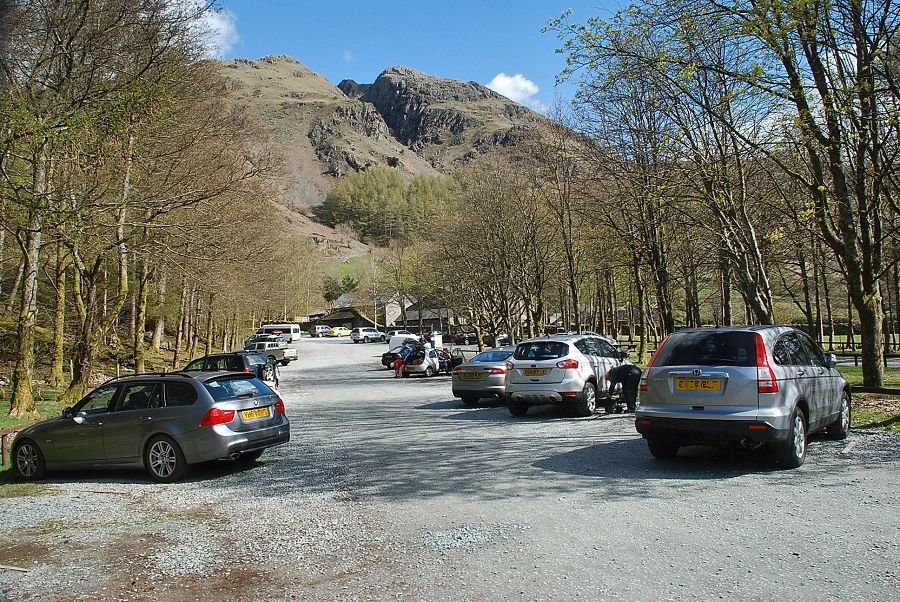
| The National Trust's Stickle Ghyll car park at the start of the walk |
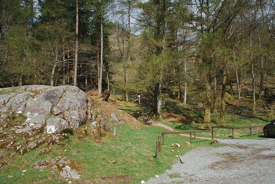 |
| Just beside the entrance to the car park is the start of a permissive path which is signed for "Dungeon Ghyll and Mickleden" |
 |
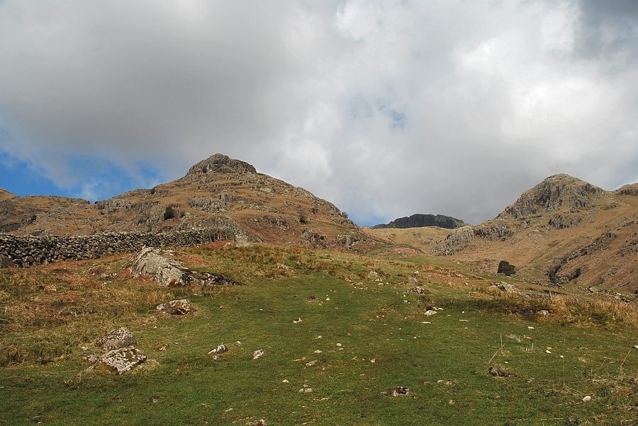
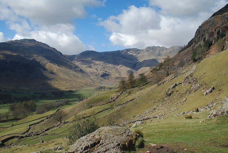
| Pike Howe comes into view as the path emerges from the trees and continues across an intake field above the car park |
 |
| Looking across to Whitegill Crag from the intake field |
 |
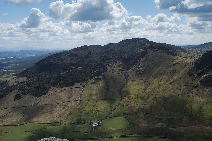
| Looking back to Lingmoor Fell and Side Pike from the intake field |
 |
| The summit of Pavey Ark appears over the head of Stickle Ghyll between the peaks of Pike Howe and Tarn Crag |
 |
| The path passes through a hand-gate at the top of the field and joins the old track which runs between the Old and New Dungeon Ghyll Hotels. The track also forms part of the Cumbria Way, a long distance path between Ulverston and Carlisle |
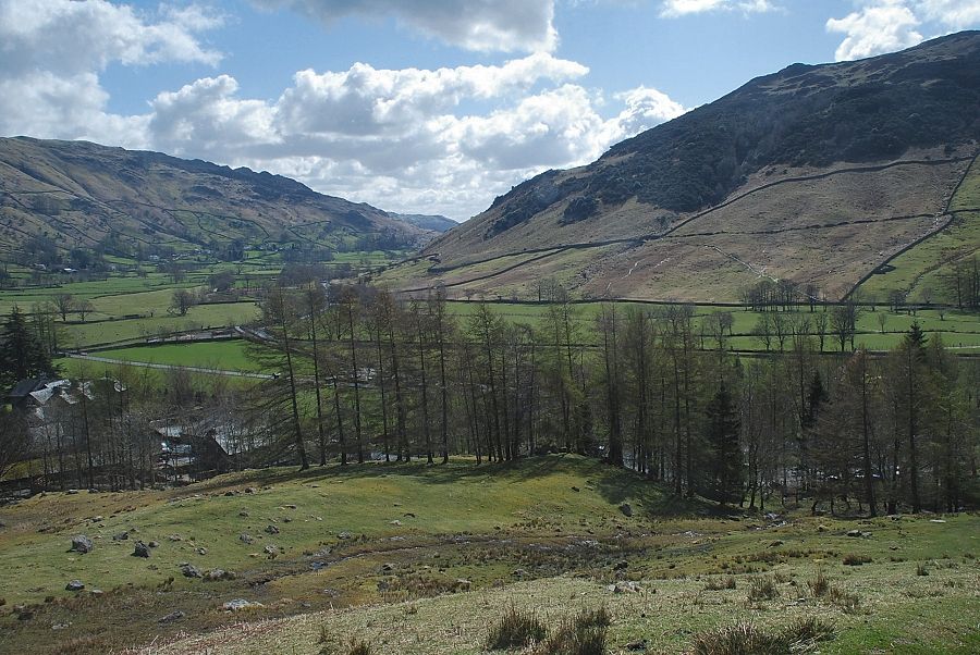 |
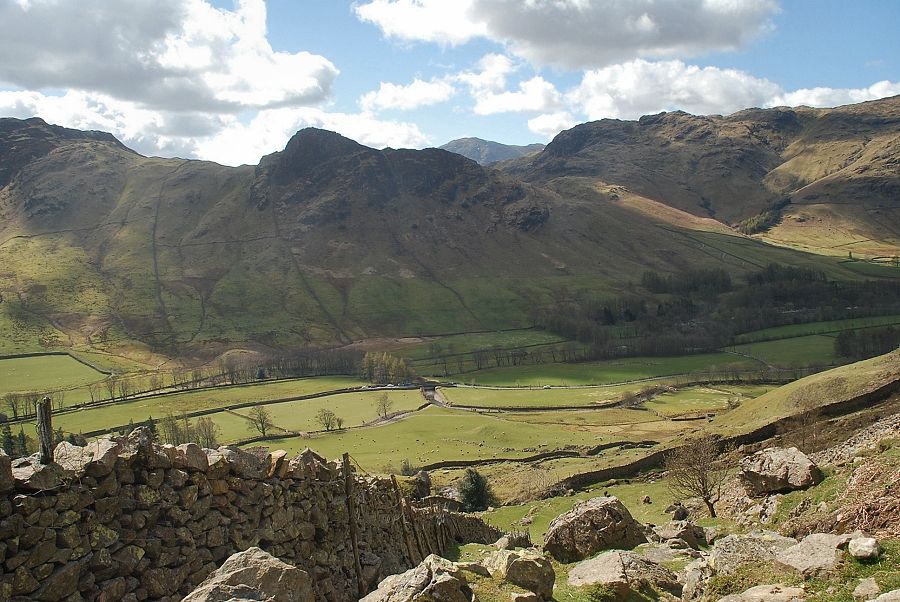
| Looking back along Great Langdale from the hand-gate, the Stickle Ghyll car park can be seen through the trees on the lower right |
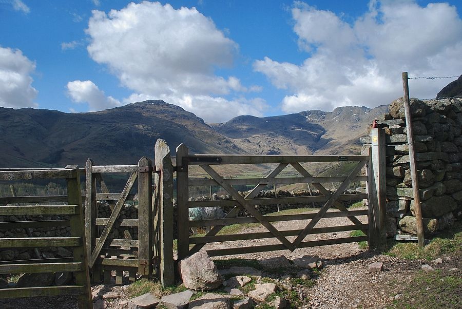 |
| Immediately above the field handgate the Cumbria Way passes through another gate and continues on bound for Stake Pass |
 |
| Looking back from the gate on the Cumbria Way |
 |
| The ascent path to Harrison Stickle turns right from the gate, passing a bench as it rises towards a stile in the intake wall above Dungeon Ghyll |
 |
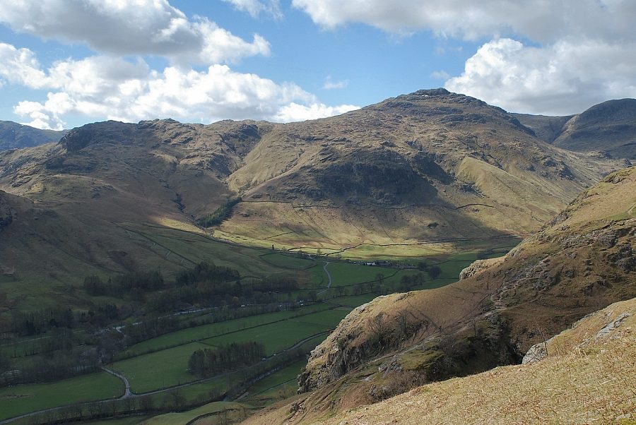
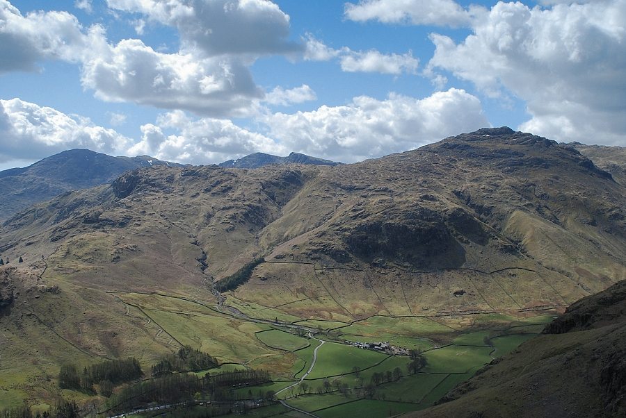
| Pike o' Blisco and Crinkle Crags from the bench |
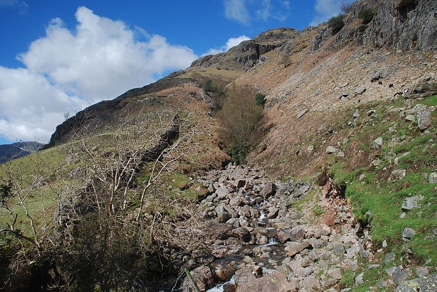 |
| The lower ravine of Dungeon Ghyll from the stile. Dungeon Ghyll Force lies hidden in the trees |
 |
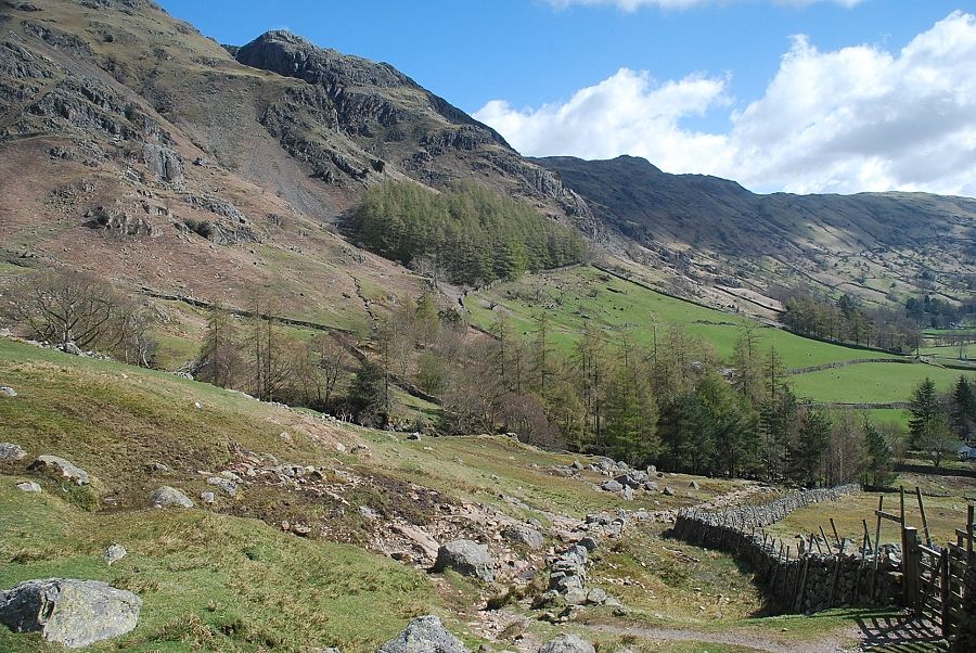
| The ascent path turns away from Dungeon Ghyll and rises beside the wall on the right beneath the steep crags on the lower slopes of Pike Howe |
 |
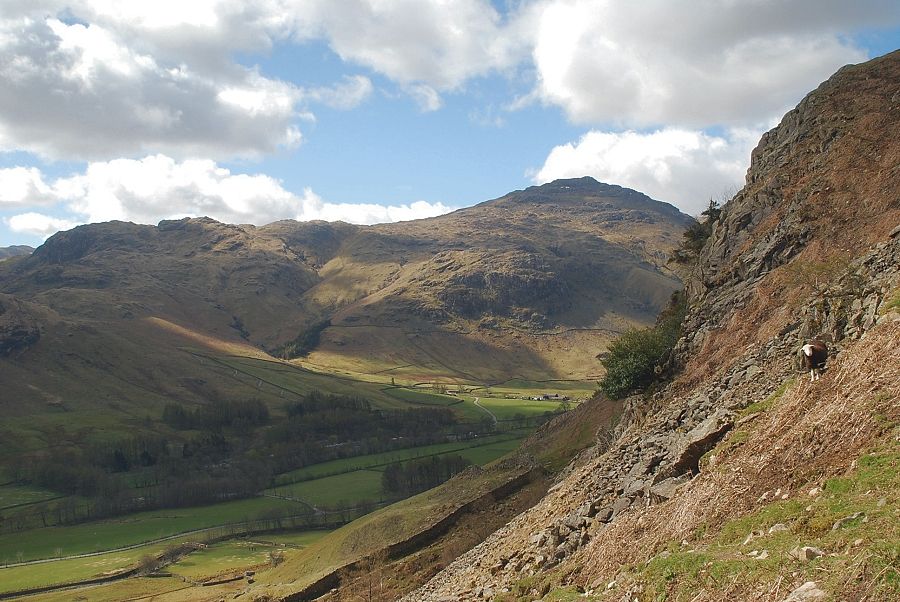
| Looking back from the start of the path to Pike Howe, Wetherlam appears between Side Pike and Blake Rigg |
 |
| Looking across to Pike o' Blisco |
 |
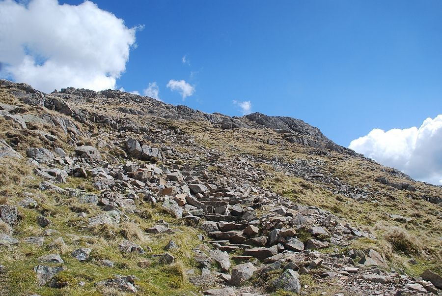
| Much of the path has been stone-pitched to cope with the heavy use this popular route receives |
 |
| At the top of the first steep rise the path reaches a shoulder overlooking Stickle Ghyll |
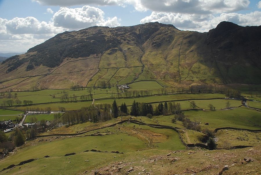 |
| Looking back to Lingmoor Fell |
 |
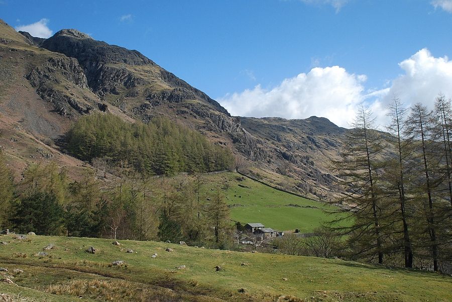
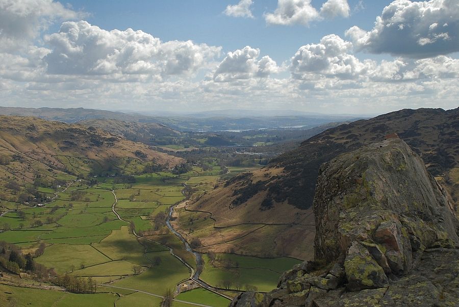
| Great Langdale |
 |
| The path turns back and climbs alongside the deep chasm of Dungeon Ghyll |
 |
| Looking over to Pike o' Blisco from the path alongside Dungeon Ghyll, the Mark Gate path (to Loft Crag) can be seen on the other side of the gill |
 |
| A wind burnt tree clinging tenaciously to edge of Dungeon Ghyll |
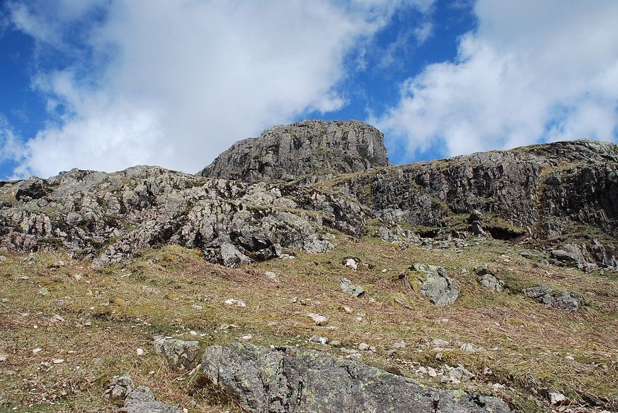 |
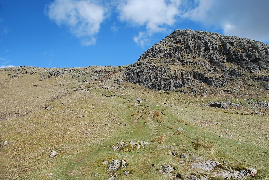
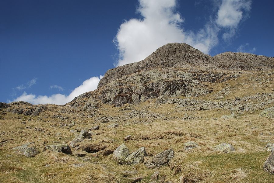
| Passing below the summit rocks of Pike Howe |
 |
| The summit of Harrison Stickle comes into view |
 |
| The middle ravine of Dungeon Ghyll |
 |
| The path turns away from Dungeon Ghyll and climbs to a saddle behind Pike Howe |
 |
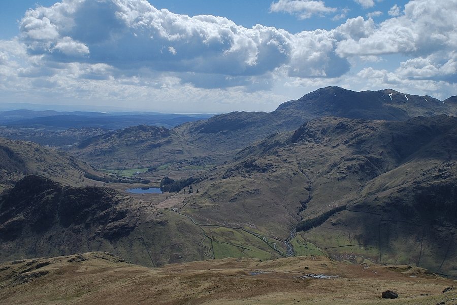
| Great Langdale and Windermere |
 |
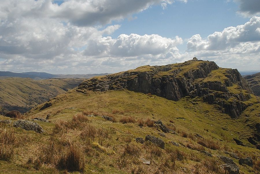
| Thorn Crag above the head of the middle ravine of Dungeon Ghyll |
 |
| Lingmoor Fell from the climb to Pike Howe |
 |
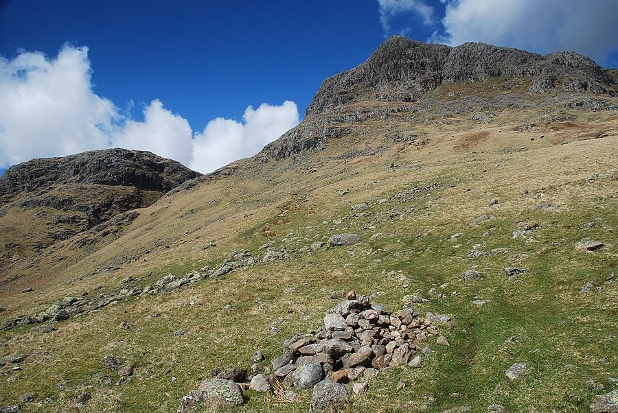
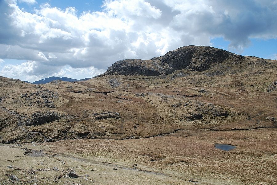
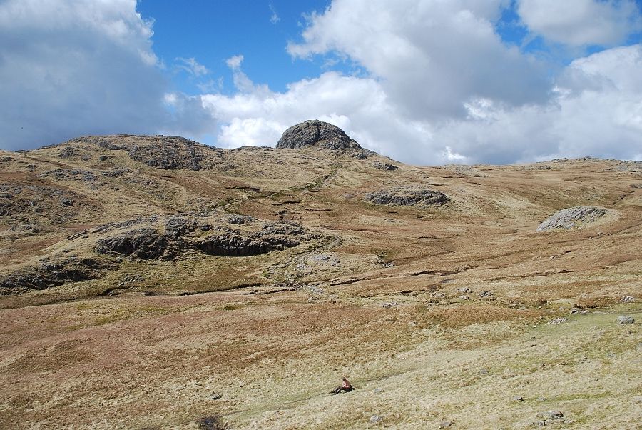
| The summit of Pike Howe from the saddle |
 |
| Harrison Stickle from the summit of Pike Howe |
 |
| Pavey Ark from the summit of Pike Howe |
 |
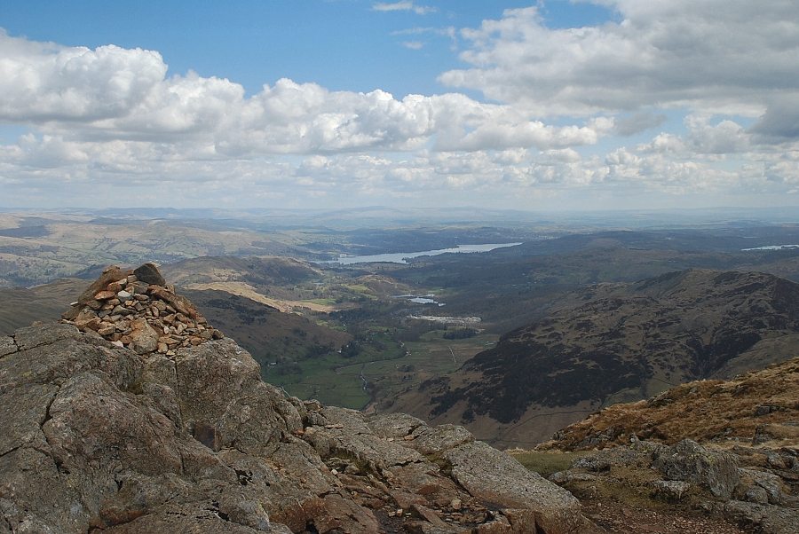
| Great Langdale and Windermere from Pike Howe |
 |
| Lingmoor Fell from Pike Howe |
 |
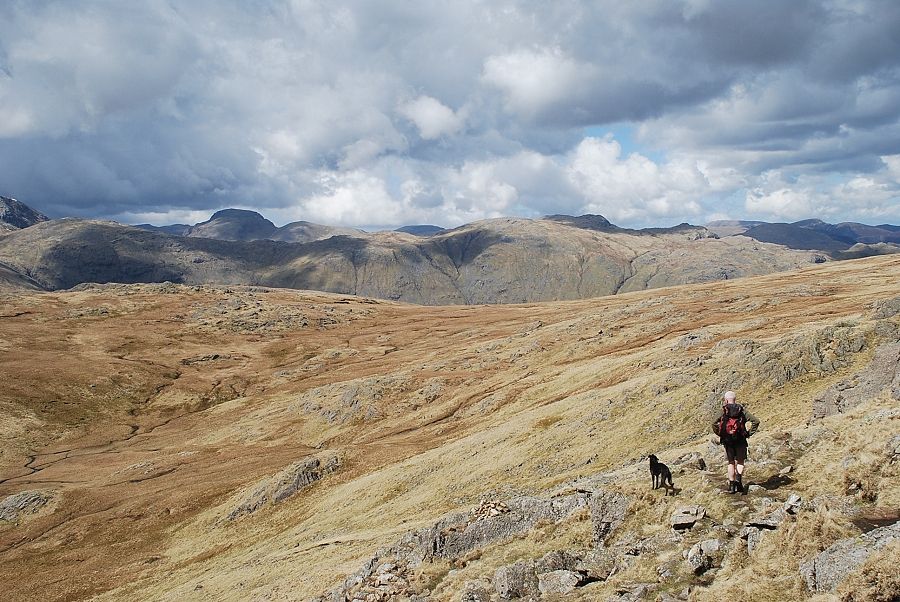
| Wetherlam, Swirl How, Great Carrs and Pike o' Blisco from the summit of Pike Howe |
 |
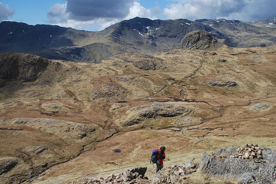
| The path continues on from Pike Howe along a broad ridge, heading towards a high shelf which overlooks the deep upper ravine of Dungeon Ghyll |
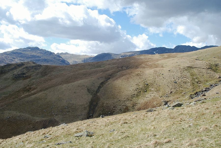 |
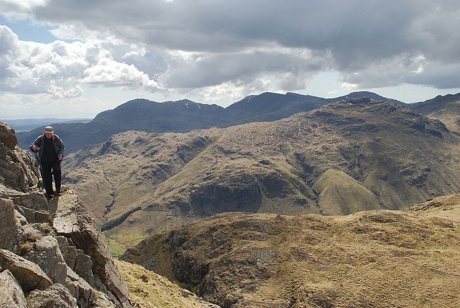
| Looking over to Pike o' Blisco, Cold Pike and Crinkle Crags |
 |
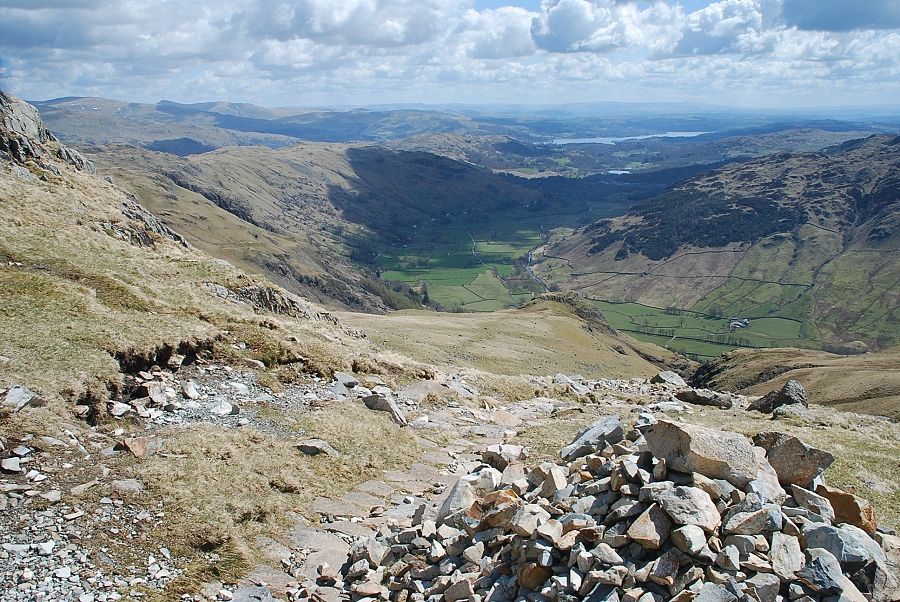
| Looking back to Great Langdale and Windermere, the summit of Pike Howe can be seen on the lower right |
 |
| Looking back to Blea Tarn |
 |
| The southern crags of Harrison Stickle |
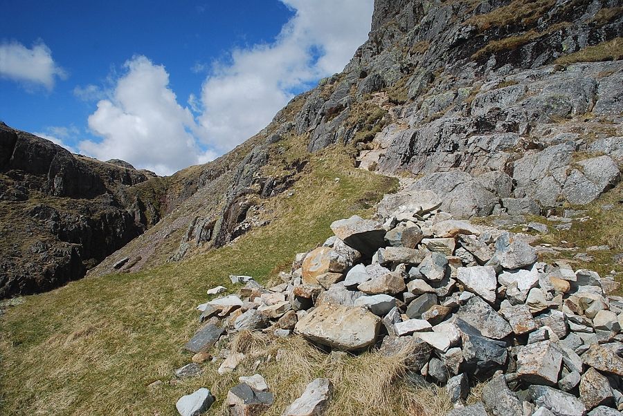 |
| A marker cairn indicates the start of the path which traverses the steep slope between the south-west buttress of Harrison Stickle and the upper ravine of Dungeon Ghyll. The path is quite easy to follow but does require care, particulary towards the end of the traverse |
 |
| Looking back from the marker cairn |
 |
| Looking back to Blea Tarn and Wetherlam from the marker cairn |
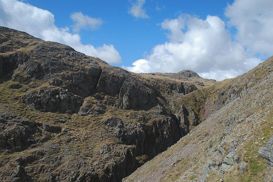 |
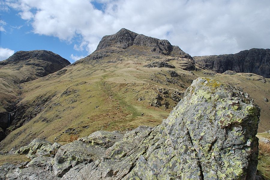
| The summit of Pike o' Stickle appears over the head of the upper ravine of Dungeon Ghyll |
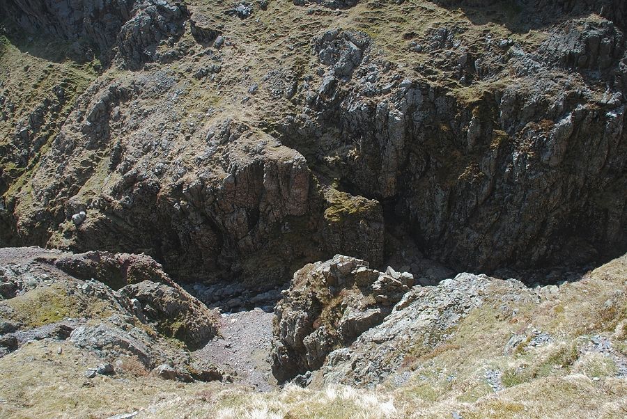 |
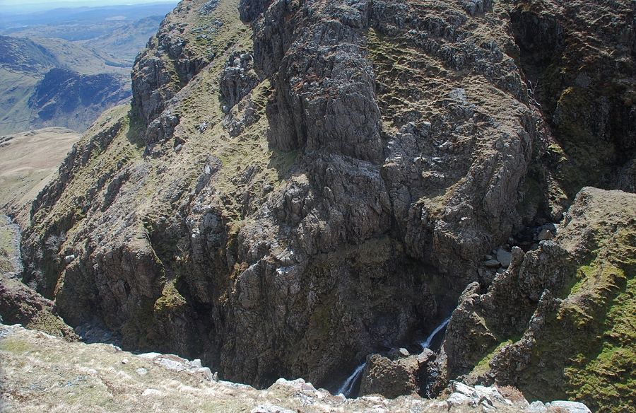
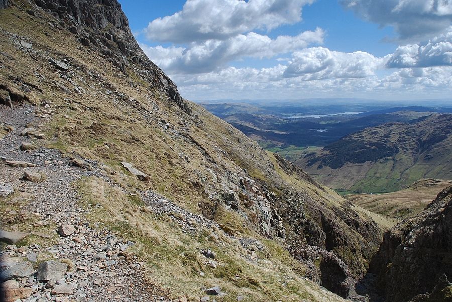
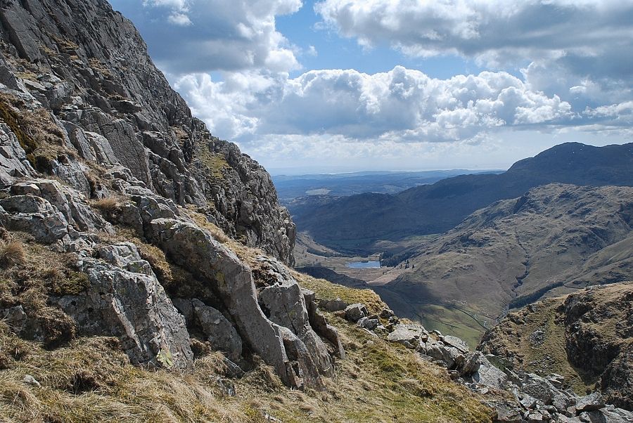
| Looking down into the ravine from the traverse path |
 |
| Looking across to Swirl How, Great Carrs, Pike o' Blisco and Cold Pike |
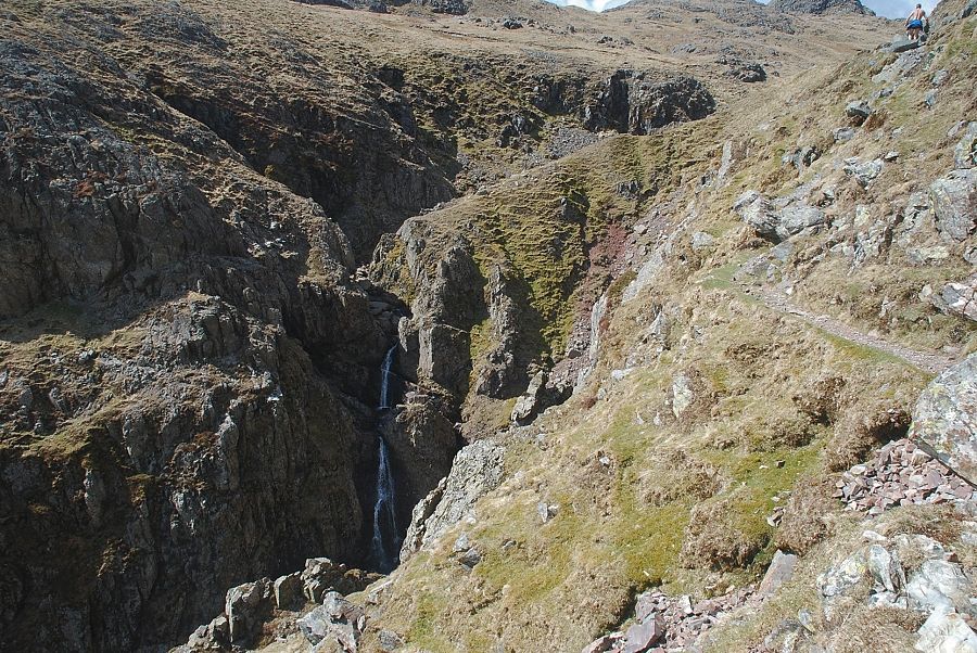 |
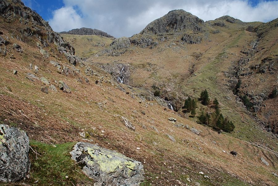
| The waterfalls at the head of the upper ravine. |
 |
| Looking down on the waterfalls |
 |
| Looking back from the end of the traverse path |
 |
| The traverse path enters the broad hanging valley of Harrison Combe, where a marker cairn indicates the start of a path which climbs towards the rocky western flank of Harrison Stickle |
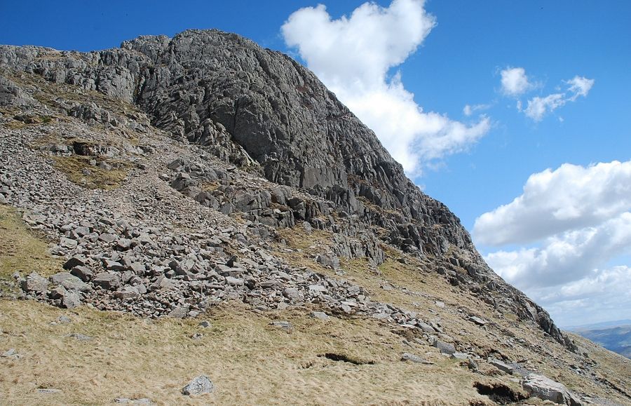 |
| The south-west buttress of Harrison Stickle from the marker cairn |
 |
| The path on the western flank of Harrison Stickle |
 |
| Looking back to Loft Crag |
 |
| Looking across Harrison Combe to the summit of Pike o' Stickle |
 |
| Great End, Great Gable and Glaramara appear on the horizon over the head of Harrison Combe |
 |
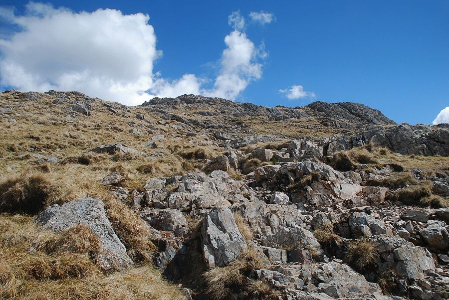
| Although the path is easy to follow it does encounter a few rock steps higher on the slope |
 |
| Looking across to Blea Tarn and Wetherlam |
 |
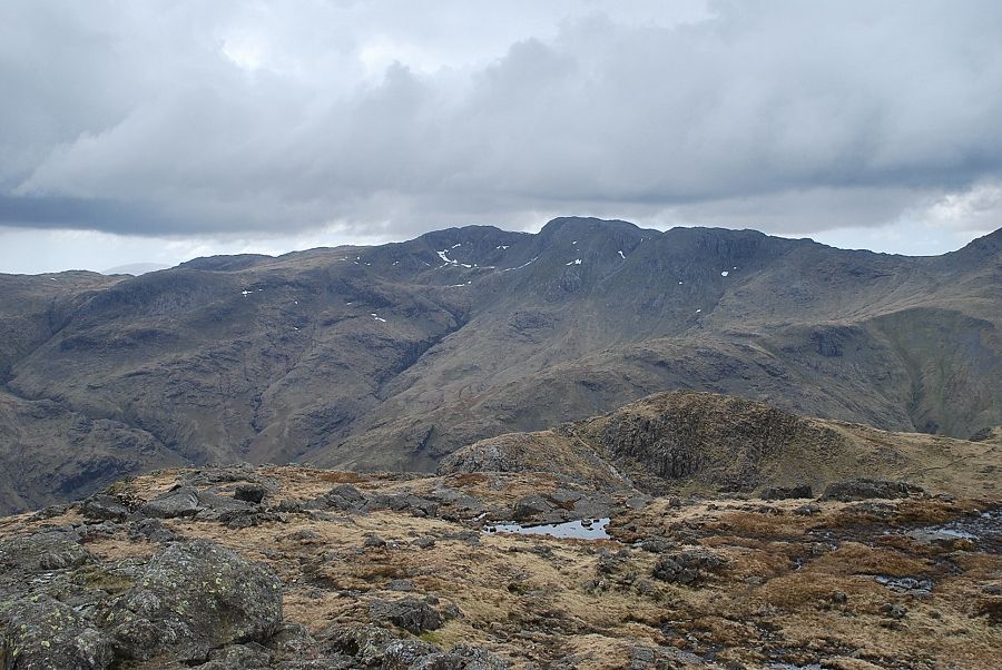
| Looking back across Harrison Combe to Crinkle Crags and Bowfell |
 |
| Looking over the head of Harrison Combe |
 |
| The Coniston fells over Pike o' Blisco |
 |
| The summit ridge comes into view |
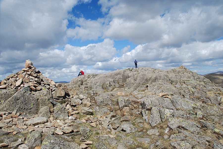 |
| The summit of Harrison Stickle, the north cairn occupies the highest point on the right |
 |
| High Raise from the north cairn |
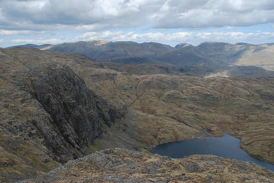 |
| Stickle Tarn from the north cairn with Pavey Ark on the left |
 |
| Looking east, Dove Crag, High Street, Caudale Moor, Ill Bell and Yoke on the horizon |
 |
| Windermere from the summit of Harrison Stickle |
 |
| Rain showers sweep across the Coniston fells beyond Pike o' Blisco and Cold Pike |
 |
| Crinkle Crags over Loft Crag |
 |
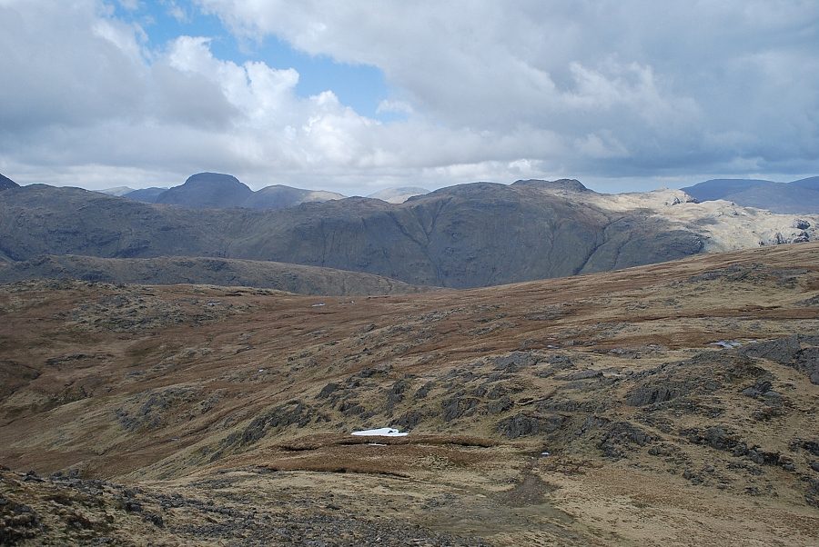
| Bowfell, Scafell Pike, Esk Pike and Great End over Pike o' Stickle |
 |
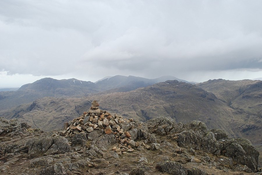
| The Gables and Glaramara |
 |
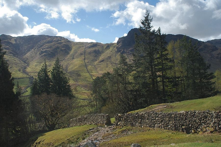
| Lingmoor Fell from the edge of the southern crags of Harrison Stickle |
