 |
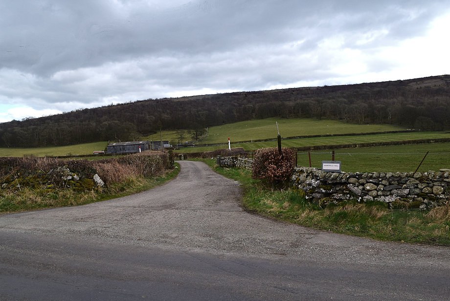
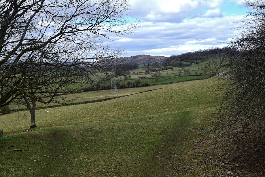
| Hampsfell from the Hampsfell Hall Farm access lane which leads off Old Town Hill road. There is a long lay-by a little further along the road which provides ample parking |
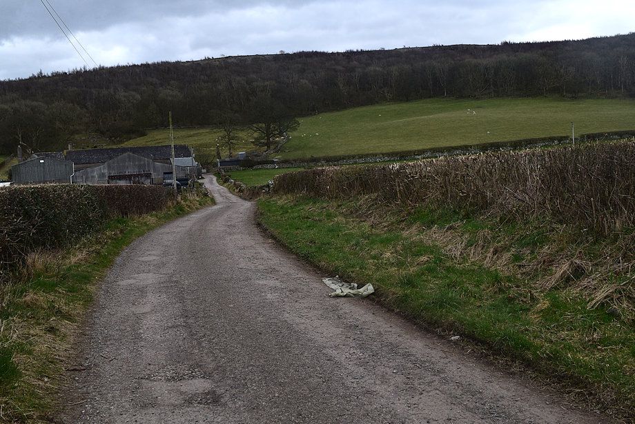 |
| Approaching Hampsfell Hall Farm |
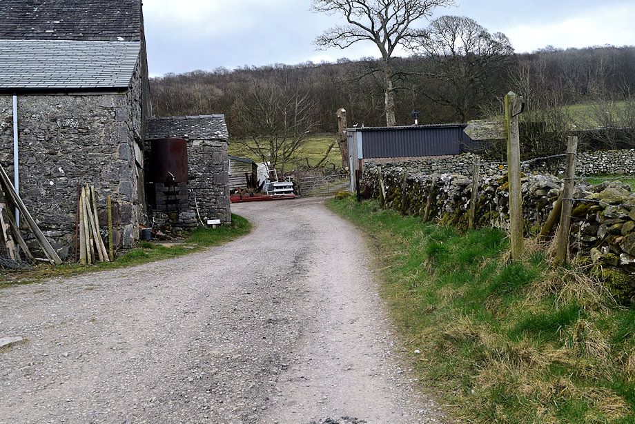 |
| A signpost indicates the right of way which leads along a farm track between the barns |
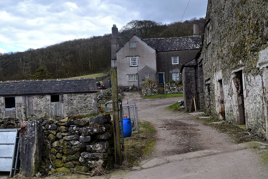 |
| Hampsfell Hall was built in 1635. Behind the Hall, a little further up the slope, are the remains of a medieval pele tower which was demolished in 1814 and its materials used to extend the farm's outbuidings |
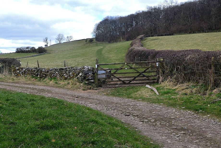 |
| The farm track is only followed for 250 yards to a gate which gives access to a green path rising through a pasture |
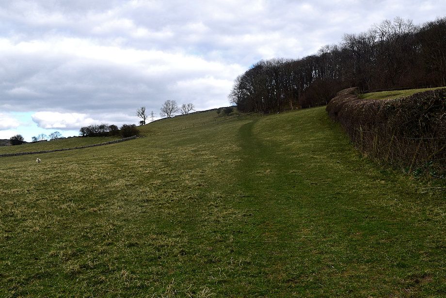 |
| The path climbs up to and follows the edge of Heaning Wood |
 |
| looking over to the Coniston Fells |
 |
| looking over to White Stone and Saskills on Newton Fell |
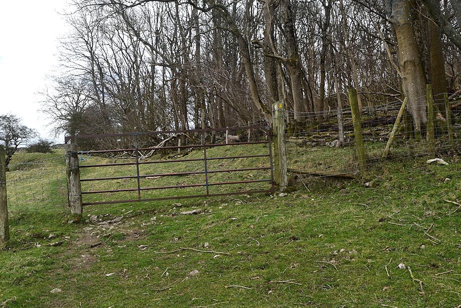 |
| A gate by the edge of Heaning Wood gives access to another pasture |
 |
| A distant view of thhe Langdale Pikes from the gate |
 |
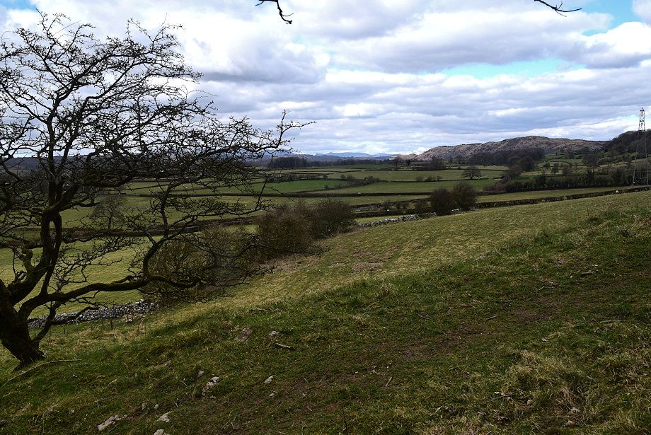
| The Coniston Fells from higher on the second pasture |
 |
| The path curves around the edge of Heaning Wood at the top of the pasture |
 |
| Saskills from the top of the second pasture |
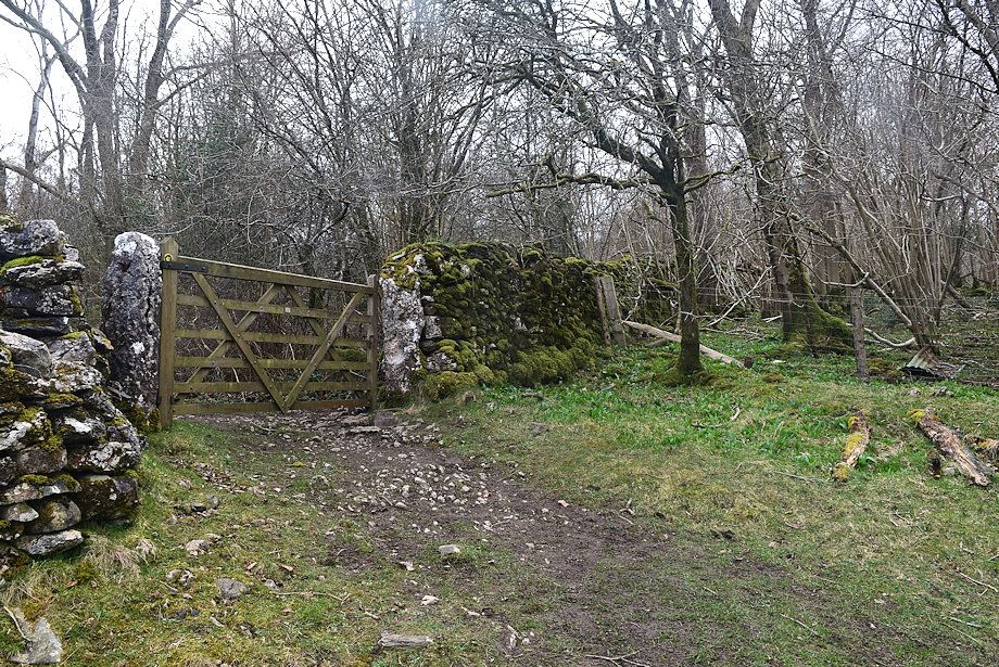 |
| Another gate gives access to Forestry Commission land |
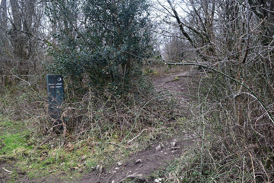 |
| The path splits we take the right fork which climbs south through Hampsfield Allotment |
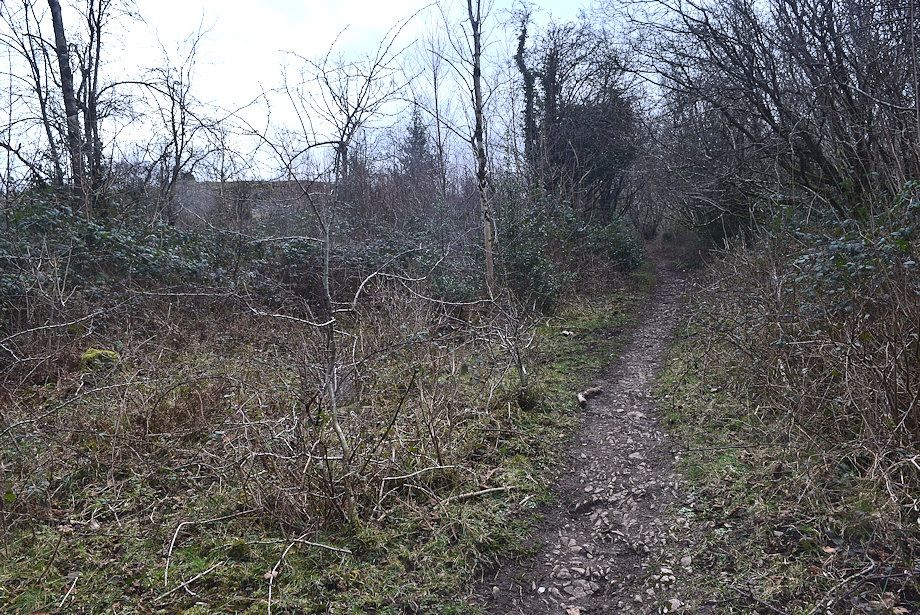 |
| The thin path initially passes through a dense area of coppiced trees ..... |
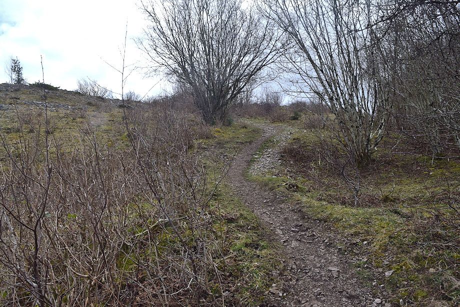 |
| ..... but soon emerges onto more open slopes |
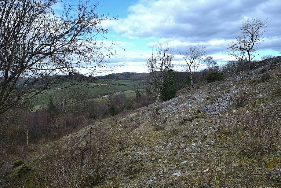 |
| The Forestry Commission have removed all of the pine trees in Hampsfield Allotment to allow the native trees to regenerate |
 |
| Newton Fell from Hampsfield Allotment |
 |
| The Langdale Pikes over Denning Wood |
 |
| The path broadens as it gains height through the sparse woodland |
 |
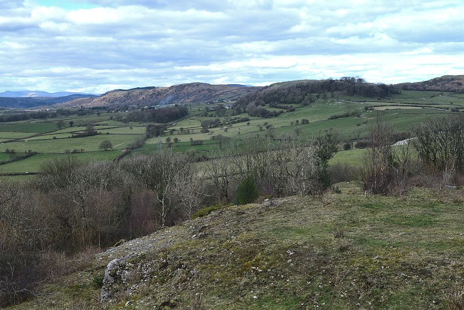
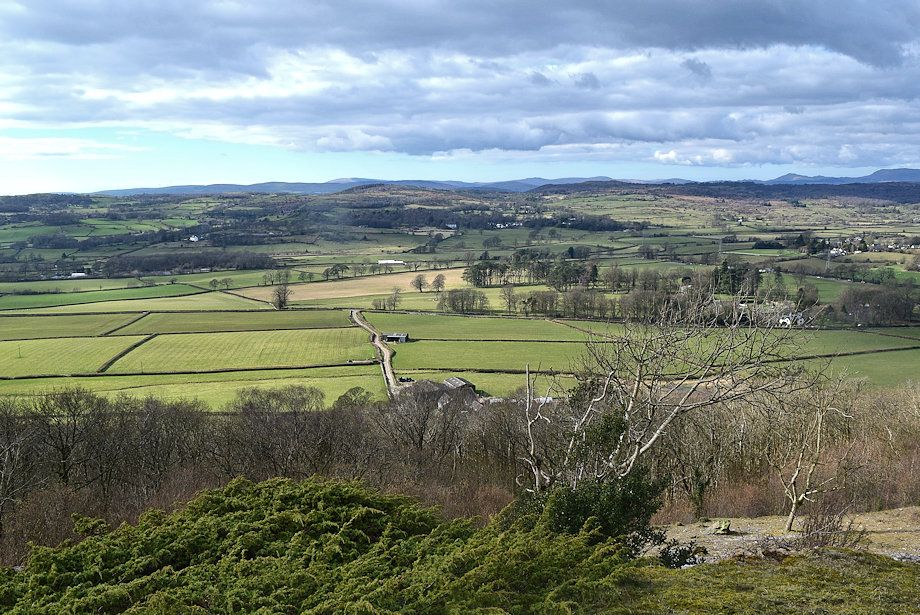
| Cartmel comes into view, the stumps of the pine trees can be seen on the slope above Denning Wood |
 |
| Approaching the two erratic limestone boulders known as Robin Hood and Little John |
 |
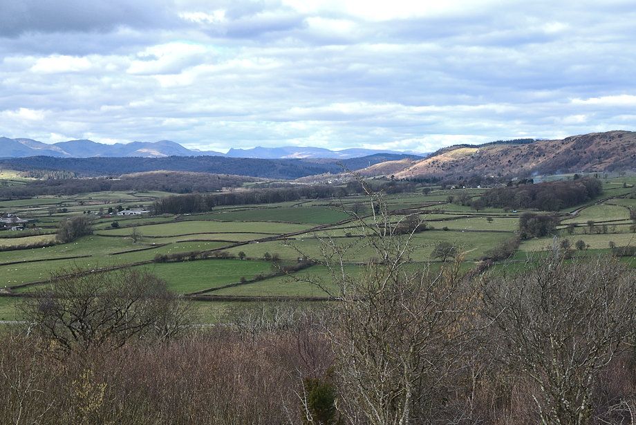
| The Coniston Fells and the Langdale Pikes across the Cartmel Valley |
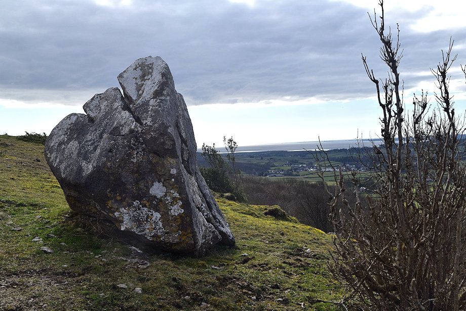 |
| Cartmel from one of the boulders which is about six feet high |
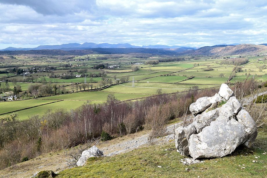 |
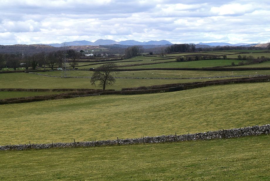
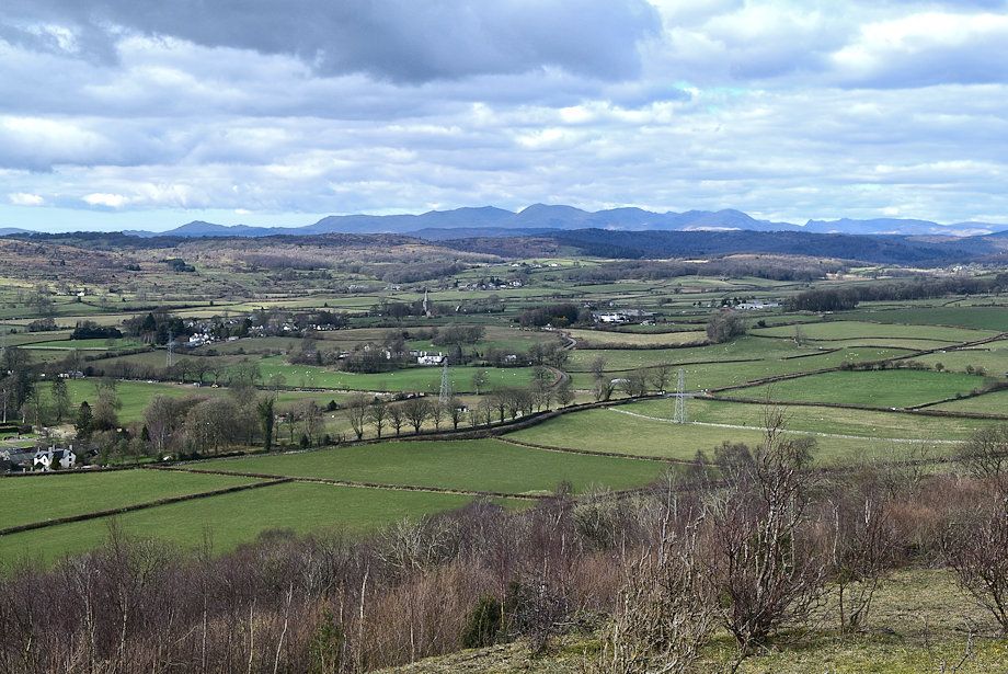
| The upper part of the Cartmel Valley |
 |
| Robin Hood and Little John ....or is the other way round! |
 |
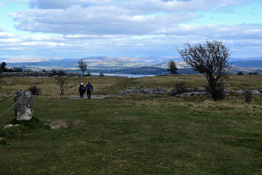
| The summit of Hampsfell comes into view |
 |
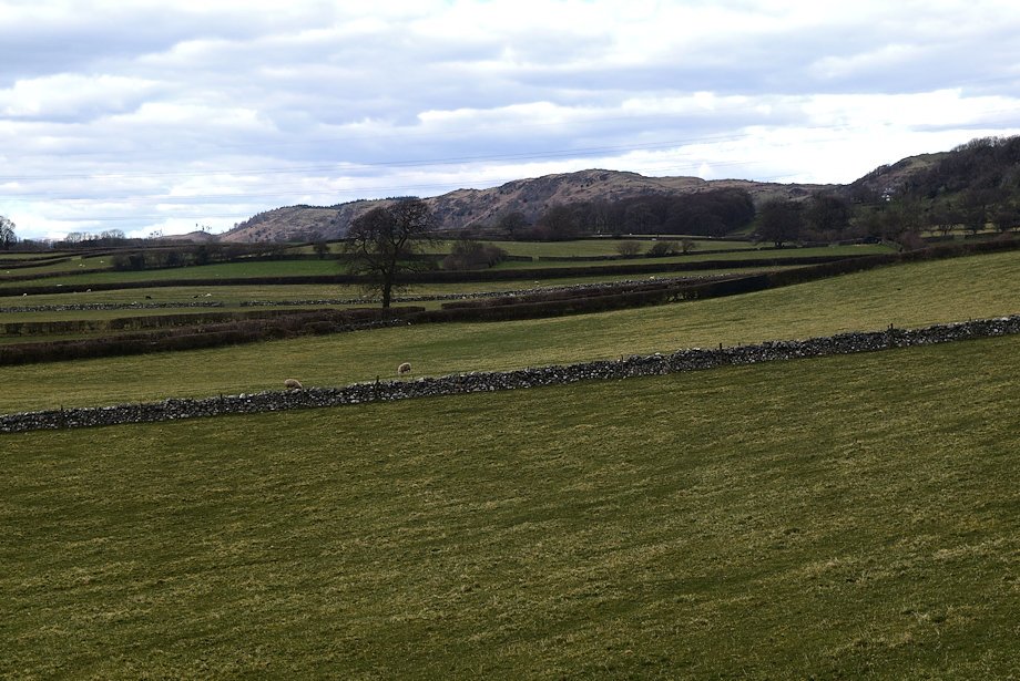
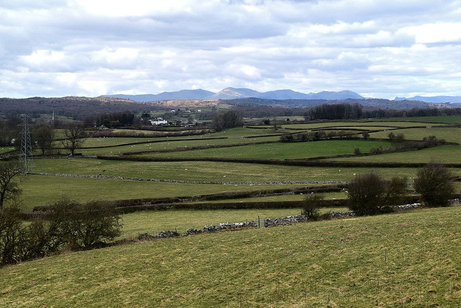
| Looking across the middle part of the Cartmel Valley |
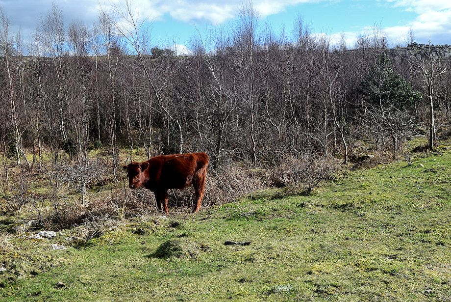 |
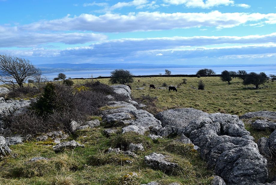
| The Forestry Commission uses conservation grazing by cattle to aid regenaration, this calf is busy nibbling away at some invasive thorn shrubbery |
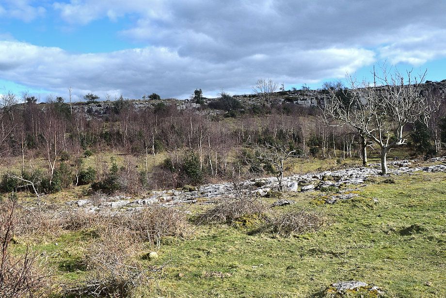 |
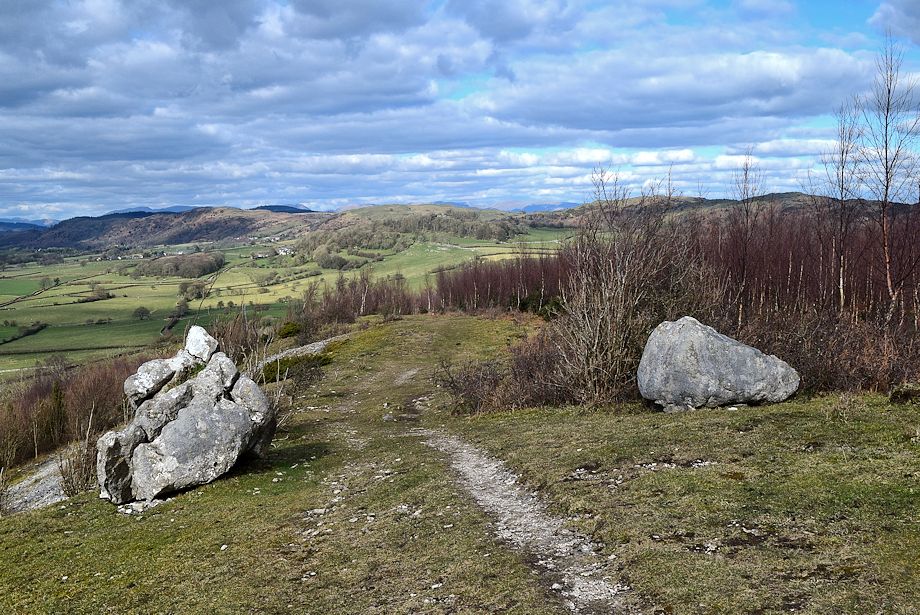
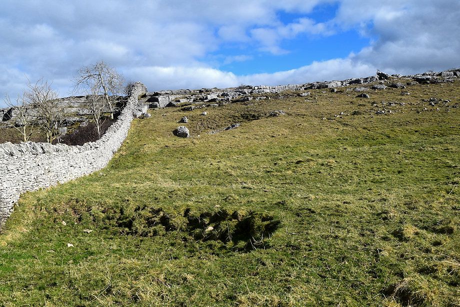
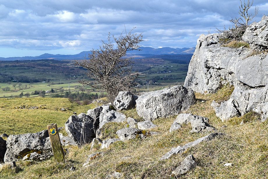
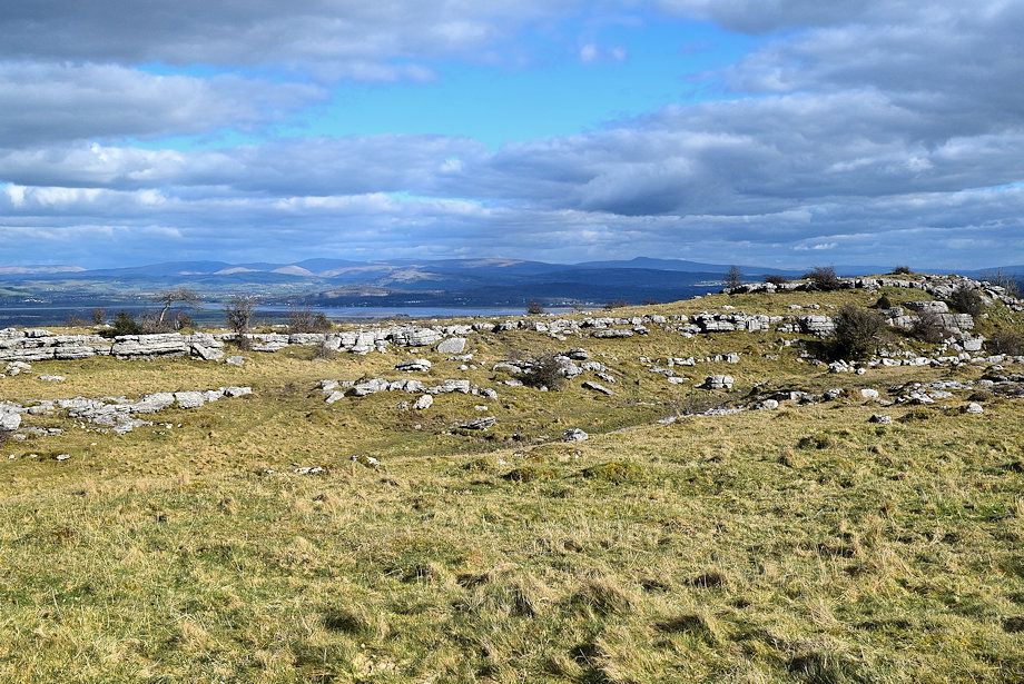
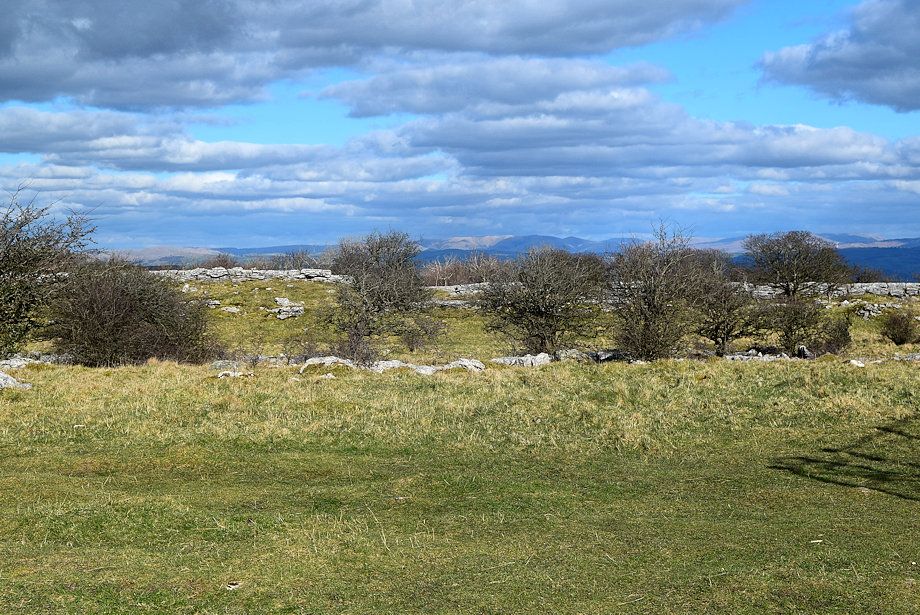
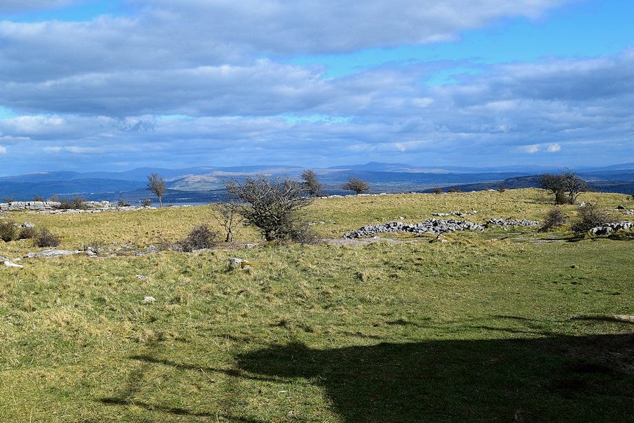
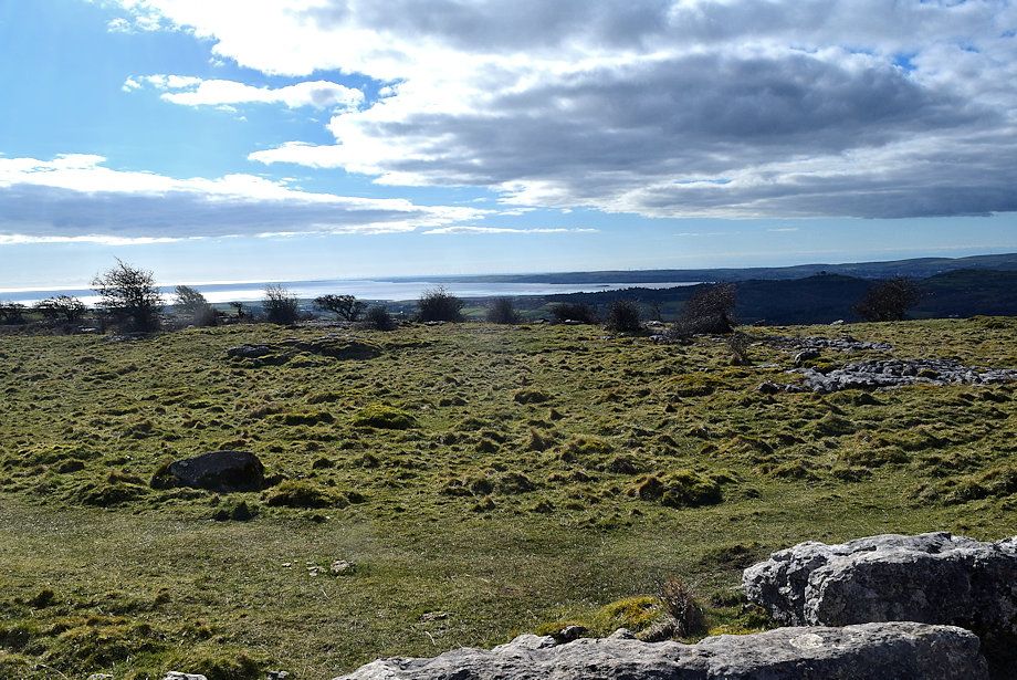
| To the left is a long line of limestone escarpment |
 |
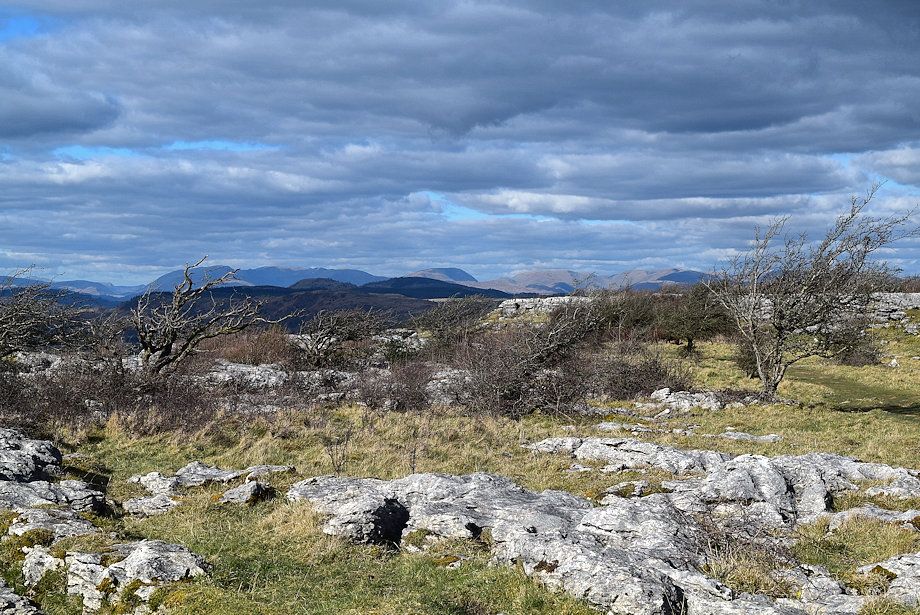
| Looking back some of the higher fells appear on the horizon incuding Helvellyn, Red Screes and High Street |
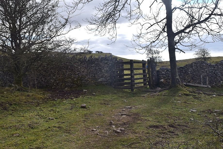 |
| Leaving Hampsfell Allotment by a handgate in its enclosure wall |
 |
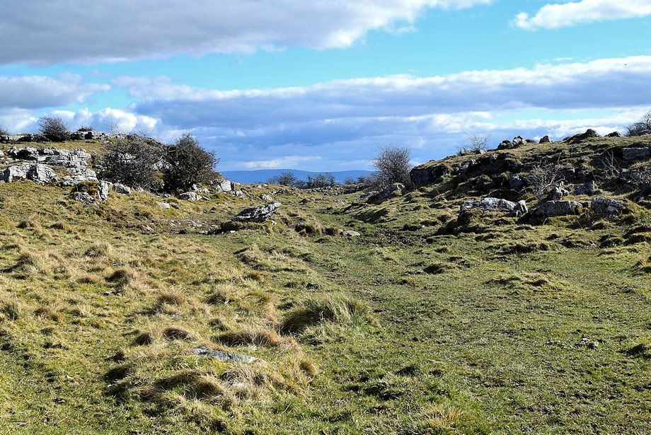
| The path splits beyond Hampsfell Allotment enclosure wall ..... |
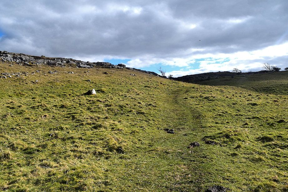 |
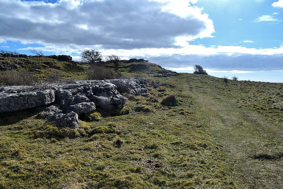
| ..... we continue on the left branch as it runs below the limestone escarpment |
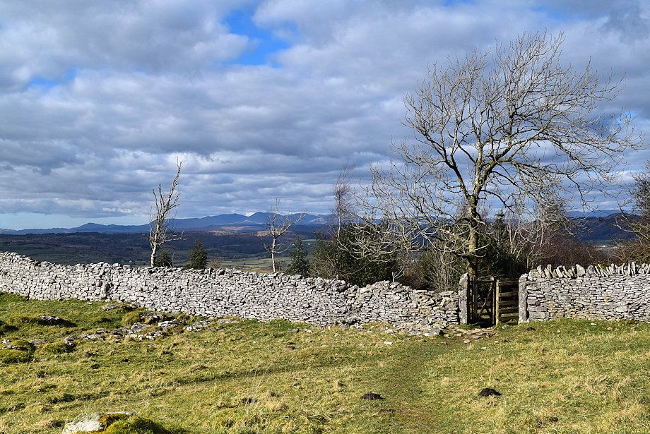 |
| Looking back to the handgate in the Hampsfield Allotment enclosure wall |
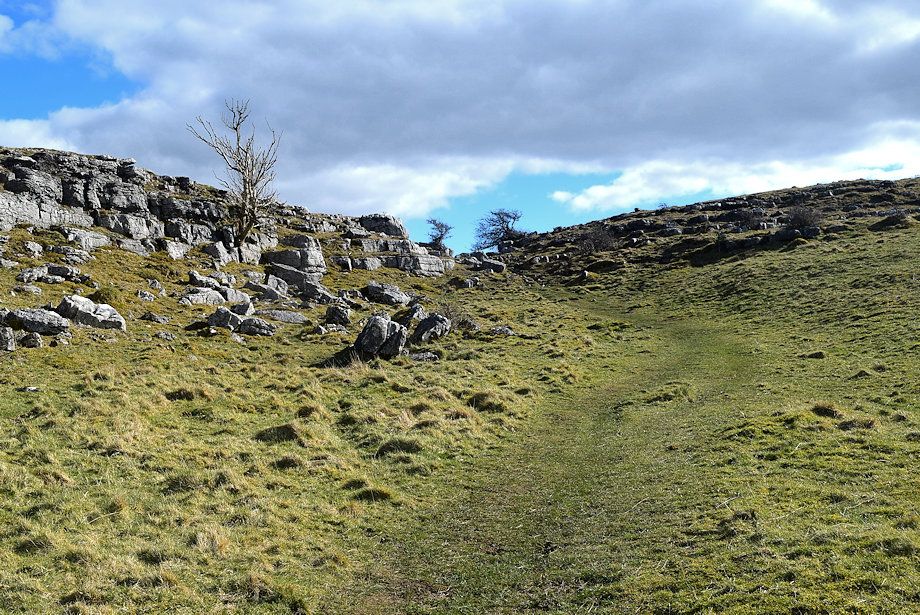 |
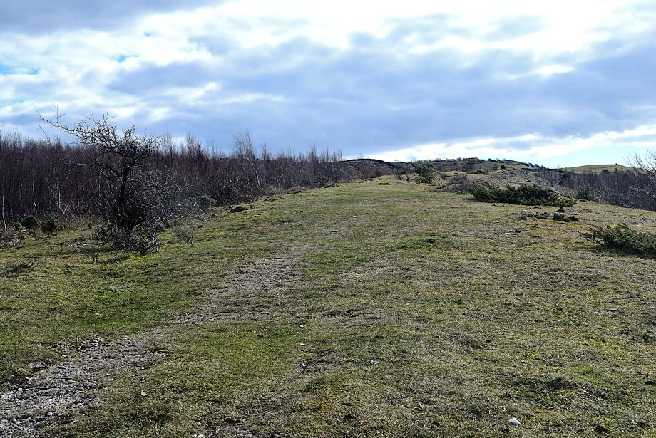
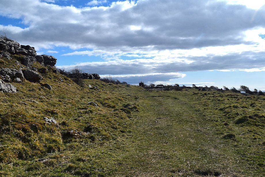
| The path approaches a wide gap in the limestone escarpment |
 |
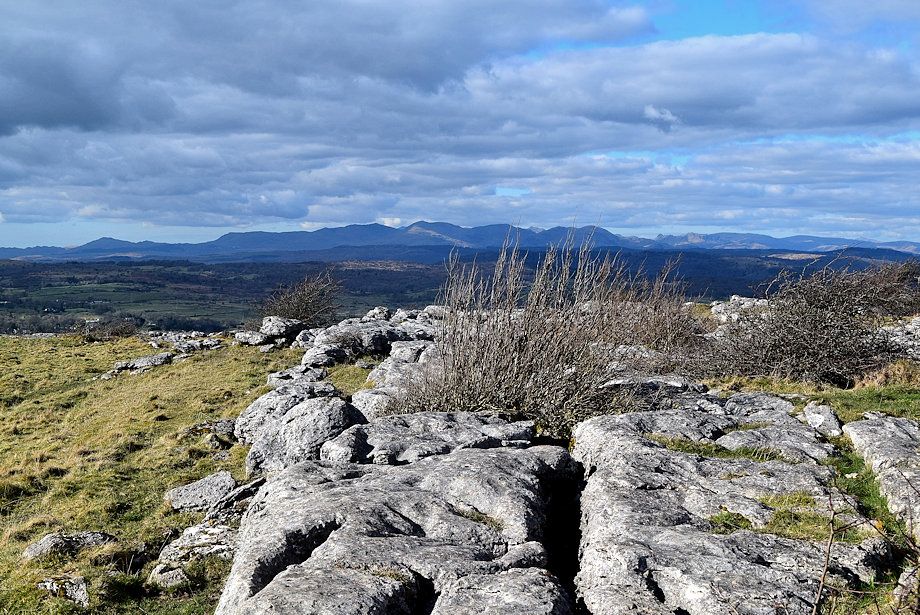
| The Coniston Fells from the gap in the limestone escarpment |
 |
| A path continues on through the gap to approach the summit from the east |
 |
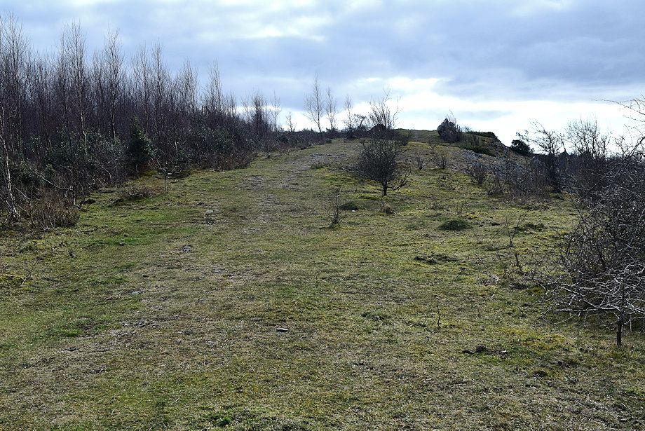
| We continue straight ahead directly towards the summit |
 |
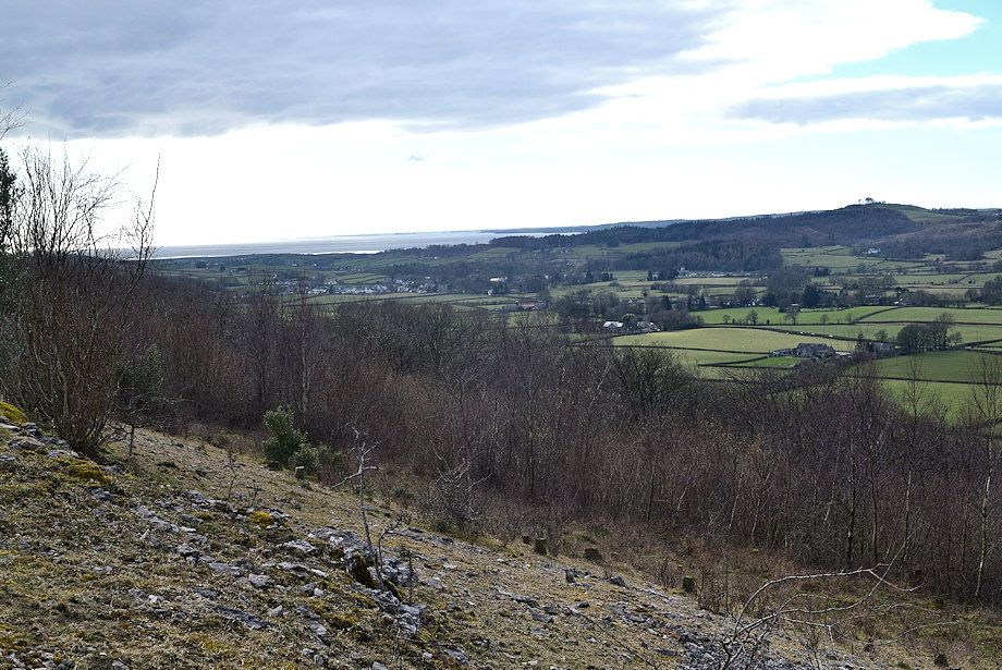
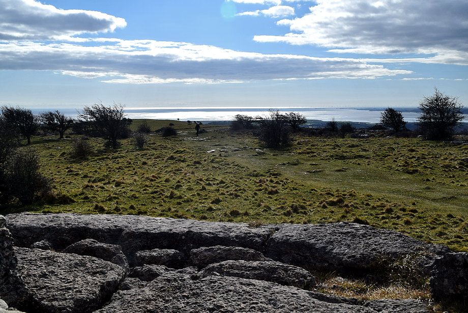
| Looking over the escarpment gap to the Kent Estuary |
 |
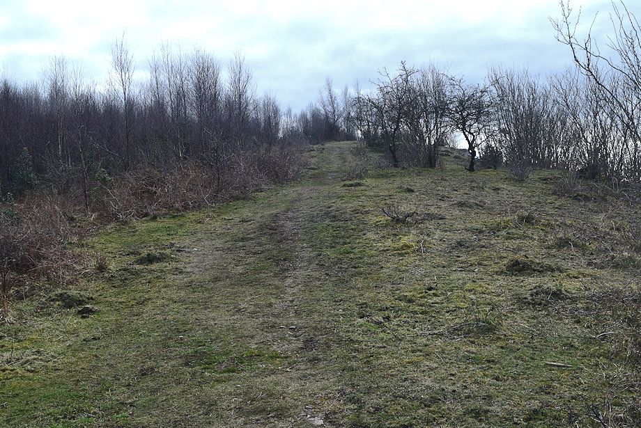
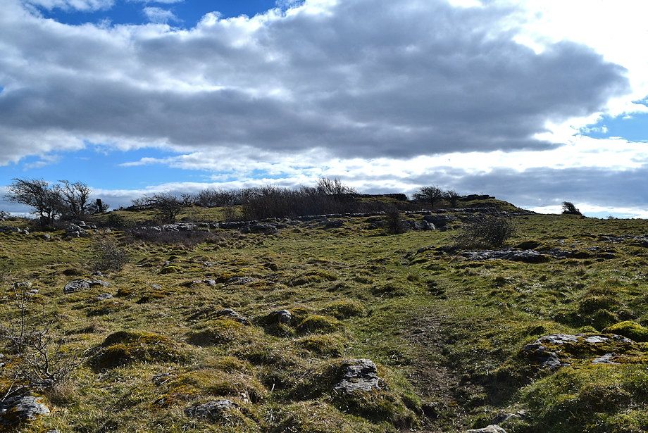
| The summit should come into view on passing the tree on the right |
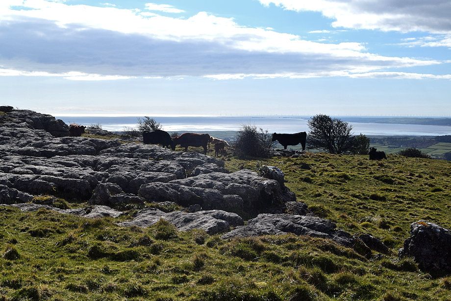 |
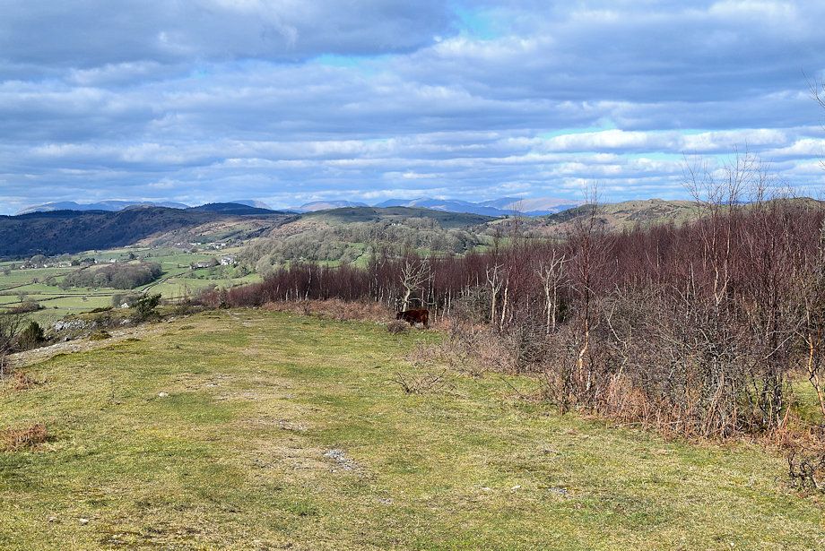
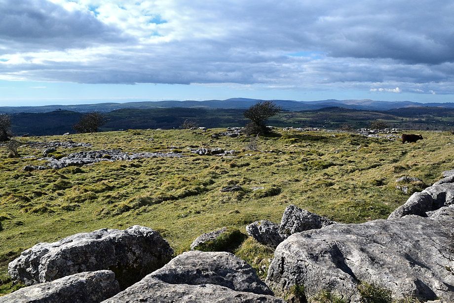
| Lots of cattle on the fell today |
 |
| The hospice on the summit comes into view |
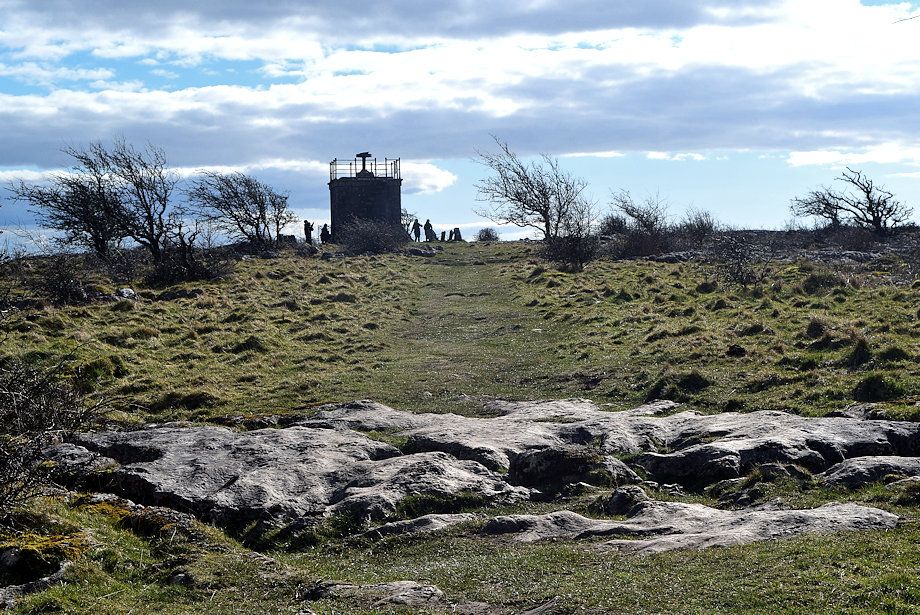 |
| Approaching Hampsfell Hospice |
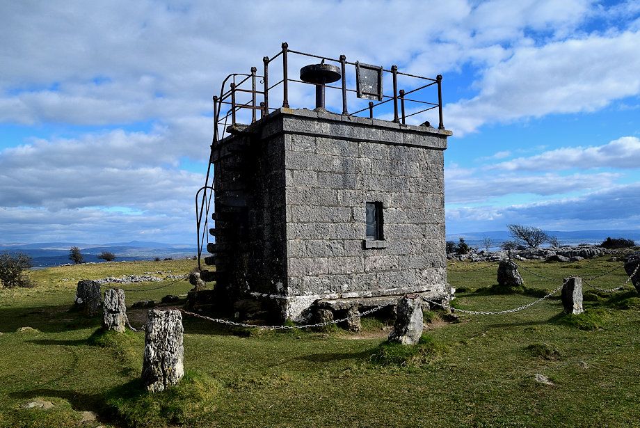 |
| The Reverend Thomas Remington who was vicar of Cartmel between 1835-1854 made a habit of walking to the top of Hampsfell every morning before breakfast and in thanksgiving for all the beauty he had seen, he had the hospice built as a shelter for travellers. There are stone steps inset into the north wall to access the roof which serves as a viewing platform. The interior is furnished with stone seats and a fireplace |
 |
| Looking north from the summit of Hampsfell to Helvellyn and Red Screes on the left with the Far Eastern Fells of Caudale Moor and High Street on the right |
 |
| The Howgills from the summit of Hampsfell |
 |
| Ingleborough from the summit of Hampsfell |
 |
| The Kent Estuary from the summit of Hampsfell |
 |
| The Forest of Bowland hills from the summit of Hampsfell |
 |
| Morecambe Bay from the summit of Hampsfell |
 |
| The Leven Estuary and the Furness Peninsula from the summit of Hampsfell |
 |
| Black Combe from the summit of Hampsfell |
 |
| The Coniston Fells from the summit of Hampsfell |