 |
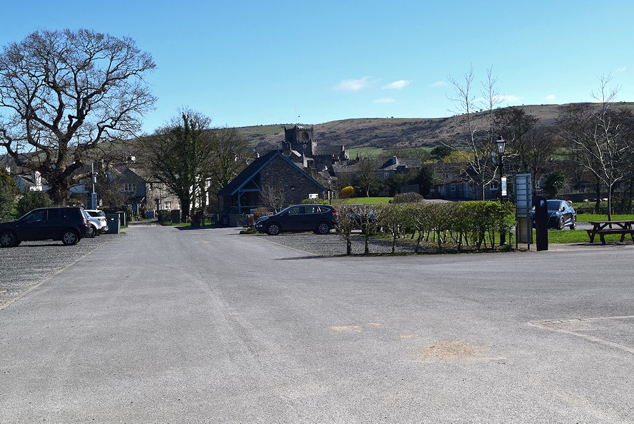
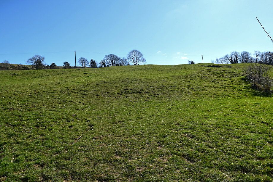
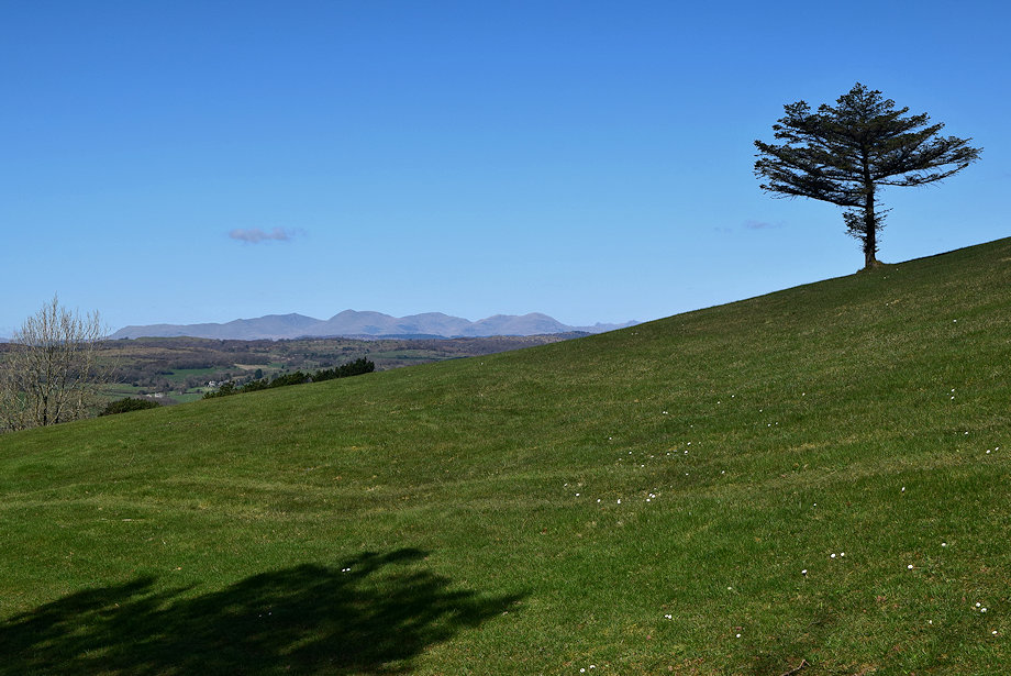
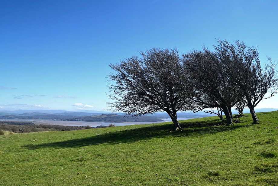
| Hampsfell from Cartmel car park |
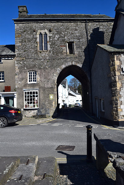 |
| The Gatehouse of Cartmel Priory in the village square, apart from the priory church it is the only remnant of the monastery which was founded in 1190. After the Dissolution of the Monasteries the gatehouse was used as a Manorial Court and later as a school. It is now in the care of the National Trust |
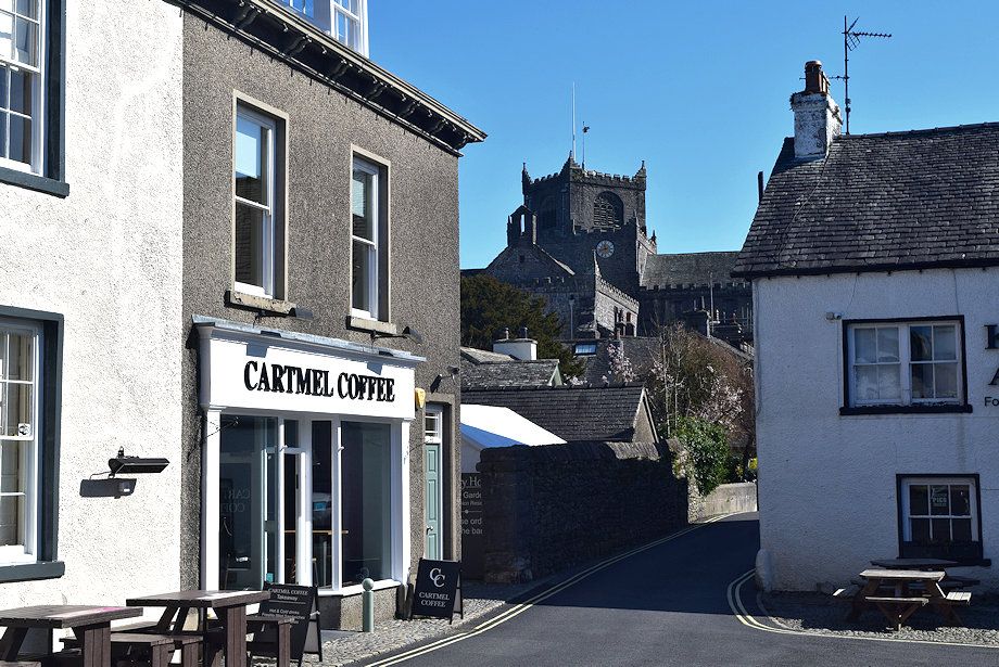 |
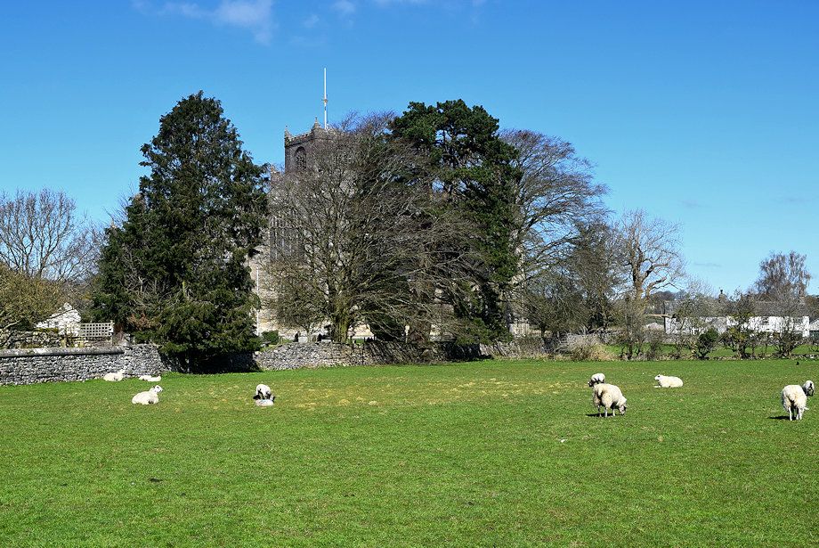
| Cartmel Priory Church from the village square |
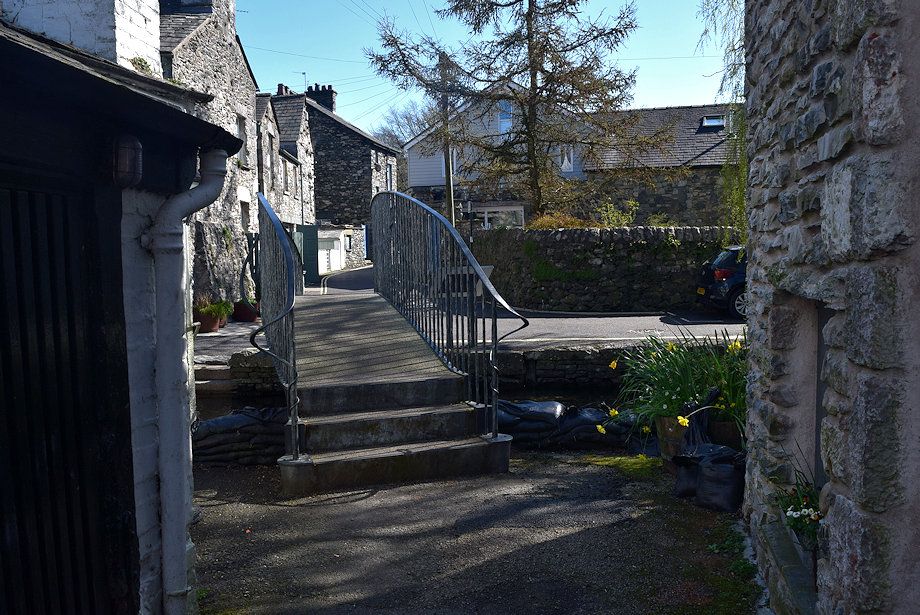 |
| Leave the village square to cross the River Eea via the new footbridge over the site of the medieval ford |
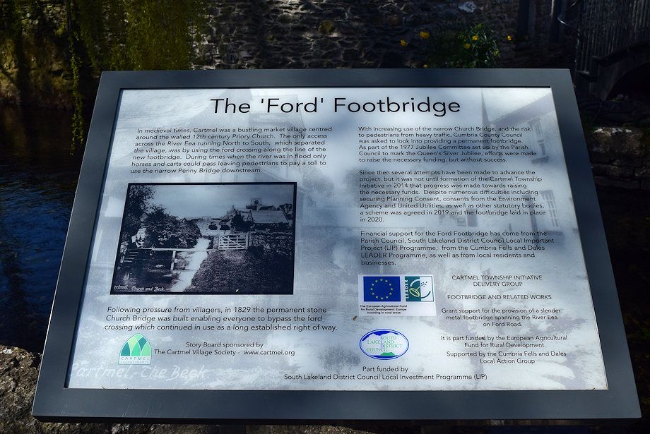 |
| The information board detailing the history of The Ford |
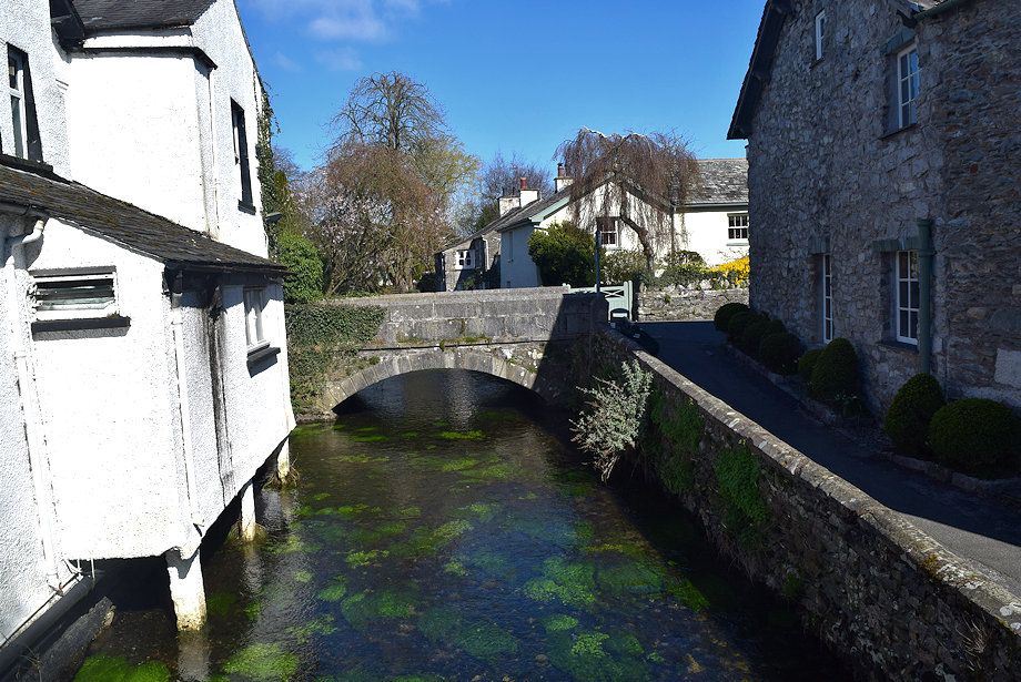 |
| Church Bridge from The Ford footbridge |
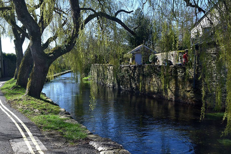 |
| The old Penny Bridge still exists, located at the end of a short path beyond the willow trees, it is now blocked and in a semi-ruinious state |
 |
| Walk along The Causeway to Town End, in medieval times this was a raised timber causeway which crossed ill-drained land between the main monastic buildings and its barns and workshops |
 |
| The Priory Church from The Causeway. The monastery was built on what was virtually an island of slightly higher ground bounded by three water courses - the Eea which streams north to south, Priest's Well, streaming south to north and Flow Beck streaming east to west |
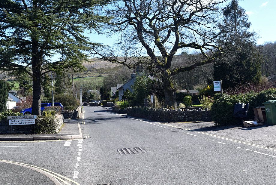 |
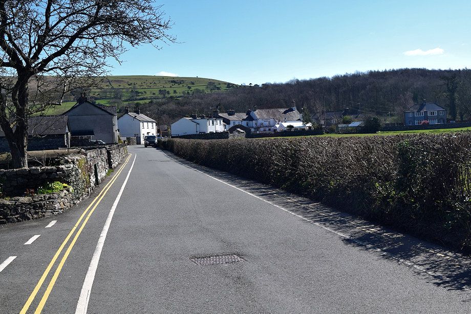
| Continue on from Town End to leave the village by Haggs Lane |
 |
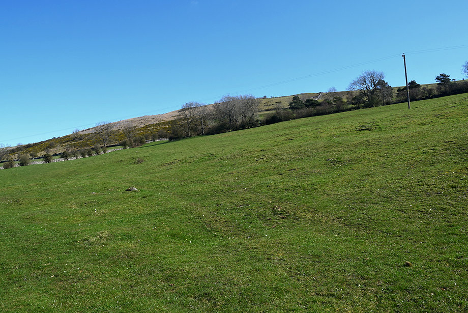
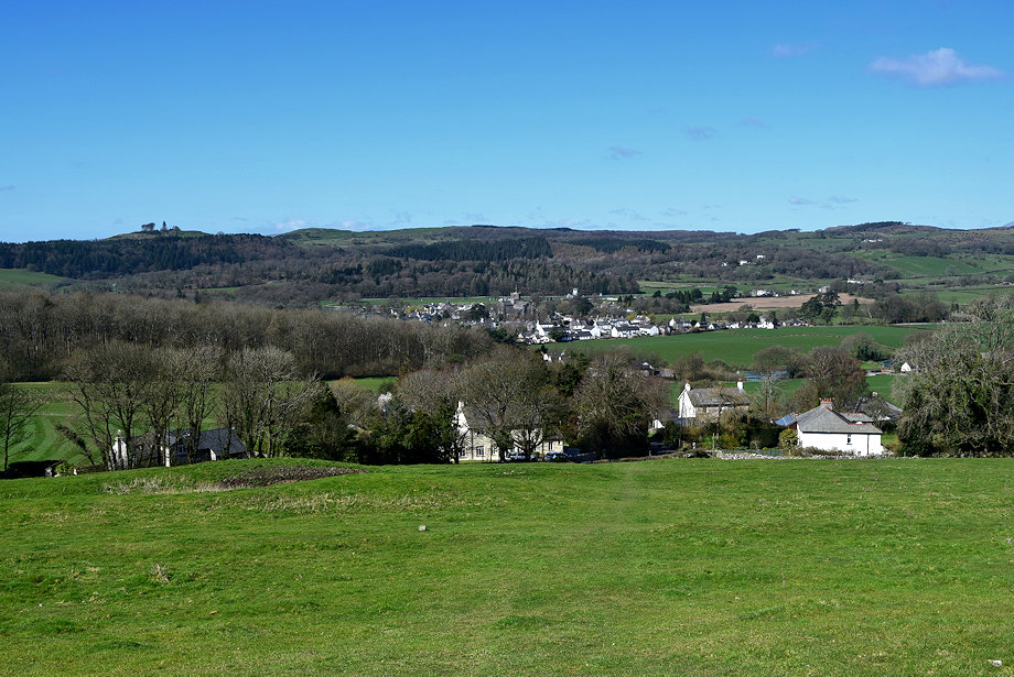
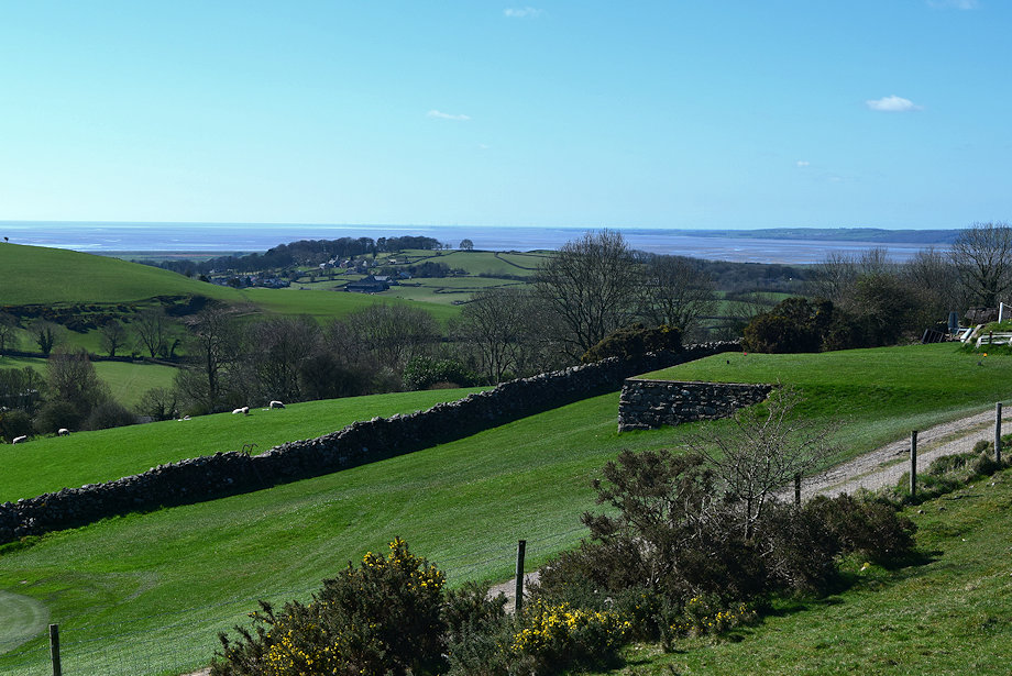
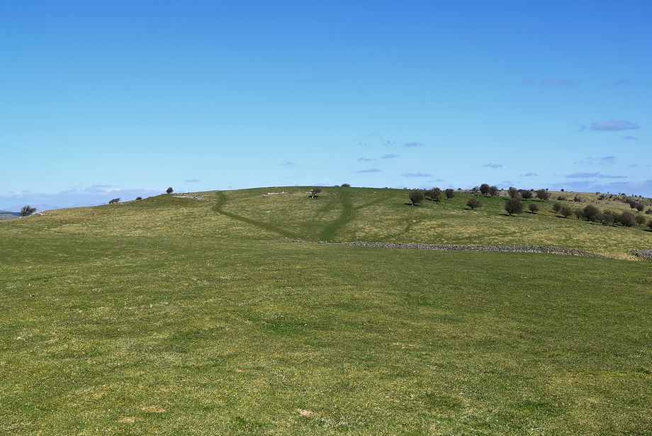
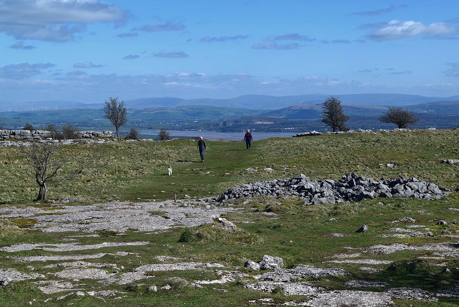
| Fell End on Hampsfell from Haggs Lane |
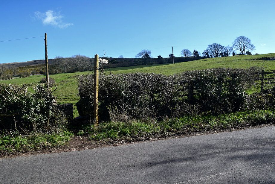 |
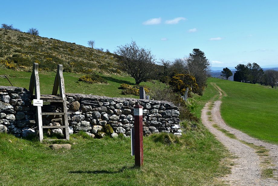
| Just under half a mile from Town End a fingerpost indicates the start of a footpath to Grange over Sands |
 |
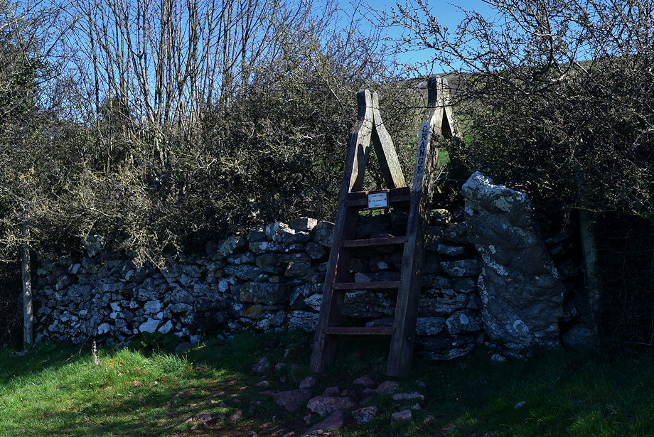
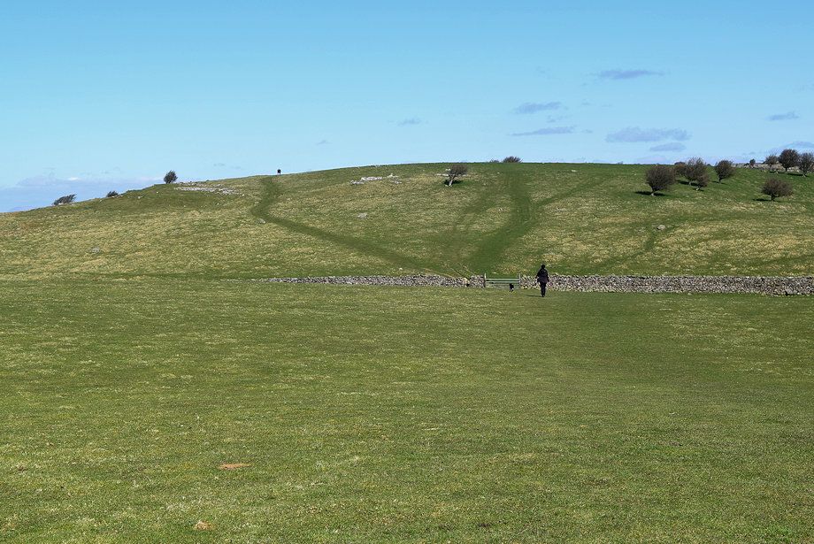
| The footpath rises gently across a pasture field to a ladder stile over its upper wall |
 |
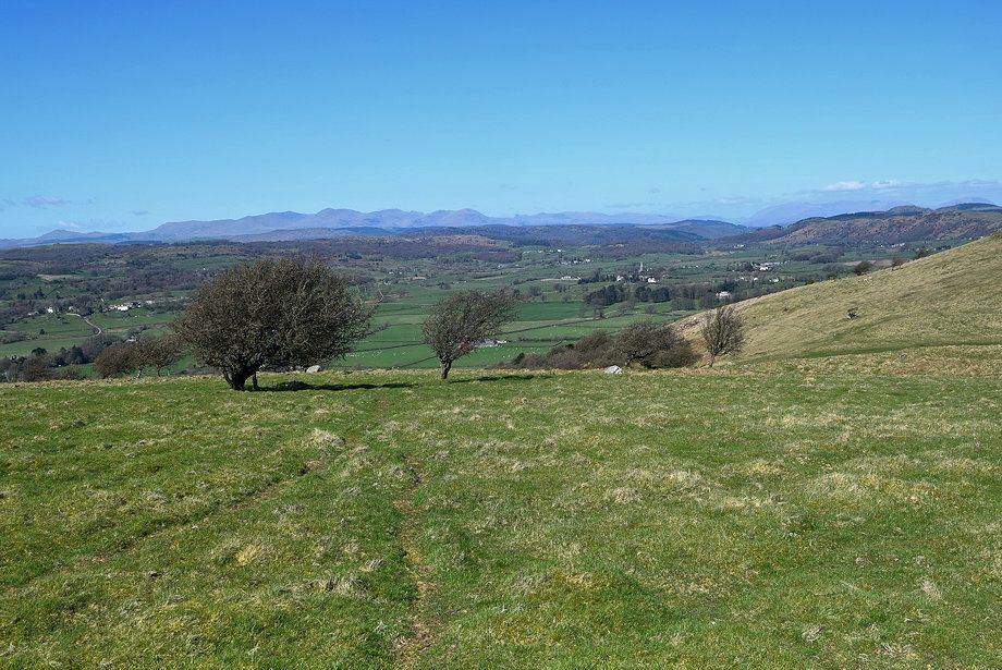
| Looking across the valley the summits of the Coniston Fells appear over the Ellerside ridge |
 |
| The Hampsfell ridge from the footpath |
 |
| The Newton Fell ridge with Helvellyn in the far distance on the left |
 |
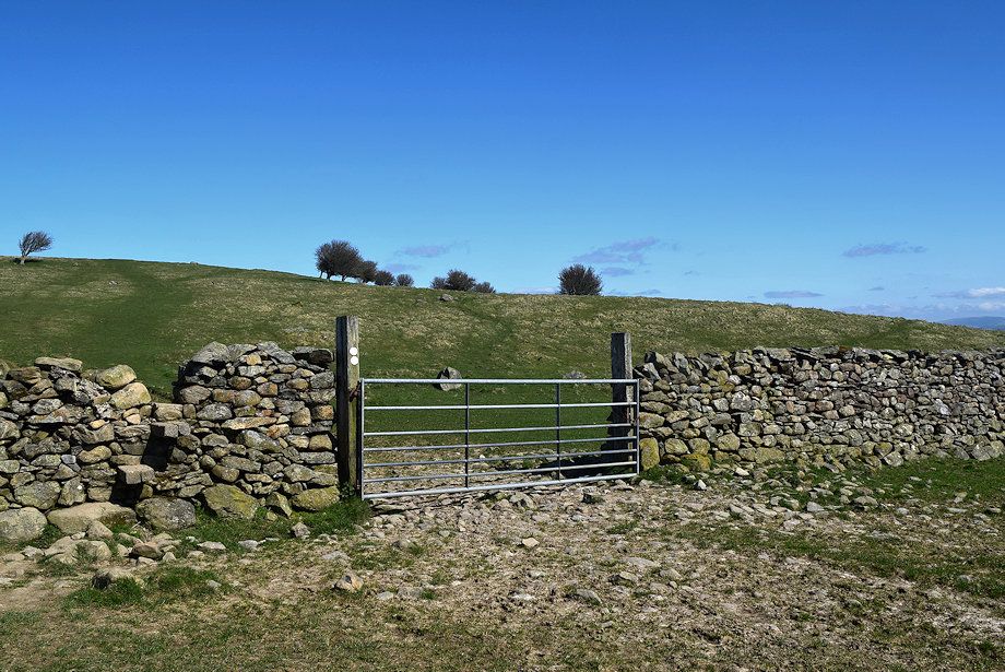
| The ladder stile over the upper wall gives access to the Grange Fell golf course |
 |
| Looking back to Cartmel from the ladder stile |
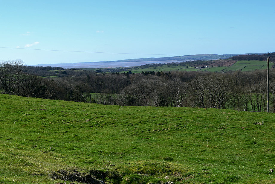 |
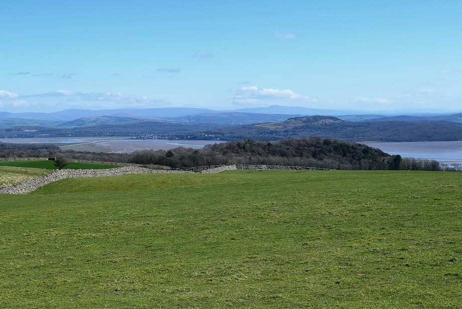
| The Furness Peninsula across the Leven Estuary from the ladder stile |
 |
| A line of waymarker posts indicate the Right of Way across the golf course |
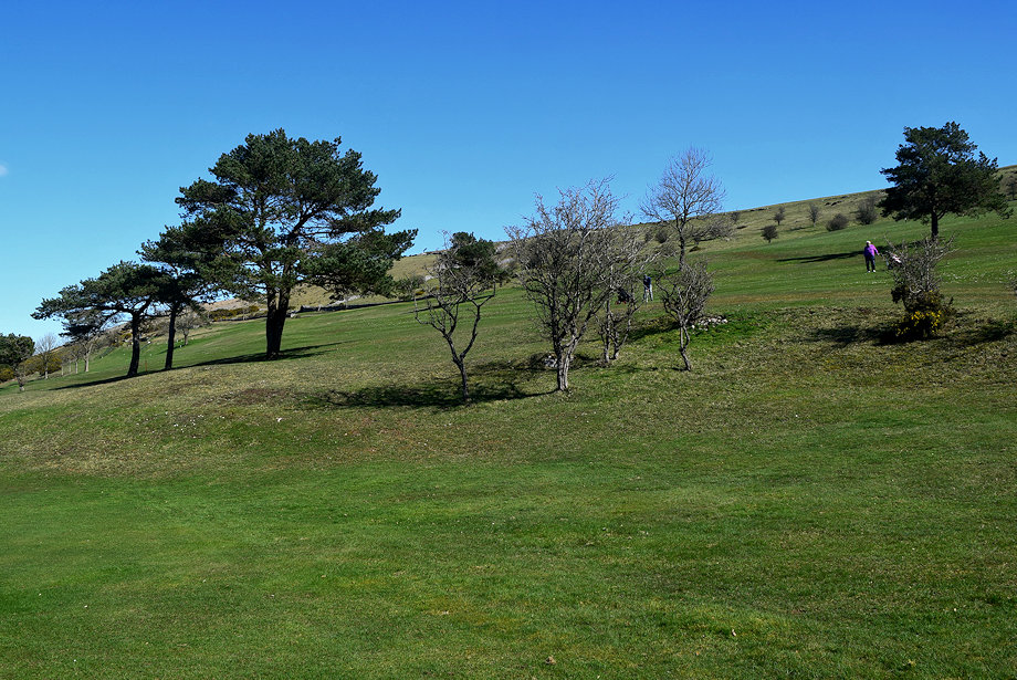 |
| The Right of Way crosses the golf course between the fairways - it's polite to stand still and wait if a player is about to take a shot! |
 |
| The Right of Way through the golf course |
 |
| Looking back from the Right of Way with one of waymarker posts to the right |
 |
| Mount Barnard across the Cartmel Valley |
 |
| The Coniston Fells with a glimpse of the Langdale Pikes to the right |
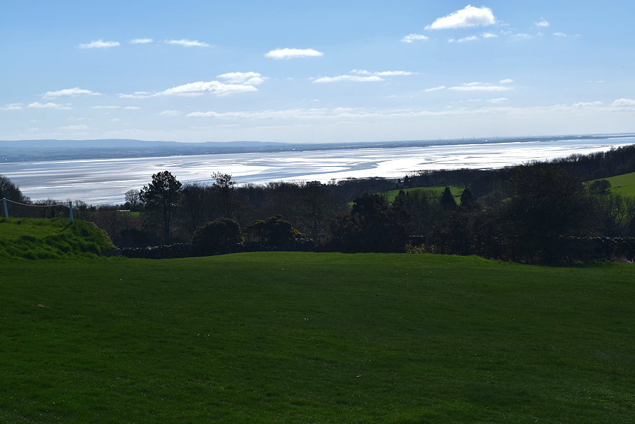 |
| Morecambe Bay from the golf course |
 |
| Exit the golf course by another ladder stile |
 |
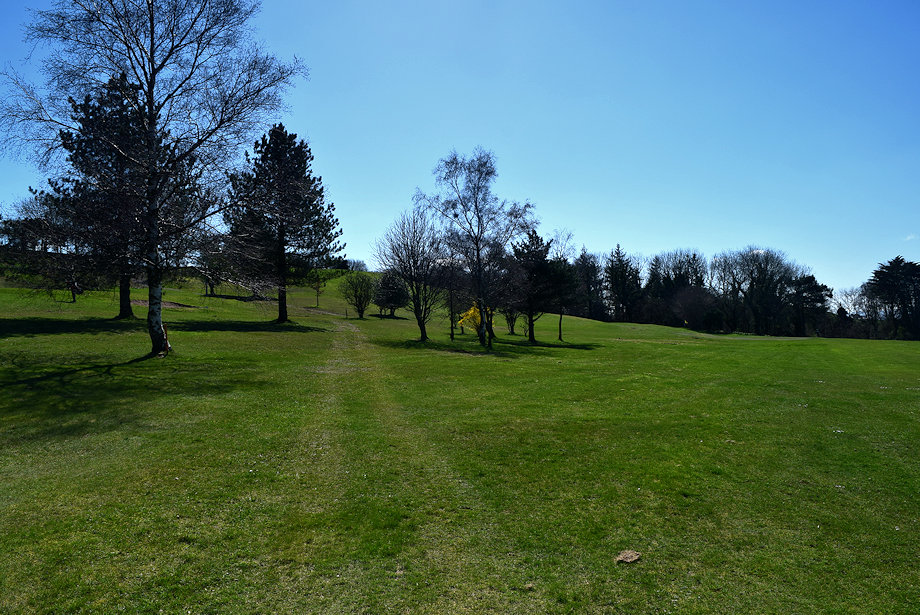
| The footpath to Grange over Sands continues above the golf course's boundary fence |
 |
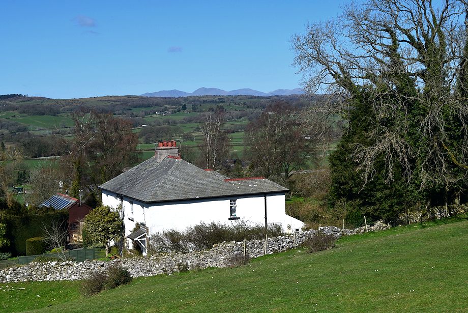
| Looking over towards Boarbank above Allithwaite |
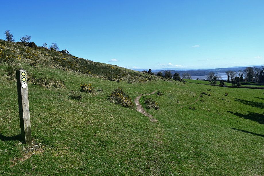 |
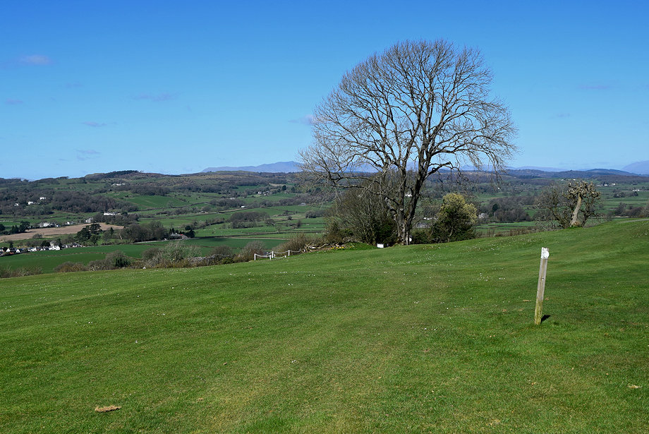
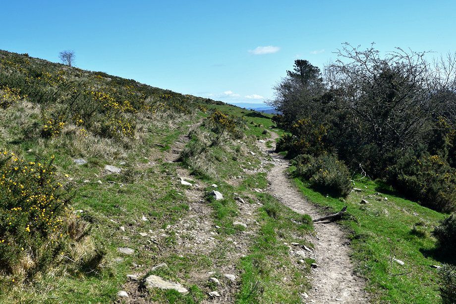
| Leave the Grange over Sands path where it begins to descend beyond a waymark post and turn back acutely left onto a faint path which makes a rising traverse across the steep flank of the fellside |
 |
| Mount Barnard across the Cartmel Valley |
 |
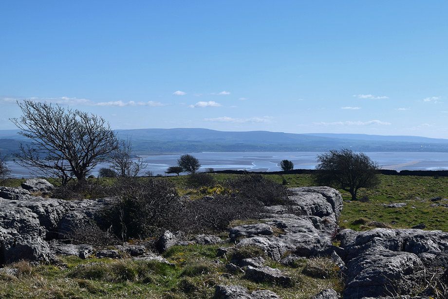
| Looking back across Morcambe Bay to the Forest of Bowland hills |
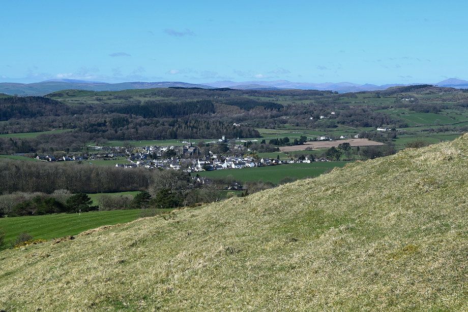 |
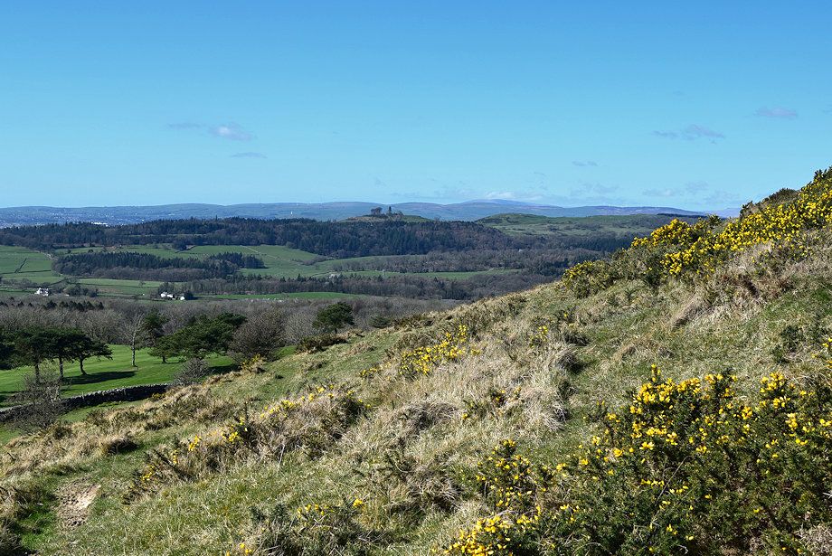
| Looking down on Cartmel from the climb to Fell End |
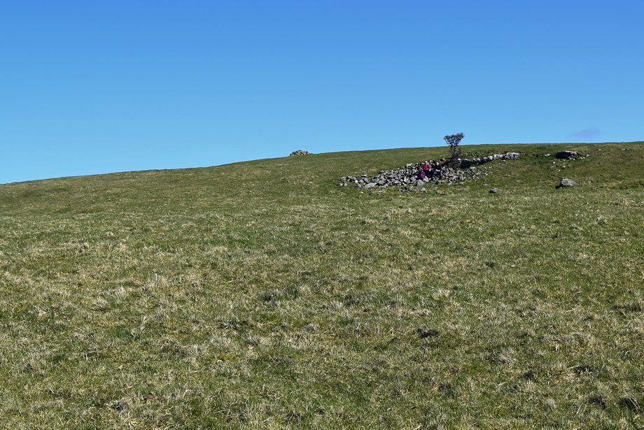 |
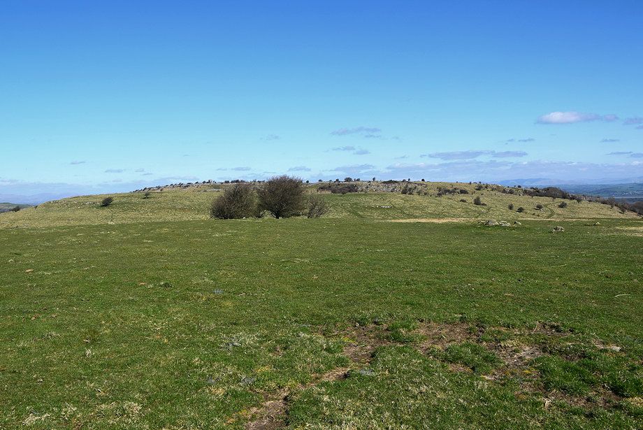
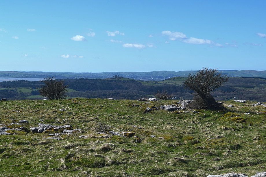
| The cairn marking the summit of Fell End comes into view |
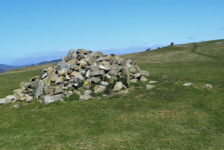 |
| The cairn on Fell End |
 |
| Arnside Knott over the Kent Estuary with Whernside and Ingleborough on the horizon from the summit of Fell End |
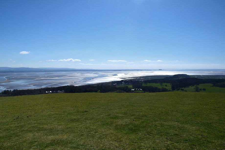 |
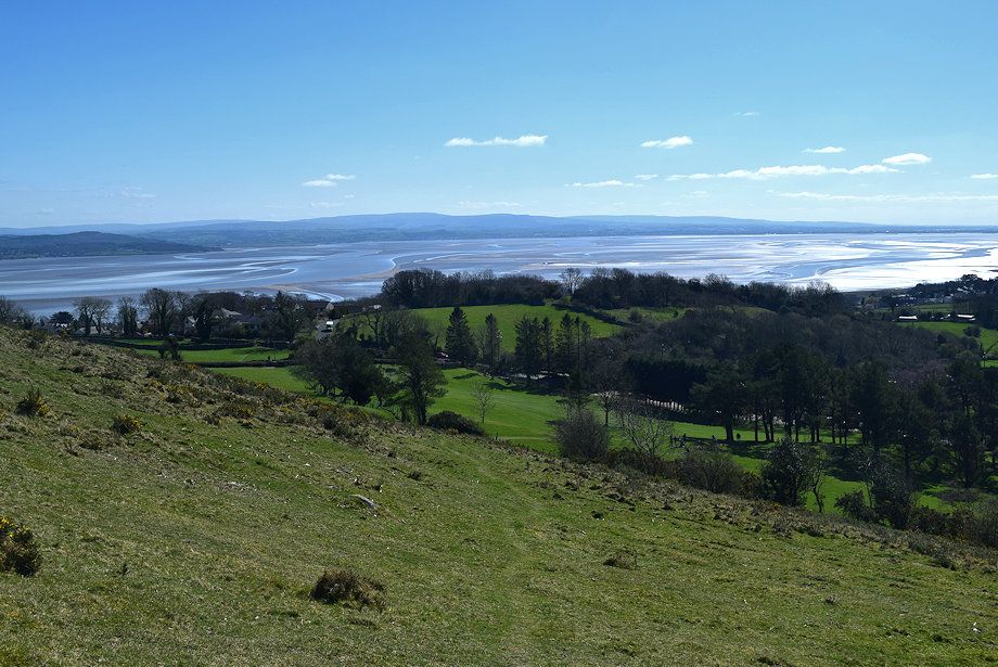
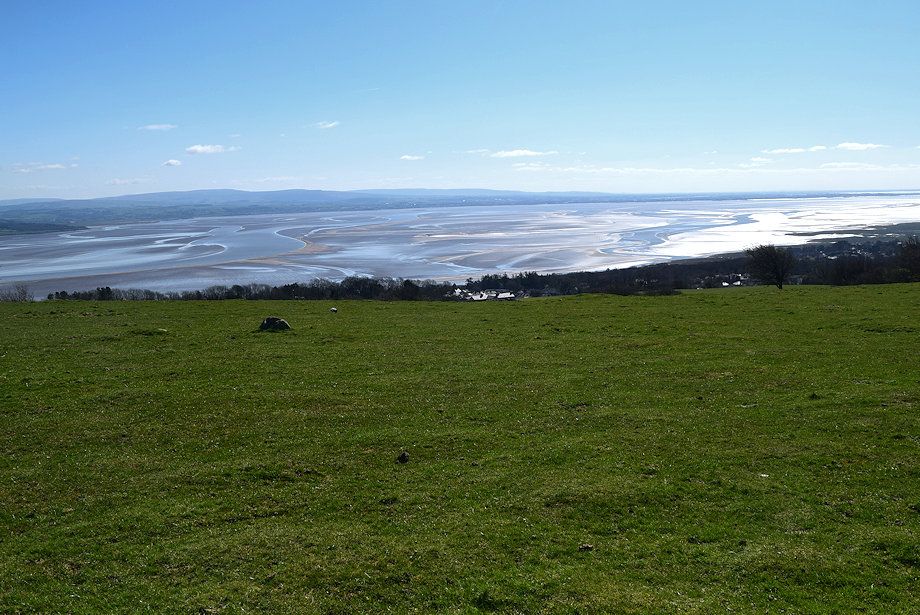
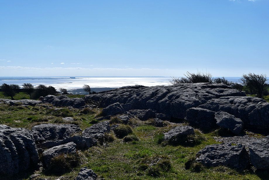
| Morecambe Bay from the summit of Fell End |
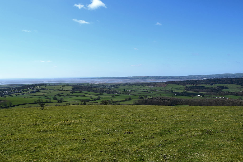 |
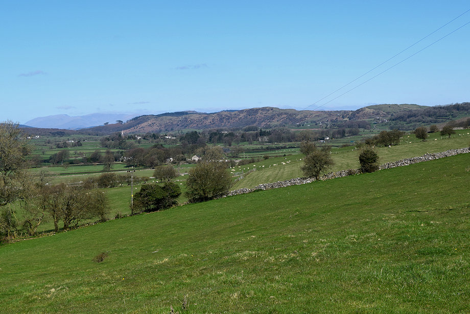
| The lower part of the Cartmel Valley from the summit of Fell End |
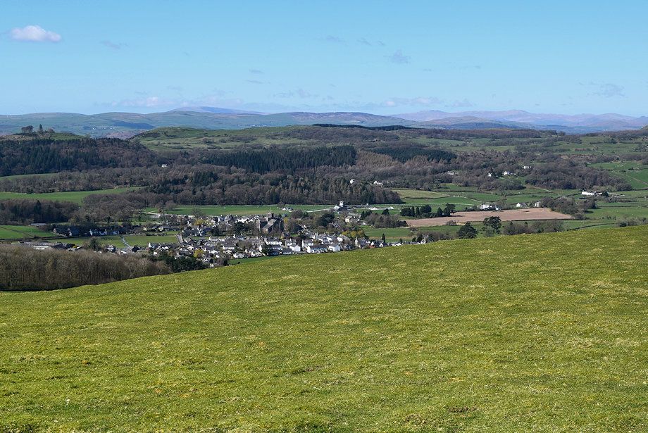 |
| Cartmel from the summit of Fell End |
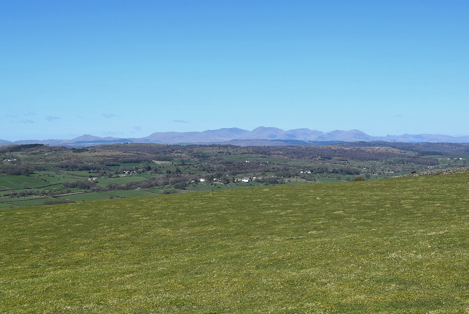 |
| The Coniston Fells and the Langdale Pikes from the summit of Fell End |
 |
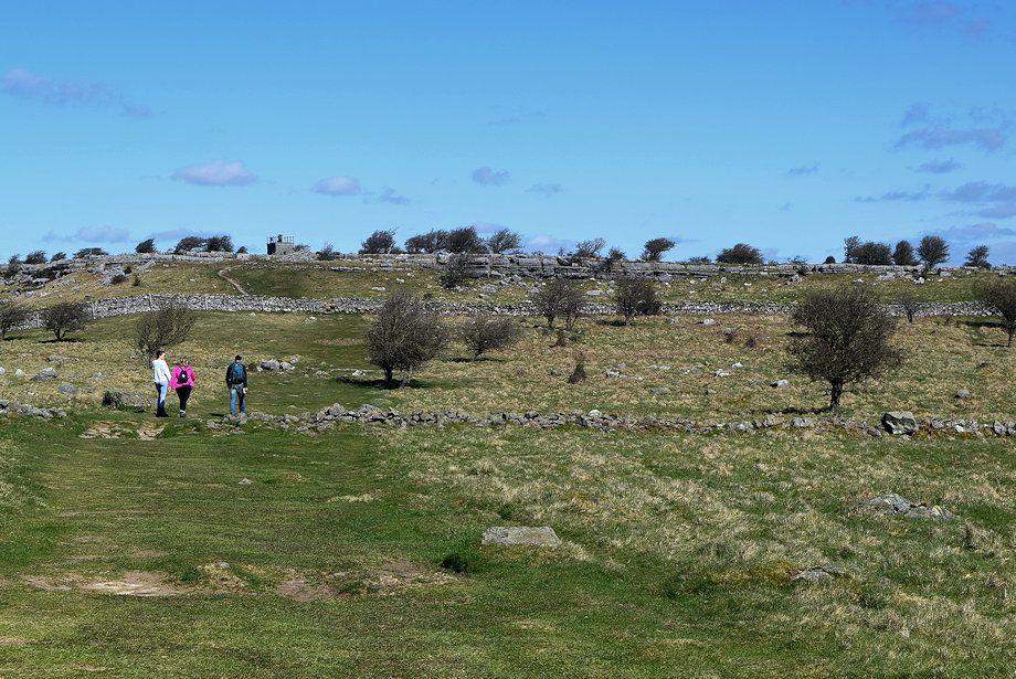
| The way ahead from the summit of Fell End is merely a simple walk over the gentle undulating ridge towards the summit of Hampsfell |
 |
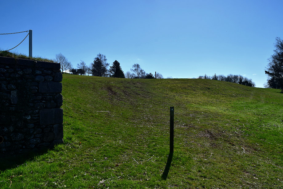
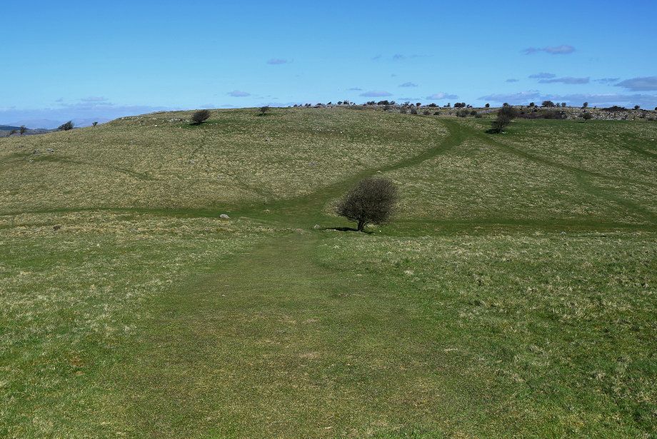
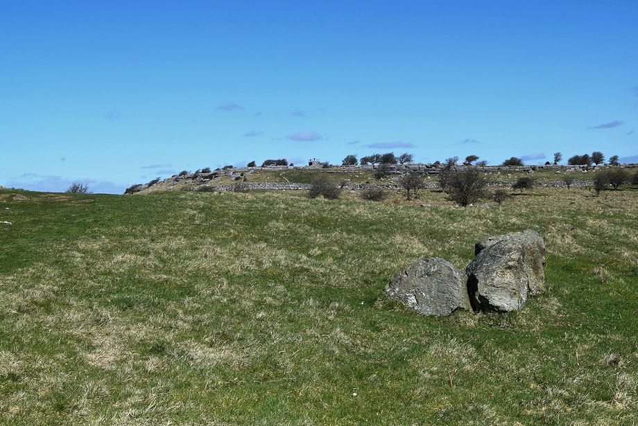
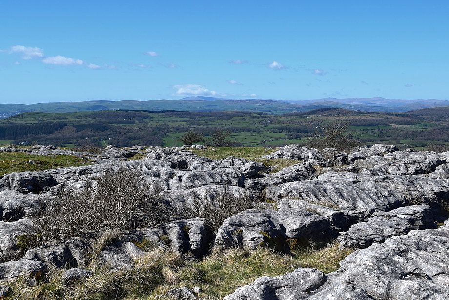
| The path dips to a shallow depression and a cross-ridge wall before rising again to an unnamed top which has a spot height of 203m. It doesn't matter which path is taken beyond the wall, they both meet up again at the next depression |
 |
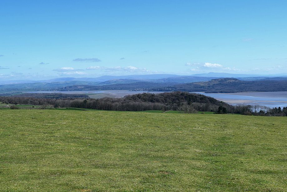
| Looking over to the Kent Estuary |
 |
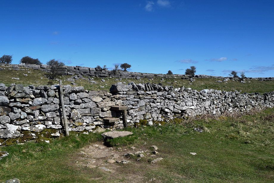
| A step stile enables you to cross the wall although the gate is quite often left open by the farmer when cattle or sheep are grazing on the fell |
 |
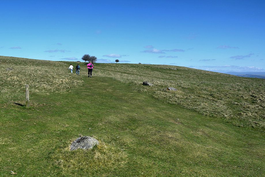
| Looking back to Moecambe Bay from the gentle climb to Point 203 |
 |
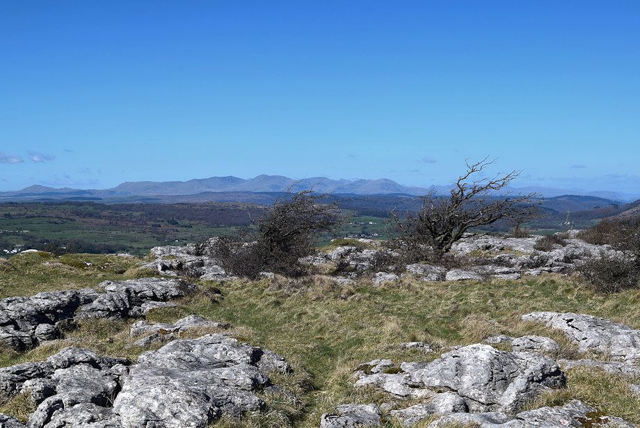
| From the top of Point 203 the summit of Hampsfell comes into view |
 |
| Heysham power station across Morecambe Bay from Point 203 |
 |
| The Coniston Fells and the Langdale Pikes from Point 203 |
 |
| Arnside Knott from the descent of Point 203 |
 |
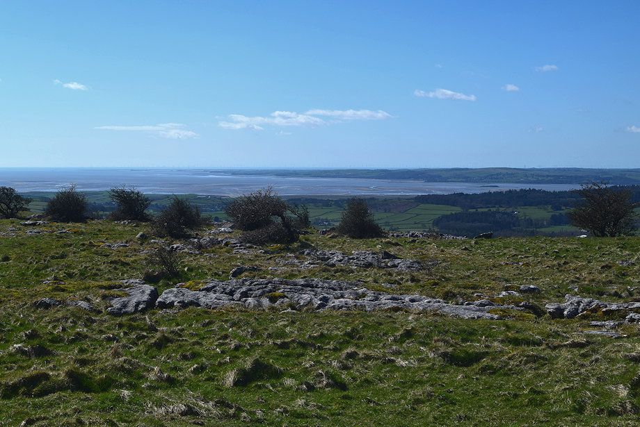
| The upper part of the Cartmel Valley from the descent of Point 203 |
 |
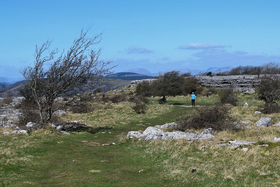
| The wide path approaches the next depression which carries the Cistercian Way, a long distance path between Grange over Sands and Roa Island |
 |
| Cross the Cistercian Way and continue on the waymarked path to the summit of Hampsfell |
 |
| After a short rise from the depression the summit of Hampsfell once again comes into view |
 |
| A short section of level walking leads to another cross-ridge wall .......... |
 |
| .......... which is crossed by step stile |
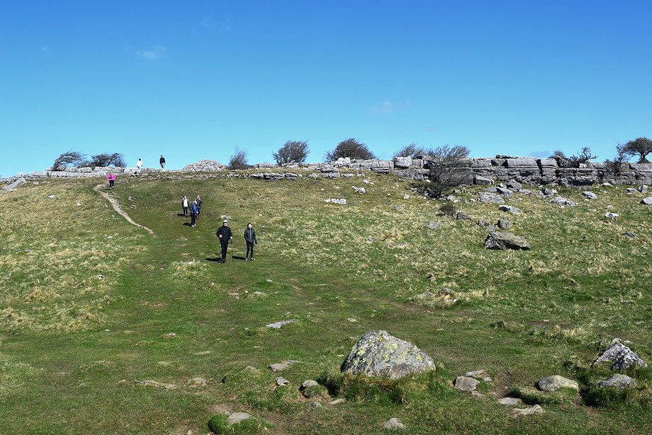 |
| All that remains is a short climb to a large cairn on the edge of the limestone escarpment |
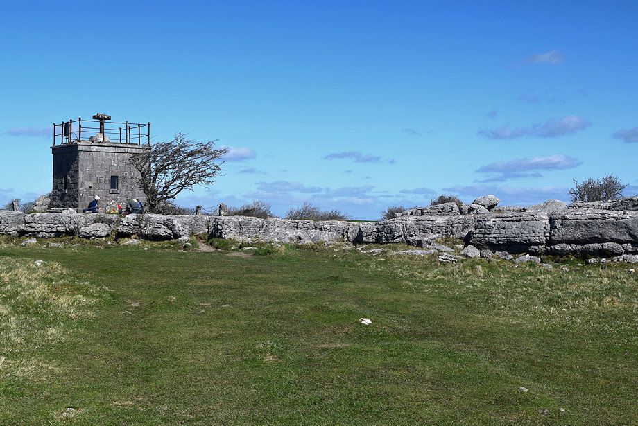 |
| Approaching the hospice on the summit of Hampsfell |
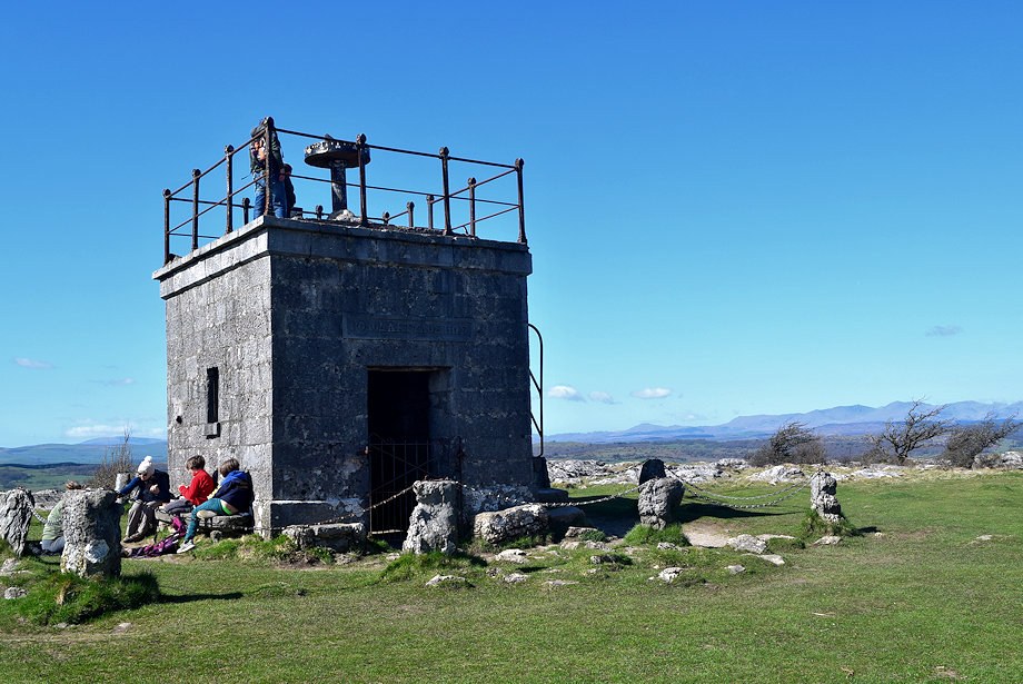 |
| The Reverend Thomas Remington who was vicar of Cartmel between 1835-1854 made a habit of walking to the top of Hampsfell every morning before breakfast and in thanksgiving for all the beauty he had seen, he had the hospice built as a shelter for travellers. The interior is furnished with stone seats and a fireplace, the roof serves as a platform for a simple alidade viewfinder |
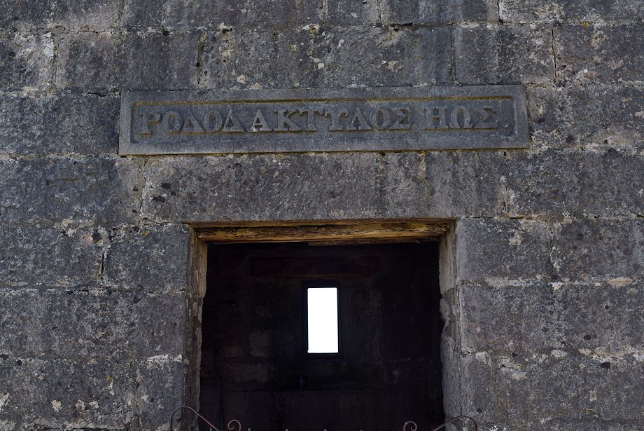 |
| The ancient greek inscription above the door translates as 'rosy-fingered dawn' a favoured epithet used by Homer to describe Eos the Titaness goddess of dawn. Eos was almost always depicted as having rosy fingers or rosy forearms when she opened the gates of heaven to allow the sun to rise. The inscription, on the east wall, faces the rising sun |
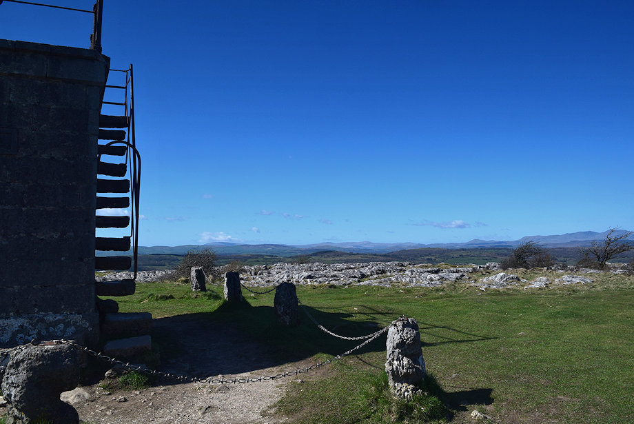 |
| The north wall has built in stone steps to access the viewing platform |
 |
| The Kent Estuary from the summit of Hampsfell |
 |
| The Forest of Bowland hills from the summit of Hampsfell |
 |
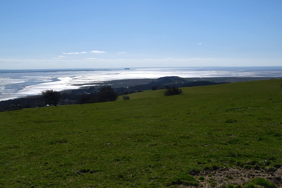
| Morecambe Bay from the summit of Hampsfell |
 |
| The Furness Peninsula from the summit of Hampsfell |
 |
| Mount Barnard from the summit of Hampsfell |
 |
| Black Combe in the distance over the Furness hills |
 |
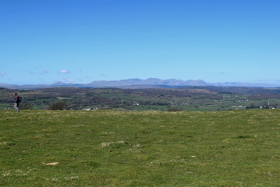
| The Coniston Fells from the summit of Hampsfell |
 |
| Looking north to the distant Red Screes, High Street and the Ill Bell ridge |
