| Grike - Route One |
| Start - Scaly Moss NY 059 139 | Distance - 2 miles | Ascent - 860 feet | Time 1 hour : 10 minutes |
| This is a bit of a nostalgic walk for me, I was born and grew up at the foot of these Ennerdale and Kinniside fells and walked them long before Wainwright wrote his guide for the area. Grike is known locally as Stone Man, so named because of the huge tumulus on its summit which is visible from miles around. It was good to return here after a long absence and see all the changes. |
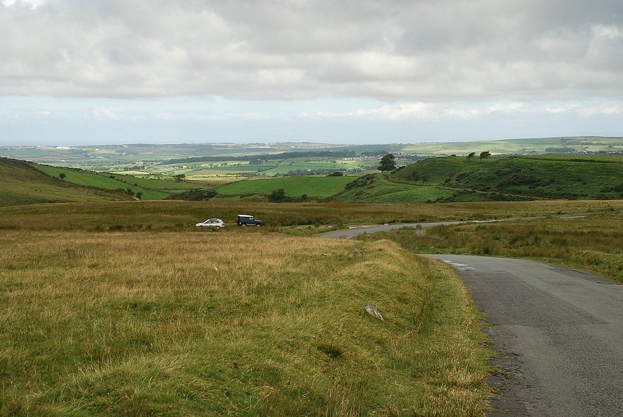 |
| Scaly Moss on the Coldfell Road is the starting point for this walk, there are a number of pull off spaces in which to park alongside the road |
 |
| The start of the old mine road which traverses across the slopes of Blakeley Raise to a gate in the forest fence. The road continues on for almost three miles to the disused iron ore mine near Red Beck on the far side of Crag Fell |
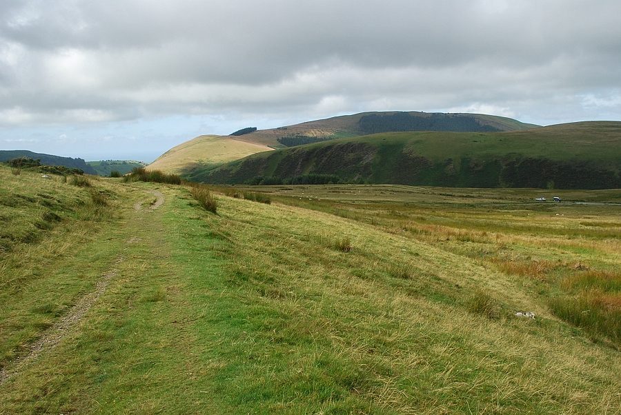 |
| Looking back to Dent and Flat Fell, the parking area on Scaly Moss on the right |
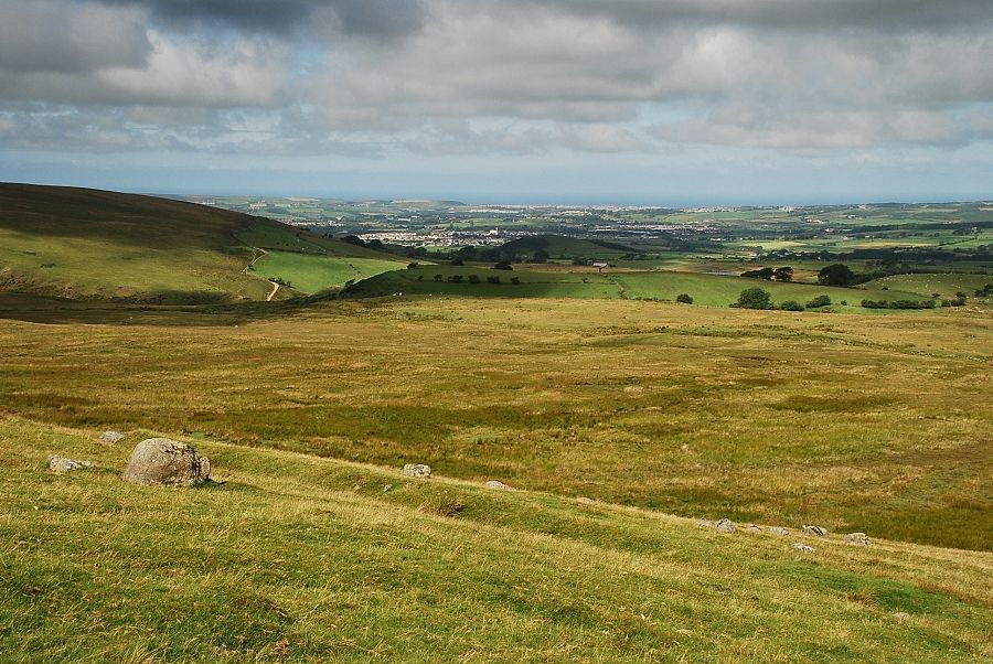 |
| Looking over Blakeley Moss to the West Cumbria coast |
 |
| The handgate in the forestry fence |
 |
| Dent and Flat Fell from the forestry gate |
 |
| The first sighting of Grike, its summit is just visible above the trees on the slopes of Heckbarley |
|
|
| Looking over to Blake Fell, the highest of the Loweswater group of fells |
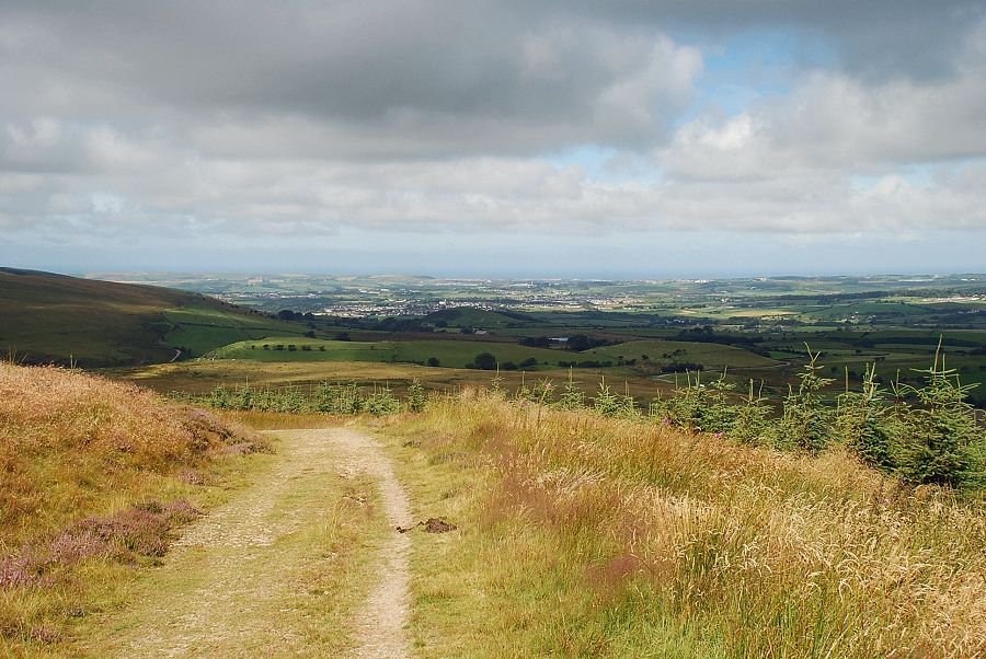 |
| Looking back towards Cleator Moor and the West Cumbria coast |
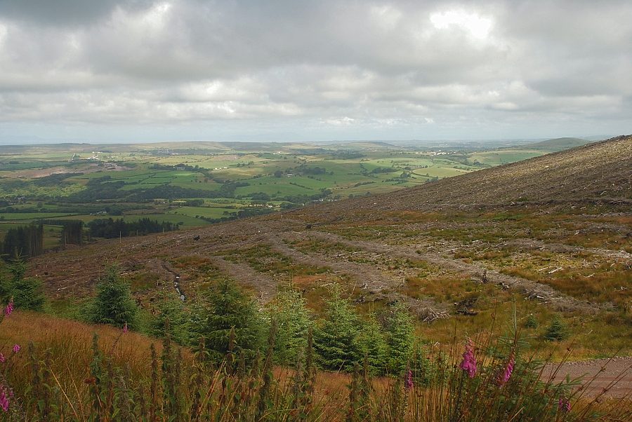 |
| At the time of this walk most of the trees on the slopes of Heckbarley and Grike were being harvested and the forest roads were busy with lorries |
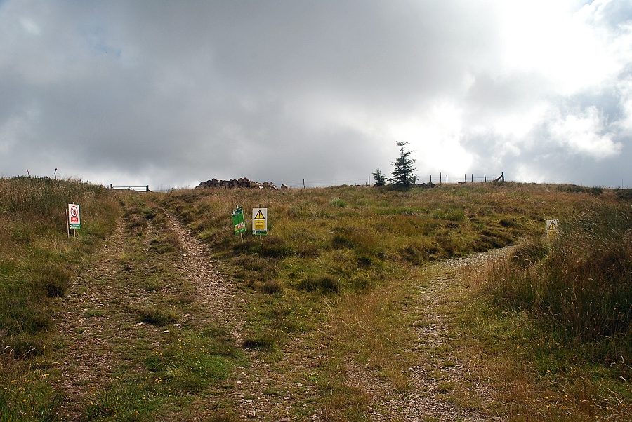 |
| Warning notices on Heckbarley as we approach the current area of tree felling operations |
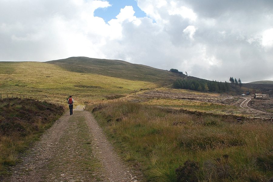 |
| The old mine road skirts the edge of the forest so was largely unaffected by the current operations |
 |
| Looking over towards Lank Rigg from the old mine road |
 |
| Grike from the old mine road |
 |
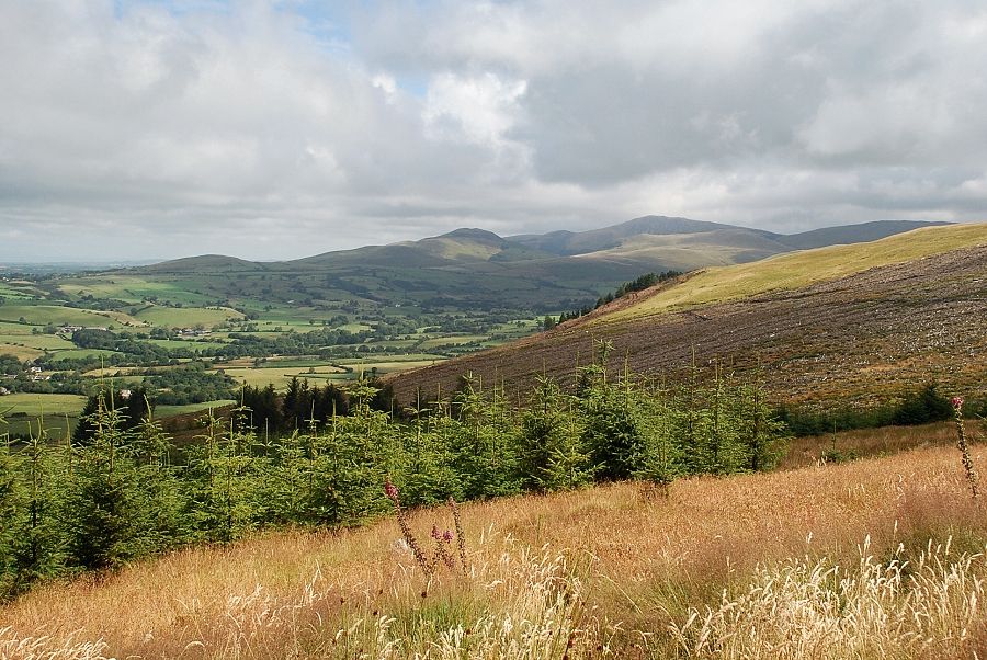
| The valley of the River Calder from the old mine road |
 |
| Looking back along the old mine road, Blakeley Raise and Dent on the left |
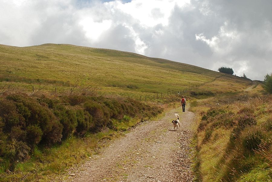 |
| Years ago it was usual to ascend Grike from the highest point of the road beyond the trees on the horizon, but "new" stiles have been provided to access the south-west slopes well below that point |
 |
| Another transporter arrives to be loaded up with logs |
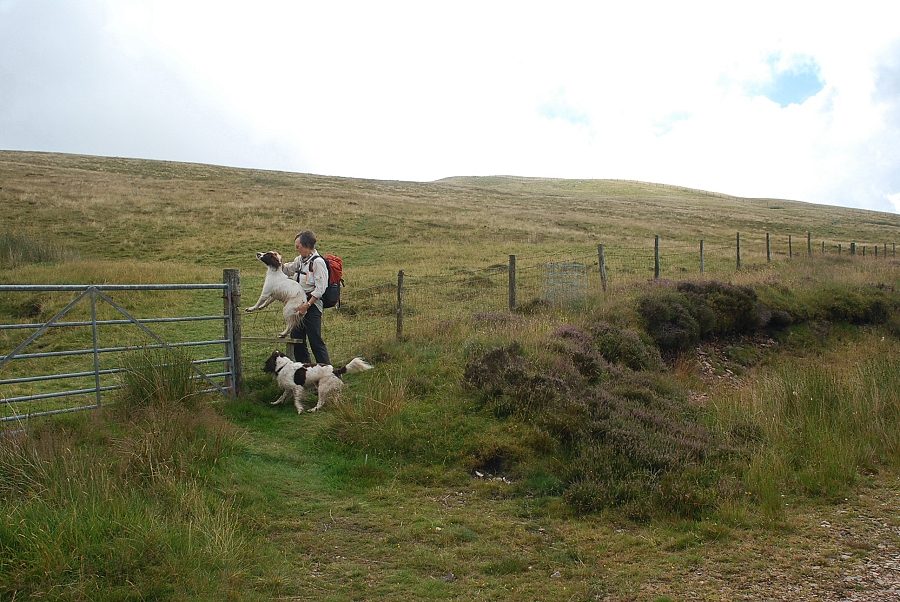 |
| Leaving the old mine road for the south-west slopes of Grike. Jasper was a bit wary of the narrow stile and wire fence but the gate was locked |
 |
| The climb up the south-west slope |
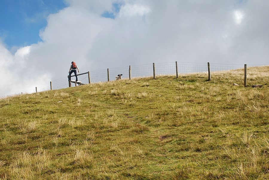 |
| Another stile gives access to the upper slopes |
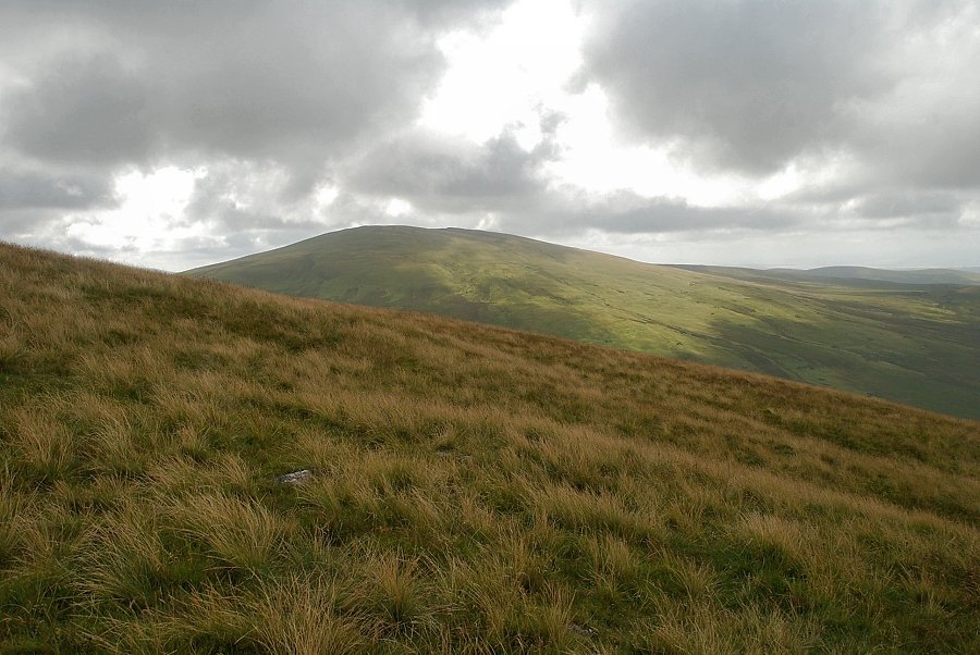 |
| Looking over to Lank Rigg from the stile |
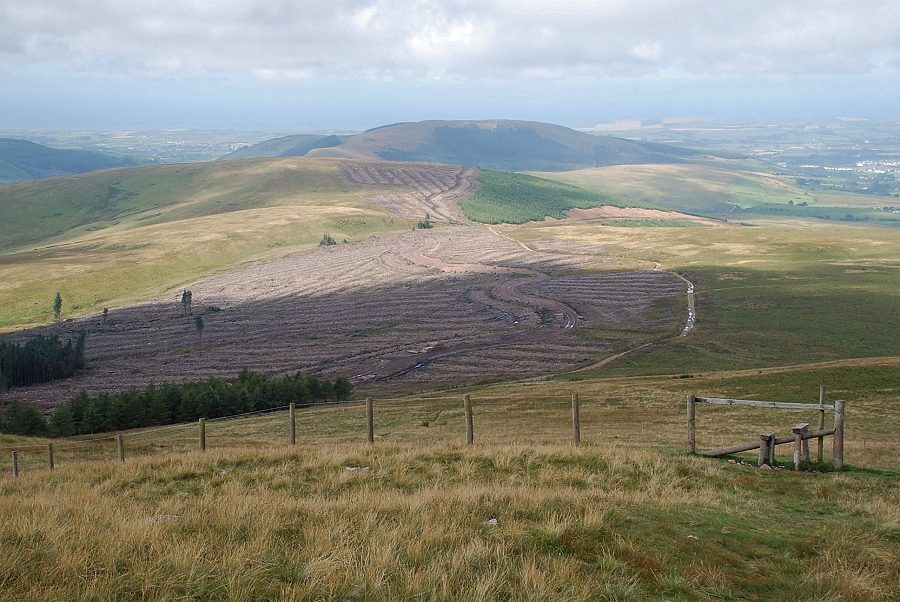 |
| Looking back to the felled area on Heckbarley and Blakeley Raise |
 |
| The summit of Grike is only a short distance above the stile |
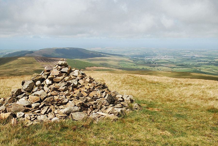 |
| The summit cairn on Grike |
 |
| The ancient tumulus, now hollowed out to form a windshelter |
 |
| Blake Fell with Gavel Fell on the right |
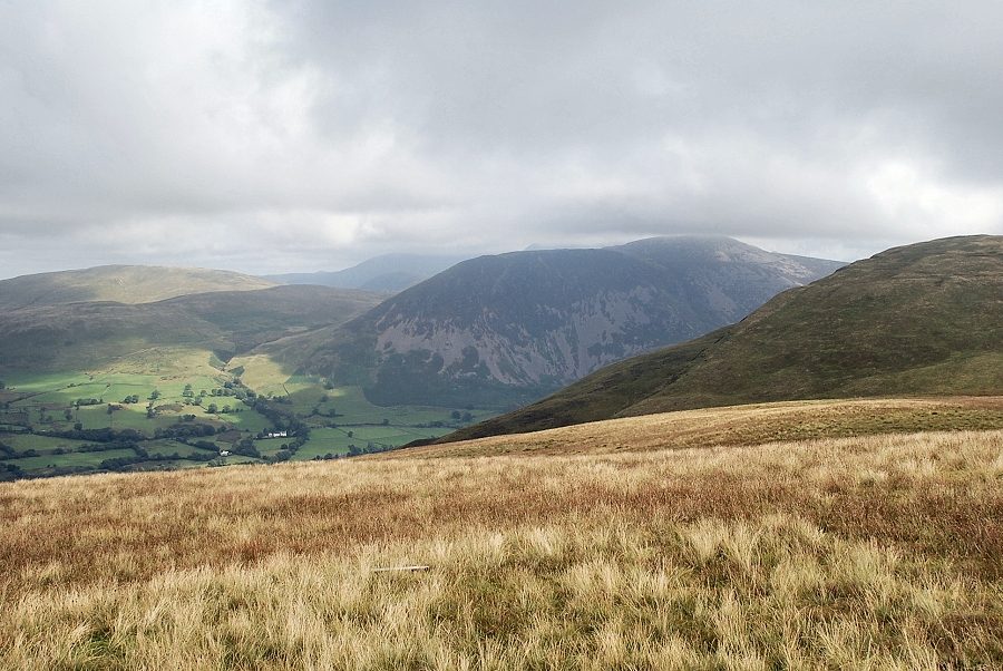 |
| Herdus and Great Borne, its top just clear of the cloud, with a sunlit Gavel Fell on the left |
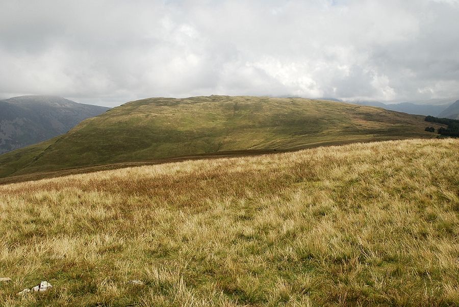 |
| Crag Fell along the connecting ridge |
 |
| Looking east, most of the higher fells at the head of the Ennerdale Valley are covered in cloud |
 |
| Looking south to Lank Rigg |
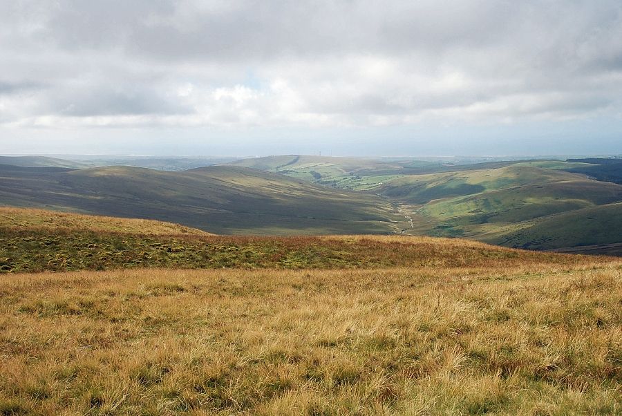 |
| Looking south-west to the valley of the River Calder |
|
