
| Great Rigg - Route One |
| Start - Grasmere NY 336 076 | Distance - 2.5 miles | Ascent - 2,300 feet | Time - 2 hours : 10 minutes |
 |
| The Swan Hotel in Grasmere. The walk starts along the lane to the south of the hotel |
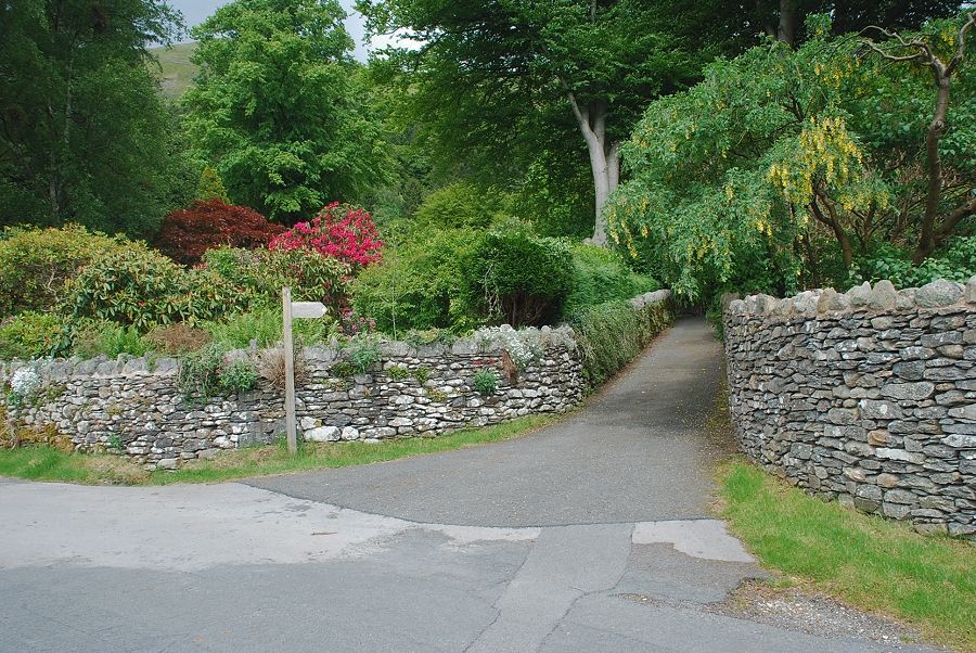 |
| After a few hundred yards a narrow lane turns off to the right, signposted Greenhead Gill and Alcock Tarn |
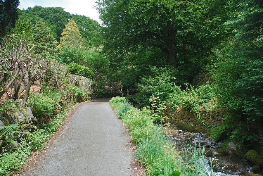 |
| The lane rises quite steeply alongside the stream to a gate which gives access to the fellside |
 |
| The usual way to access the middle reaches of Greenhead Gill is to cross the footbridge and follow the path to Alcock Tarn, where the path turns steeply above the woods leave it for an old mine track which continues straight ahead into the gill |
 |
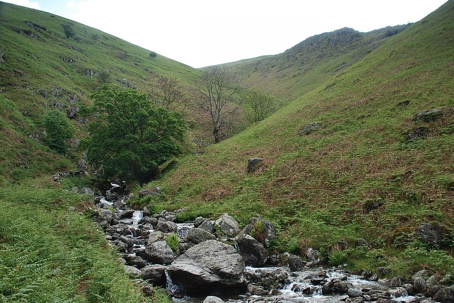
| However, this route follows a green path on the left bank of the stream in order to explore the waterfalls and mine workings in the lower part of the gill |
 |
| Looking back from the start of the path up the gill |
 |
| The Thirlmere aqueduct. The locked gates and notices are meant discourage people from crossing it; they seemed to have worked in this case! |
 |
| Continuing on past the viaduct towards an old mine adit that lies just beyond those trees. A steep crag barred further progress on this side of the stream as I approached the adit so I crossed to the other bank |
 |
| The mine adit, of which more later |
 |
| Above the adit is the first of a series of small waterfalls |
 |
| Looking back to Helm Crag from above the first waterfall |
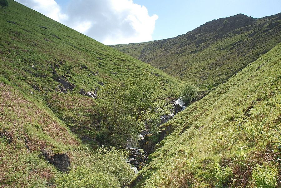 |
| Looking up the gill to the second waterfall above several smaller cascades |
 |
| Looking up to the lowest rock outcrops of Brackenwife Knotts from the above the first waterfall |
 |
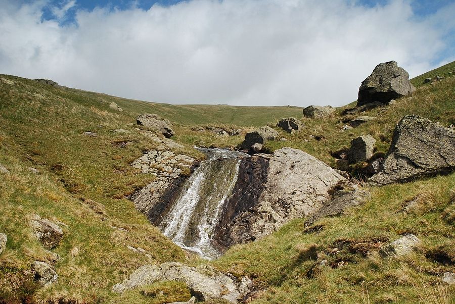
| The second waterfall which issues from a small reservoir |
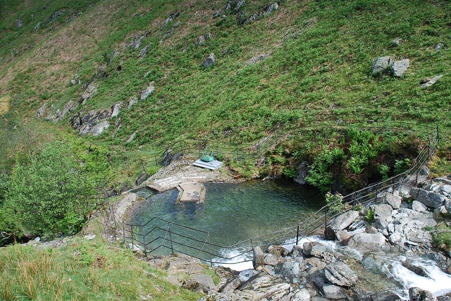 |
| Looking down on the reservoir which AW described as "an artificial pool of crystal-clear water" in his diagram of this ascent |
 |
| Above the reservoir the gill begins a gradual turn to the north. The course of the old mine road can be seen on the right descending to meet the stream |
 |
| Looking back along the lower part of the gill, Helm Crag and Gibson Knott flanked by High Raise and Ullscarf |
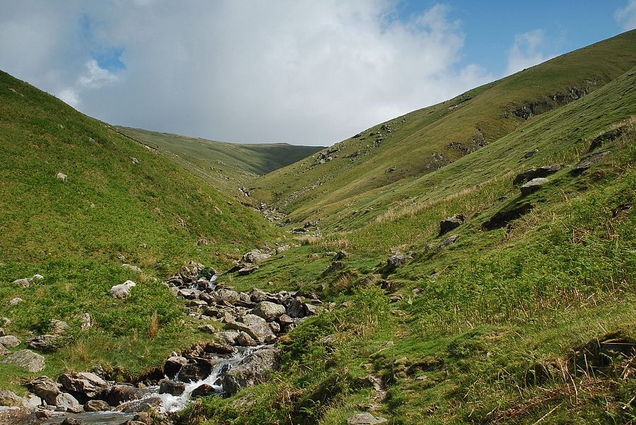 |
| Ascending the middle part of the gill |
 |
| Looking back from this point you can see the old mine road contouring across the slopes |
 |
|
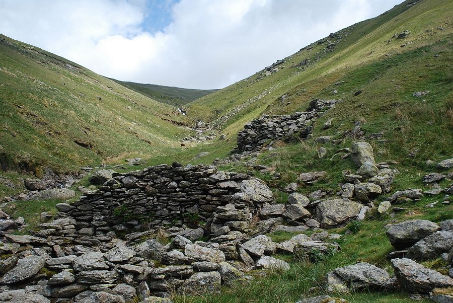
Arrivng at what AW marked as a ruin on his diagram of this ascent. This is the site of the old Grasmere Mine which opened in 1564, one of the earliest Elizabethan mines in the Lake District. The mine workings, now almost completely overgrown and filled up, are on the opposite bank of the stream. The building in the foreground housed a wet stamping mill where the lead ore was crushed after being sorted and hand picked in the building above it. The crude ore was wheeled across a bridge to the sorting house although all traces of the bridge have long since disappeared. The stamping mill was powered by a waterwheel, part of the wall which carried the outer bearing of the wheel can still be seen as can the pits which housed the box buddles where the ore was washed after being crushed. The mine was very productive but the ore lodes were small and the mine closed in 1573. The adit, 150 yards downstream, is the entrance to a crosscut tunnel which was driven up to the mine workings in the hope of finding more reserves of ore |
 |
| A look back down the gill from the site of the old lead mine |
 |
| Above the mine there is another series of small cascades |
 |
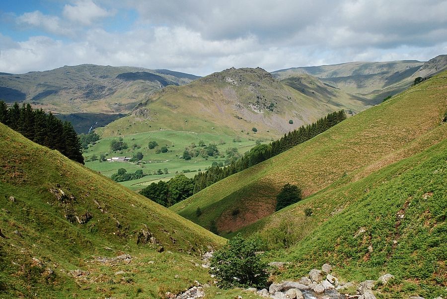
| Looking back from above the cascades part of Grasmere comes into view |
 |
| Higher again a waterslide is passed. The dry weather has somewhat diminished its flow, normally the stream also flows to the right of the rock slab |
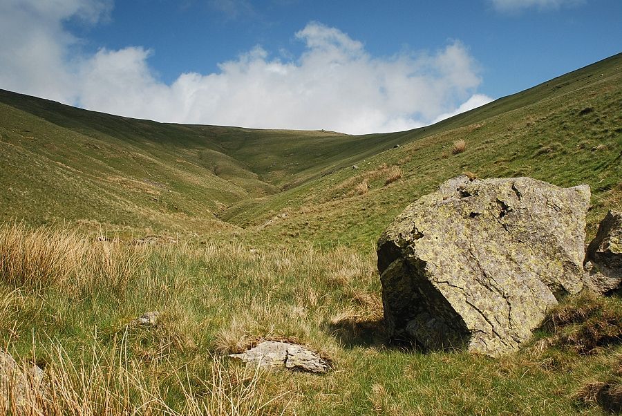 |
| Above the waterslide the the gill opens out towards its head. It's time to leave it now by making a rising traverse to the low point on the horizon |
 |
| Looking back to Grasmere from the climb out of the gill |
 |
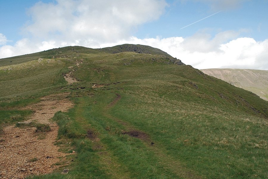
| The summit of Heron Pike from the climb to the ridge line |
 |
| Approaching the ridge line near the col between Great Rigg and Erne Crag on Heron Pike |
 |
| Hart Crag across Rydal Head |
 |
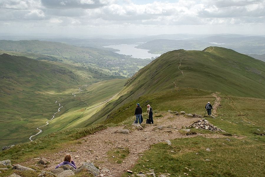
| The way ahead to the summit of Great Rigg on the popular Fairfield Horseshoe path |
 |
| Looking back along the ridge to the top of Erne Crag and Heron Pike from the start of the climb to the summit of Great Rigg |
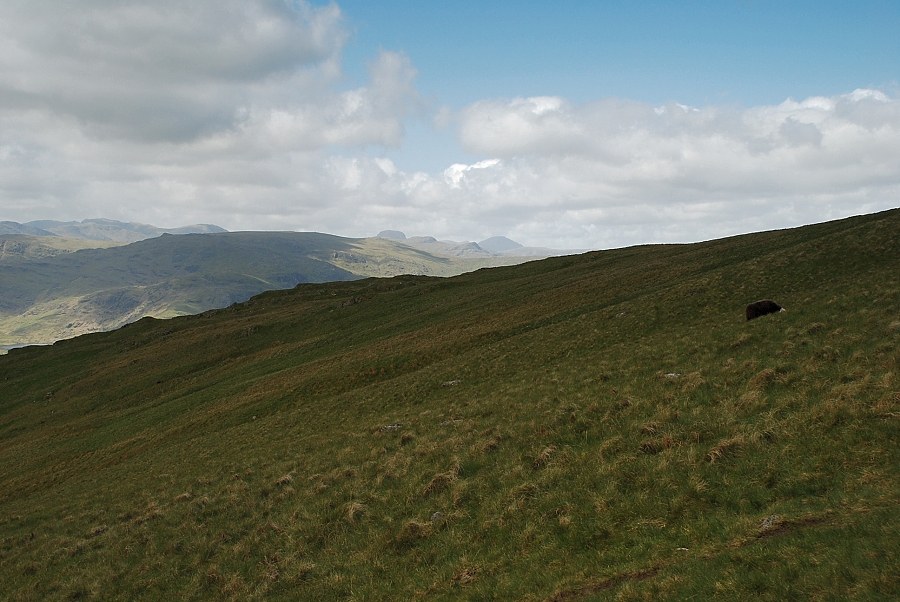 |
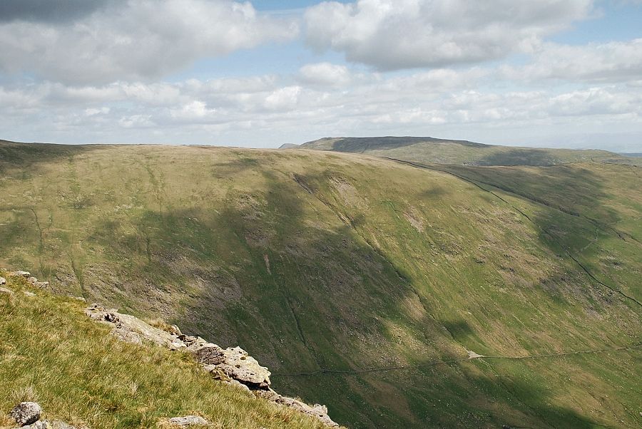
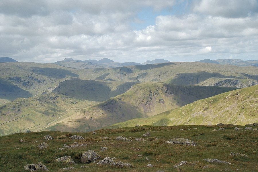
| Looking left across the subsidiary ridge which rises from Seat Arthur to High Raise in the middle distance, flanked by the Scafells on the left with Great Gable, Glaramara and Pillar on the right |
 |
| Looking back to Grasmere with the Coniston fells on the right and Coniston Water on the left |
 |
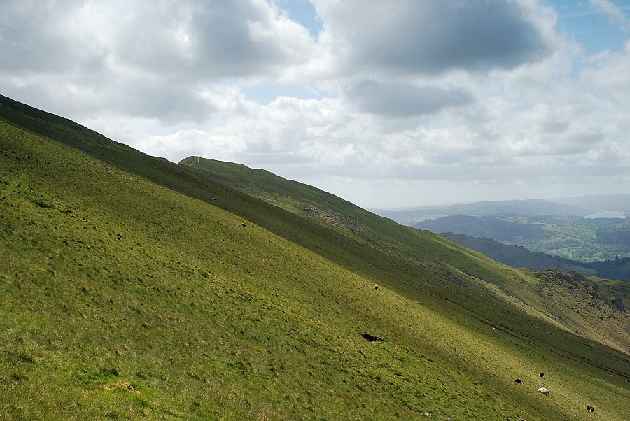
| Looking back along the ridge which becomes much steeper and rougher as it curves around the rim of Stone Cove above the valley of Rydal Beck |
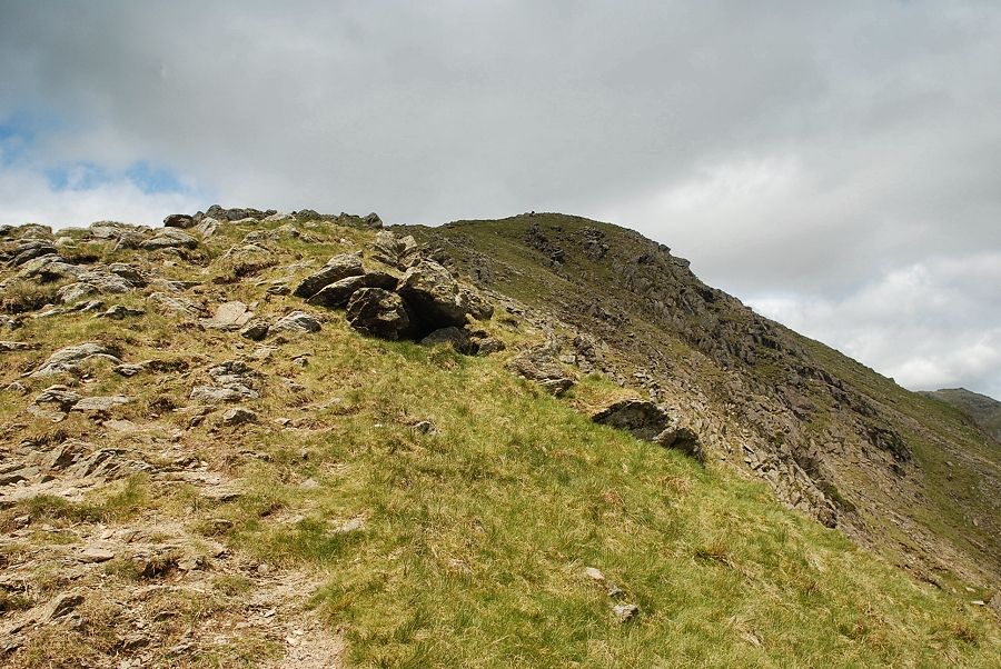 |
| The upper part of the ridge above Stone Cove |
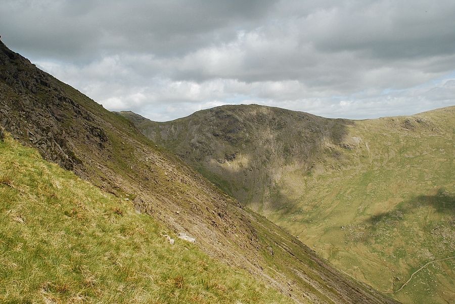 |
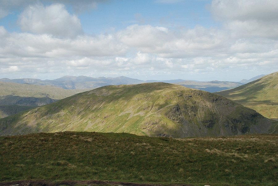
| Scrubby Crag, Link Hause and Hart Crag across Stone Cove |
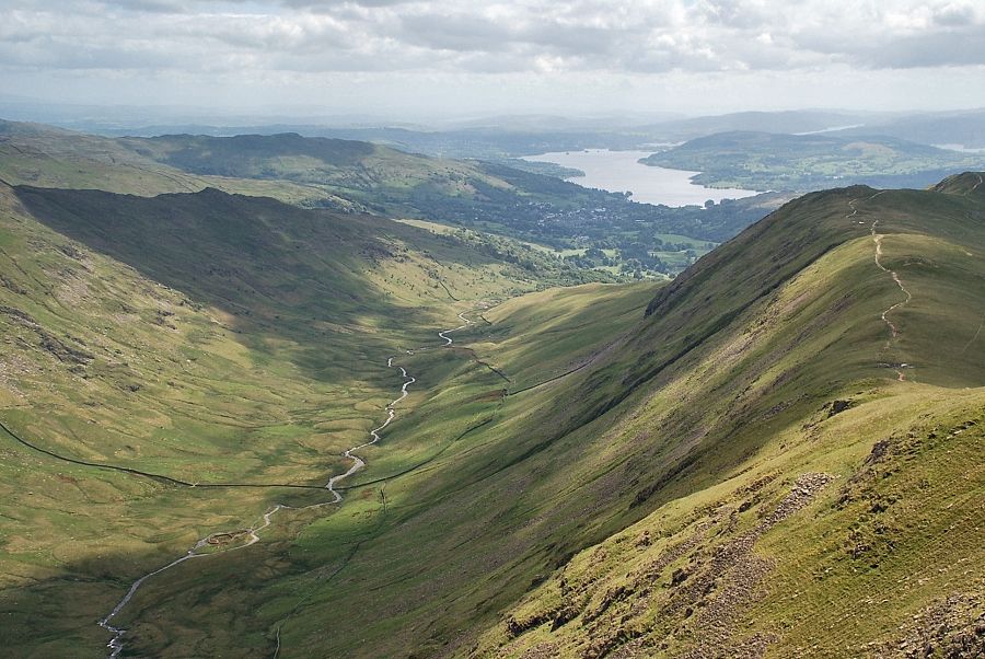 |
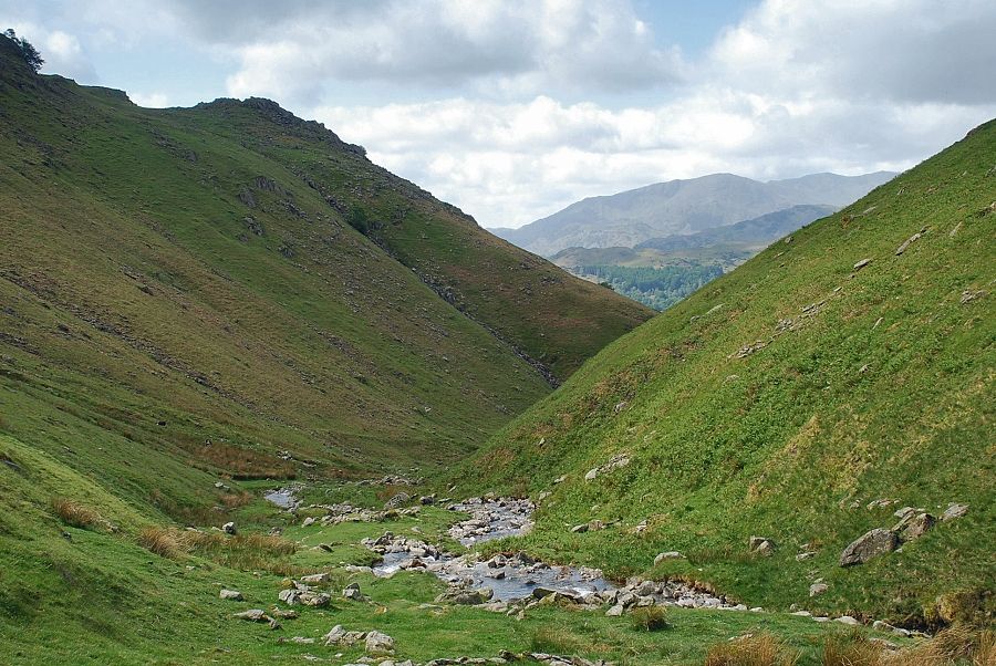
| Looking back along the Rydal Beck valley to Windermere |
 |
| The summits of Ill Bell and Red Screes appear over the ridge between Dove Crag and High Pike |
 |
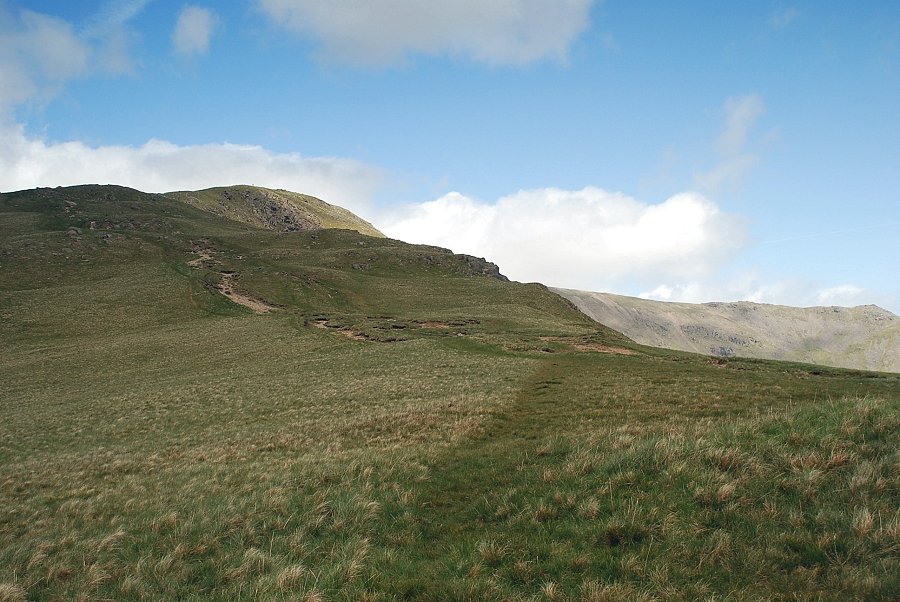
| The final slope leading to the summit |
 |
| Looking back to Grasmere from just below the summit |
 |
| Approaching the summit of Great Rigg |
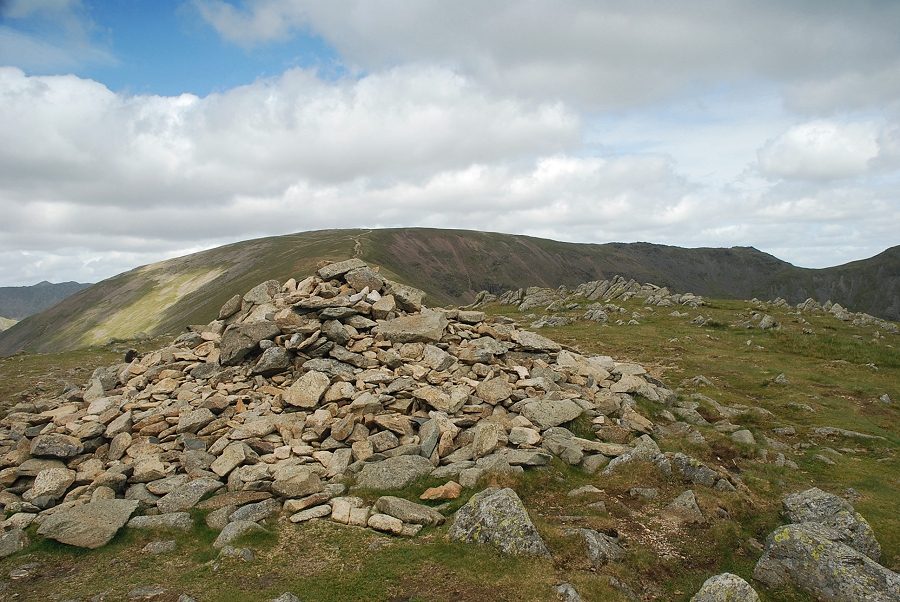 |
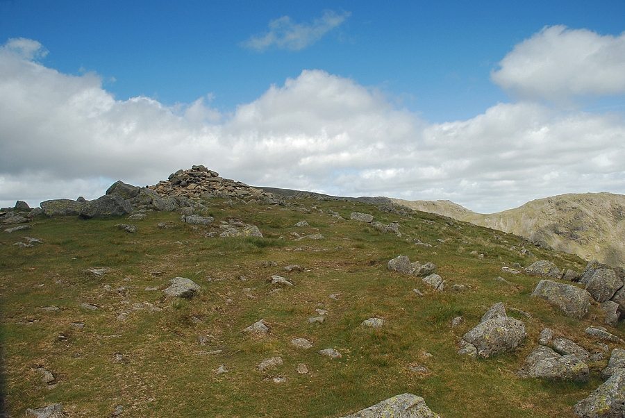
| The summit cairn on Great Rigg. The cairn is named Greatrigg Man on the OS maps |
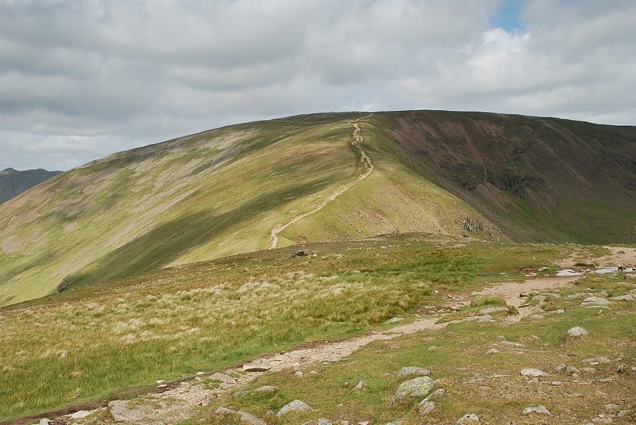 |
| The continuing ridge to the summit of Fairfield |
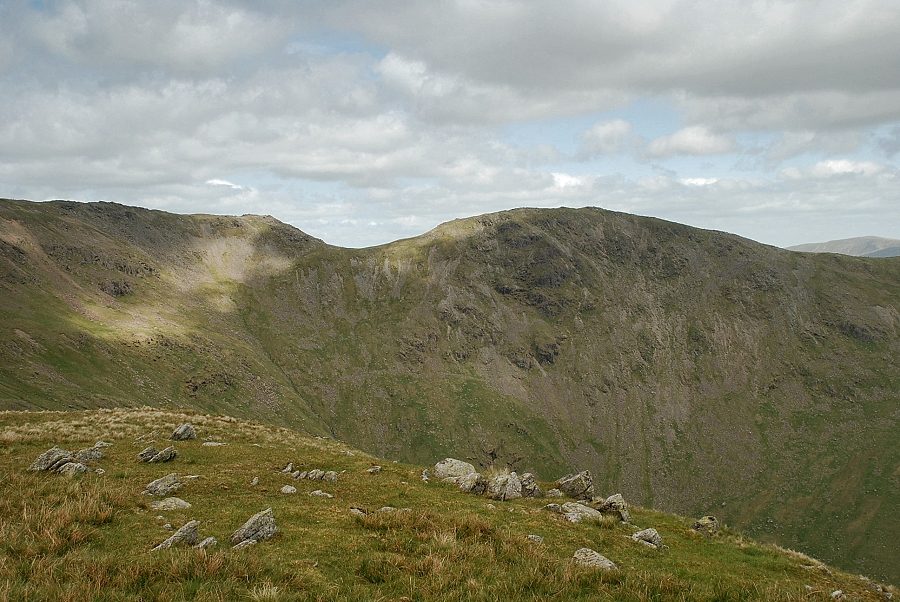 |
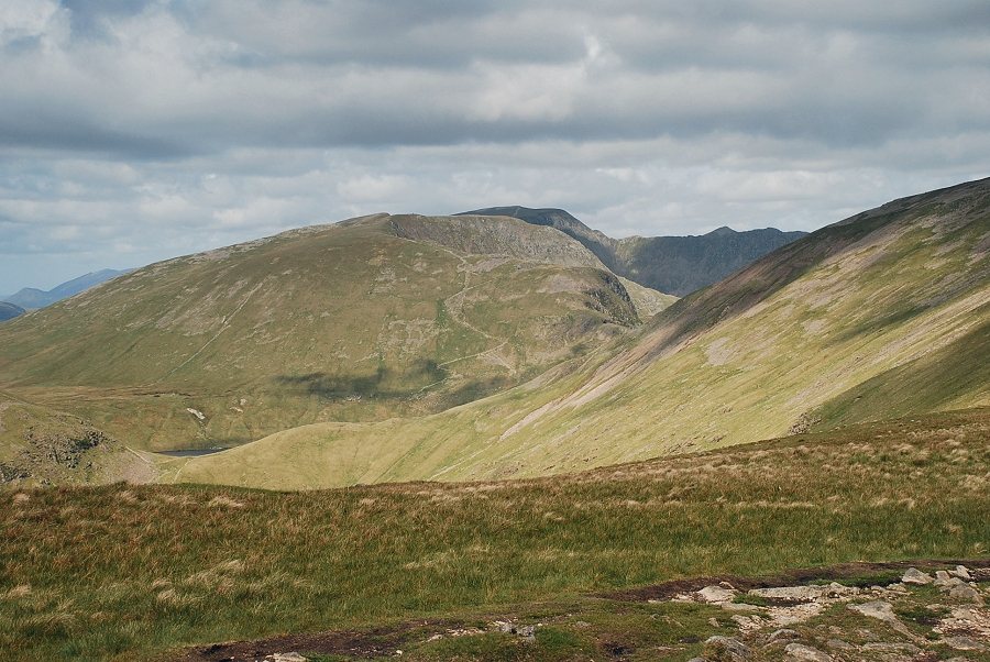
| Scrubby Crag, Link Hause and Hart Crag across Rydal Head with the summit of High Raise in the Far Eastern Fells on the right skyline |
 |
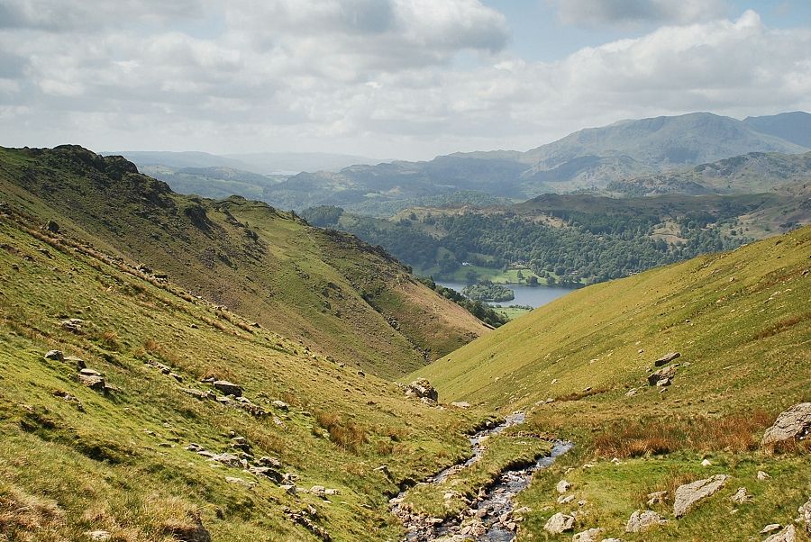
| Windermere from the summit of Great Rigg with the ridge leading to the summits of Erne Crag and Heron Pike |
 |
| Looking south, Coniston Water, with parts of Elterwater and Grasmere, are visible with the Coniston fells on the right |
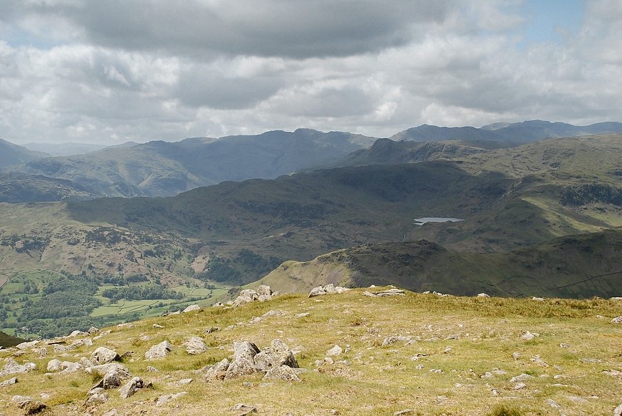 |
| Easedale Tarn with the centre and right skyline dominated by Crinkle Crags, Bowfell and the Scafells |
 |
| Great Gable, Pillar and High Stile on the centre skyline |
 |
| Sunlit Seat Sandal with a long line of North Western Fells to its left comprising Dale Head to Grisedale Pike |
 |
| The summit of Helvellyn over Dollywaggon Pike and Nethermost Pike with the summit cone of Catstycam appearing over Striding Edge |
|