 |
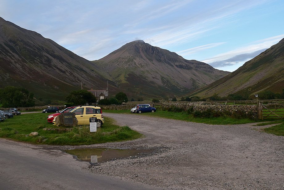
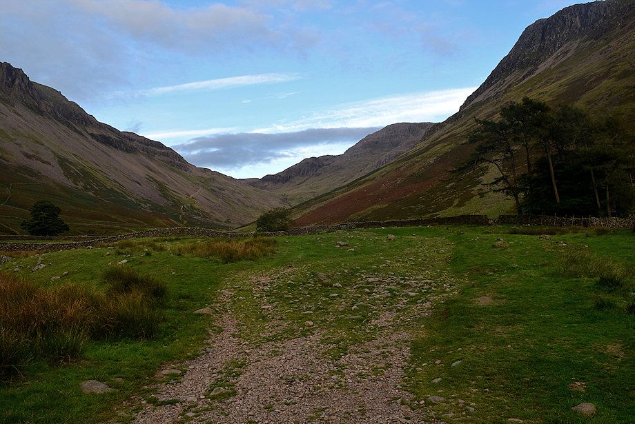
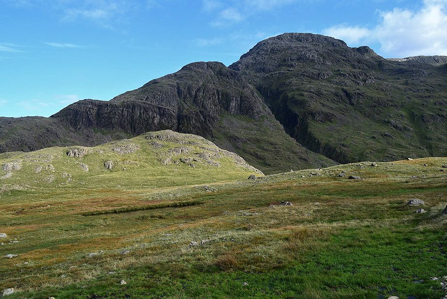
| Great Gable from Wasdale Head Green at the the start of the walk |
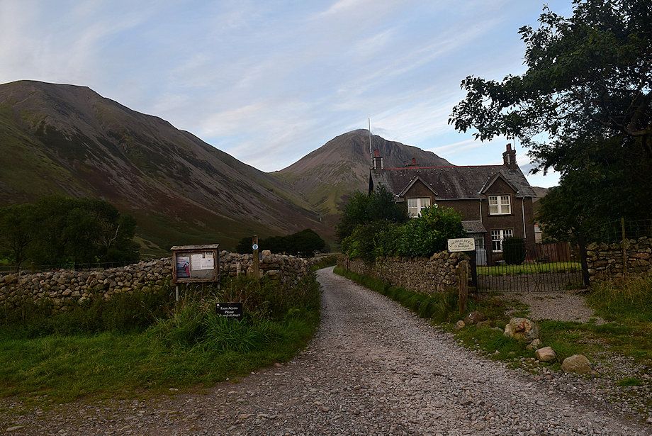 |
| Leave Wasdale Head Green by the lane leading to Burnthwaite Farm, passing Lingmell House and St. Olaf's Church on the way |
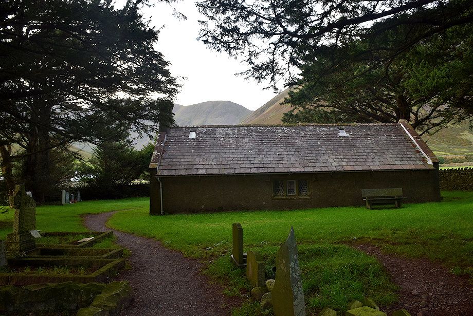 |
| St. Olaf's Church |
 |
| Burnthwaite Farm, pass to the left of the barn and go through a gate to join the Moses Trod path |
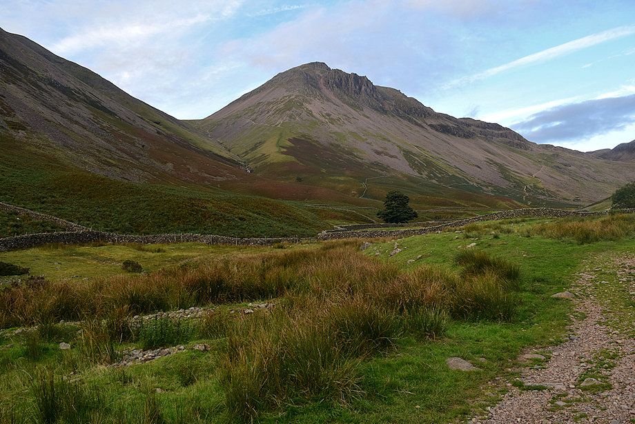 |
| Great Gable from Moses Trod |
 |
| Sty Head Pass from Moses Trod |
 |
| Looking back to Burnthwaite Farm from Moses Trod |
 |
| Approaching the footbridge over Gable Beck |
 |
| The footbridge over Gable Beck |
 |
| The Moses Trod path turns off to the left to climb Gavel Neese |
 |
| The path to Sty Head contininues straight-ahead running alongside Lingmell Beck |
 |
| About 280 yards on from the Gable Beck footbridge the path splits. The right branch is the old path to Sty Head, known as the Pony or Valley route, it's slightly longer but much easier than the direct route which climbs across the southern slopes of Great Gable |
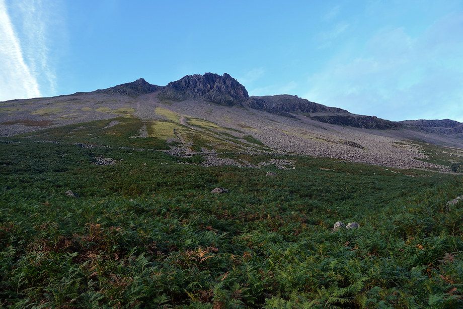 |
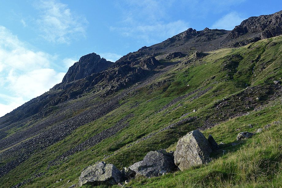
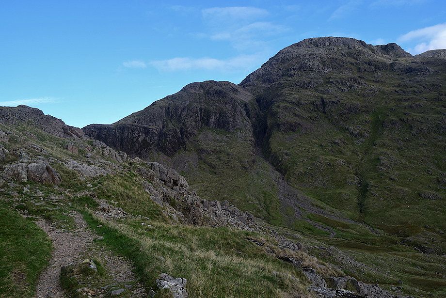
| Looking up the White Napes and Great Napes from the direct path to Sty Head |
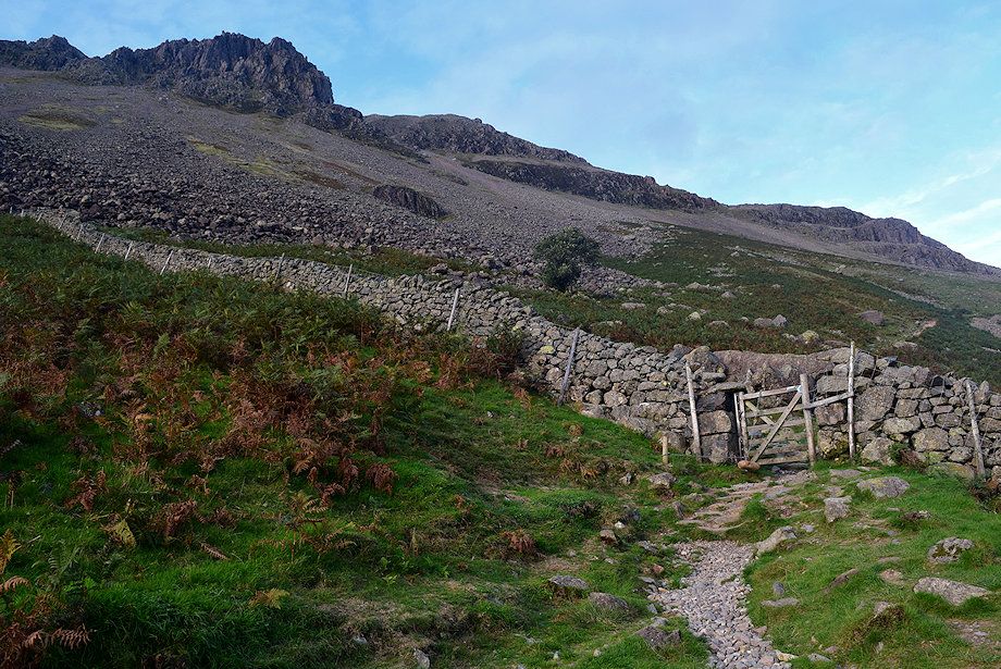 |
| The direct path passes through a handgate in the intake wall |
 |
| Looking over towards Lingmell from the intake wall gate |
 |
| Great End from the intake wall |
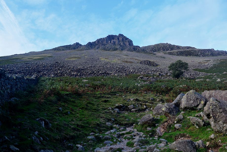 |
| Looking up to the Great Napes from the intake wall |
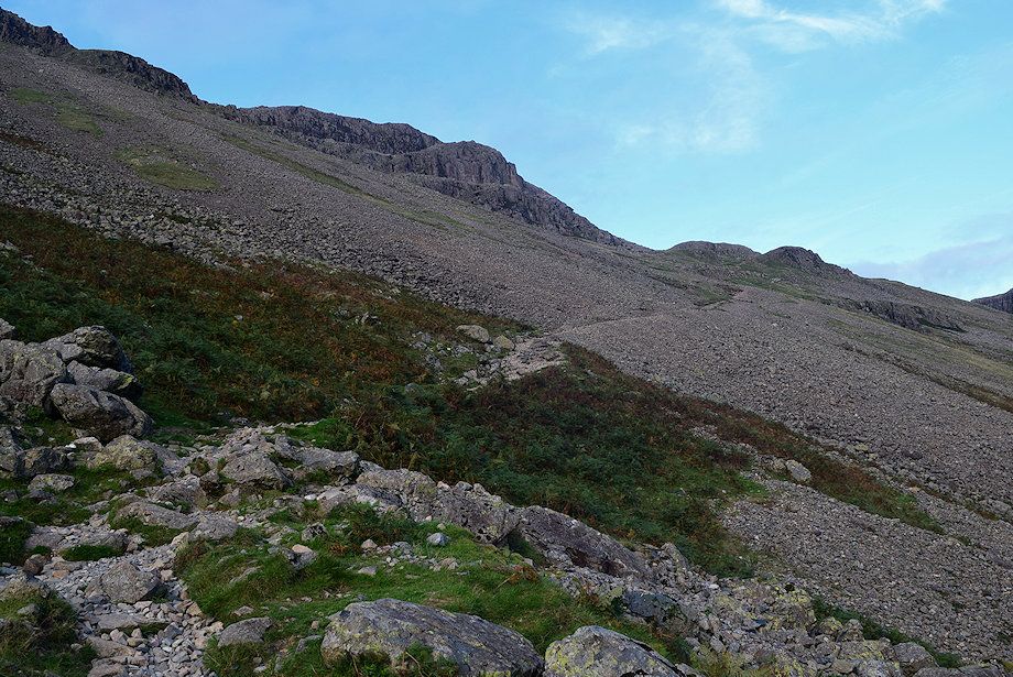 |
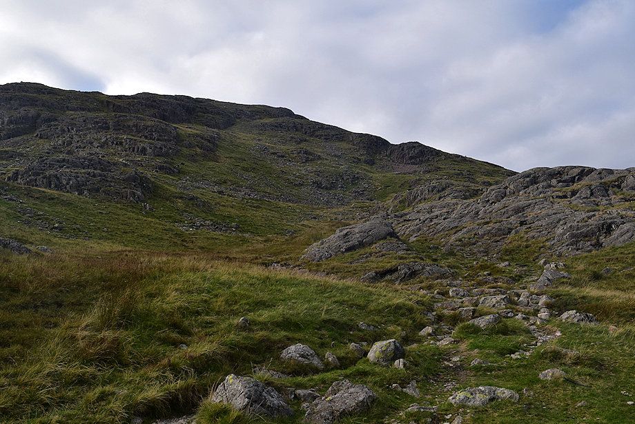
| The middle section of the direct path climbs across an extensive scree slope |
 |
| Looking up the the Great Napes from the scree slope. Napes Needle is visible but hard to pick out against the wall of crags, however the Sphinx, or Cat Rock is easily seen standing silhouetted against the sky on the left |
 |
| Looking over towards Piers Gill and Greta Gill, the Pony or Valley Route path to Sty Head can be seen rising across the slopes above Spouthead Gill |
 |
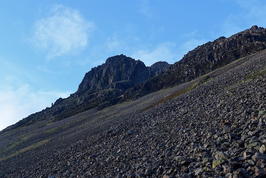
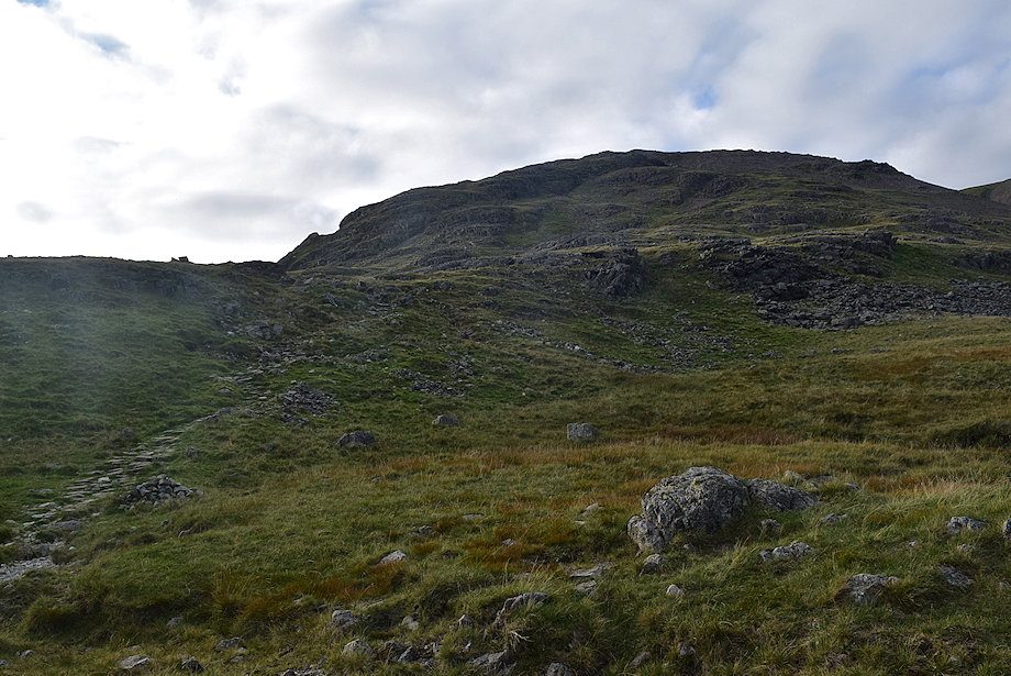
| Above the scree slope a stone-pitched path leads up to rock band below Lower Kern Knotts which requires a little mild scrambling to cross it |
 |
| Looking back from the top of the rock band |
 |
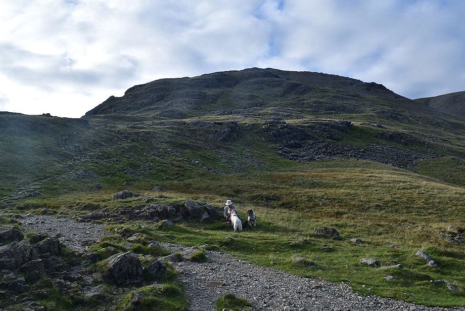
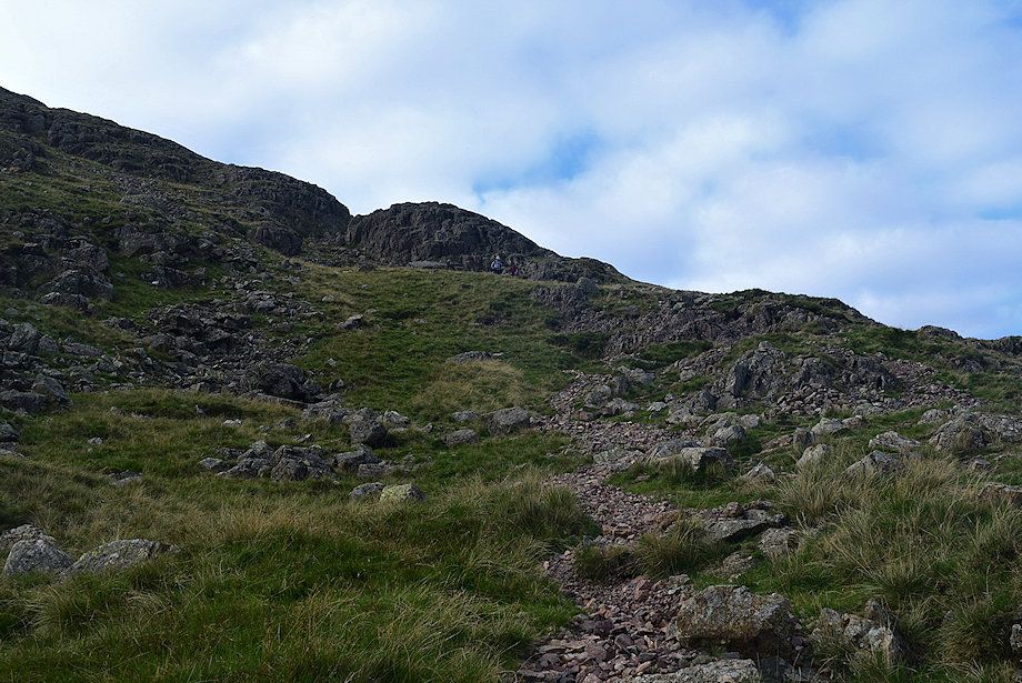
| Above the rock band the stone-pitched path leads up towards a small col below Toad How. This is the last steep section of the direct path, after which it's fairly level walking from the col to reach Sty Head |
 |
| Looking back to the Great Napes from the path below Toad How |
 |
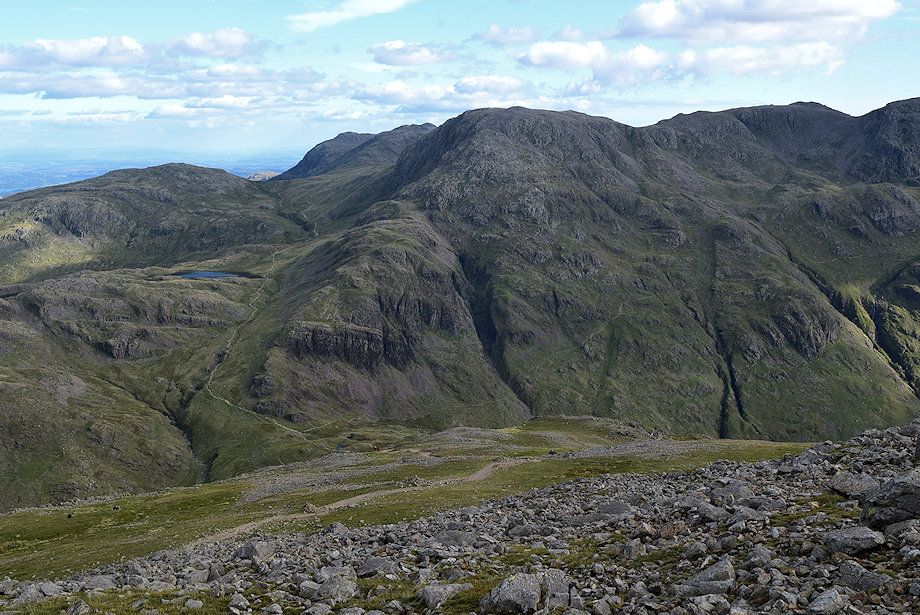
| Broad Crag, Scafell Pike and Lingmell from the path below Toad How |
 |
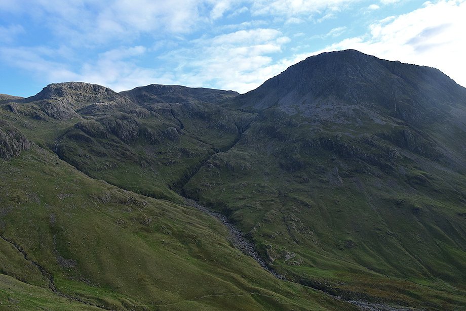
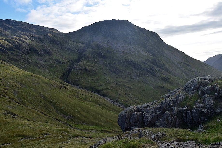
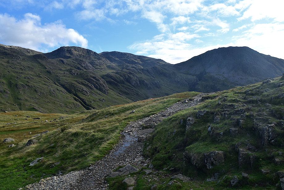
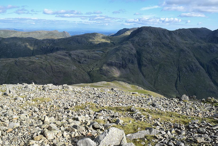
| The Band and Great End from the col under Toad How |
 |
| Looking back along the level section of the path |
 |
| Looking up to Kern Knotts |
 |
| Looking over to the Pikes of Scafell |
 |
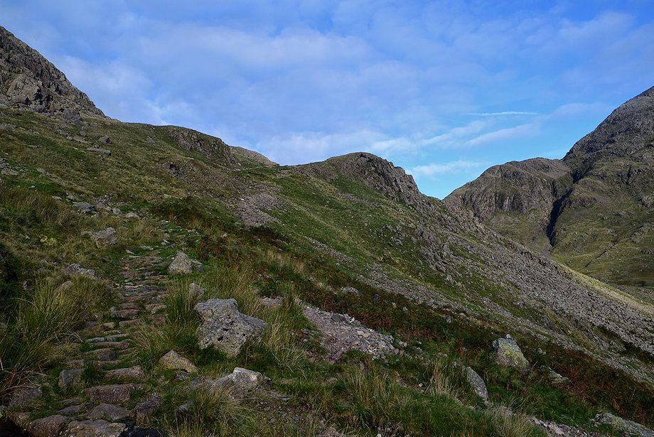
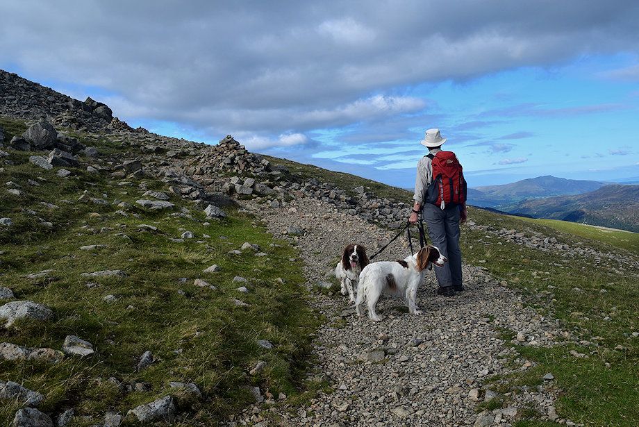
| Occasional cairns mark the way along a wide rock shelf as the path approaches Sty Head |
 |
| Looking back from the rock shelf |
 |
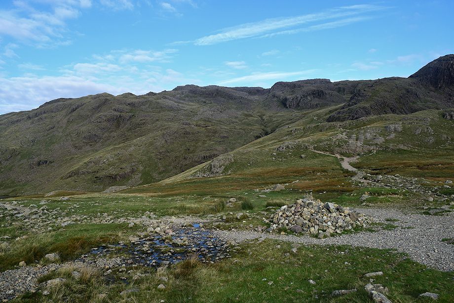
| Lingmell from the rock shelf |
 |
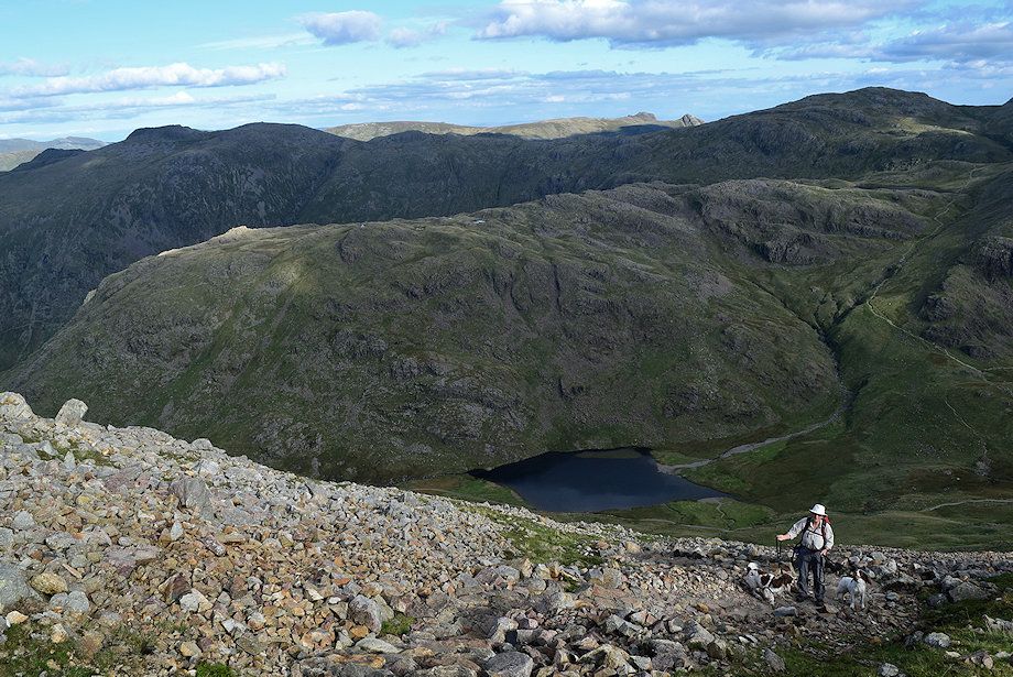
| A final cairn marks the arrival of the path onto Sty Head |
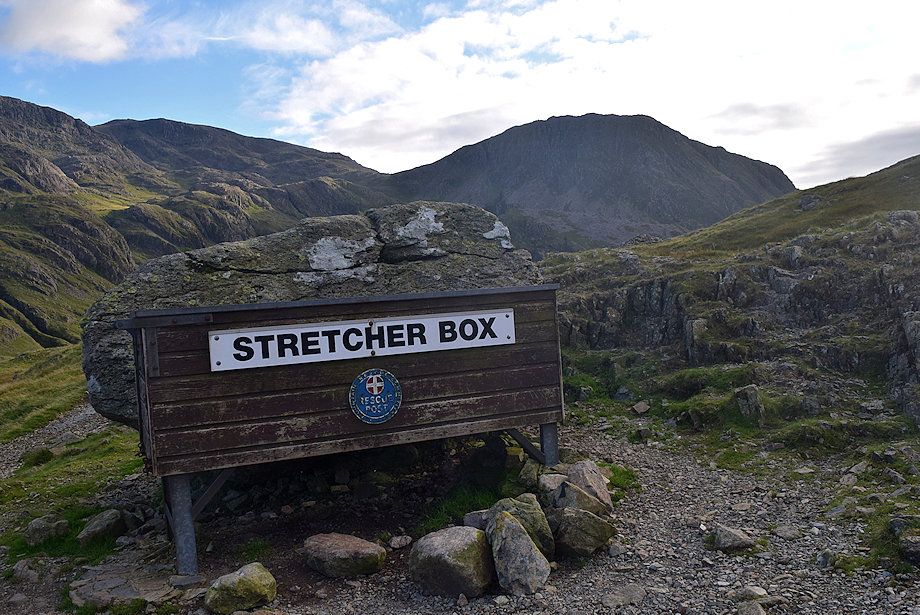 |
| The Mountain Rescue stretcher box on Sty Head |
 |
| Great Gable and Green Gable from Sty Head |
 |
| Blencathra on the distant horizon from Sty Head |
 |
| Seathwaite Fell from Sty Head |
 |
| The Band and Great End from Sty Head |
 |
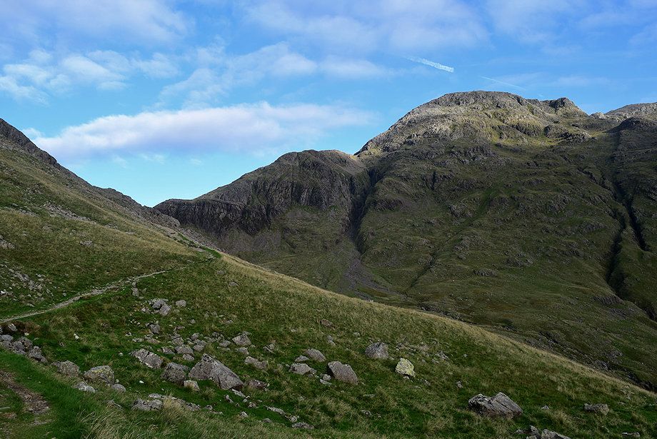
| The path leading on from Sty Head to Great Langdale |
 |
| Our path, the Tourist or Breast Route, heads due north-west to the summit of Great Gable |
 |
| Broad Crag, Scafell Pike and Lingmell from Sty Head |
 |
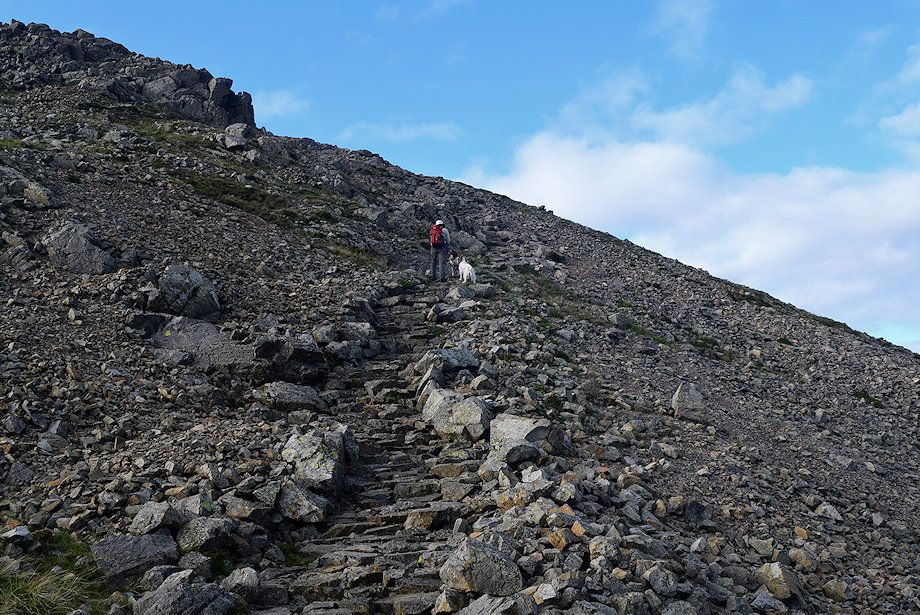
| Starting up the Breast Route, a 1,350 ft climb to the summit of Great Gable |
 |
| Initially the path threads its way around rock outcrops and climbs to cross a narrow belt of crags seen here right of centre |
 |
| Approaching the belt of crags which are easily climbed via a narrow gully |
 |
| The steepest part of the ascent occurs just above the belt of crags |
 |
| Looking across to the Helvellyn range |
 |
| Looking back to Styhead Tarn |
 |
| The angle of the slope eases as the path climbs over a wide tilted grass shelf |
 |
| Looking over towards Blencathra |
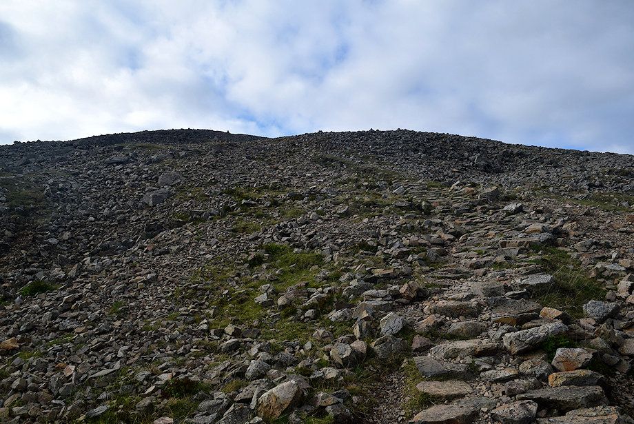 |
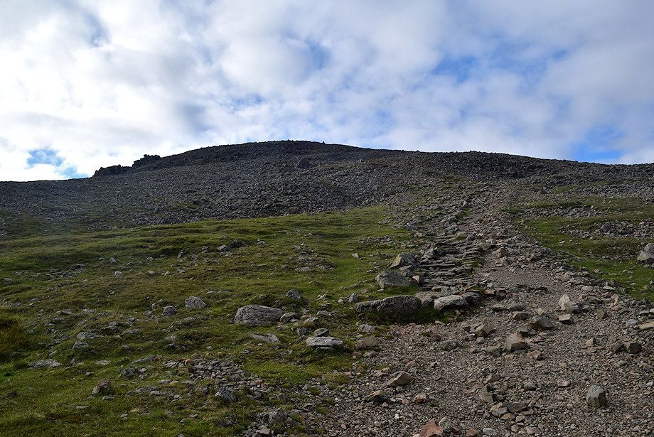
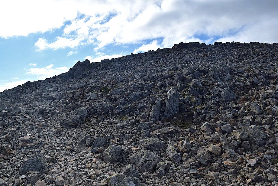
| The stone-pitching of the path resumes as it approaches the roughest part of the ascent where it weaves its way through a boulder field |
 |
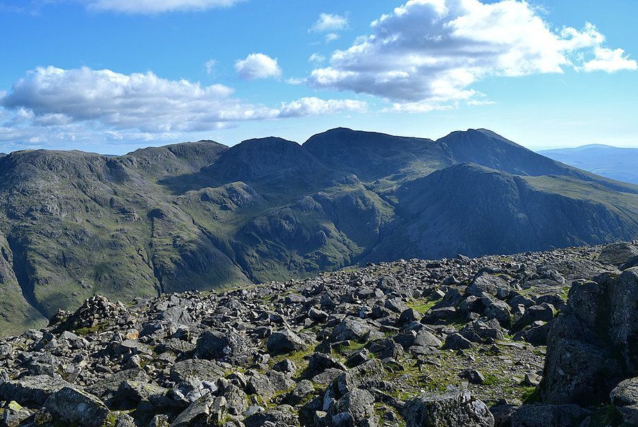
| Looking back to Ill Crag, Broad Crag, Scafell Pike and Scafell |
 |
| The start of the path through the boulder field |
 |
| Sunshine highlights Sprinkling Tarn and the Langdale Pikes |
 |
| A line of cairns marks the path through the boulder field |
 |
| The view to the north-east over the summit of Green Gable |
 |
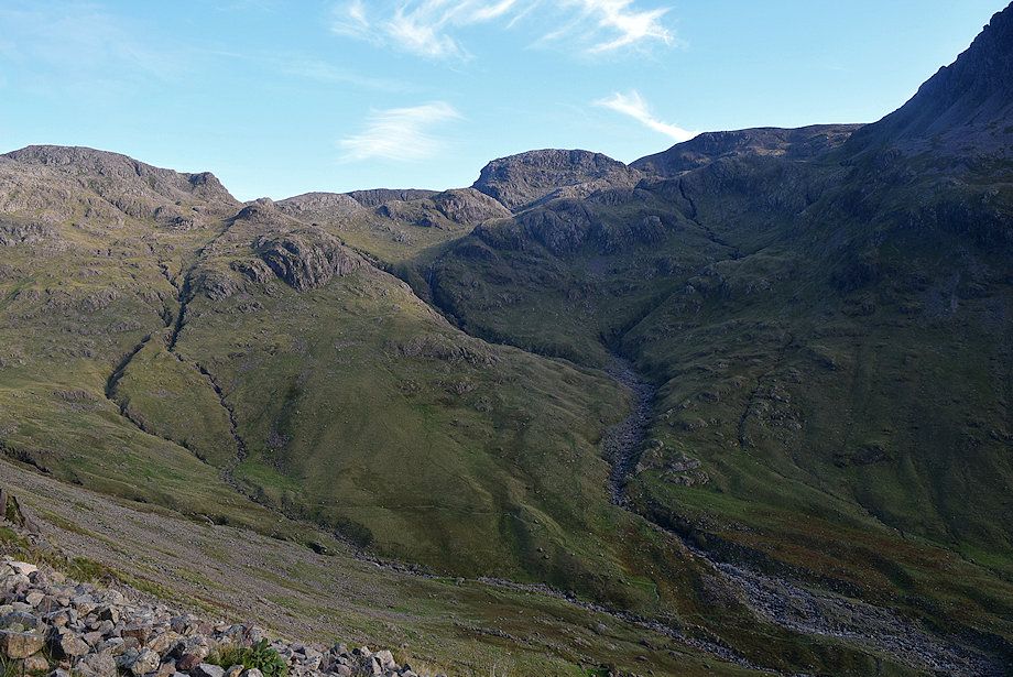
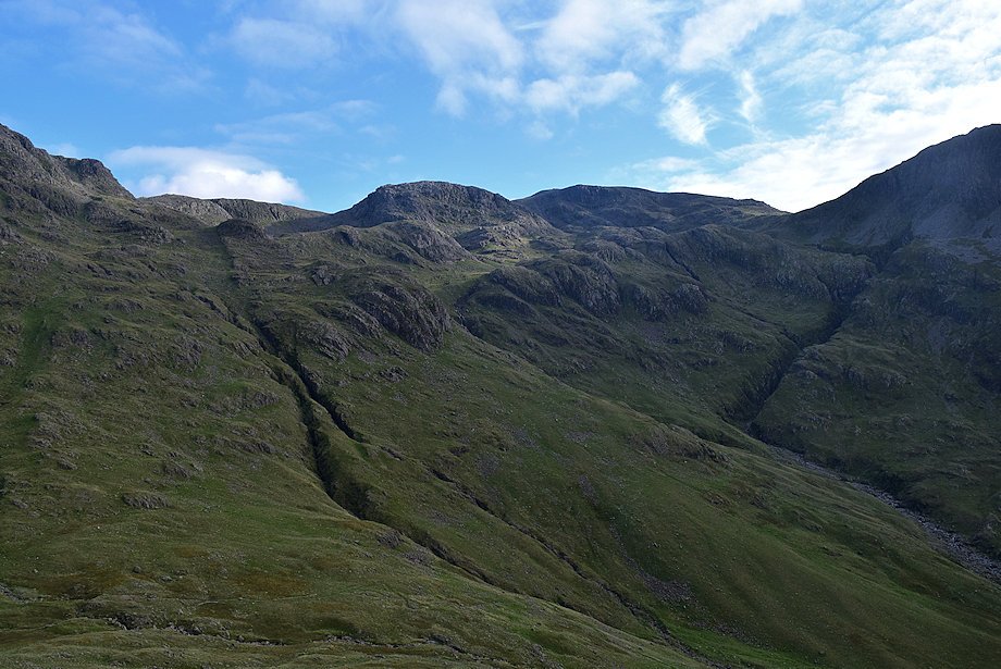
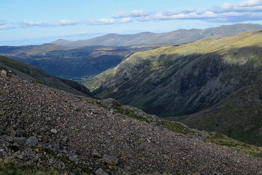
| Looking back to Allen Crags, Bowfell, Esk Pike, Great End and Ill Crag. The path from Sty Head to Great Langdale can be seen passing Sprinkling Tarn. The path rising across the flank of Great End is the Corridor or Guides Route from Sty Head to Scafell Pike |
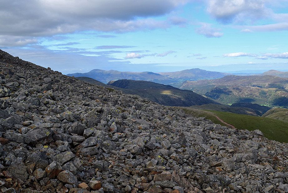 |
| Looking across towards Skiddaw over the summits of Dale Head and High Spy with Blencathra over Walla Crag and Bleaberry Fell to the right |
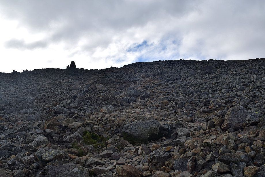 |
| Climbing up towards a well-built tall cairn |
 |
| Looking back from the tall cairn |
 |
| Climbing up to another prominent cairn which is set on a rock, the summit will come into view on reaching it |
 |
| Plenty of stones around to build these cairns ! |
 |
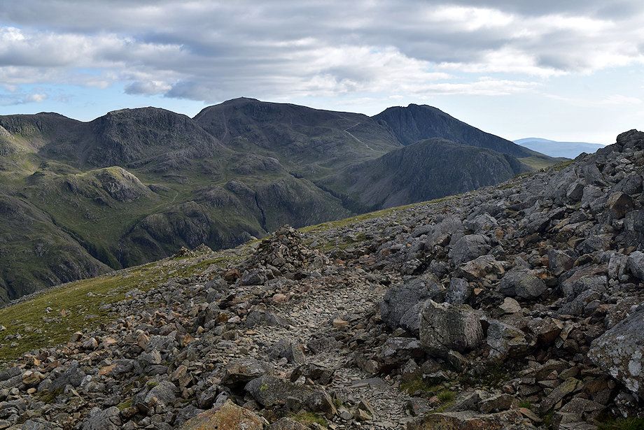
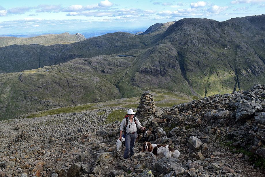
| Looking back from just below the summit of Great Gable |
 |
| Looking over to the Scafell group |
 |
| Looking back to the Helvellyn and Fairfield group of fells from just below the summit |
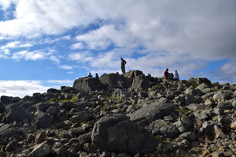 |
| Approaching the summit of Great Gable |
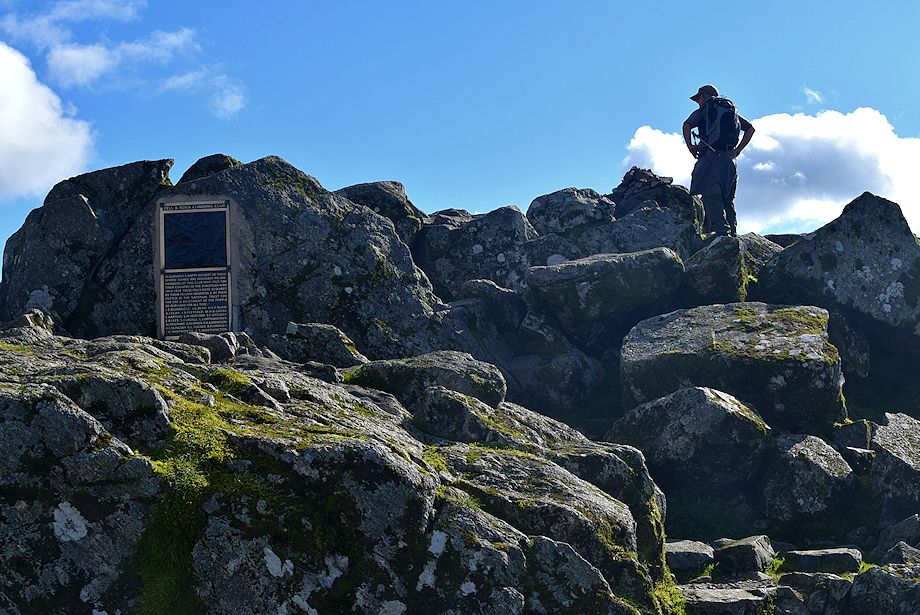 |
| The summit of Great Gable with the Fell and Rock Climbing Club plaque dedicated to its members who died in the Great War |
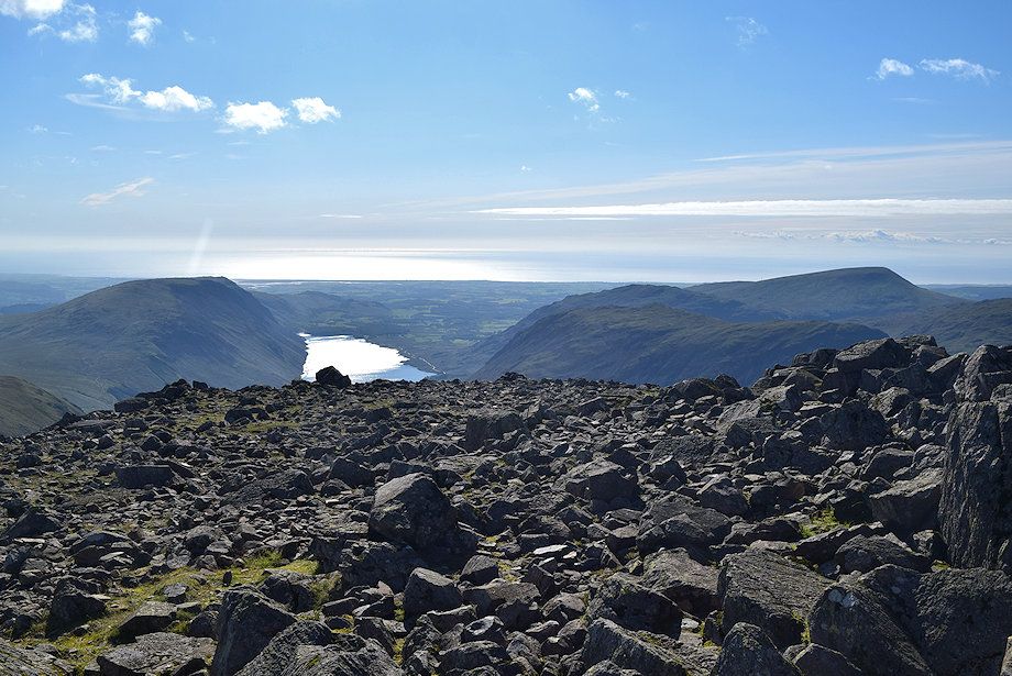 |
| Wast Water from the summit of Great Gable with Illgill Head on the left and Yewbarrow, Middle Fell, and Seatallan on the right |
 |
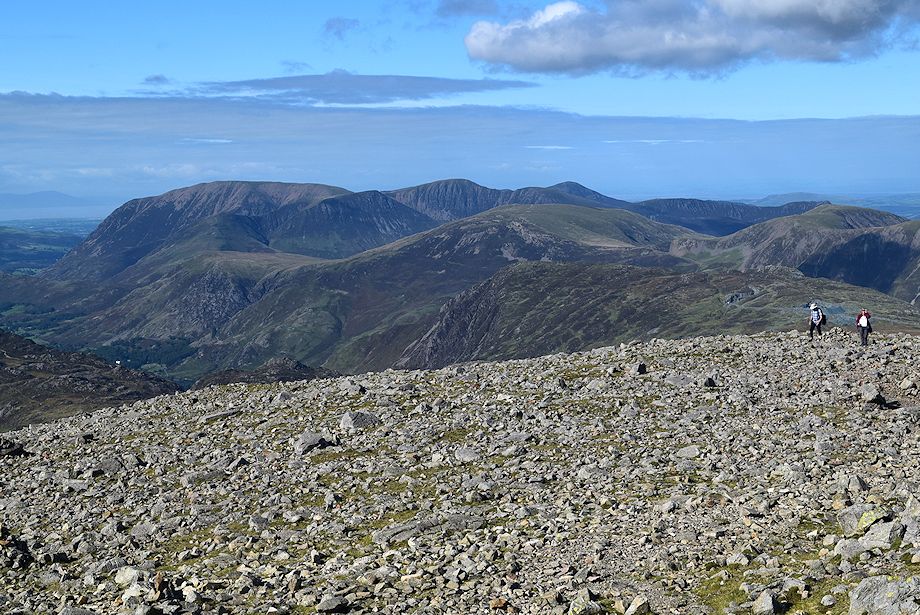
| Red Pike, Scoat Fell, Steeple and Pillar over the summit of Kirk Fell |
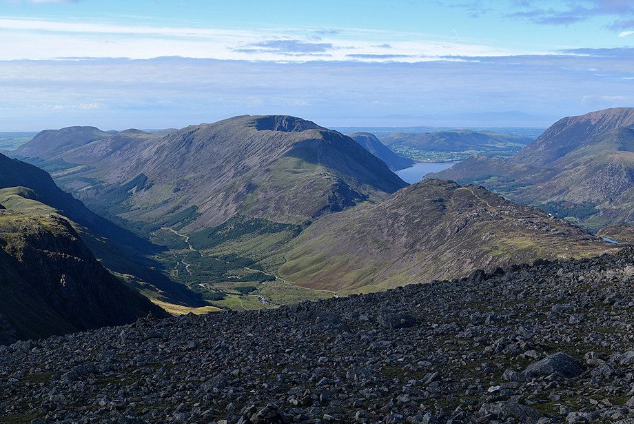 |
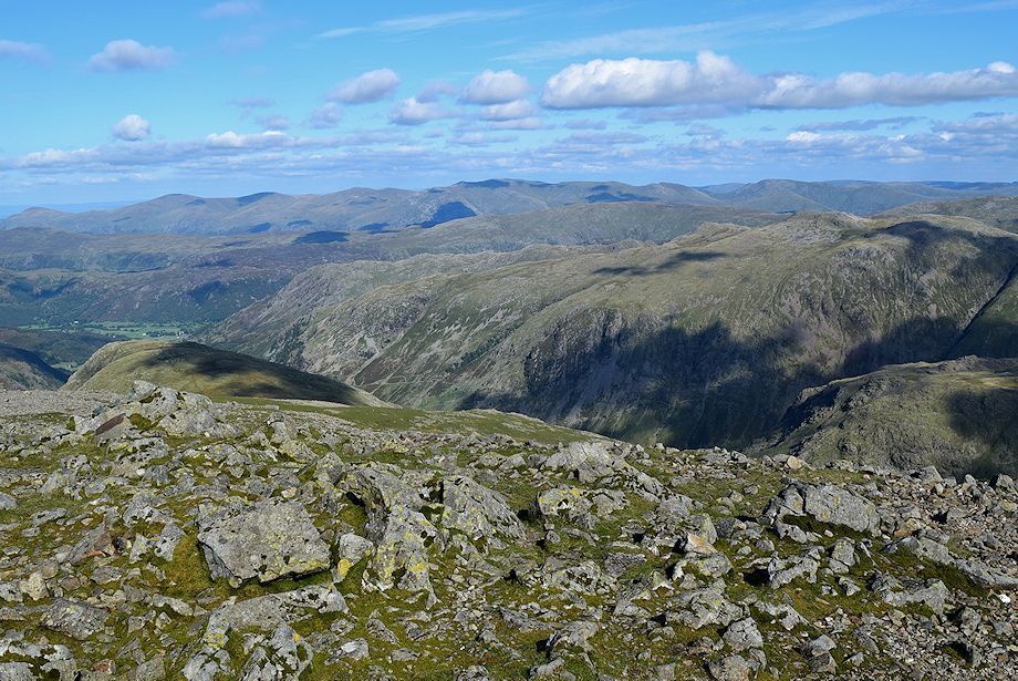
| The High Stile ridge and Haystacks from the summit of Great Gable |
 |
| The North-Western Fells from the summit of Great Gable, Grasmoor, Wandope, Eel Crag, Sail and Grisedale Pike being prominent on the horizon |
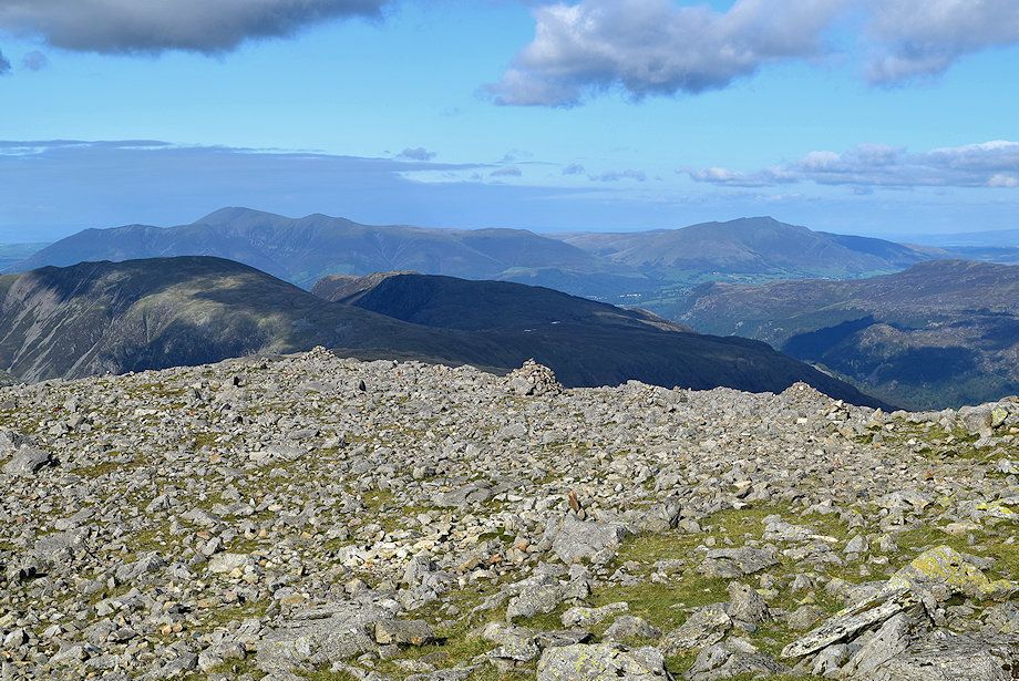 |
| Skiddaw and Blencthra from the summit of Great Gable |
 |
| The Helvellyn range from the summit of Great Gable |
 |
| The Langdale Pikes and Windermere over the Glaramara ~ Allen Crags ridge, with Bowfell and Esk Pike on the right beyond Great End |
 |
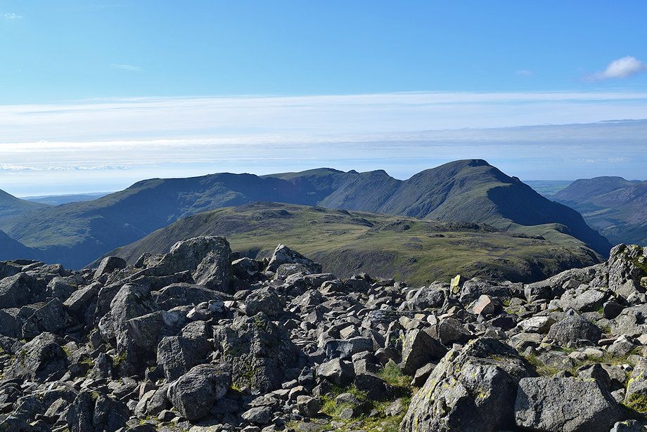
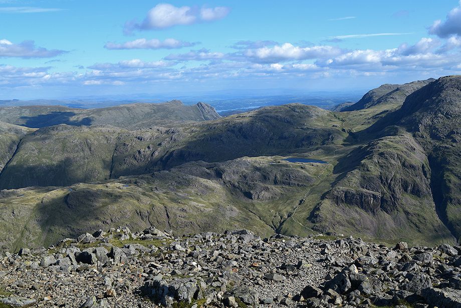
| Great End, Ill Crag, Broad Crag, Scafell Pike and Scafell from the summit of Great Gable |
