 |
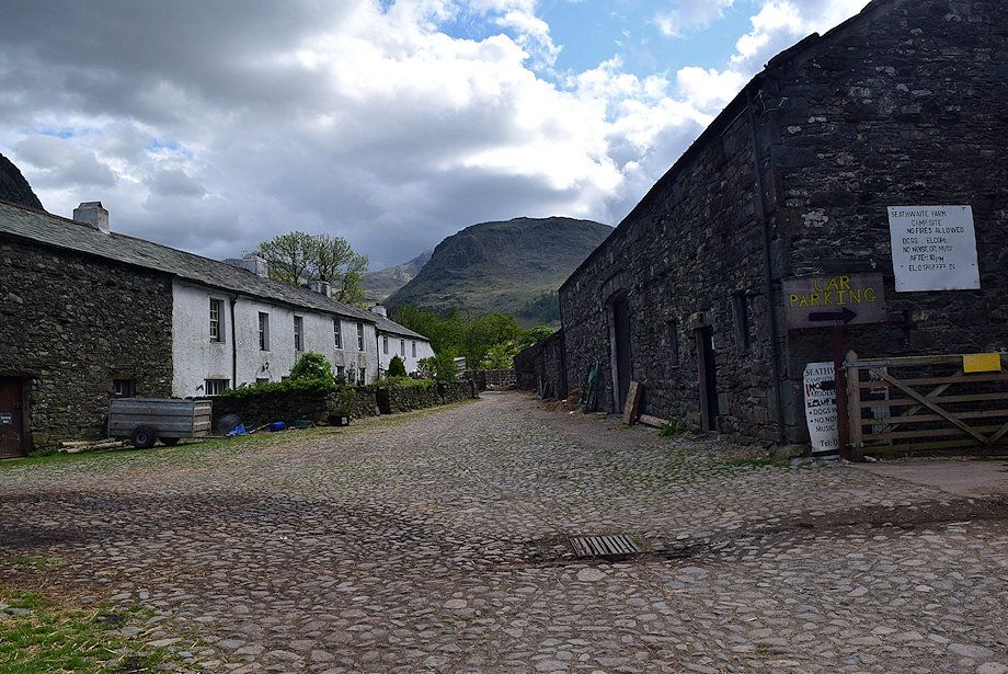
| Seathwaite Farm is the starting point for this walk. Walk straight through the farmyard and onto the bridleway track which leads to Stockley Bridge |
 |
| Looking back to Seathwaite Farm from the bridleway track |
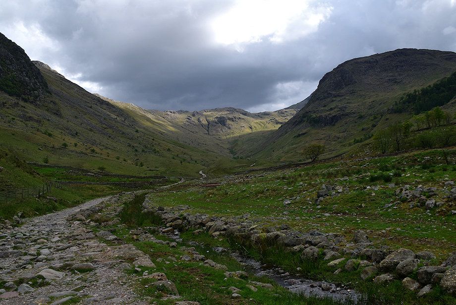 |
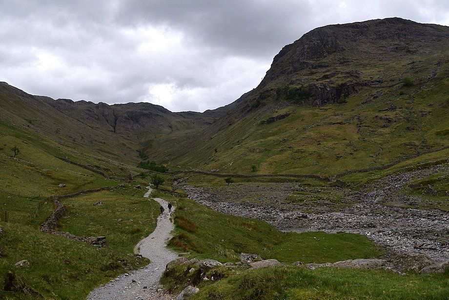
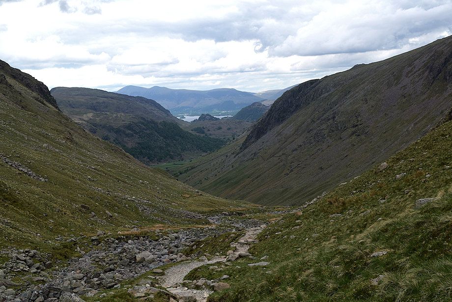
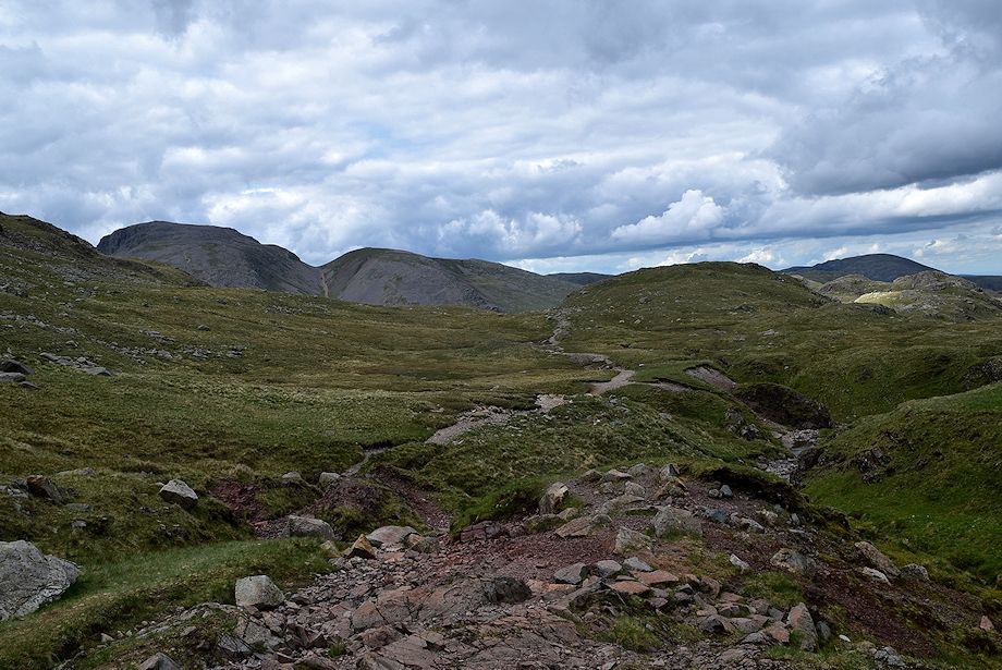
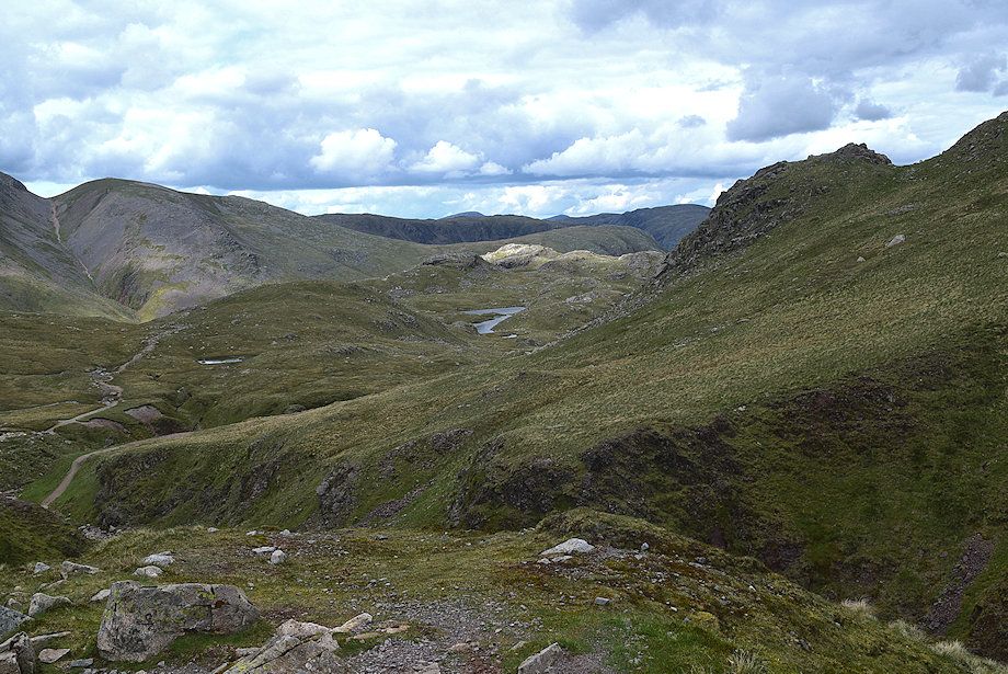
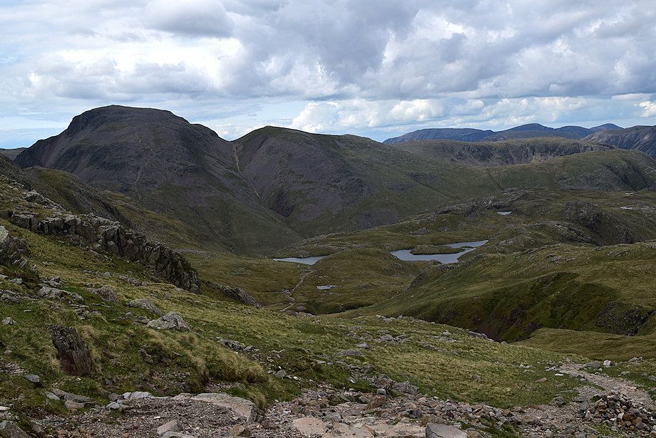
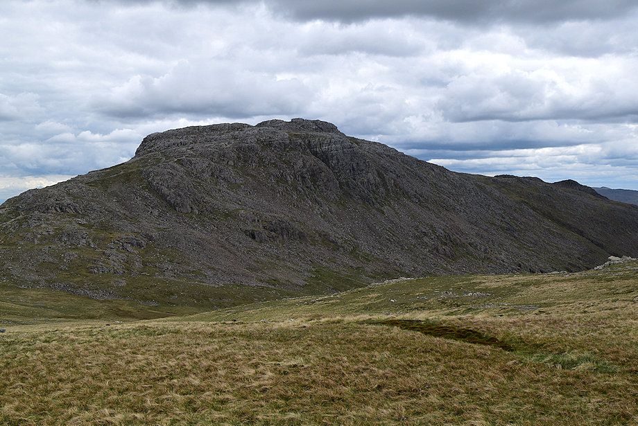
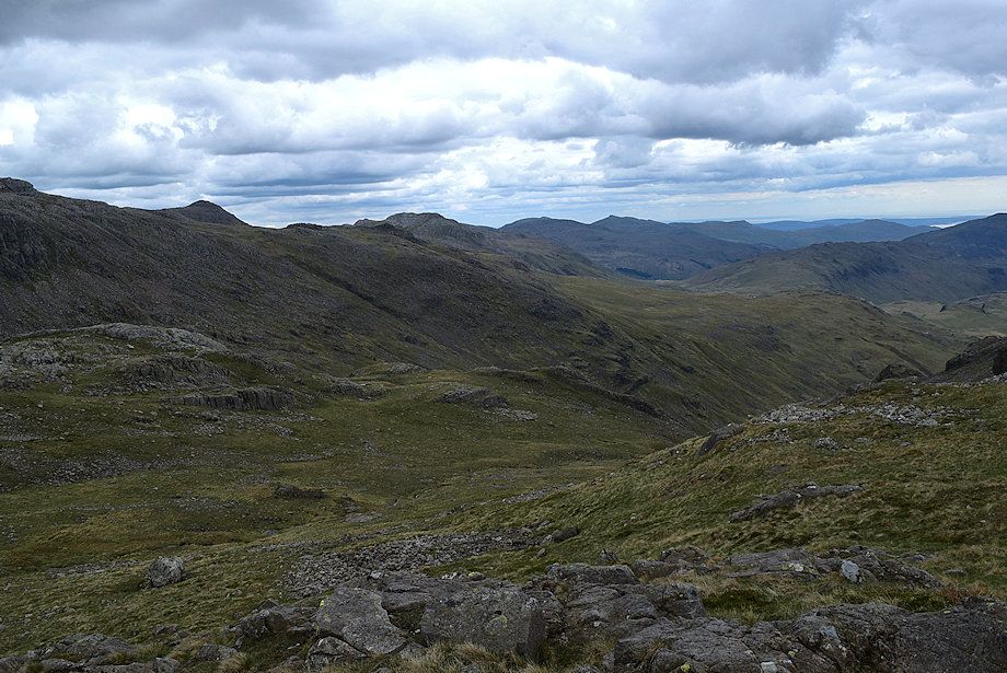
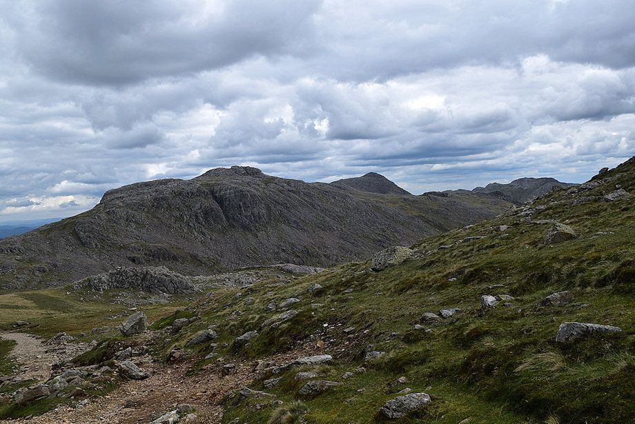
| Allen Crags at the end of the Grains Valley from the bridleway track |
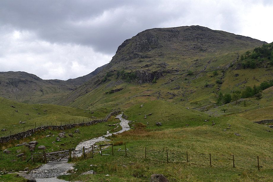 |
| Seathwaite Fell from the bridleway track |
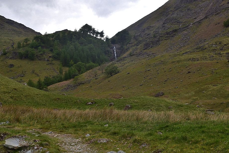 |
| Looking over to Taylorgill Force from the bridleway track |
 |
| Approaching Stockley Bridge |
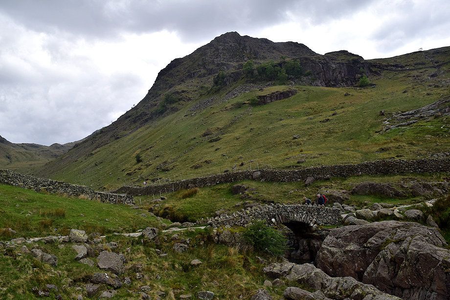 |
| Stockley Bridge. Cross the bridge and pass through the gate above it |
 |
| Looking back from Stockley Bridge |
 |
| Allen Crags from Stockley Bridge |
 |
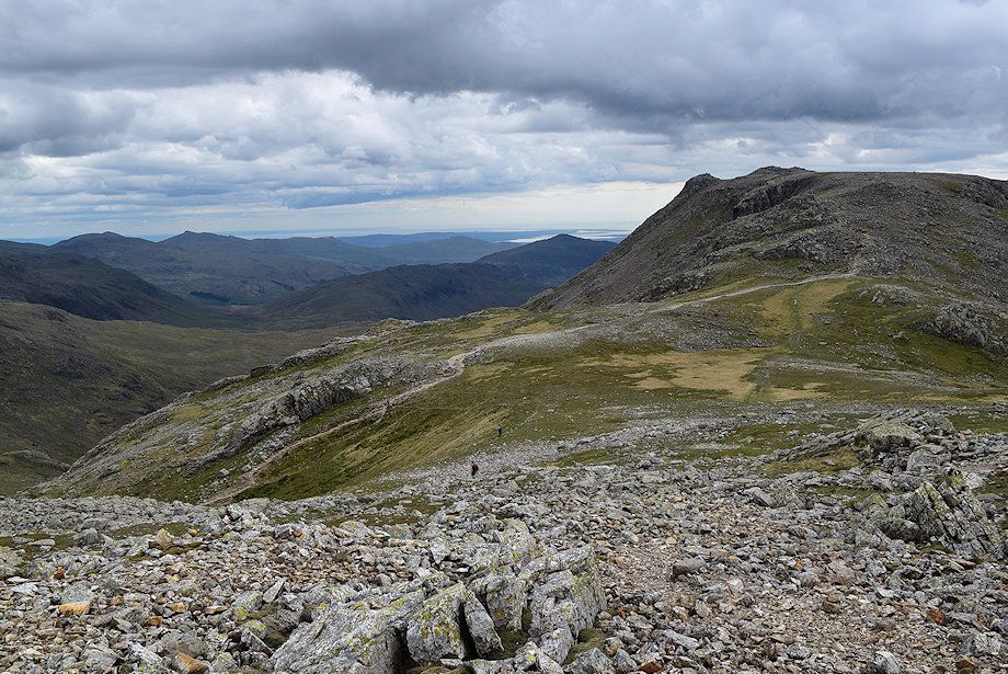
| The bridleway continues straight on from the gate, bound for Wasdale Head via Sty Head |
 |
| The route turns left from the gate to enter the Grains Valley |
 |
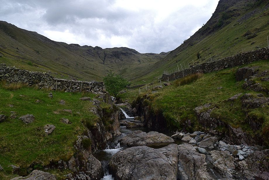
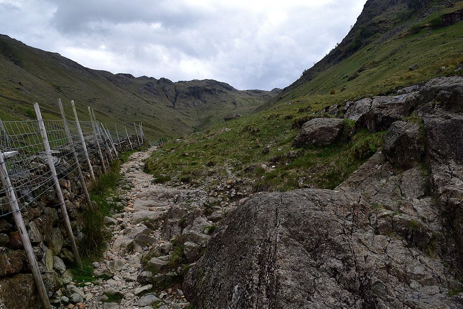
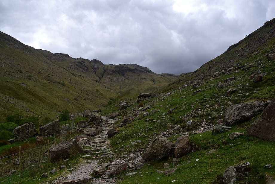
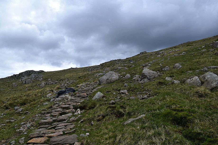
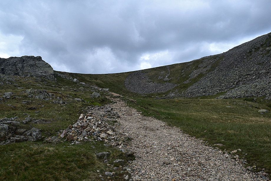
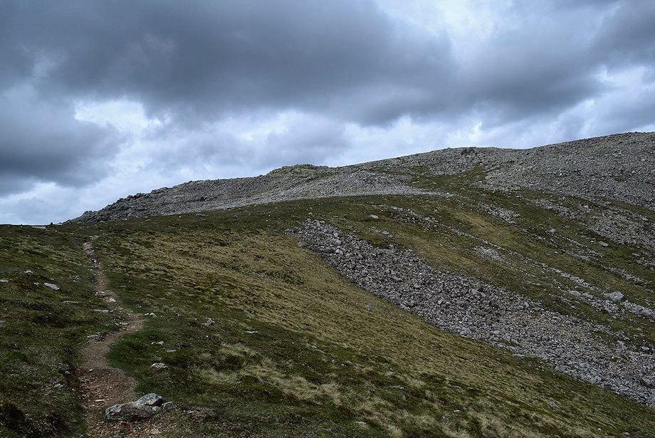
| The path climbs steadily to a gate in the intake wall |
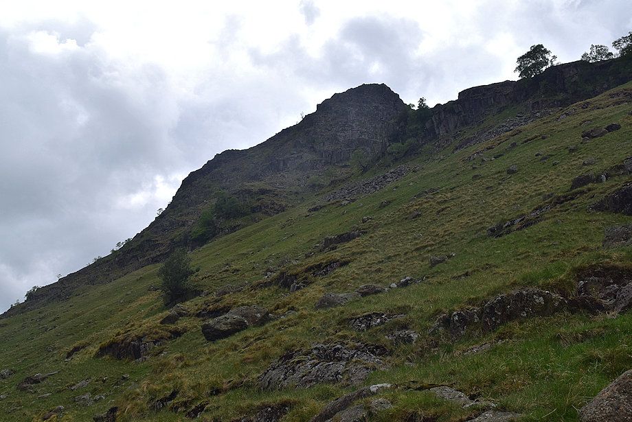 |
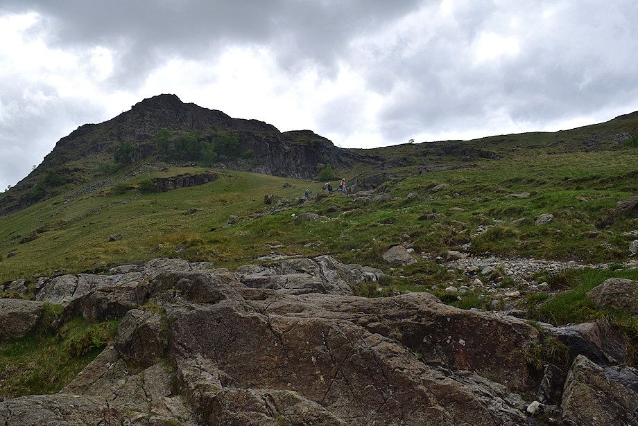
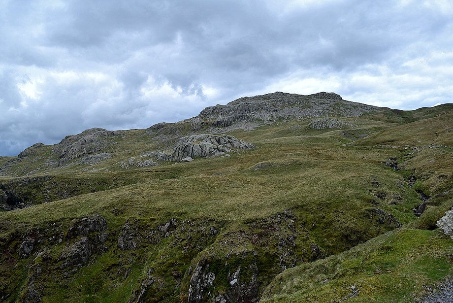
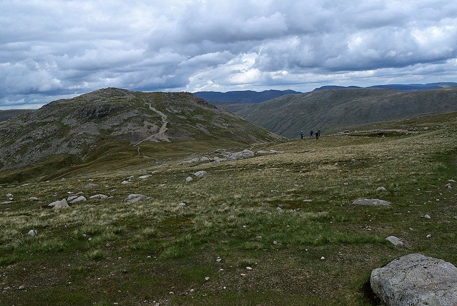
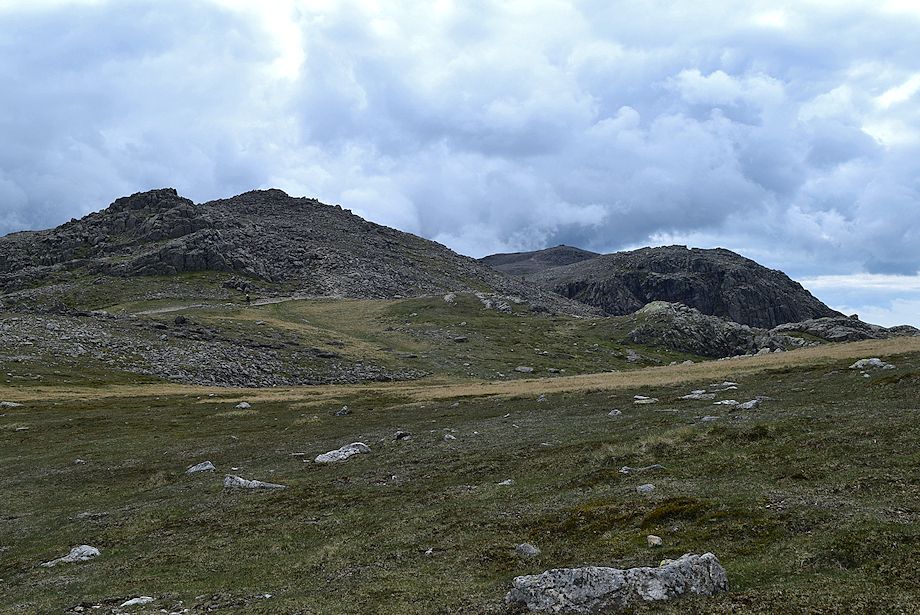
| Aaron Crags and Black Waugh on Seathwaite Fell from the Grains path |
 |
| The gate in the intake wall |
 |
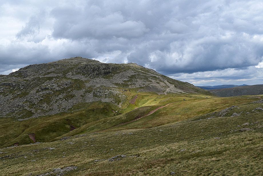
| Allen Crags from the gate |
 |
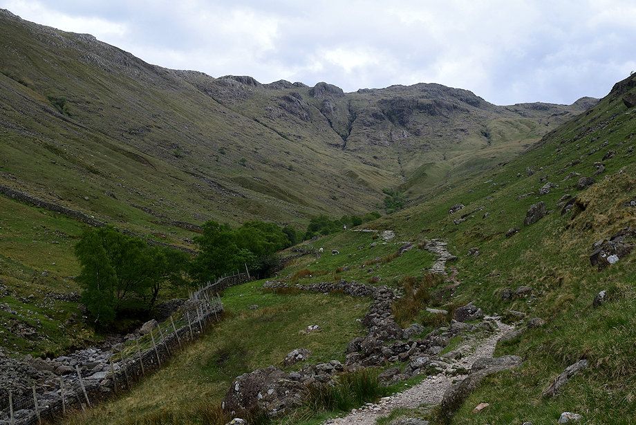
| Great End comes into view |
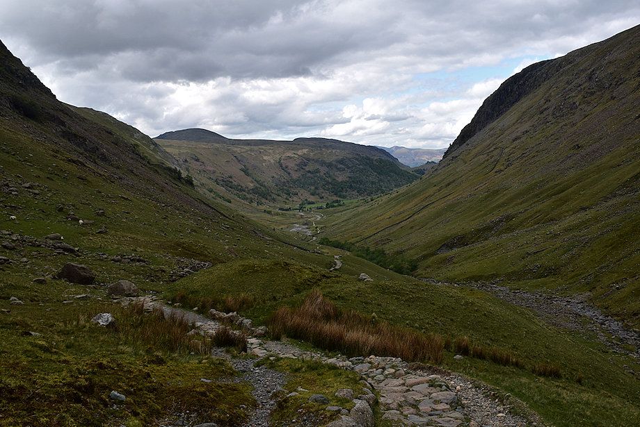 |
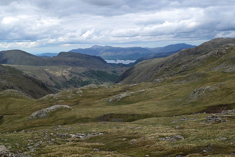
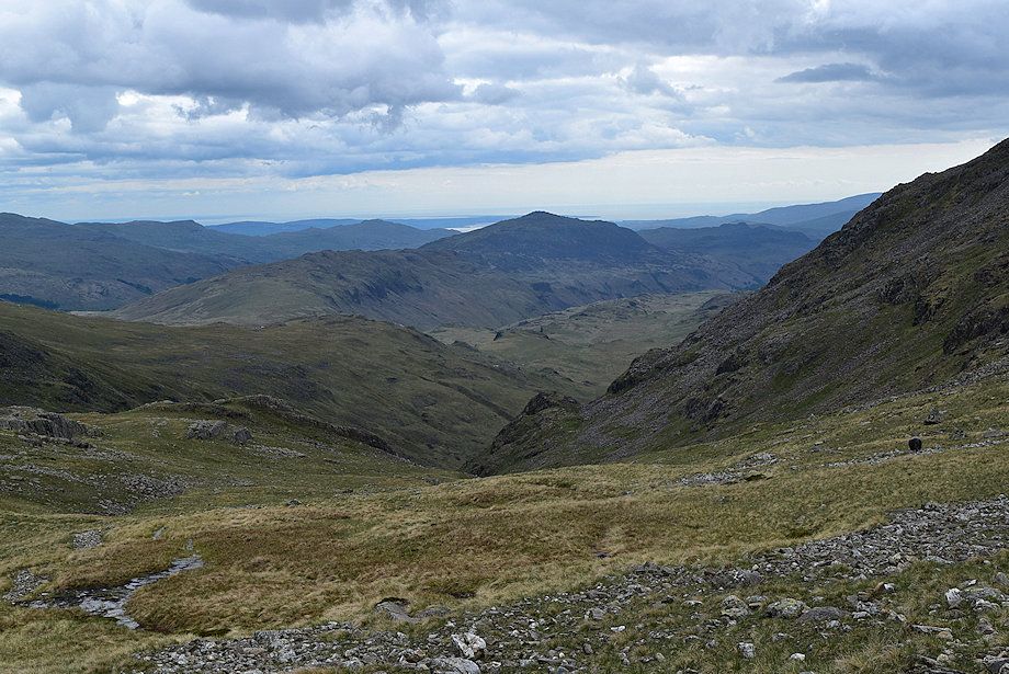
| Looking back along the valley, the summits of Dale Head and High Spy appear over High Scawdel with the distant Skiddaw Little Man to the right |
 |
| Approaching the footbridge over Ruddy Gill |
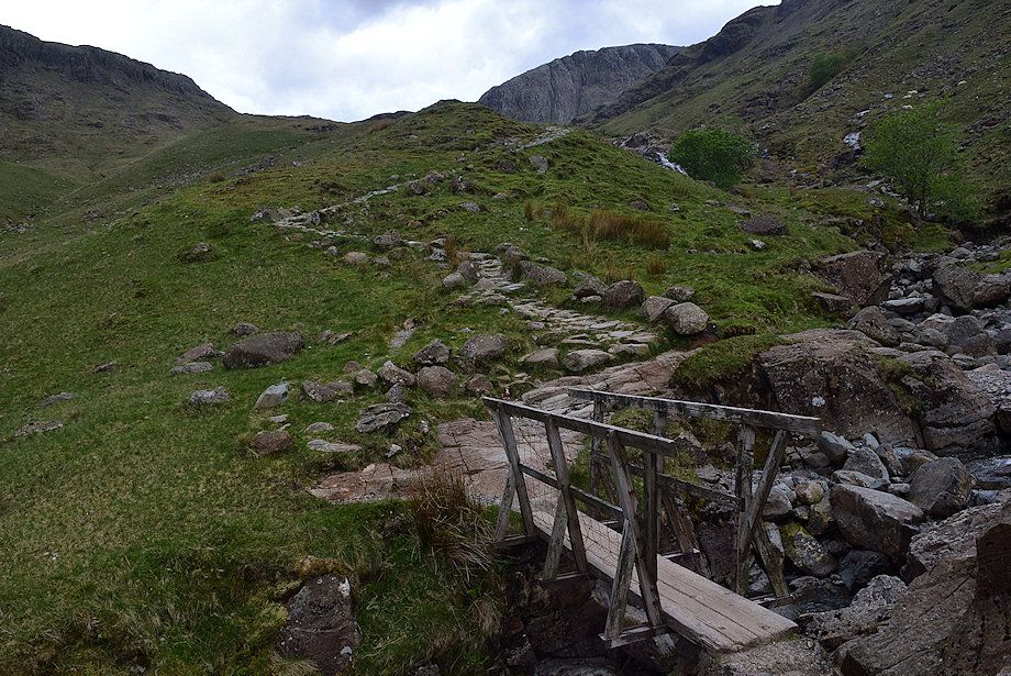 |
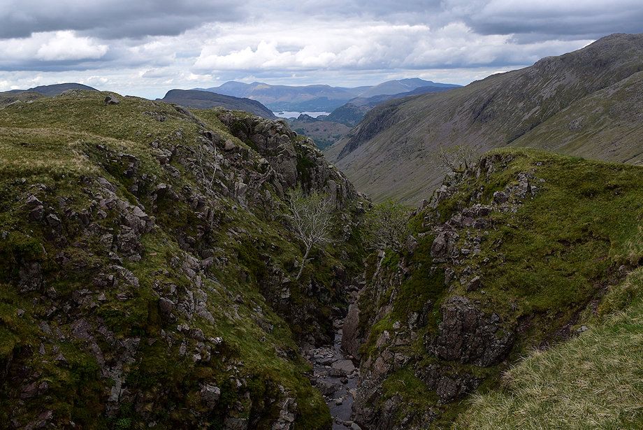
| The footbridge over Ruddy Gill, a major tributary of Grains Gill which cuts through a rock gorge below the bridge to drop vertically into Grains Gill |
 |
| Looking back from the footbridge over Ruddy Gill |
 |
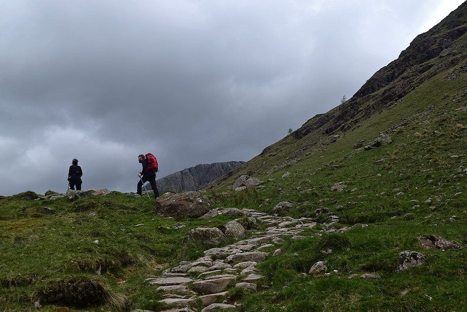
| The path now follows the course of Ruddy Gill passing a series of attractive cascades which merit closer inspection |
 |
| Looking back from the path alongside Ruddy Gill |
 |
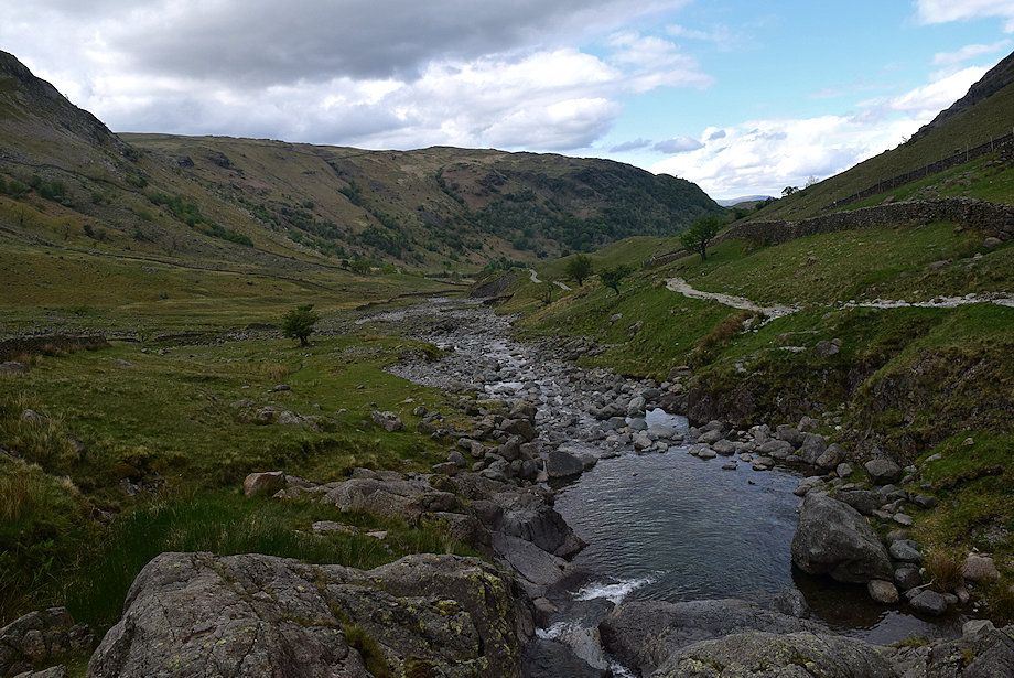
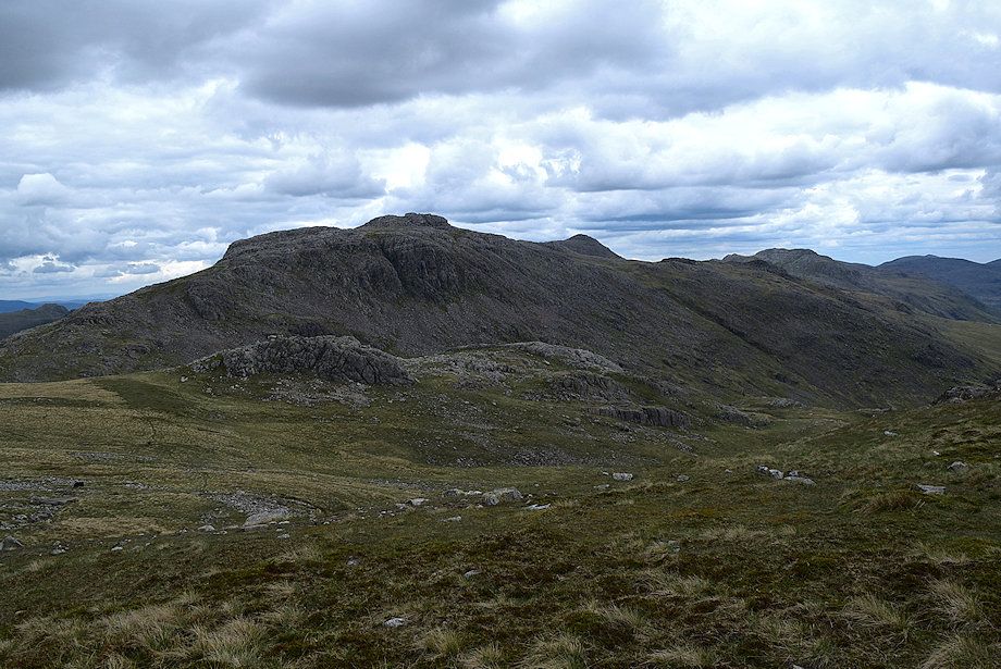
| Looking over to Glaramara |
 |
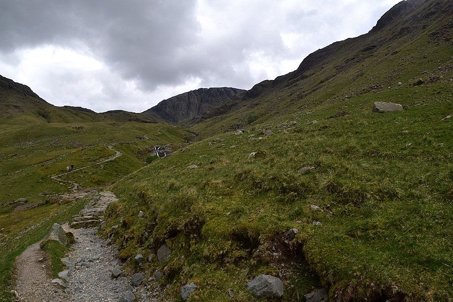
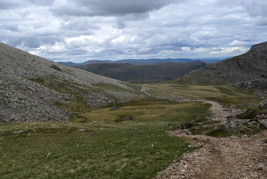
| Above the last cascade the gradient eases as the valley broadens |
 |
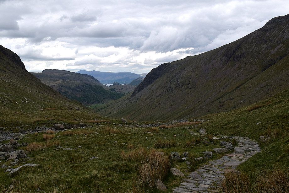
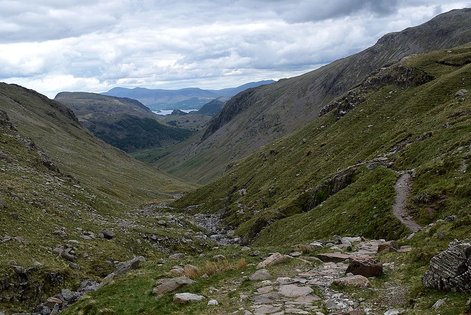
| Looking back along the route of ascent |
 |
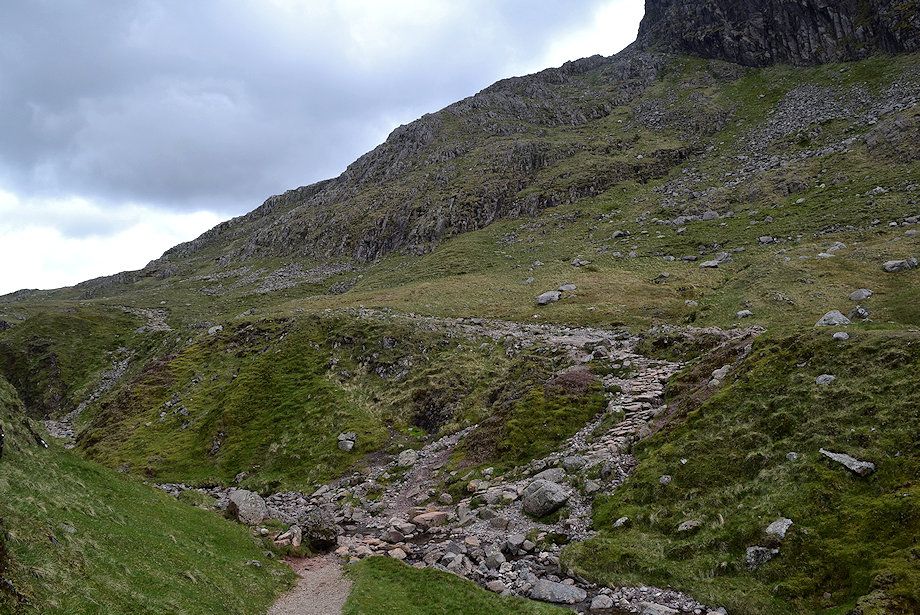
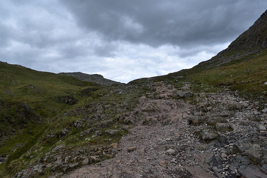
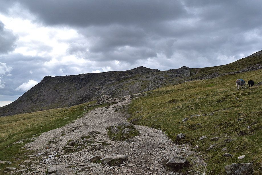
| The path approaches the Ruddy Gill ravine |
 |
| Looking back along the path through the ravine |
 |
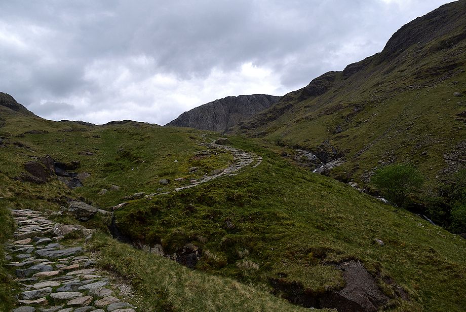
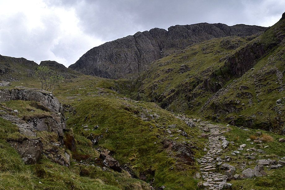
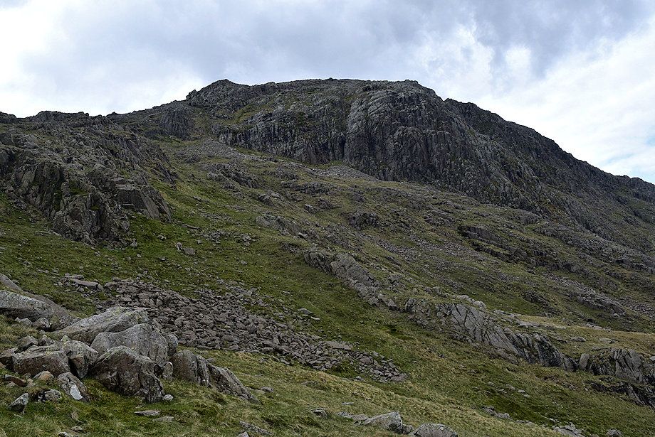
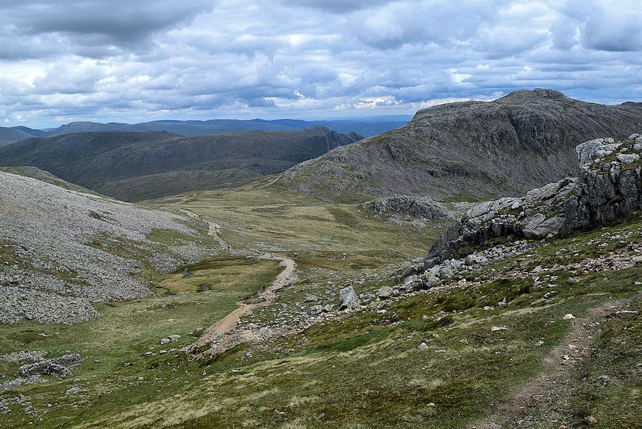
| Great End from near the top of the ravine |
 |
| Skiddaw and Blencathra on the horizon from the top of the ravine |
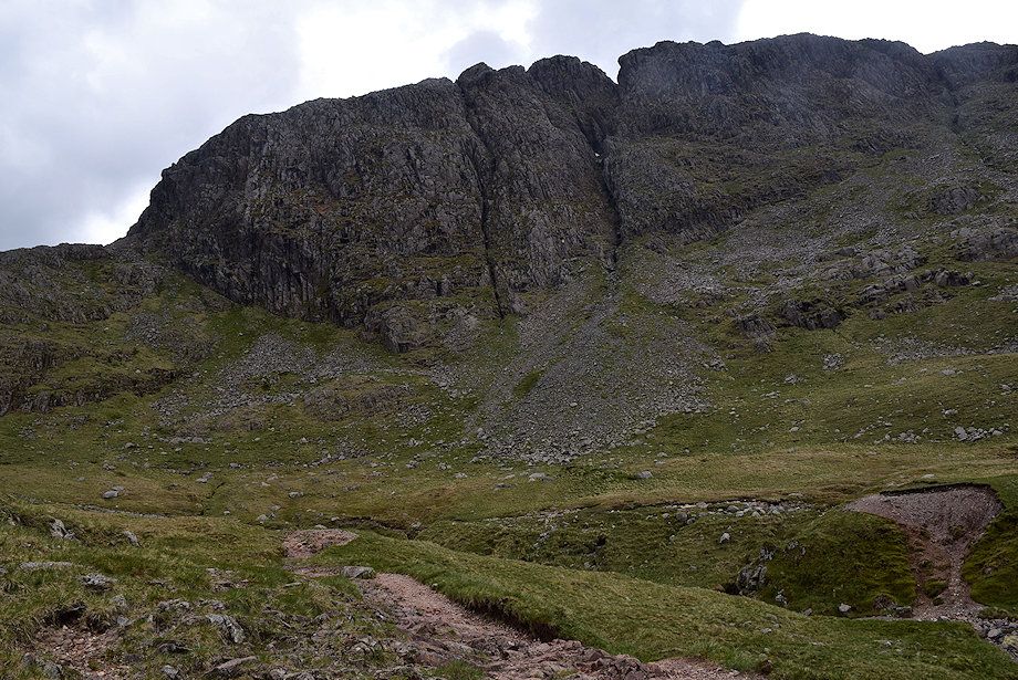 |
| Great End from the top of the ravine |
 |
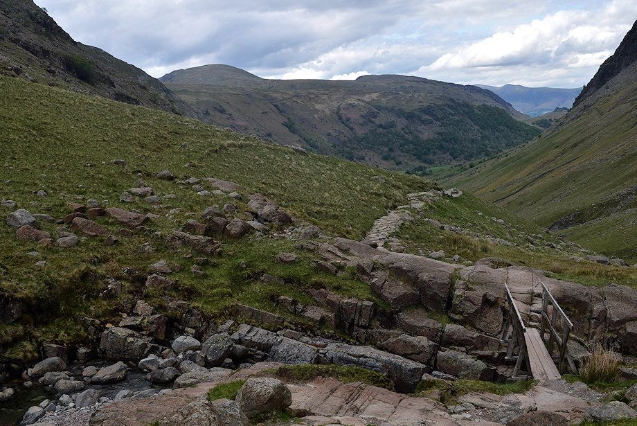
| The path crosses Ruddy Beck to join the bridleway rising from Sty Head |
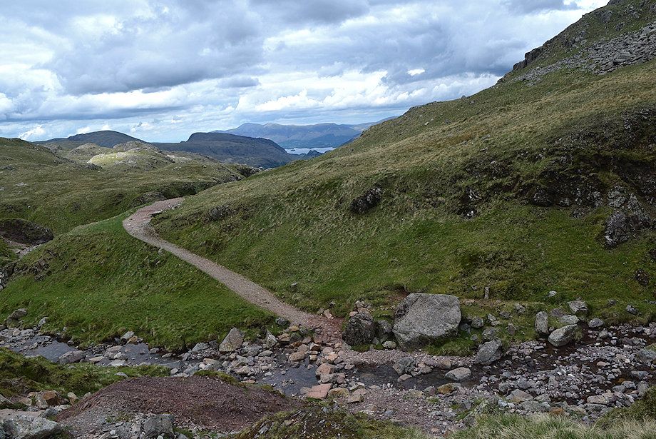 |
| Skiddaw and Derwent Water from the bridleway |
 |
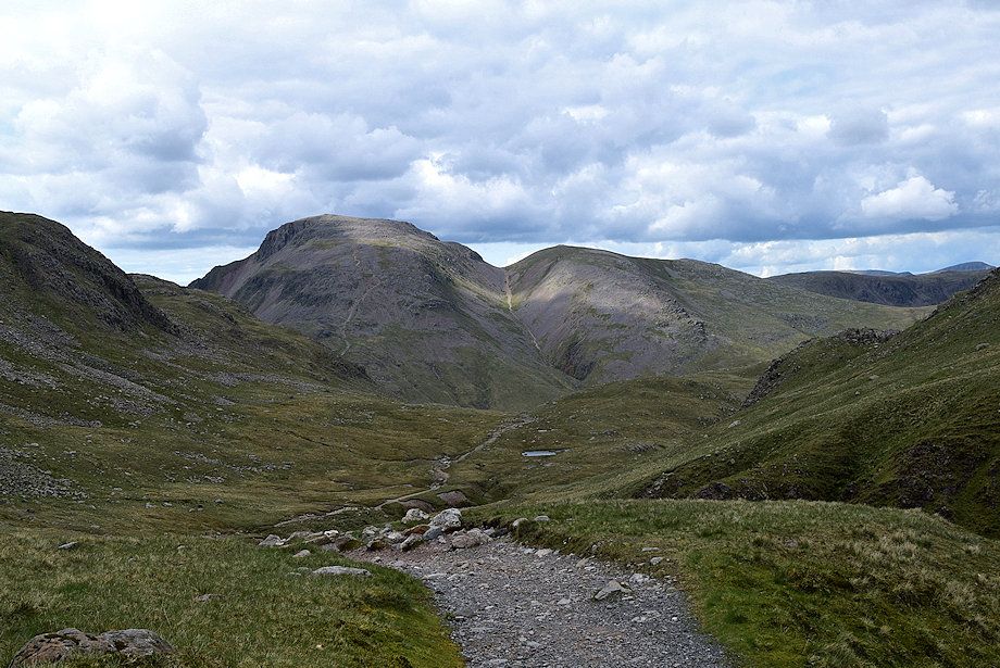
| Great Gable and Green Gable from the bridleway |
 |
| The bridleway, which leads to Great Langdale via Rossett Gill, follows the course of Ruddy Gill below the northern crags of Great End |
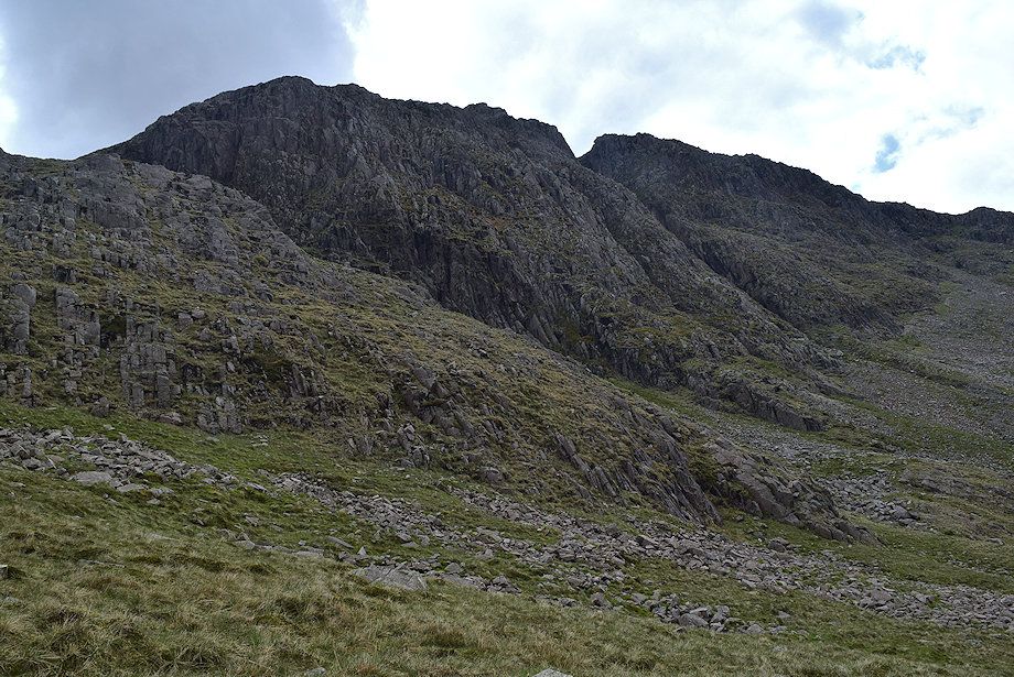 |
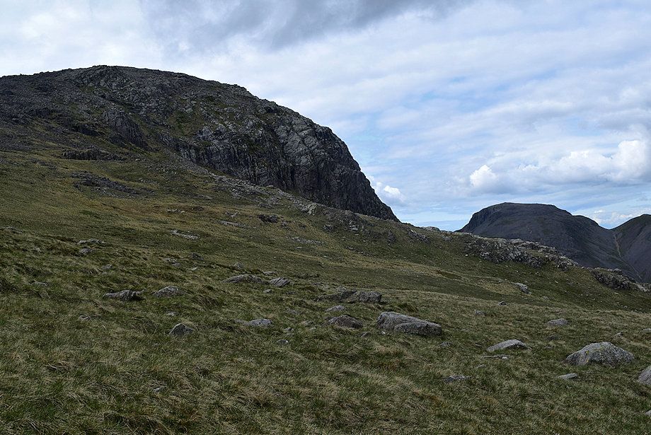
| The northern crags of Great End from the bridleway |
 |
| Allen Crags from the bridleway |
 |
| Looking back from the bridleway |
 |
| Allen Crags across Ruddy Gill |
 |
| The bridleway is only followed for about 350 yards until, just before reaching a ford, the path to Esk Hause branches off to the right |
 |
| Looking back to Great Gable and Green Gable |
 |
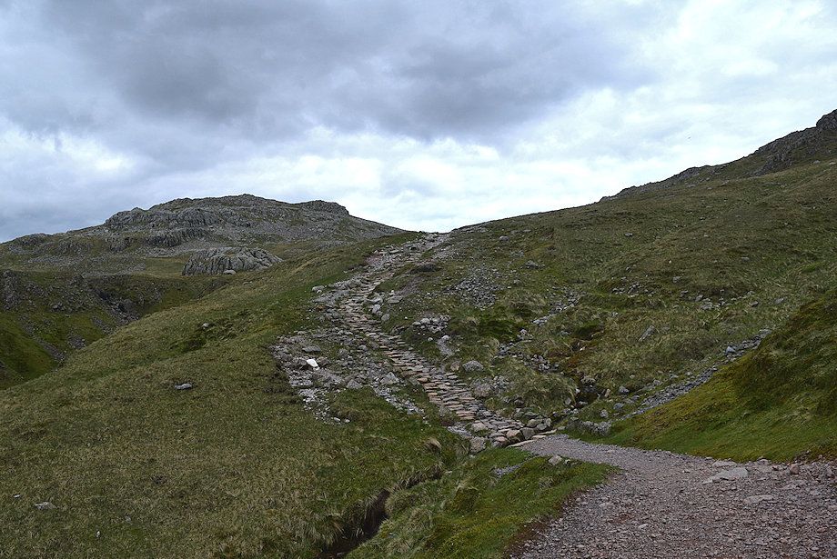
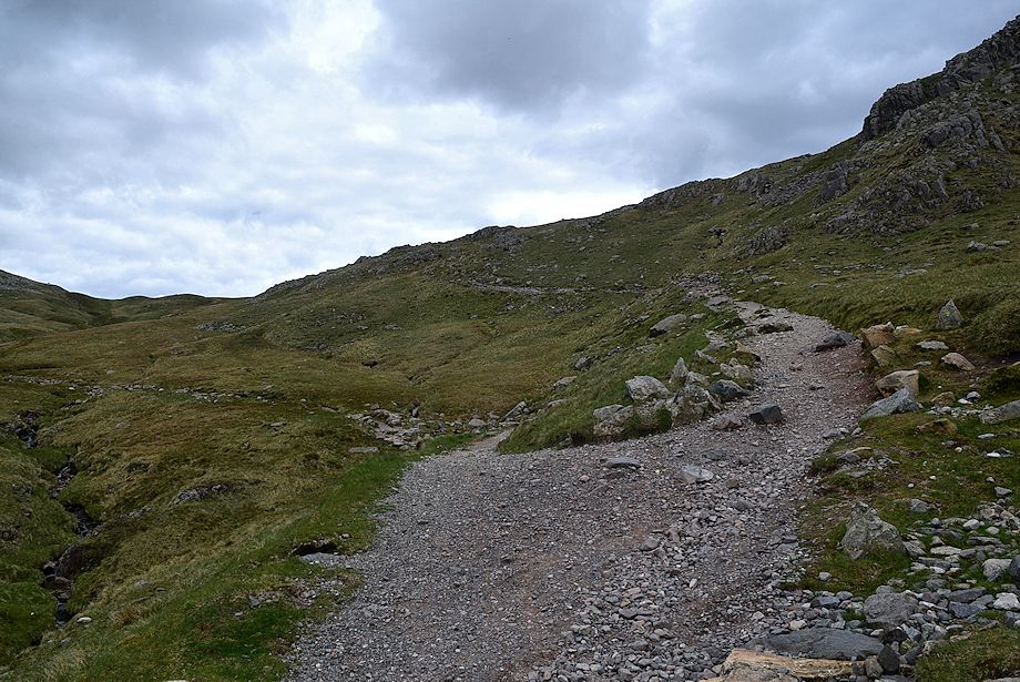
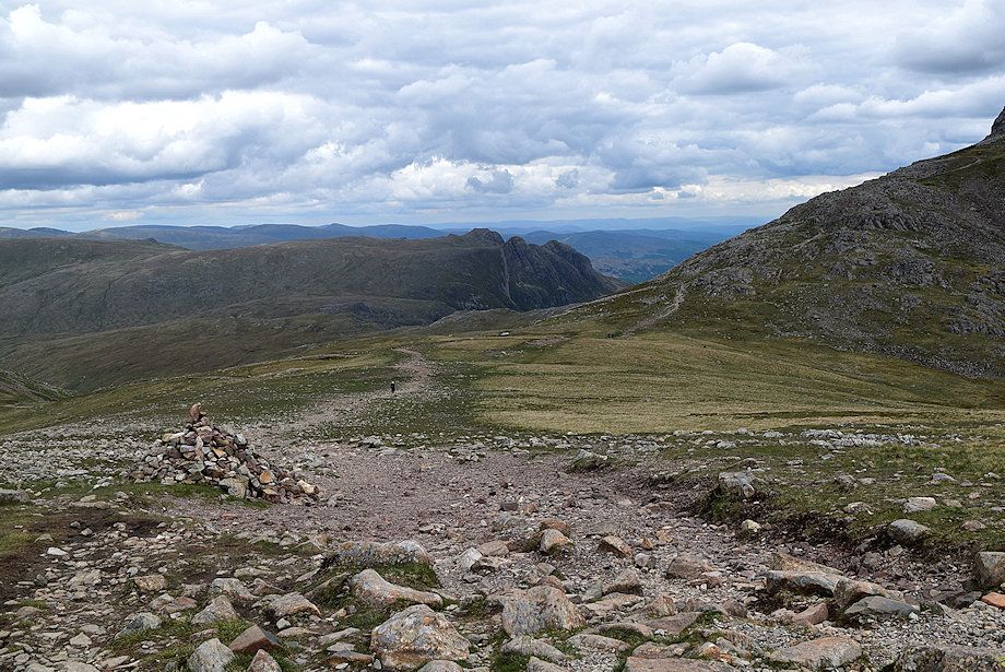
| The path to Esk Hause |
 |
| Allen Crags from the path to Esk Hause |
 |
| Skiddaw and Derwent Water from the path to Esk Hause |
 |
| Great End from the path to Esk Hause |
 |
| Sprinkling Tarn from the path to Esk Hause |
 |
| The summit of Esk Pike comes into view as the path approaches Esk Hause |
 |
| Looking over to Great End and Great Gable |
 |
| Skiddaw and Derwent Water from Esk Hause |
 |
| Allen Crags from Esk Hause |
 |
| The Langdale Pikes from Esk Hause |
 |
| Esk Pike from Esk Hause |
 |
| Harter Fell from Esk Hause |
 |
| Ill Crag from Esk Hause |
 |
| The path continues on from Esk Hause to Scafell Pike (and Great End) via Calf Cove |
 |
| The Helvellyn range over Allen Crags from the path to Calf Cove |
 |
| Skiddaw, Derwent Water and Blencathra from the path to Calf Cove |
 |
| The Langdale Pikes over Esk Hause from the path to Calf Cove |
 |
| Esk Pike from the path to Calf Cove |
 |
| Ill Crag from the path to Calf Cove |
 |
| Harter Fell from the path to Calf Cove |
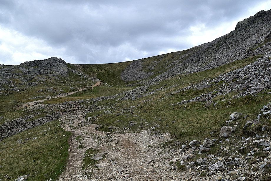 |
| Approaching the lip of Calf Cove |
 |
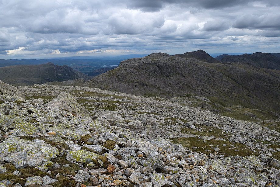
| Bowfell, Crinkle Crags and the Coniston Fells over the Esk Pike's south ridge from the lip of Calf Cove |
 |
| Esk Pike, Bowfell, Crinkle Crags and Coniston Old Man from the lip of Calf Cove |
 |
| Calf Cove |
 |
| Looking back from the path through Calf Cove |
 |
| Esk Pike, Bowfell and Crinkle Crags from Calf Cove |
 |
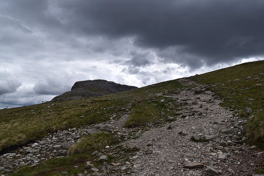
| Near the head of Calf Cove a thin path bears away to the right to climb the southern slopes of Great End |
 |
| Looking back from the head of Calf Cove |
 |
| Ill Crag, Scafell Pike and Broad Crag from the head of Calf Cove |
 |
| The Langdale Pikes, Esk Pike, Bowfell and Crinkle Crags from the path to Great End |
 |
| Scafell Pike over Broad Crag from the climb to Great End |
 |
| Coniston Old Man, Dow Crag, Harter Fell and Ill Crag from the path to Great End |
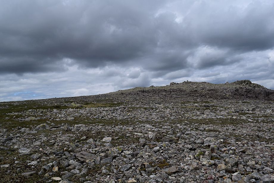 |
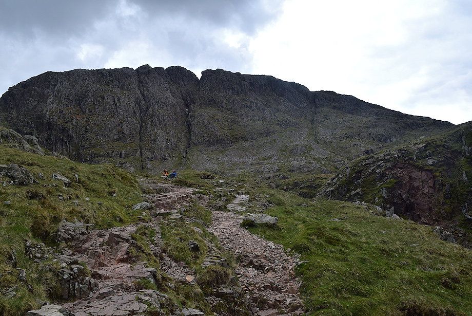
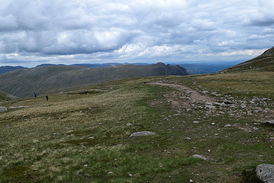
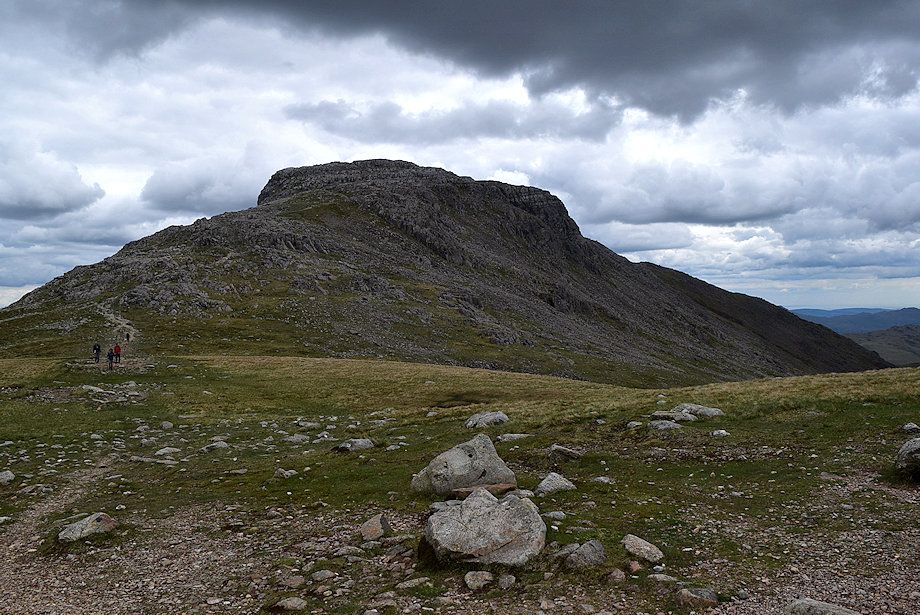
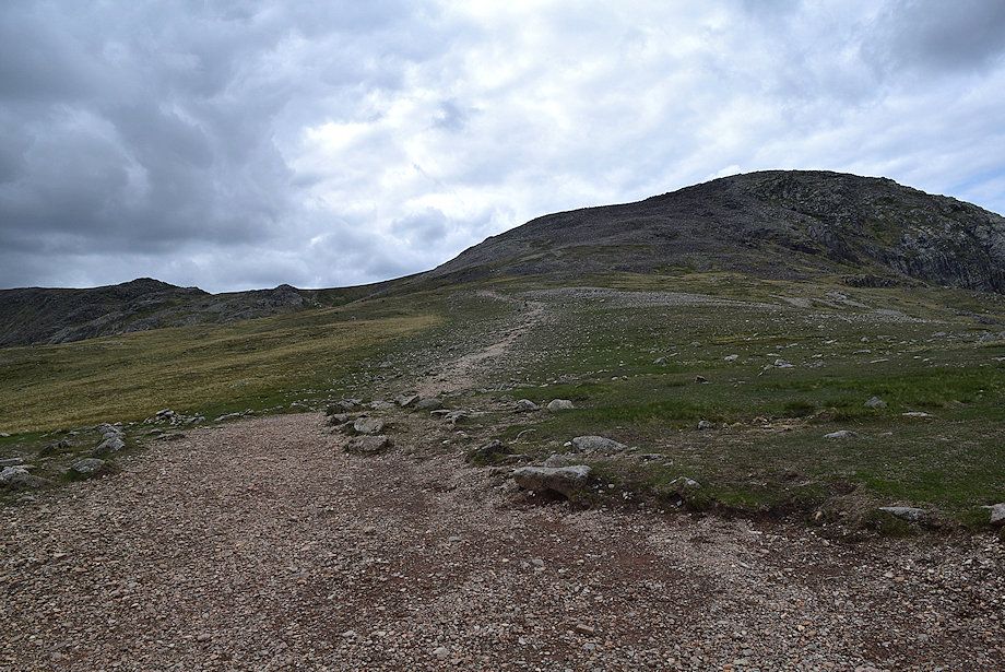
| Approaching the summit of Great End |
 |
| Ill Crag and Scafell Pike from near the summit of Great End |
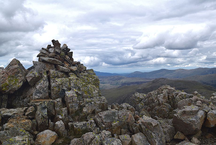 |
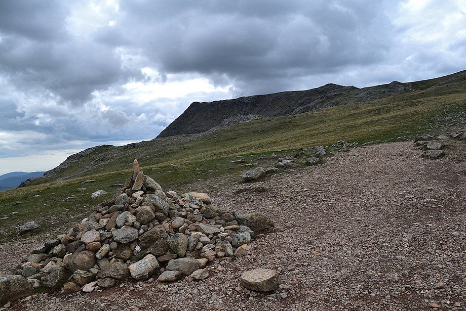
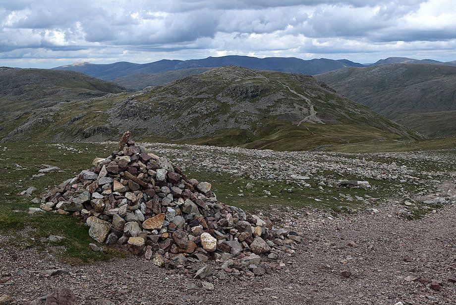
| The summit cairn on Great End |
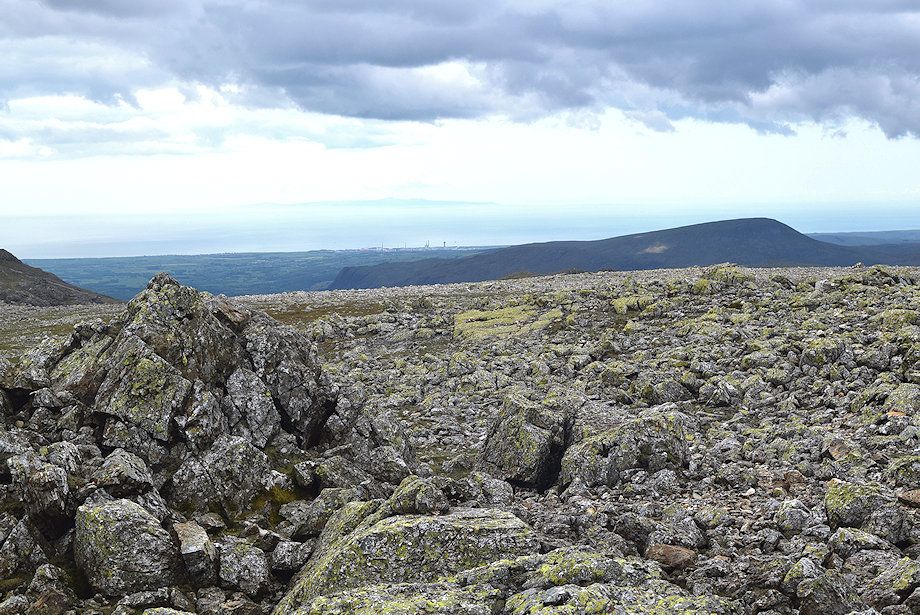 |
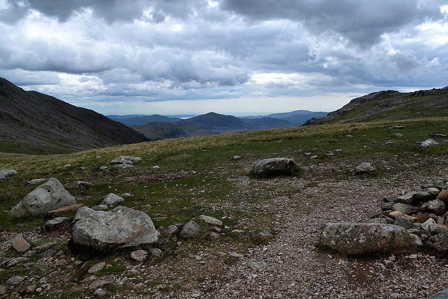
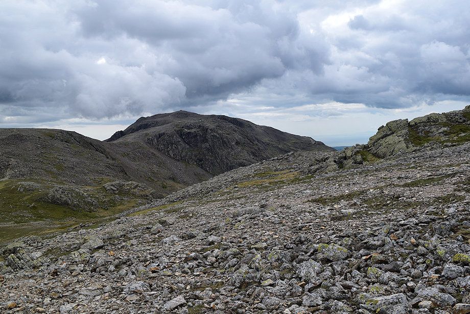
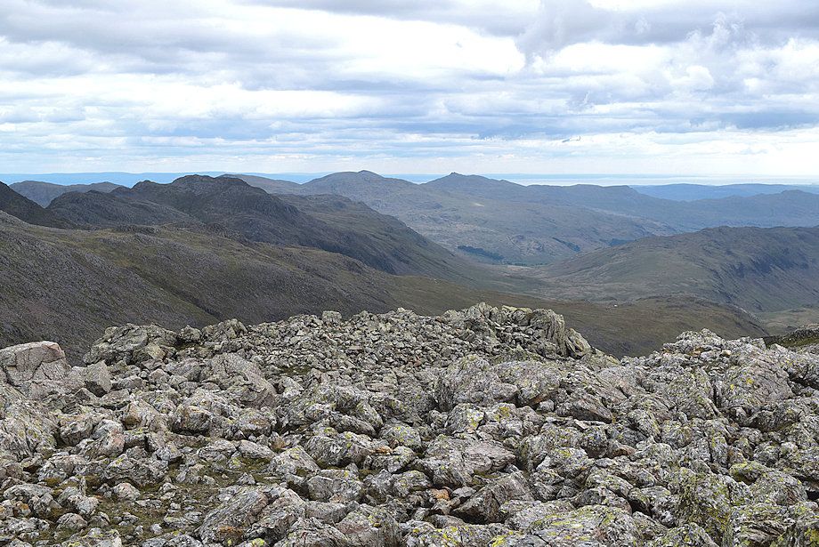
| Seatallen from the summit of Great End |
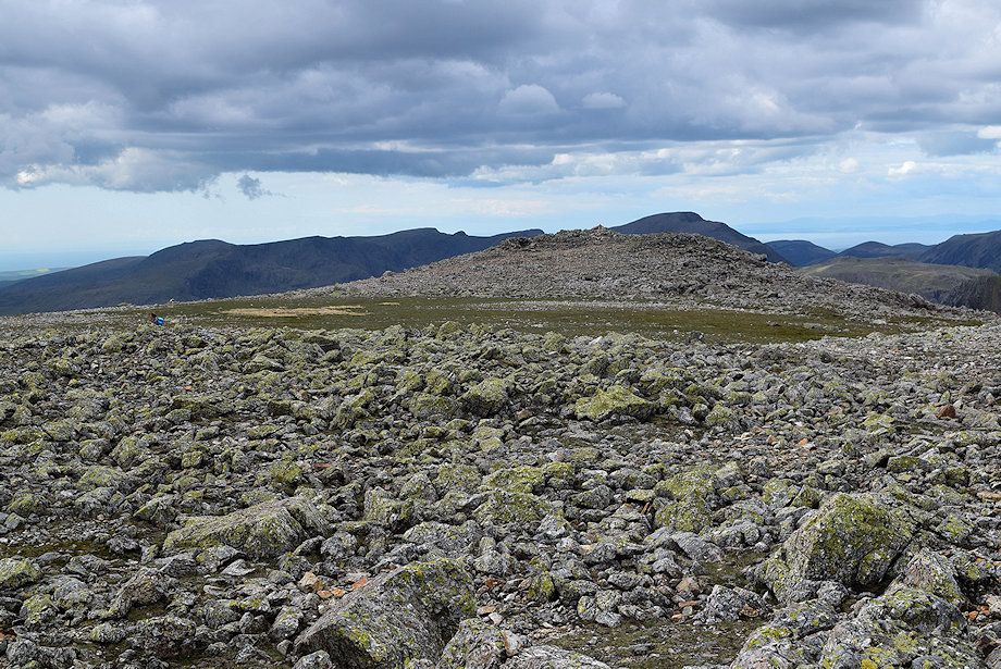 |
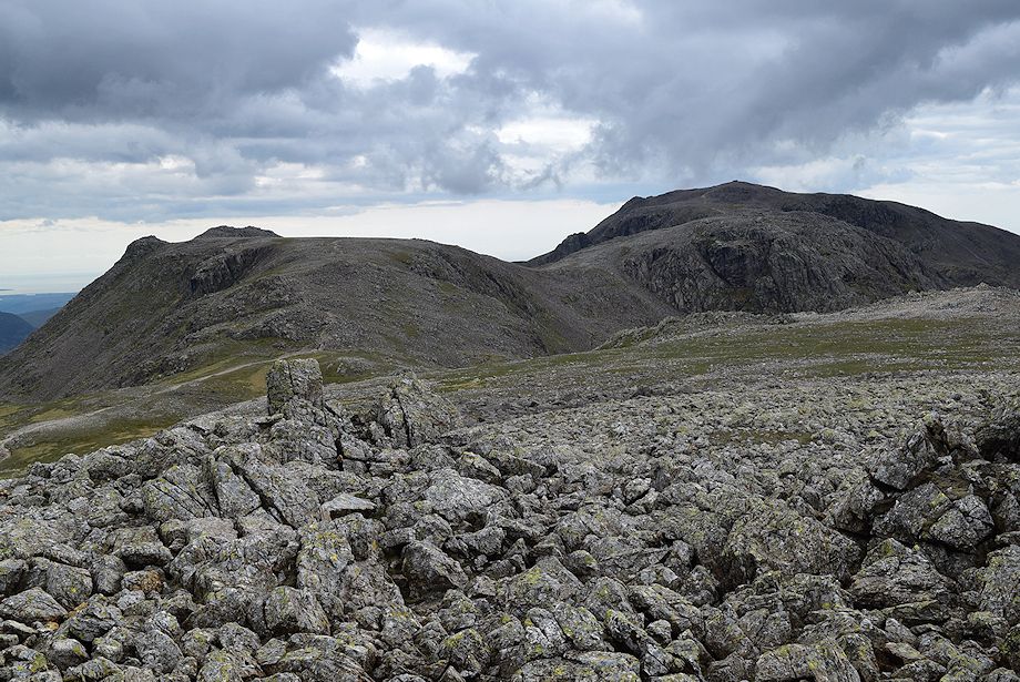
| The slightly lower north-western top from the summit of Great End |
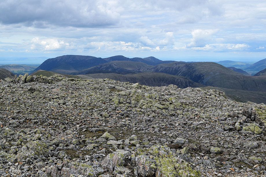 |
| The North Western Fells from the summit of Great End |
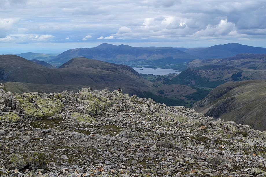 |
| Skiddaw, Derwent Water and Blencathra from the summit of Great End |
 |
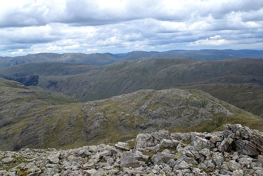
| The Helvellyn range over Glaramara from the summit of Great End |
 |
| The Helvellyn and Fairfield groups of fells over the summits of Allen Crags and High Raise |
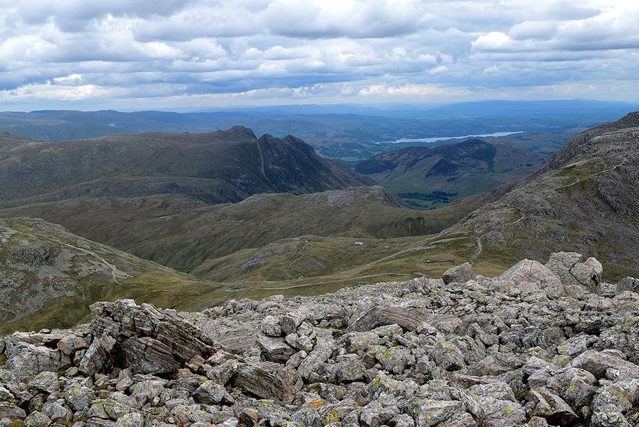 |
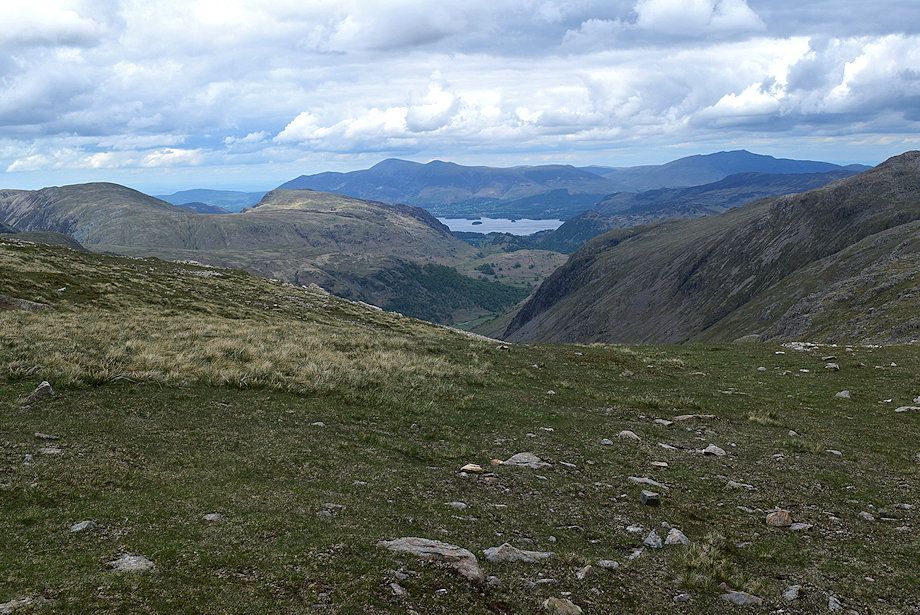
| The Langdale Pikes and Windermere from the summit of Great End |
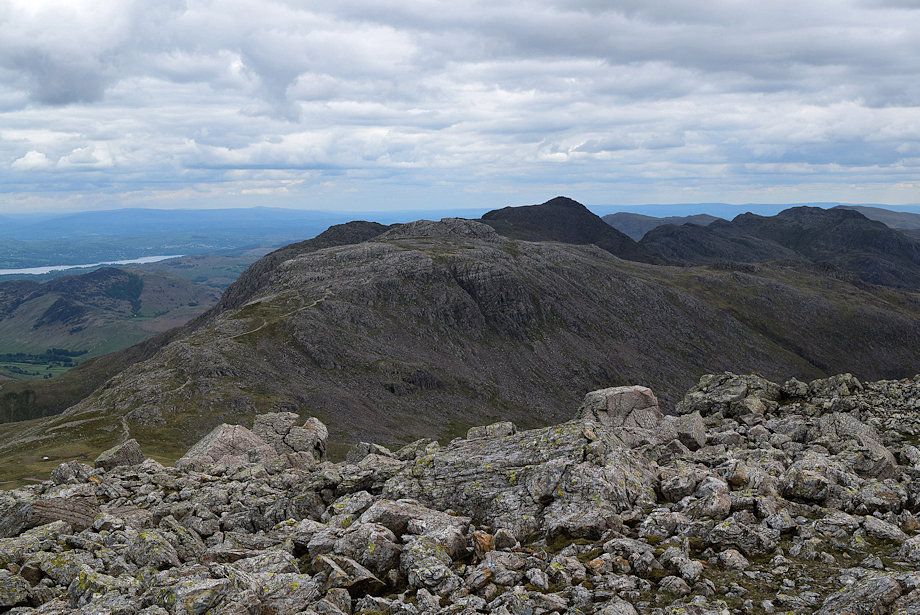 |
| Esk Pike, Bowfell and Crinkle Crags from the summit of Great End |
 |
| Brim Fell, Coniston Old Man and Dow Crag from the summit of Great End |
 |
| Ill Crag, Broad Crag and Scafell Pike from the summit of Great End |
