 |
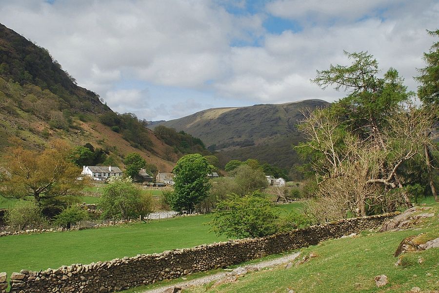
| The hamlet of Stonethwaite at the start of the walk |
 |
| To the left of the telephone kiosk is a walled lane that is signposted 'Greenup and Grasmere', which crosses over Stonethwaite Bridge |
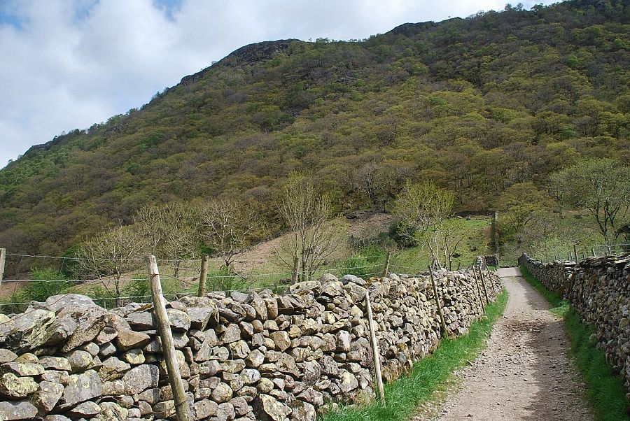 |
| The wooded slopes of Great Crag from the lane |
 |
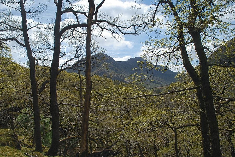
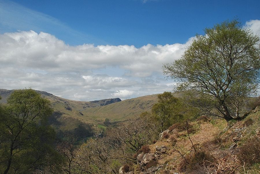
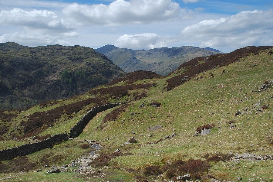
| Looking across to Greenup Gill and Eagle Crag from the lane |
 |
| Stonethwaite Beck from the bridge |
 |
| Looking back to Stonethwaite from the end of the lane |
 |
| The lane joins the bridleway which runs between Borrowdale and Grasmere via Greenup Edge |
 |
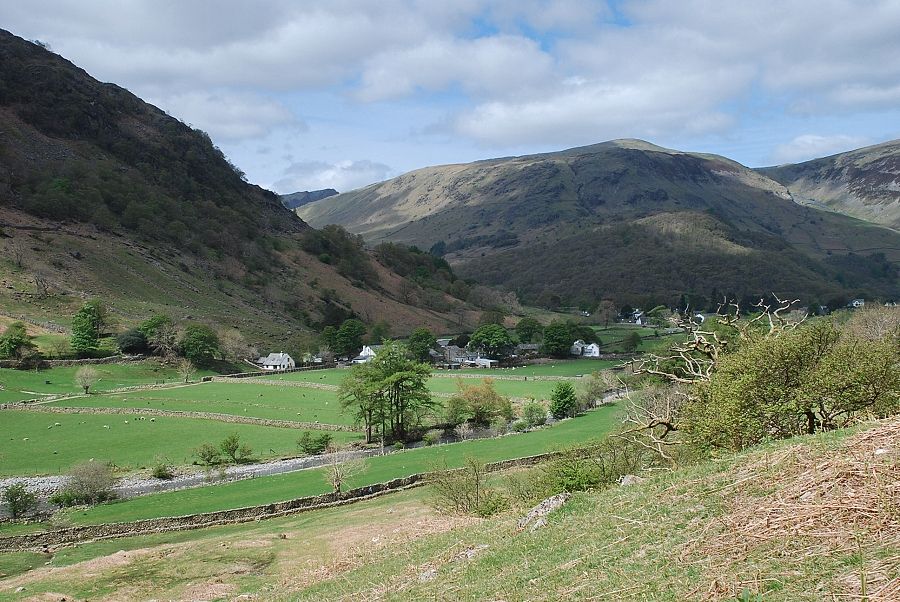
| Looking back to Stonethwaite from the bridleway |
 |
| The bridleway is only followed for a few hundred yards before leaving it for a path which turns off to the left beside a sheepfold |
 |
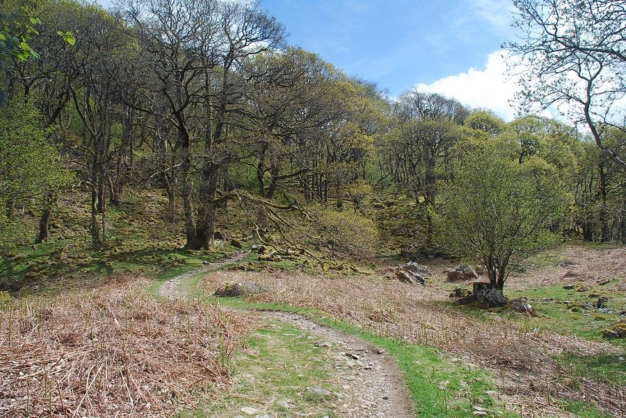
| The path rises across an open pasture towards the woods above it |
 |
| Looking over to Big Stanger Gill on Rosthwaite Fell |
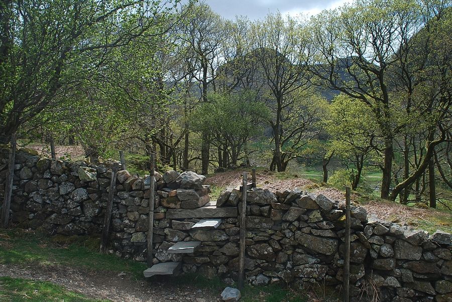 |
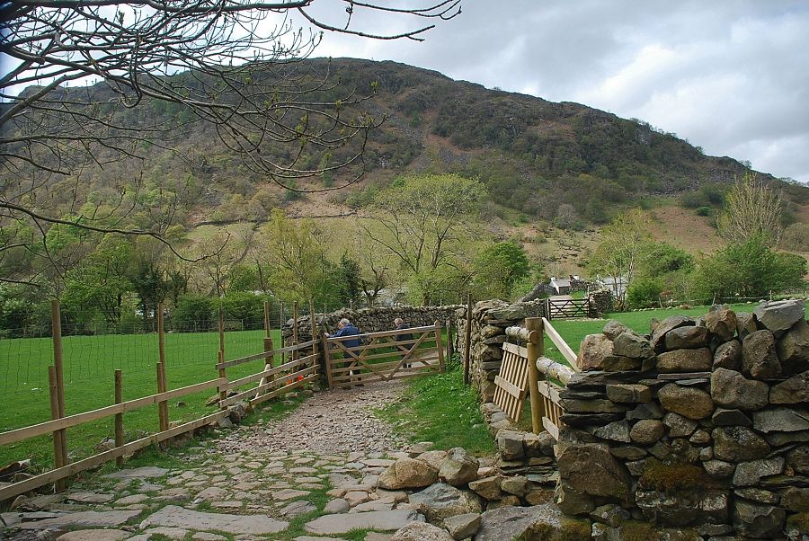
| A stile at the top end of the pasture gives access to the wood |
 |
| Looking back to Stonethwaite from the stile |
 |
| From the stile a clear path leads through the wood towards Willygrass Gill |
 |
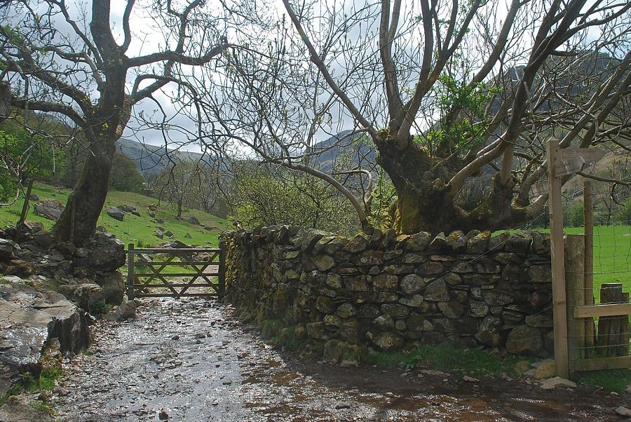
| After a few hundred yards another stile is crossed and the path begins to climb alongside Willygrass Gill |
 |
| Eagle Crag and Sergeant's Crag through the trees in Willygrass Gill |
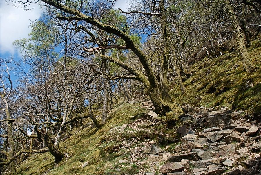 |
| The path soon turns away from Willygrass Gill and climbs steeply through the wood towards Lingy End |
 |
| Grey Knotts and the top of Honister Crag appear through a gap in the trees |
 |
| Looking back along the steep path |
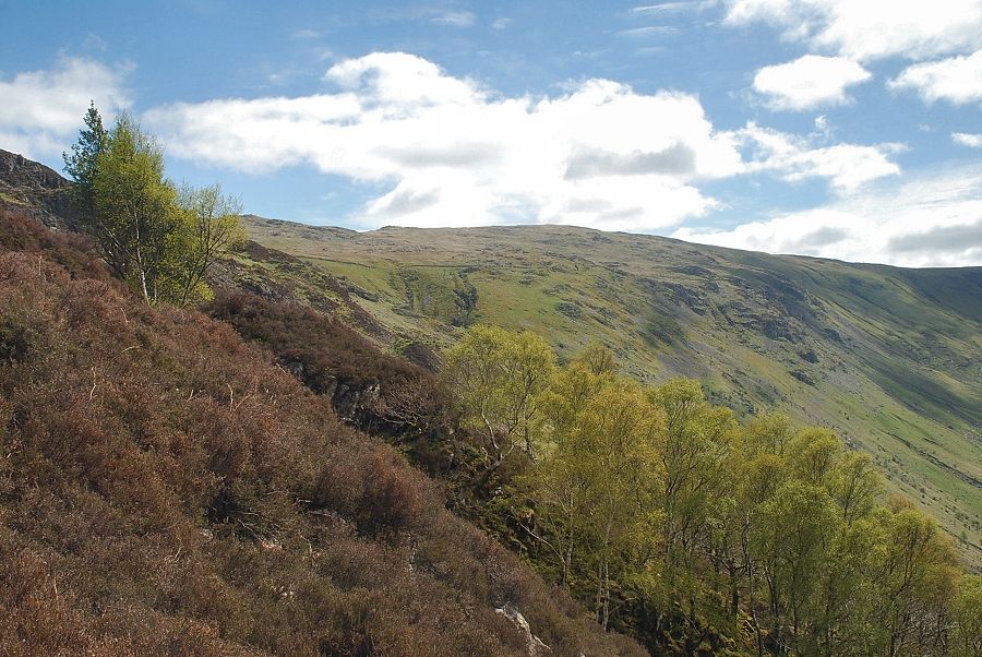 |
| Looking across to Ullscarf |
 |
| Grey Knotts, Honister Crag and Dale Head from near the top of Lingy End |
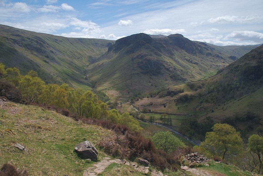 |
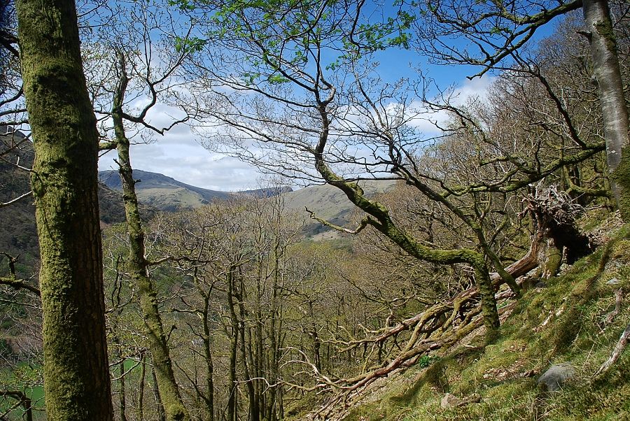
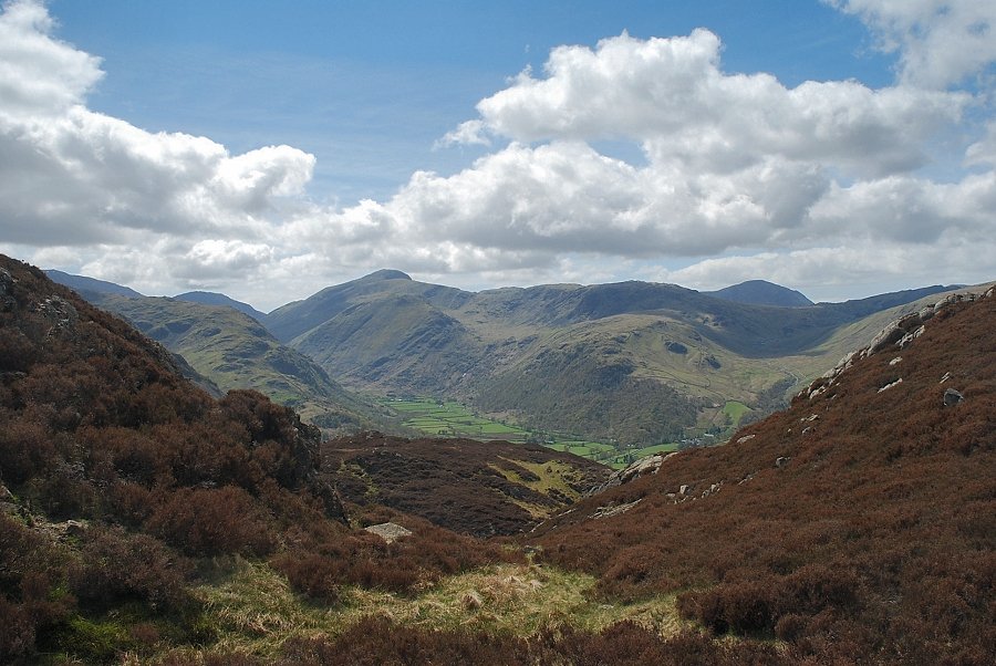
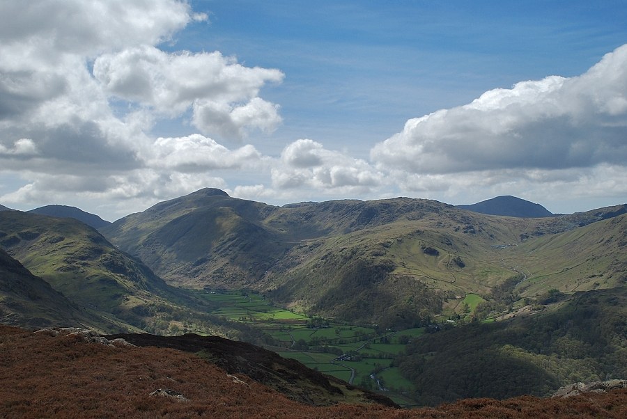
| Looking back to Greenup Gill, Eagle Crag and Sergeant's Crag as the path emerges from the wood |
 |
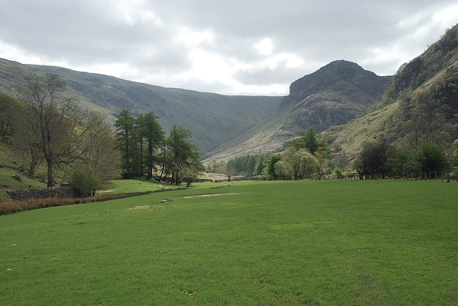
| Rosthwaite Fell across the Stonethwaite Valley |
 |
| Grey Knotts, Honister Crag and Dale Head across Borrowdale |
 |
| Approaching the top of Lingy End |
 |
| Eagle Crag and Sergeant's Crag from the ruined hut on Lingy End |
 |
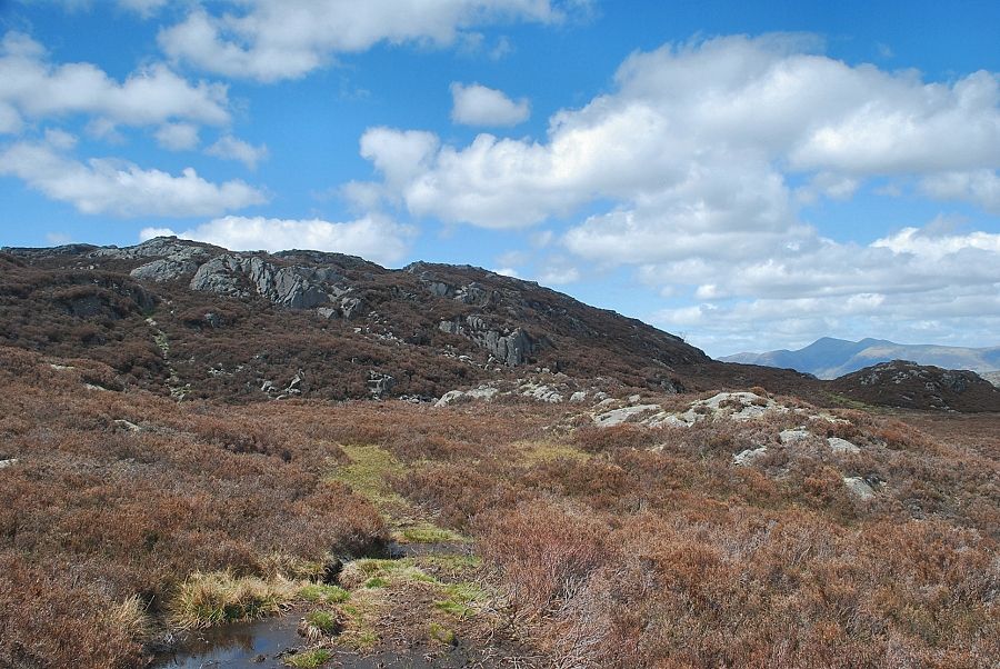
| The path continues on below the rocky outcrops of Knotts |
 |
| Looking over to High Crag from the path below Knotts |
 |
| The path meets and skirts around a re-entrant of Willygrass Gill |
 |
| High Crag from the path rising out of the re-entrant gill |
 |
| Eagle Crag and Sergeant's Crag from the head of the re-entrant gill |
 |
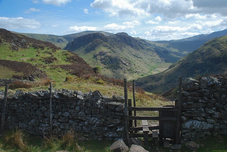
| Looking back across the re-entrant gill towards Great Gable |
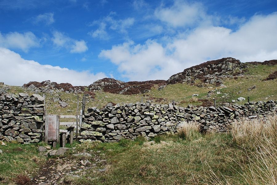 |
| Above the re-entrant gill the path crosses a stile in a substantial wall to emerge onto the upper slopes of the fell |
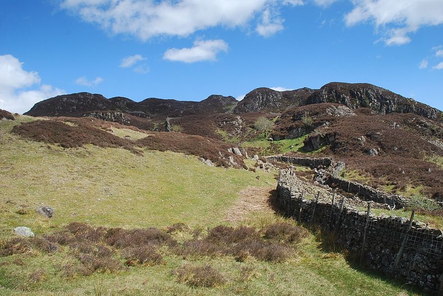 |
| High Crag from the stile |
 |
| Looking back to Eagle Crag and Sergeant's Crag from the stile |
 |
| From the stile the path continues on to rejoin Willygrass Gill |
 |
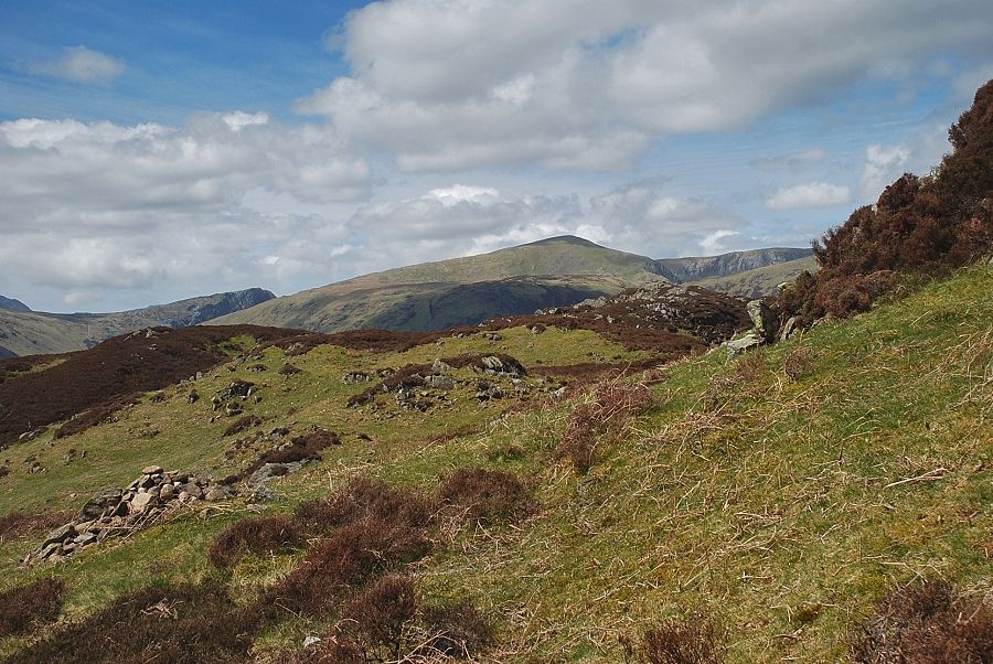
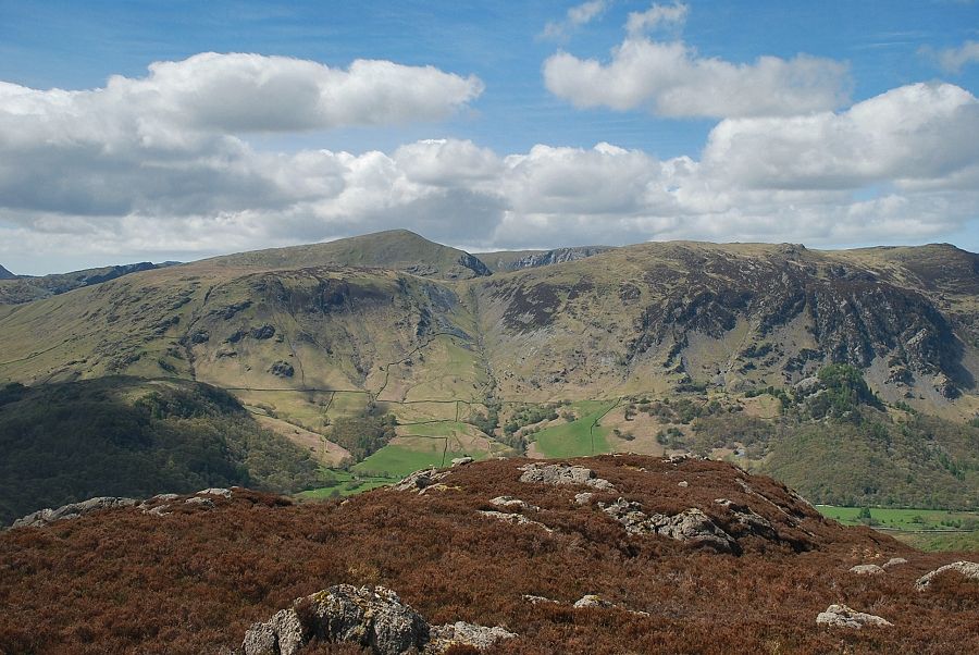
| Looking over Knotts towards Dale Head and High Spy |
 |
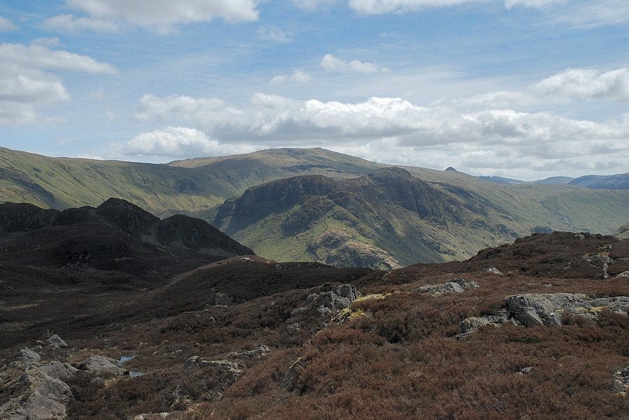
| Looking back towards Great Gable, with Brandreth and Grey Knotts above the hanging valley of Gillercombe |
 |
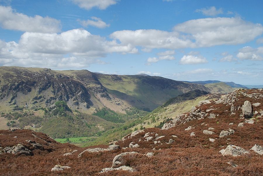
| Looking back towards Langstrath with Crinkle Crags and Bowfell on the horizon |
 |
| Honister Crag and Dale Head |
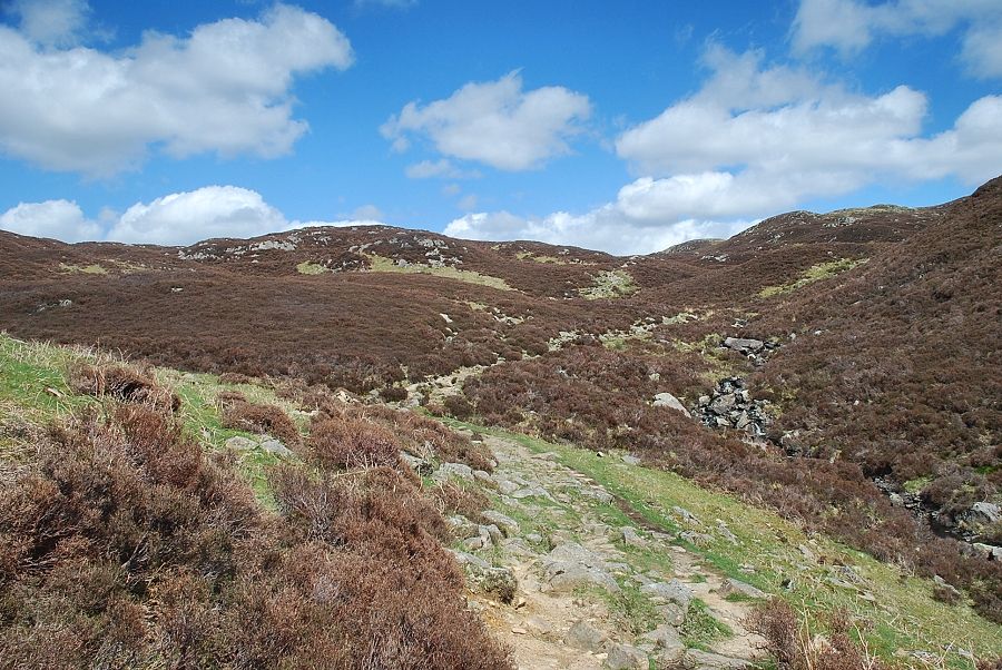 |
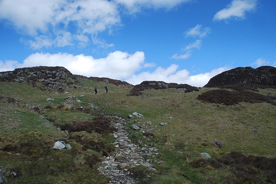
| The path climbs alongside Willygrass Gill towards Dock Tarn |
 |
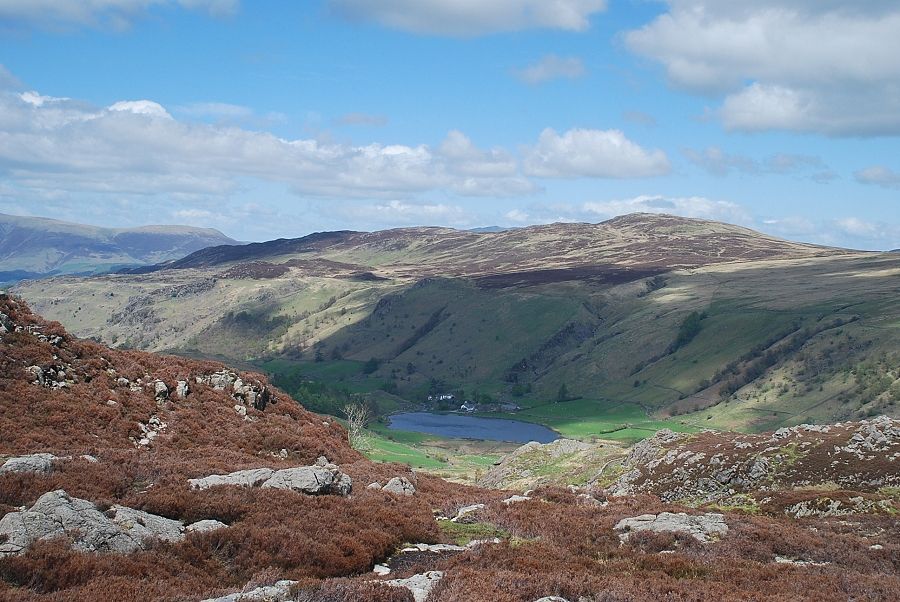
| Dock Tarn |
 |
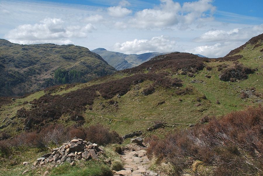
| The main path alongside the western shore of Dock Tarn leads to Watendlath. At the northern end of the tarn a path, with an indistinct start, turns off to the left and heads north-westwards towards the summit of Great Crag |
 |
| Dock Tarn from the north |
 |
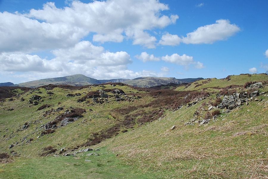
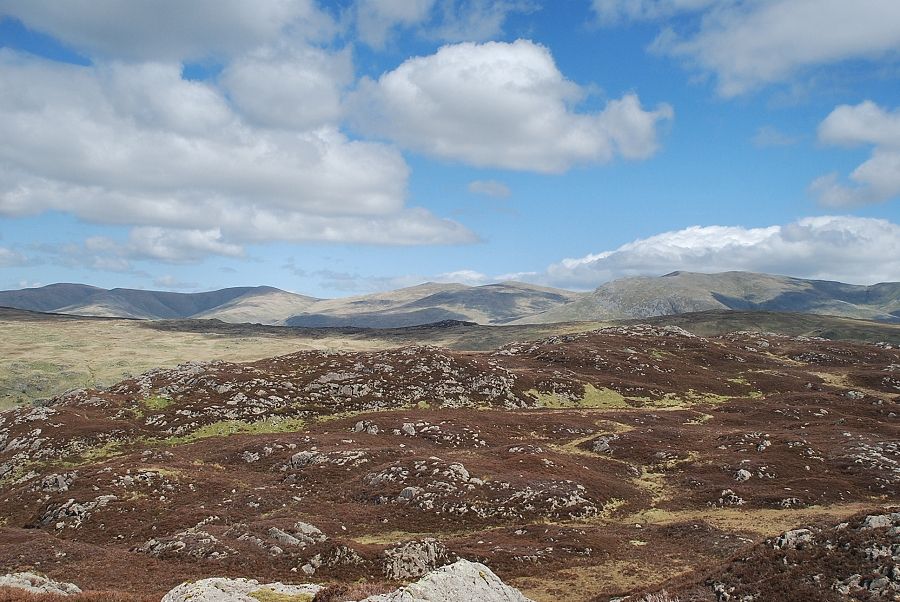
| Approaching the summit ridge of Great Crag |
 |
| Borrowdale from the path to the summit of Great Crag |
 |
| The summit of Great Crag |
 |
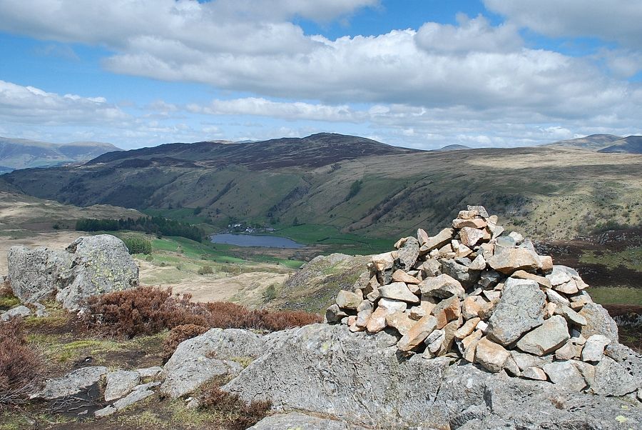
| Watendlath from the summit of Great Crag |
 |
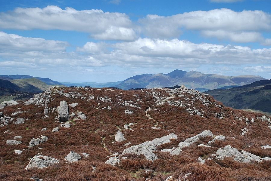
| Great Dodd, Watson's Dodd and Stybarrow Dodd on the left, Raise and White Side in the centre with Helvellyn on the right |
 |
| Dock Tarn and Ullscarf |
 |
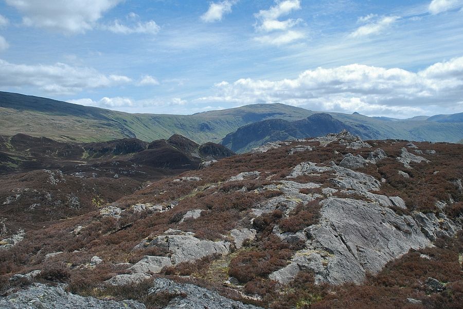
| Eagle Crag and Sergeant's Crag backed by High Raise |
 |
| Rosthwaite Fell and Glaramara in the centre with Crinkle Crags and Bowfell to the left and Scafell Pike and Lingmell on the right |
 |
| The upper Borrowdale valley from the summit of Great Crag |
 |
| Dale Head and High Spy |
 |
| In the centre, the summit of Grisedale Pike appears over Maiden Moor |
 |
| Skiddaw over the north top of Great Crag |
 |
| The main summit of Great Crag from the north top |
 |
| Watendlath, backed by Bleaberry Fell and High Seat from the north top of Great Crag |
