
| Great Cockup - Route One |
| Start - Longlands NY 265 358 | Distance - 2.3 miles | Ascent - 1,190 feet | Time - 1 hour : 30 minutes |
 |
| The small parking area beside Longlands Beck Bridge at the start of the walk |
 |
| A gate gives access onto the old road leading to Green Head |
 |
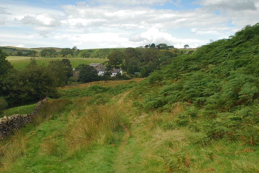
| After the gate we turn immediately right and follow the wall beside Longlands Beck |
 |
| Looking back to Longlands |
 |
| Great Cockup soon comes into view as the path passes below the slopes of Longlands Fell |
 |
| The summit of Skiddaw appears over the depression between Great and Little Cockup as the path continues below the slopes of Lowthwaite Fell |
 |
| Looking back to Longlands Fell |
 |
| Great Cockup from the path below Lowthwaite Fell, the summit appears in the centre with the slightly lower east top on the left |
 |
| Great Cockup above the course of the River Ellen |
 |
| Meal Fell from the path below Lowthwaite Fell, the pass of Trusmadoor can be seen on the right above the moraines |
 |
| Looking over to Binsey |
 |
| The path descends towards the River Ellen, which at this point is just a narrow stream |
 |
| Trusmadoor and the east top of Great Cockup |
 |
| Looking along the upper valley of the River Ellen to Little Sca Fell |
 |
| Looking back along the path after crossing the River Ellen |
 |
| The path traverses across the slopes of Meal Fell towards Trusmadoor |
 |
| Approaching the pass of Trusmadoor |
 |
| Looking back to the Solway coast from just below Trusmadoor |
 |
| Trusmadoor |
 |
| Burn Tod from Trusmadoor |
 |
| The start of the ascent from Trusmadoor |
 |
| The path climbs the edge of the escarpment avoiding the broken crags and scree which overlook Trusmadoor |
 |
| Climbing the escarpment to reach the ridge line above Trusmadoor |
 |
| Skiddaw from the climb to the ridge line |
 |
| Looking back to Frozenfell Gill |
 |
| Lowthwaite Fell from the top of the escarpment |
 |
| Meal Fell from the top of the escarpment |
 |
| From the top of the escarpment a clear path leads up to the east top |
 |
| Looking back on the ascent to the east top |
 |
| Longlands Fell and Lowthwaite Fell from the climb to the east top |
 |
| Looking over to Skiddaw from just below the east top |
 |
| Meal Fell backed by Little and Great Sca Fell from the east top of Great Cockup |
 |
| Approaching the summit of Great Cockup |
 |
| Bassenthwaite Lake from the summit of Great Cockup |
 |
| Binsey from the summit of Great Cockup |
 |
| To the north, Longlands Fell and Lowthwaite Fell |
 |
| Little Sca Fell and Great Sca Fell over Meal Fell |
 |
| Great Sca Fell and Knott |
 |
| To the south-east the summits of Blencathra and Great Calva appear over Little Calva |
 |
| Skiddaw from the summit of Great Cockup |
|