
| Great Carrs - Route One |
| Start - Little Langdale NY 316 033 | Distance - 4 miles | Ascent - 2,140 feet | Time - 2 hours : 45 minutes |
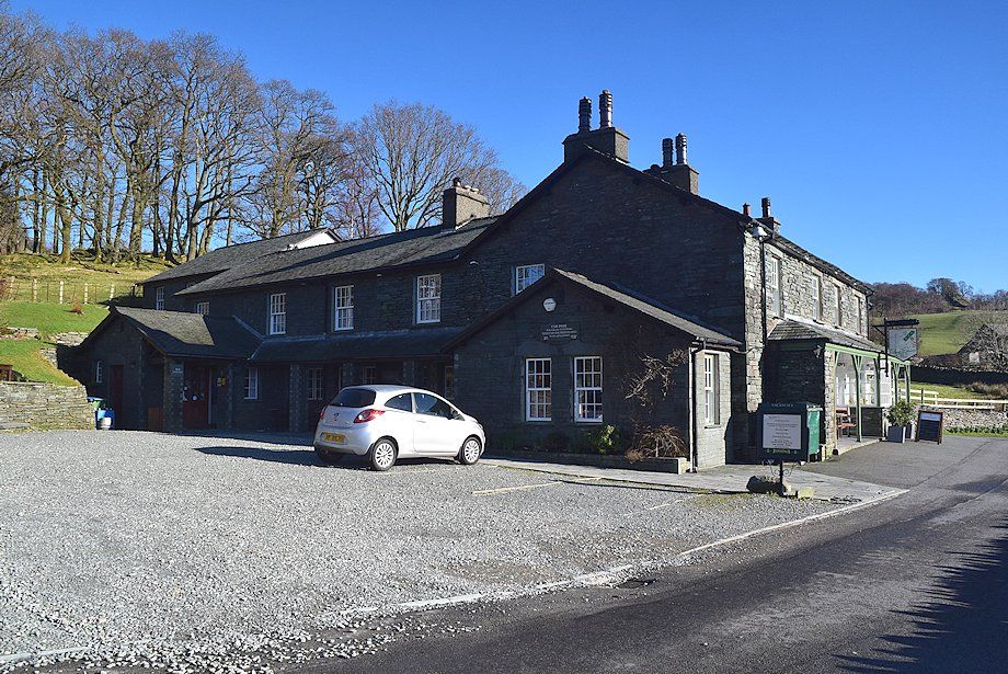 |
| The Three Shires Inn is the starting point for this walk. Parking in the hamlet of Little Langdale is very limited. There are a few places by the side of the road above the telephone box and opposite the Tilberthwaite road junction |
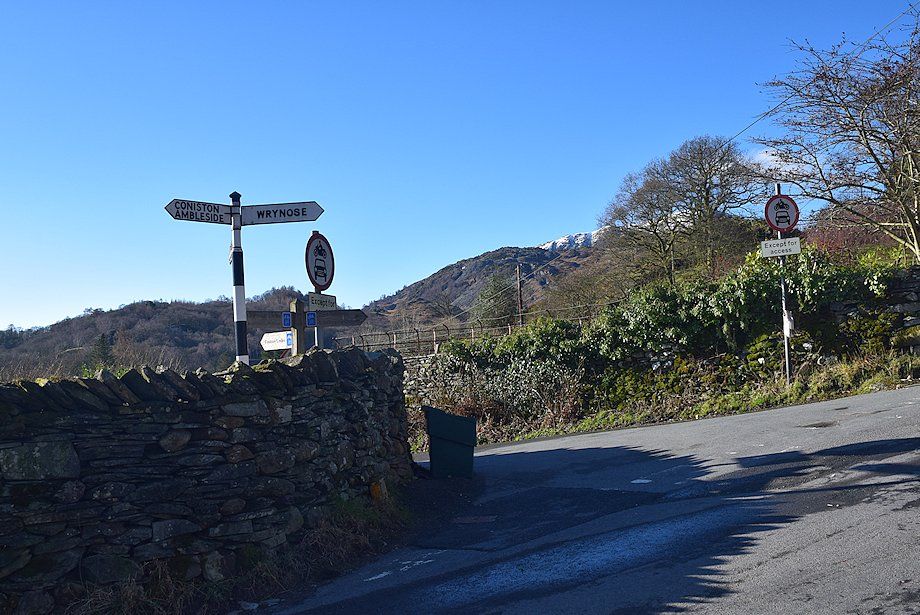 |
| The Tilberthwaite road junction, a few yards to the west of the Three Shires Inn |
 |
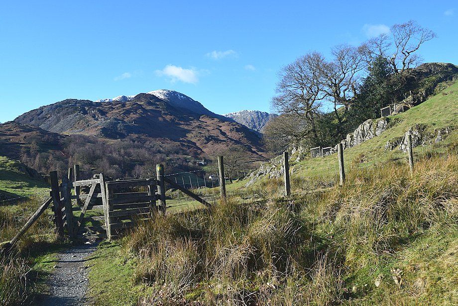
| Follow the Tilberthwaite road for 120 yards to a stile in the wall and a footpath to Slater's Bridge |
 |
| Looking back towards the hamlet of Little Langdale from the footpath to Slater's Bridge |
 |
| Wetherlam and Great Carrs come into view as the path reaches a handgate before descending towards Slater's Bridge |
 |
| Descending to cross Slater's Bridge |
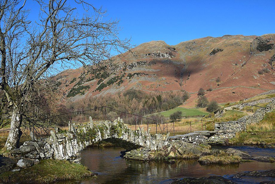 |
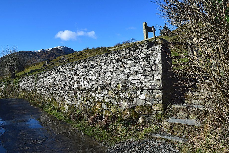
| Slater's Bridge |
 |
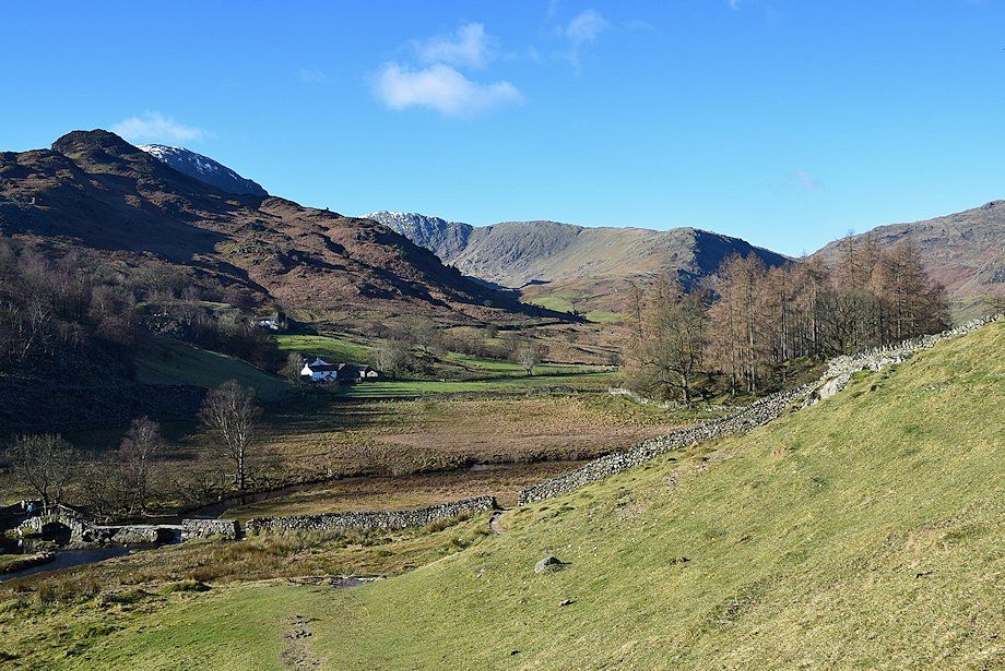
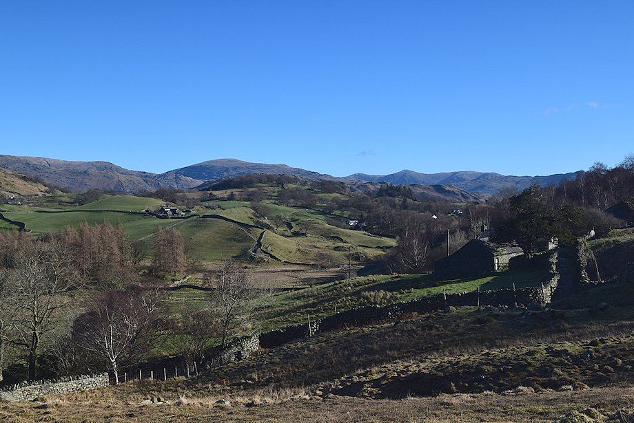
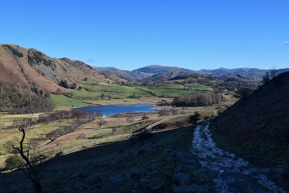
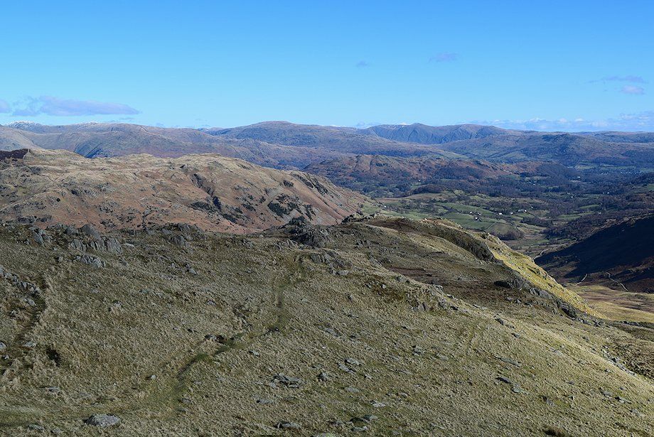
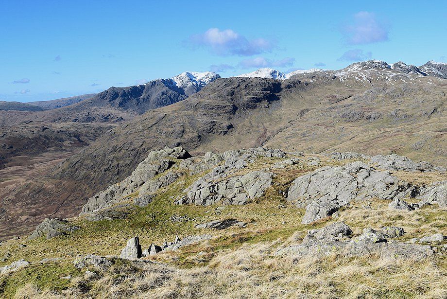
| The path crosses the field above Slater's Bridge to join a a walled track which leads to Low and High Hall Garth. The view ahead is dominated by Blake Rigg, an outlying top of Pike o' Blisco |
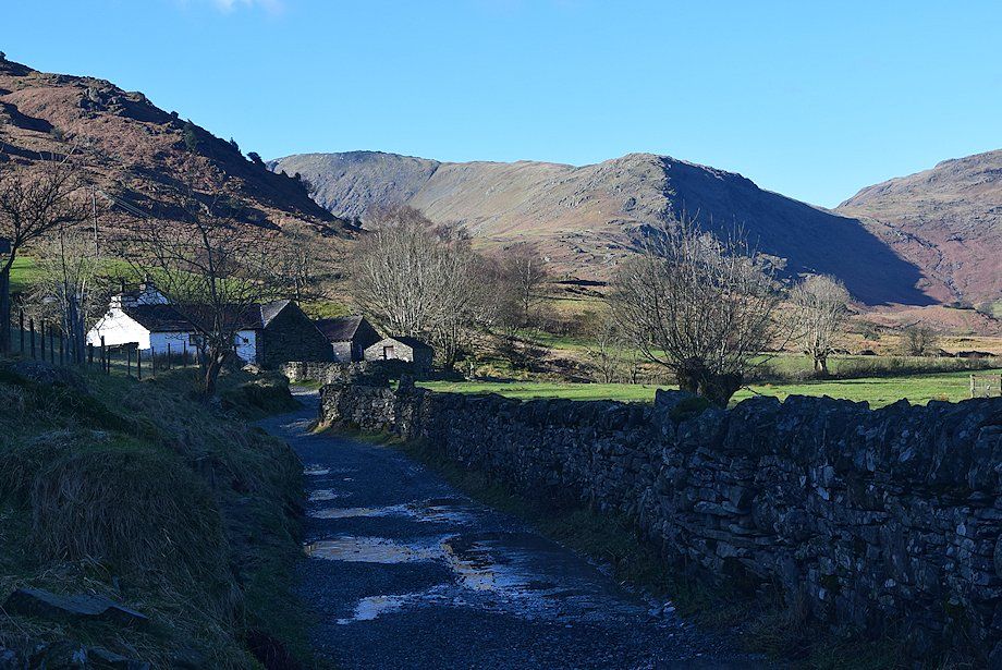 |
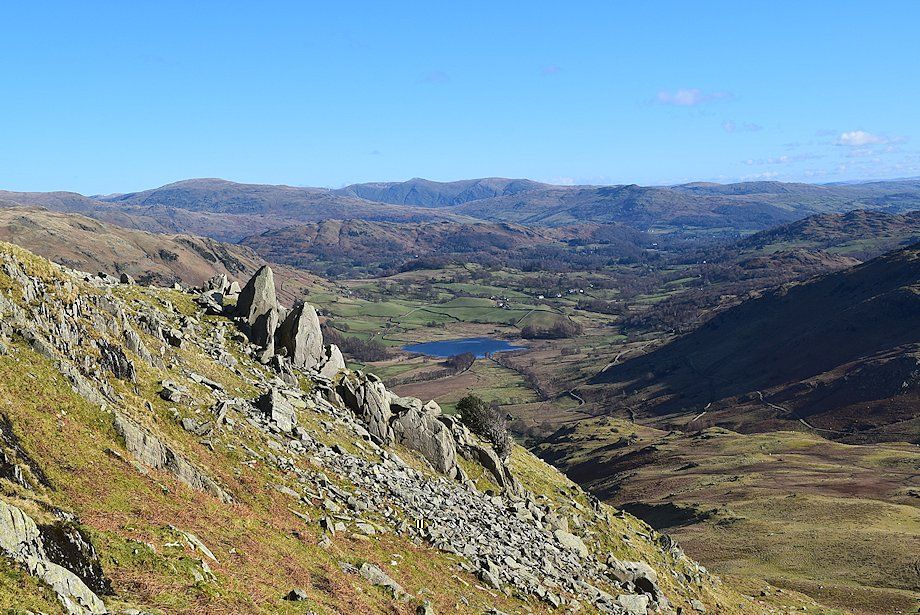
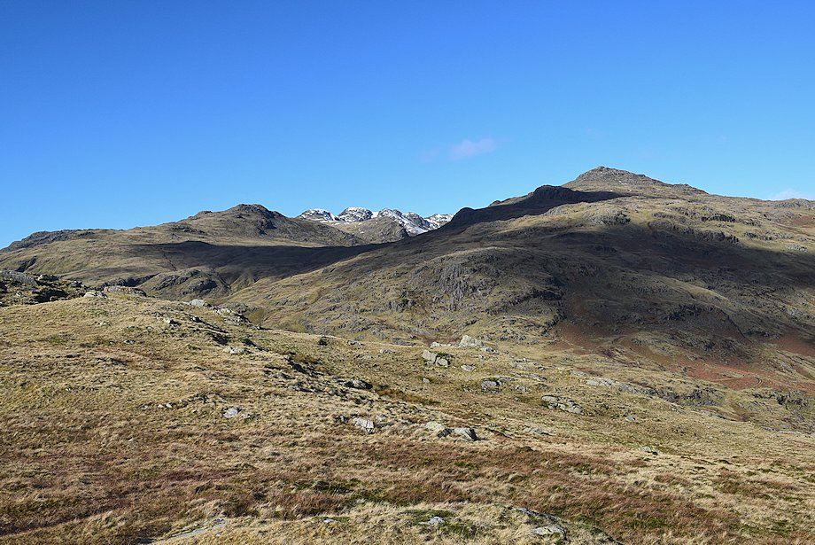
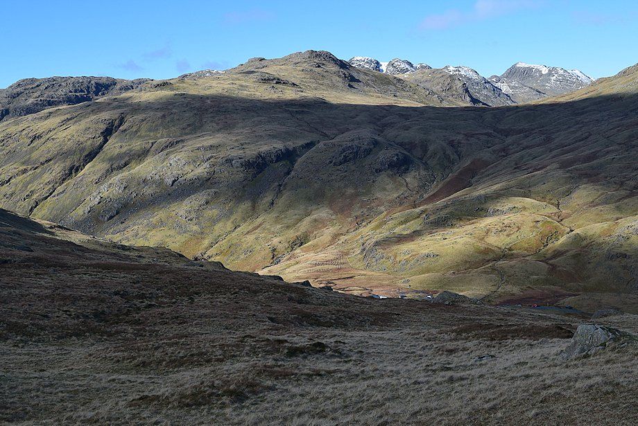
| Approaching Low Hall Garth. The route to Great Carrs follows the crest of Wet Side Edge in the centre of the photo |
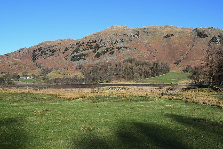 |
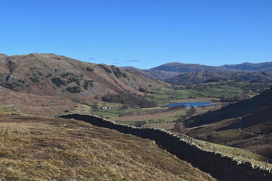
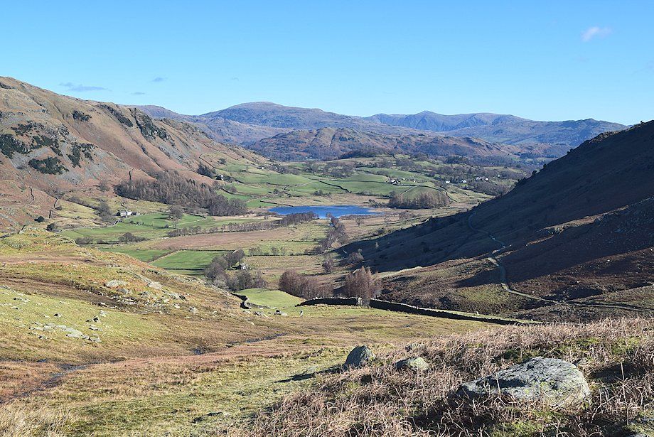
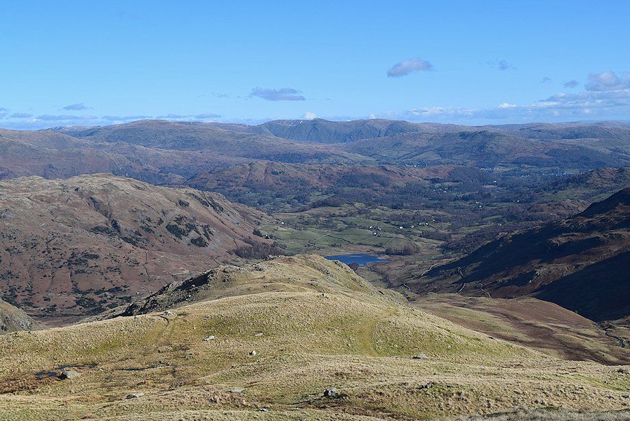
| Lingmoor Fell above Little Langdale Tarn |
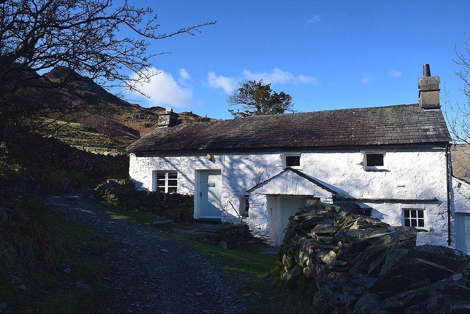 |
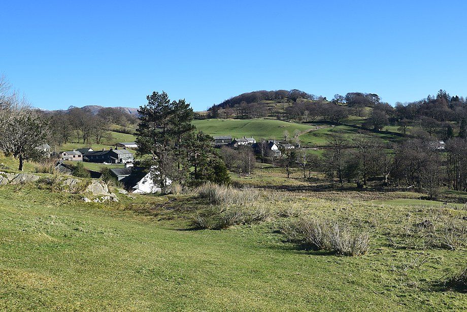
| High Hall Garth. The track passes behind the cottage and rises to join an old quarry track which runs between Fell Foot Bridge and High Tilberthwaite |
 |
| Joining the old quarry track |
 |
| Looking back to High Hall Garth from the quarry track |
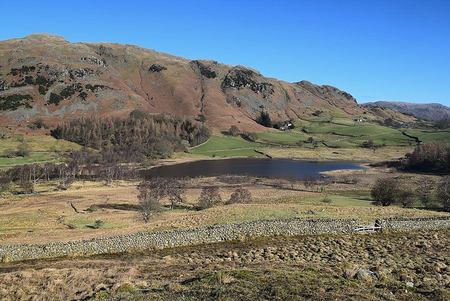 |
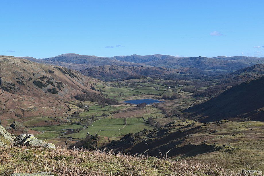
| Lingmoor Fell and Little Langdale Tarn from the quarry track |
 |
| Two of the Langdale Pikes, Pike o' Stickle and Loft Crag, from the quarry track |
 |
| The old mine track leading into Greenburn turns off the quarry track |
 |
| Looking back towards Little Langdale Tarn from the mine track |
 |
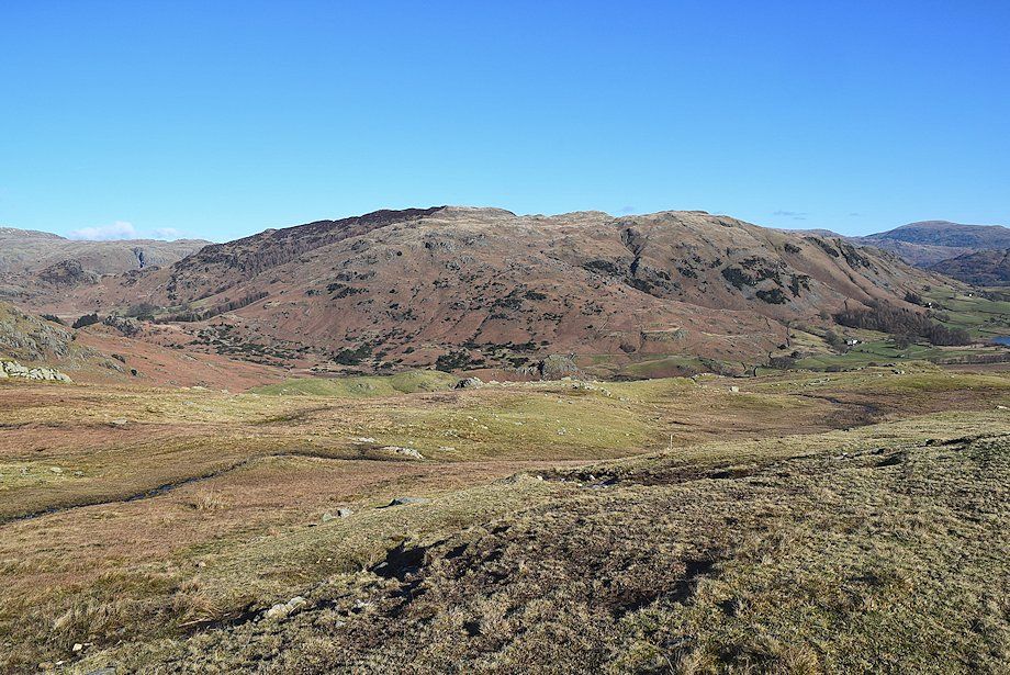
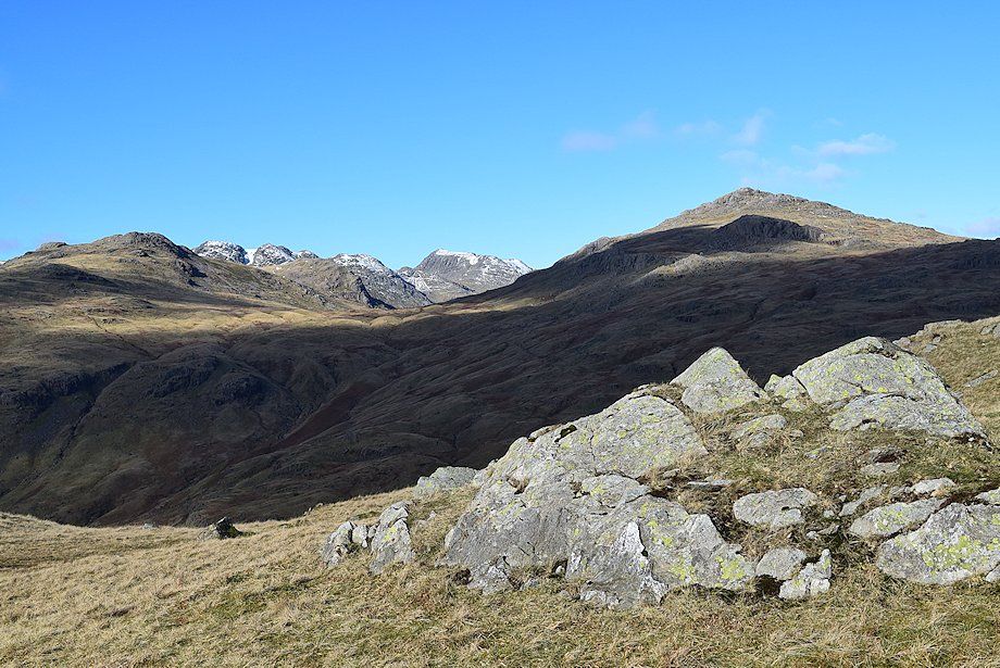
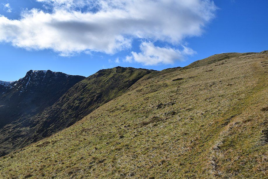
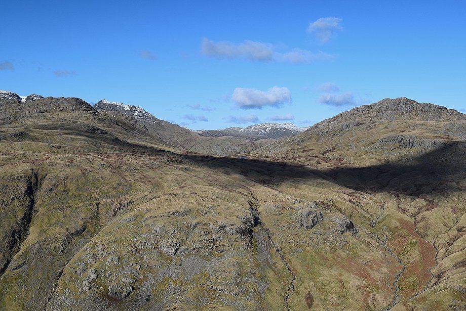
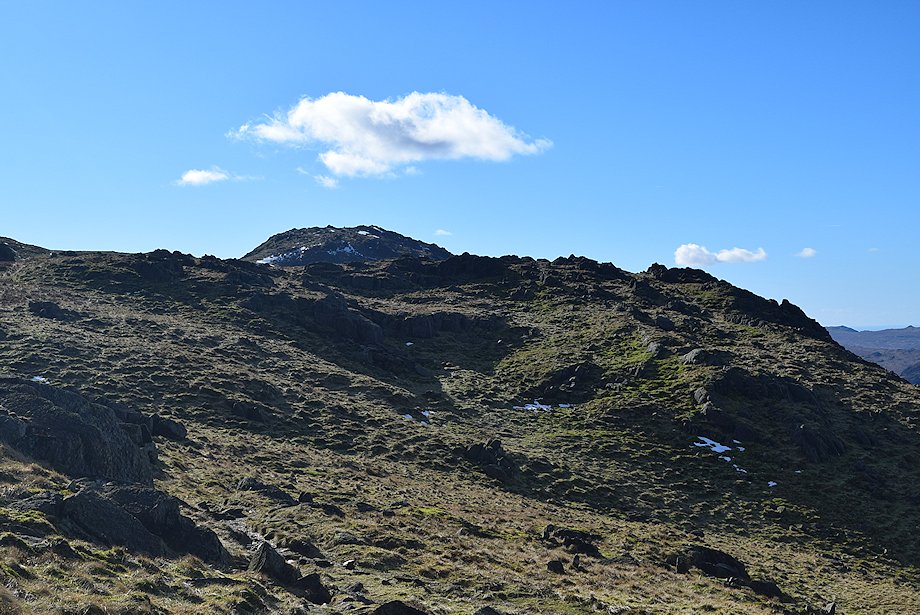
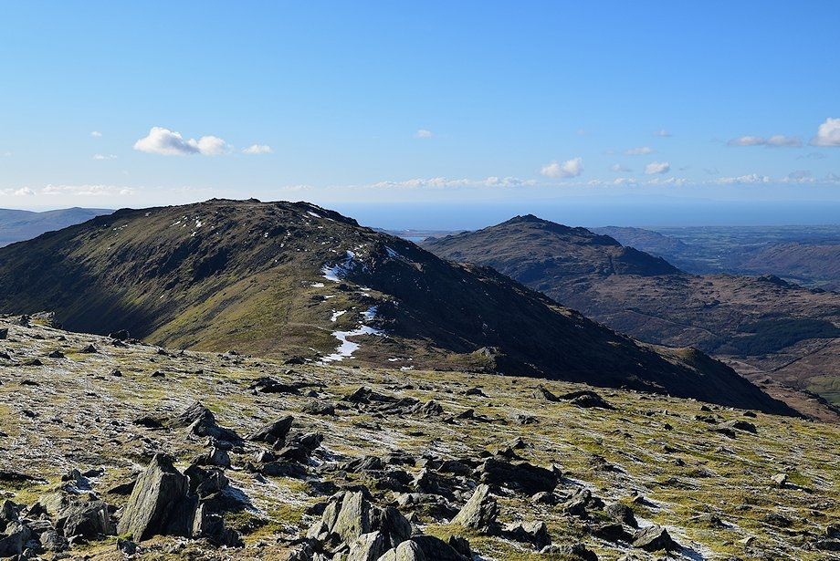
| Great Carrs, Little Carrs, Wet Side Edge and Rough Crags from the mine track |
 |
| Pike o' Stickle, Loft Crag, Harrison Stickle and Pavey Ark from the mine track |
 |
| Descending towards Greenburn Beck |
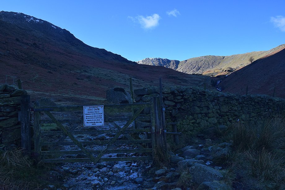 |
| The footbridge over Greenburn Beck lies just beyond a gate which gives access to the disused Greenburn Copper Mines |
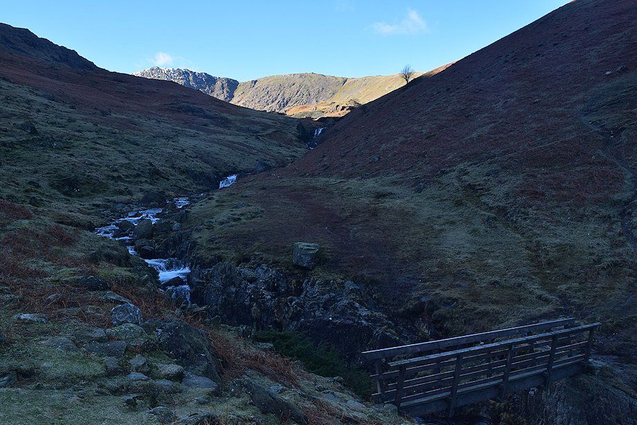 |
| The footbridge over Greenburn Beck. The path climbs the opposite bank to gain the ridgeline between Rough Crags and Hollin Crag |
 |
| Looking back to the footbridge |
 |
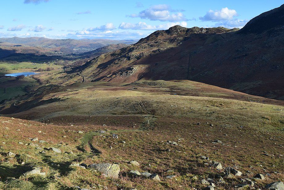
| Little Langdale from the climb to the ridgeline |
 |
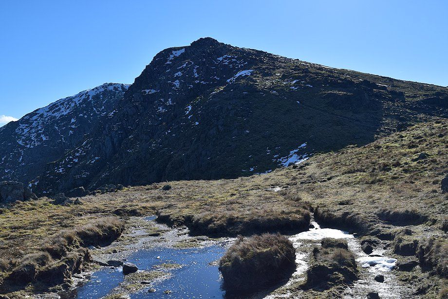
| Great Carrs and Wet Side Edge from the climb to the ridgeline |
 |
| The summit of Blake Rigg appears over the ridge with Harrison Stickle and Pavey Ark to the right |
 |
| Little Langdale from the ridge between Rough Crags and Hollin Crag |
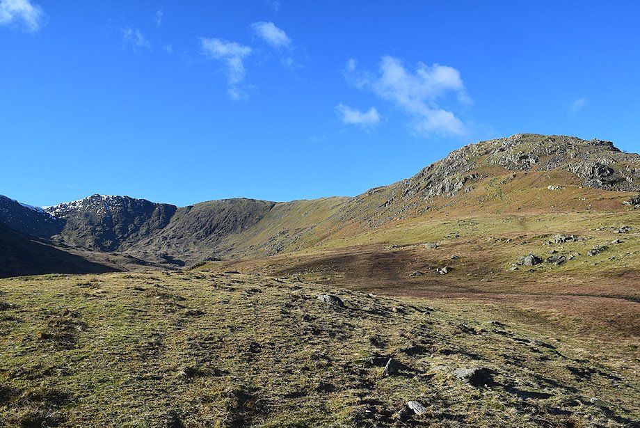 |
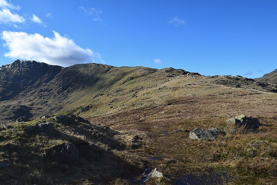
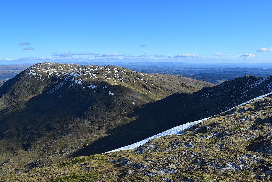
| Great Carrs, Little Carrs and Wet Side Edge |
 |
| Looking back towards Lingmoor Fell |
 |
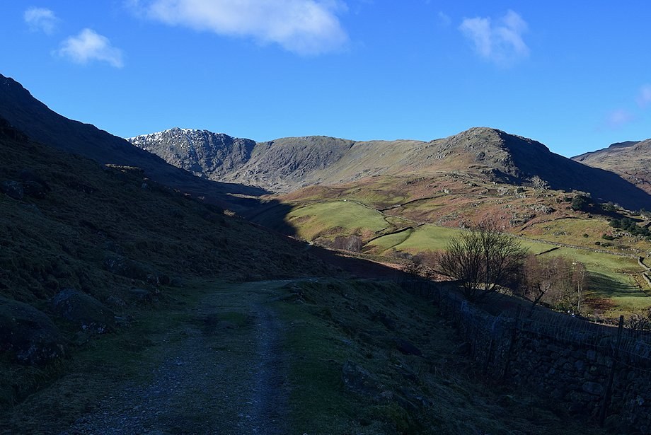
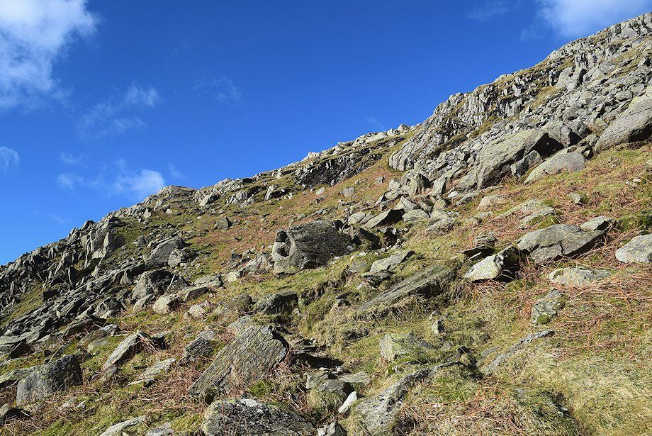
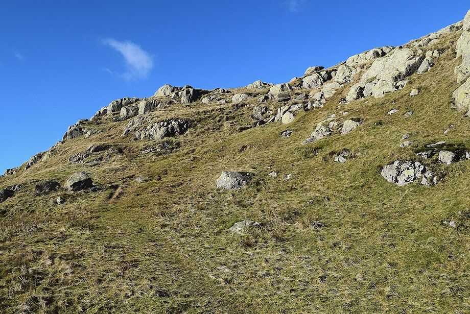
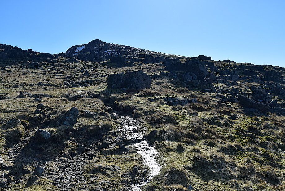
| The path avoids the steep rocks of Rough Crags by following an obvious rake on the left side |
 |
| Looking back from the climb to Rough Crags |
 |
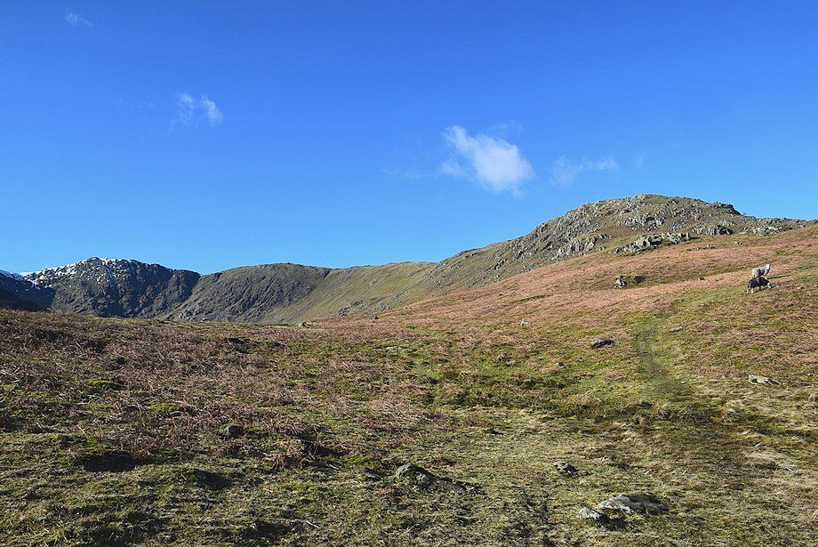
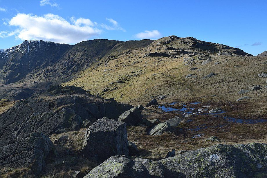
| Swirl How and Great Carrs across the steep slopes of Rough Crags |
 |
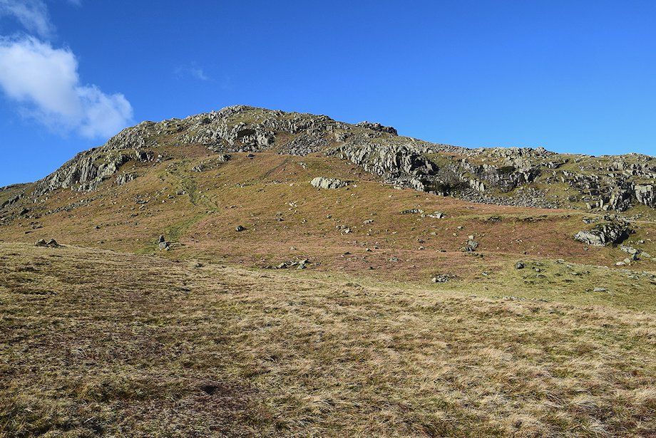
| The path to the summit of Rough Crags |
 |
| Little Langdale from the slopes of Rough Crags |
 |
| Helvellyn appears over the north west ridge of Lingmoor Fell |
 |
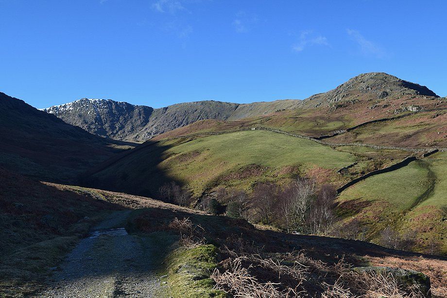
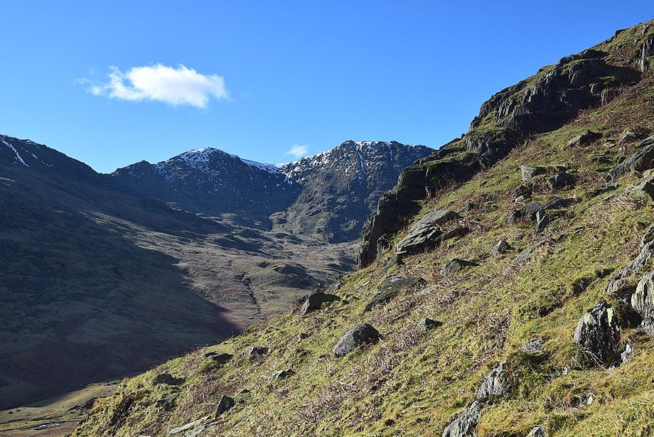
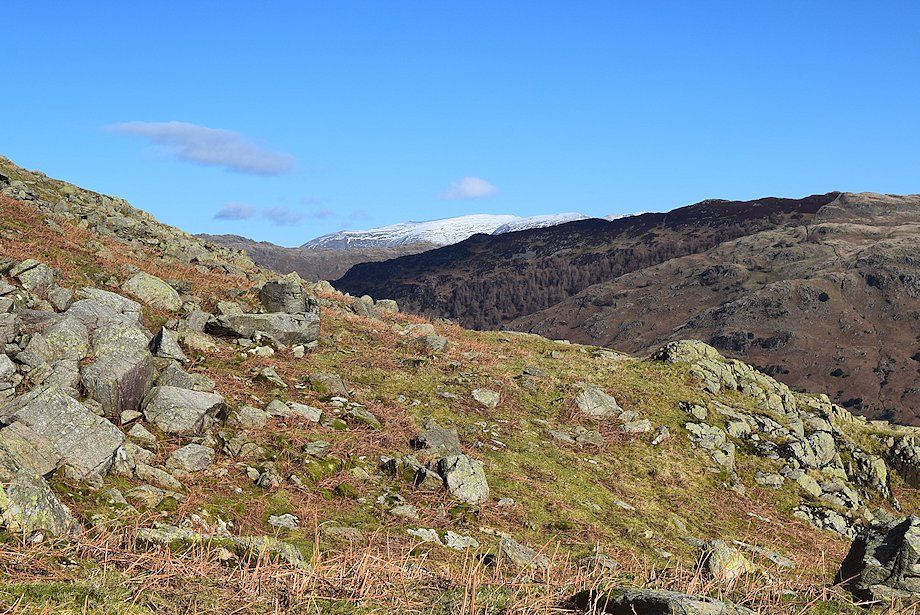
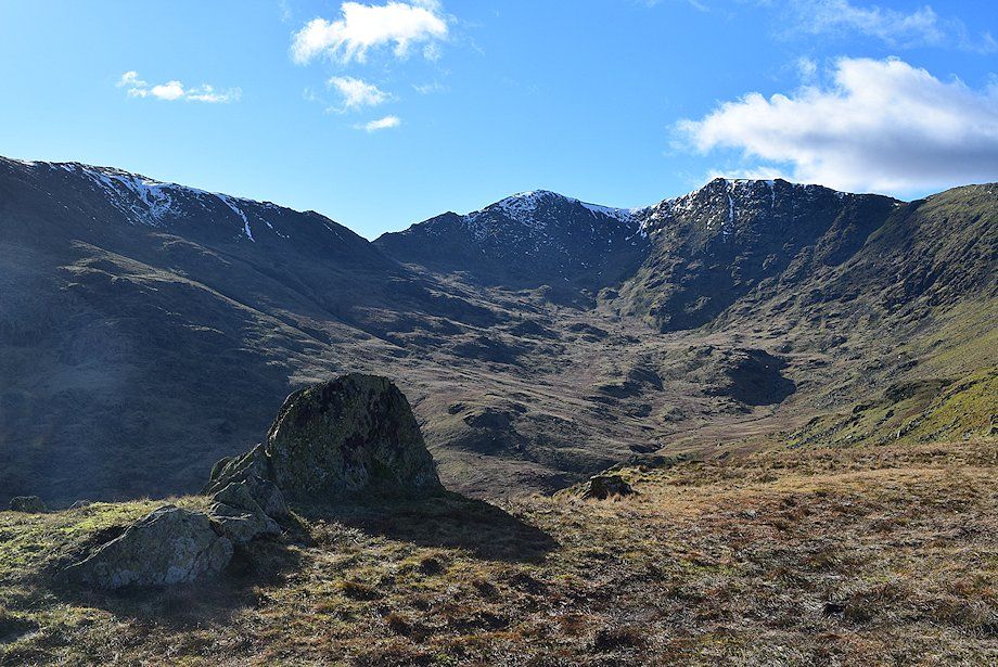
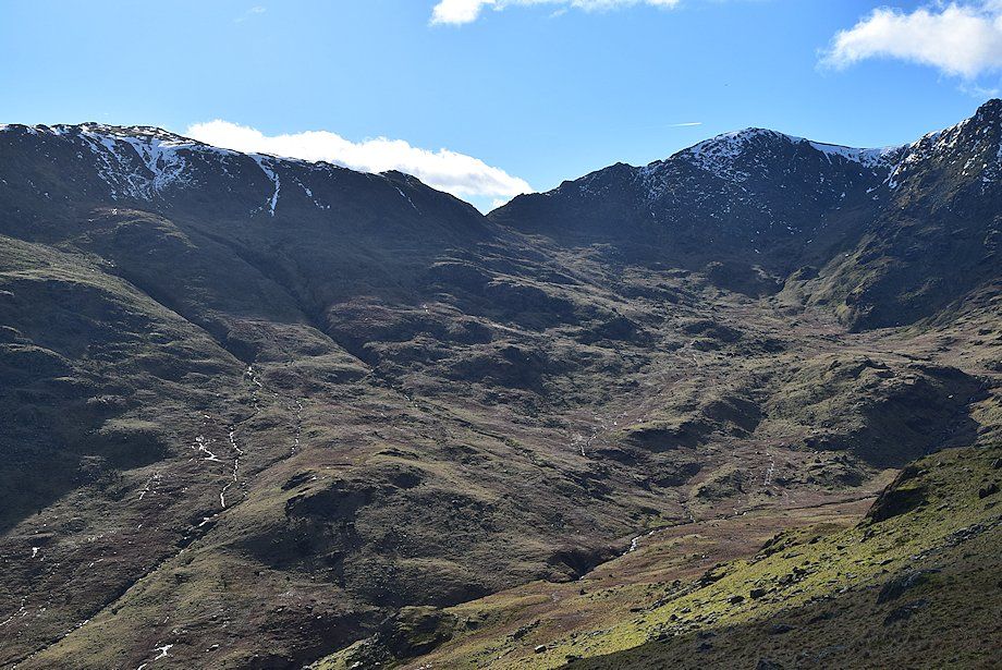
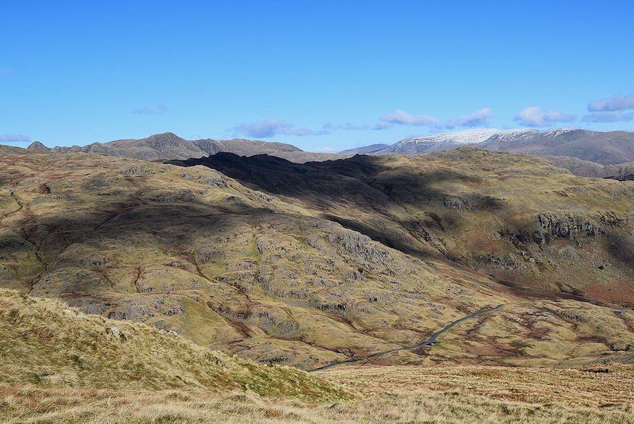
| The head of Greenburn from the slopes of Rough Crags |
 |
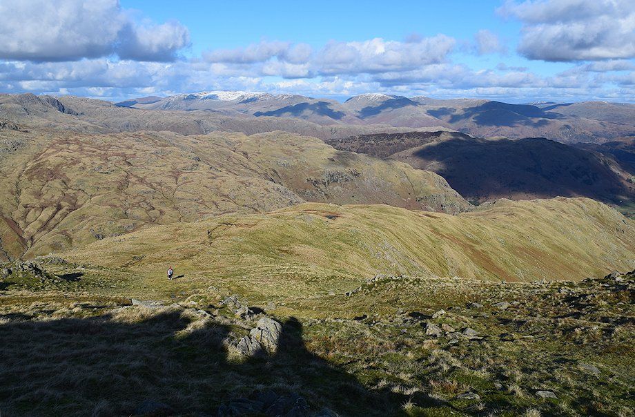
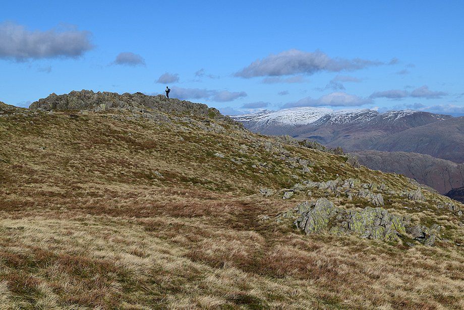
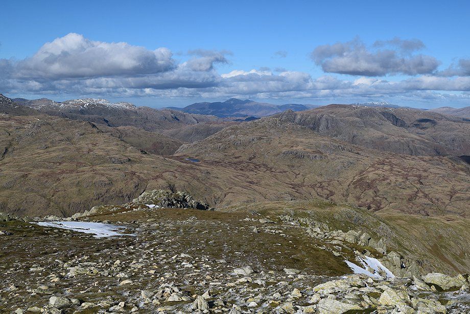
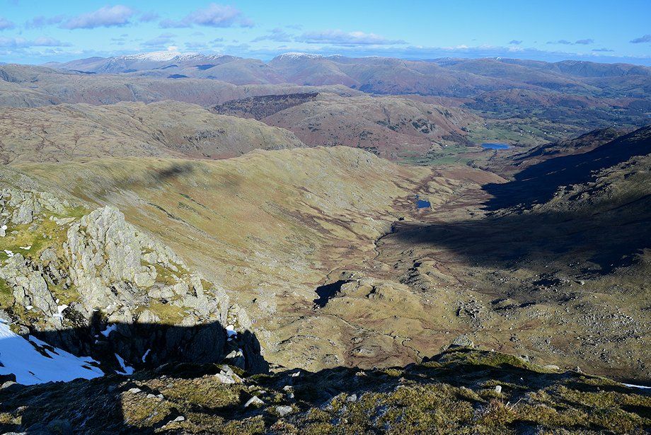
| Little Langdale and the Far Eastern Fells from near the summit of Rough Crags |
 |
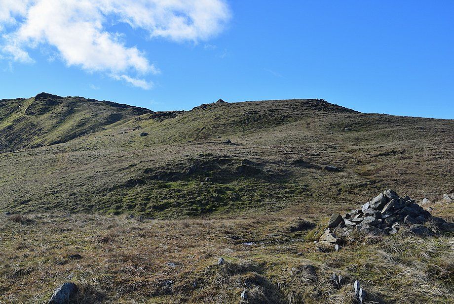
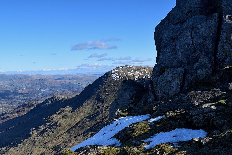
| Approaching the summit of Rough Crags |
 |
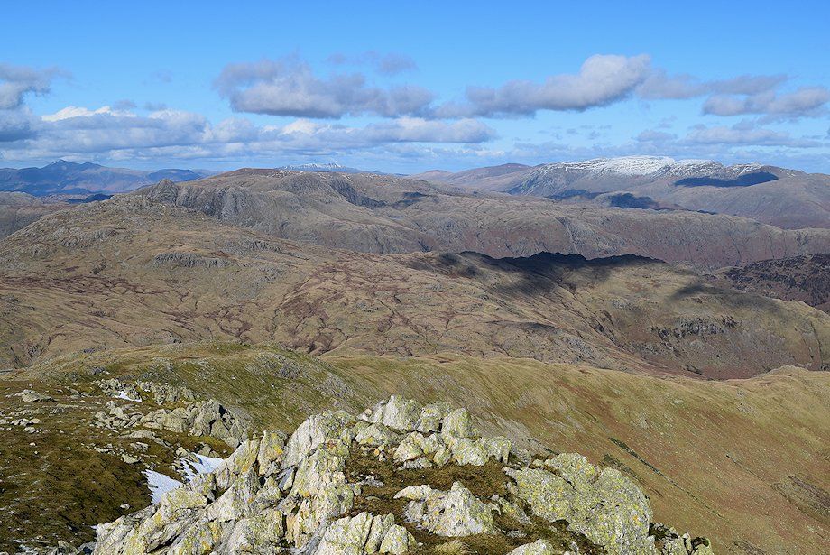
| The Helvellyn and Fairfield groups of fells from the summit of Rough Crags |
 |
| The continuing ridge to Great Carrs passes below the rock outcrops of High End leading to Wet Side Edge and Little Carrs |
 |
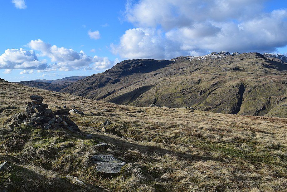
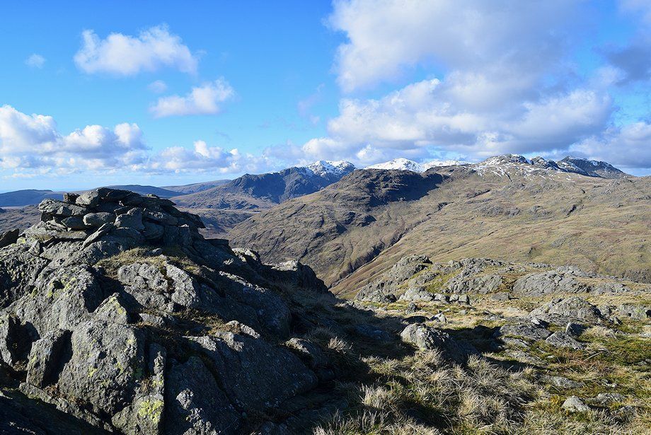
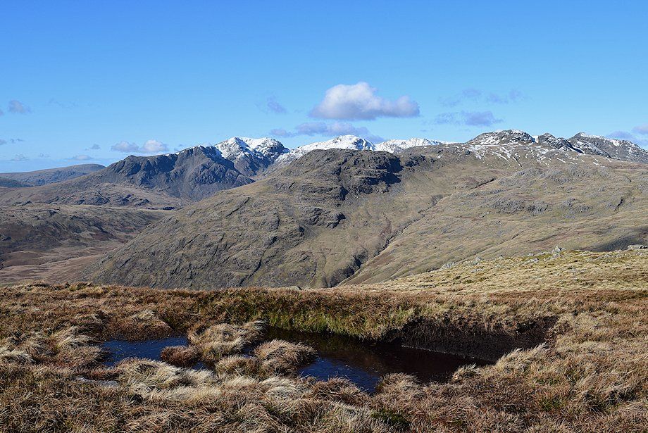
| Cold Pike, Crinkle Crags and Pike o' Blisco from the summit of Rough Crags |
 |
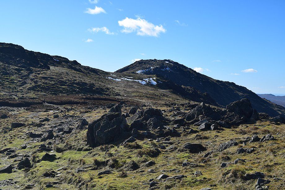
| Continuing along the ridge of High End |
 |
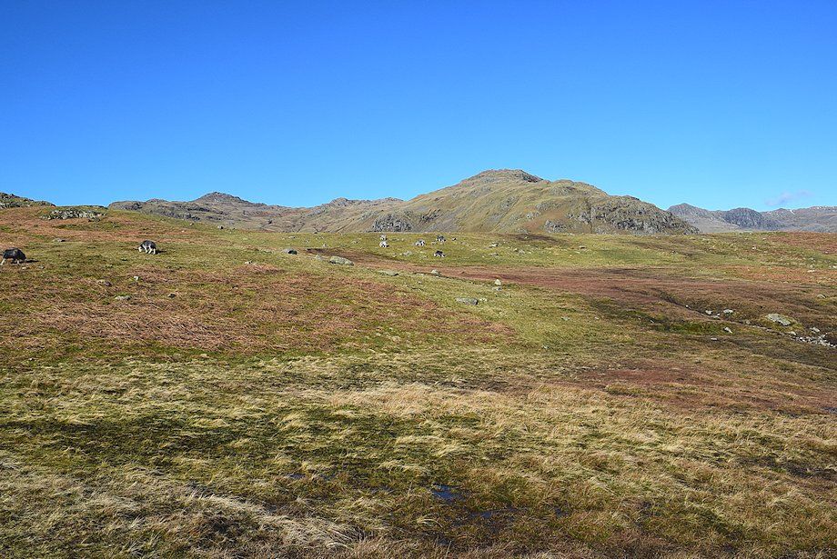
| Swirl How and Great Carrs above the head of Greenburn from High End |
 |
| Approaching the summit outcrops of High End |
 |
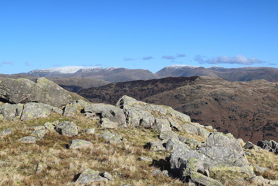
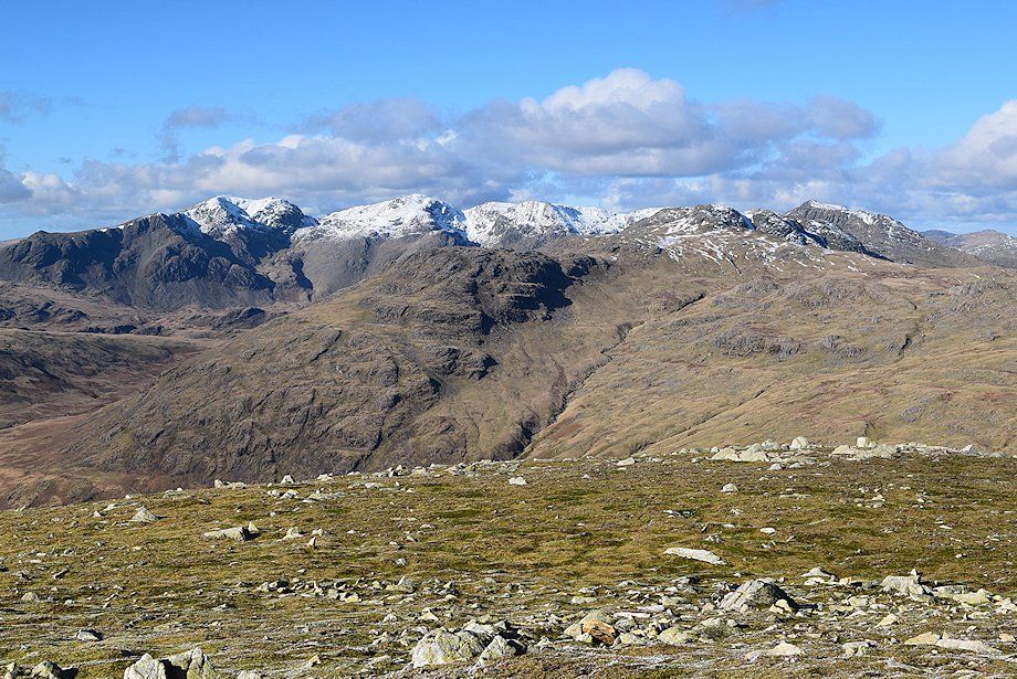
| Cold Pike, Crinkle Crags, Bowfell, and Pike o' Blisco from the summit of High End |
 |
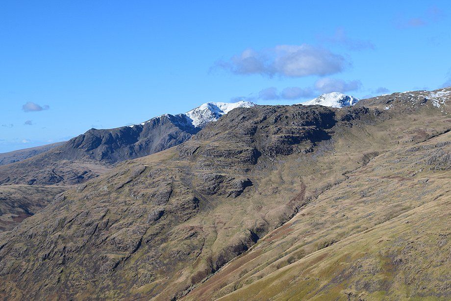
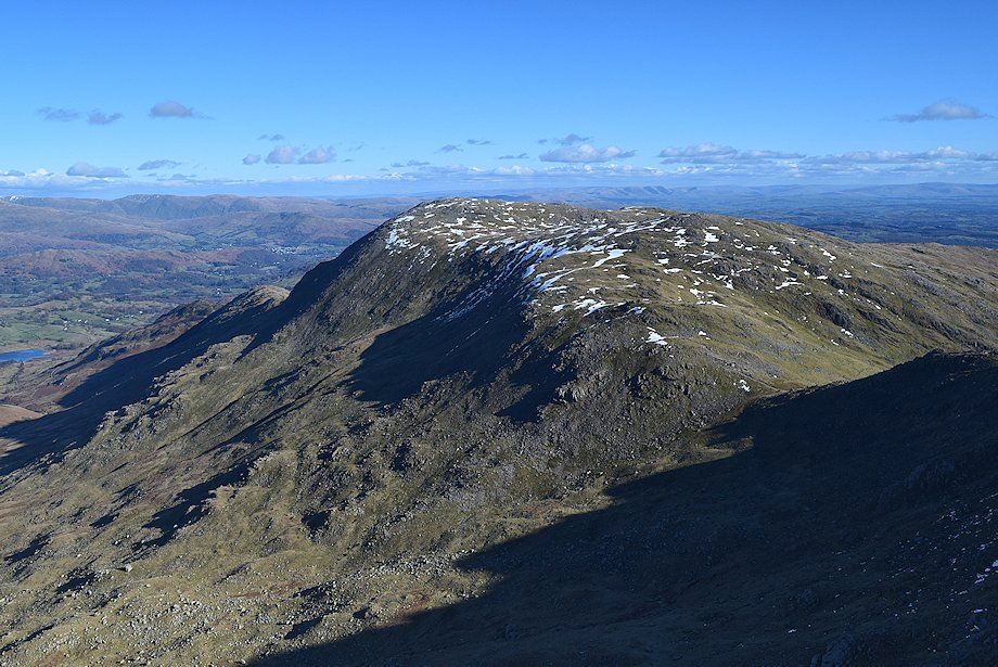
| Black Sails on Wetherlam and Swirl How from the summit of High End |
 |
| Looking down on the disused Greenburn Reservoir from the summit of High End |
 |
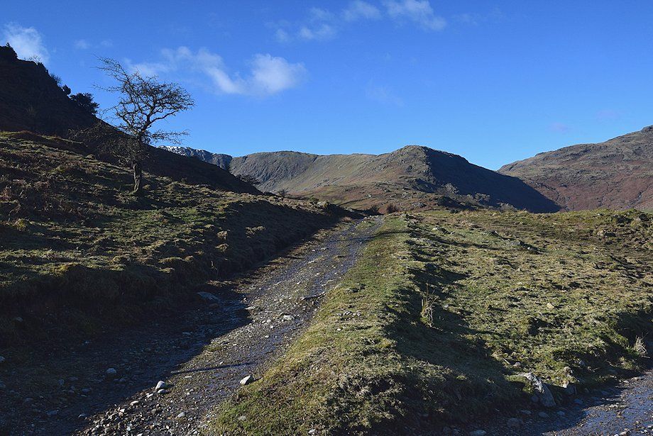
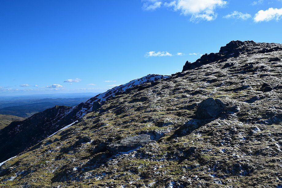
| Continuing on from the summit of High End towards Wet Side Edge |
 |
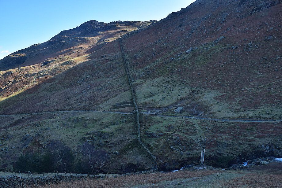
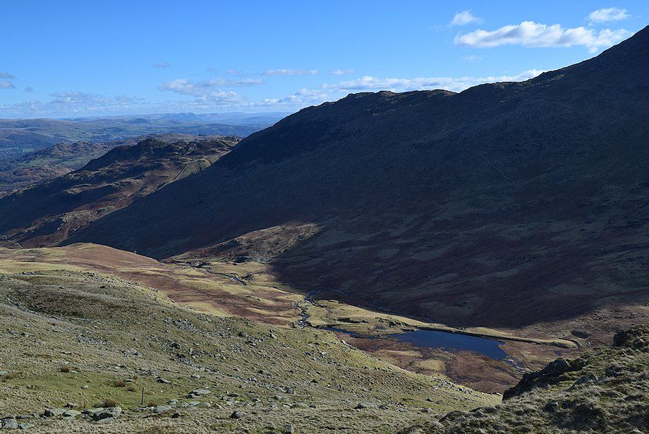
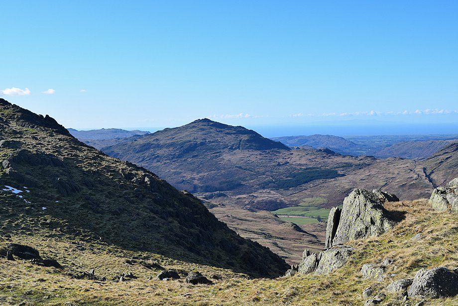
| Looking down on the summit of Wrynose Pass |
 |
| Starting the steep climb to Wet Side Edge |
 |
| Looking back along the High End ridge |
 |
| Looking back over Blake Rigg towards the Langdale Pikes and the Helvellyn range |
 |
| The gradient eases as the path rises to a prominent cairn on the skyline |
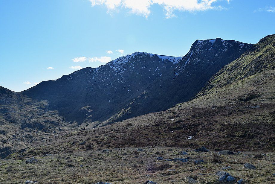 |
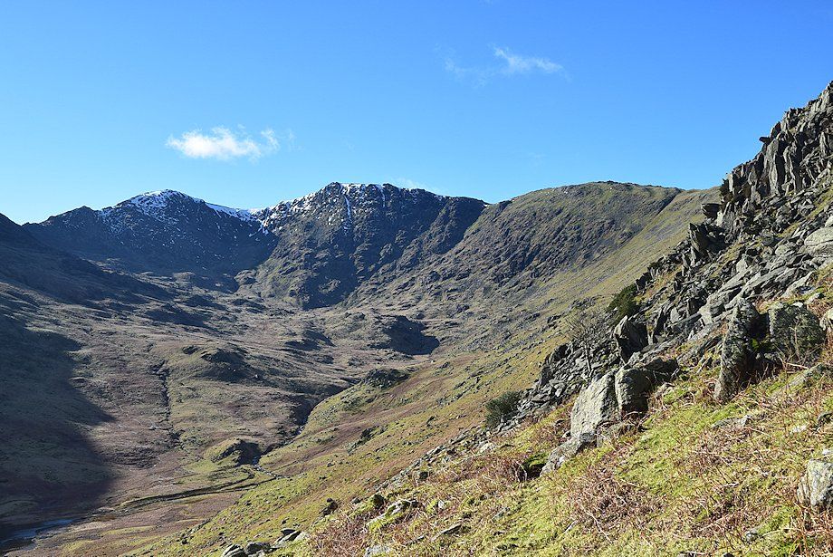
| Looking across the head of Greenburn to Swirl Hawse and the Prison Band ridge rising to the summit of Swirl How with Great Carrs on the right |
 |
| Wetherlam from the prominent cairn |
 |
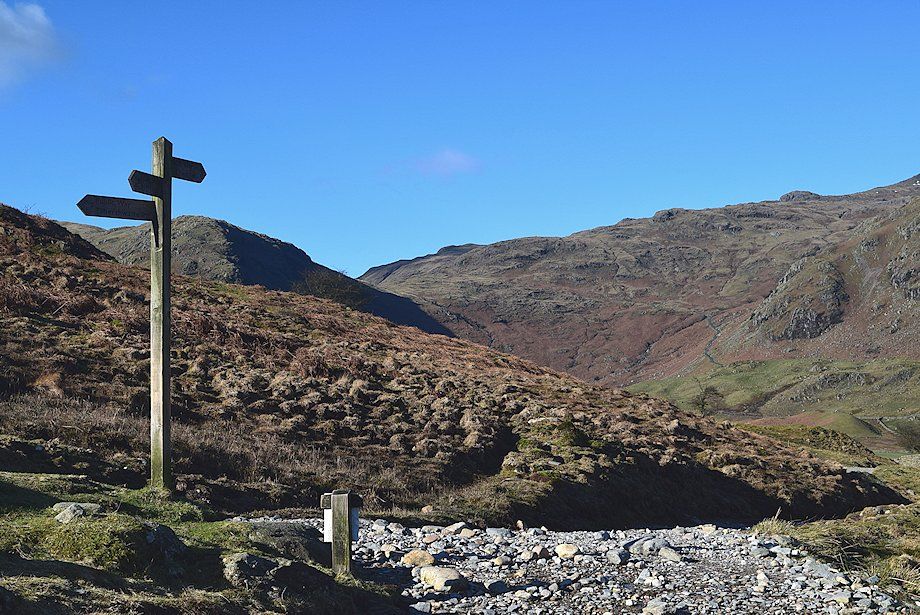
| The cairn indicates where the path from the summit of Wrynose Pass joins the ridge and is an important marker in poor visibility for walkers descending to the pass |
 |
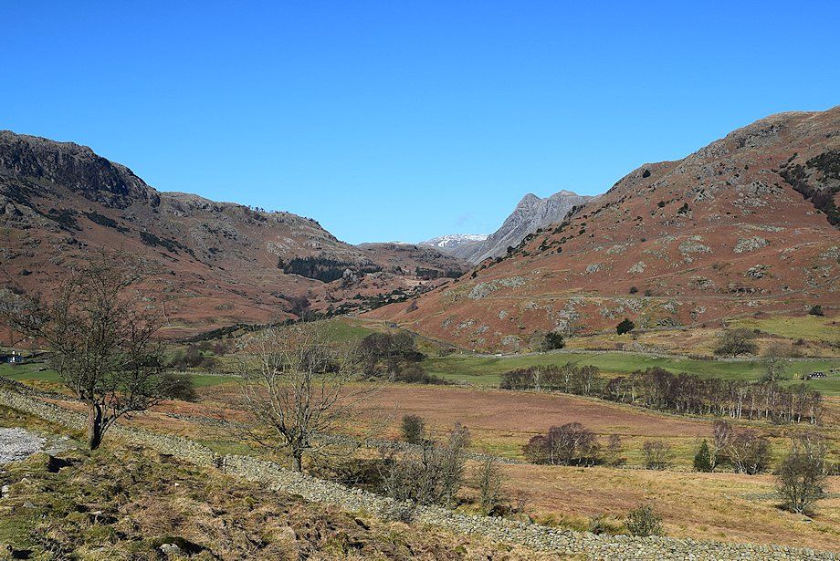
| Looking towards Glaramara framed between the slopes of Bowfell and Pike o' Blisco |
 |
| Looking back along the ridge from Wet Side Edge |
 |
| The Helvellyn range from Wet Side Edge |
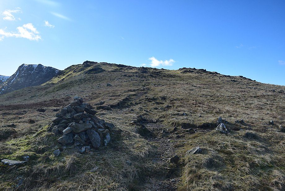 |
| From the marker cairn the path rises steadily towards Little Carrs and Hell Gill Pike |
 |
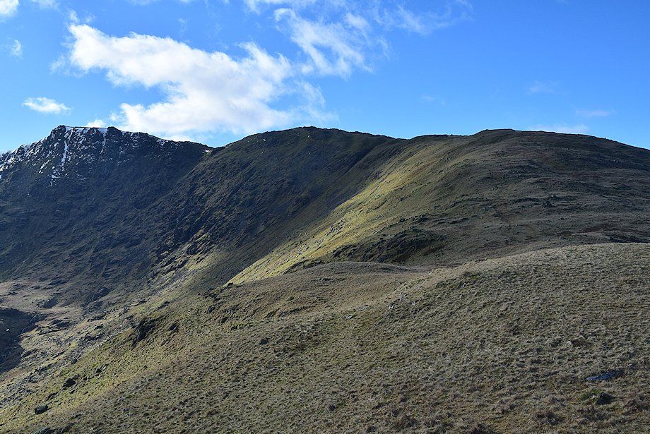
| The summit of Grey Friar appears over the ridge between Little Carrs and Hell Gill Pike |
 |
| Looking back along Wet Side Edge and High End ridge |
 |
| Scafell and Scafell Pike over Little Stand from the summit of Hell Gill Pike |
 |
| Harter Fell from Hell Gill Pike |
 |
| Continuing on towards the summit of Great Carrs from Hell Gill Pike, the slopes of Little Carrs are on the left |
 |
| The summit cairn on Little Carrs |
 |
| Wetherlam from Little Carrs |
 |
| Greenburn and Little Langdale from the summit of Little Carrs |
 |
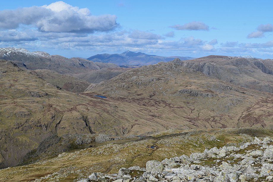
| The Scafells, Crinkle Crags and Bowfell form the horizon to the north west of Little Carrs. Hell Gill Pike is the rocky summit in the foreground |
 |
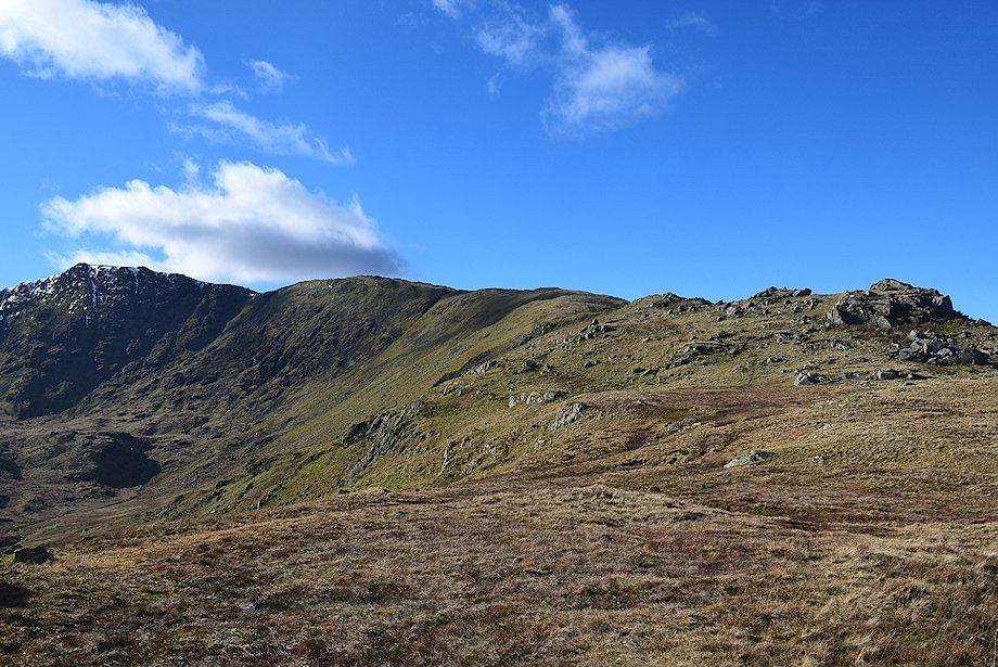
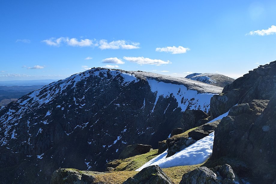
| The summits of Swirl How and Great Carrs from the shallow col beyond Little Carrs |
 |
| Looking back to the summit of Little Carrs from the col |
 |
| Grey Friar from the col |
 |
| The Scafells, Little Stand, Crinkle Crags and Bowfell from the col |
 |
| Wetherlam from the climb to Great Carrs |
 |
| Looking back towards Hell Gill Pike and Little Carrs |
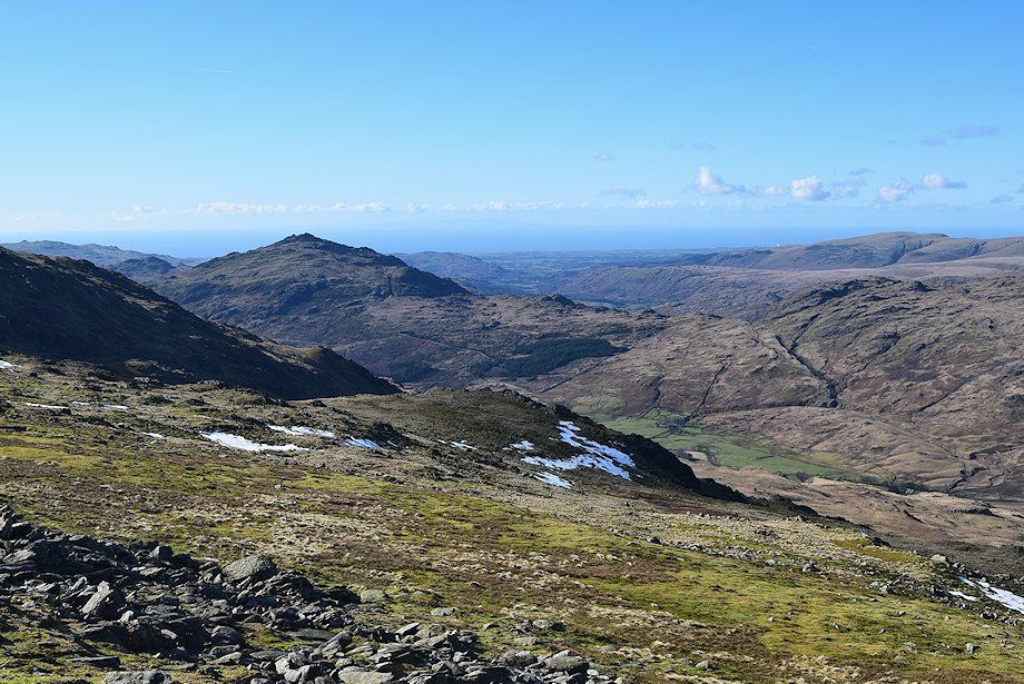 |
| Harter Fell from the climb to Great Carrs |
 |
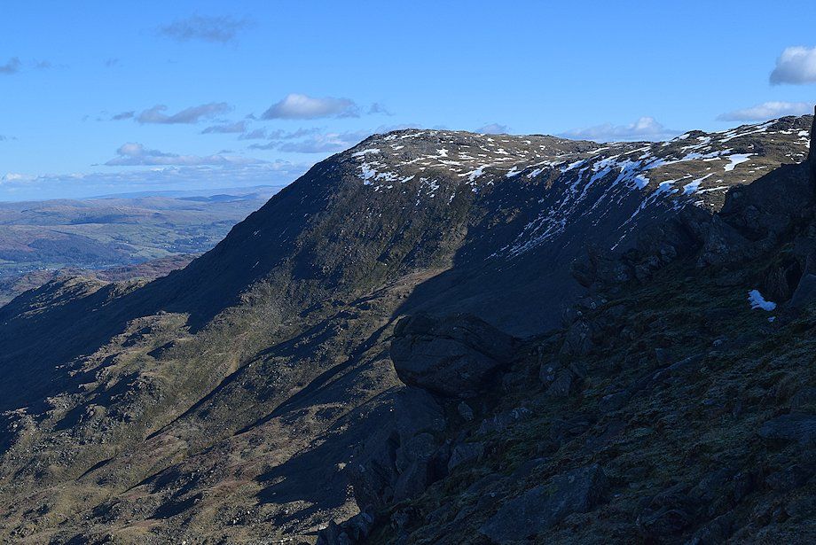
| Wetherlam across the Central Buttress of Great Carrs |
 |
| Approaching the summit of Great Carrs |
 |
| Wetherlam, Swirl Hawse, and Prison Band from near the summit of Great Carrs |
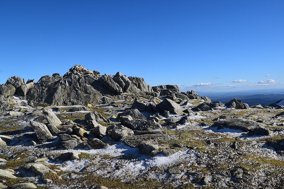 |
| The summit cairn on Great Carrs |
 |
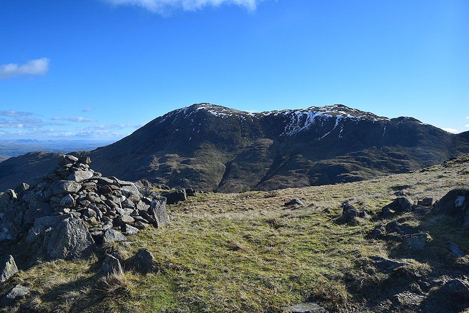
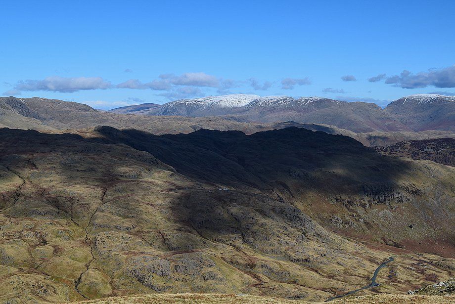
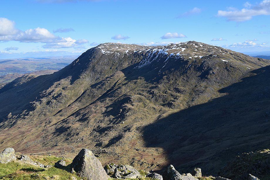
| Grey Friar and Harter Fell from the summit of Great Carrs |
 |
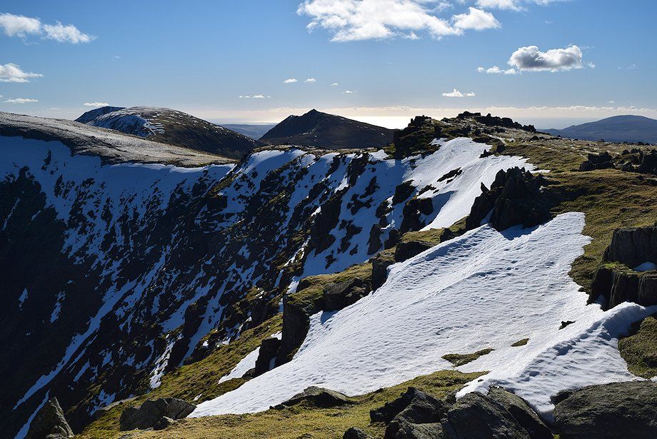
| The Scafells, Crinkle Crags, and Bowfell from the summit of Great Carrs |
 |
| Looking north to Skiddaw on the centre horizon |
 |
| The Helvellyn range on the right horizon |
 |
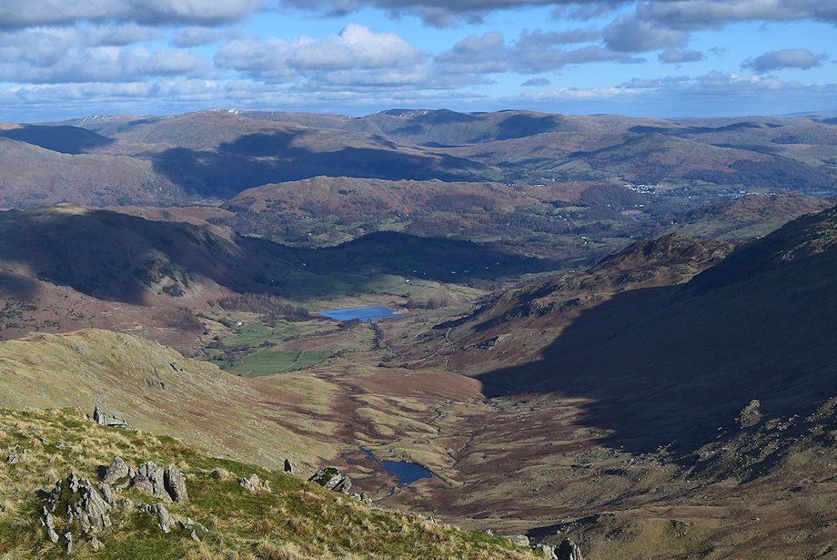
| Greenburn and Little Langdale from the summit of Great Carrs |
 |
| Wetherlam from the summit of Great Carrs |
 |
| Swirl How from the summit of Great Carrs |
 |
| Brim Fell, Coniston Old Man and Dow Crag over the connecting ridge to Swirl How. Black Combe in the distance on the right |
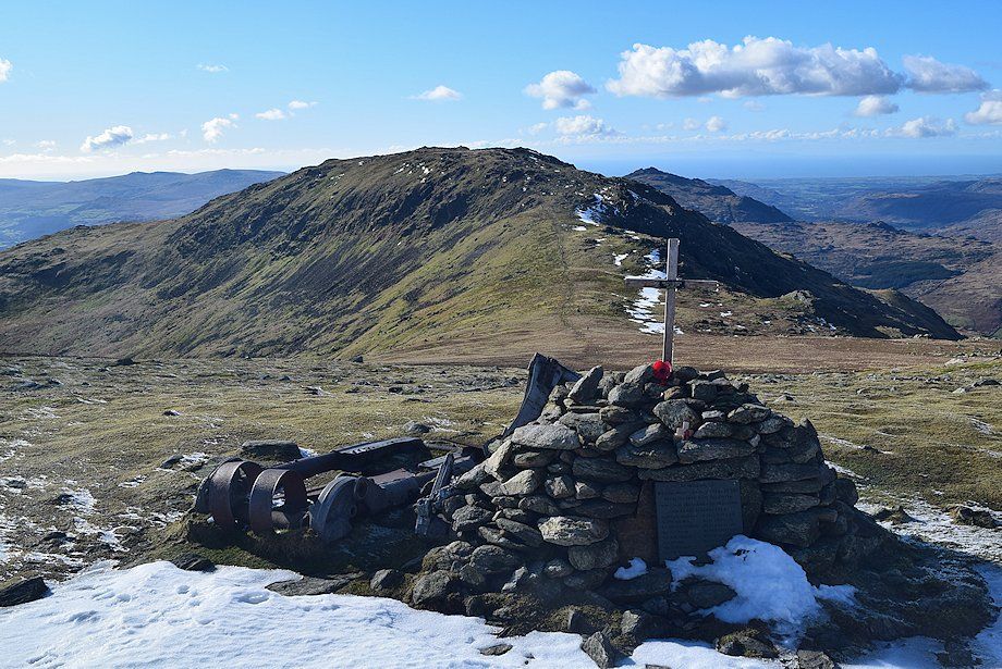 |
| A hundred and fifty yards south of the summit is the memorial cairn to the crew of Royal Canadian Air Force Halifax bomber LL505 FD-S which crashed here on the 22nd of October 1944 |
|