 |
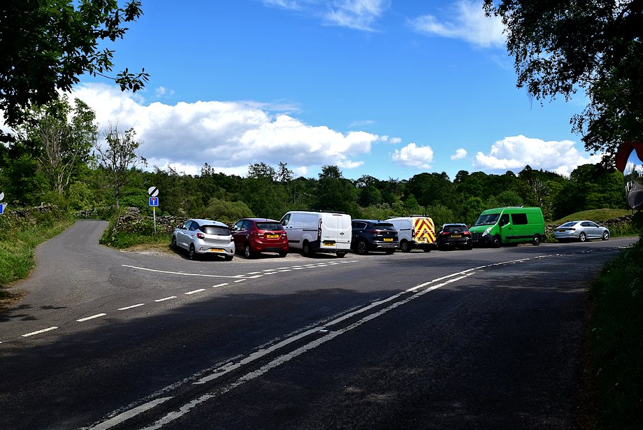
| Cleabarrow Lane junction on the Bowness-on-Windermere ~ Crook road is the starting point for this walk |
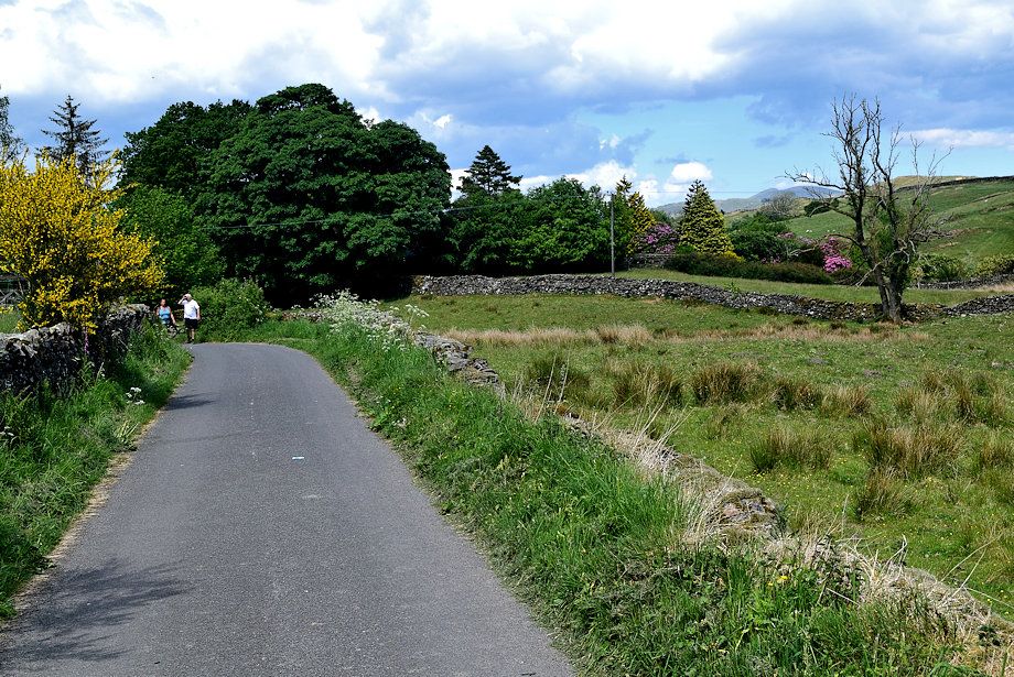 |
| Cleabarrow Lane forms part of the Dales Way, an 80 mile long distance footpath between Ilkley and Bowness |
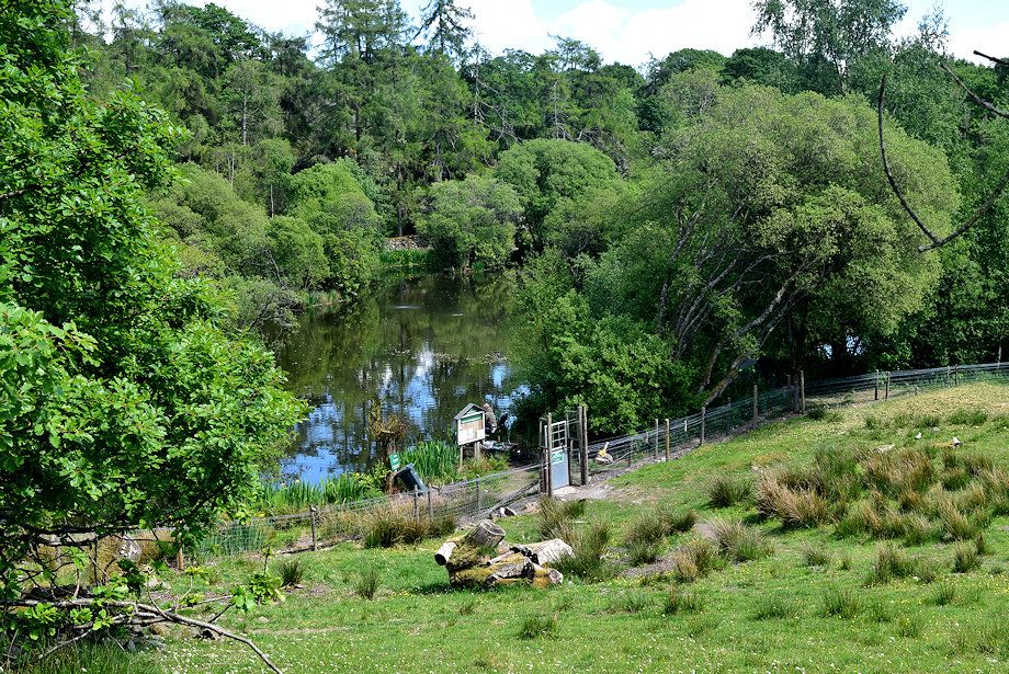 |
| Looking down on Cleabarrow Tarn from the lane |
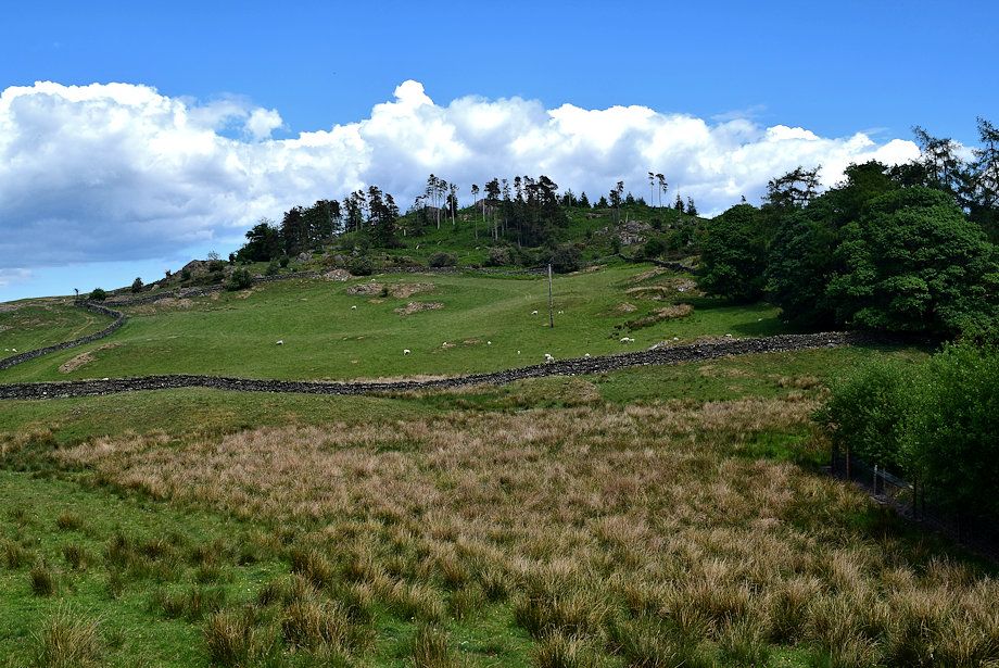 |
| Cleabarrow Hill from the lane |
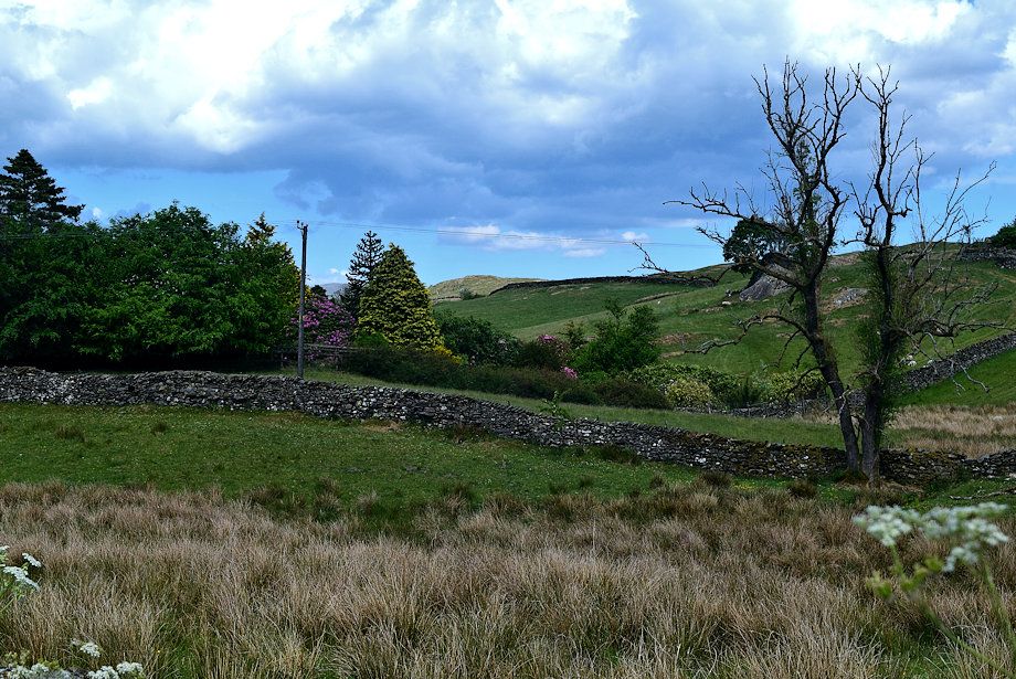 |
| The sunlit summit of School Knott comes into view |
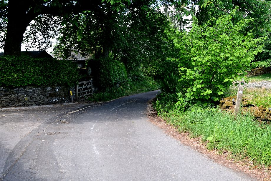 |
| The Dales Way carries on straight ahead when the lane forks |
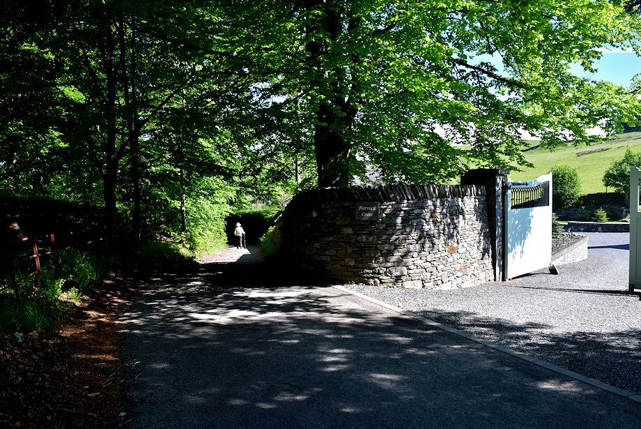 |
| The surfaced lane ends on passing the last house in the hamlet, the dales Way continues as a rough track down the hill |
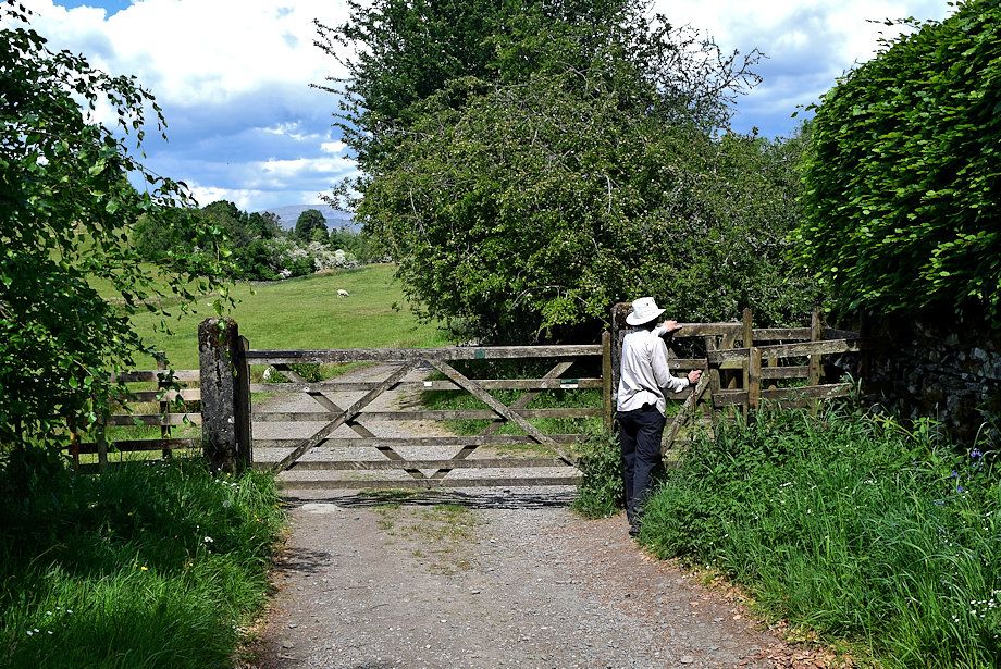 |
| A handgate gives access to pasture fields at the bottom of the hill |
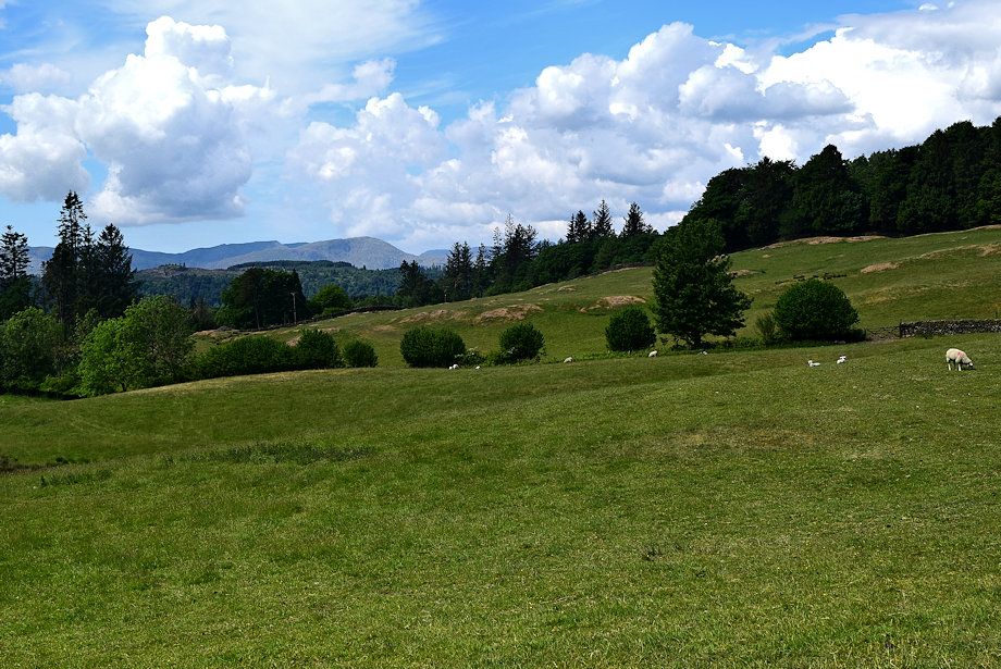 |
| Wetherlam from the Dales Way track |
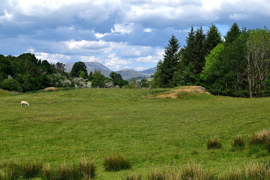 |
| Red Screes, St Raven's Edge and Caudale Moor from the Dales Way track |
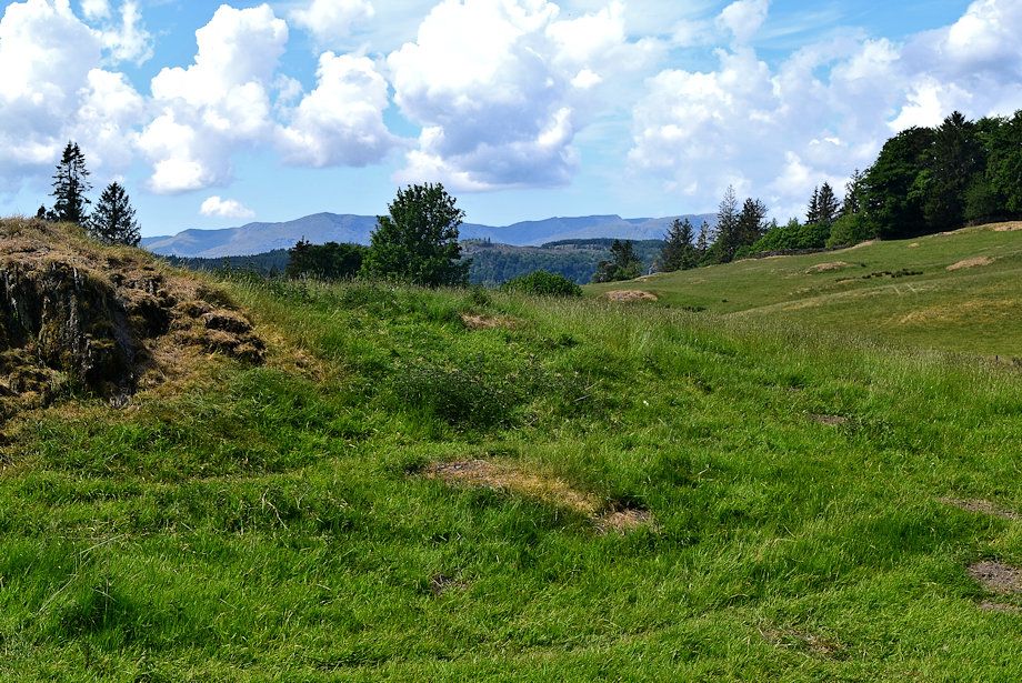 |
| The Coniston Fells from the Dales Way track |
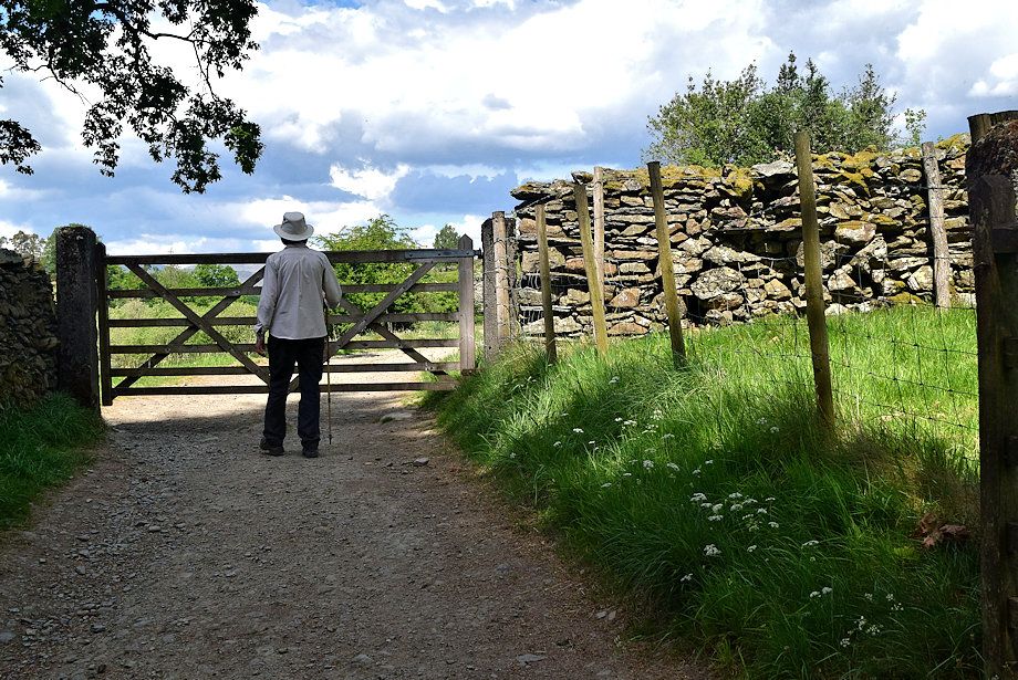 |
| Waiting for the farmer to gather some sheep before we pass through another gate |
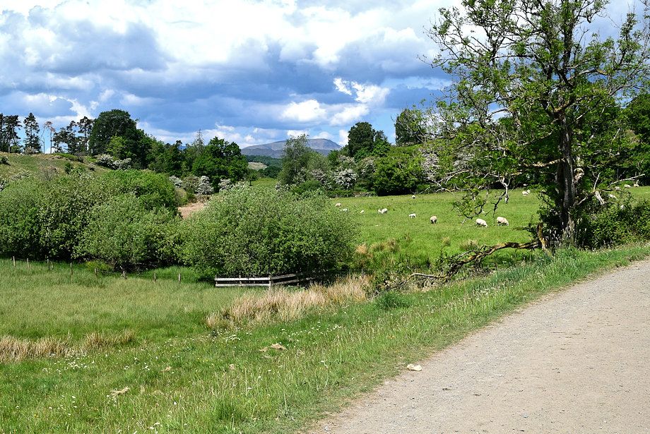 |
| The unmistakeable profile of Red Screes on the horizon |
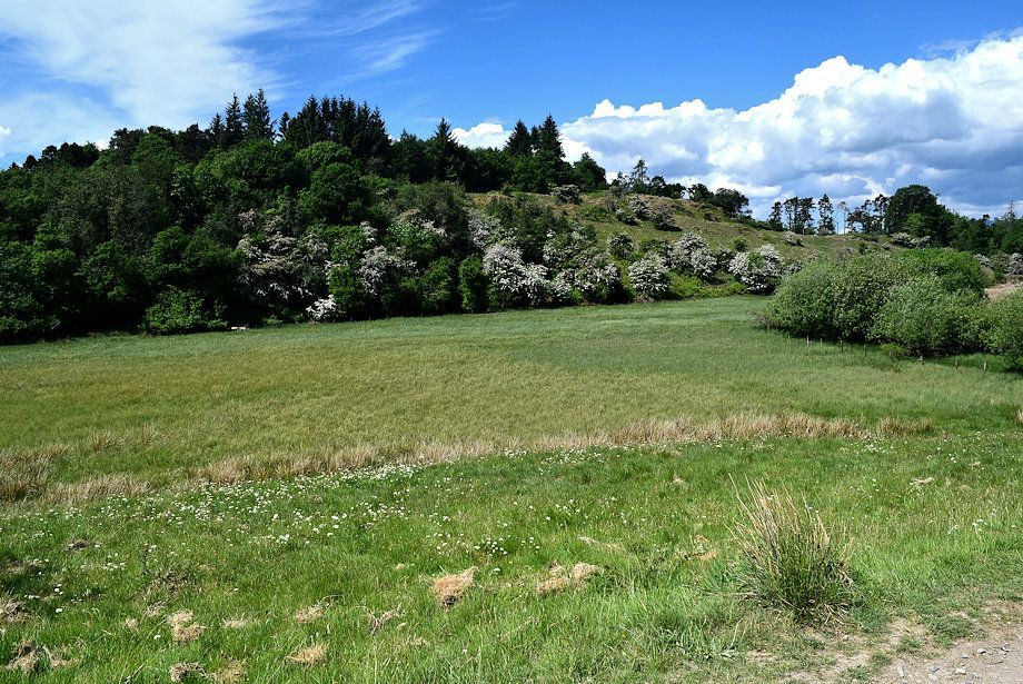 |
| Passing the dried-up bed of Scout Tarn |
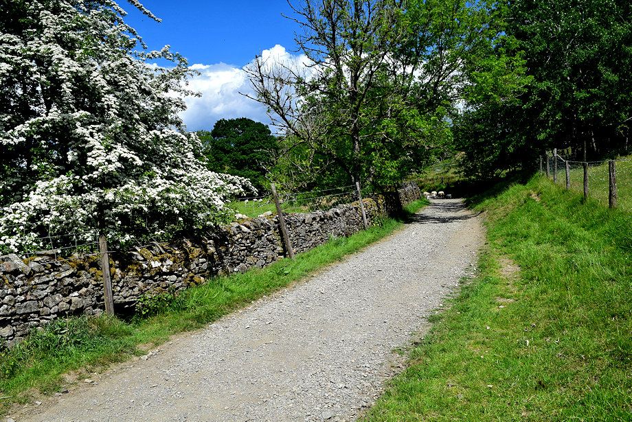 |
| After passing through another gate the track becomes confined between a wall and a fence for a short distance |
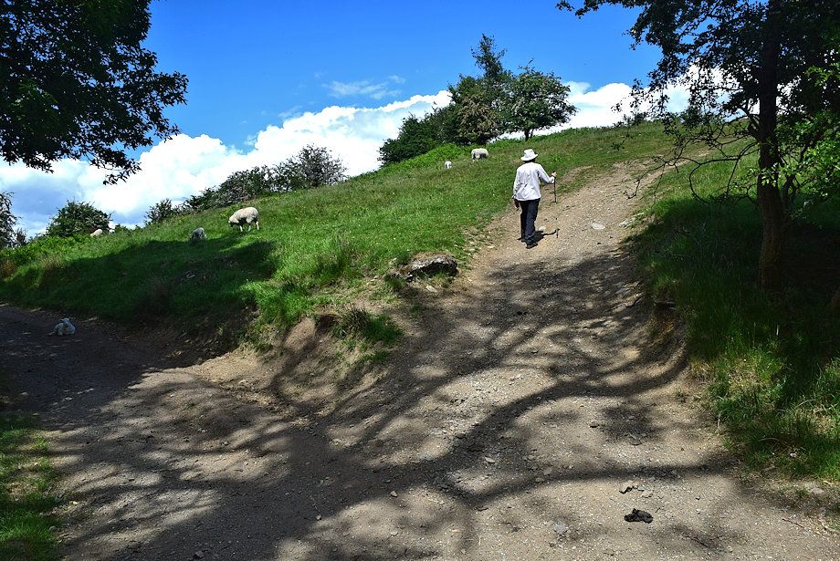 |
| We leave the Dales Way track for a 'short cut' path up a grass bank |
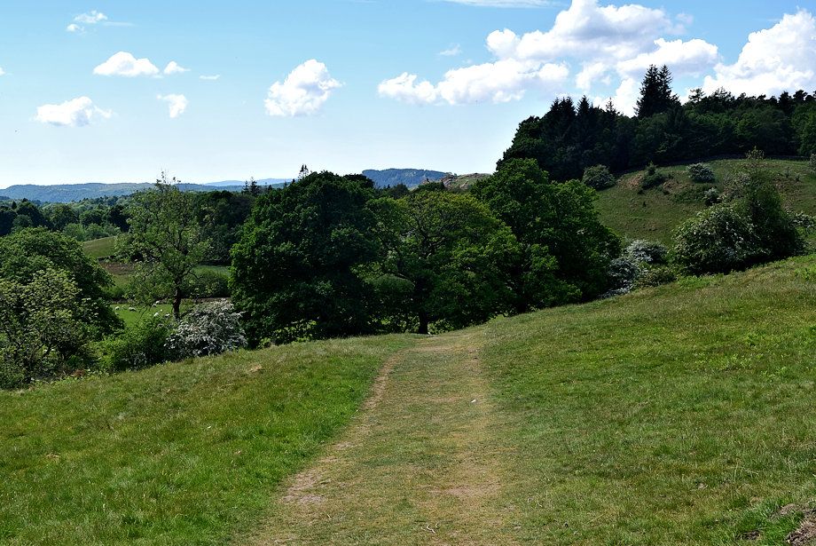 |
| Looking back along the 'short cut' path |
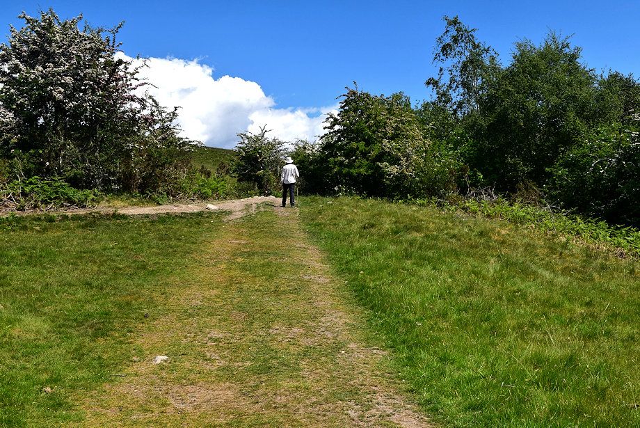 |
| Rejoining the Dales Way track at a higher level |
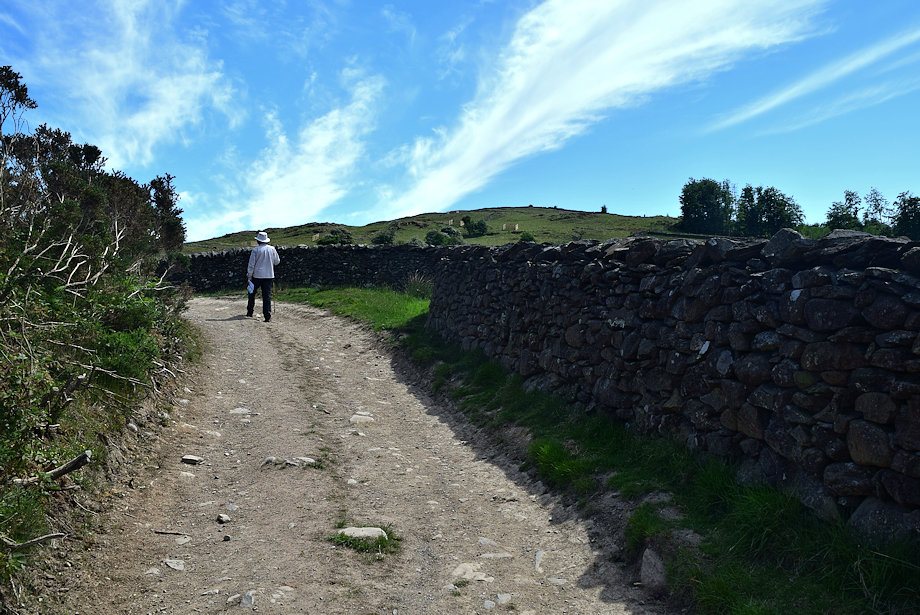 |
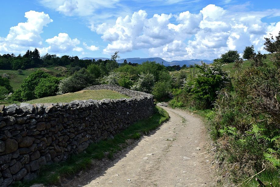
| Grandsire and Cleabarrow Hill from the Dales Way track |
 |
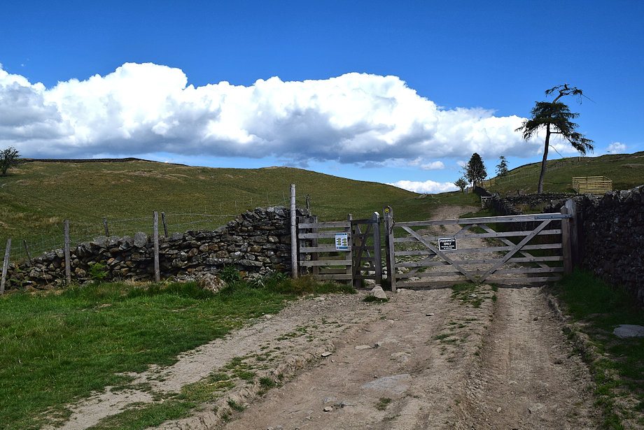
| Looking back to the Coniston Fells and Crinkle Crags from the Dales Way track |
 |
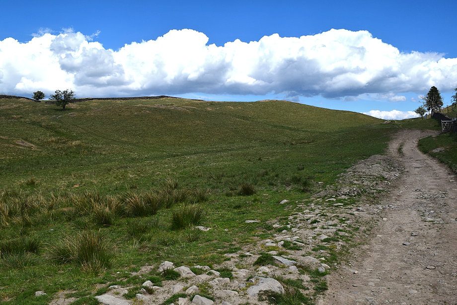
| The final gate before reaching Schoolknott Tarn |
 |
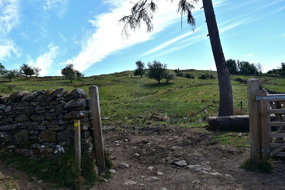
| The track leading up to Schoolknott Tarn from the gate |
 |
| The Dales Way path turns off through a gate on the right bound for Hag End, we continue on the track to Schoolknott Tarn |
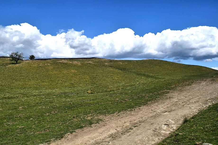 |
| School Knott from the track to Schoolknott Tarn |
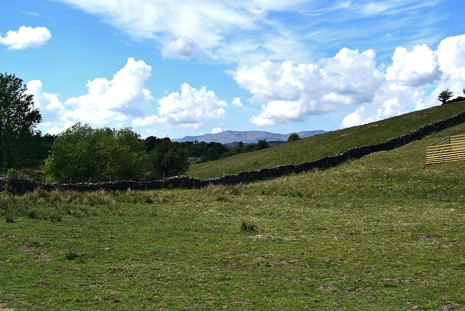 |
| Looking back to Coniston Old Man |
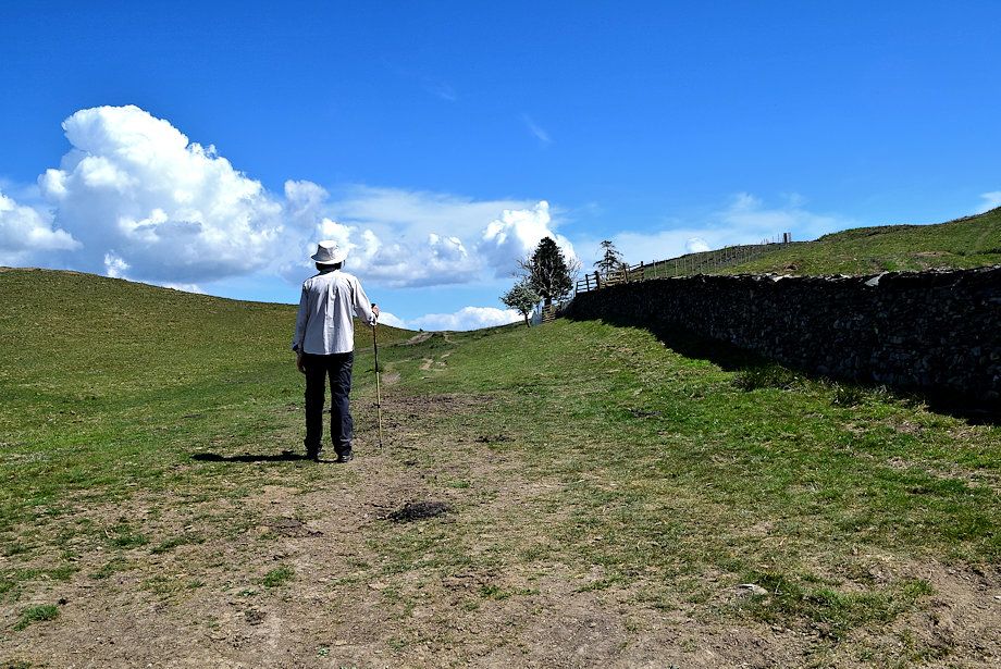 |
| Approaching the col between School Knott and Grandsire, the tarn lies just beyond the trees |
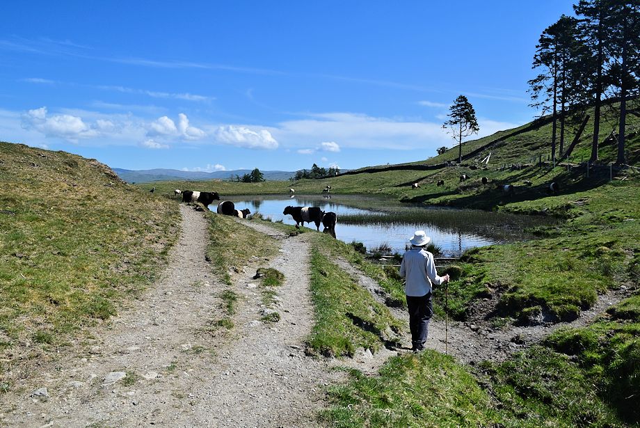 |
| Schoolknott Tarn |
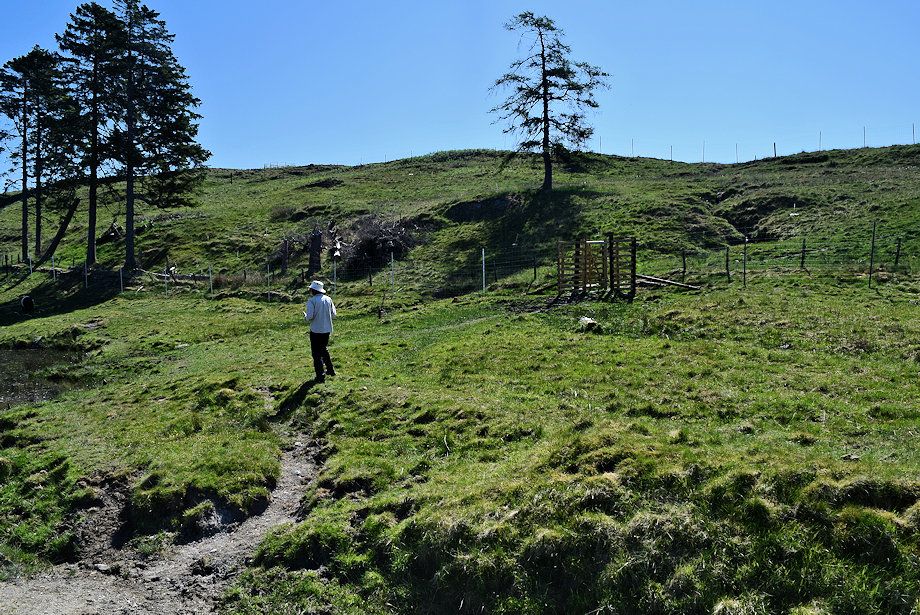 |
| We cross the small outflow of the tarn to pass through a gate in a deer fence |
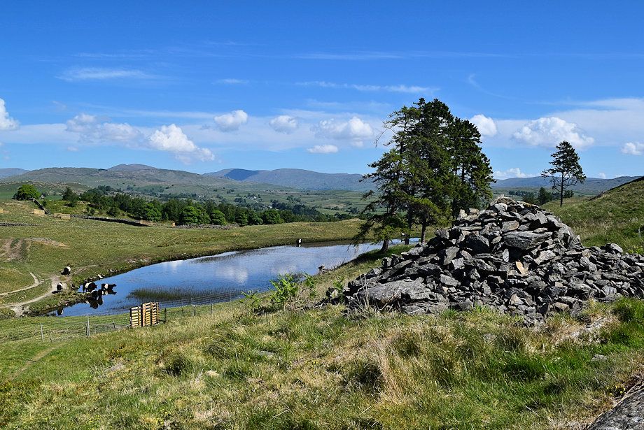 |
| Looking down to Schoolknott Tarn from the path in the fenced off area |
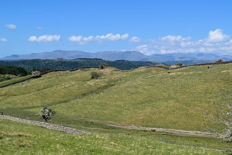 |
| Looing over to The Coniston Fells and Crinkle Crags |
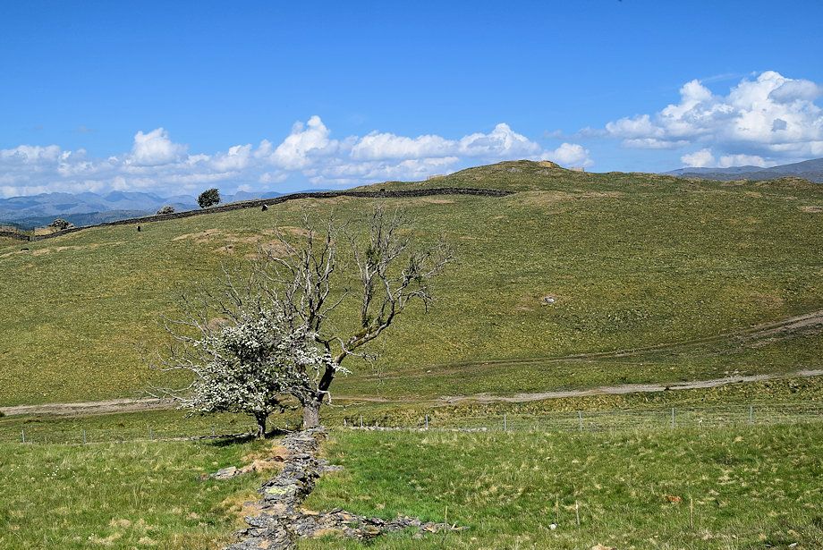 |
| School Knott |
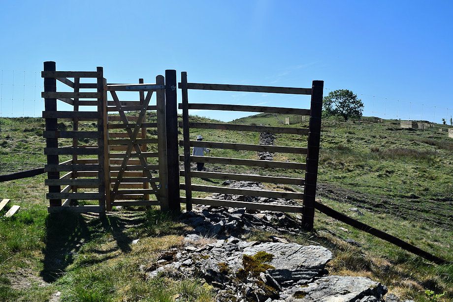 |
| Leaving the fenced off area via another gate in the deer fence |
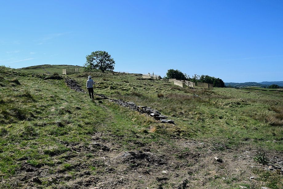 |
| Above the gate the path follows the course of a collapsed wall to rejoin the Dales Way where it passes a prominent tree which AW mentions in his guide to the Outlying Fells |
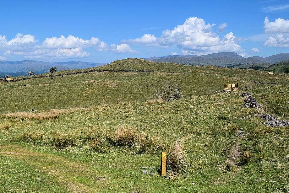 |
| Rejoining the Dales Way path |
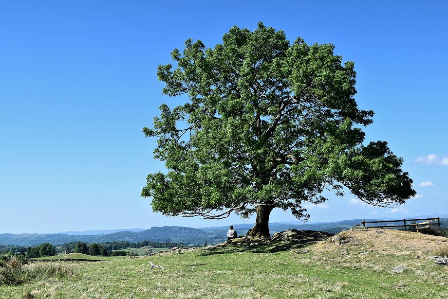 |
| Passing the prominent tree |
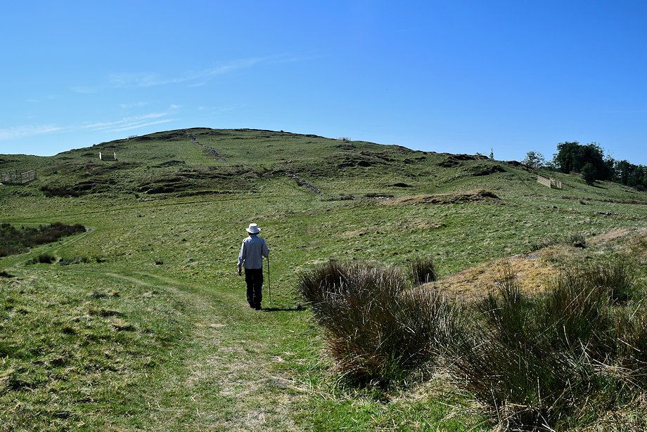 |
| We only follow the Dales Way path for a few yards before leaving it to start the short climb to the summit of Cleabarrow Hill |
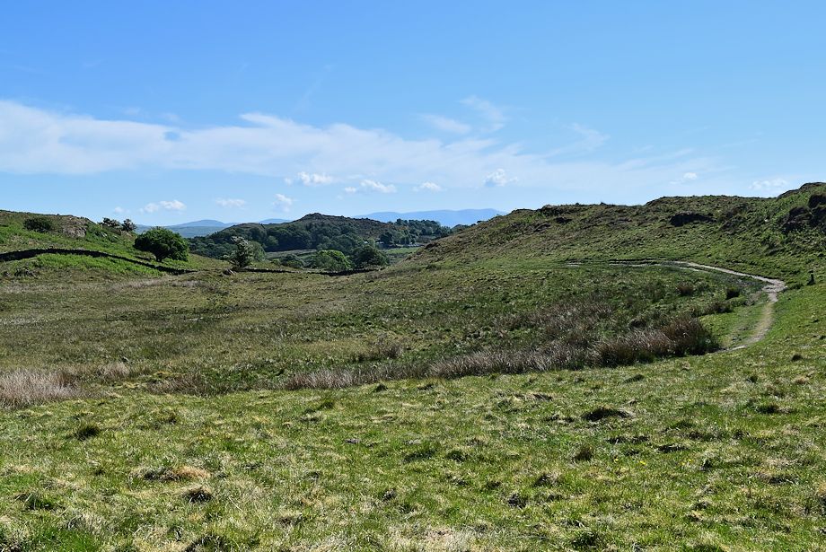 |
| The Dales Way path continues on towards Hag End |
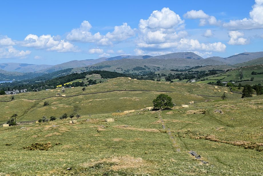 |
| Looking back from the climb to Cleabarrow Hill |
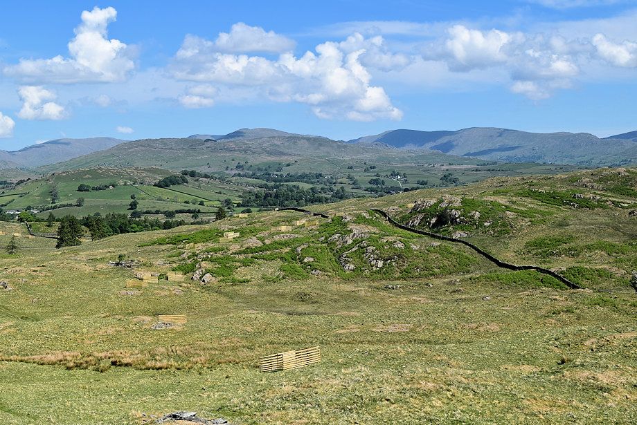 |
| The Far Eastern Fell of Caudale Moor, Sour Howes, Thornthwaite Crag, Ill Bell, Yoke, Harter Fell, Kentmere Pike and Shipman Knotts on the horizon from Cleabarrow Hill |
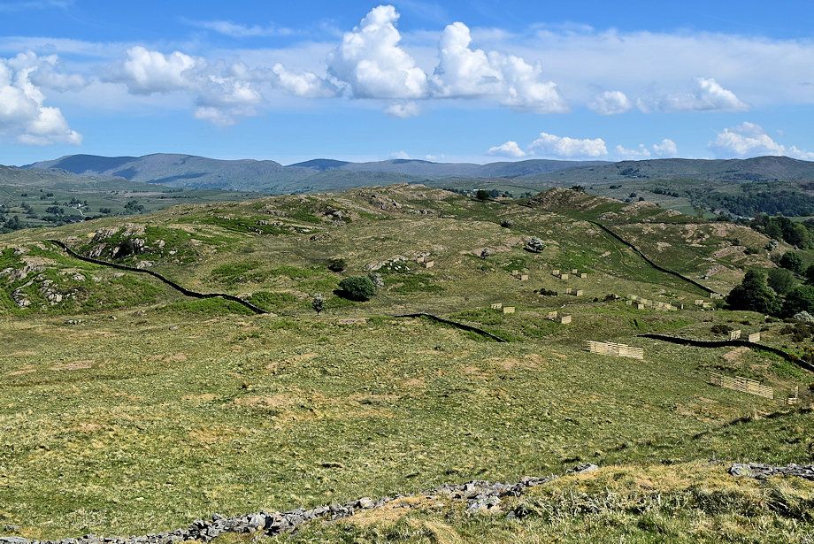 |
| Grandsire from Cleabarrow Hill |
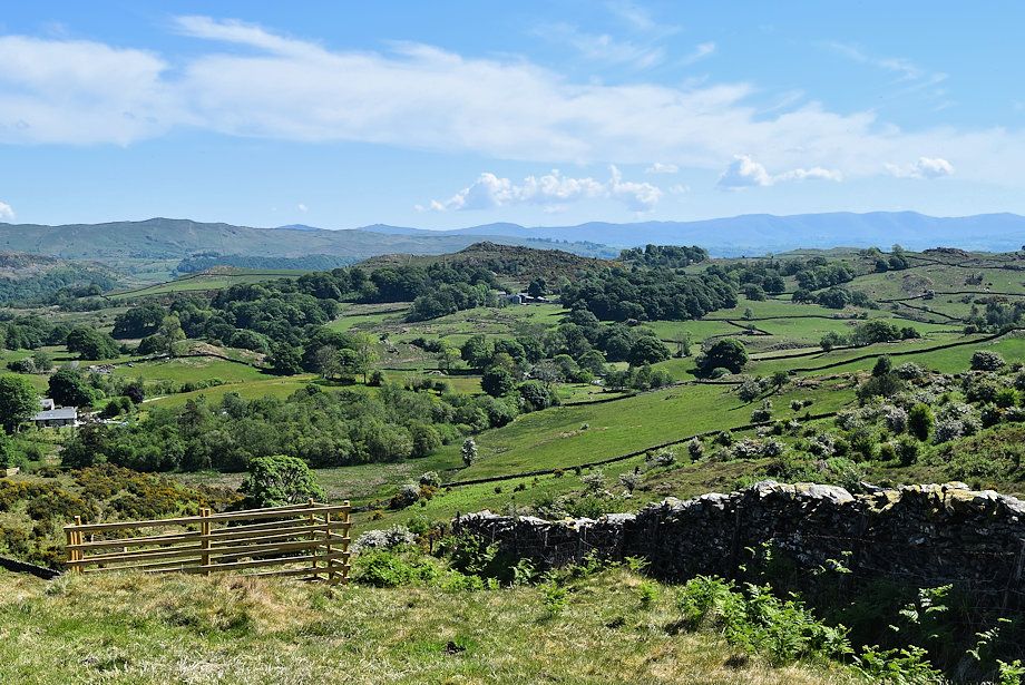 |
| Borwick Hill in the middle distance from Cleabarrow Hill |
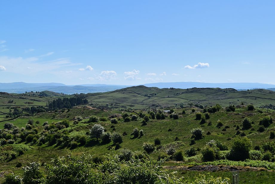 |
| Crook Knott from Cleabarrow Hill |
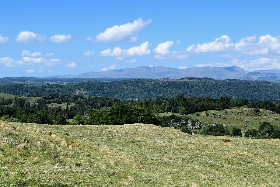 |
| The Coniston Fells from Cleabarrow Hill |
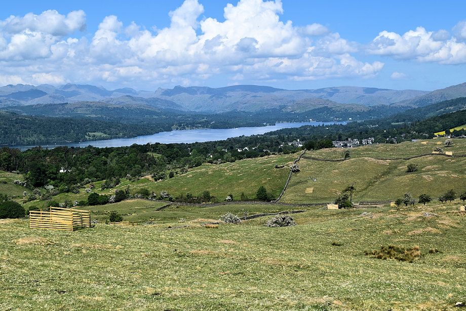 |
| Windermere from Cleabarrow Hill |
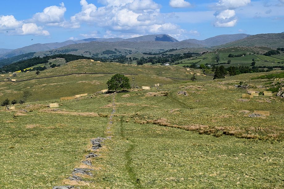 |
| Heron Pike, Great Rigg, Fairfield, Hart Crag, Dove Crag, Red Screes, St. Raven's Edge, Caudale Moor and Sour Howes on the horizon as we descend back down to the prominent tree |
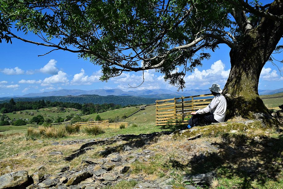 |
| Time for a break beside the tree which occupies a wonderful viewpoint |
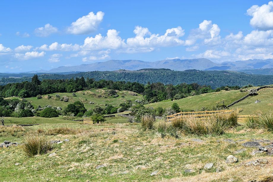 |
| The Coniston Fells from the tree |
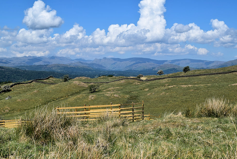 |
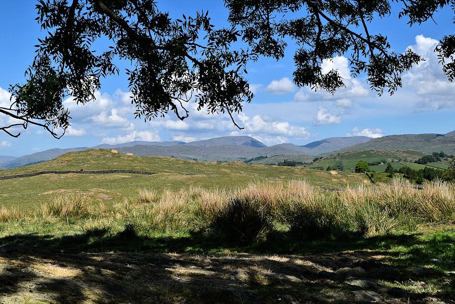
| Crinkle Crags, Scafell Pike, Bowfell, Allan Crags, The Langdale Pikes, High Raise and Ullscarf from the tree |
 |
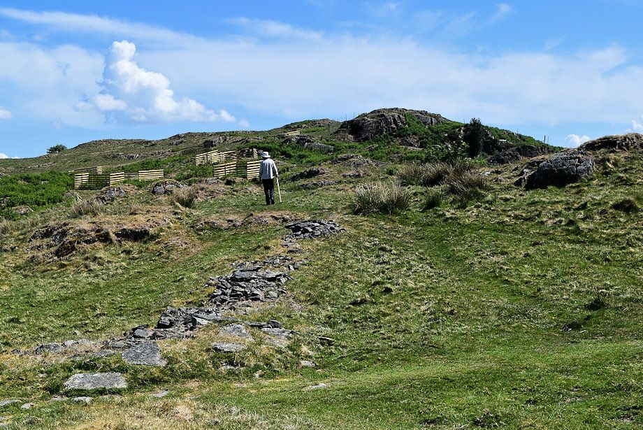
| Heron Pike, Great Rigg, Fairfield, Hart Crag, Dove Crag, Red Screes, St. Raven's Edge, Caudale Moor and Sour Howes on the horizon, with School Knott in the middle distance on the left |
 |
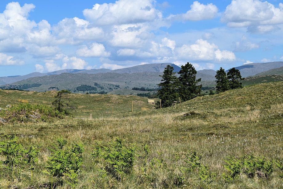
| A path to the summit of Grandsire starts almost directly opposite the tree |
 |
| Looking over towards Red Screes |
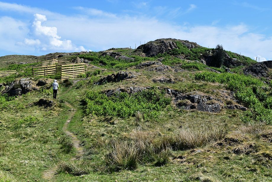 |
| The numerous wooden enclosures in the surrounding area have been installed by the Matson Ground Estate to protect tree saplings from grazing animals including deer |
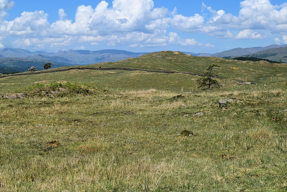 |
| Looking over to School Knott's summit |
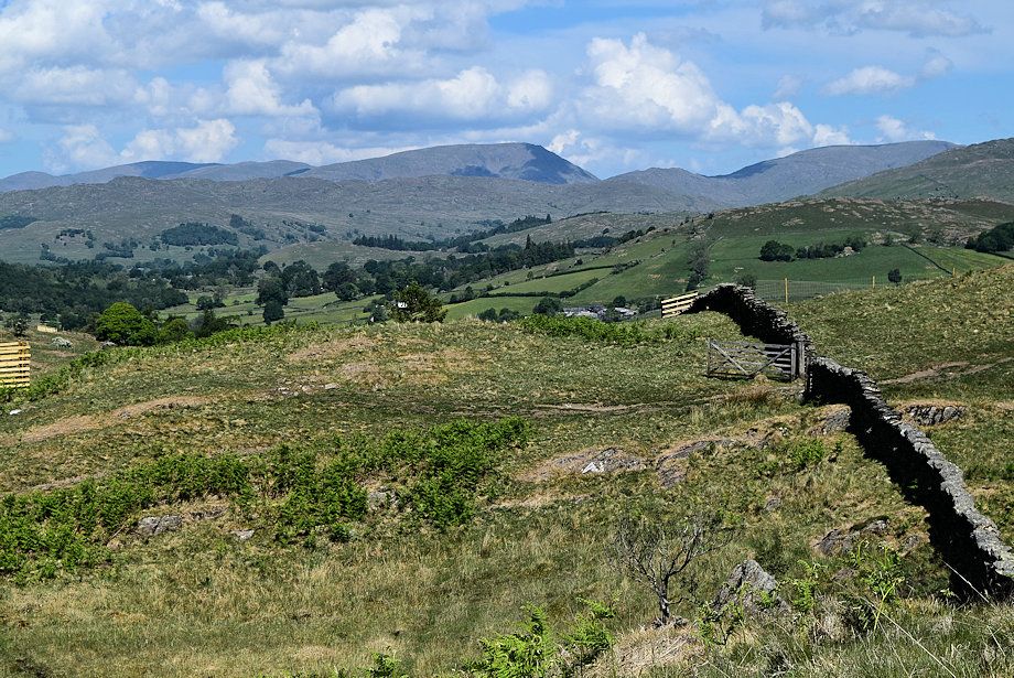 |
| Red Screes from the cross-ridge wall on Grandsire |
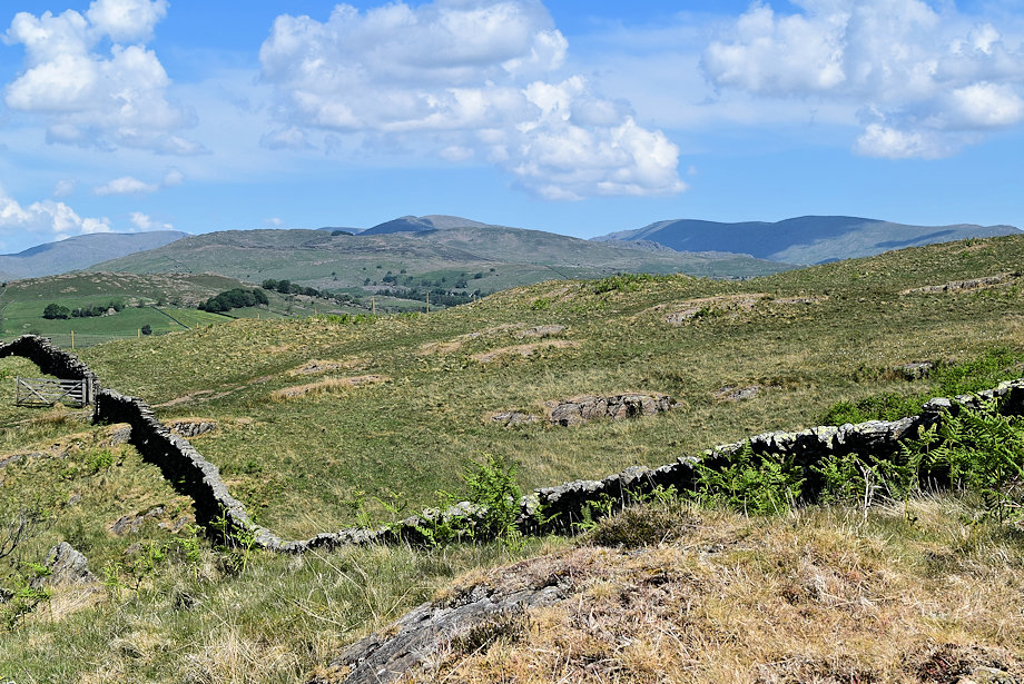 |
| Caudale Moor, Sour Howes, Ill Bell, Yoke, Harter Fell,and Kentmere Pike from the cross-ridge wall |
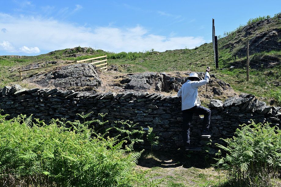 |
| We cross the wall via a built-in slile which is next to a deer fence ..... |
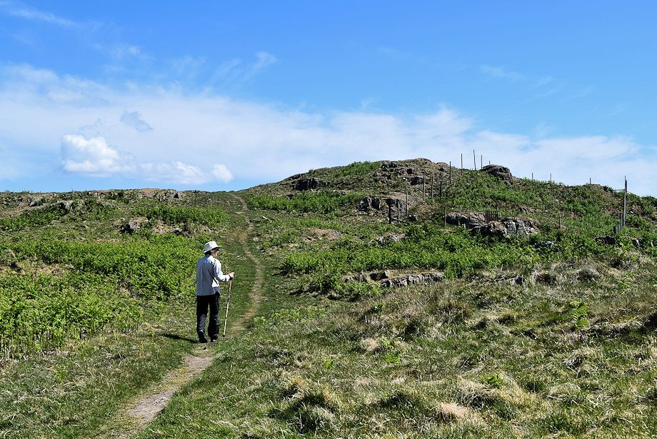 |
| .... and follow the path beside the deer fence |
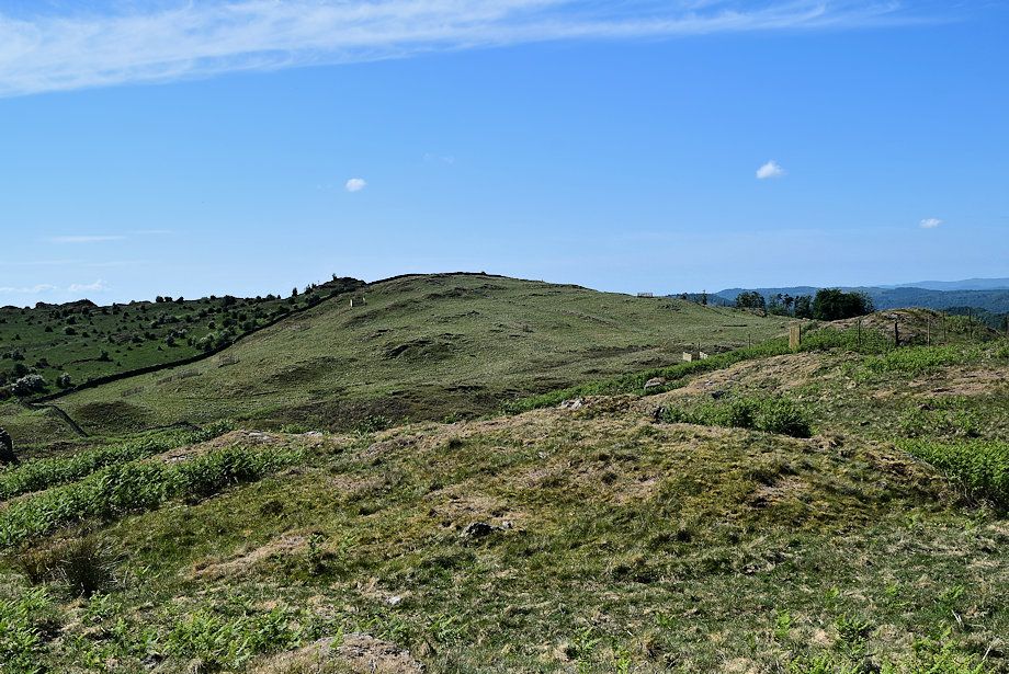 |
| Looking over towards Cleabarrow Hill |
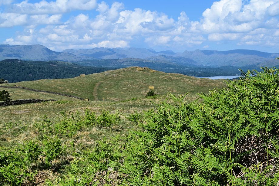 |
| A small section of Windermere appears to the right of School Knott |
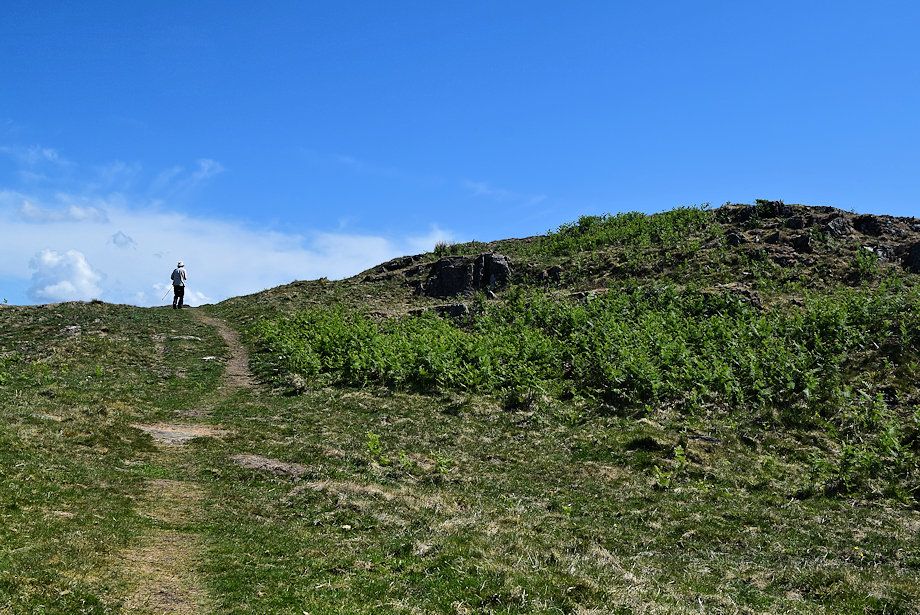 |
| As the deer fence turns away the path rises to a point where the summit of Grandsire will come into view |
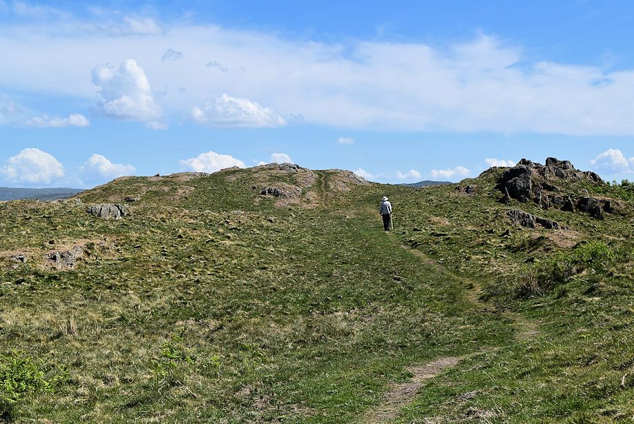 |
| The summit lies across a shallow depression on the ridge |
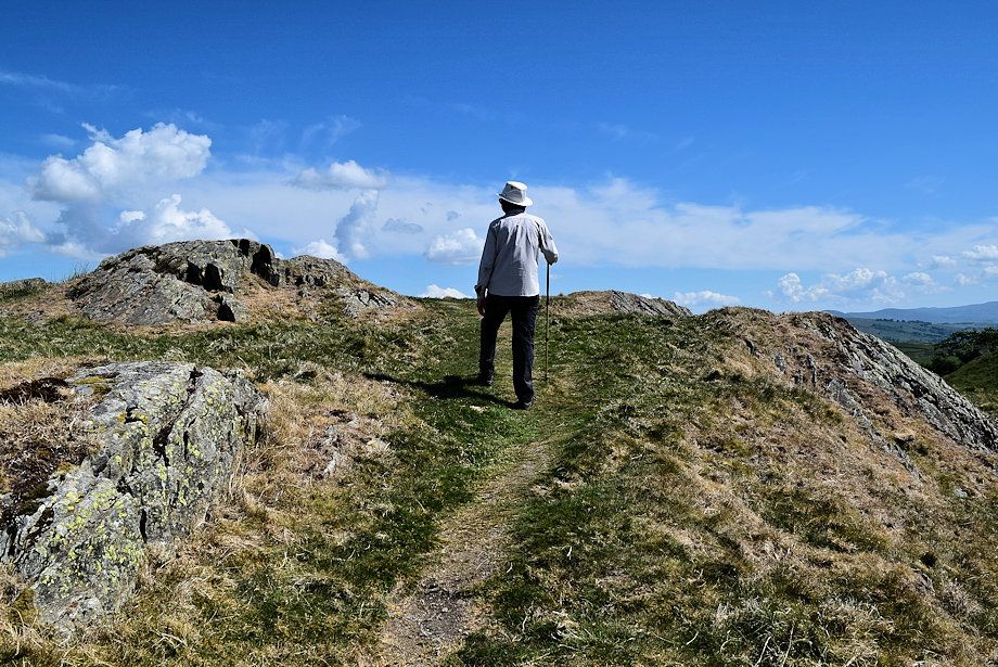 |
| Approaching the summit of Crandsire |
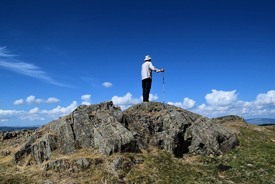 |
| The summit of Grandsire, a bare rock platform |
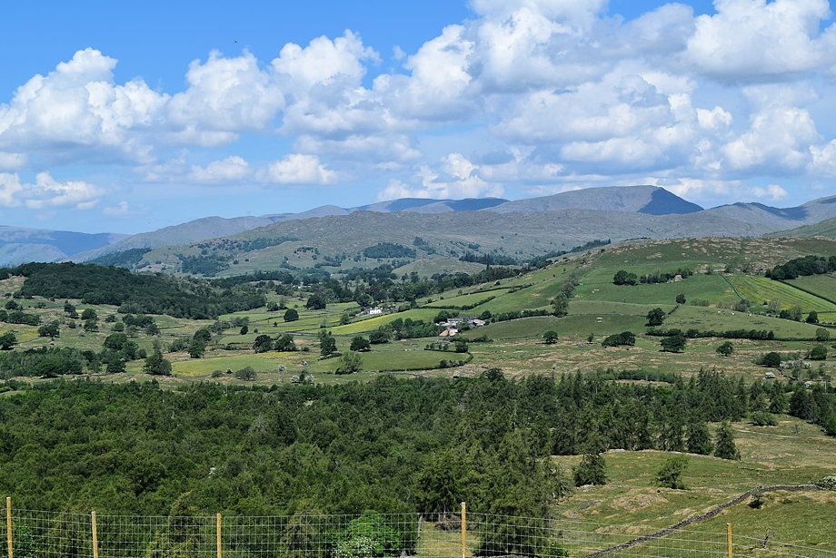 |
| Heron Pike, Great Rigg, Fairfield, Hart Crag, Dove Crag, Red Screes and St. Raven's Edge from the summit of Grandsire |
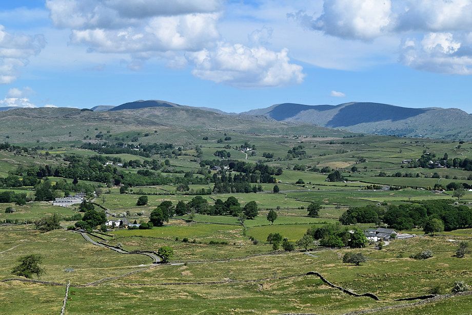 |
| Sour Howes, Thornthwaite Crag, Ill Bell, Yoke, Harter Fell, Kentmere Pike and Shipman Knotts from the summit of Grandsire |
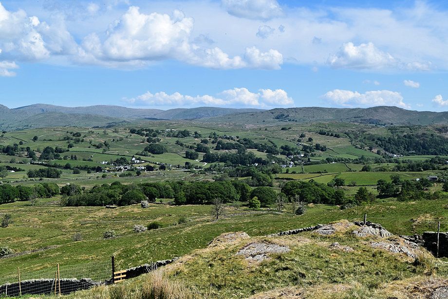 |
| Tarn Crag, Grey Crag, Ancrow Brow, Swinklebank Crag, Sleddale Forest and Brunt Knott from the summit of Grandsire |
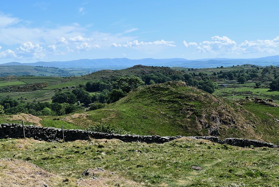 |
| Borwick Hill with The Howgills beyond it on the horizon |
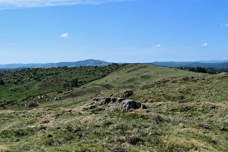 |
| Birch Fell and Gummer's How with Clearbarrow Hill in the near distance |
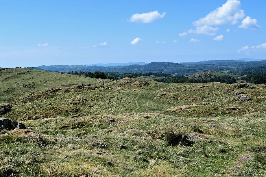 |
| Looking back along the ridge path from the summit of Grandsire |
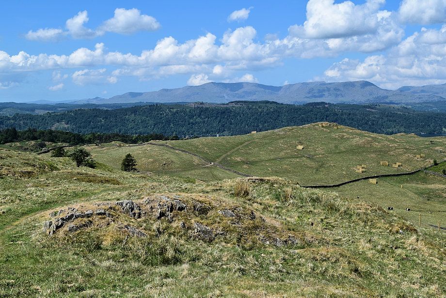 |
| The Coniston Fells on the horizon from the summit of Grandsire |
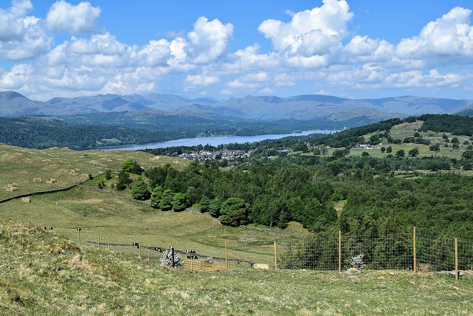 |
| Windermere from the summit of Grandsire |