
| Gowbarrow Fell - Route One |
| Start - Park Brow Foot NY 399 199 | Distance - 2.5 miles | Ascent - 1,290 feet | Time - 1 hour : 35 minutes |
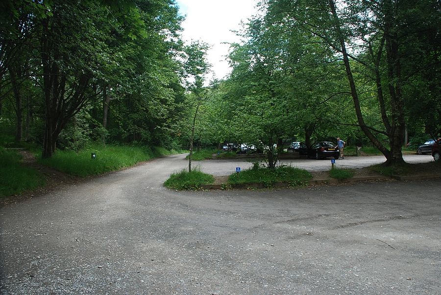 |
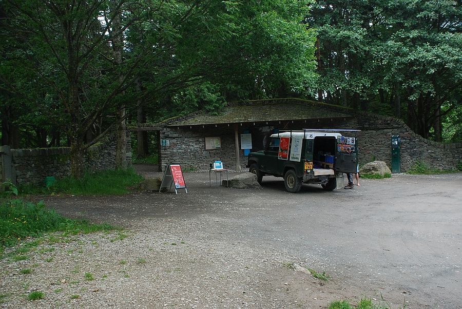
| The Aira Force National Trust car park is the starting point for this walk |
 |
| A gate at the northern end of the car park gives access to a woodland path alongside Aira Beck |
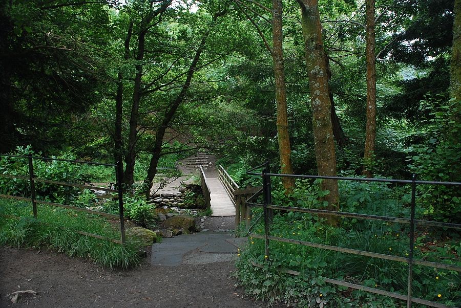 |
| A quarter of a mile from the car park a path descends to cross a footbridge over Aira Beck |
 |
| Aira Beck from the footbridge |
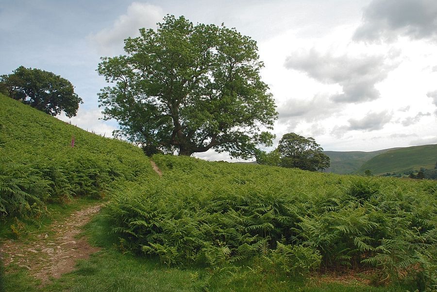 |
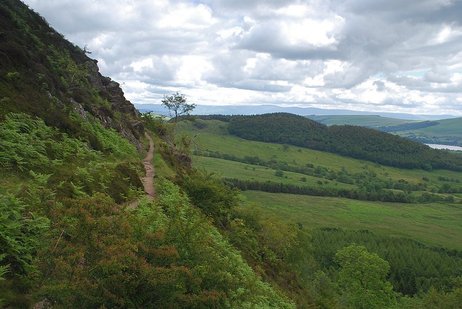
| A couple of hundred yards from the footbridge leave the main path, which continues on to Aira Force, by a gate which gives access to the open fellside. This is the start of the Kirkstyle path which traverses across the southern slopes of the fell |
 |
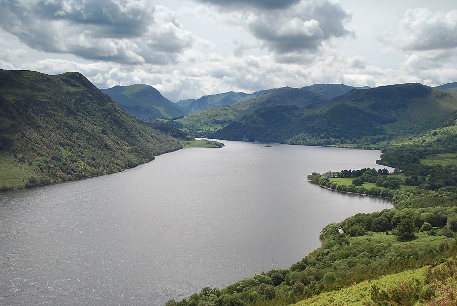
| Ullswater from the start of the Kirkstyle path |
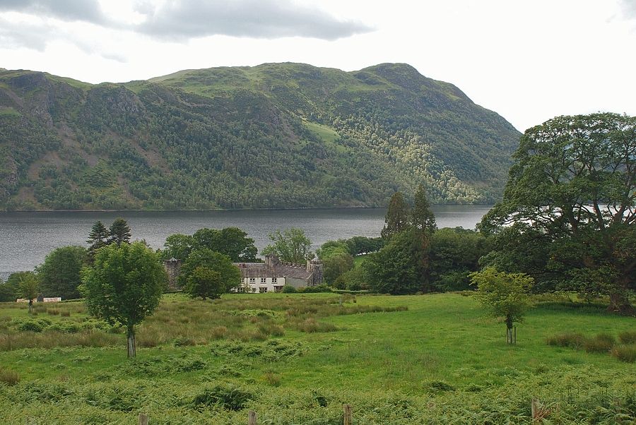 |
| Looking across to Lyulph's Tower |
 |
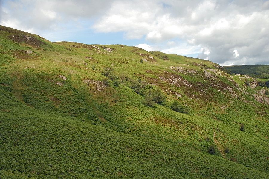
| After a few hundred yards of fairly level walking the path forks with the left branch beginning to climb the steep fellside beneath Hind Crag |
 |
| Ullswater from the path below Hind Crag |
 |
| Looking across Ullswater to Hallin Fell backed by Bonscale Pike and Loadpot Hill |
 |
| Looking back down the steep section of the path below Hind Crag |
 |
| After the first steep section the path continues more evenly up the southern slopes of Green Hill heading towards a prominent cairn above Yew Crag |
 |
| Looking down on Lyulph's Tower and Ullswater from the slopes of Green Hill |
 |
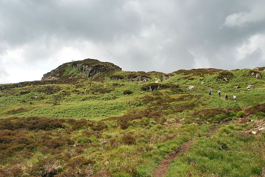
| Approaching the cairn above Yew Crag which is accessed via a stile in the fence |
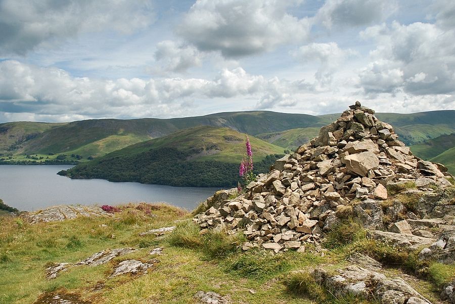 |
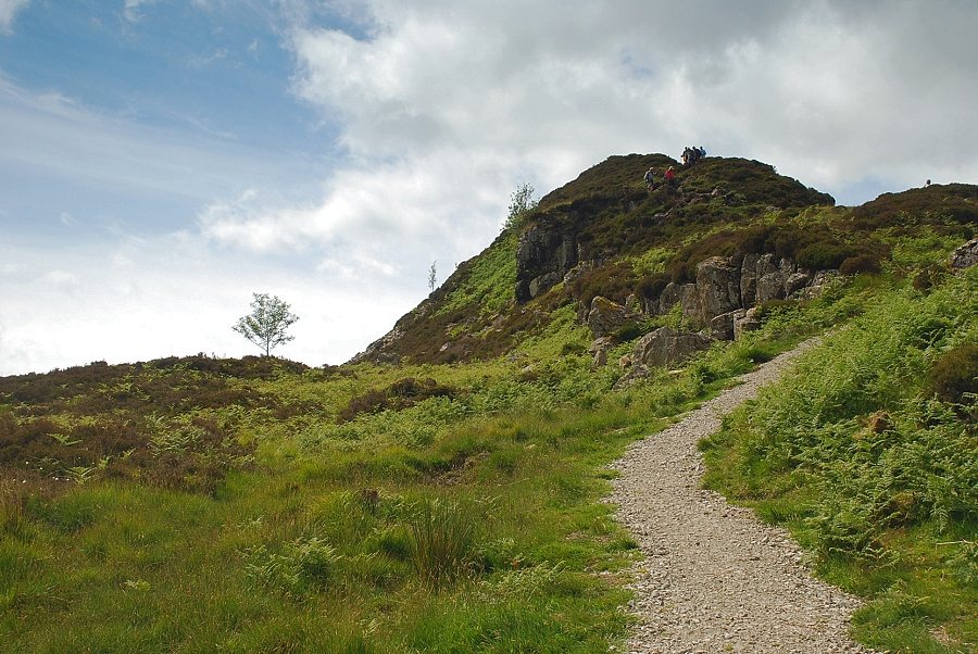
| The viewpoint cairn above Yew Crag |
 |
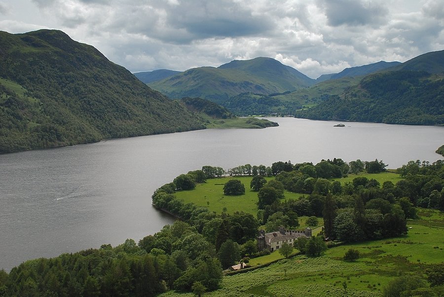
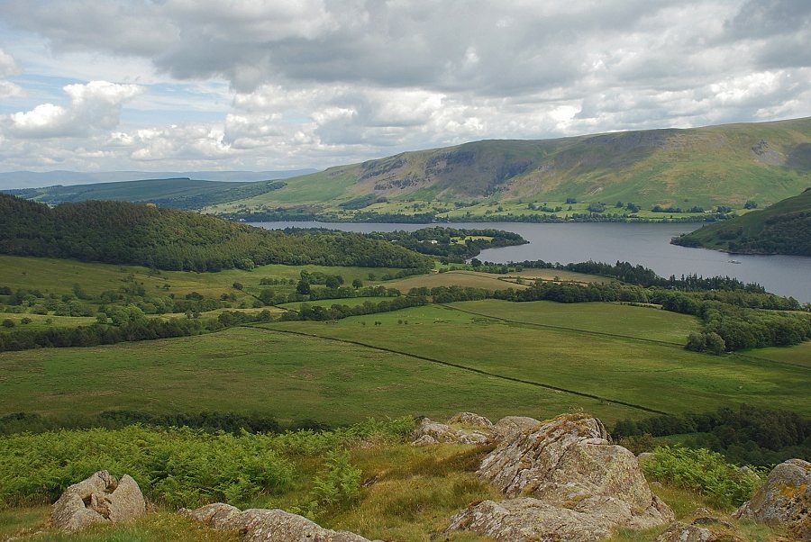
| The lower reaches of Ullswater from Yew Crag |
 |
| Martindale across Ullswater from Yew Crag |
 |
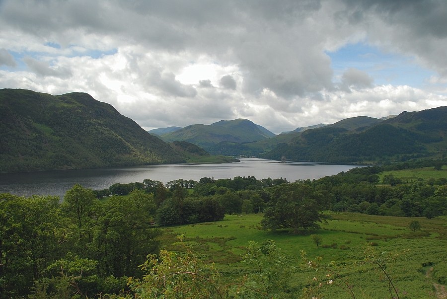
| The head of Ullswater from Yew Crag |
 |
| Rejoining the main path which now begins to turn northwards to traverse across the eastern slopes of Gowbarrow Fell |
 |
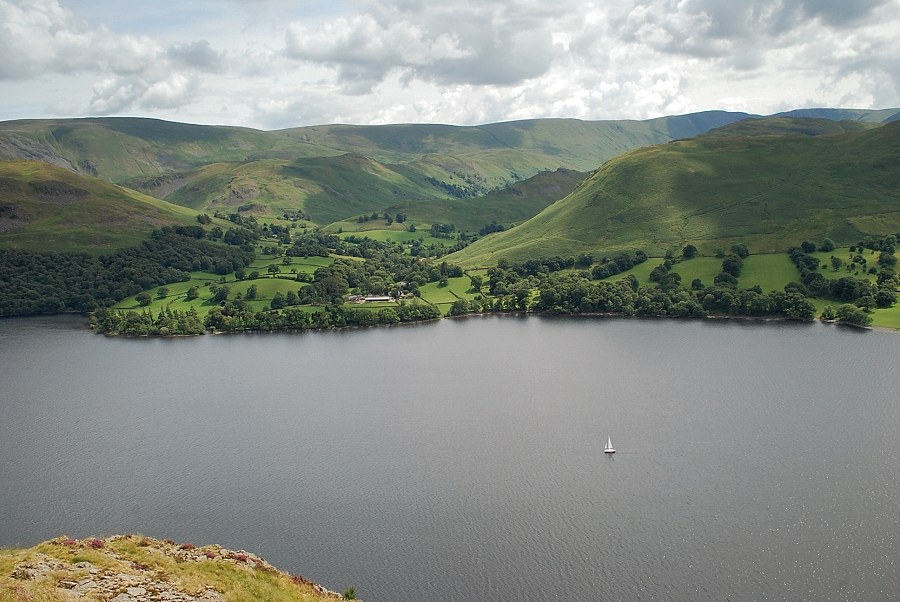
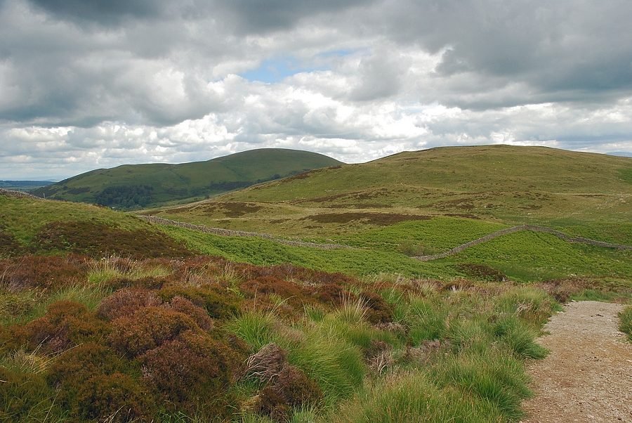
| Looking across Swinburn's Park, the domed top of Little Mell Fell appears over the summit ridge of Little Meldrum |
 |
| A last look back to the head of Ullswater as the path turns to the north |
 |
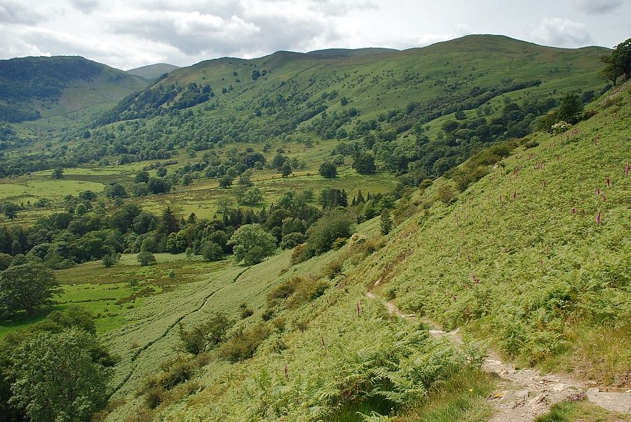
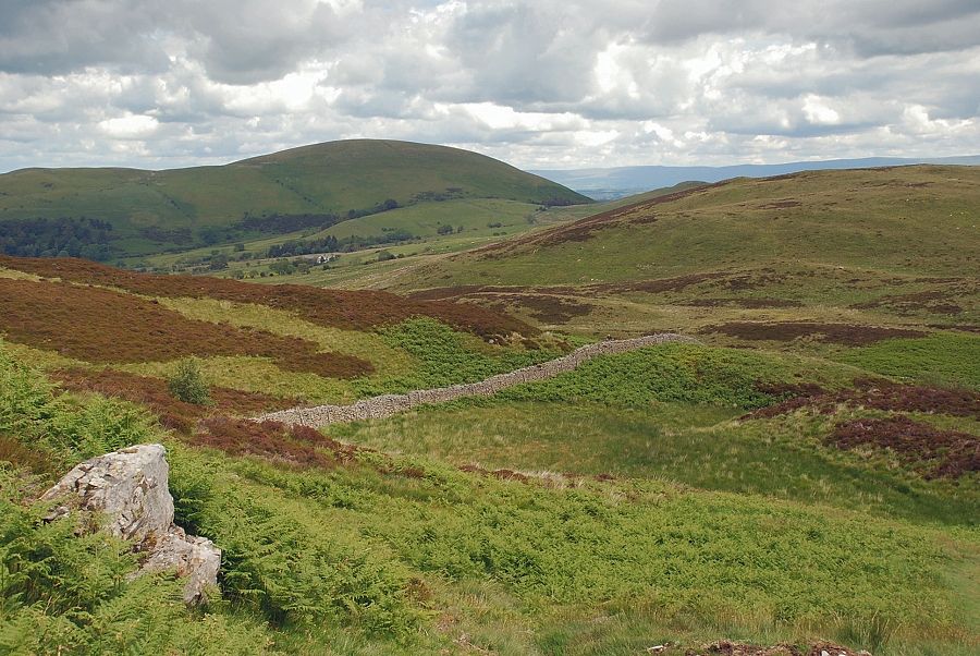
| The path makes a wide sweep around and above the gills and crags on the eastern slope of Gowbarrow Fell which are oddly named Collier Hagg |
 |
| Looking back along the eastern slopes to Place Fell |
 |
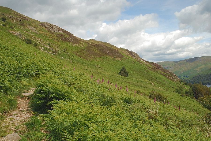
| Ullswater from the eastern slopes of Gowbarrow Fell |
 |
| Approaching the terrace path above Collier Hagg |
 |
| Looking back from Collier Hagg to Place Fell |
 |
| The terrace path above the ravines of Collierhagg Beck |
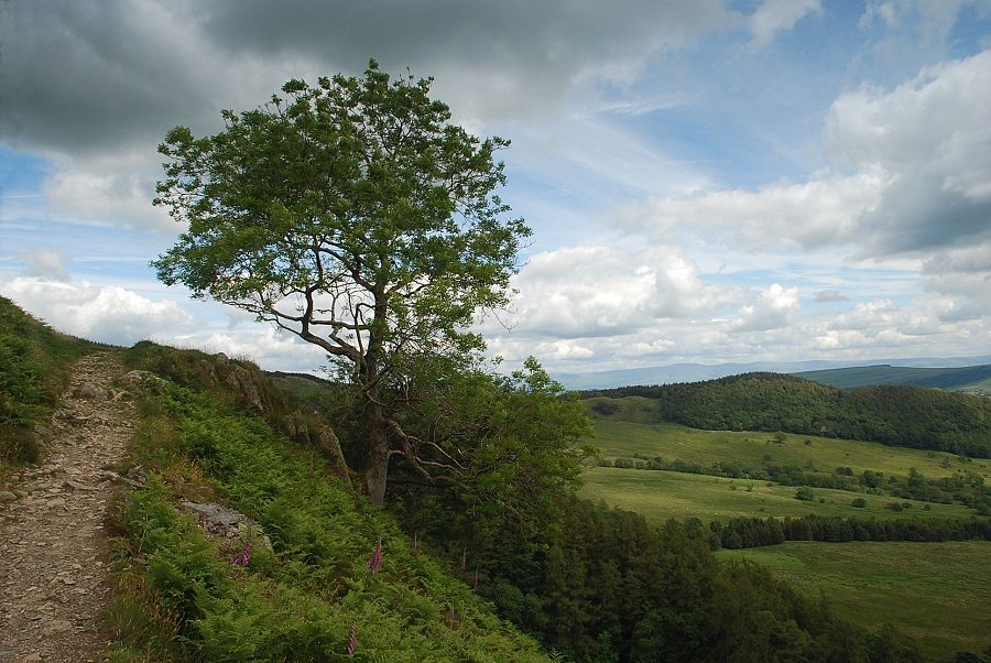 |
| A prominent tree stands at the end of the terrace. The path continues on towards the remains of the old Shooting Lodge |
 |
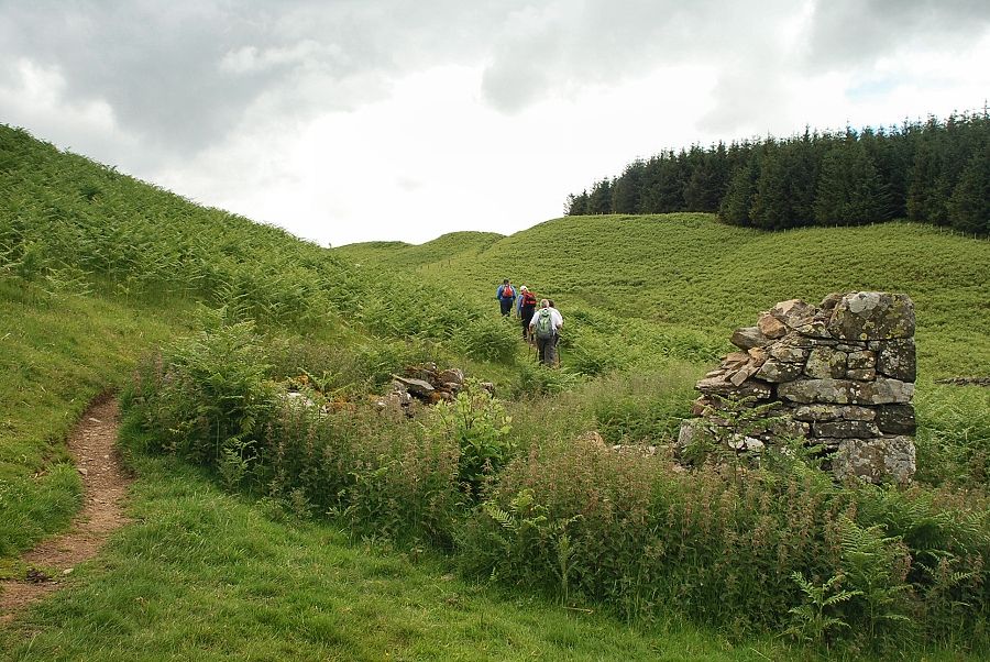
| Looking back along the approach path to the old Shooting Lodge |
 |
| The remains of the old Shooting Lodge |
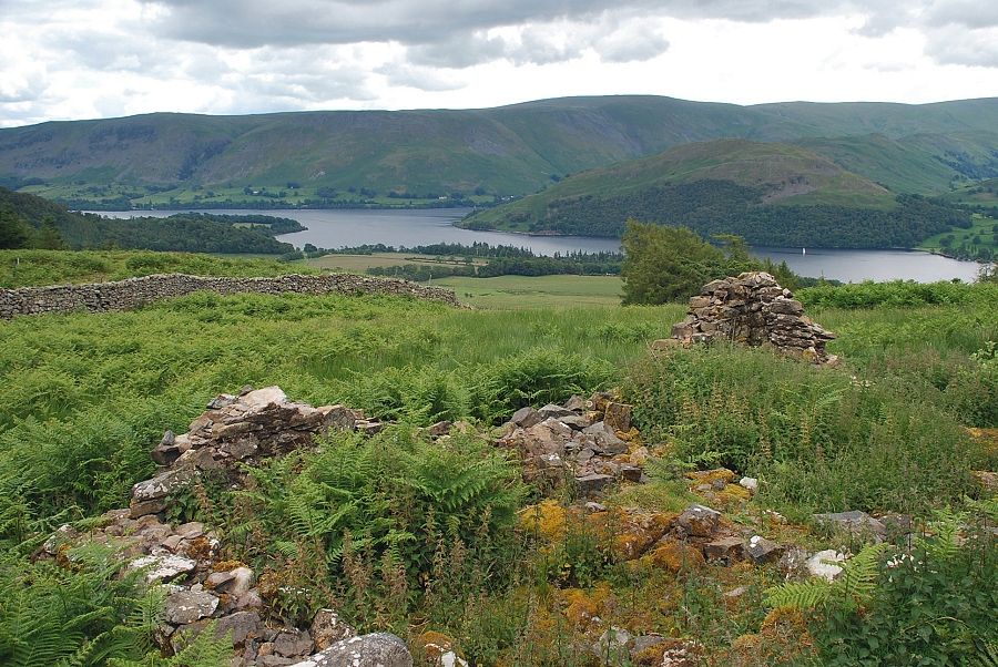 |
| Ullswater from the ruined shooting lodge |
 |
| The Kirkstyle path continues on over a wall stile into the woods above Swinburn's Park. The path to the summit of Gowbarrow Fell follows the wall |
 |
| Little Mell Fell comes into view across the slopes of Great Meldrum as the path approaches the watershed |
 |
| Airy Crag, the summit of Gowbarrow Fell |
 |
| Approaching the summit of Gowbarrow Fell |
 |
| Looking back to Little Mell Fell and Great Meldrum |
 |
| Great Mell Fell from the summit of Gowbarrow Fell |
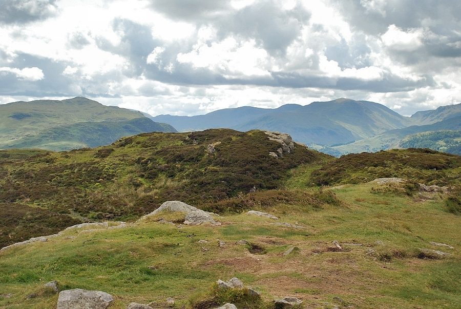 |
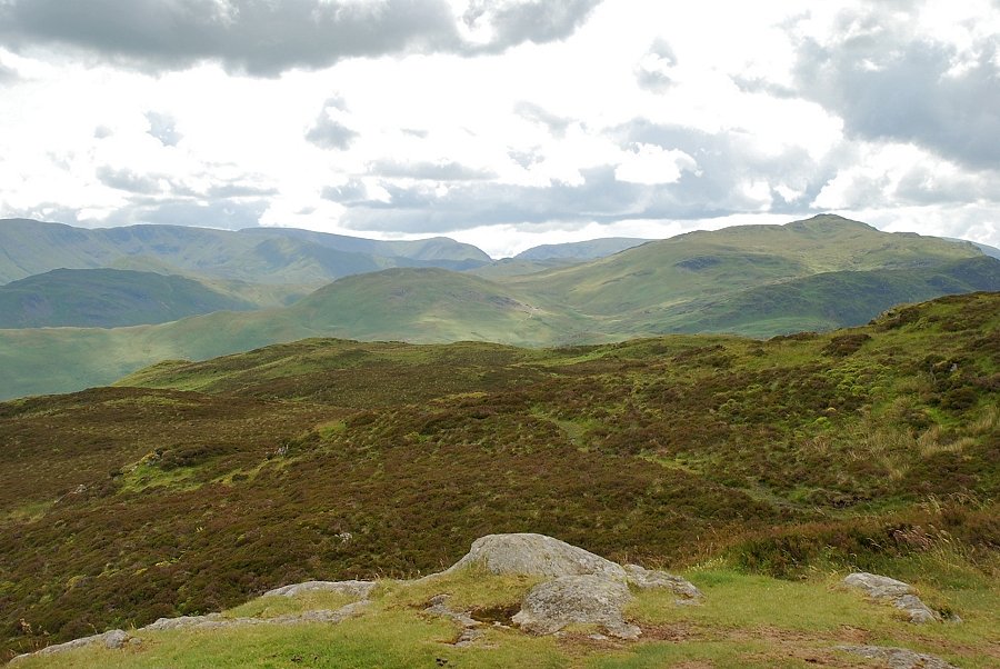
| The view looking south from the summit of Gowbarrow Fell. Place Fell, Little Hart Crag, Dove Crag, Hart Crag, St. Sunday Crag, Fairfield and Seat Sandal form the horizon |
 |
| Helvellyn on the centre skyline above Sheffield Pike |
 |
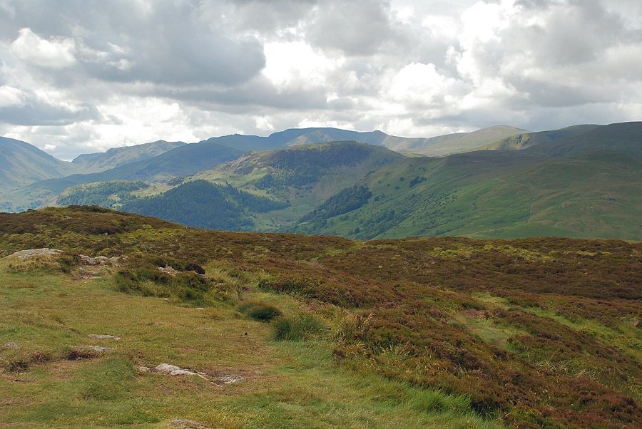
| The view to the west comprises Hart Side, Great Dodd and Clough Head |
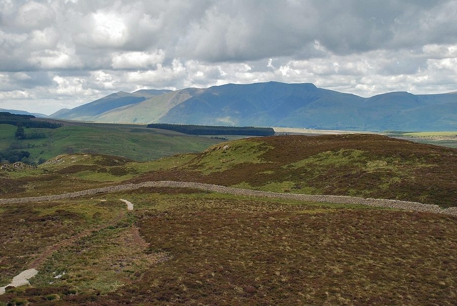 |
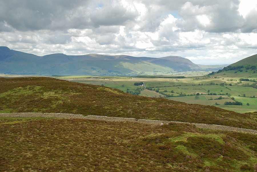
| Skiddaw and Blencathra |
 |
| Bannerdale Crags and Bowscale Fell on the skyline over Souther Fell with Carrock Fell on the right |
 |
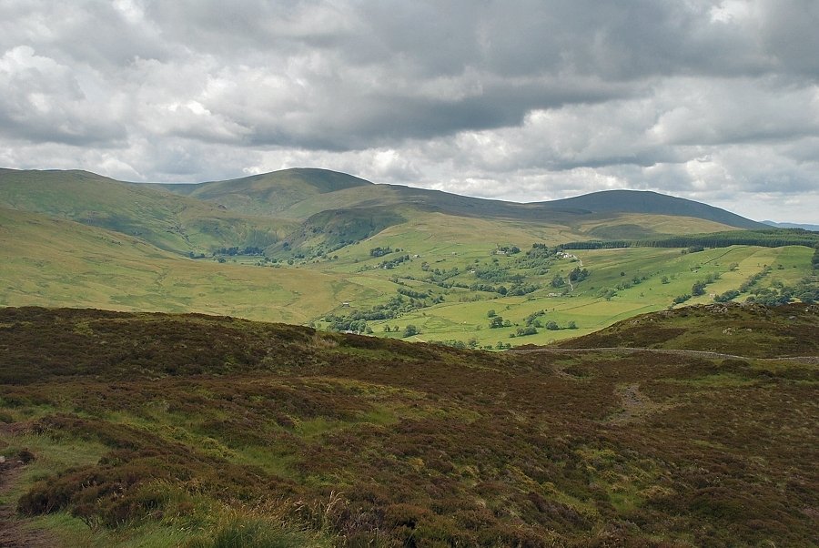
| Little Mell Fell |
 |
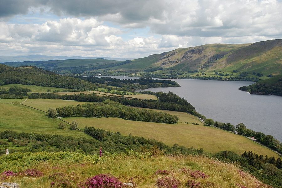
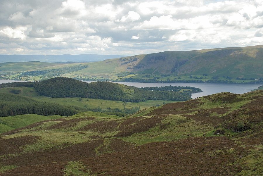
| The lower reaches of Ullswater |
 |
| Arthur's Pike and Bonscale Pike across Ullswater |
 |
| Loadpot Hill and Wether Hill above Hallin Fell and Steel Knotts |
 |
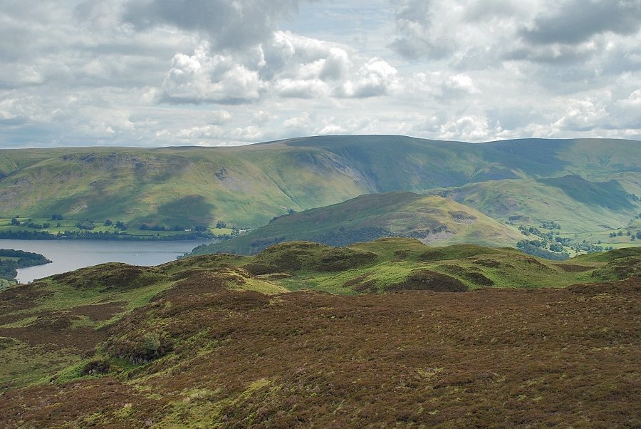
| High Raise, Rampsgill Head, High Street, Thornthwaite Crag, Caudale Moor and Place Fell form the skyline |
|