
| Froswick - Route One |
| Start - Town End NY 414 039 | Distance - 4 miles | Ascent - 1,970 feet | Time - 2 hours : 30 minutes |
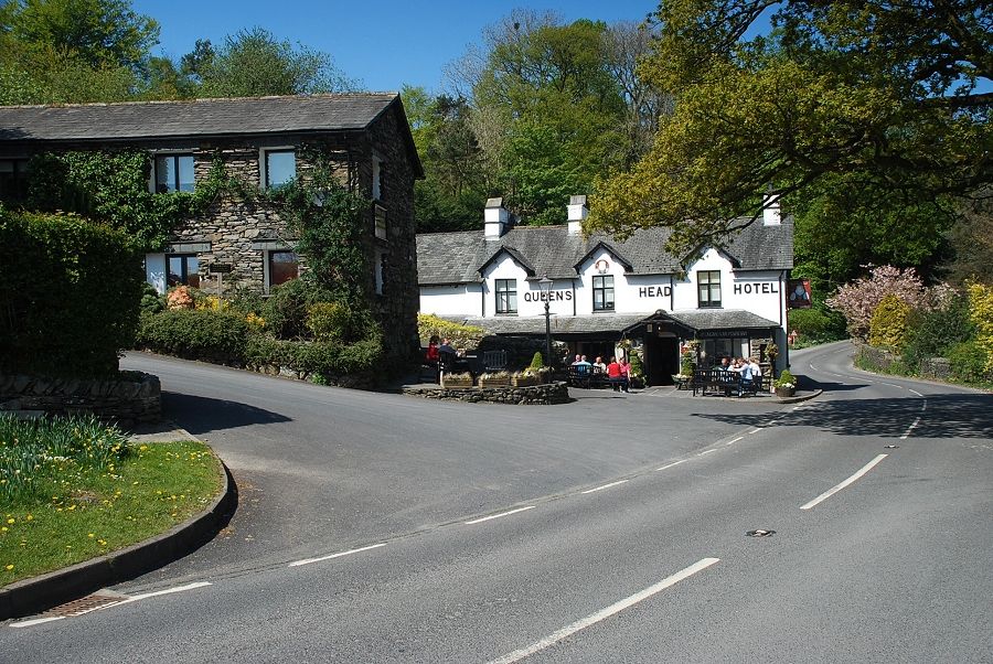 |
| The Queen's Head Hotel in Troutbeck at the start of the walk. There is lay-by parking available to the north and south of the hotel |
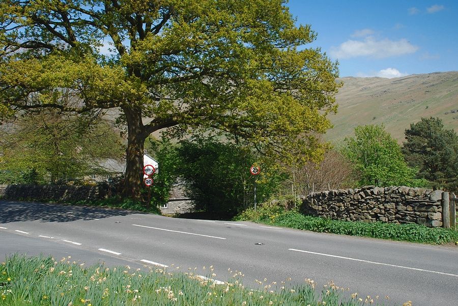 |
| Opposite the hotel a narrow lane descends steeply through the hamlet of Town End to meet Ing Lane |
 |
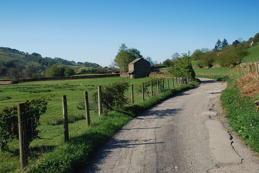
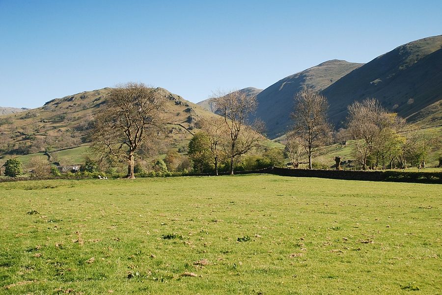
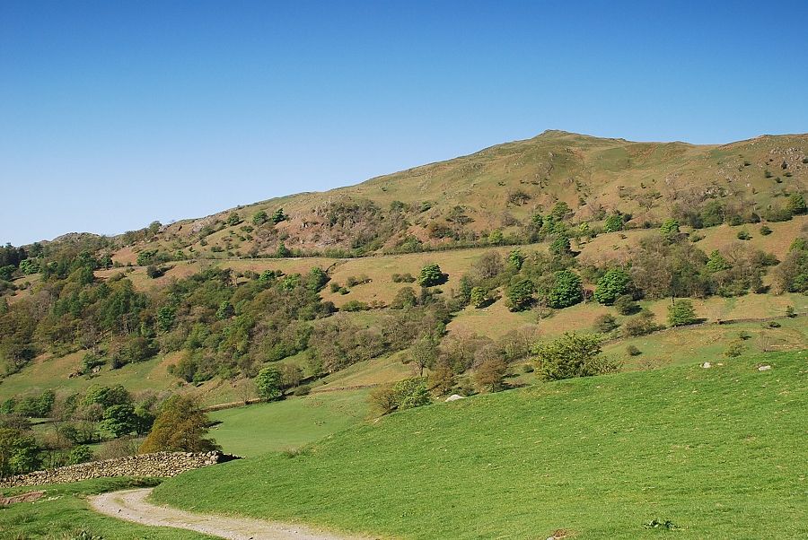
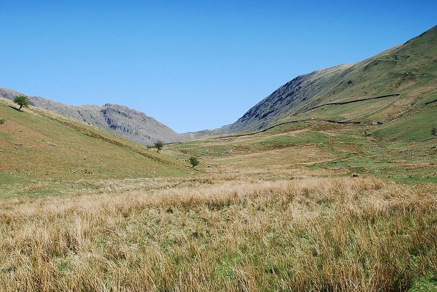
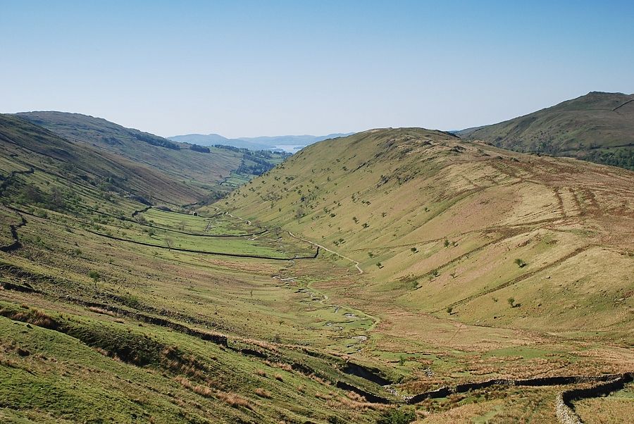
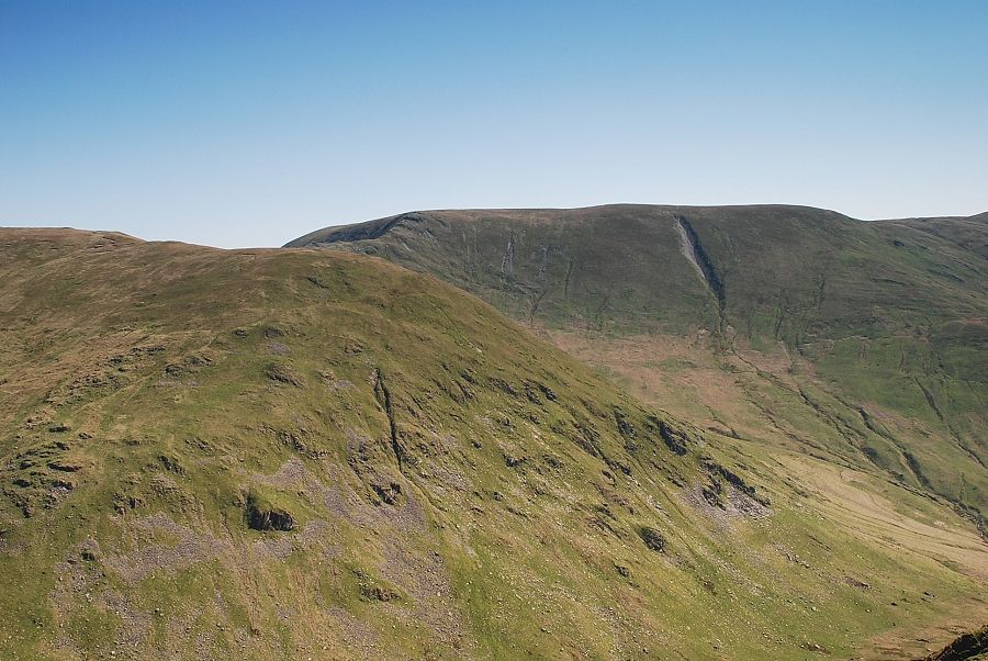
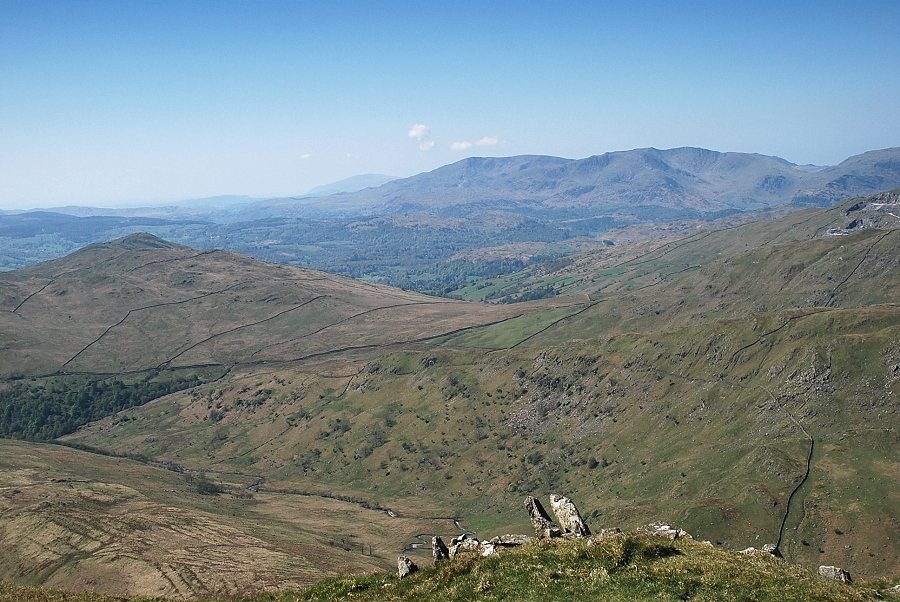
| Walking along Ing Lane towards Troutbeck Park Farm. The route passes to the right of Troutbeck Tongue, seen here above the barn, and into the shadowed valley of Hagg Gill. On the right skyline are Yoke, Ill Bell, Froswick and Thornthwaite Crag |
 |
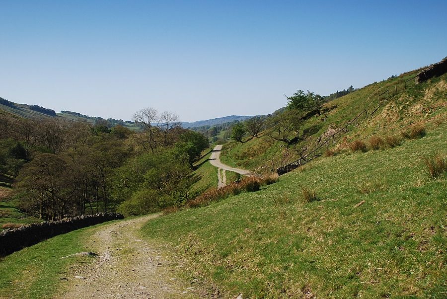
| Looking back along Ing Lane |
 |
| Approaching Ing Bridge which spans Trout Beck |
 |
| Troutbeck Tongue from Ing Bridge |
 |
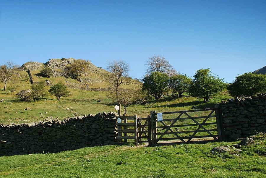
| As the lane approaches Troutbeck Park Farm a fingerpost sign directs walkers across an open field towards Hagg Gill. The stile may seem superfluous but quite often there is a single strand electric fence in use here, not today though |
 |
| It's lambing time and there were a lot of new born lambs and anxious ewes about. I tried to avoid them by taking a meandering course through the field |
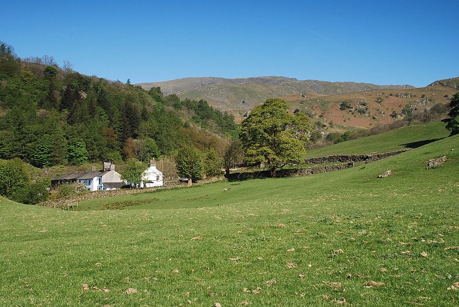 |
| Looking across the lambing field to Troutbeck Park Farm |
 |
| A gate at the top of the field gives access to a cart track which leads from the farm towards Hagg Gill |
 |
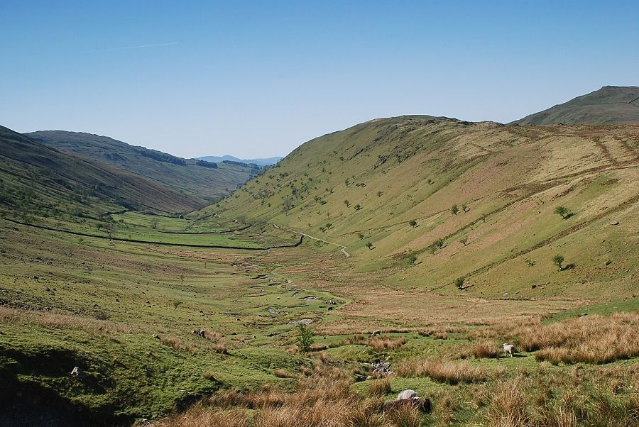
| Looking back to the Troutbeck Valley from the gate |
 |
| Froswick and Ill Bell from the cart track |
 |
| Looking across to Dodd Hill on Wansfell from the cart track |
 |
| The track descends into Hagg Gill coming close to the stream at this point where another path joins it from the old quarry road on the opposite bank |
 |
| Looking back along the cart track |
 |
| Looking up to Froswick from Hagg Gill |
 |
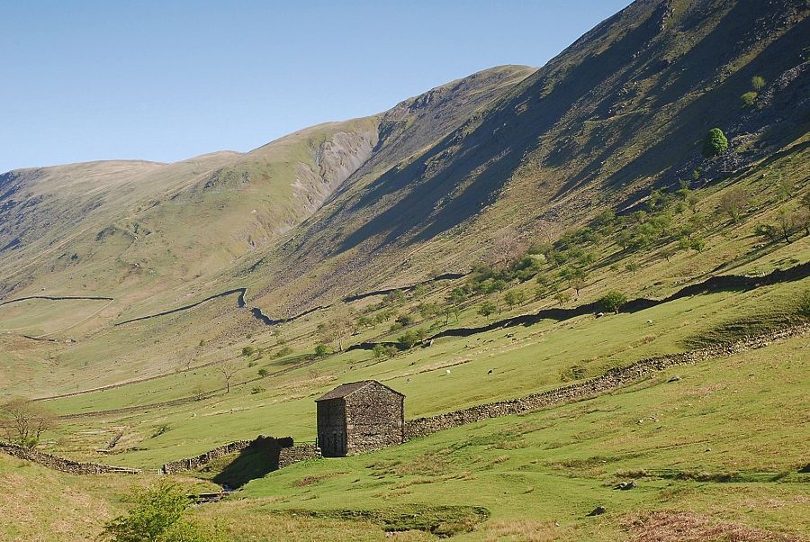
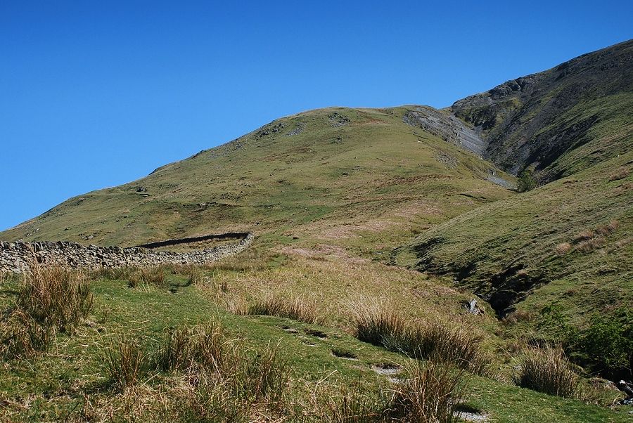
| The cart track ends as it approaches the upper part of Hagg Gill where a path rises to meet the intake wall. The start of Scot Rake can be seen above the wall corner leading across the western slopes of Froswick to meet the ridge south of Thornthwaite Crag |
 |
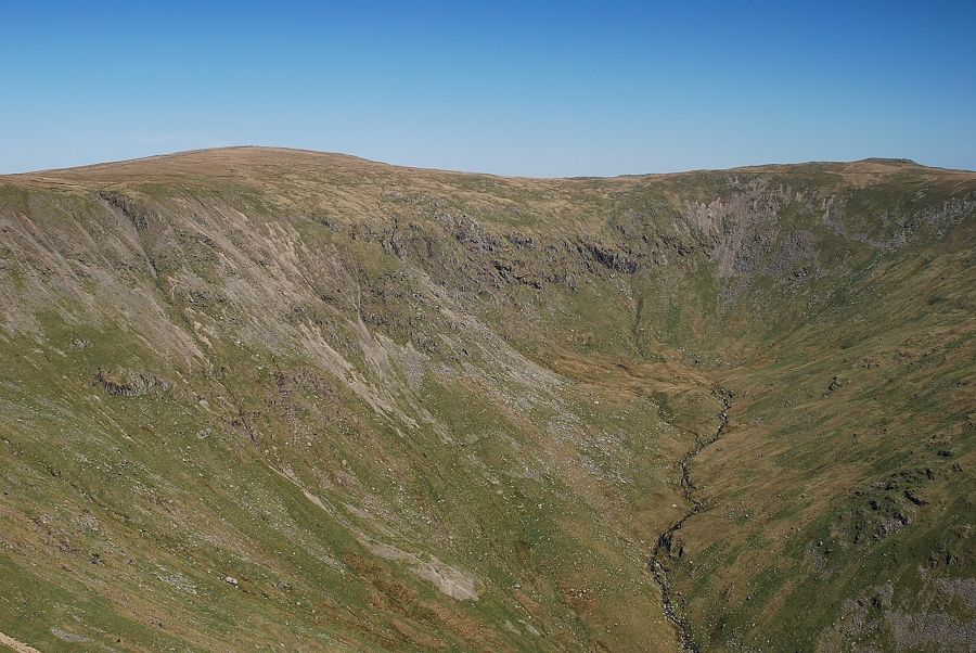
| Looking up to Threshthwaite Mouth at the head of the valley with Threshthwaite Crag on the left and Thornthwaite Crag on the right |
 |
| Looking back to the end of the cart track |
 |
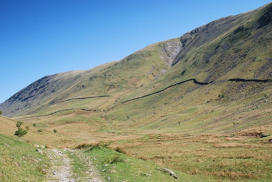
| Climbing to the wall corner below Scot Rake with the ravine of Blue Gill ,which is the main feeder of Hagg Gill, on the right |
 |
| Looking back along Hagg Gill from the wall corner |
 |
| Looking up from the wall corner to Scot Rake crossing the western shoulder of Froswick |
 |
| The start of the Scot Rake path |
 |
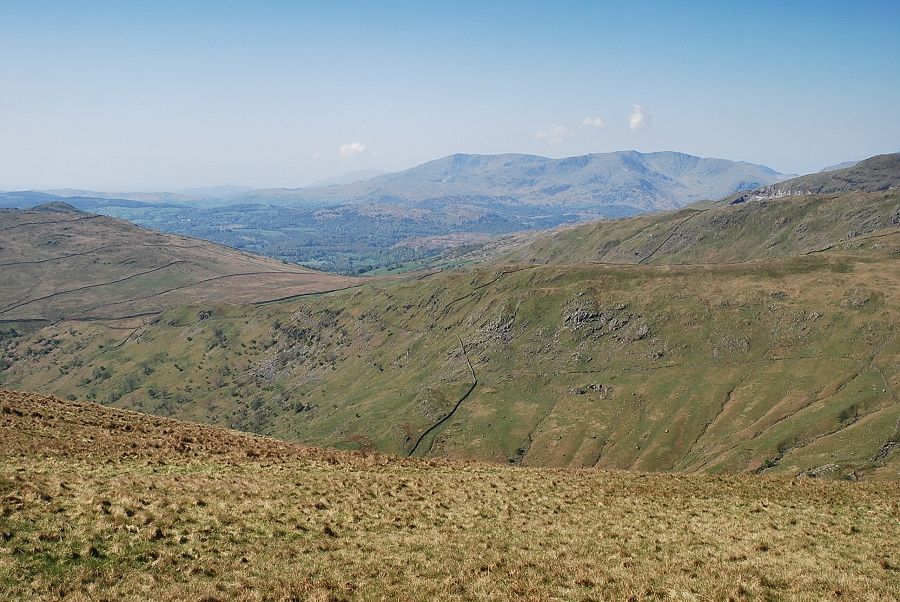
| Looking back the lower part of Windermere comes into view |
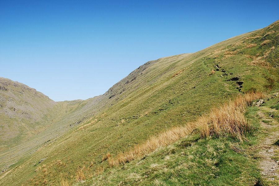 |
| Looking across to Threshthwaite Mouth from Scot Rake. The path follows a series of grooves which are thought by many to be the start of the Roman road over High Street which connected their forts at Ambleside and Brougham. Excavations on the summit ridge have revealed the original road was constructed with layers of stone and gravel bounded by drainage channels |
 |
| Looking over the south ridge of Caudale Moor to the summit of Red Screes |
 |
| Windermere from the middle section of Scot Rake |
 |
| Looking up to the summit of Ill Bell from Scot Rake |
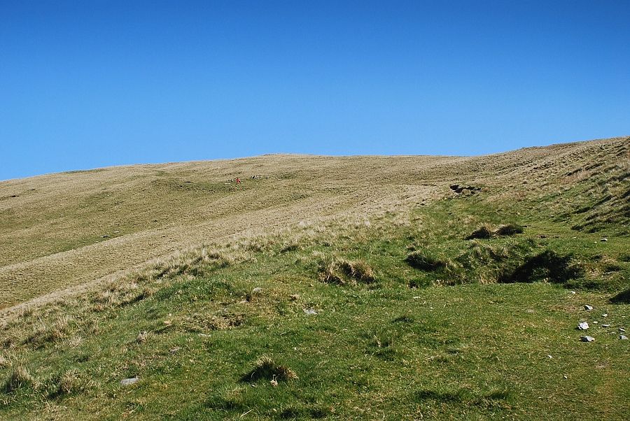 |
| After crossing the steep western shoulder of Froswick the rake continues over easier slopes towards the ridge line. There is no need to follow it all the way to the ridge, a faint path turns off it near this point to reach the col between Froswick and Thornthwaite Crag |
 |
| The path to the col . . . it is much easier to spot from above! The summit of Froswick appears on the right |
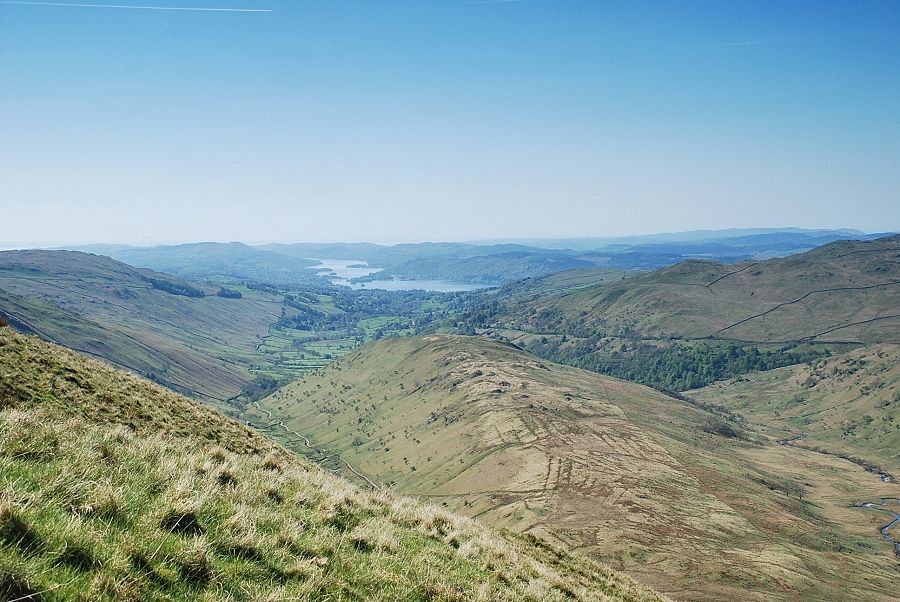 |
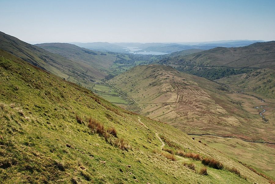
| Looking over Troutbeck Tongue to Windermere from the path to the col |
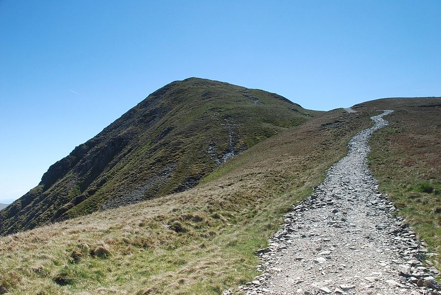 |
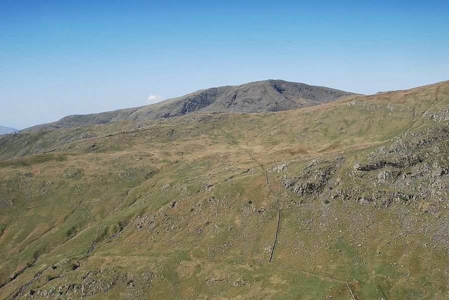
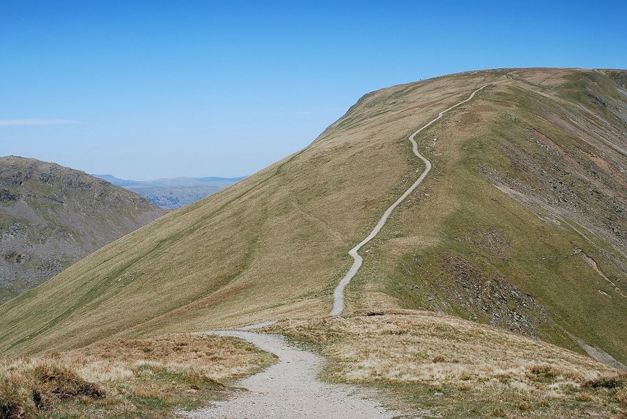
| Looking up to the summit of Froswick from the col. This section of the ridge path, which is part of the popular Kentmere Horseshoe walk, has been repaired in recent years using an excavator to raise it above the peat |
 |
| Looking the other way, the path continues to Thornthwaite Crag |
 |
| Looking over to Lingmell End and Harter Fell from the col |
 |
| The Coniston Fells from the col |
 |
| The ridge path reaches another narrow col above the top of Blue Gill from where the summit of Ill Bell comes into view |
 |
| Looking back along the ridge to Thornthwaite Crag. The Scot Rake path can be seen on the left |
 |
| The final climb to the summit of Froswick |
 |
| Looking back to Caudale Moor |
 |
| Looking over the slopes of Froswick to Lingmell End and Harter Fell |
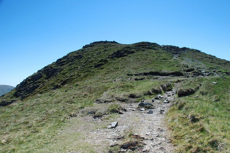 |
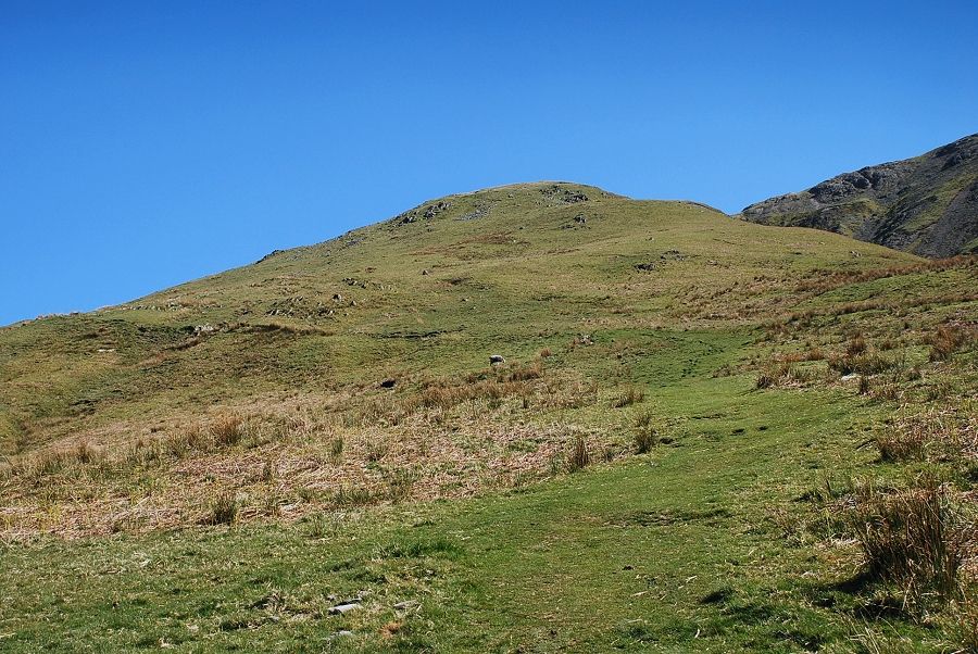
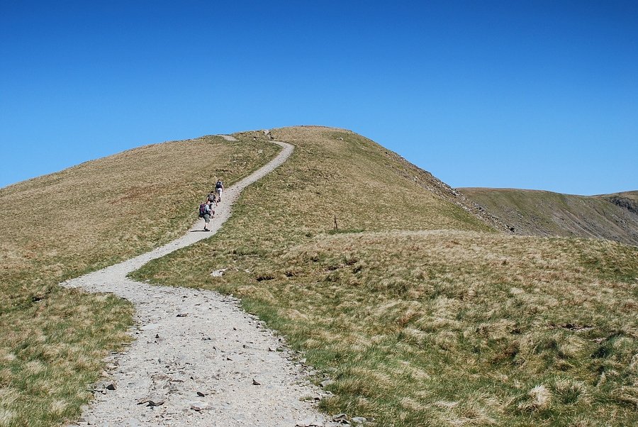
| The summit of Froswick comes into view |
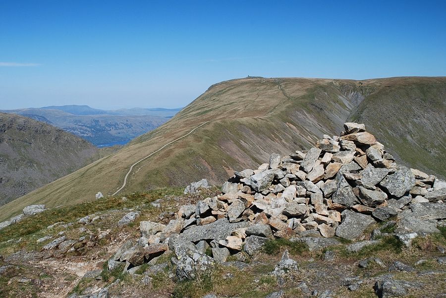 |
| The summit cairn on Froswick |
 |
| High Street and Mardale Ill Bell above Hall Cove from the summit of Froswick |
 |
| Harter Fell from the summit of Froswick |
 |
| Kentmere Reservoir from the summit of Froswick |
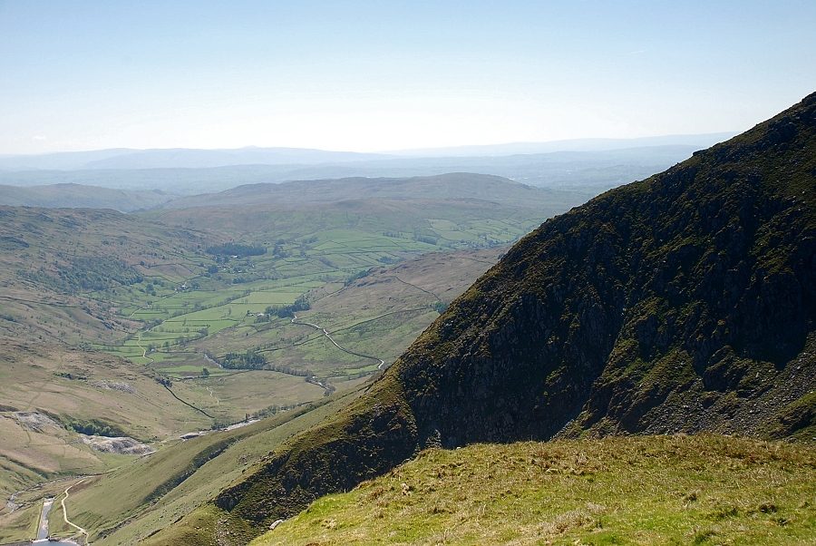 |
| The Kentmere Valley |
 |
| The connecting ridge to Ill Bell |
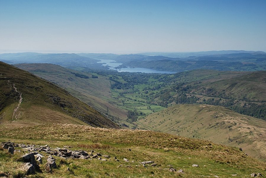 |
| Windermere from the summit of Froswick |
 |
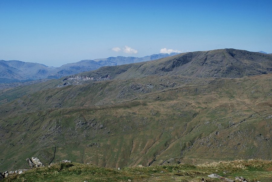
| The Coniston Fells with Wansfell on the left |
 |
|
Crinkle Crags, Bowfell, Scafell and Scafell Pike appear on the horizon above Red Screes' south ridge |
 |
| Caudale Moor |
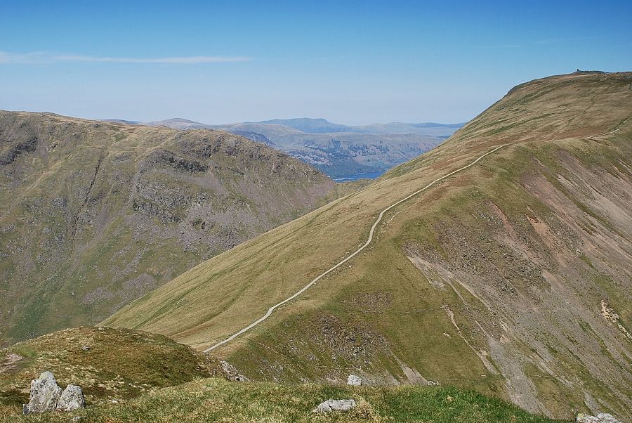 |
| A glimpse of part of Ullswater above Threshthwaite Mouth with a distant Blencathra on the centre horizon |
|