 |
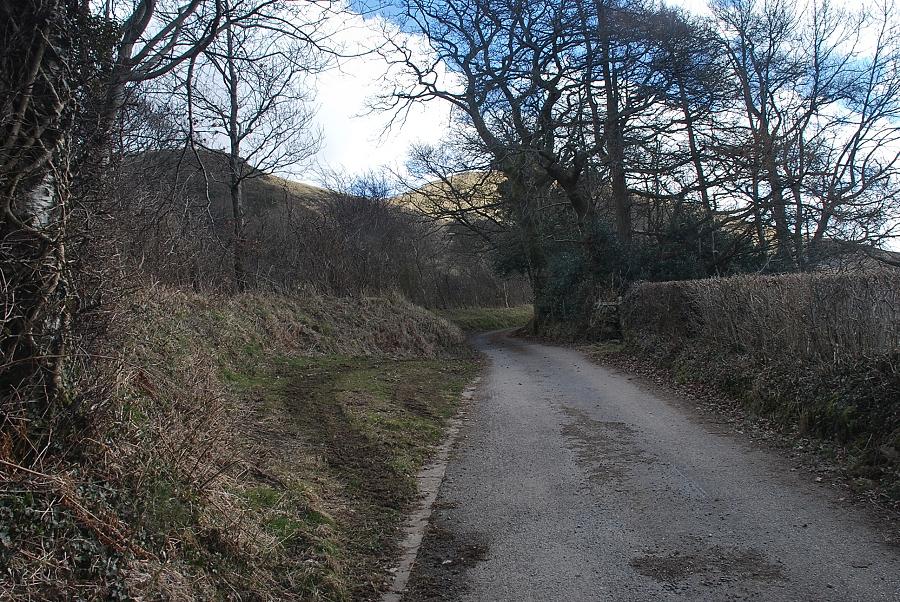
| Waterend is the starting point for this walk. There is lay-by parking either side of the telephone box |
 |
| Almost opposite the telephone box a lane leads up to Myersike and Askill which is also a bridleway to the Mosser Fell Road |
 |
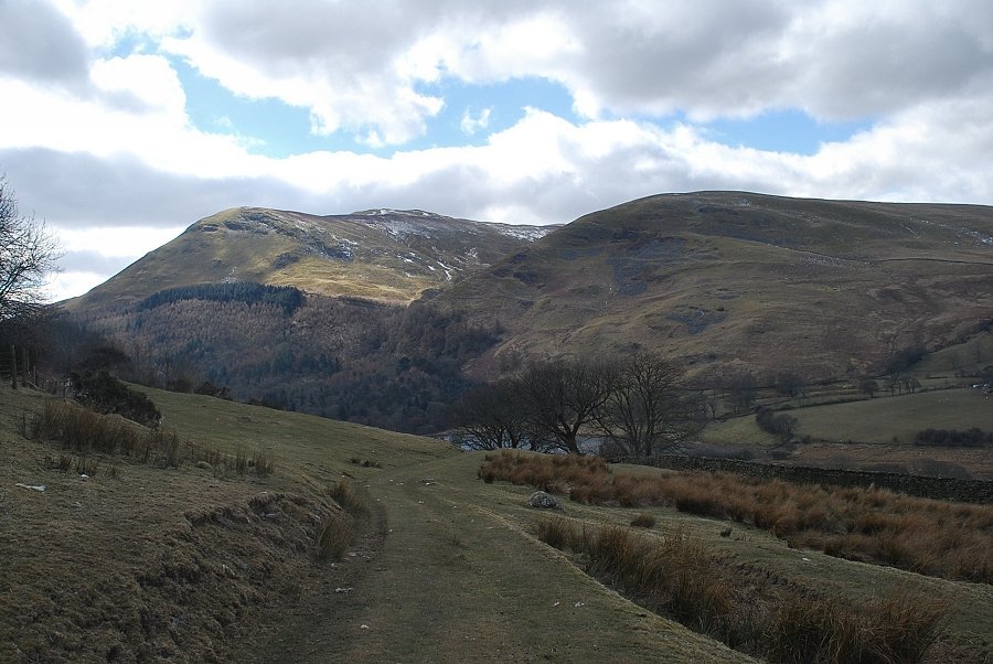
| Walking up the Miresyke/Askill lane, Darling Fell appears straight ahead with Askill Knott to the left |
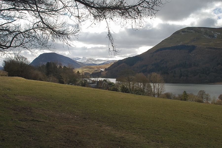 |
| Looking over to Loweswater from the lane with Mellbreak on the left and Carling Knott on the right |
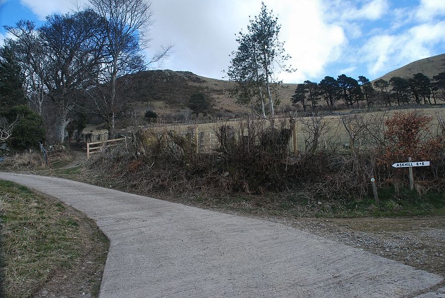 |
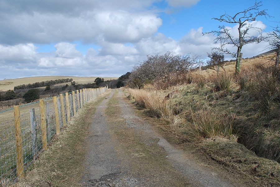
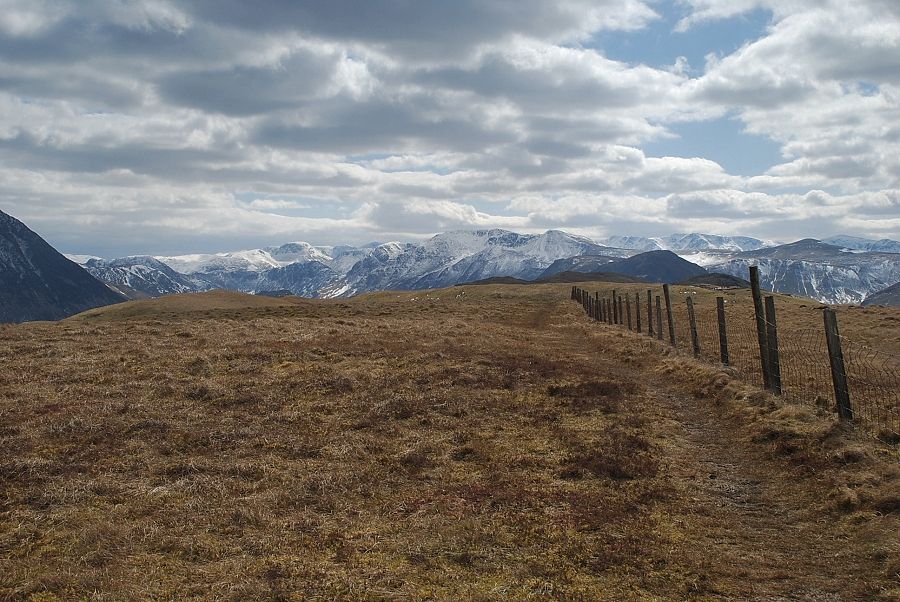
| A short distance after the lane bears left to Askill the bridleway turns off to the right onto a track bounded by a fence and a wall |
 |
| Looking back to Loweswater from the bridleway track |
 |
| Higher up, the bridleway passes through two fields above Askill Farm as it approaches the Mosser Fell Road |
 |
| Looking back to Loweswater from the lower field |
 |
| An old abandoned Bamford Mower in the upper field |
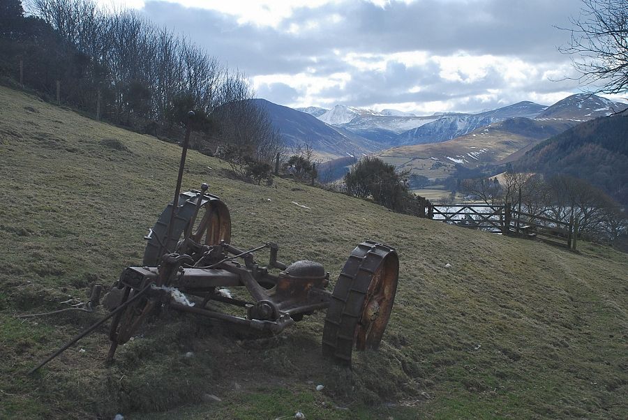 |
| The mower has been sitting here for years and its wheels and cutting blades have become embedded in the turf |
 |
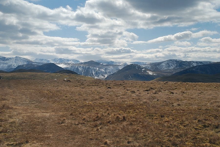
| Looking back to Carling Knott and Burnbank Fell from the top of the upper field |
 |
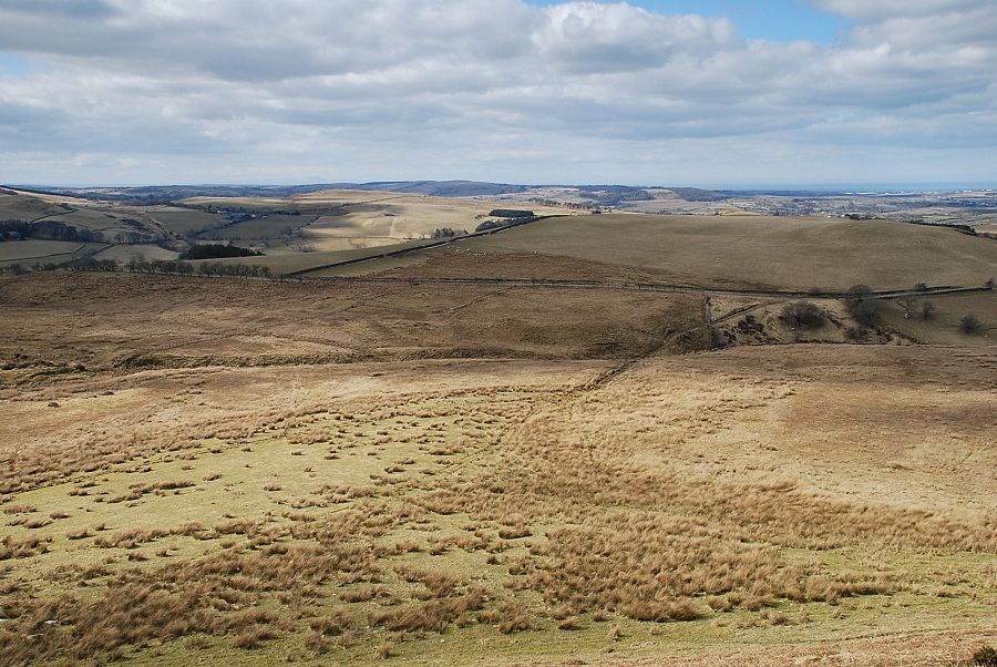
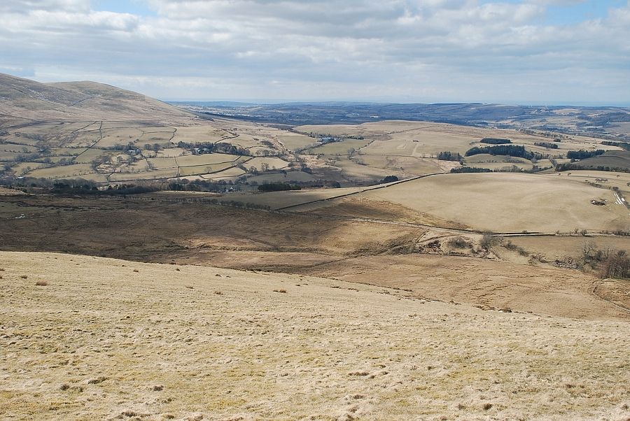
| The bridleway joins the Mosser Fell Road where the view .......... |
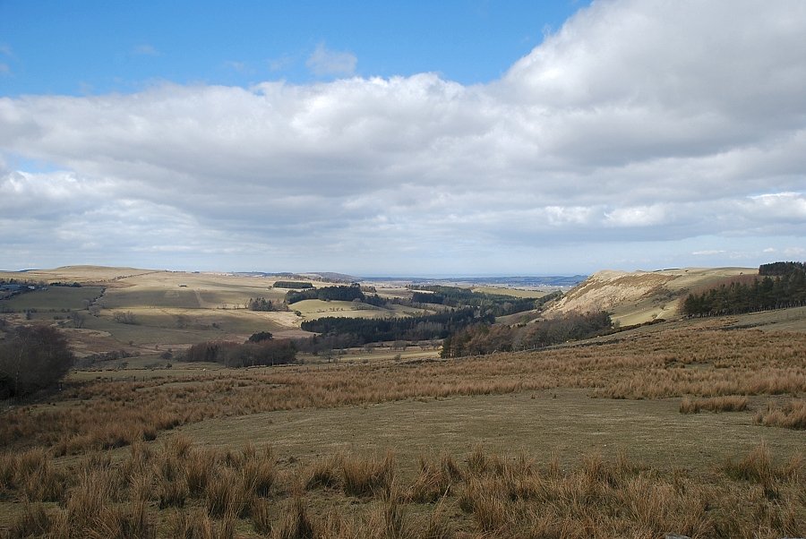 |
| ..........opens out towards the coast |
 |
| Looking back to Darling Fell (centre) and Askill Knott (right) from the Mosser Fell Road |
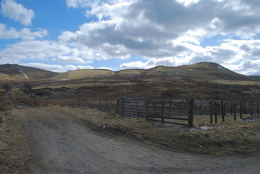 |
| A third of a mile along the Mosser Fell Road a lane, which branches off to the right, reaches the open fellside below Sourfoot Fell. This is best avoided as it is invariably flooded |
 |
| Mosser Fell (Fellbarrow) from the Mosser Fell Road |
 |
| Three hundred yards beyond the flooded branch lane the Mosser Fell Road begins to descend and a rough track leads down towards Mosser Beck |
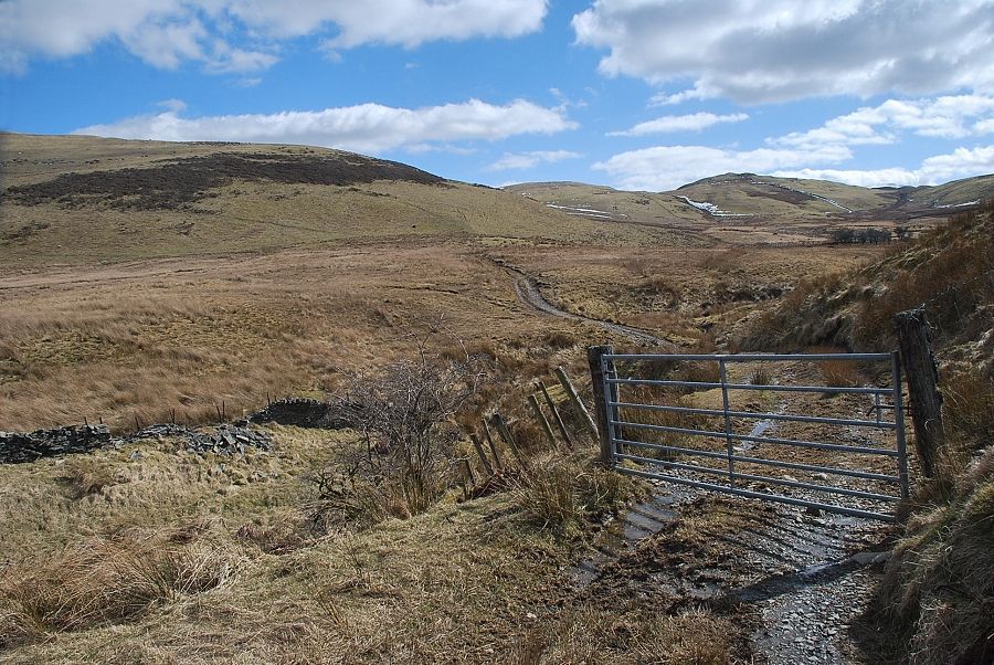 |
| The track passes through a gate and crosses Mosser Beck but soon peters out on the open pasture above the beck |
 |
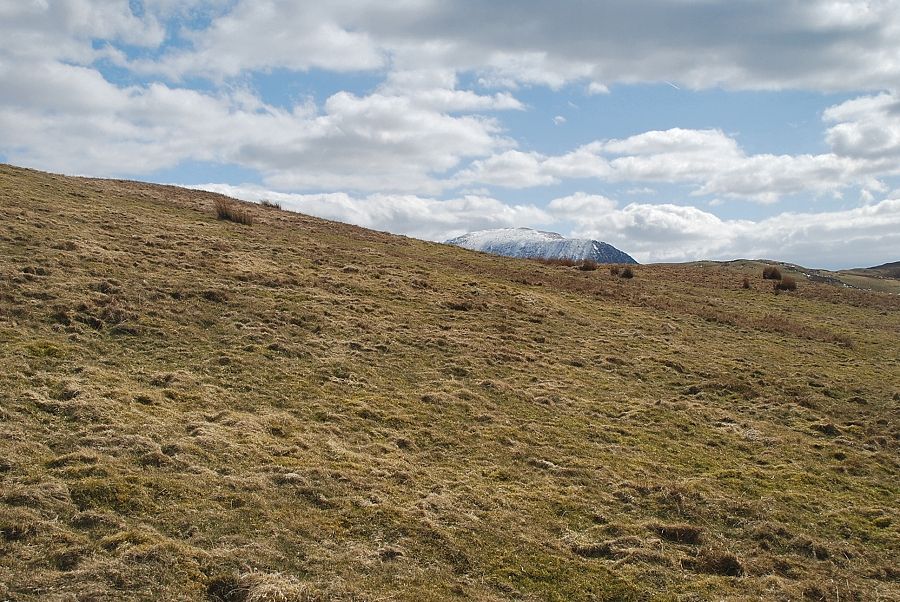
| Fellbarrow from Mosser Beck |
 |
| Looking across to Darling Fell and Carling Knott from the end of the track |
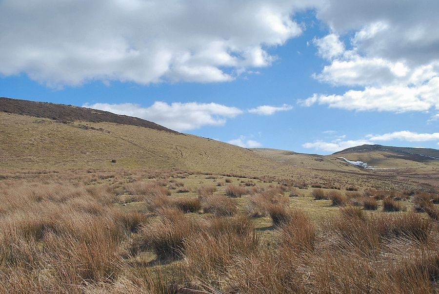 |
| A faint path leads up to the foot of the south-west slope of Fellbarrow. It becomes much clearer as it slants diagonally left through an area of gorse |
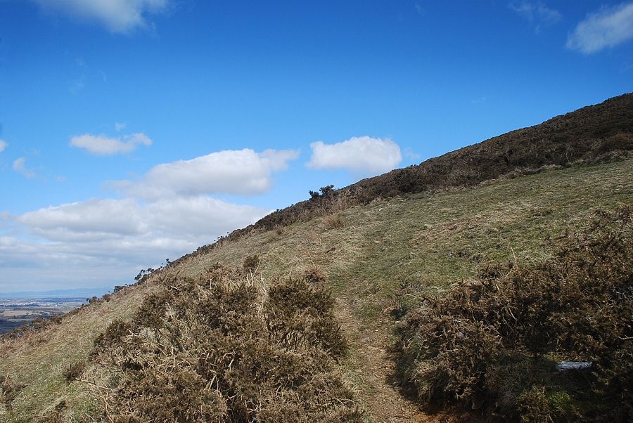 |
| The path through the gorse |
 |
| The summit of Low Fell appears over the col between Sourfoot Fell and Darling Fell |
 |
| Looking back to the Mosser Fell Road |
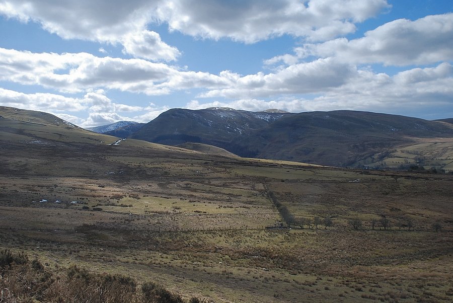 |
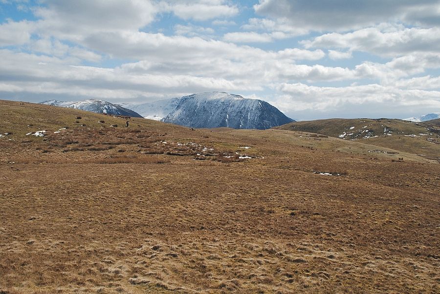
| Looking over to the summits of Great Borne, Blake Fell and Burnbank Fell |
 |
| Beyond the area of gorse an open grass slope leads up towards the summit ridge |
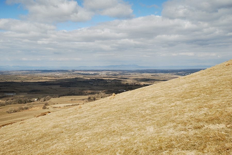 |
| Criffel across the Solway Firth |
 |
| High Stile and Red Pike appear over the summit ridge |
 |
| The summit of Grasmoor comes into view on the approach to the summit ridge |
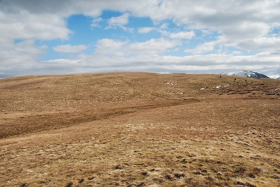 |
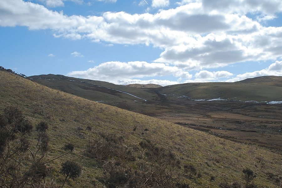
| After a 450 ft. climb from the rough track over Mosser Beck the summit ridge comes into view |
 |
| Looking back down to the Mosser Fell Road |
 |
| Whiteside and Grasmoor over the summit ridge |
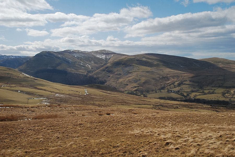 |
| Looking over to Blake Fell, Burnbank Fell and Owsen Fell |
 |
| The summit of Fellbarrow comes into view |
 |
| Approaching the summit of Fellbarrow |
 |
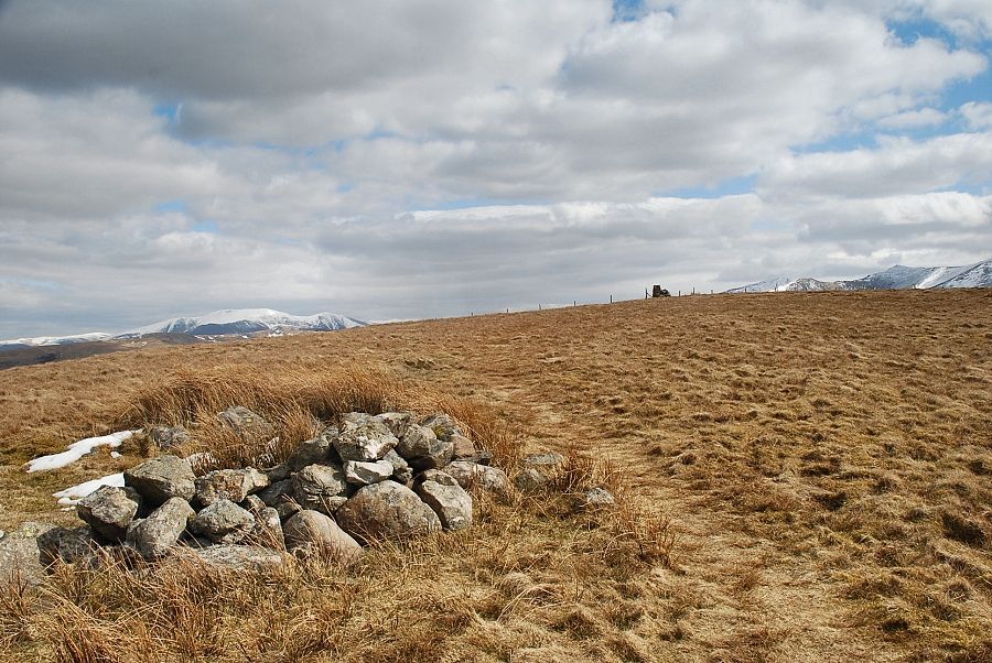
| The trig column and cairn on the summit of Fellbarrow |
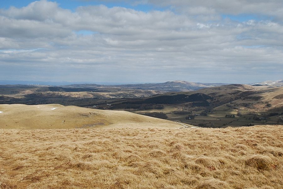 |
| Looking north-east to Binsey |
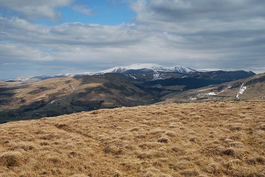 |
| Skiddaw above the Whinlatter fells |
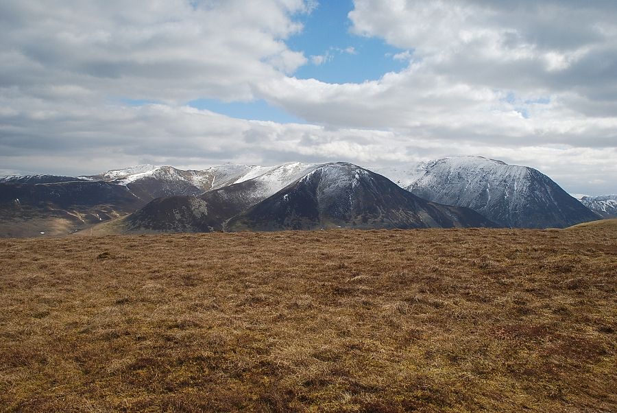 |
| Grisedale Pike, Hopegill Head, Whiteside and Grasmoor |
 |
| Looking south along the connecting ridge to Low Fell. High Crag, High Stile and Red Pike on the centre skyline with Fleetwith Pike and Great Gable above Haystacks on the left |
 |
| Starling Dodd and Great Borne beyond the summit cone of Hen Comb. On the left the twin tops of Mellbreak over the summit of Low Fell |
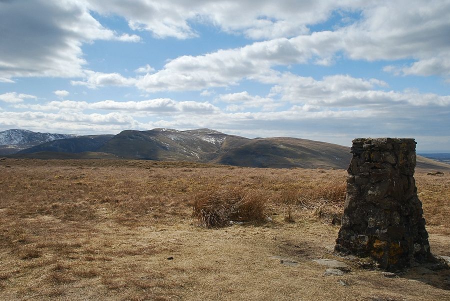 |
| Blake Fell from the summit of Fellbarrow |
