
| Fairfield - Route One |
| Start - Mill Bridge NY 335 091 | Distance - 2.6 miles | Ascent - 2,550 feet | Time - 2 hours : 20 minutes |
 |
| Mill Bridge, one mile to the north of Grasmere, is the starting point for this walk. A signposted walled lane leads between cottages, the start of an ancient bridleway to Patterdale which climbs by Little Tongue Gill and crosses over Grisedale Hause |
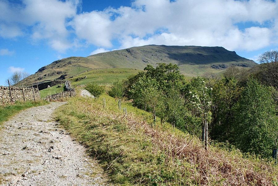 |
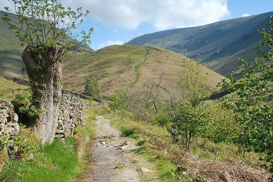
| Above the cottages the lane becomes a rough track rising high above the tree-screened Tonguegill Force. Seat Sandal dominates the view ahead |
 |
| Looking left from the track to Greenburn with Steel Fell on the right |
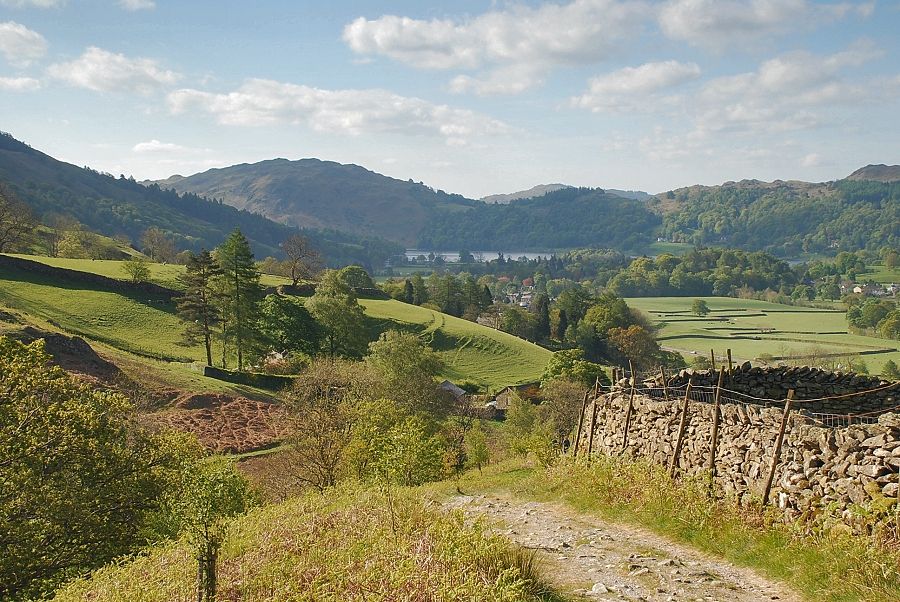 |
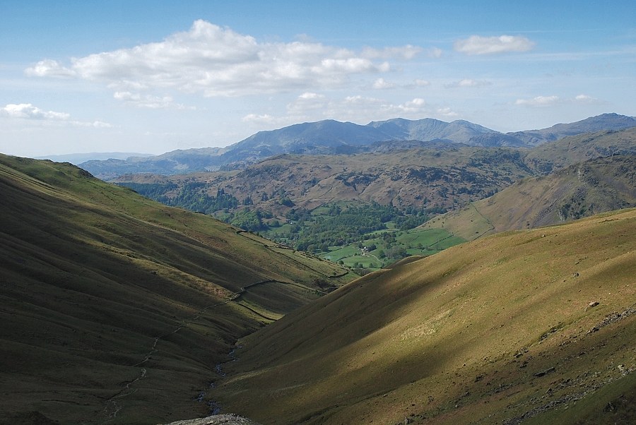
| Looking back to Grasmere from the track |
 |
| Looking down the lower reaches of Tongue Gill from above Tonguegill Force |
 |
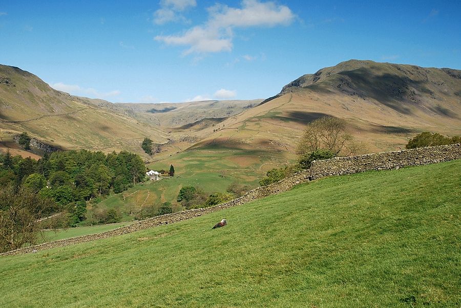
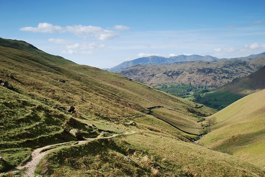
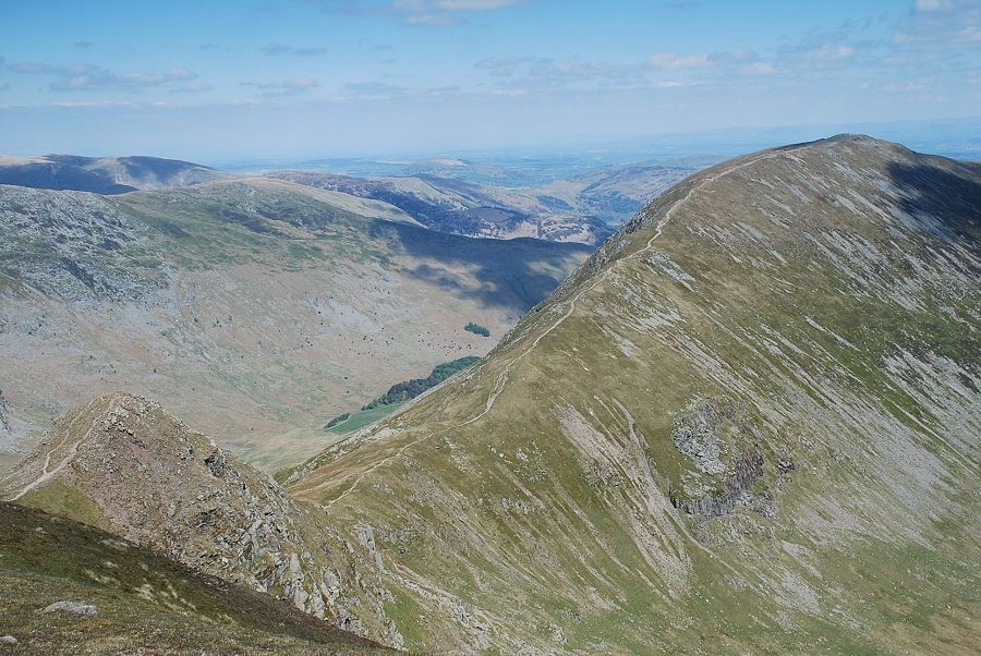
| The track levels out and then descends towards a sheep fold from whence there are three choices of paths. The main bridleway continues over Little Tongue, seen here in the distance to the left of the tree. The path up Great Tongue in the centre starts confidently but soon becomes indistinct and is little used, or a more modern path by Tongue Gill on the right which seems to be the most popular. All three paths unite at the head of Toungue Gill |
 |
| The Tongue Gill path from the sheepfold. Cross the gill by a footbridge which is almost hidden in the trees |
 |
| The path climbs past a disused reservoir to join a much clearer path which starts from near the Travellers Rest Inn |
 |
| Looking back from above the disused reservoir to Helm Crag and Gibson Knott |
 |
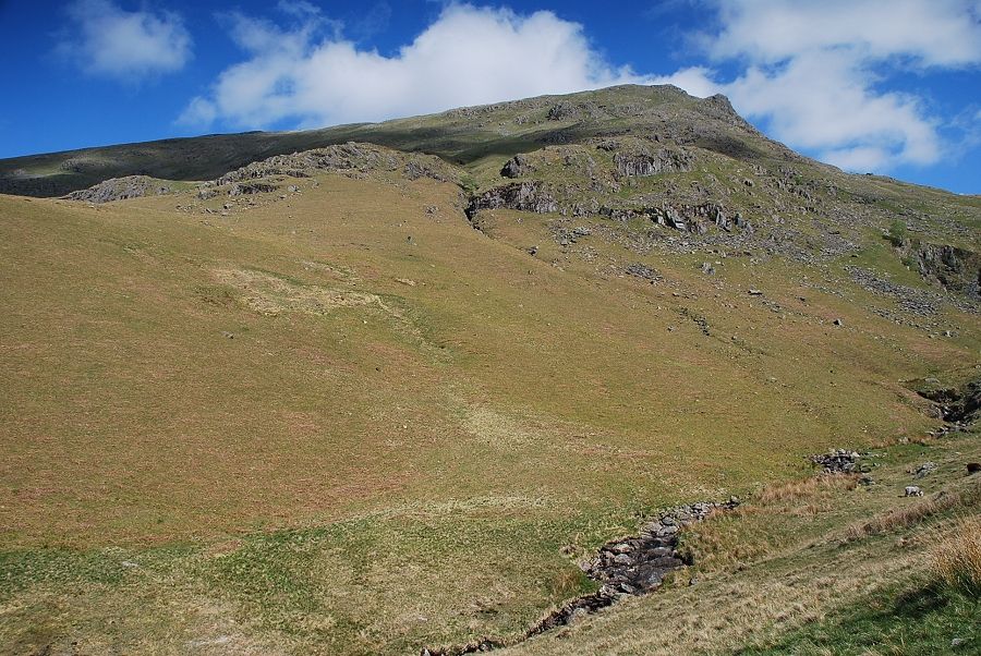
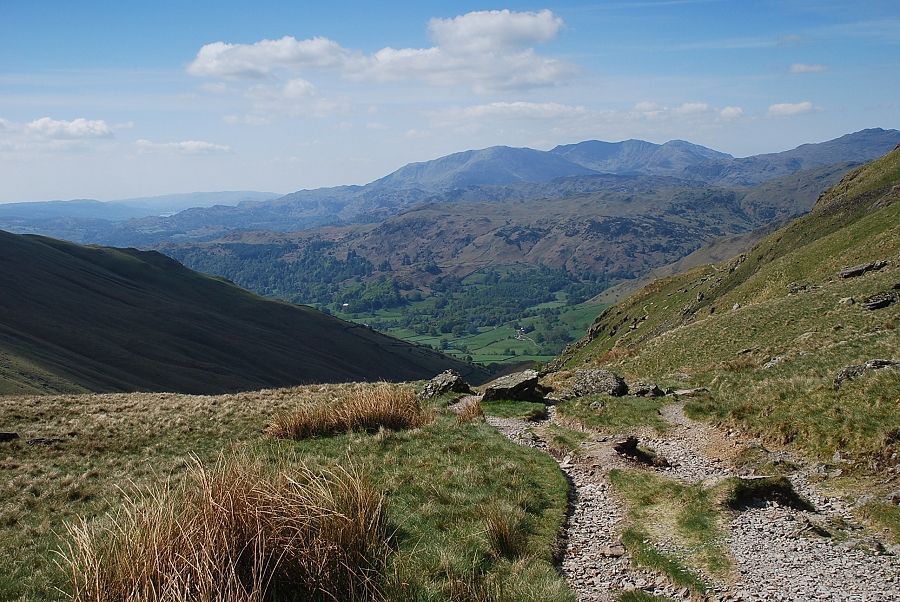
| Looking up Tongue Gill with Seat Sandal on the left and Fairfield on the right |
 |
| Looking back to Helm Crag |
 |
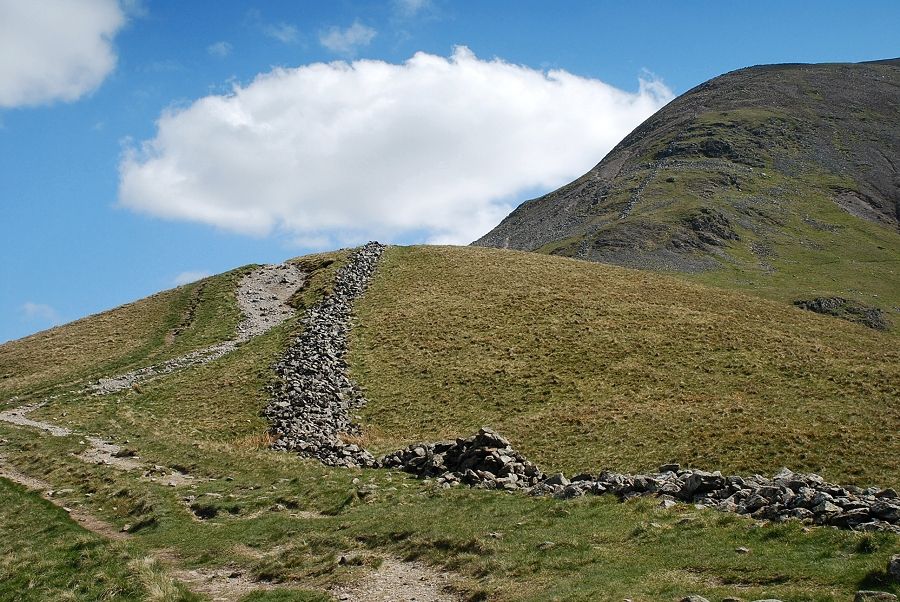
| The path initially follows the upper wall of an enclosure |
 |
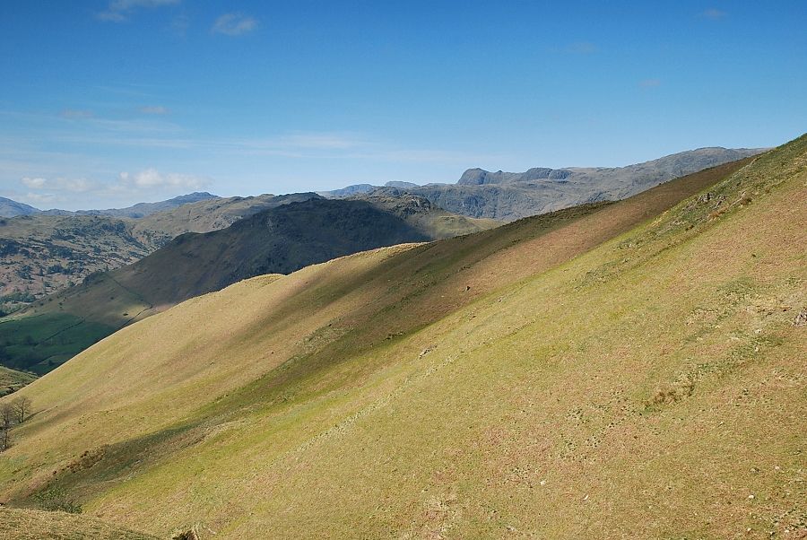
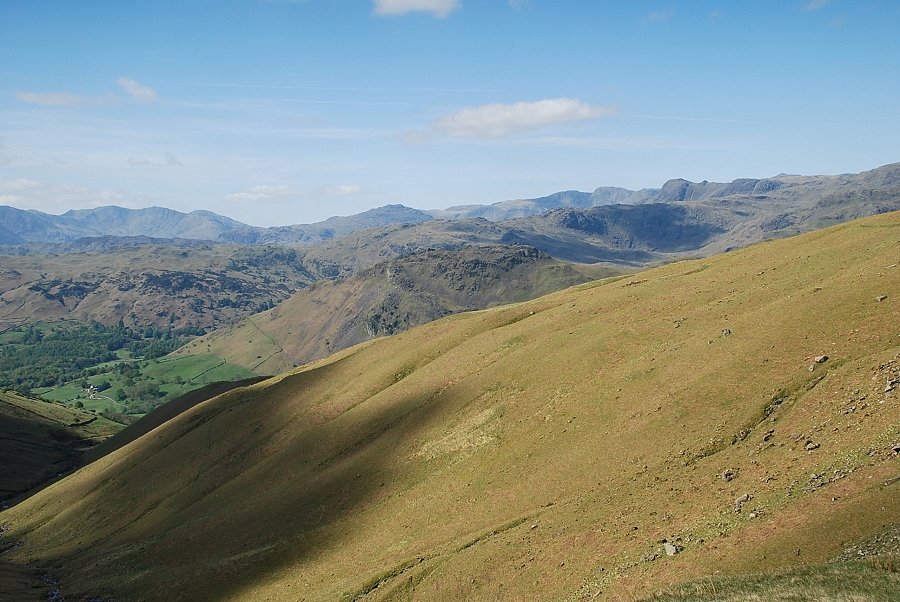
| Looking back to the Coniston fells above the Silver How ~ Castle How ridge |
 |
| From the same position The Langdale Pikes appear over the slopes of Great Tongue |
 |
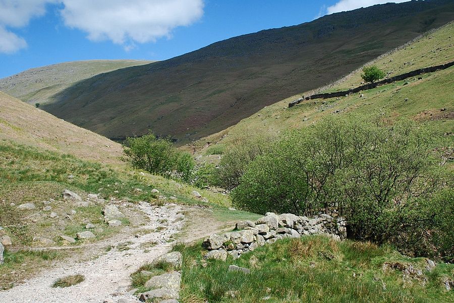
| Past the enclosure the path rises gently for half a mile towards the head of the gill below Hause Riggs |
 |
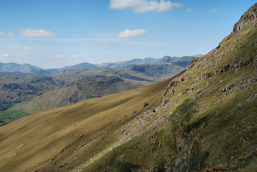
| Looking back over the slopes of Great Tongue. Pike o' Blisco, Crinkle Crags and the Langdale Pikes on the skyline |
 |
| Looking back to the Coniston fells on the skyline |
 |
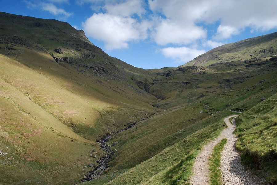
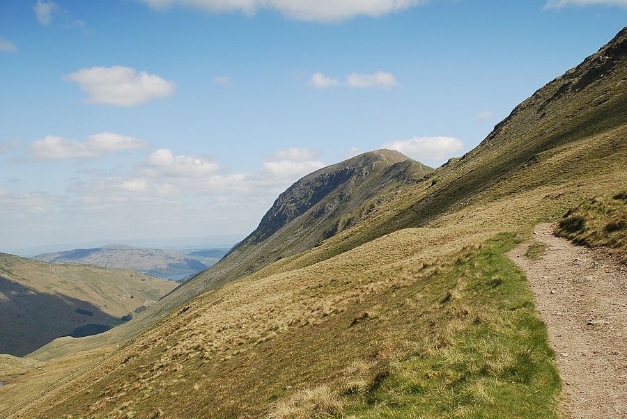
| Approaching the head of Tongue Gill where the path rises more steeply before traversing below the rocky outcrops above the deep ravine |
 |
| Looking up to Seat Sandal above the crags of Hause Riggs |
 |
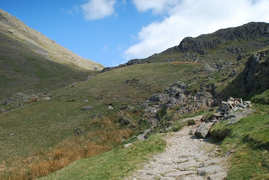
| Much of this steeper section of the path below the rocky outcrops has been stone pitched |
 |
| Another look back over Great Tongue; the view opens out as more height is gained |
 |
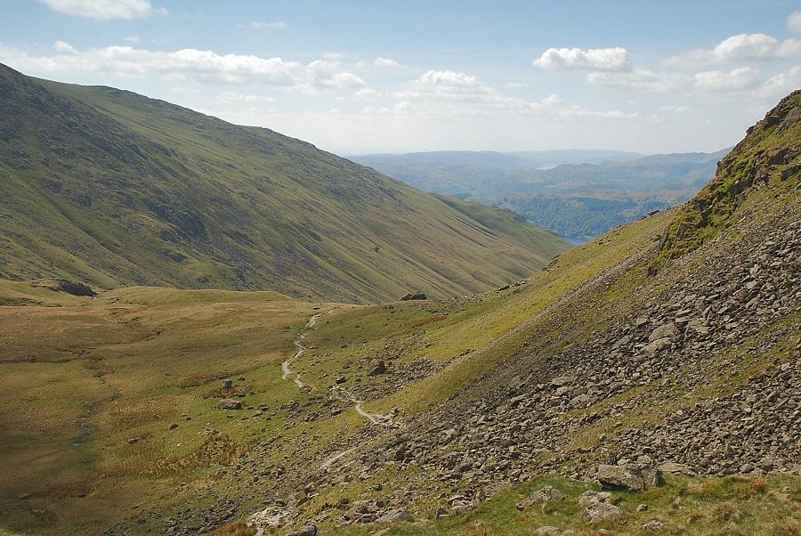
| Traversing below the rocky outcrops towards the waterfall that AW noted his diagram of this ascent |
 |
| "Cascade, Tongue Gill" Fairfield - page 6 There's not a lot of water flow after a long spell of dry weather! |
 |
| Looking up from near the cascade, the line of the bridleway can just be seen on the left in the centre of the photo |
 |
| Looking south-east from the cascade across the ravine of Tongue Gill |
 |
| The Coniston fells from the cascade |
 |
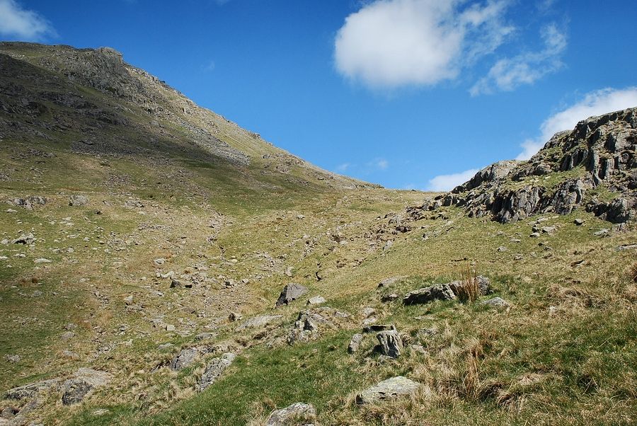
| Moving on from the cascade the path crosses the gill and climbs steeply to a level shoulder which overlooks Hause Moss |
 |
| On reaching the level shoulder the top of Grisedale Hause comes into view and the old bridleway joins the path from the left near a marker cairn |
 |
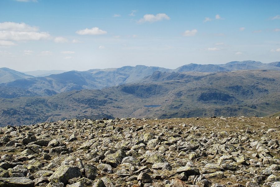
| Looking back to the Coniston fells from the level shoulder |
 |
| Looking up to Gavel Crag on Seat Sandal |
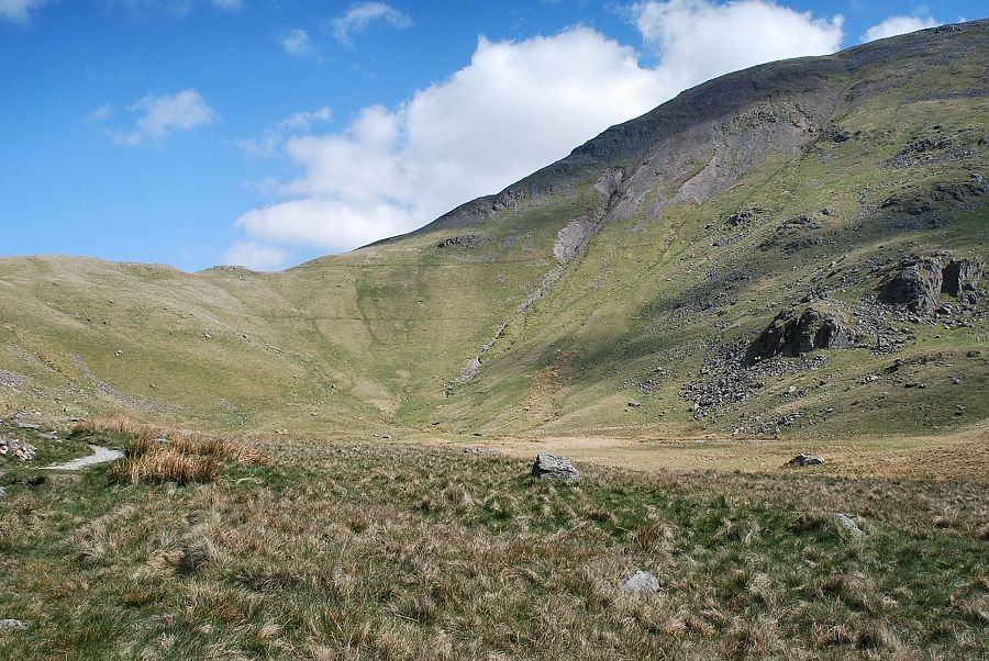 |
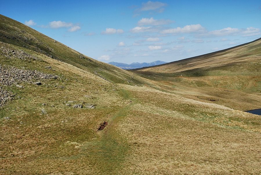
| Looking across Hause Moss, the dry bed of an old tarn, to the west ridge of Fairfield |
 |
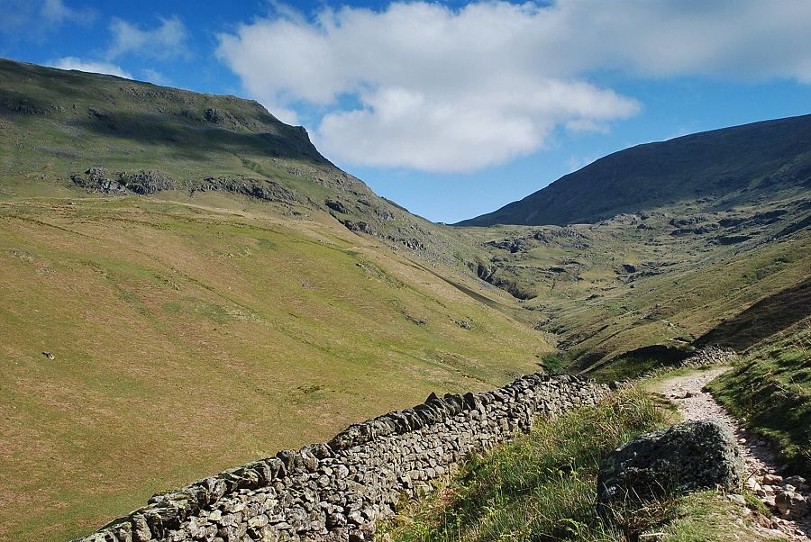
| The path continues on towards Grisedale Hause over the scree slope of Gavel on Seat Sandal |
 |
| Looking back from the climb to Grisedale Hause |
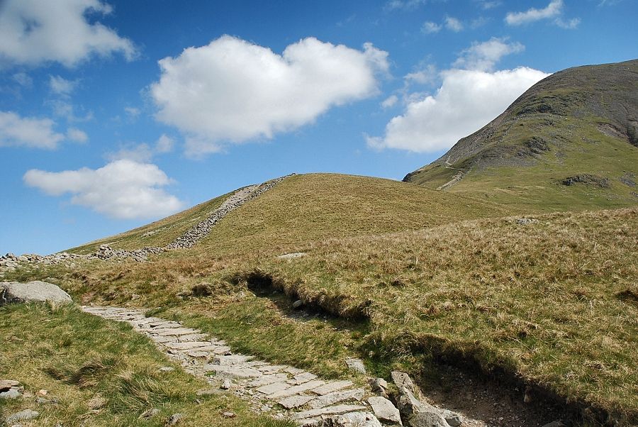 |
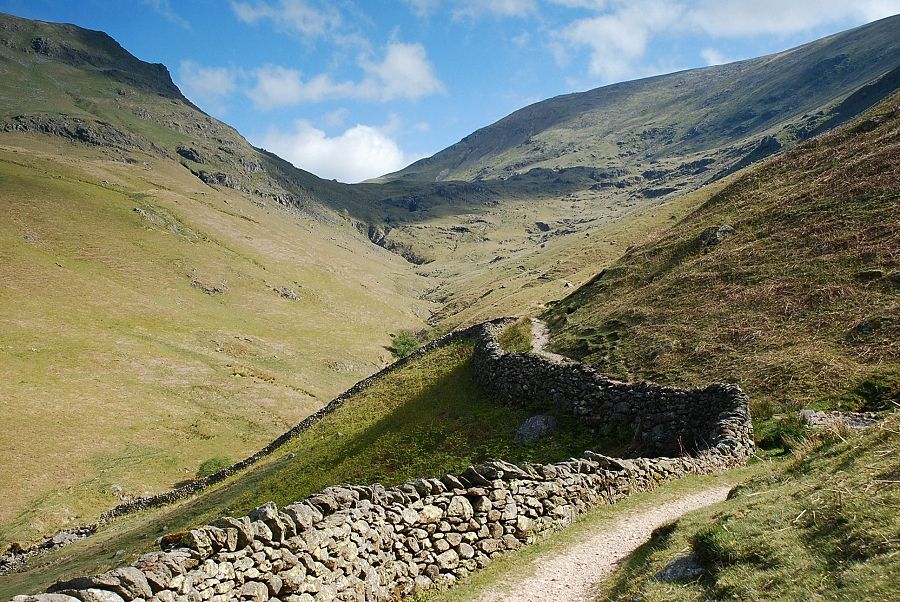
| Approaching the top of Grisedale Hause |
 |
| On reaching Grisedale Hause, Eel Crag, Hopegill Head and Grisedale Pike appear between the slopes of Seat Sandal and Dollywaggon Pike |
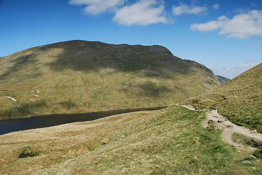 |
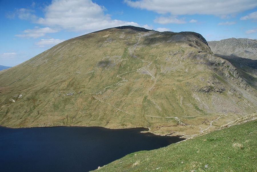
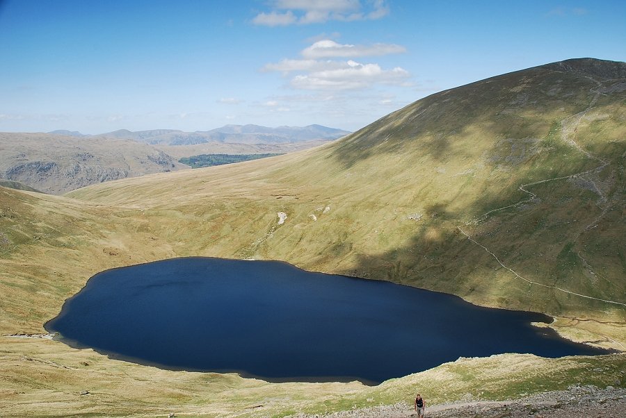
| Grisedale Tarn and Dollywaggon Pike from Grisedale Hause. The old bridleway continues to descend past the tarn into Grisedale |
 |
| The way ahead to Fairfield turns off the bridleway to follow a collapsed wall for a short distance before ascending the scree slopes to its left |
 |
| St. Sunday Crag from the path alongside the wall |
 |
| Looking back to Grisedale Hause and Seat Sandal |
 |
| Grisedale Tarn and Dollywaggon Pike with a section of Striding Edge in the right-hand background |
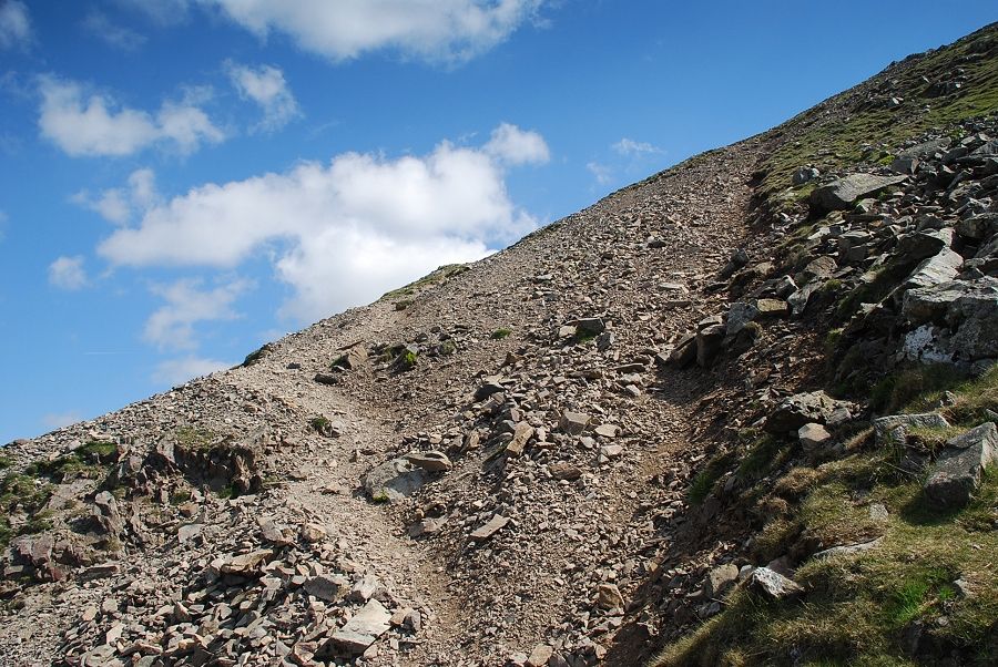 |
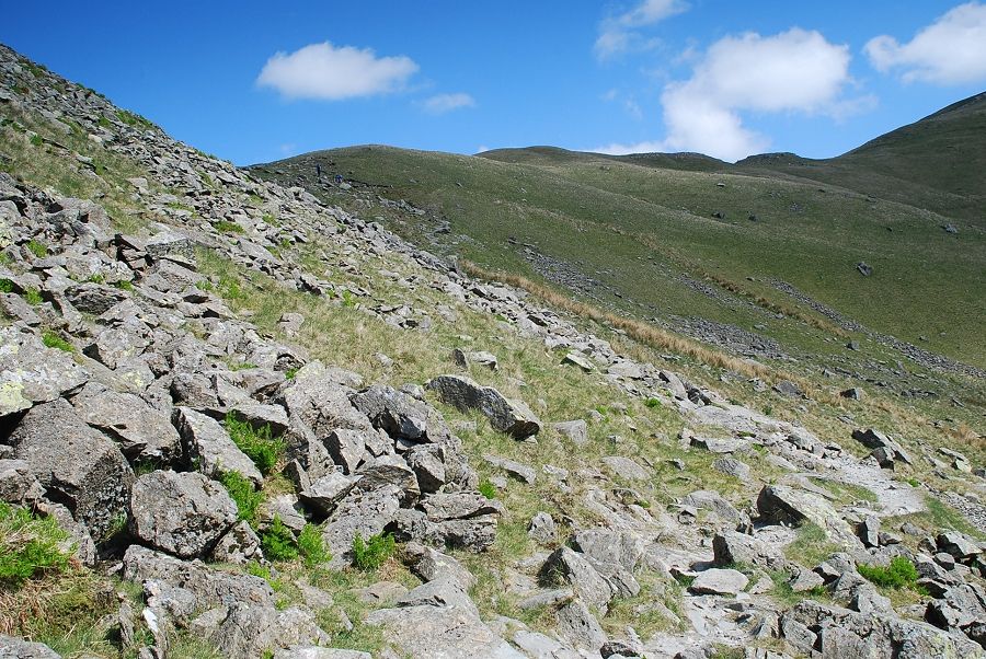
| On the scree path to the summit. There is no way of avoiding this unpleasant climb, the boulder strewn slope on the right is even worse! |
 |
| Looking back to Grisedale Tarn |
 |
| The summit of Helvellyn appears over Falcon Crag on Dollywaggon Pike |
 |
| A last look back to Grisdale Tarn before it disappears from view below the convexed slope |
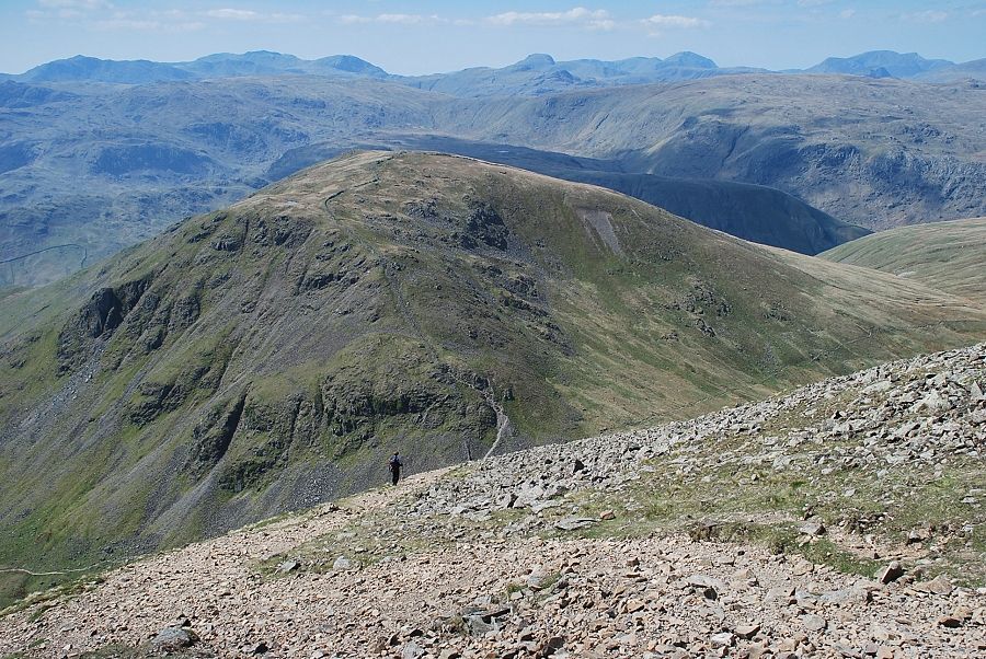 |
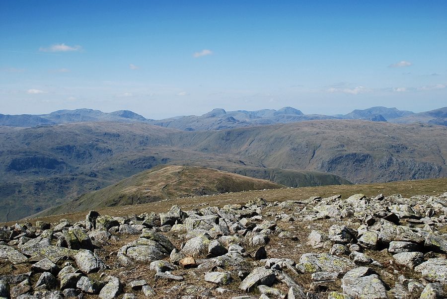
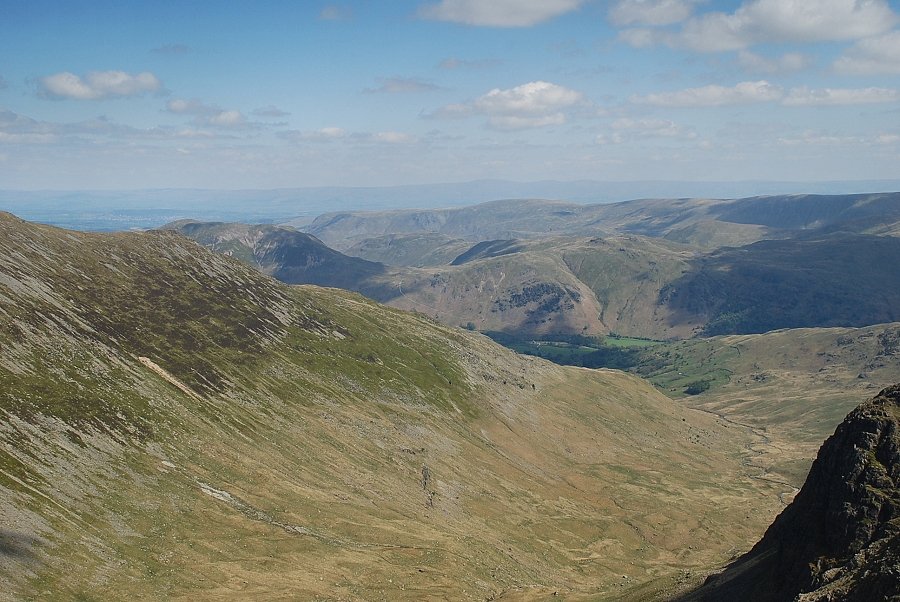
| Looking back as the angle of the slope eases. Bowfell, Scafell Pike, Great Gable, Pillar and High Stile are amongst the many peaks on the horizon |
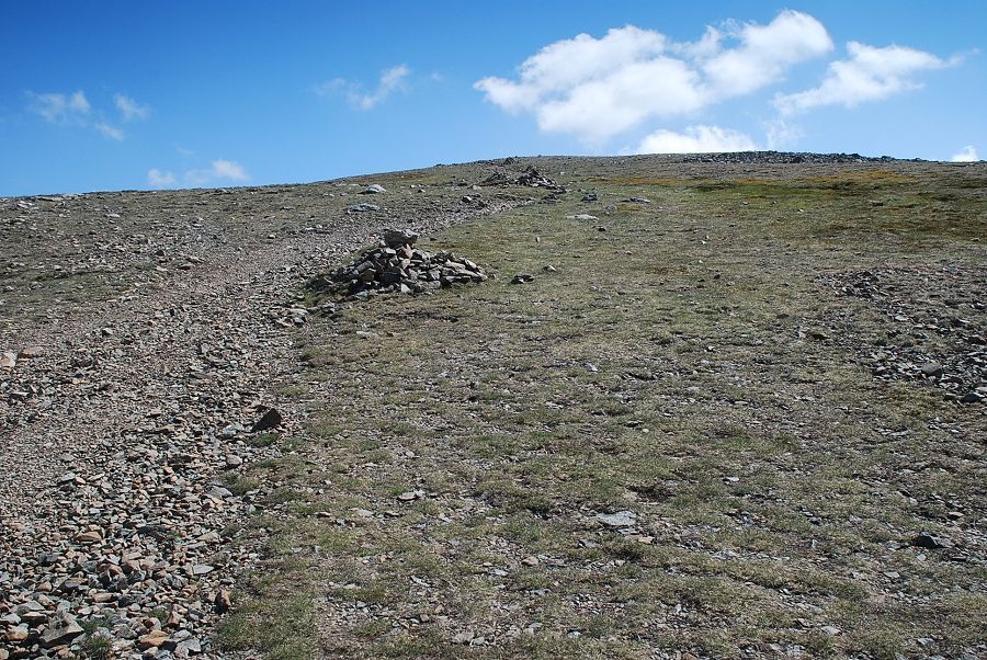 |
| Higher up a line of cairns lead on over easier slopes to the summit plateau |
 |
| Looking back to the North Western Fells on the centre and right of the horizon |
 |
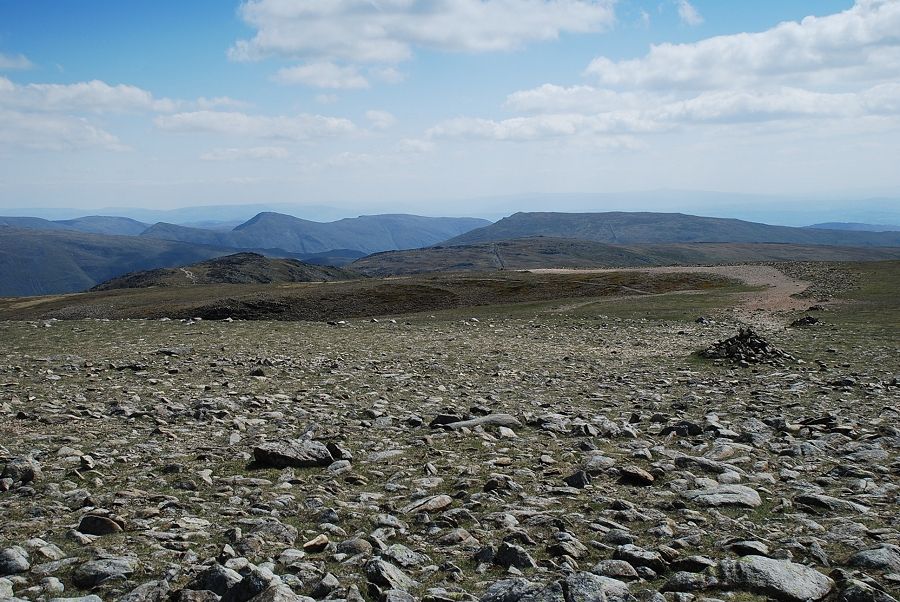
| Looking across to Great Rigg |
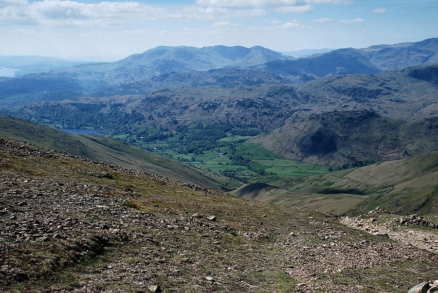 |
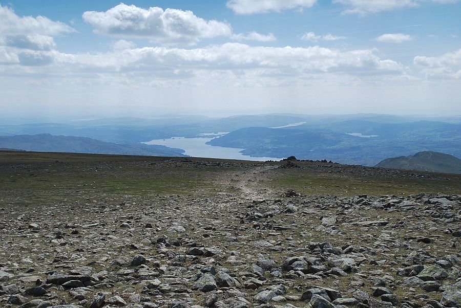
| Looking back to the Coniston fells with part of Coniston Water on the upper left |
 |
| The summit wind shelter comes into view |
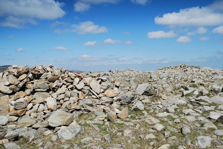 |
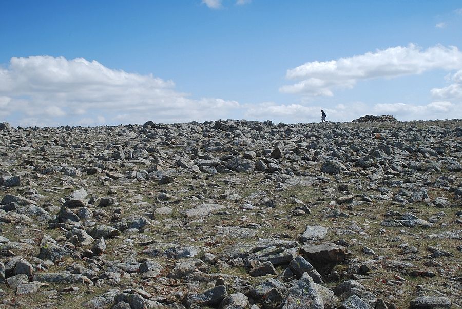
| The summit is an extensive plateau with numerous cairns,the one on the right is generally regarded as the principal one |
 |
| The summit is the apex of the popular Fairfield Horseshoe. Here is the path approaching the summit from the eastern arm of the horseshoe over the summits of Hart Crag and Dove Crag |
 |
| Looking south to Windermere and the path approaching the summit from the western arm of the horseshoe |
 |
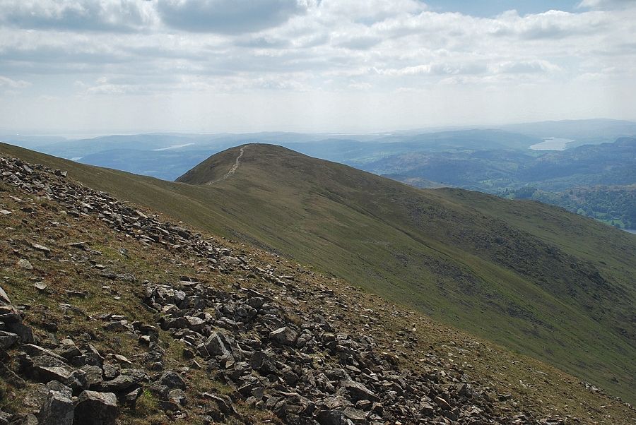
| The summits of Heron Pike and Great Rigg, part of the western arm of the horseshoe, in the left middle distance |
 |
| Crinkle Crags over the Langdale Pikes in the centre with Bowfell and Scafell Pike on the right |
 |
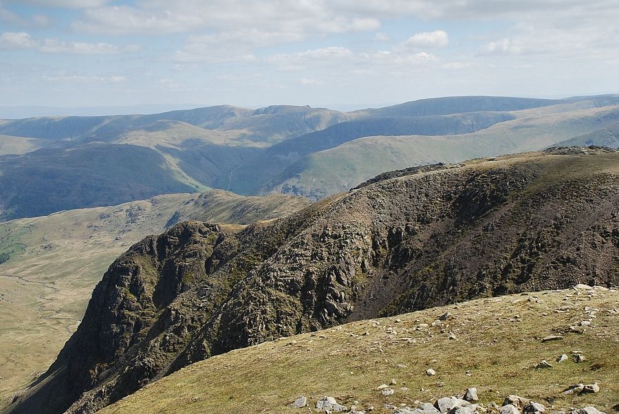
| Scafell Pike, Great Gable, Pillar and High Stile on the horizon with the summits of High Raise and Ullscarf in the middle distance |
 |
| The North Western Fells on the horizon with the Western Fells summits of High Crag,High Stile and Red Pike on the extreme left |
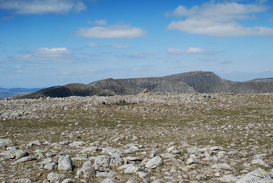 |
| The summits of Dollywaggon Pike, Nethermost Pike and Helvellyn |
 |
| Cofa Pike and the connecting ridge to St.Sunday Crag |
 |
| Looking down to Deepdale with the Far Eastern Fells in the middle distance |
 |
| Looking across Greenhow End to the Far Eastern Fells. High Raise, Rampsgill Head, Kidsty Pike and High Street on the centre skyline |
 |
| Looking down Cawk Cove to Deepdale |
|