 |
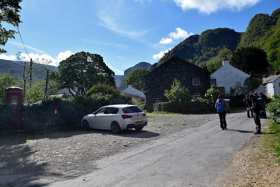
| There is a parking area for about six cars beside the telephone kiosk in Stonethwaite. More parking is available on the approach lane to the hamlet |
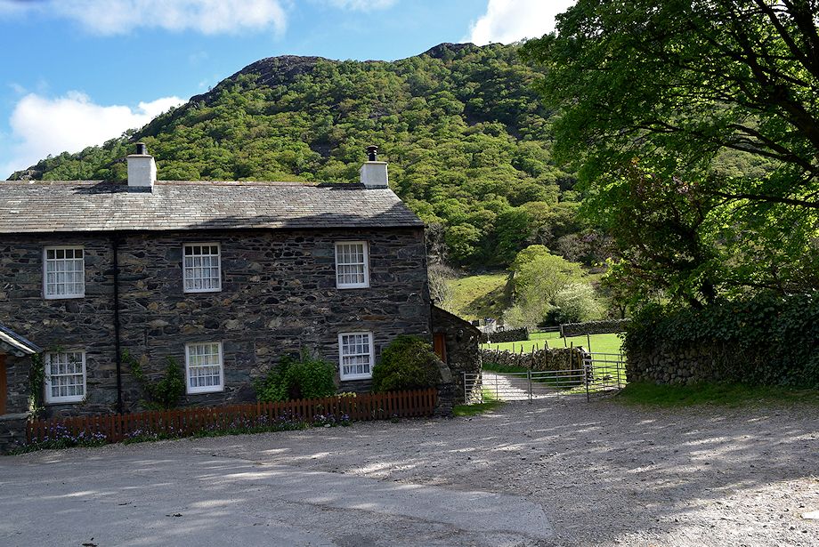 |
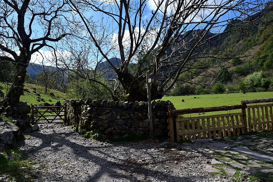
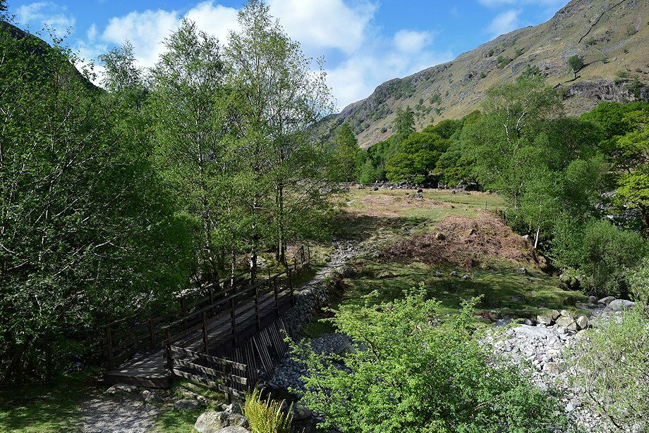
| To the left of the telephone kiosk is a walled lane, signposted 'Greenup and Grasmere', which crosses over Stonethwaite Bridge |
 |
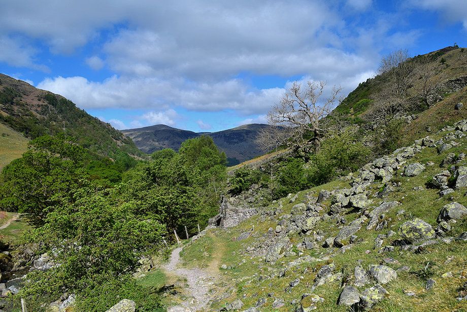
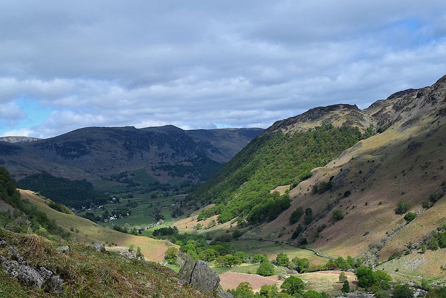
| The wooded slopes of Great Crag from the lane |
 |
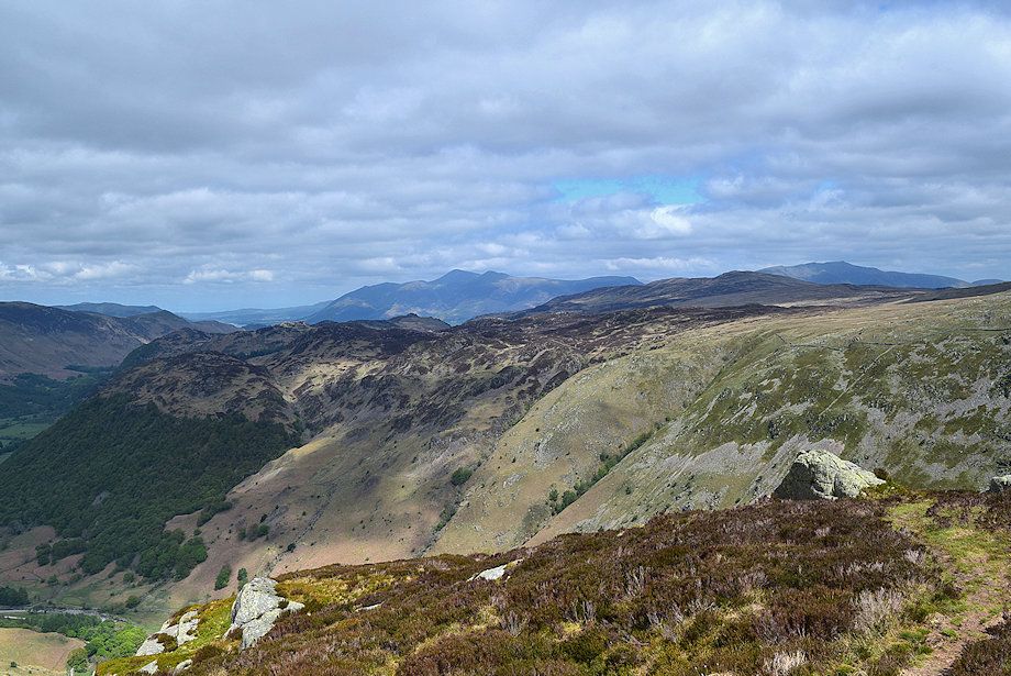
| Looking across to High Spy, Maiden Moor, Catbells and King's How from the lane |
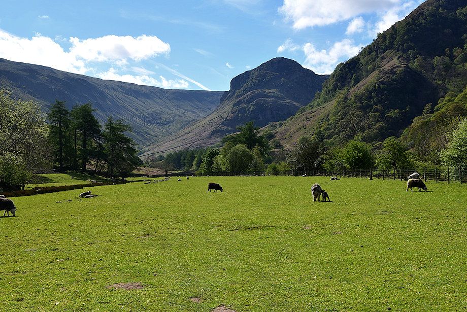 |
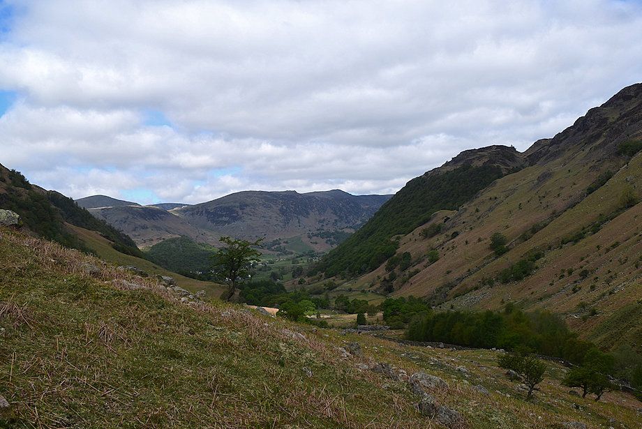
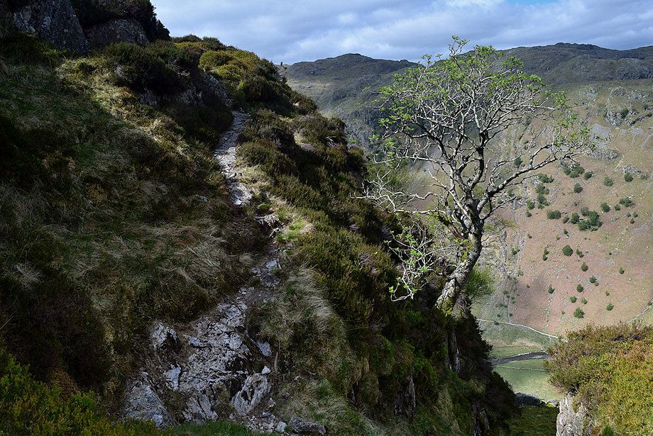
| Looking across to Greenup Gill and Eagle Crag from the lane |
 |
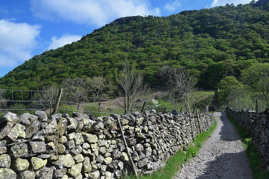
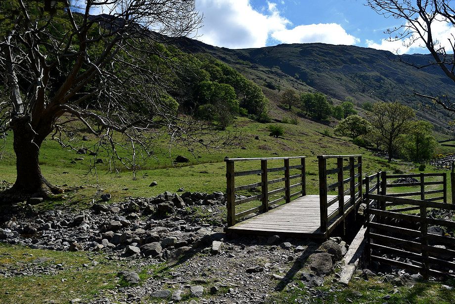
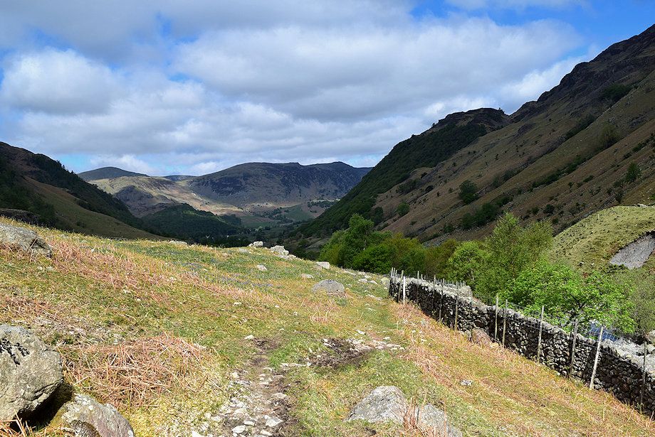
| On crossing Stonethwaite Bridge the lane joins the bridleway which runs between Rosthwaite and Grasmere via Greenup Edge. Turn right after crossing the bridge and follow the broad track which runs alongside Stonethwaite Beck. The track forms part of two long distance paths, the Cumbria Way and the Coast to Coast Walk |
 |
| Eagle Crag from the Greenup Edge bridleway |
 |
| Looking over to Big Stanger Gill flanked by Bull Crag and Hanging Haystack on Rosthwaite Fell |
 |
| The footbridge over Willygrass Gill |
 |
| Eagle Crag across Stonethwaite Beck |
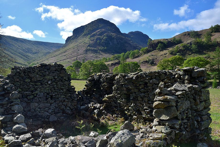 |
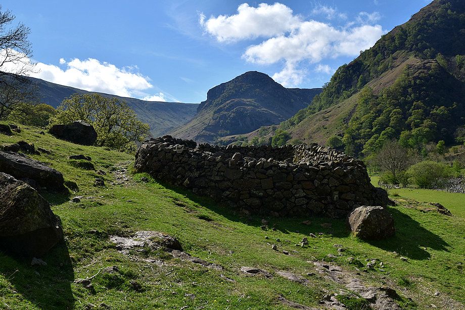
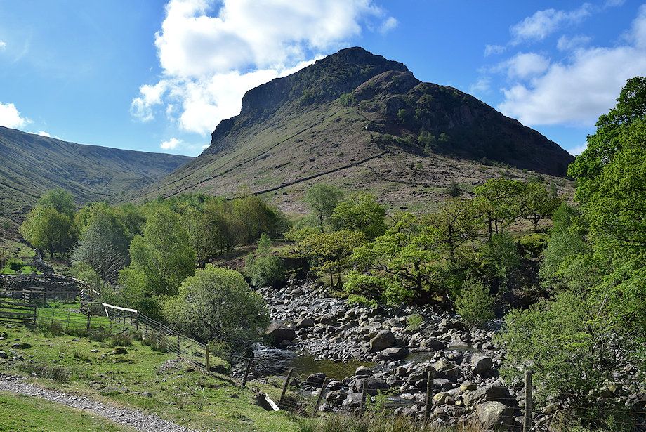
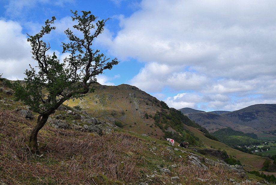
| Eagle Crag and Sergeant's Crag from a ruined barn beside the bridleway |
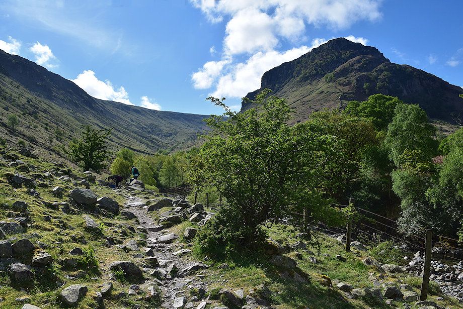 |
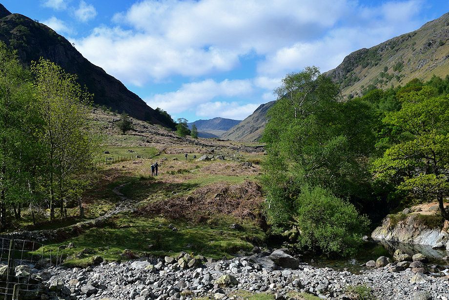
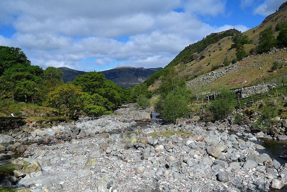
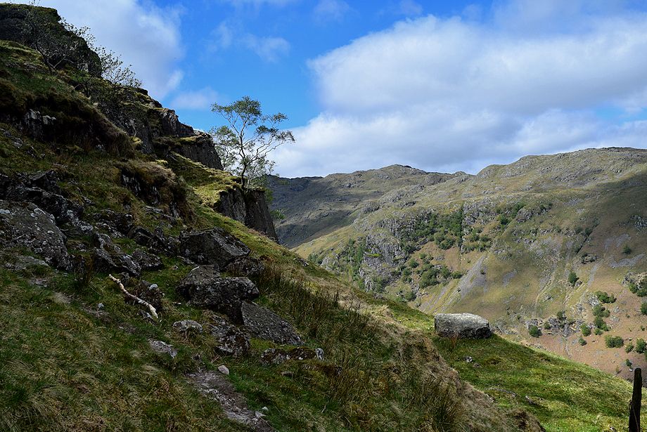
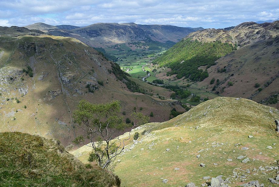
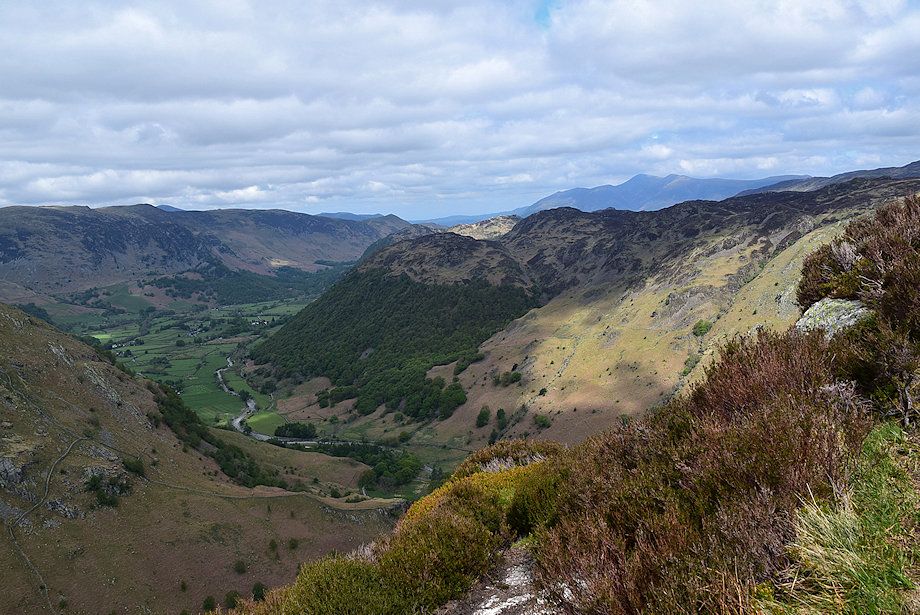
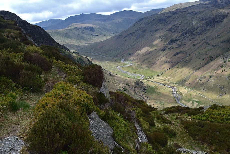
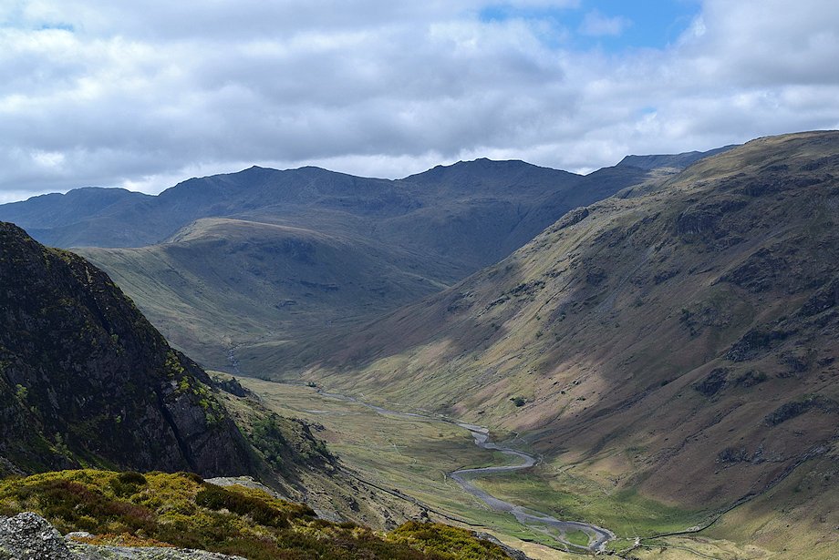
| The valley of Greenup Gill between the slopes of Ullscarf and Eagle Crag |
 |
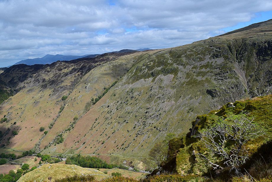
| Looking back towards Dale Head and High Spy from the bridleway |
 |
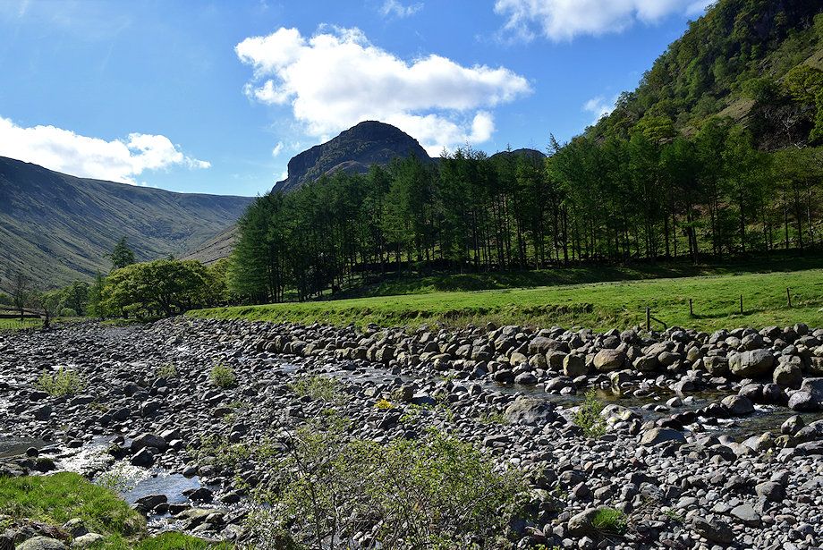
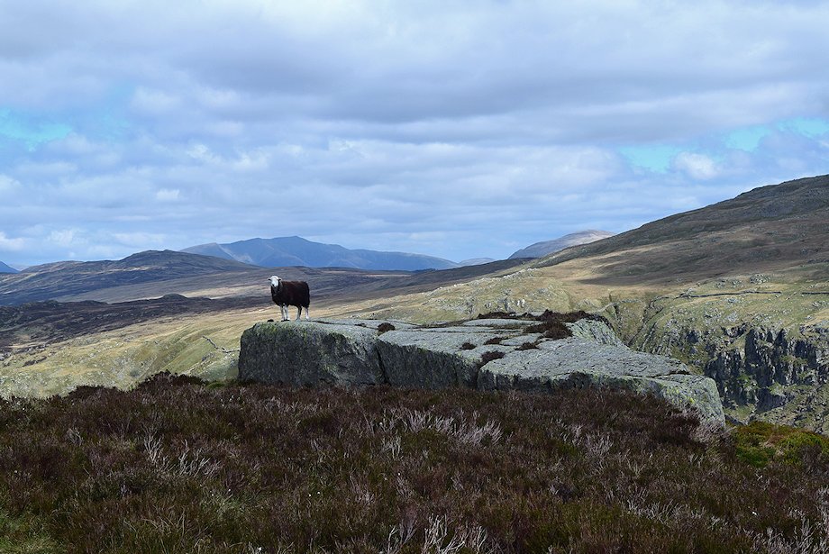
| Eagle Crag from Smithymire Island |
 |
| Looking across to Alisongrass Crag on Rosthwaite Fell from the bridleway |
 |
| Bowfell at the head of Langstrath from Smithymire Island. The Cumbria Way path crosses the footbridge over Greenup Gill here, bound for Langdale |
 |
| The Cumbria Way footbridge over Greenup Gill |
 |
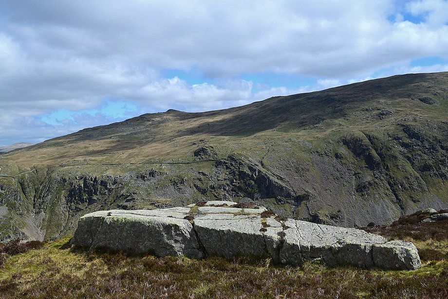
| Dale Head and High Spy from Smithymire Island |
 |
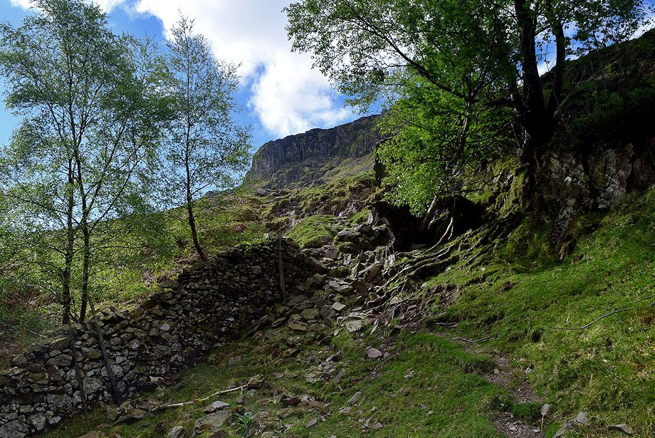
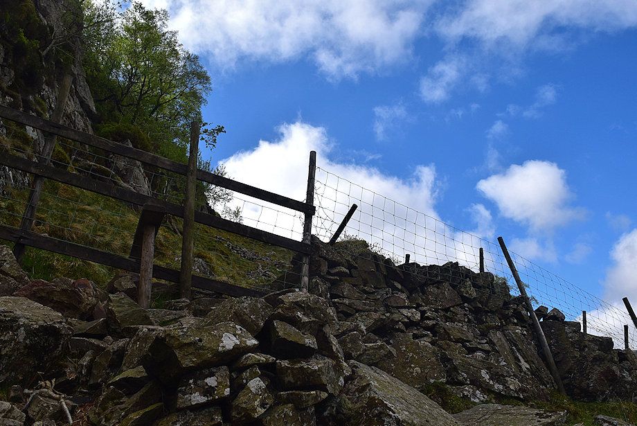
| The Cumbria Way is only followed for a few yards before diverting over a stile in the post and wire fence on the left and following a path through two pastures above Greenup Gill |
 |
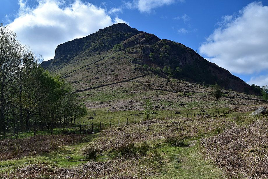
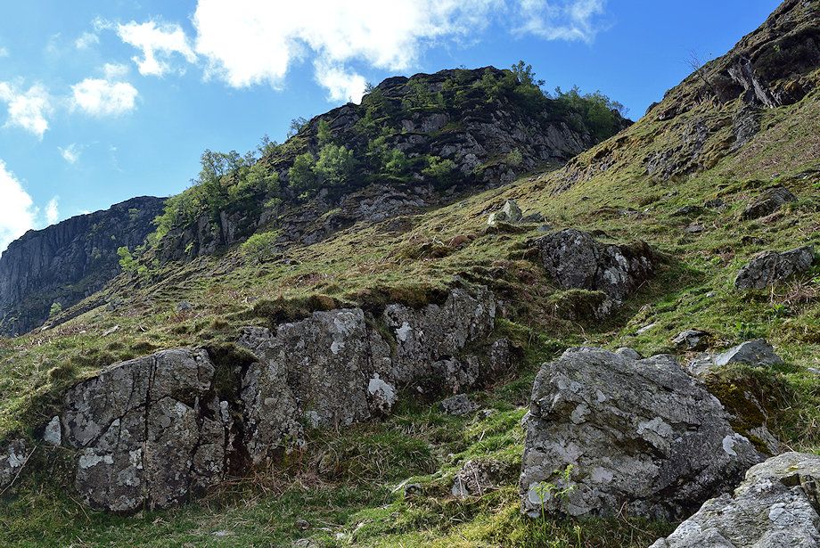
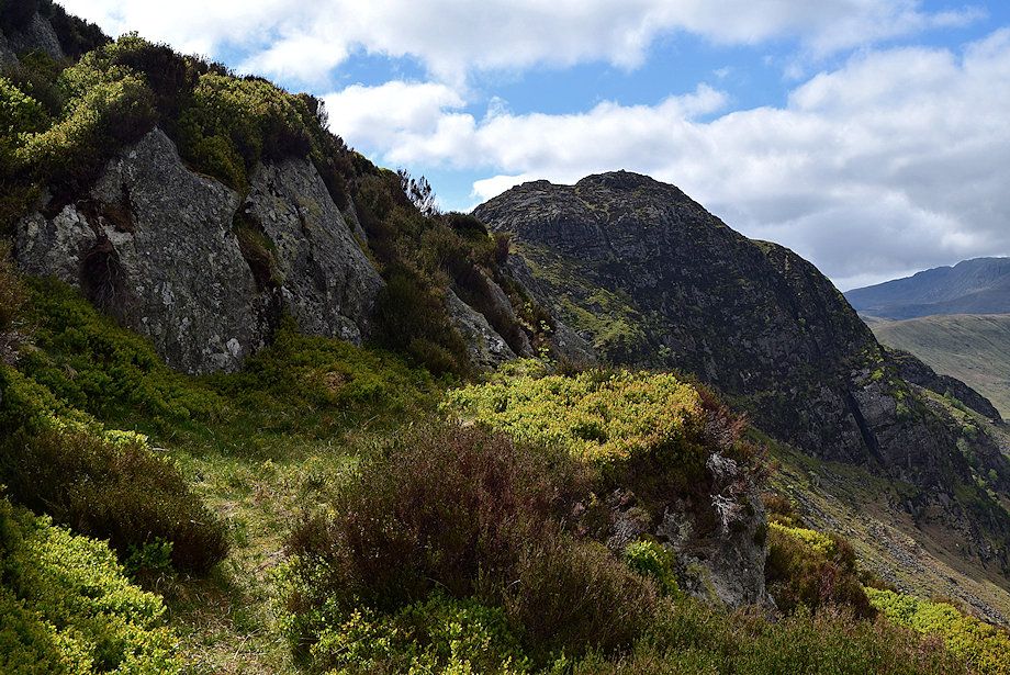
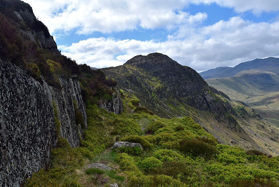
| The vertical faces of Pounsey Crag and Eagle Crag. The line of ascent initially follows the course of the broken wall which can be seen rising diagonally left to right |
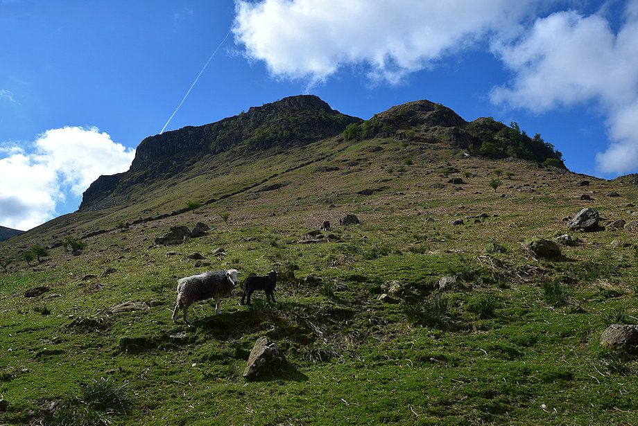 |
| Looking up to Pounsey Crag, Eagle Crag, Bleak How and Heron Crag from the second pasture |
 |
| Looking back from the second pasture |
 |
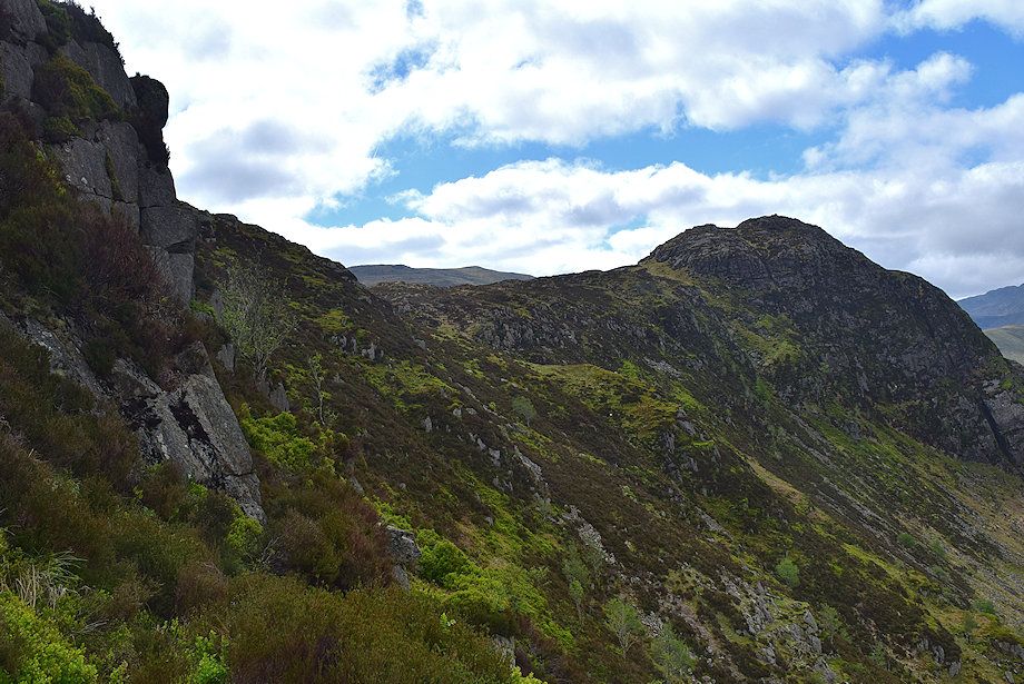
| Eagle Crag from the crossing point in the broken wall |
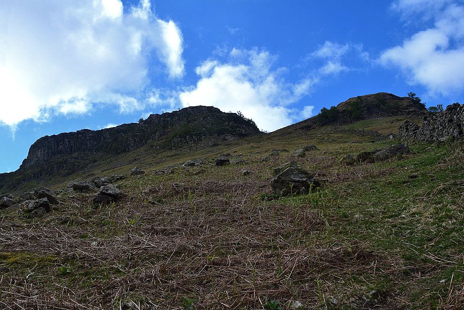 |
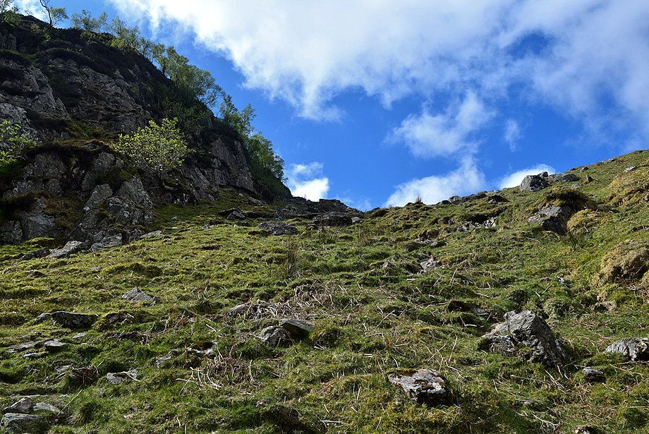
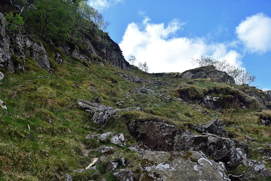
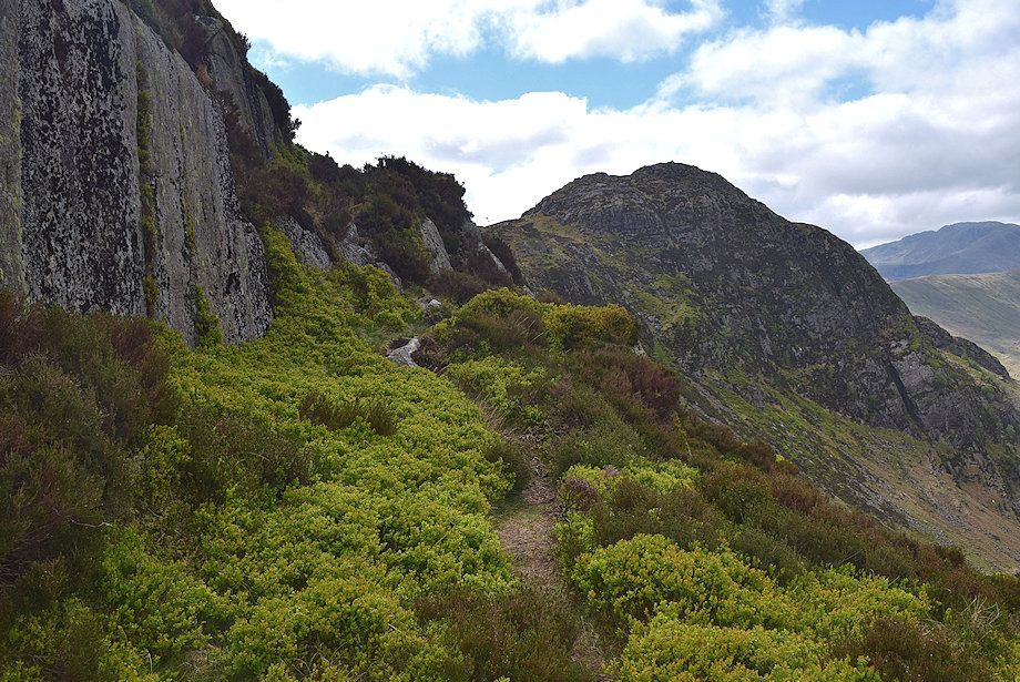
| Looking up to Eagle Crag and Bleak How, the objective is to climb towards the gap between them. There is a faint path to follow alongside the wall |
 |
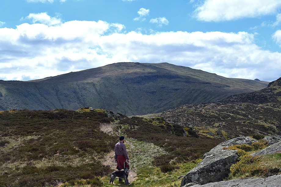
| Dale Head, Hindscarth and High Spy from the start of the climb |
 |
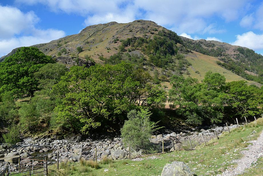
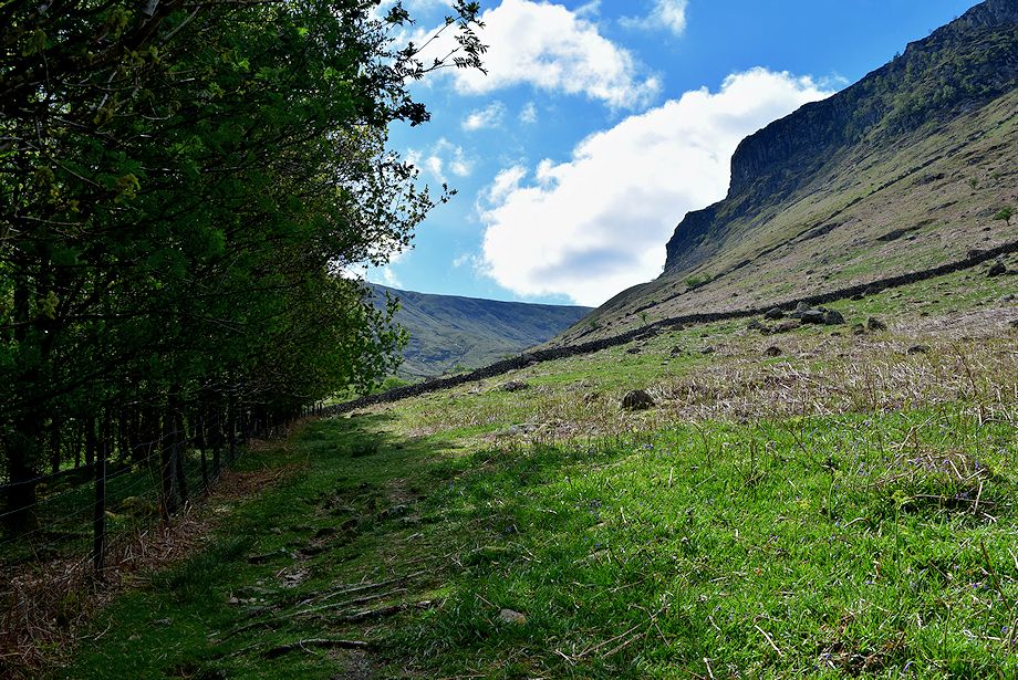
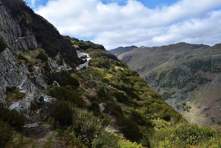
| Looking over towards Rosthwaite Fell |
 |
| Looking back to Lingy End and High Crag on Stonethwaite Fell |
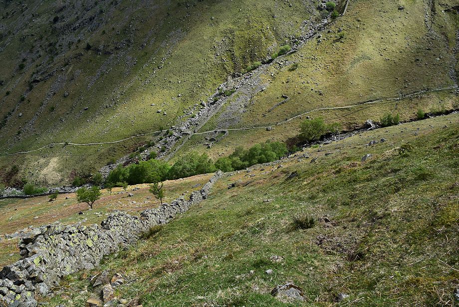 |
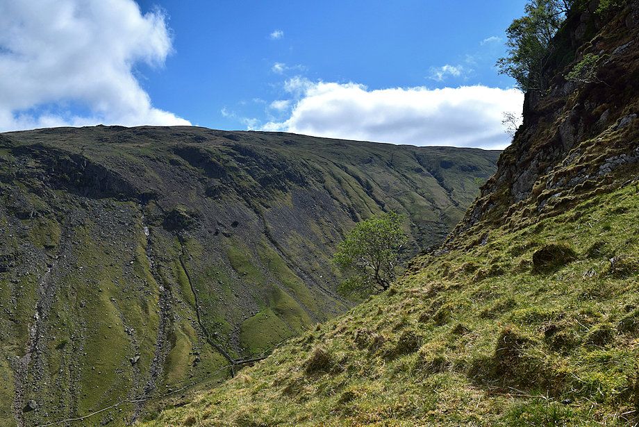
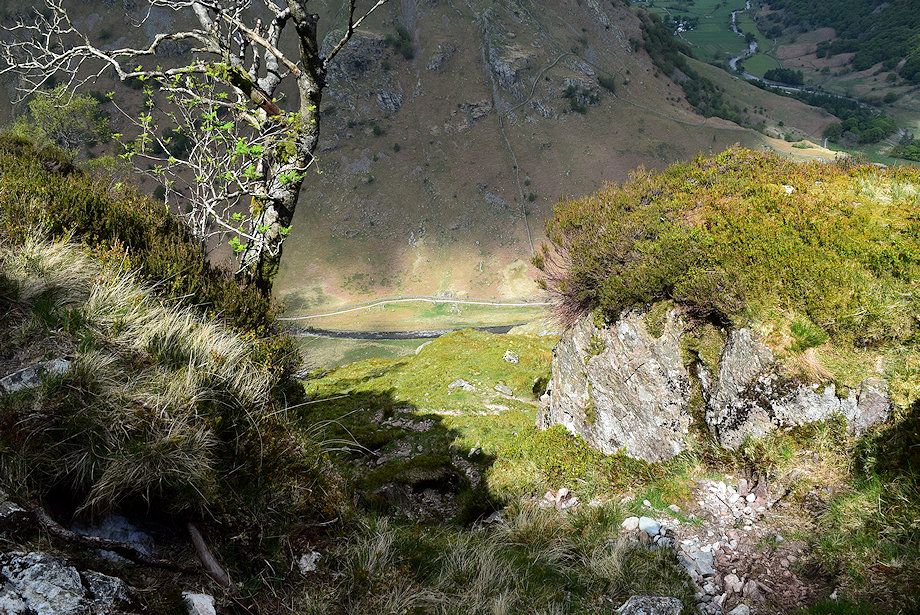
| Looking down to Greenup Gill |
 |
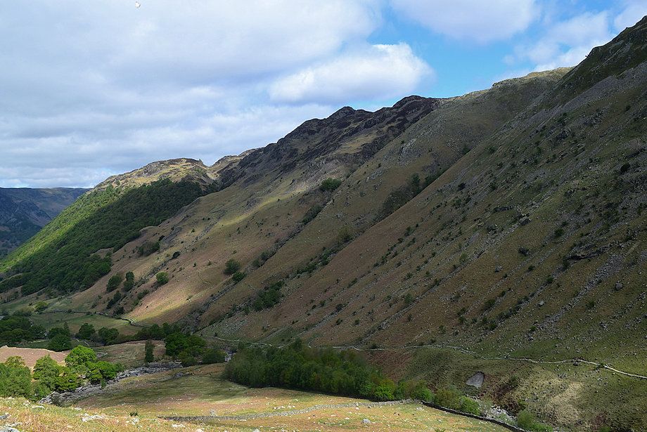
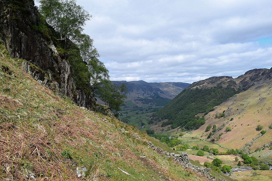
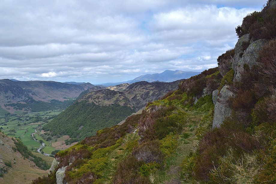
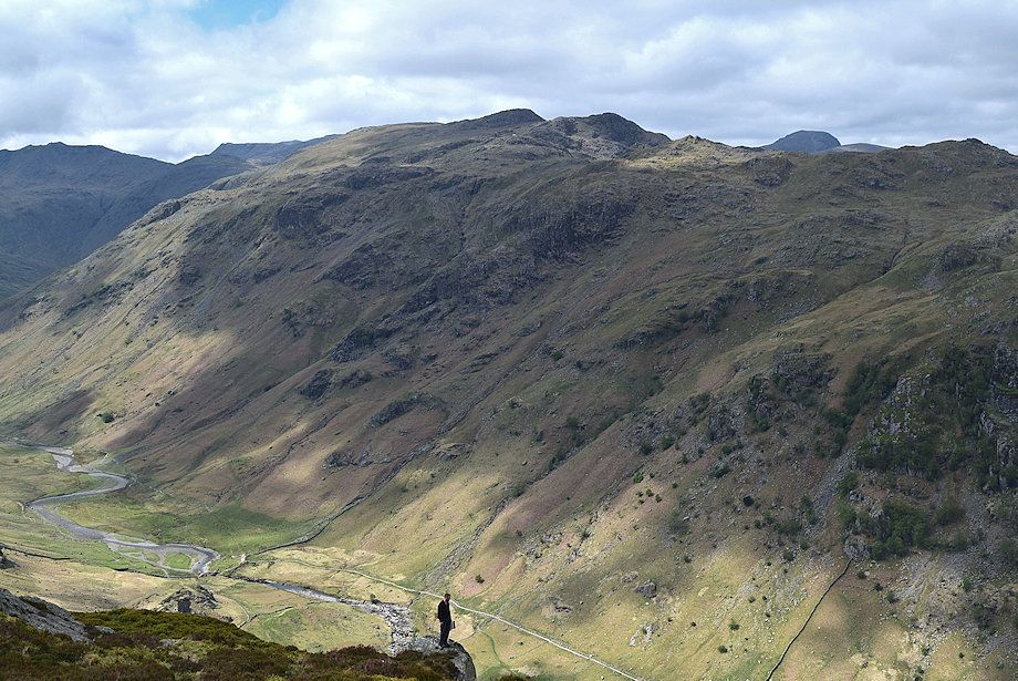
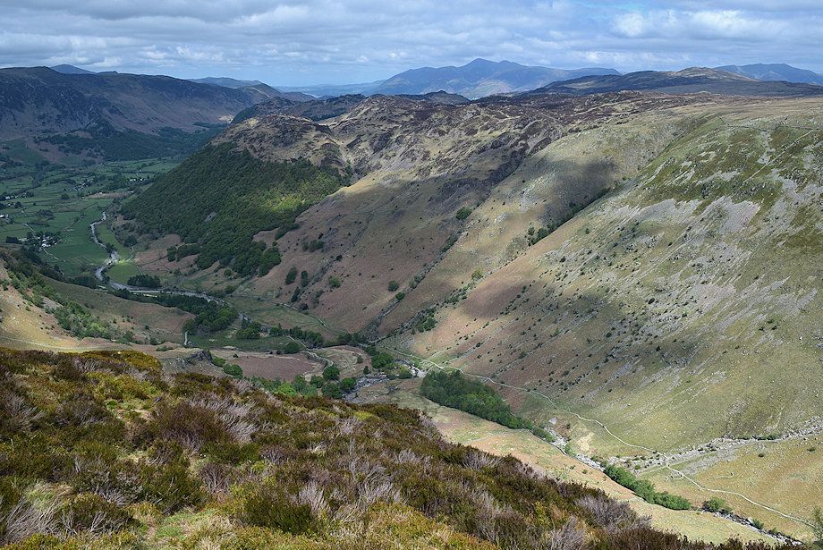
| The Stonethwaite Valley |
 |
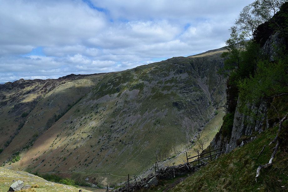
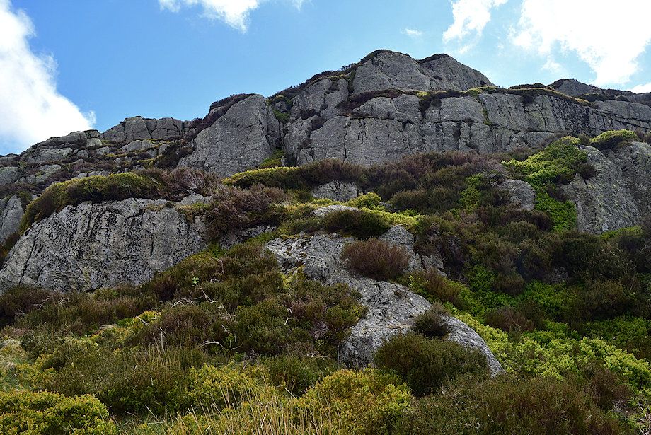
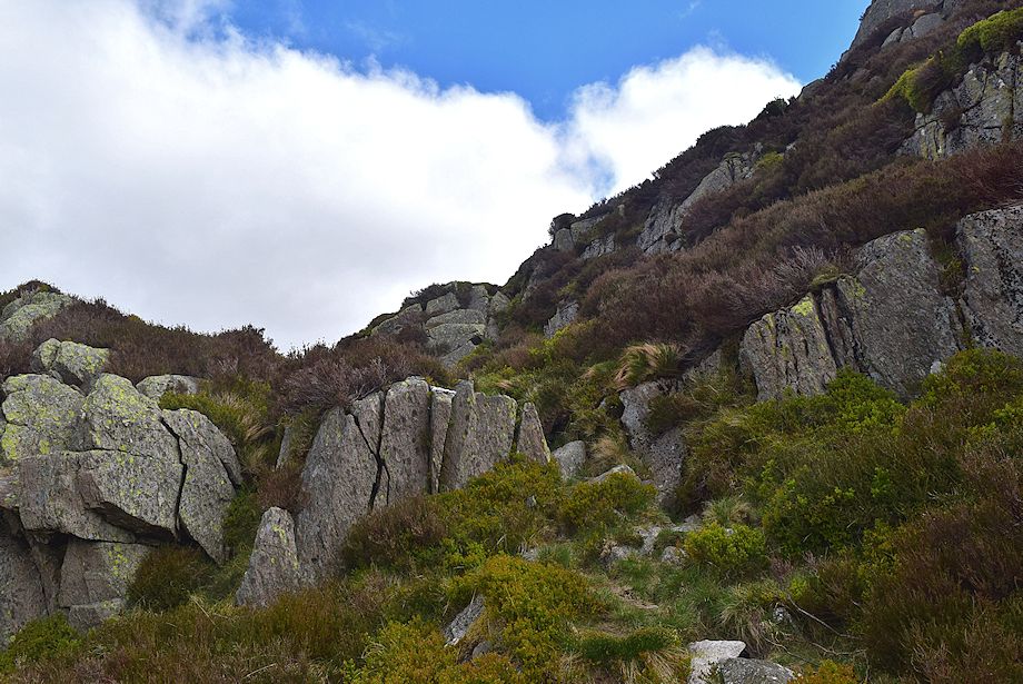
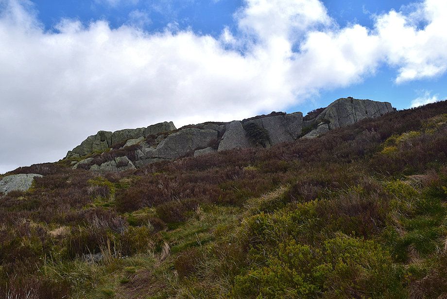
| Near the end of the wall the path swings left and begins a rising traverse below the crags of Bleak How towards the lower buttress of Eagle Crag |
 |
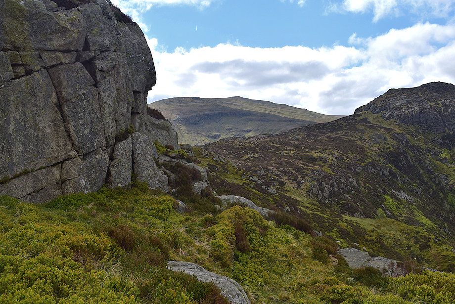
| High Spy across the crags of Bleak How |
 |
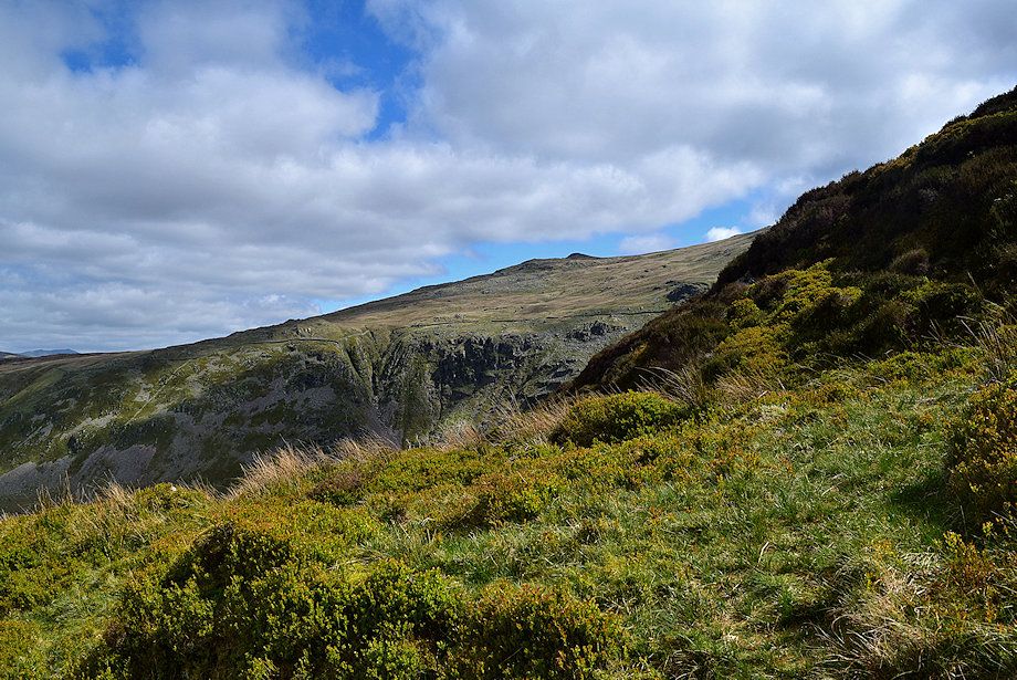
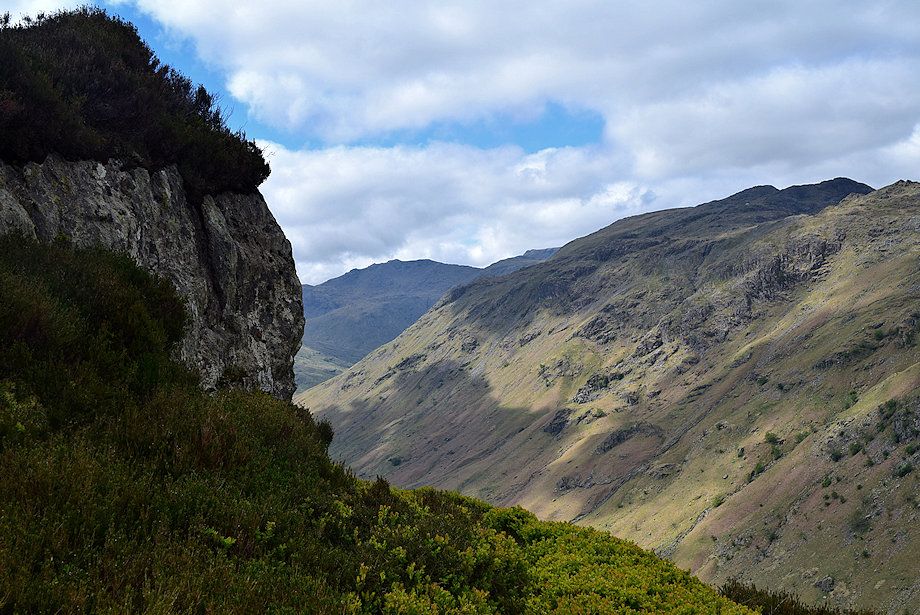
| Looking over towards Ullscarf |
 |
| On reaching the gap continue in the same direction to reach a stile in the wall which butts against the wall of crags |
 |
| The stile in the wall |
 |
| Looking over towards Rosthwaite Fell from the stile |
 |
| A faint path continues on from the stile along a steep ramp |
 |
| Looking back to the stile |
 |
| Looking back over the top of Bleak How |
 |
| Skiddaw appears over the top of High Crag on Stonethwaite Fell |
 |
| Esk Pike and Glaramara from the end of the ramp |
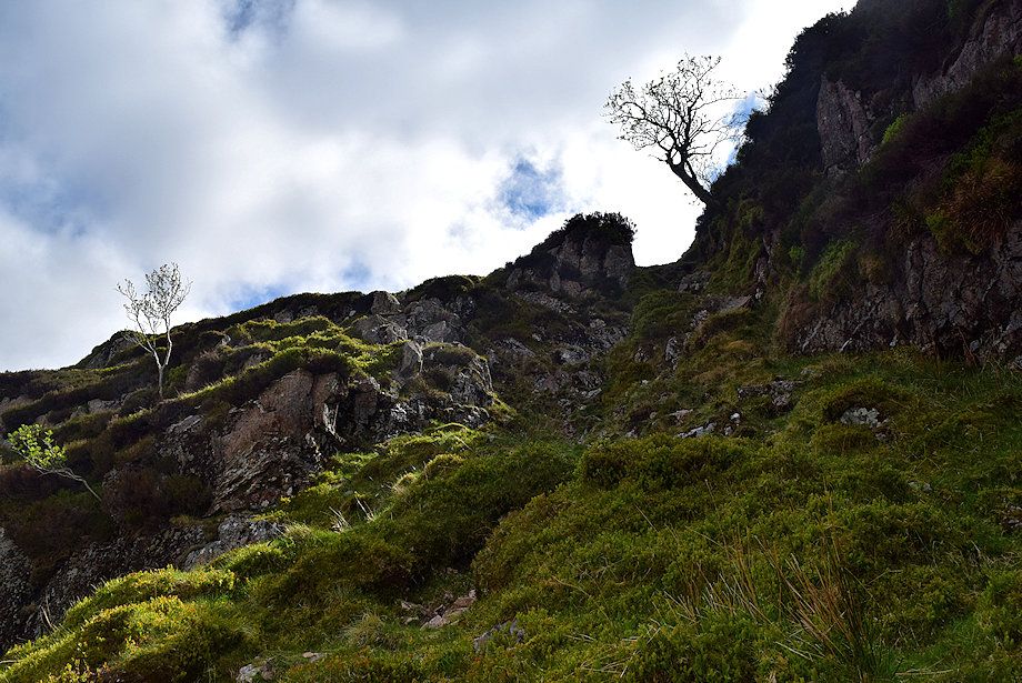 |
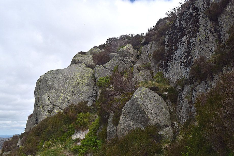
| The escape from the ramp is by a short gully on the left, indentified by a Rowan clinging to the rock face. "This is the key to the ascent" as AW described it on his diagram of Route A in his chapter on Eagle Crag |
 |
| Looking down from the top of the gully |
 |
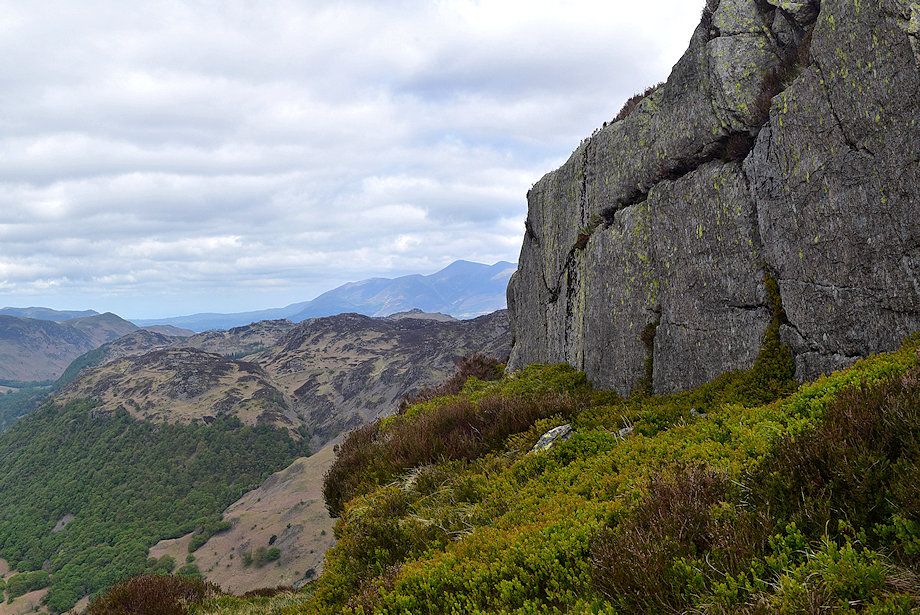
| The ascent path turns sharply to the right from the top of the gully but it's worthwhile continuing straight ahead for 50 yards for a dramatic view of the vertical face of Eagle Crag |
 |
| The vertical face of Eagle Crag from the viewpoint |
 |
| Returning to the top of the gully to follow the ascent path along a shelf above the Rowan |
 |
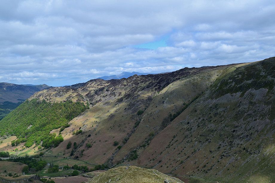
| Looking back to Stonethwaite Fell, Skiddaw appears over Great Crag and Blencathra is visible to the right of the summit of High Seat |
 |
| Higher on the shelf path |
 |
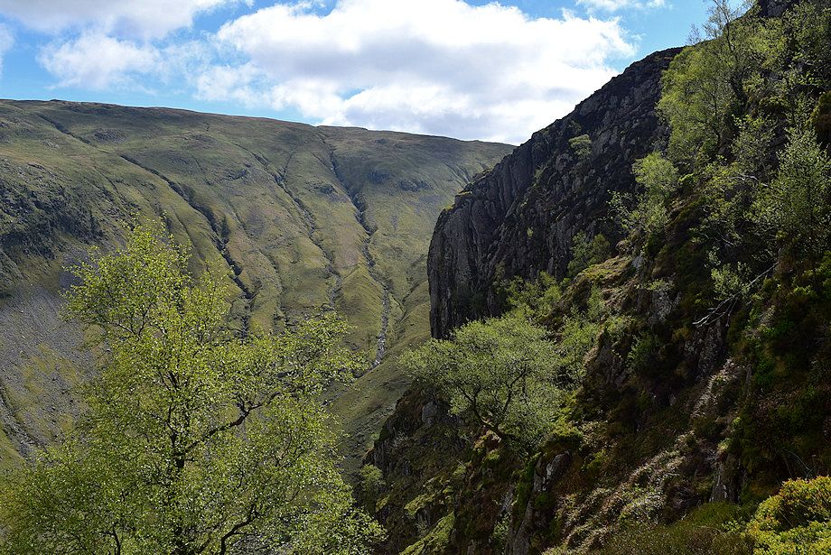
| Esk Pike and Glaramara across Langstrath |
 |
| Sergeant's Crag comes into view. The path turns sharply left at this point to climb up to a higher shelf |
 |
| Looking over towards Borrowdale |
 |
| The path makes several similar zigzag turns to avoid the steep rock bands which bar a direct climb to the summit |
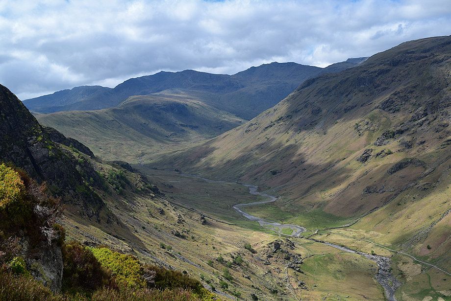 |
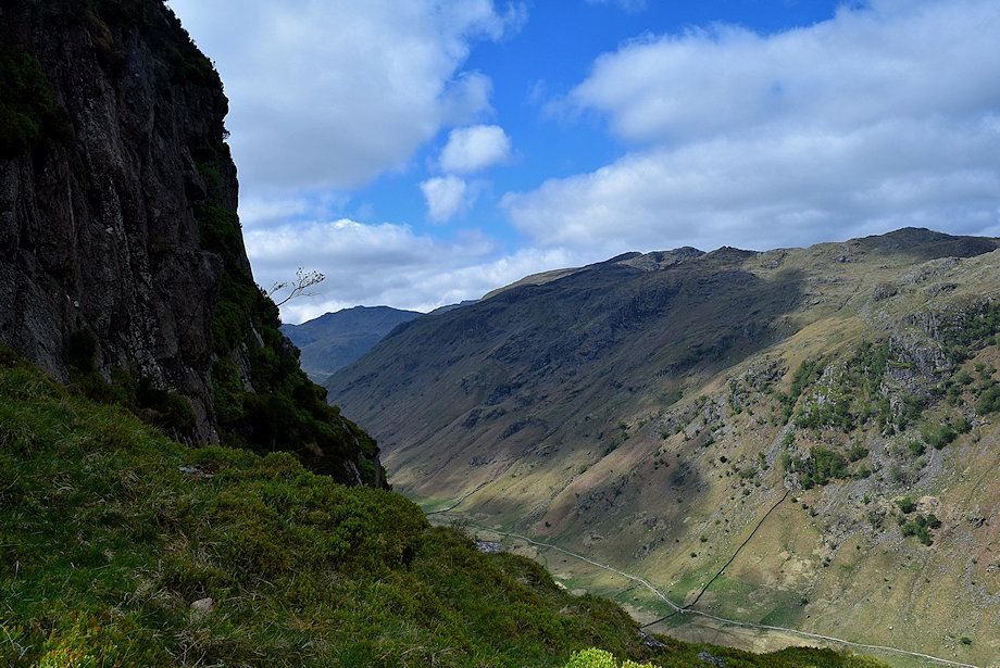
| Looking down on Langstrath |
 |
| Sergeant's Crag, Crinkle Crags and Bowfell from the path on the higher shelf |
 |
| The shelf ends abruptly above a gully and the path again switches back onto another shelf |
 |
| The path to the upper shelf |
 |
| This shelf is only followed for a short distance before making a short scramble through a break in the crags on the left |
 |
| The scramble route through the crags |
 |
| Above the scramble the path leads through easier ground amid the rock outcrops towards the summit |
 |
| Skiddaw over Great Crag and Brund Fell from the climb to the summit |
 |
| Looking back towards Dale Head and Hindscarth from the climb to the summit |
 |
| Looking down on Langstrath from the path to the summit |
 |
| High Raise across one of the rock outcrops below the summit |
 |
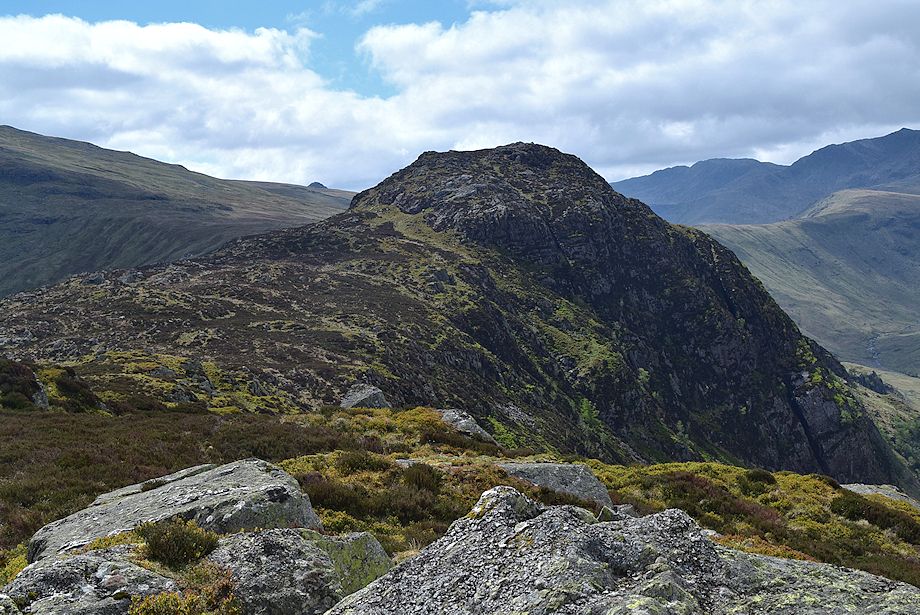
| Approaching the summit of Eagle Crag |
 |
| The summit cairn on Eagle Crag perched on the end of a tilted slab |
 |
| Blencathra from the summit of Eagle Crag |
 |
| Low Saddle and High Saddle on Ullscarf from the summit of Eagle Crag |
 |
| High Raise from the summit of Eagle Crag |
 |
| Sergeant's Crag from the summit of Eagle Crag |
 |
| Crinkle Crags, Bowfell, Esk Pike, Allen Crags and Ill Crag above the head of Langstrath |
 |
| Glaramara across Langstrath with the summit dome of Great Gable on the right |
 |
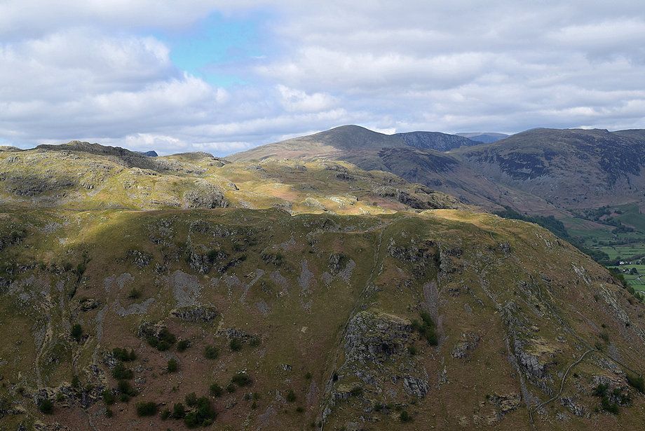
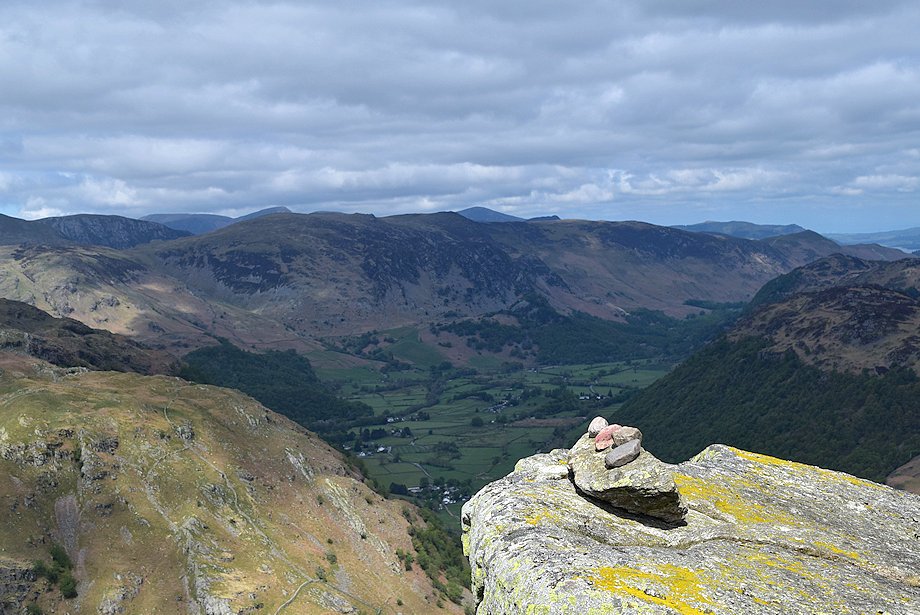
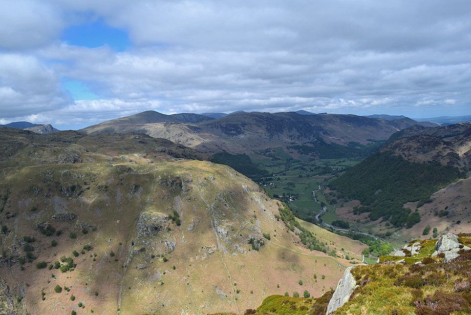
| Rosthwaite Fell across Langstrath from the summit of Eagle Crag |
 |
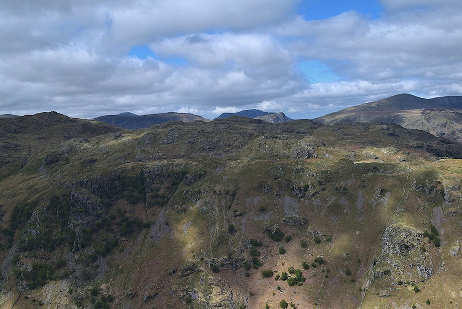
| The North Western Fells from the summit of Eagle Crag |
 |
| Skiddaw from the summit of Eagle Crag. The clear path on the right, which is not a descent route, leads to a viewpoint overlooking Greenup Gill |
 |
| Greenup Gill from the viewpoint on the edge of crags |
