 |
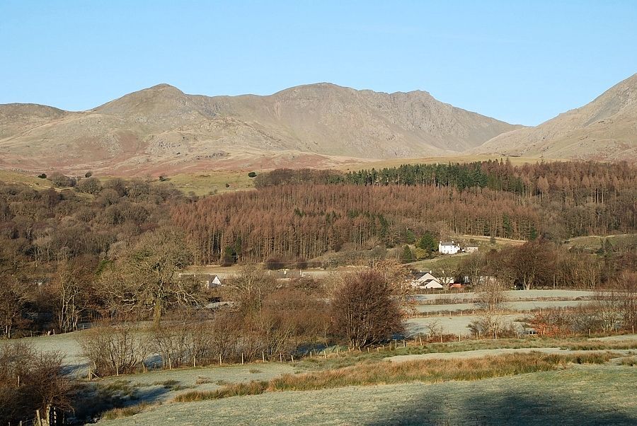
| Dow Crag seen from above Torver. The route crosses the moorland in the middle distance to Walna Scar Pass (the low point of the ridge on the left) then over the tops of Brown Pike and Buck Pike to the summit |
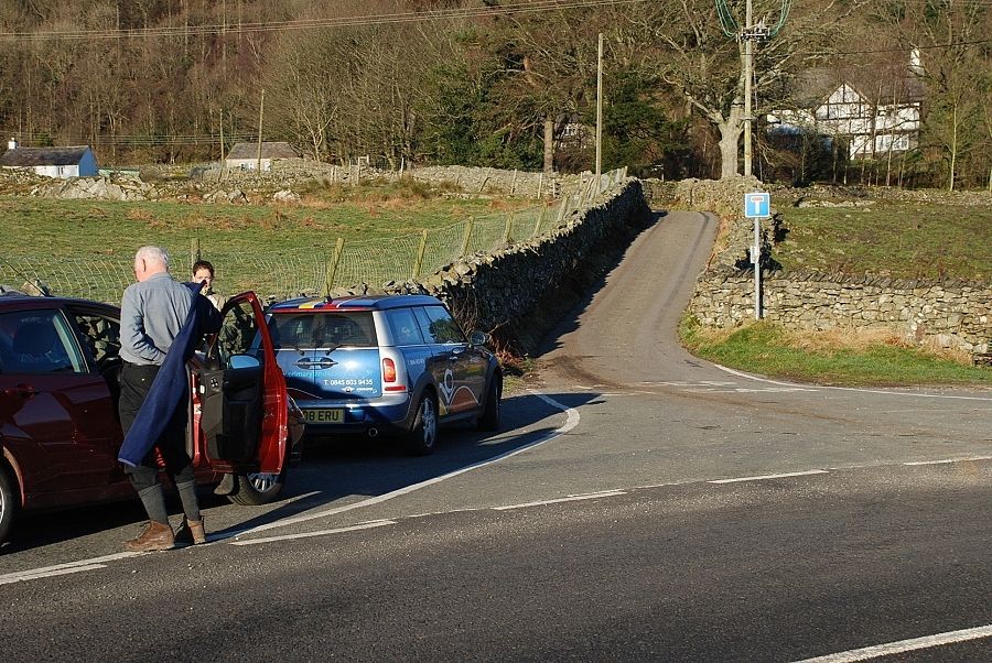 |
| Scarr Head Lane, the start of the walk. There is limited parking by the junction but more is available nearby |
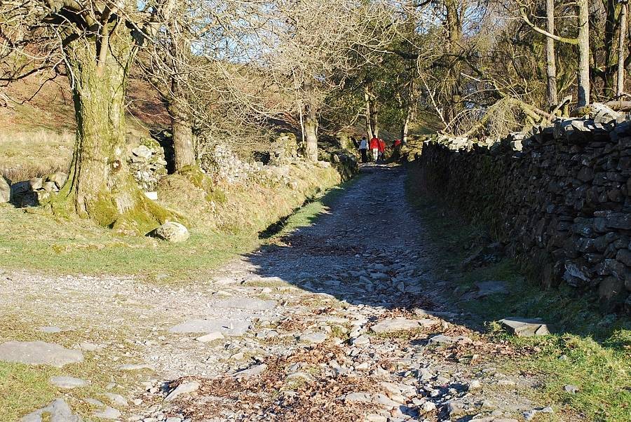 |
| Past the last dwellings of Scarr Head, the lane leads on to a walled bridleway which rises gradually high above Torver Beck |
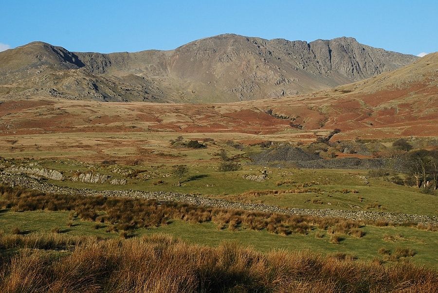 |
| Dow Crag comes into view when the bridleway reaches its highest point before it drops down towards Torver Beck |
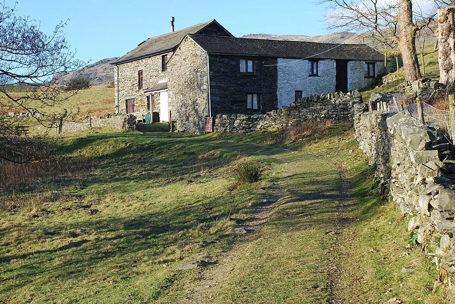 |
| Tranearth, this was a farm when AW wrote his guide, now it is a mountaineering club hut |
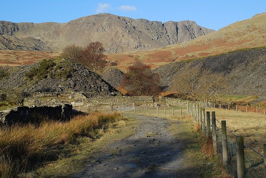 |
| The lane ends at a sheep pen in front of the disused Banishead Quarry. The line of the bridleway continues on to the left of the quarry spoil heaps heading directly for Cove bridge but it becomes very boggy as it nears the bridge. It is better to go half right through the pen, cross Torver Beck by a footbridge and proceed through the quarry |
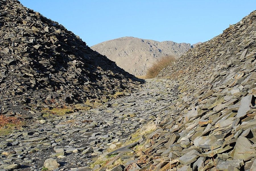 |
| The path through the quarry. In Wainwrights day this was a narrow cut that was choked with quarry waste. It was easier to avoid it by climbing onto the spoil heaps |
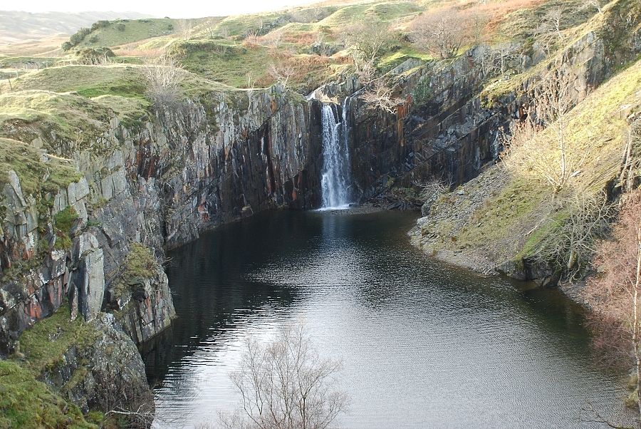 |
| The main excavation of the quarry has been flooded by a breach of the Torver Beck which runs alongside it |
 |
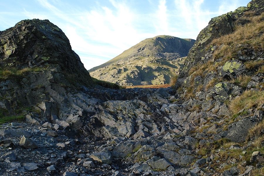
| Approaching the Walna Scar Road with a choice of paths, the one on the right is the most popular. This whole area has a great archaeological signifigance with traces of field systems, dwellings and burial mounds dating back over 4,000 years to the early Bronze age |
 |
| The Walna Scar road is joined at the second rock gate. The road was constucted along the course of a much older packhorse route between Coniston and the Duddon Valley to serve the quarries on either side of the pass. One of the spoil heaps can be seen on the face of Brown Pike |
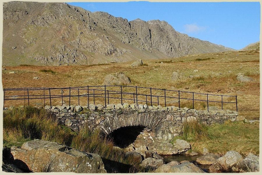 |
| A few hundred yards beyond the rock gate the road crosses Torver Beck by Cove Bridge Dow Crag - page 4 |
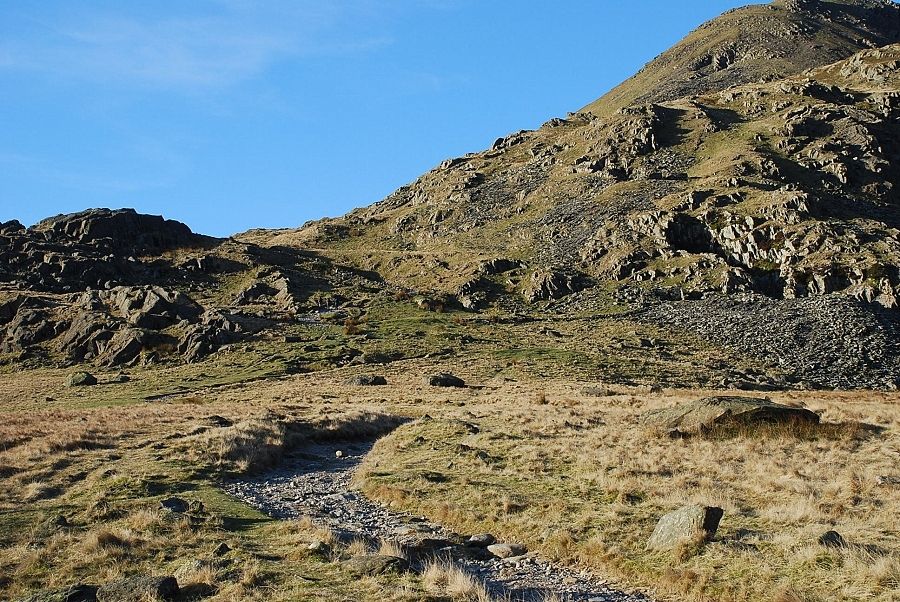 |
| Along from the bridge the road begins to climb more steeply towards the pass in a series of zig zags |
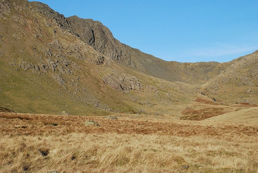 |
| Looking over The Cove towards Goat's Hause from the road |
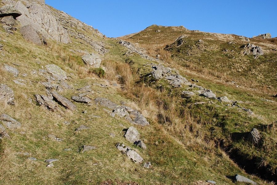 |
| Above the first steep rise of the road a well constructed path leads off to the right. This one is the lower of two paths that lead to Blind Tarn Quarry, and was used for the export of the slate and is worthy of an exploration |
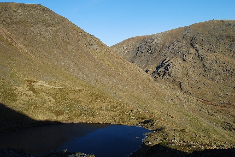 |
| The path leads over the quarry spoil banks to a view of Blind Tarn. |
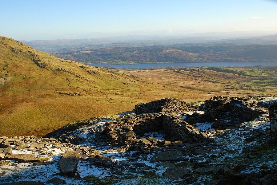 |
| Looking back over the ruins of the quarry buildings to Coniston Water |
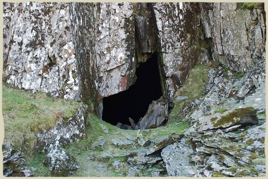 |
| The entrance to the big cave in Blind Tarn Quarry. The cave extends back many yards into the hillside and goes even further to the right where a level walkway overlooks a deeper excavation with short side tunnels. There is much evidence of roof falls, the debris on the right side of the entrance is the result of one, it was not there when AW drew his sketch Dow Crag - page 4 |
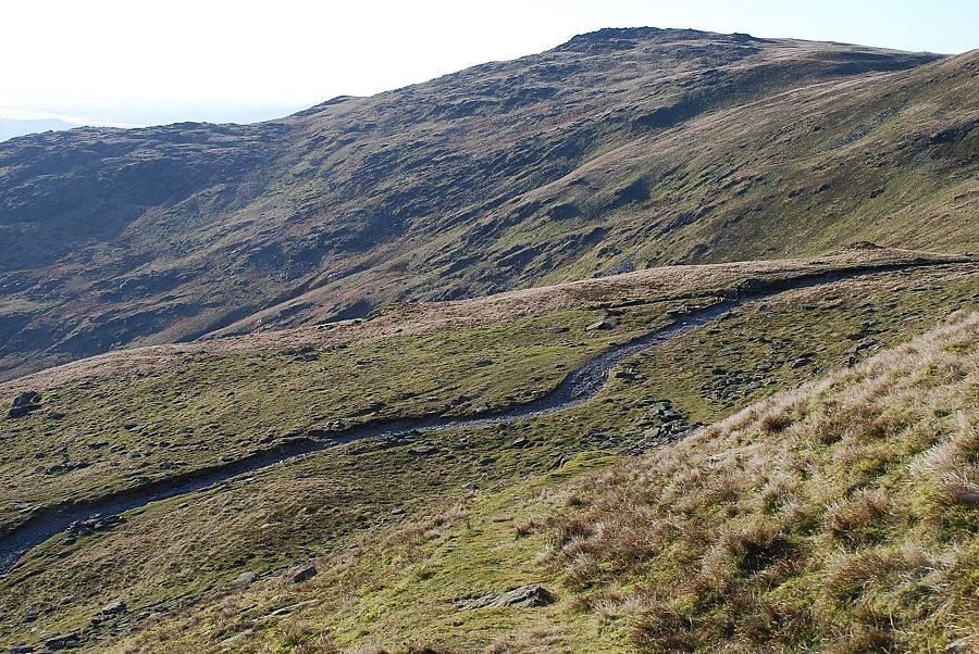 |
| Descending the upper path from the quarry to rejoin the Walna Scar Road |
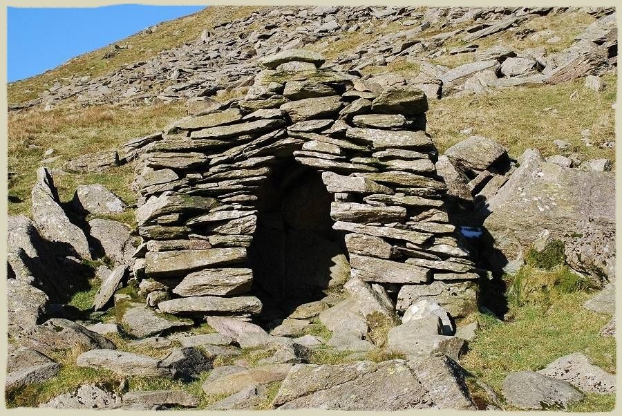 |
| A short distance below the summit of the pass there is a small stone shelter by the side of the road. It was probably constructed for the benefit of travellers overtaken by bad weather in the days of the packhorse trade Dow Crag - page 4 |
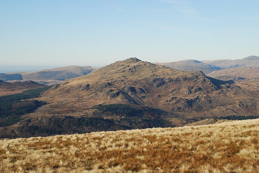 |
| On reaching the summit of the pass the view opens out across the Duddon Valley. Whin Rigg, Seatallan, Caw Fell, and Haycock are the fells on the horizon with Harter Fell in the middle foreground |
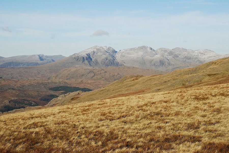 |
| The Scafells from Walna Scar Pass |
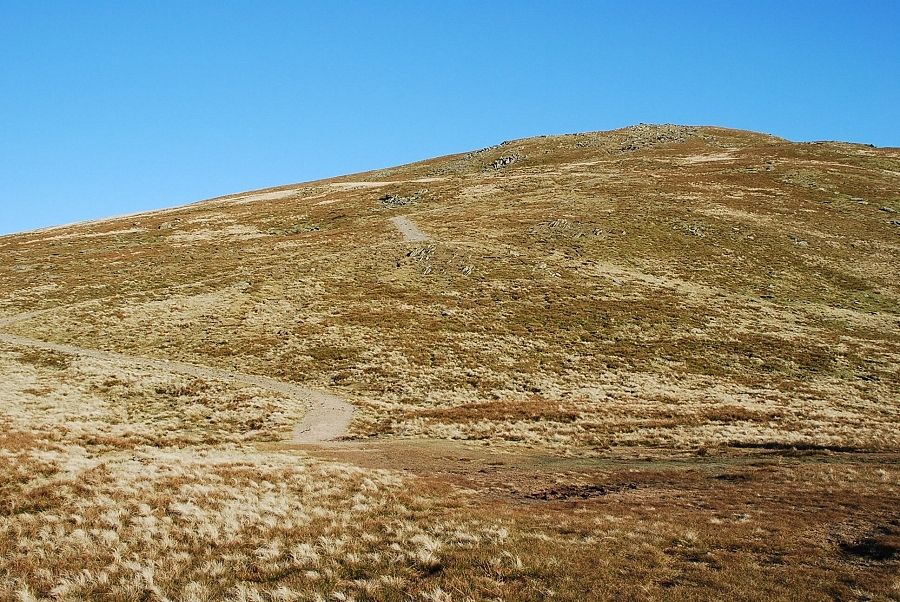 |
| The way ahead from the pass, a wide path sweeps up to the summit of Brown Pike |
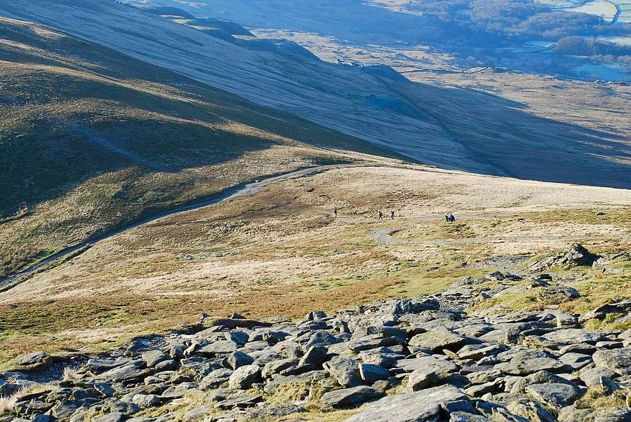 |
| Looking back from the summit of Brown Pike to the top of the Walna Scar Pass. Note the large quarry spoil heaps on the frosted slopes above the DuddonValley |
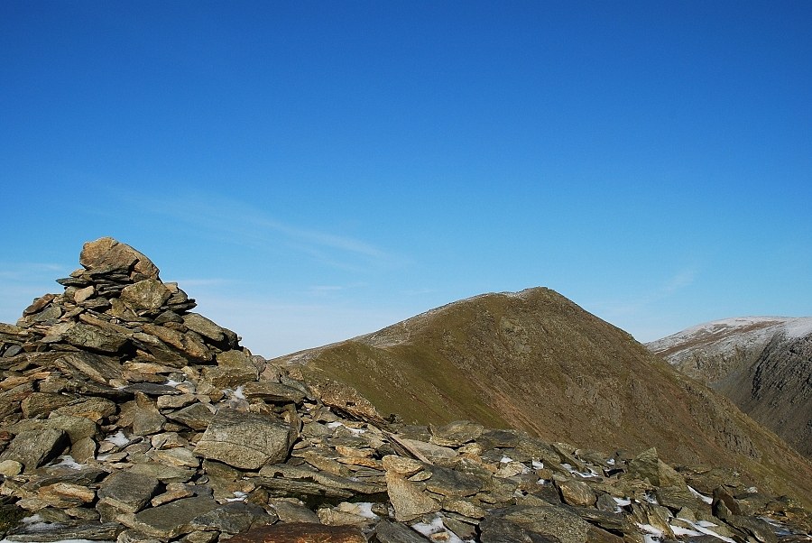 |
| Buck Pike from the summit of Brown Pike |
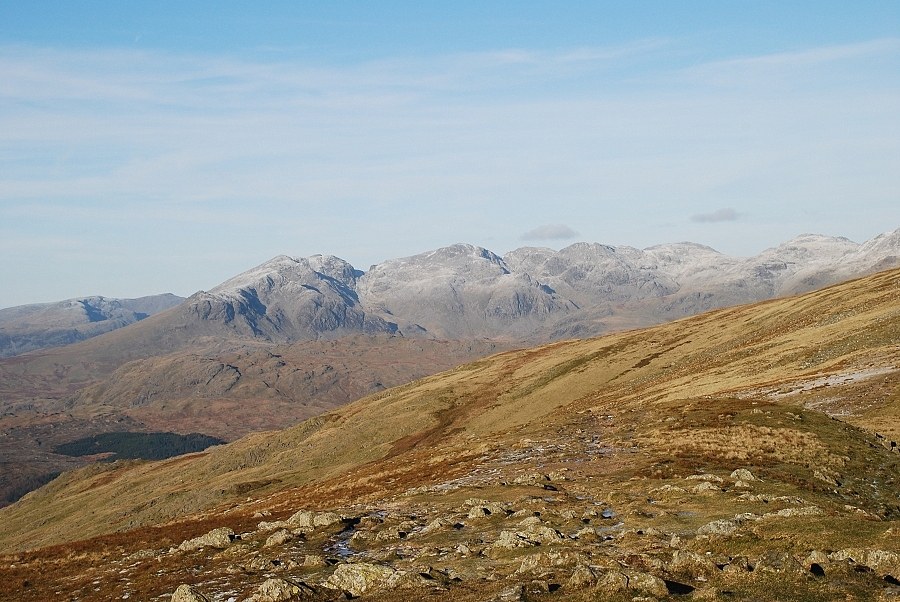 |
| The Scafells and Esk Pike from the summit of Brown Pike |
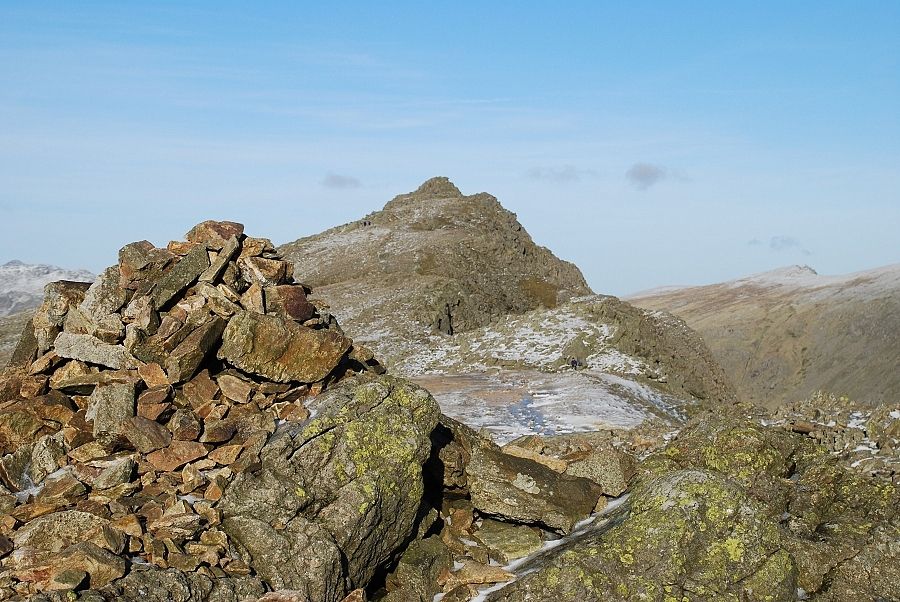 |
| Dow Crag from the summit of Buck Pike |
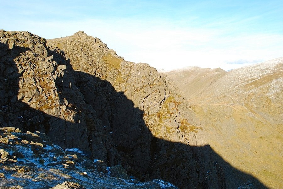 |
| A view across Dow Crag's 'A' and 'B' buttresses on the approach to the summit |
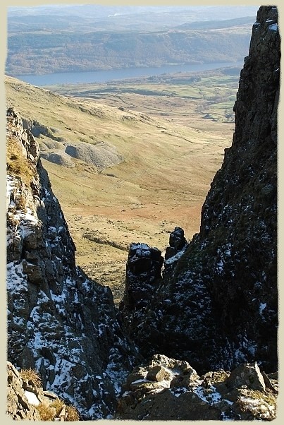 |
| A glimpse down Easy Gully with its snow-capped pinnacles from the path along the ridge Dow Crag - page 10 |
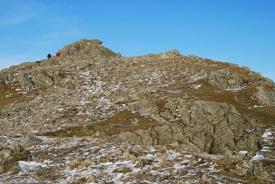 |
| The summit rocks of Dow Crag from near the head of Great Gully |
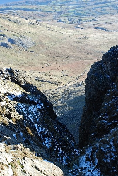 |
| Looking down Great Gully to The Cove which is 1,000ft below this point |
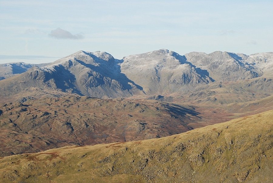 |
| The Scafells from the summit of Dow Crag |
 |
| The main ridge of the Coniston Fells leading to Swirl How |


