
| Dollywaggon Pike - Route One |
| Start - Patterdale NY 395 159 | Distance - 4.2 miles | Ascent - 2,495 feet | Time - 2 hours : 50 minutes |
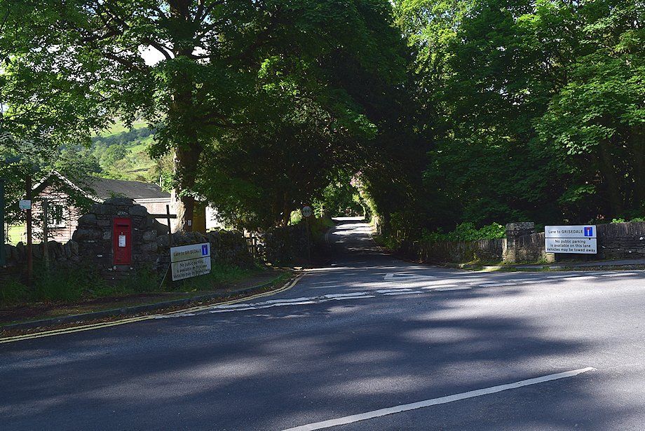 |
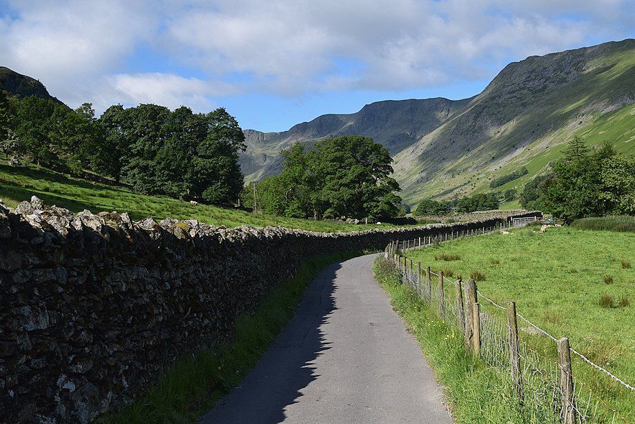
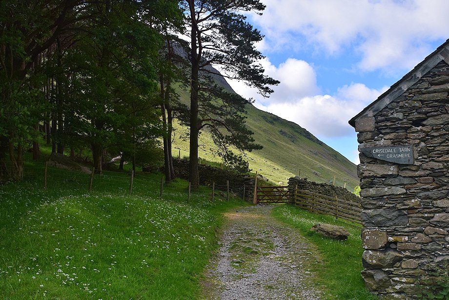
| The walk starts from Grisedale Bridge along the narrow lane leading into Grisedale. There is a bus stop beside the bridge and a pay-and-display car park opposite the Patterdale Hotel located a third of a mile to the south of the bridge |
 |
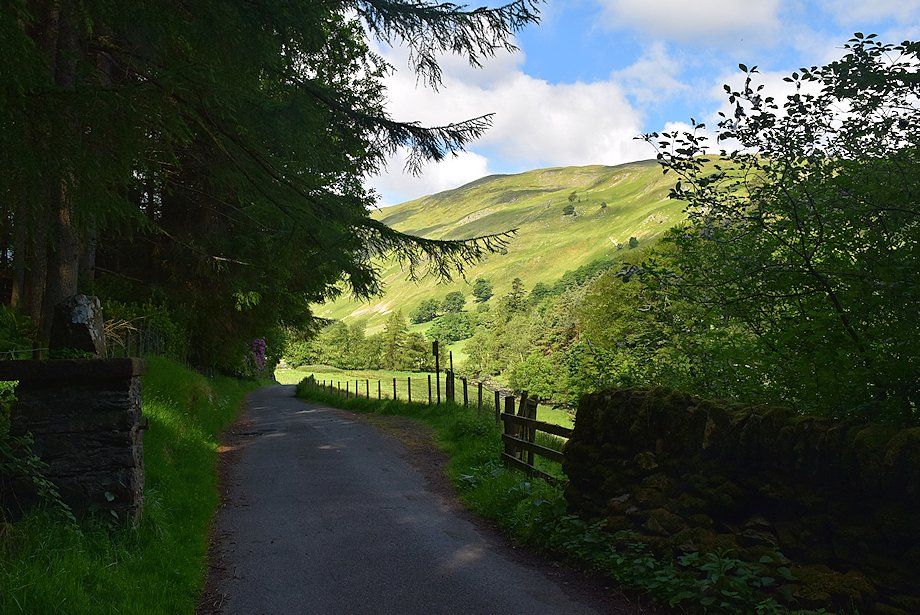
| The lane climbs quite steeply high above the tree shrouded Grisedale Beck. Just under a third of a mile along from Grisedale Bridge a footpath joins the lane which starts from the rear of the Patterdale Hotel |
 |
| Half a mile from Grisedale Bridge the lane reaches its highest point and begins to descend into Grisedale |
 |
| Looking back towards Place Fell |
 |
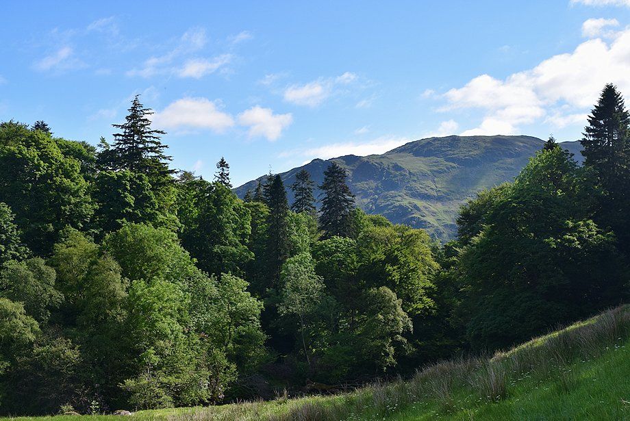
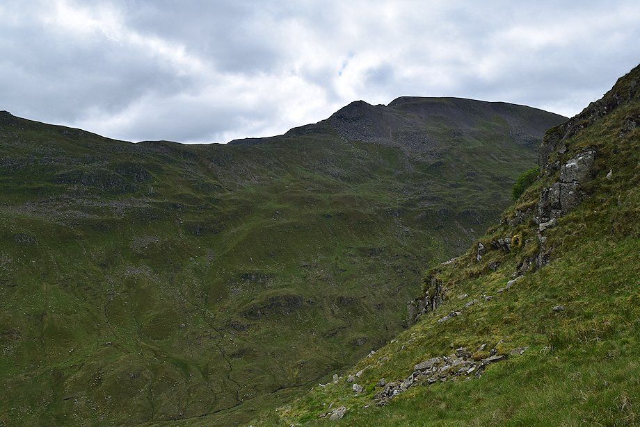
| Nethermost Pike comes into view |
 |
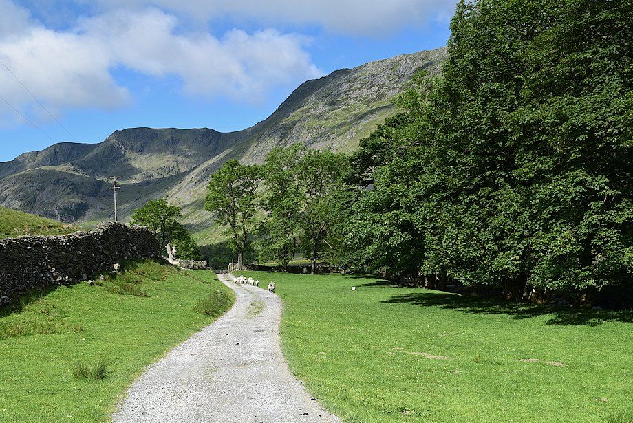
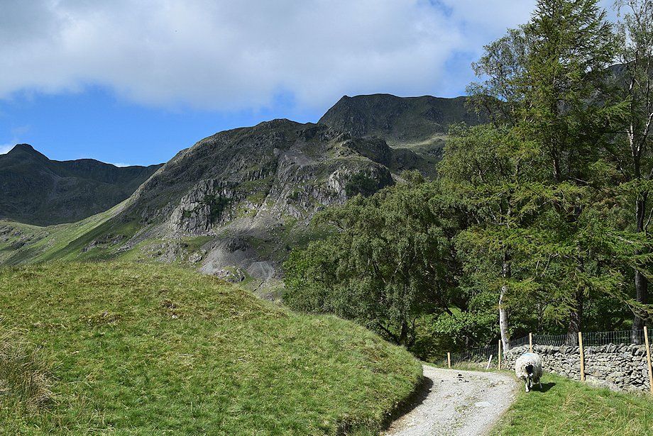
| Two thirds of a mile from Grisedale Bridge the public footpath to Helvellyn turns off to the right |
 |
| A few yards further on the public footpath from Patterdale joins the lane |
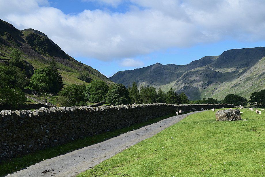 |
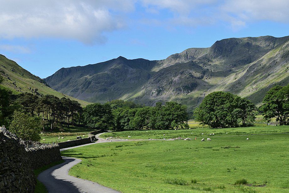
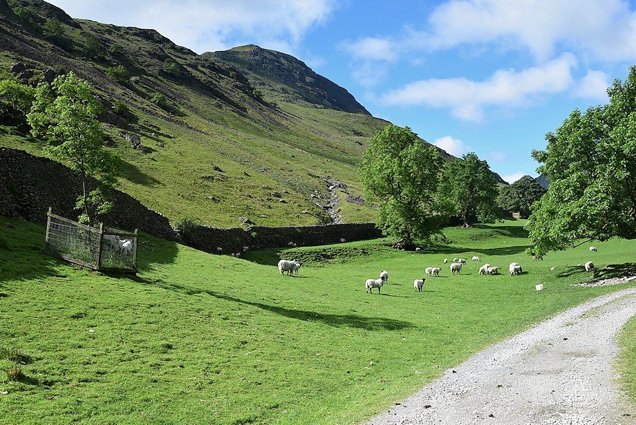
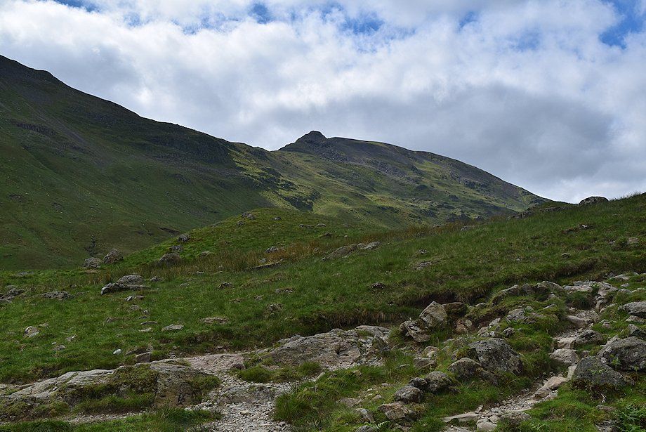
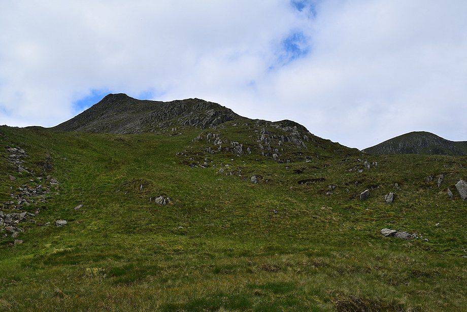
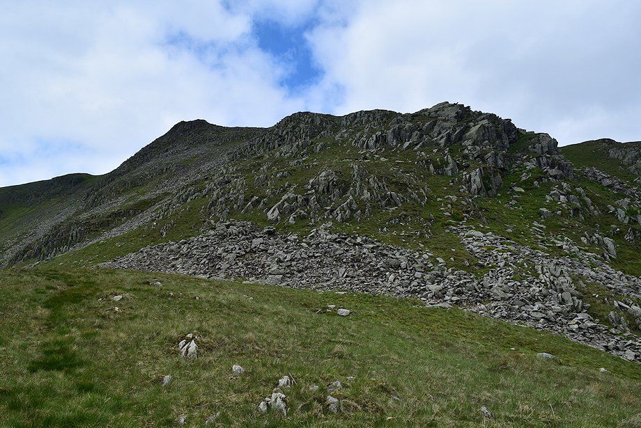
| The steep prow of The Tongue leading up to the summit of Dollywaggon Pike comes into view |
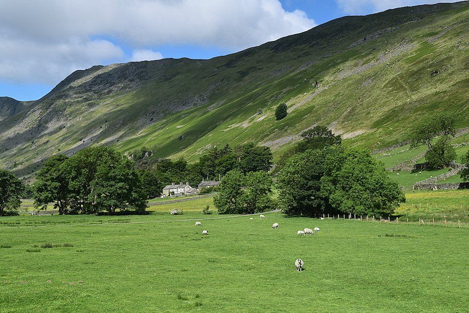 |
| Looking across to Braesteads Farm |
 |
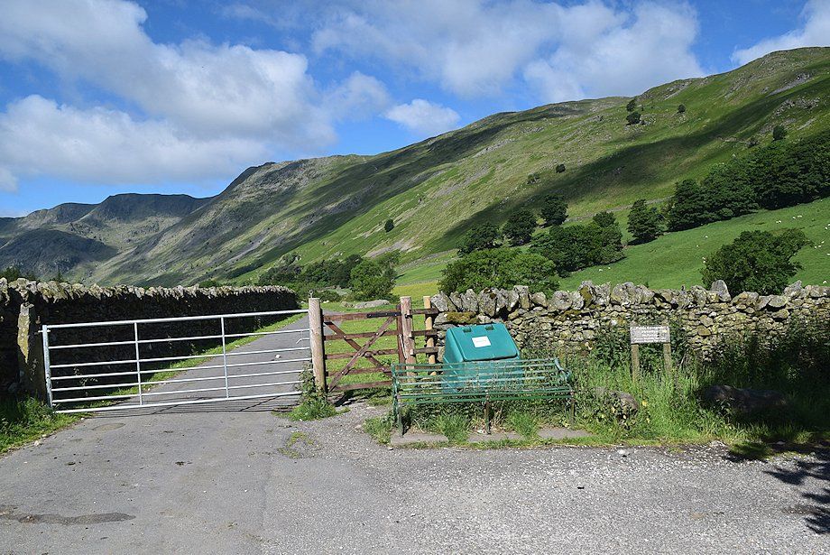
| Approaching the access road to Braesteads Farm |
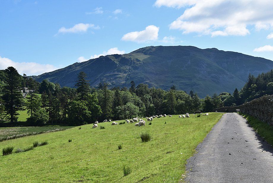 |
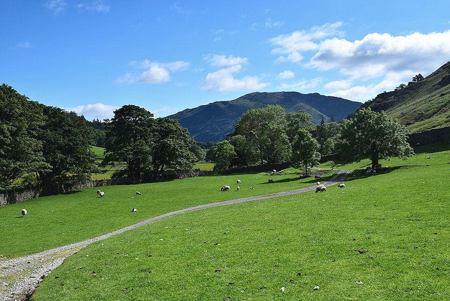
| Looking back towards Place Fell |
 |
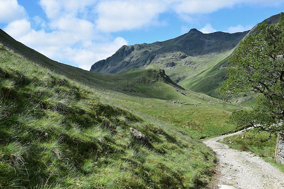
| The metalled lane ends at the Braesteads Farm access road and and becomes an unsurfaced farm track which is also a bridleway leading to Elmhow |
 |
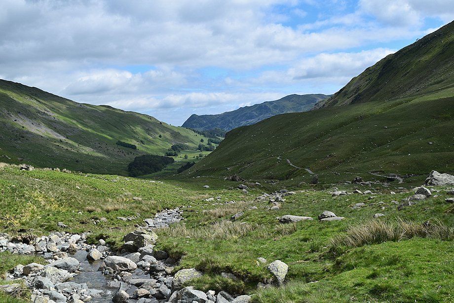
| St. Sunday Crag from the track to Elmhow |
 |
| Looking back to Place Fell from the Elmhow track |
 |
| Elmhow |
 |
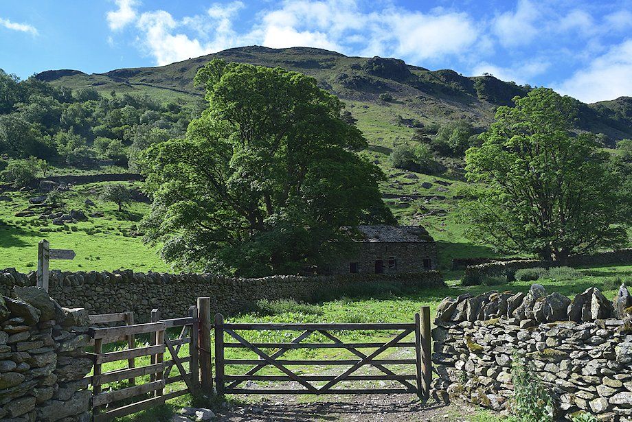
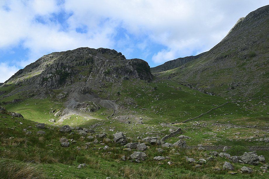
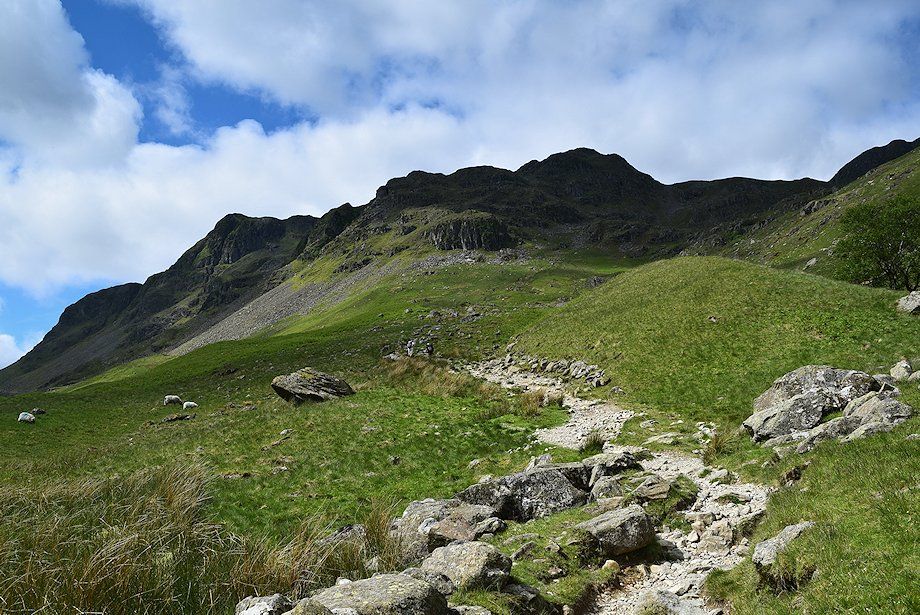
| Dollywaggon Pike above the field barn beyond Elmhow |
 |
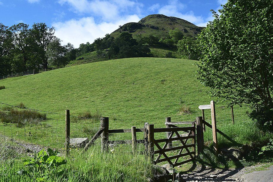
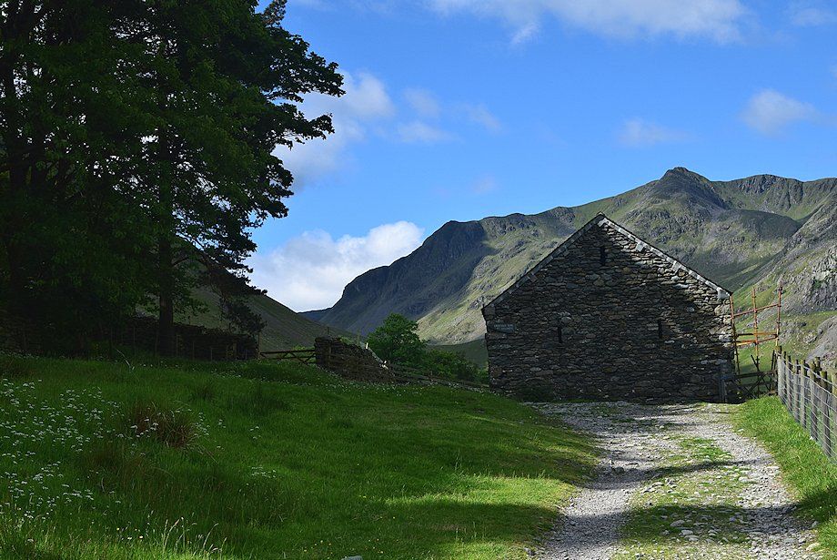
| The bridleway passes to the left of the barn and rises slightly to a gate |
 |
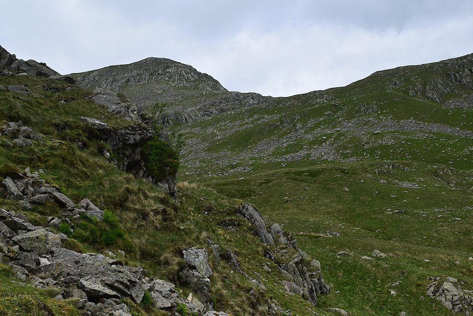
| St. Sunday Crag from the gate. This is the start of the Elmhow zig-zag path which rises to the col between Birks and St. Sunday Crag. Once a popular route to the summit of St. Sunday Crag, it is now difficult to trace on the ground |
 |
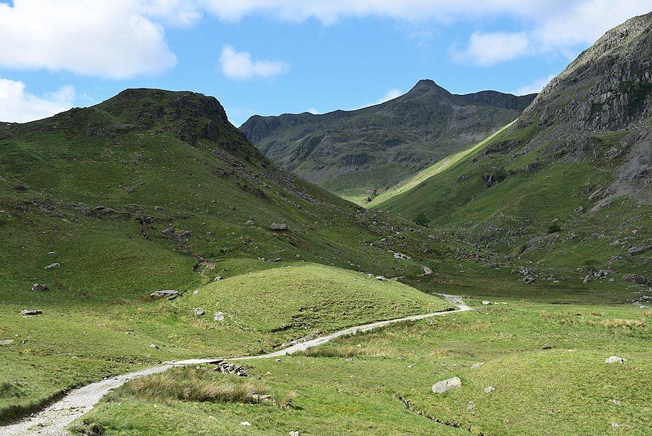
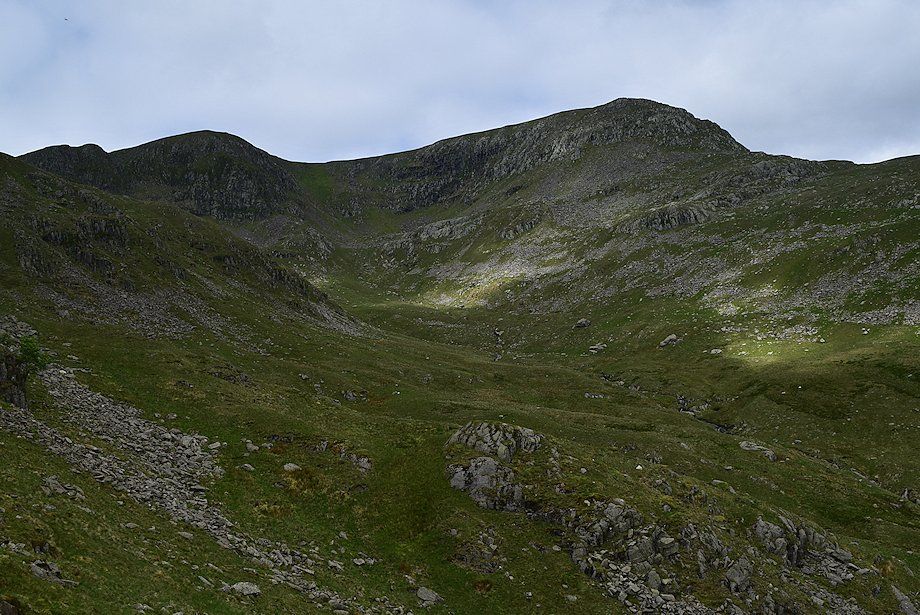
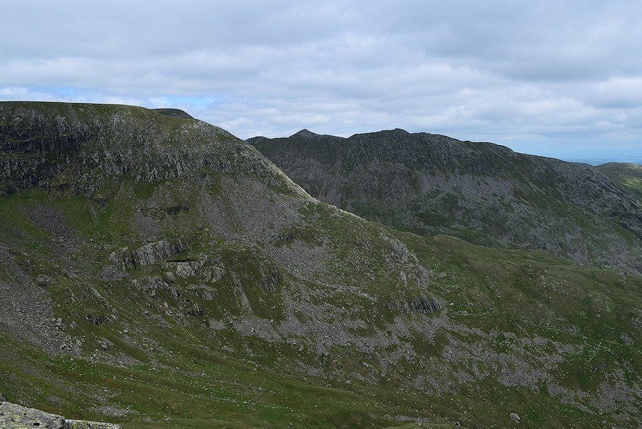
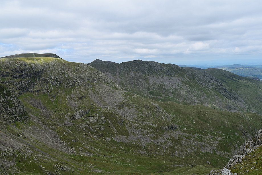
| Dollywaggon Pike and Nethermost Pike from the gate; the bridleway continues on to pass above Crossing Plantation |
 |
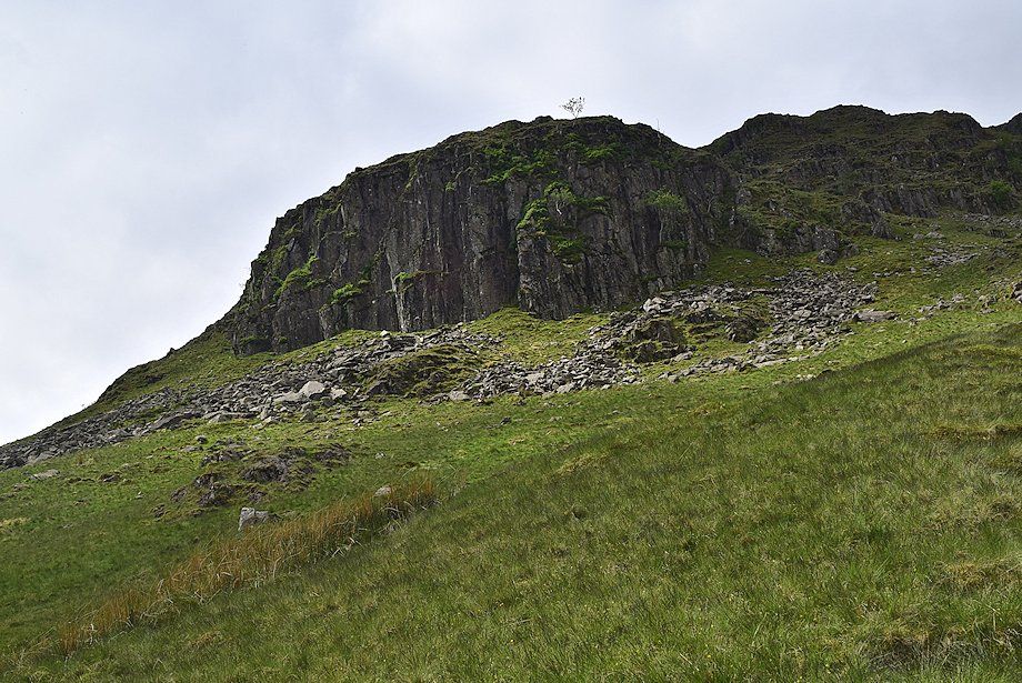
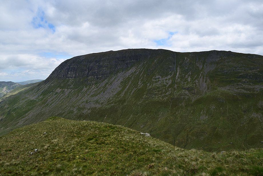
| Tarn Crag and Falcon Crag from Crossing Plantation |
 |
| Eagle Crag and Nethermost Pike from Crossing Plantation |
 |
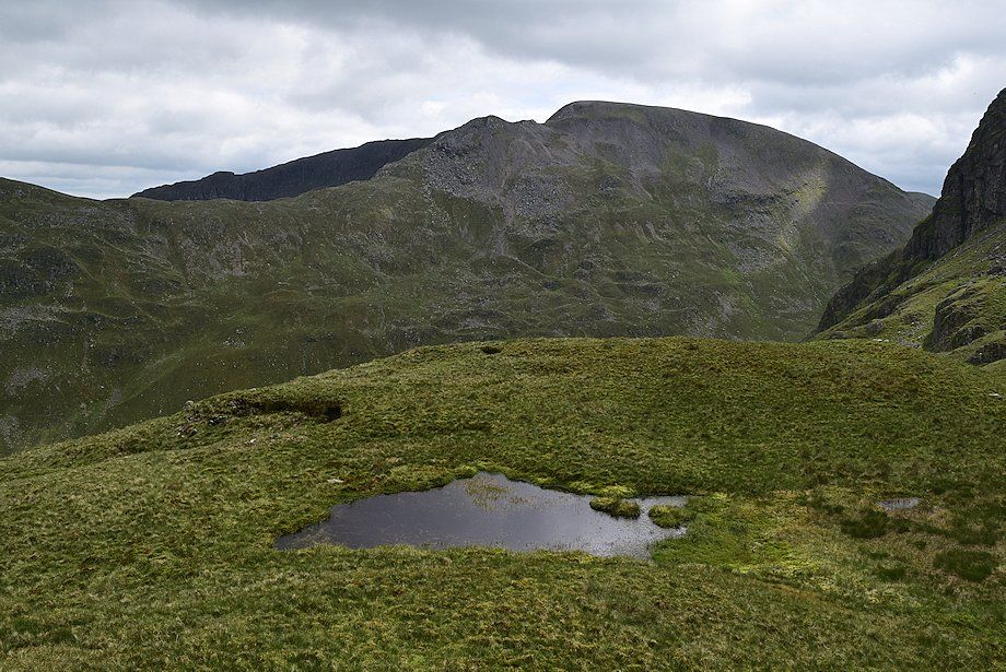
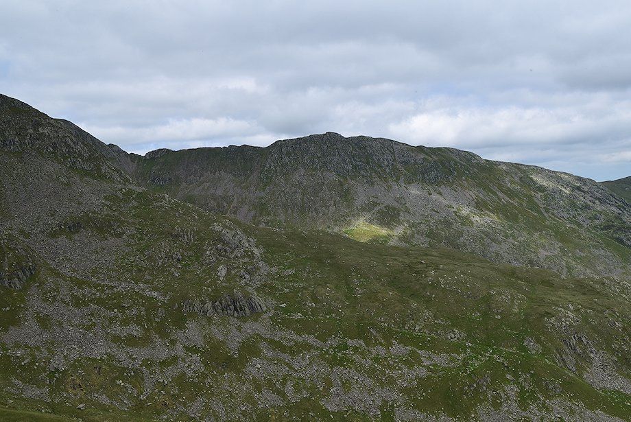
| Dollywagon Pike from Crossing Plantation |
 |
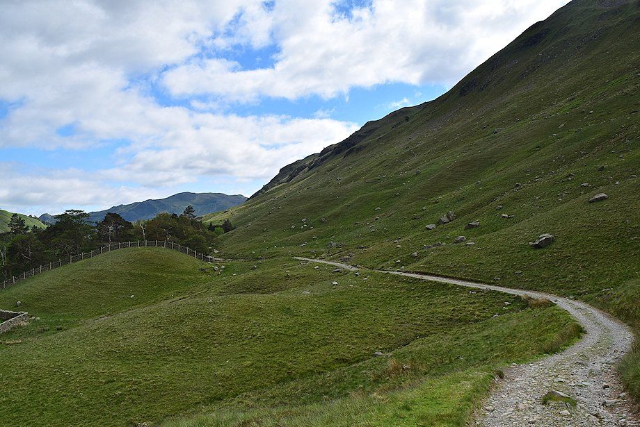
| Beyond Crossing Plantation the bridleway descends slightly before resuming its climb to Grisedale Tarn |
 |
| Looking back to Crossing Plantation |
 |
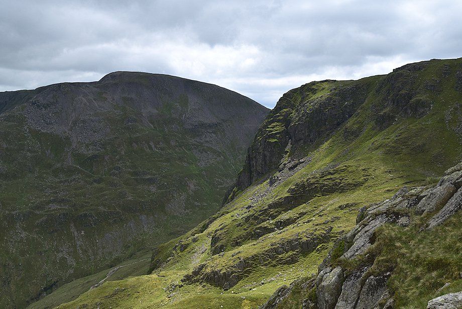
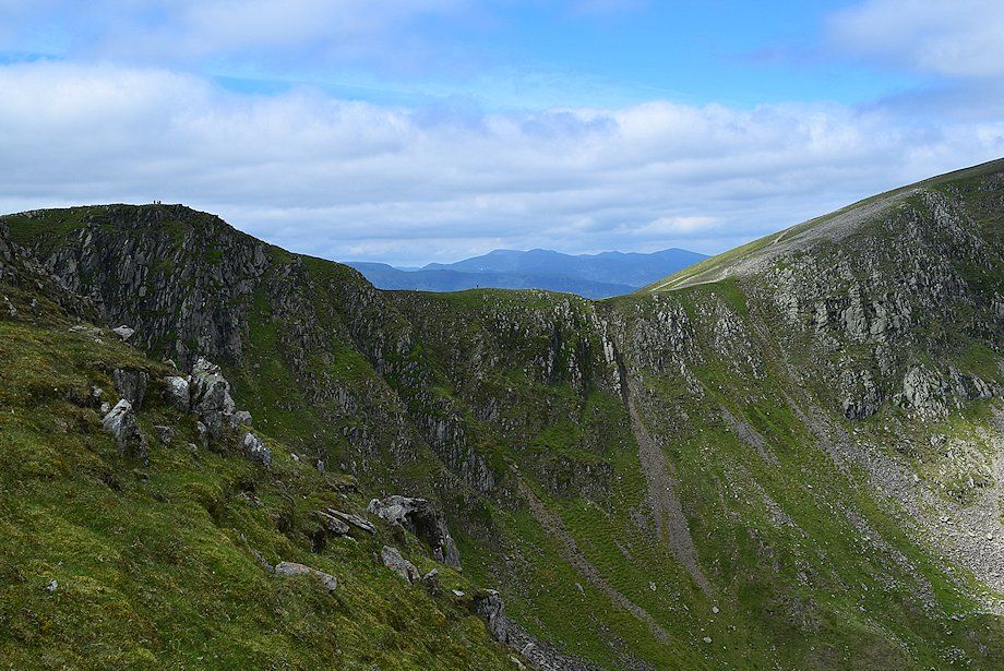
| Looking across to Eagle Crag with Nethermost Cove on the right |
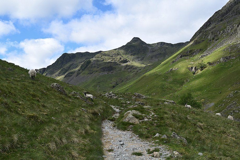 |
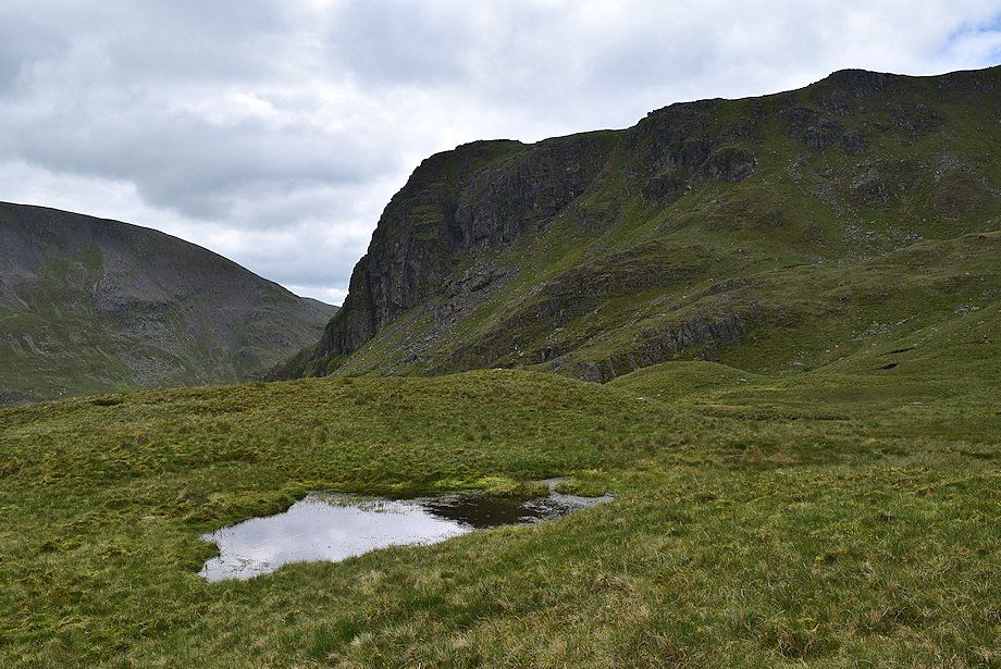
| Falcon Crag and The Tongue with Ruthwaite Cove on the right |
 |
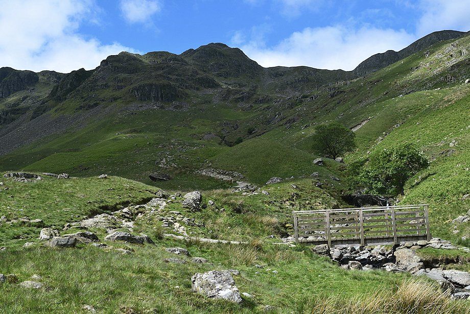
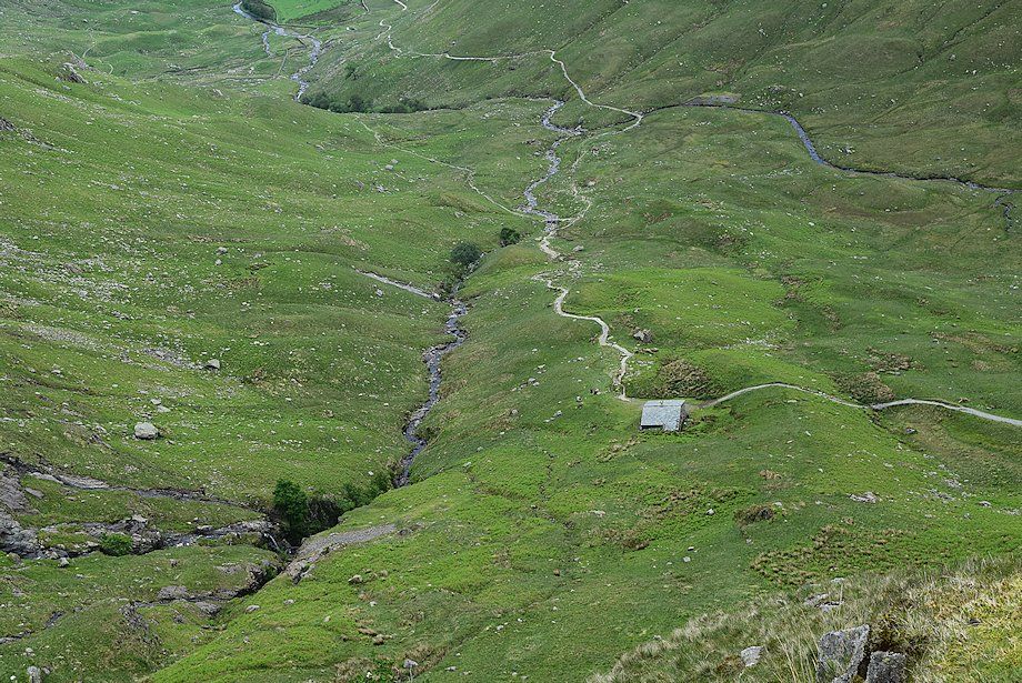
| The bridleway descends to a footbridge over Grisedale Beck and rises towards Ruthwaite Lodge which can be seen slightly left of centre |
 |
| The footbridge over Grisedale Beck |
 |
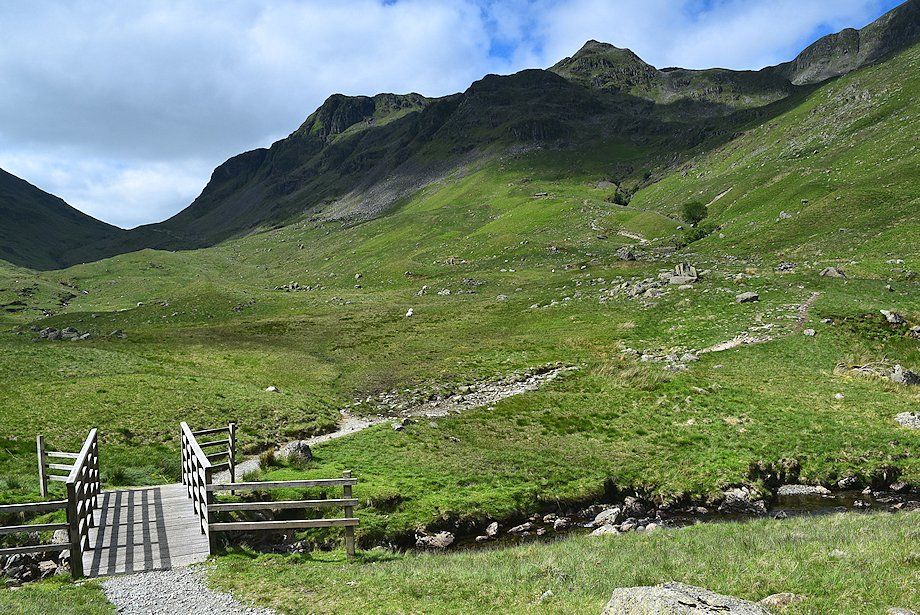
| The bridleway joins the path which runs along the north side of the valley where it crosses a footbridge over Ruthwaite Beck |
 |
| Cofa Pike and Fairfield from the footbridge over Ruthwaite Beck |
 |
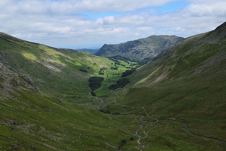
| Looking back along the valley from the footbridge over Ruthwaite Beck |
 |
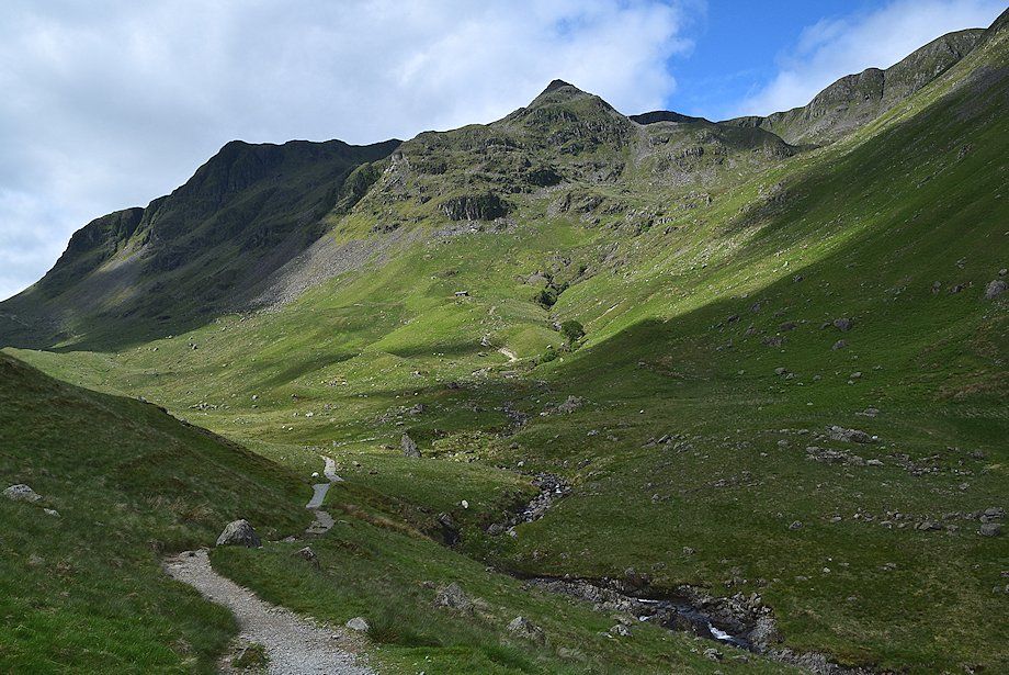
| The Tongue from the bridleway leading up to Ruthwaite Lodge |
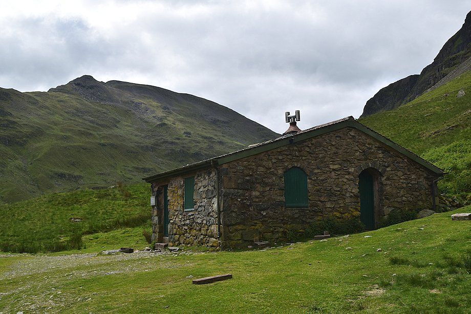 |
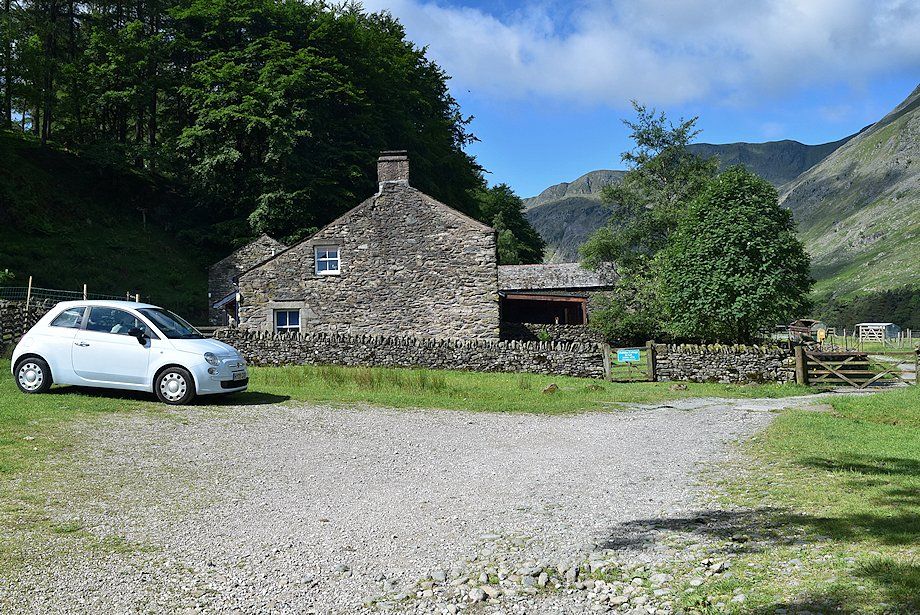
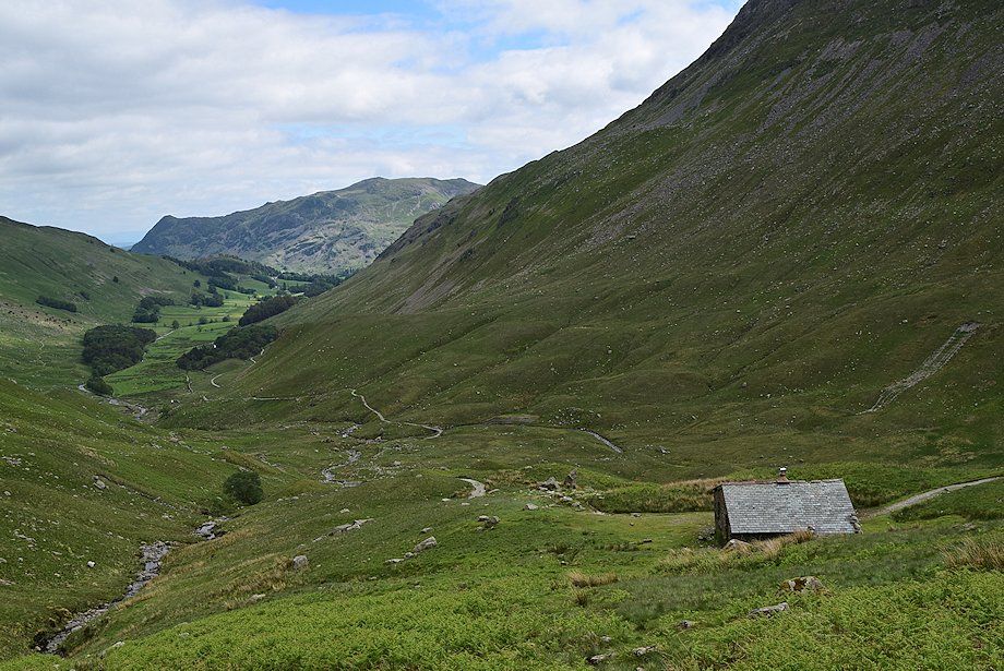
| Ruthwaite Lodge |
 |
| Above Ruthwaite Lodge a faint path climbs the open slopes to the left of Ruthwaite Beck. It's worthwhile making a short diversion to visit the old Ruthwaite Lodge mine adits near the beck which AW noted on his diagram of this ascent |
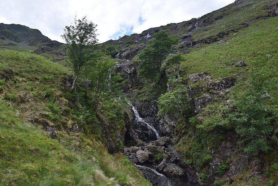 |
| Ruthwaite Beck cascades |
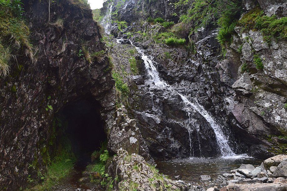 |
| Mine adit and cascades, Ruthwaite Beck Dollywaggon Pike - page 11 |
 |
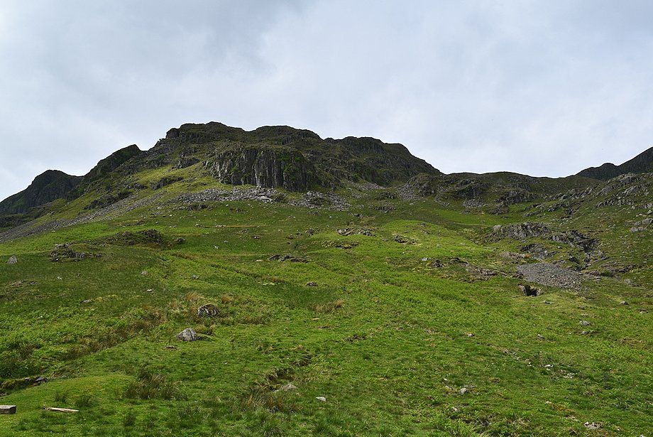
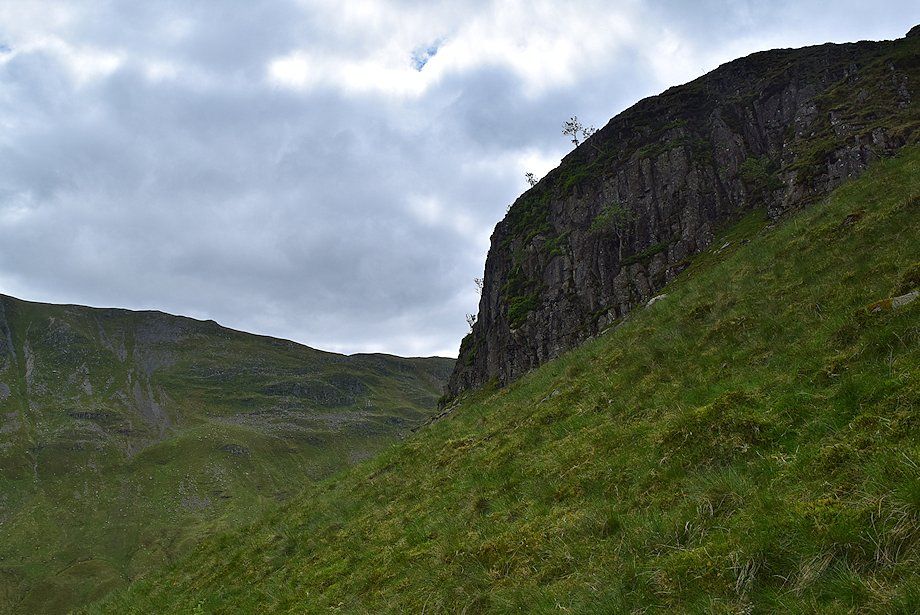
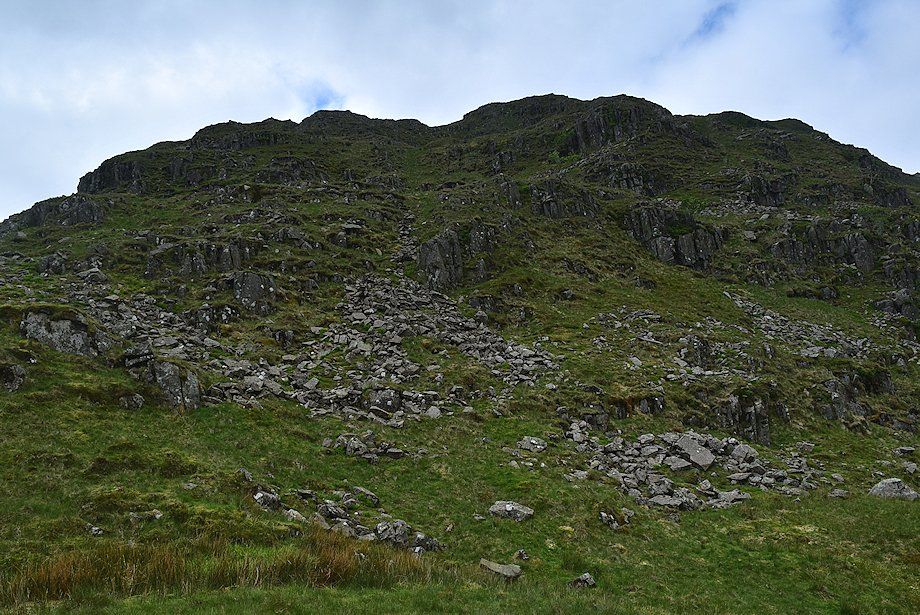
| Rejoining the path, looking up to Spout Crag with the lower buttress of The Tongue on the right. The easiest way to gain The Tongue ridge is by a grass ramp which slants up between Spout Crag and the lower buttress |
 |
| Looking back to Ruthwaite Lodge |
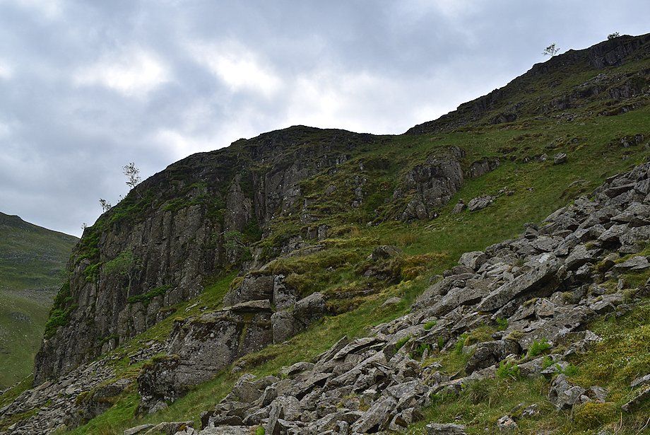 |
| The objective is to reach the narrow col between Spout Crag and the lower buttress |
 |
| Spout Crag from the climb to the col |
 |
| Looking back towards the east ridge of Nethermost Pike from the climb to the col |
 |
| Looking down on Ruthwaite Lodge from the top of Spout Crag |
 |
| Grisedale from the top of Spout Crag |
 |
| Cofa Pike and Fairfield from the top of Spout Crag |
 |
| High Crag and Nethermost Pike across Ruthwaite Cove from the top of Spout Crag |
 |
| From the top of Spout Crag the route continues up a shallow gully between the broken crags of the lower buttress. The boulders at the foot of the gully can be avoided on the left. The gully steepens as it nears the top of the lower buttress |
 |
| The summit of Helvellyn and Striding Edge come into view over the east ridge of Nethermost Pike on the climb to the top of the lower buttress |
 |
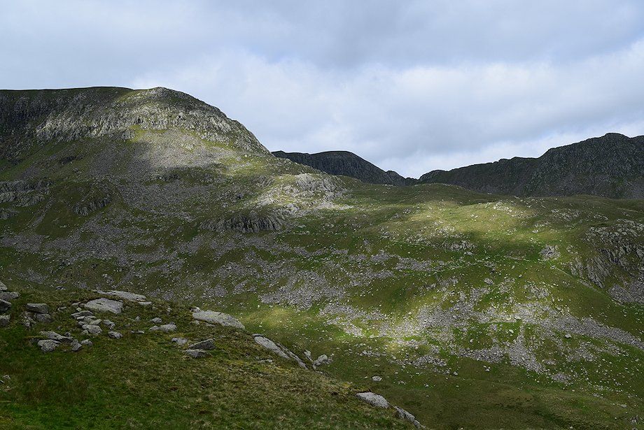
| Fairfield across Tarn Crag and Falcon Crag from the climb to the top of the lower buttress |
 |
| From the top of the lower buttress the path trends left to reach a level shoulder below the upper ridge of The Tongue which overlooks Cock Cove |
 |
| St. Sunday Crag from the level shoulder |
 |
| Falcon Crag across Cock Cove from the level shoulder |
 |
| Cofa Pike and Fairfield from the level shoulder |
 |
| From the level shoulder the path initially keeps to the left of The Tongue's crest, threading its way between areas of scree |
 |
| Looking back along the route of ascent |
 |
| Looking over towards Striding Edge |
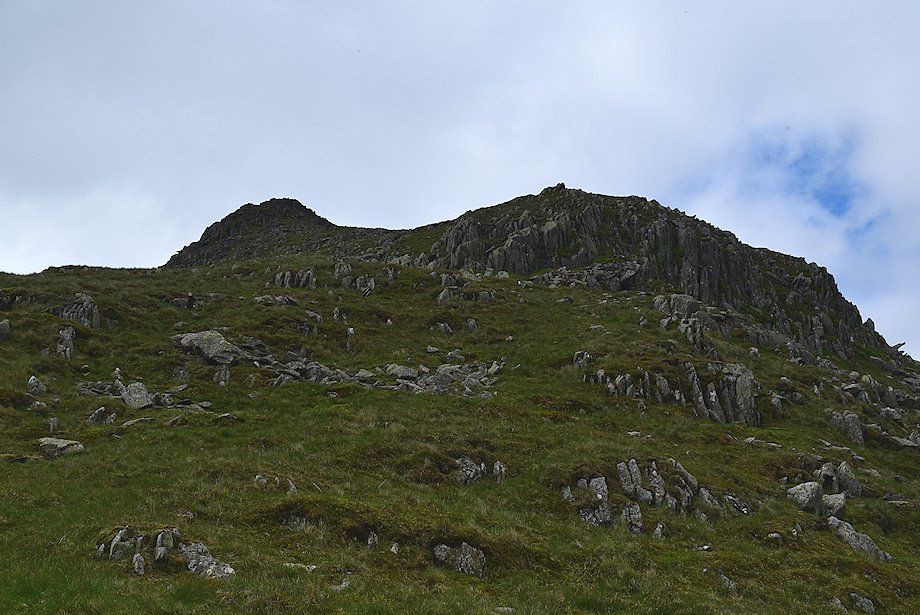 |
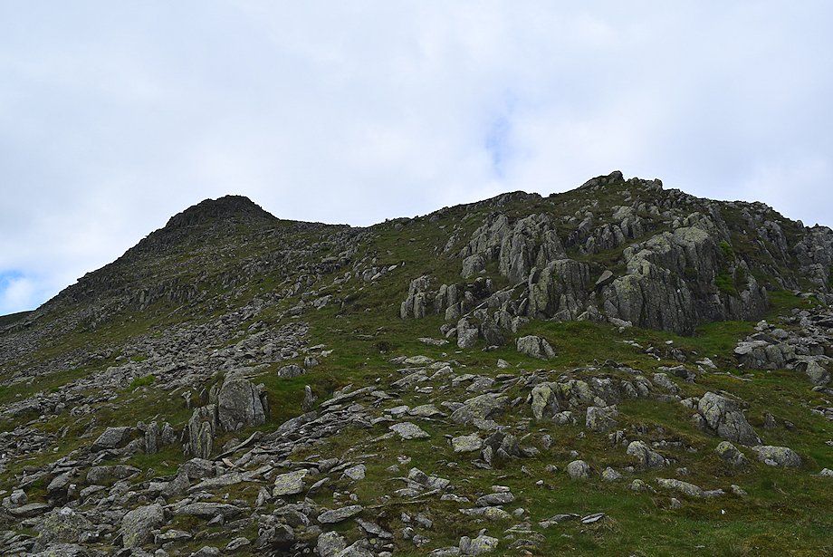
| The upper part of The Tongue ridge |
 |
| Looking over towards Fairfield across Falcon Crag |
 |
| The approach to the crest of the ridge |
 |
| The crest of the ridge |
 |
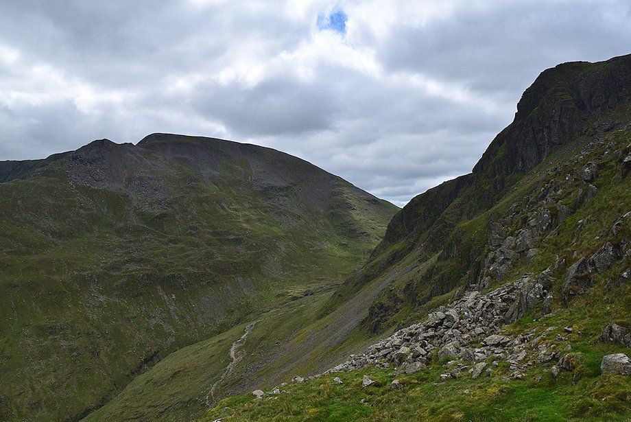
| Looking over towards High Crag across the head of Ruthwaite Cove |
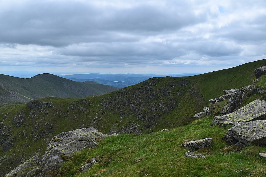 |
| Esthwaite Water and the lower part of Windermere come into view above the escarpment of Cock Cove with Great Rigg and Heron Pike on the left |
 |
| Fairfield across the top of Falcon Crag |
 |
| The upper part of The Tongue ridge |
 |
| Looking back along the route of ascent |
 |
| Looking across Ruthwaite Cove, Hard Tarn can be seen on its rock shelf on the middle left. The summit of Catstycam appears over Striding Edge |
 |
| A group of the North-Western Fells including Grasmoor, Eel Crag, Hopegill Head and Grisedale Pike appear over the head of Ruthwaite Cove |
 |
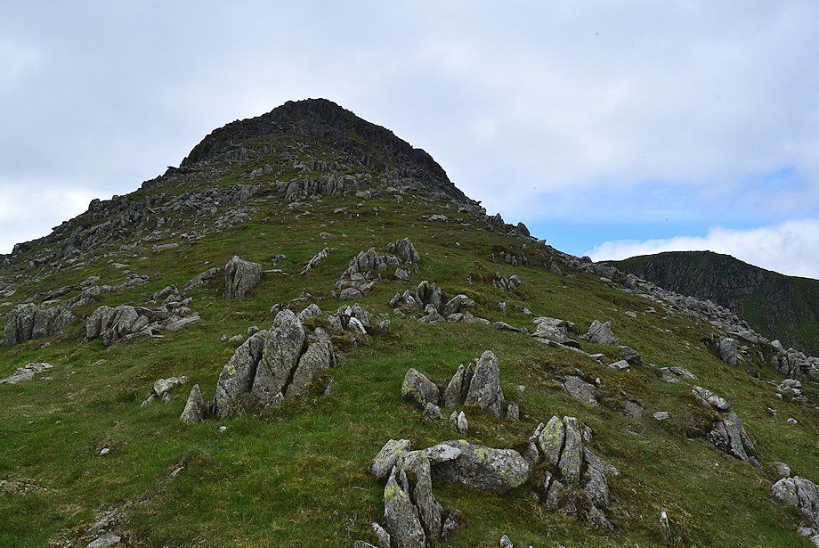
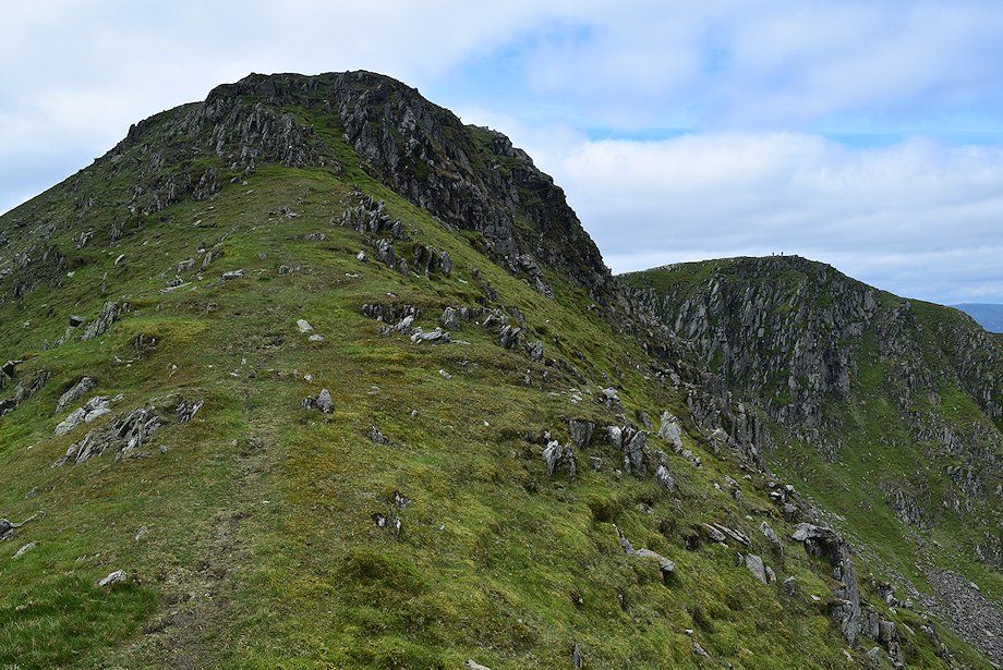
| Approaching the top of The Tongue |
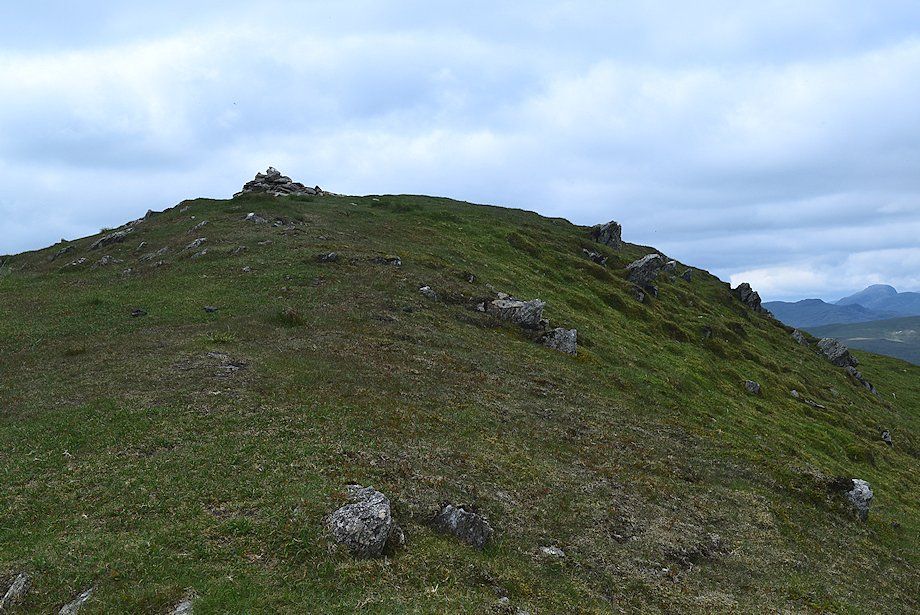 |
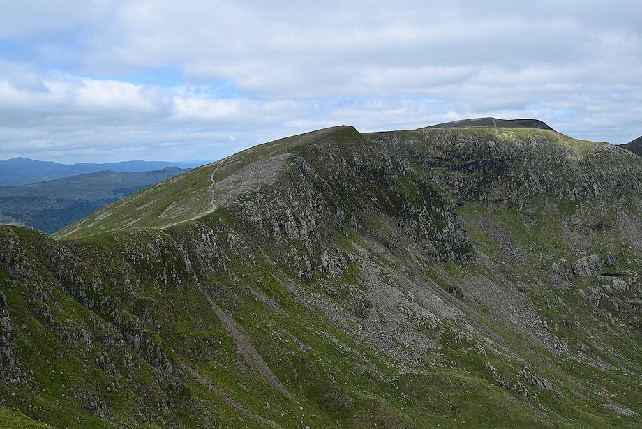
| The summit cairn comes into view |
 |
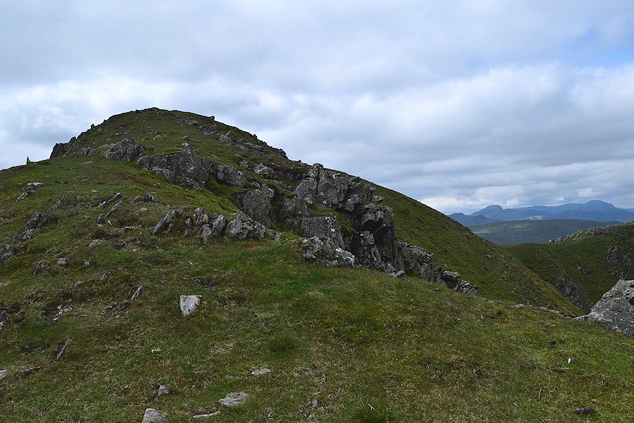
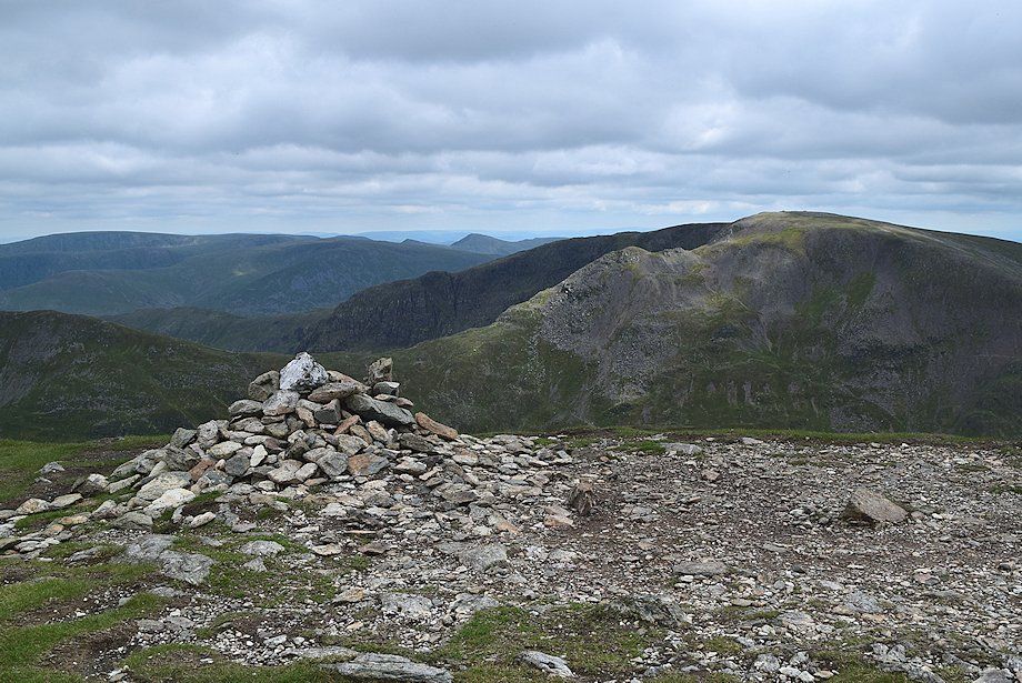
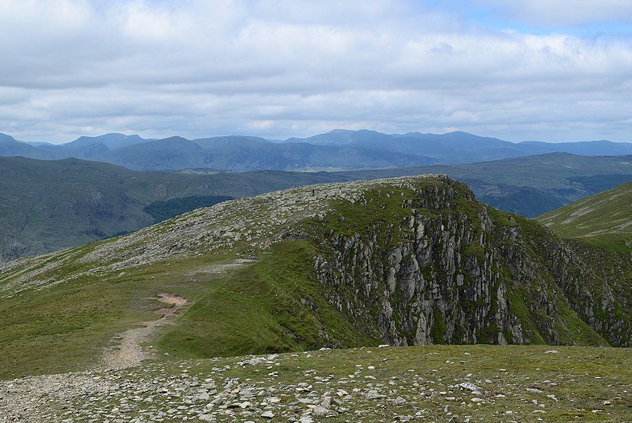
| A larger cairn lies thirty yards to the west of the summit |
 |
| St. Sunday Crag from the summit of Dollywaggon Pike |
 |
| Fairfield from the summit of Dollywaggon Pike, with High Street,Thornthwaite Crag, Froswick, Ill Crag and Yoke to the left |
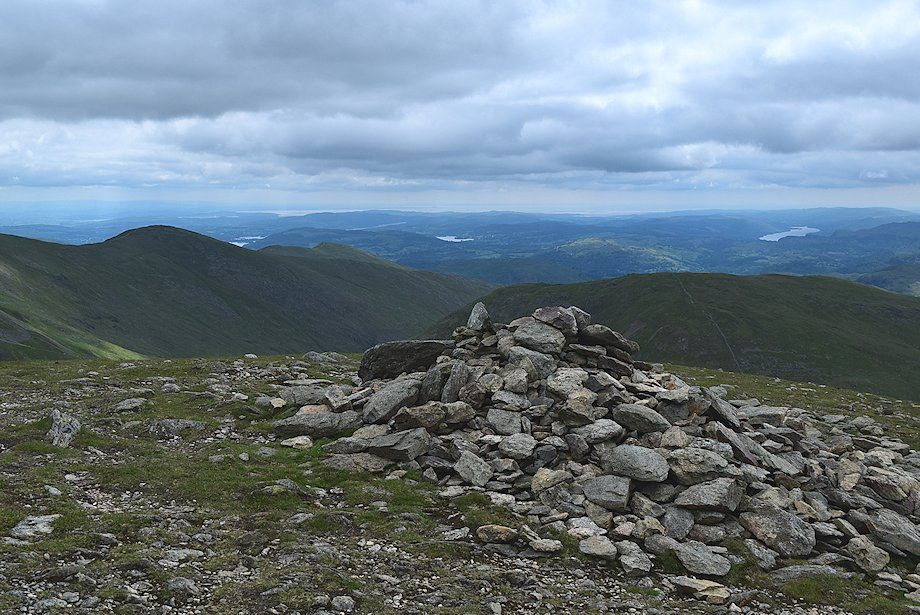 |
| Windermere, Esthwaite Water and Coniston Water from the west cairn |
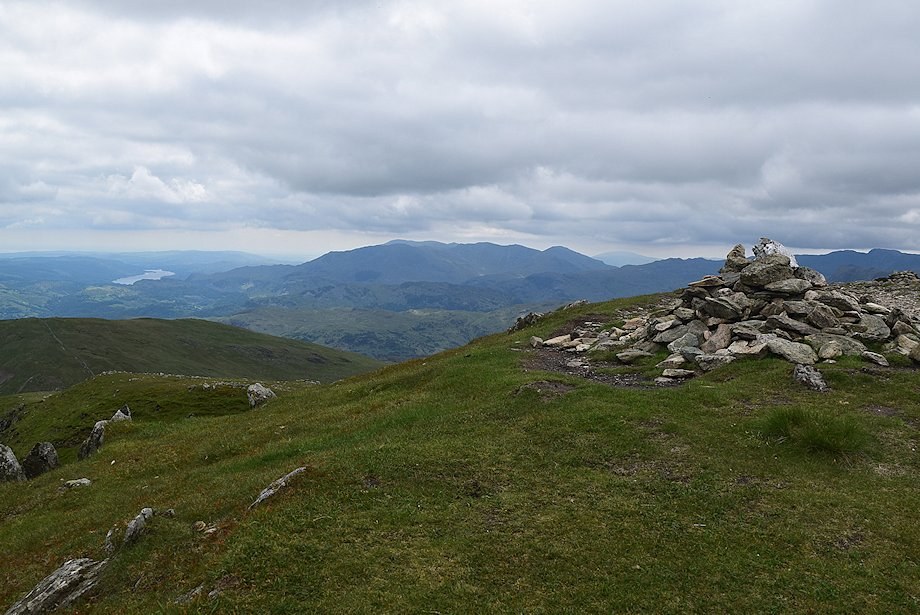 |
| The Coniston fells from the summit of Dollywaggon Pike |
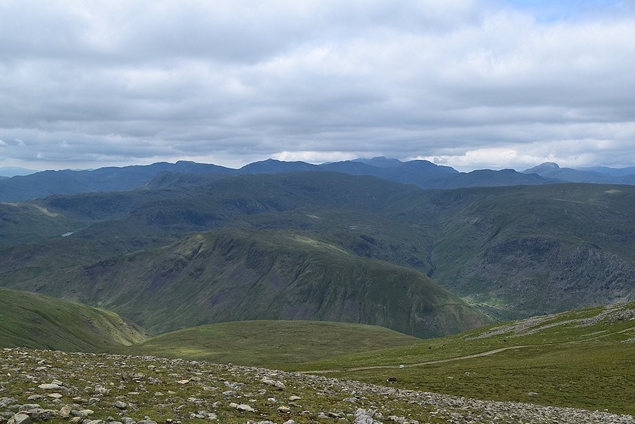 |
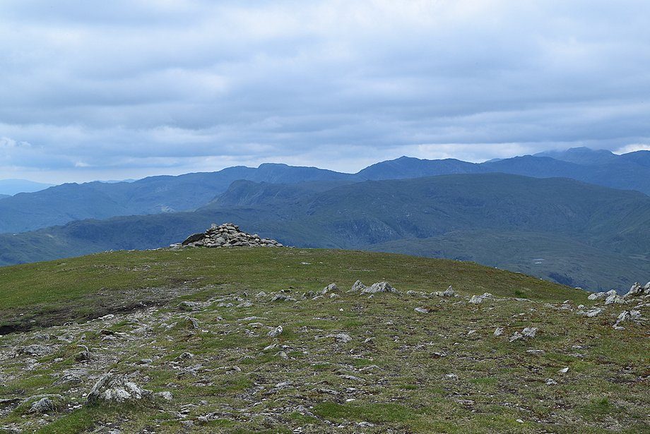
| Crinkle Crags, Bowfell, Esk Pike, Scafell. Scafell Pike, Great End, Glaramara, Great Gable and Green Gable on the horizon from the west cairn |
 |
| Looking west-northwest from the west cairn, High Crag, High Stile, Red Pike, Dale Head, Hindscarth, Robinson, Whiteless Pike, Grasmoor, Eel Crag, Hopegill Head, Grisedale Pike, Whinlatter, and Lord's Seat appear on the skyline |
 |
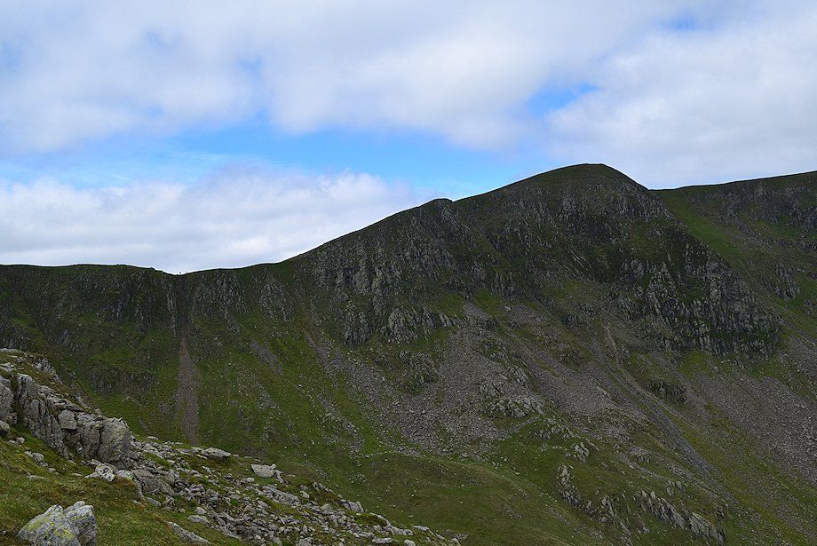
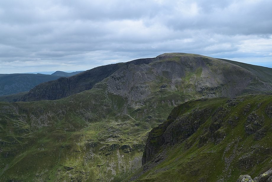
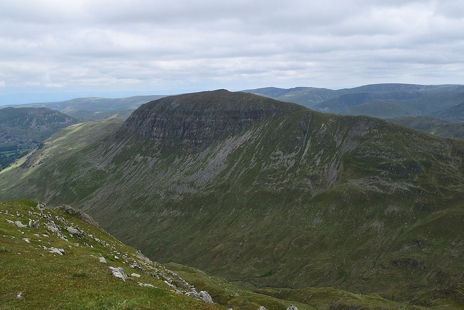
| Looking across Ruthwaite Cove from the summit of Dollywaggon Pike to High Crag, with the summit of Helvellyn appearing over Nethermost Pike |
 |
| Catstycam and Striding Edge across the east ridge of Nethermost Pike from the summit of Dollywaggon Pike |
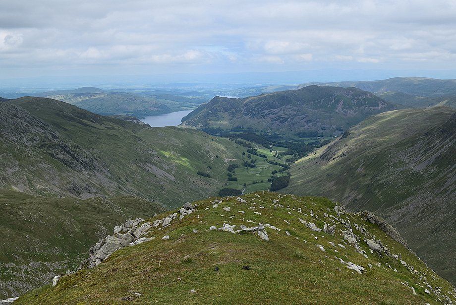 |
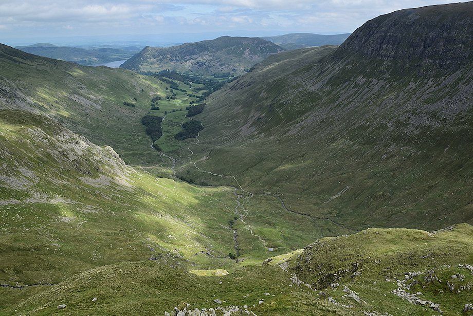
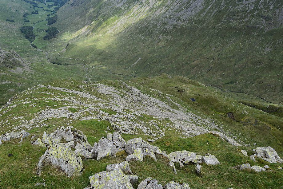
| Ullswater and Grisedale from the summit of Dollywaggon Pike |
|