
|
|
| Start - Seatoller NY 245 137 | Distance - 2.7 miles | Ascent - 2,170 feet | Time - 2 hours : 10 minutes |
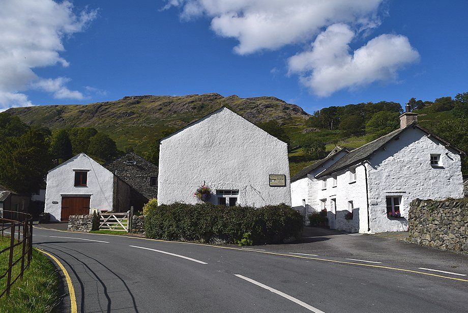 |
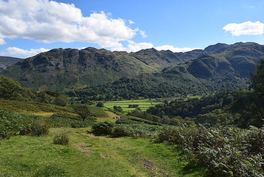
| The walk starts from Seatoller which has a regular bus service and a NT car park |
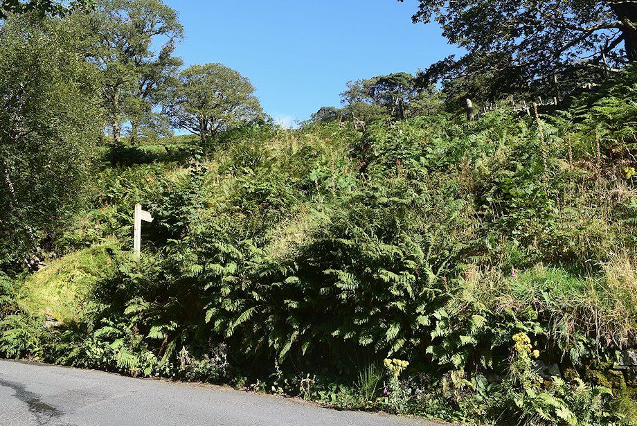 |
| Walk past Seatoller Farm to the first left hand bend on the road to Honister Hause where a fingerpost indicates the start of the path |
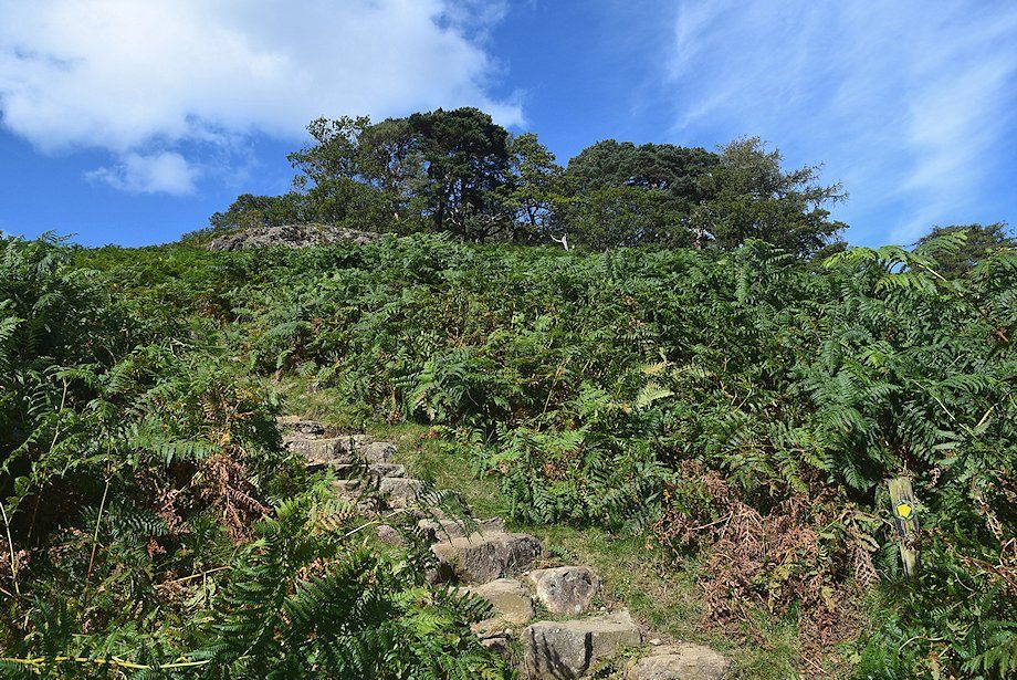 |
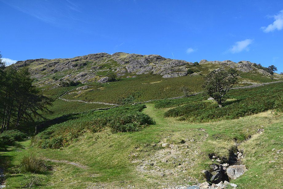
| The stone-pitched path rises steeply to join the course of the old toll road |
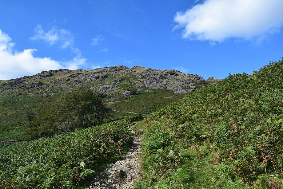 |
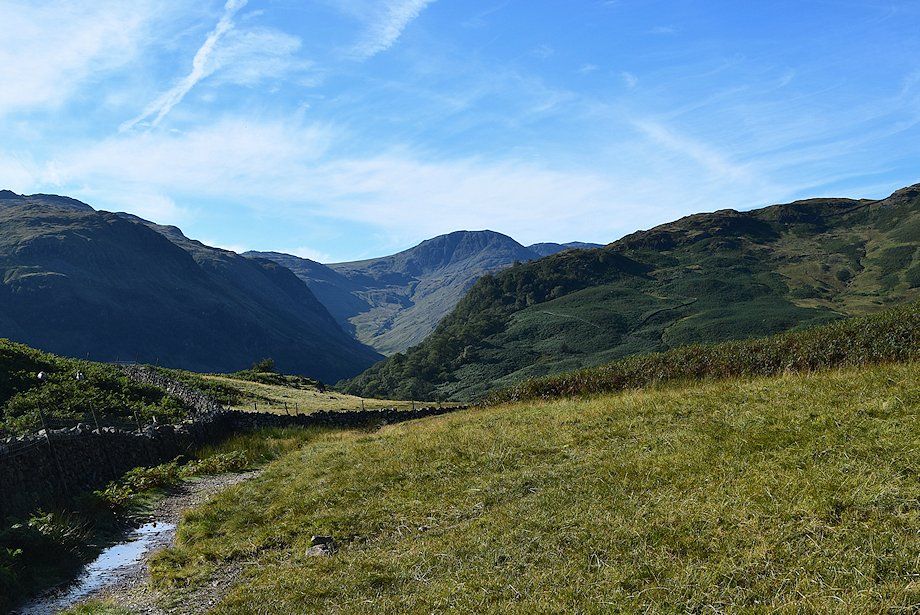
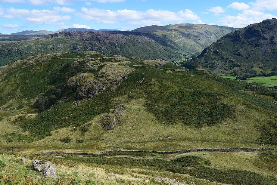
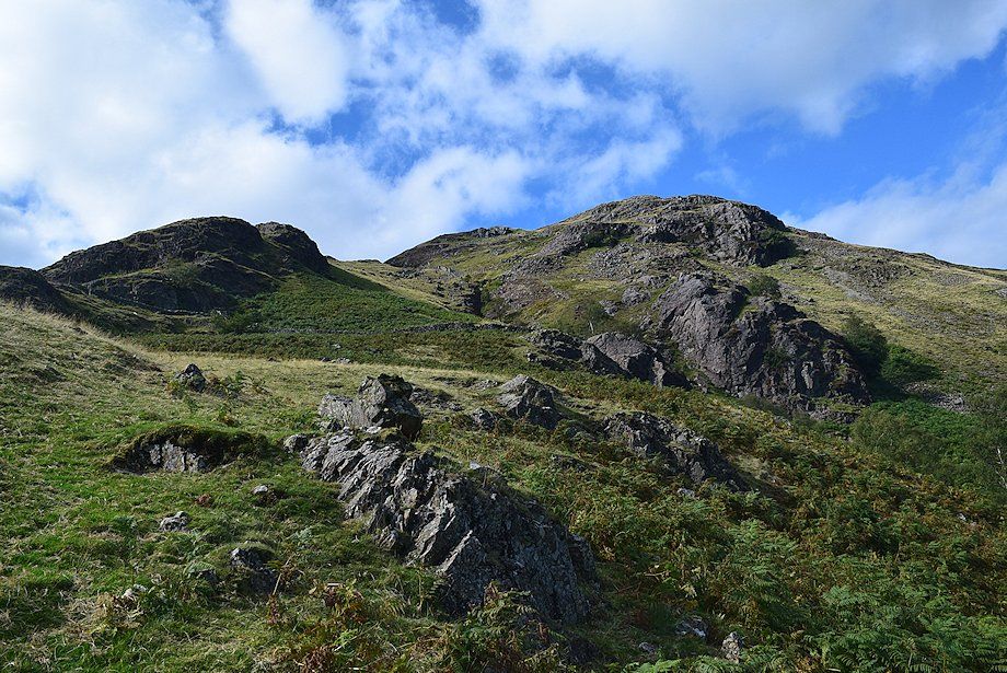
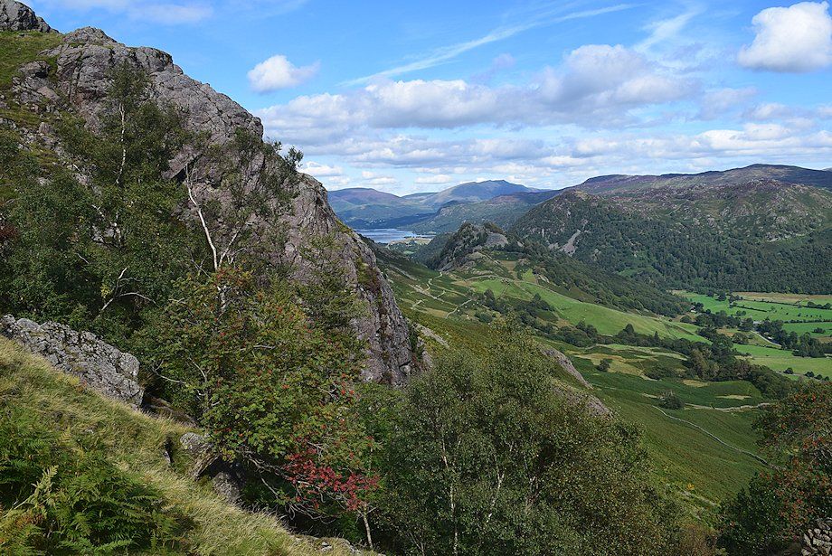
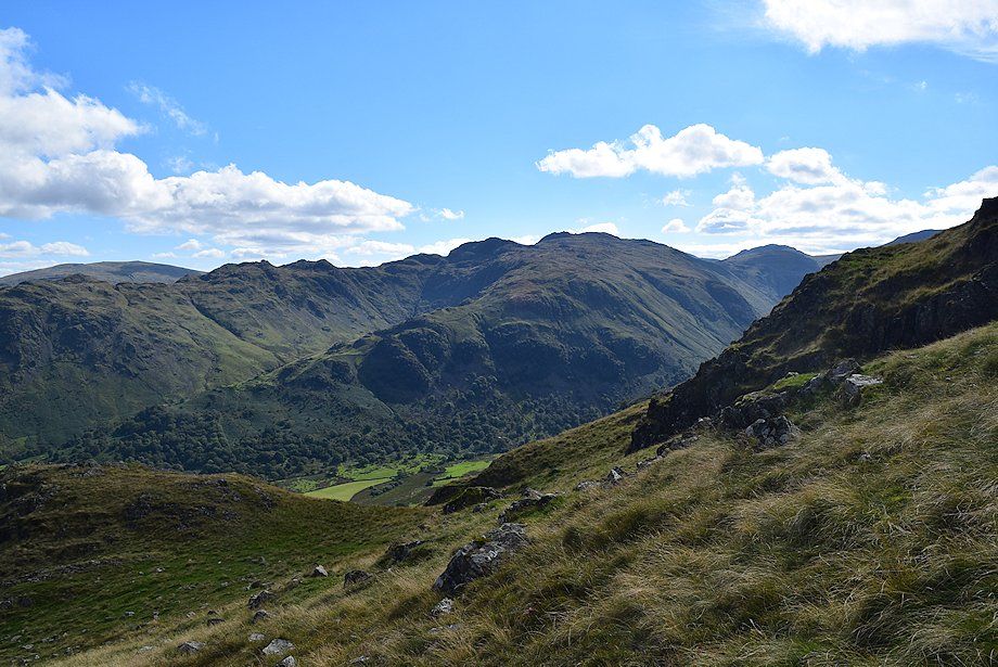
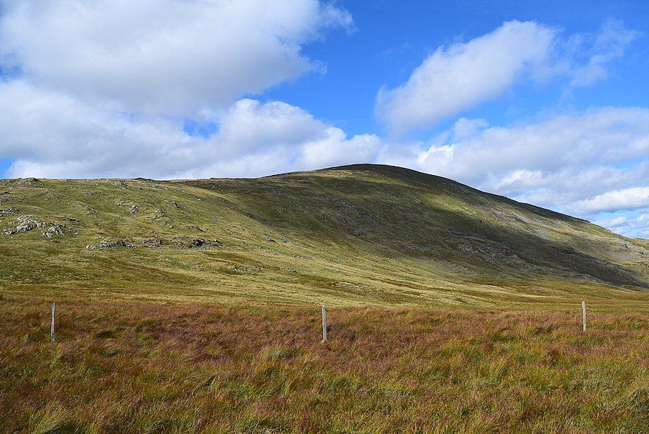
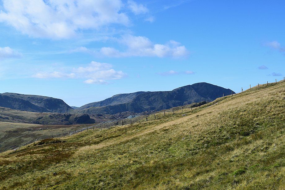
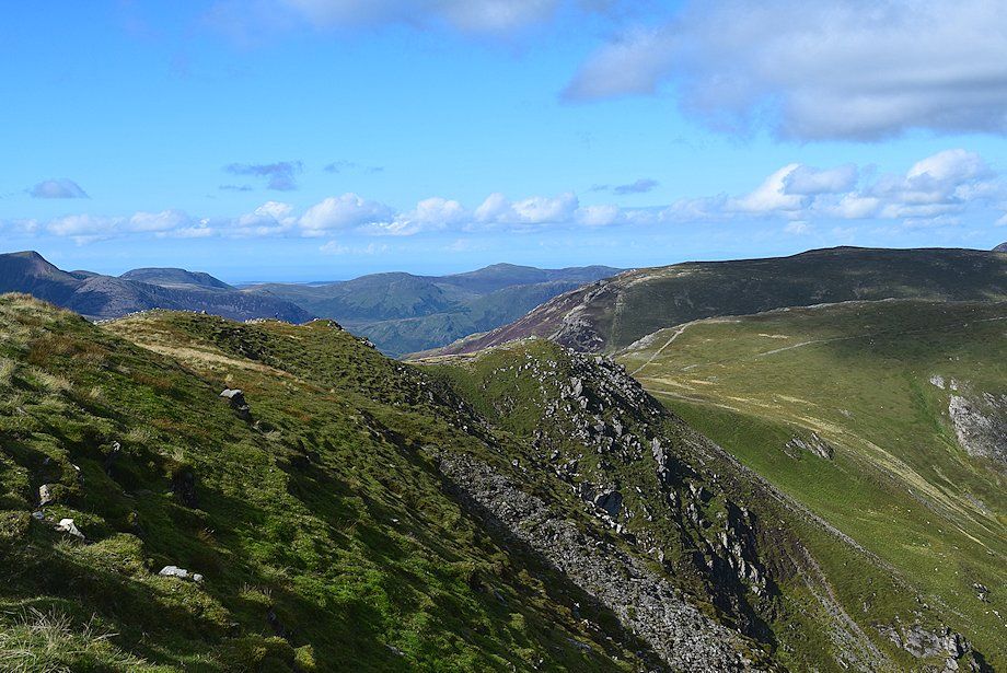
| The crags of High Scawdel come into view as the path appoaches the old toll road |
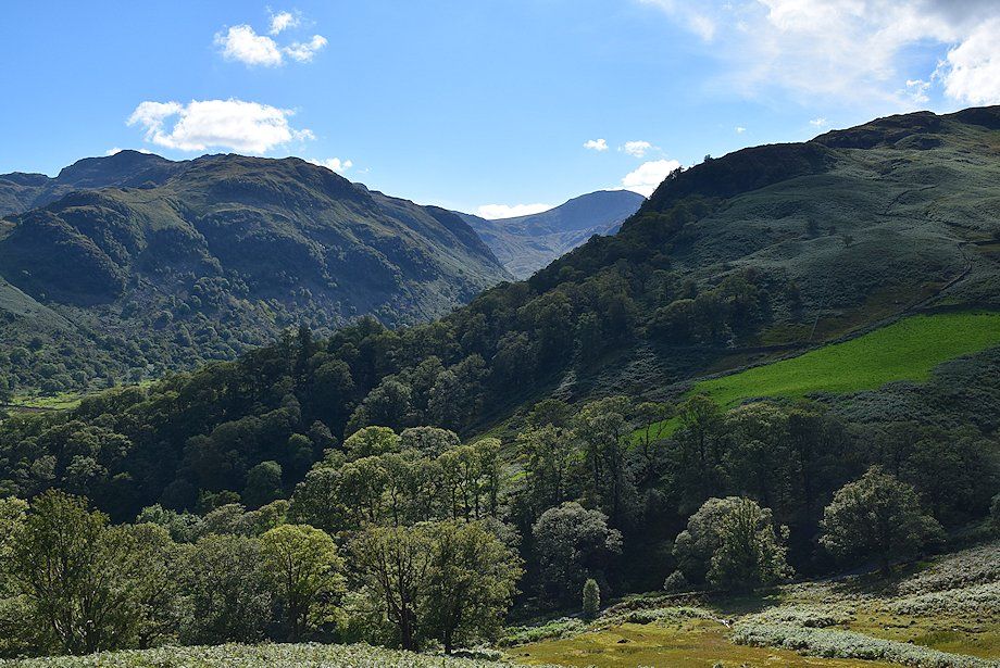 |
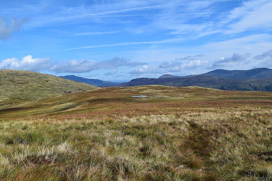
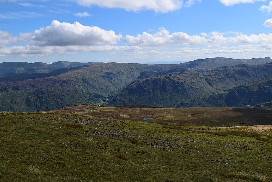
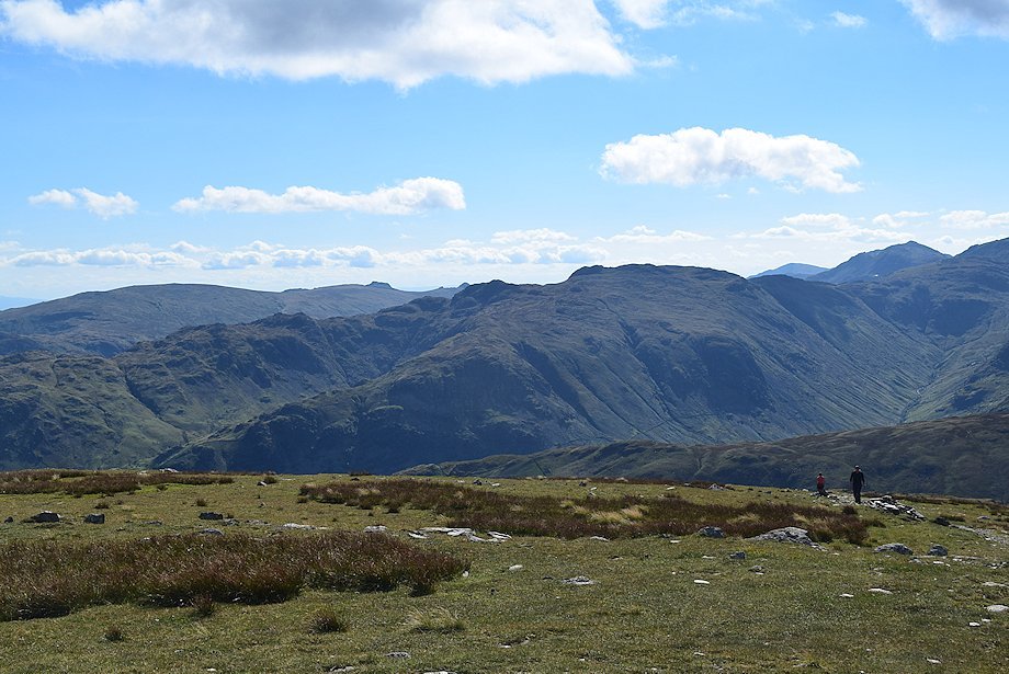
| Glaramara, Great End and Seatoller Fell from the old toll road |
 |
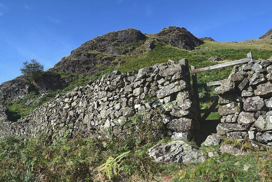
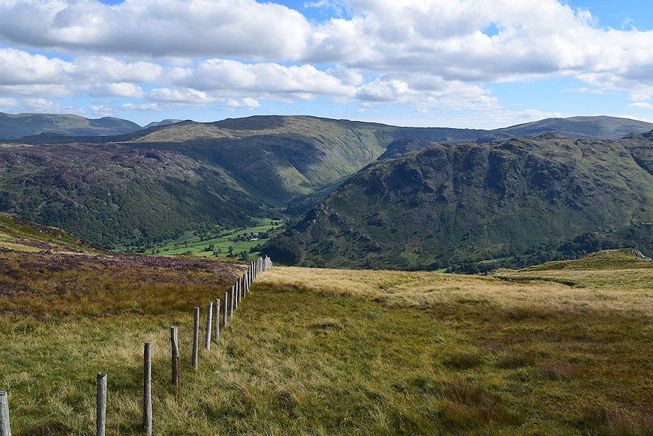
| The old toll road is only followed for a few yards before leaving it for a green path which leads up to a gate in the intake wall. Turn right through the gate and follow a bridleway which is part of an old quarry miners path which runs between Honister and Grange |
 |
| Looking towards Rosthwaite Fell and Glaramara from the gate in the intake wall |
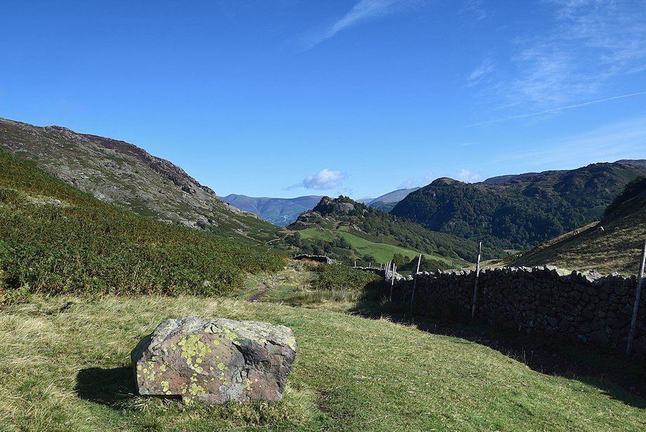 |
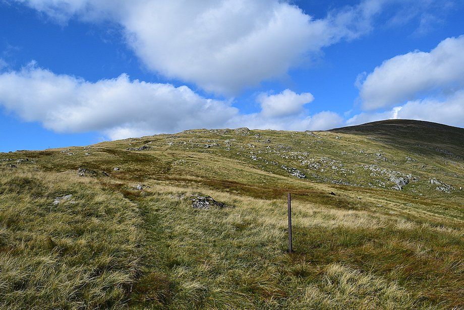
| The bridleway is only followed as far as a solitary boulder which is about 300 yards from the gate |
 |
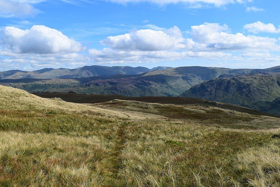
| Looking back towards Great End from the solitary boulder |
 |
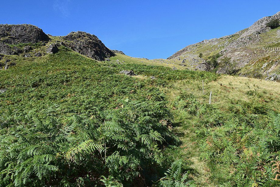
| Leave the bridleway and climb the steep slope to reach a level shoulder beside the crag on the left |
 |
| Looking over towards Blencathra from the climb to the shoulder |
 |
| Rosthwaite Cam and Glaramara from the climb to the shoulder |
 |
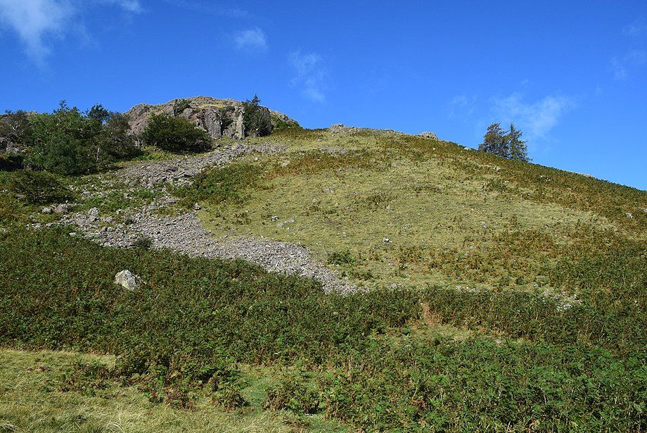
| Looking down on High Doat, the solitary boulder beside the bridleway can be seen on the lower right |
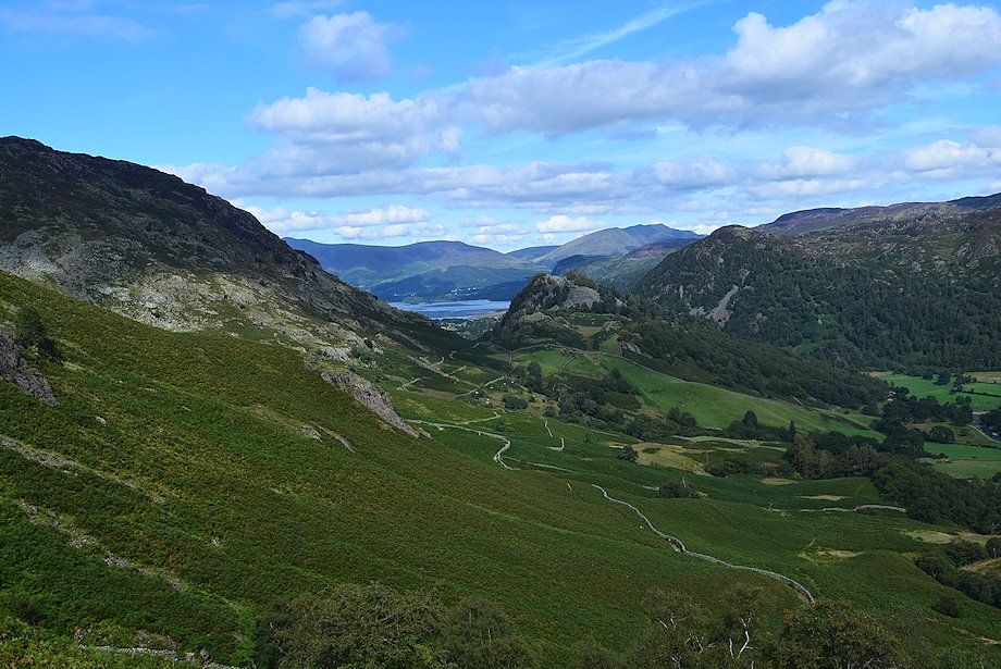 |
| Derwent Water from the level shoulder |
 |
| Rosthwaite Cam and Glaramara from the level shoulder |
 |
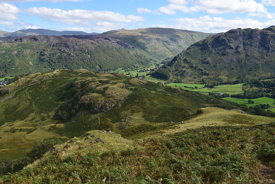
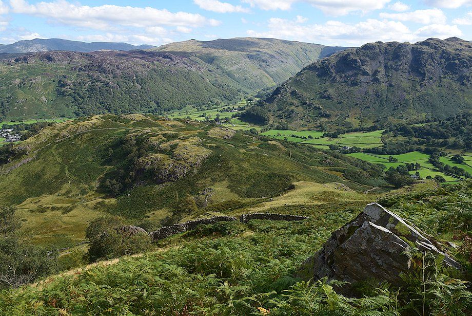
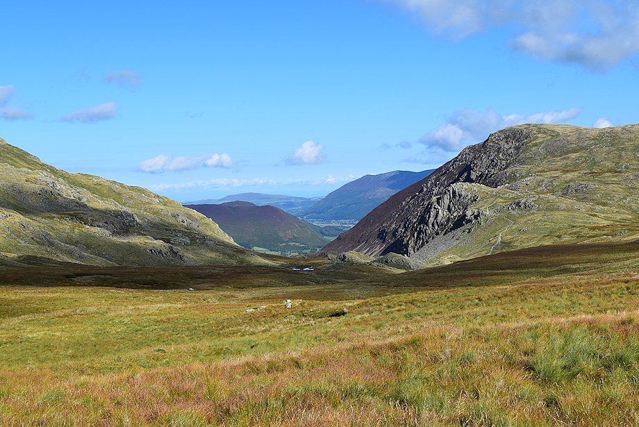
| Borrowdale from the level shoulder |
 |
| From the level shoulder a faint path leads up to handgate in a wall below the ravine of Scaleclose Gill |
 |
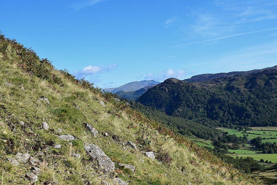
| Looking back from the climb to the wall |
 |
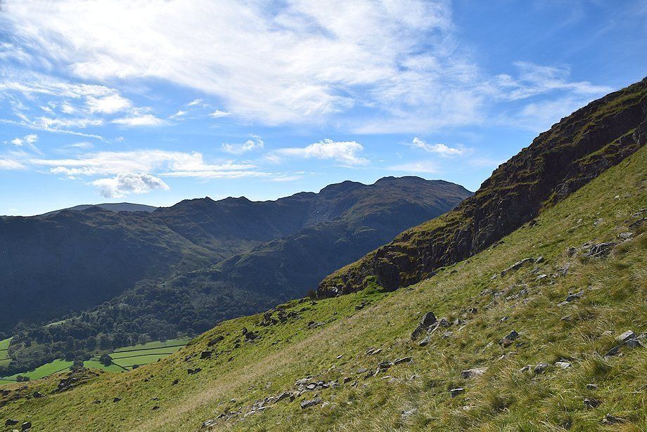
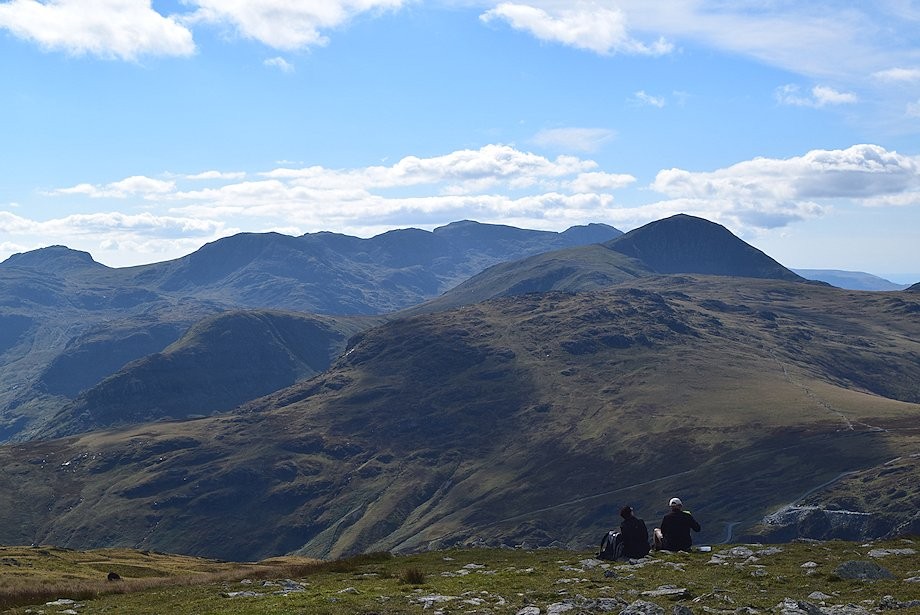
| Rosthwaite Fell, Rosthwaite Cam and Glaramara from the climb to the wall |
 |
| Looking over to Esk Pike, Great End, Scafell Pike Base Brown and Great Gable on the skyline from the climb to the wall |
 |
| The handgate in the wall |
 |
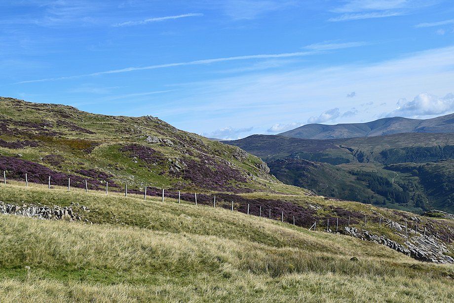
| Above the wall a path follows a line of old and decaying fence posts along the grassy southern side of Scaleclose Gill |
 |
| Looking back to the gate in the wall |
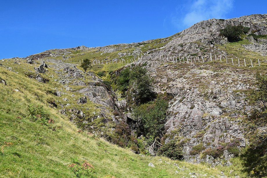 |
| The ravine of Scaleclose Gill. There are some attractive waterfalls in the ravine but after a long dry spell there's not much water flowing through it today. The better known Scaleclose Force is much further down the gill, below the northern slopes of High Doat |
 |
| Derwent Water across Scaleclose Ravine |
 |
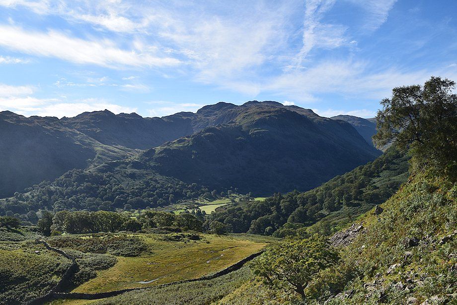
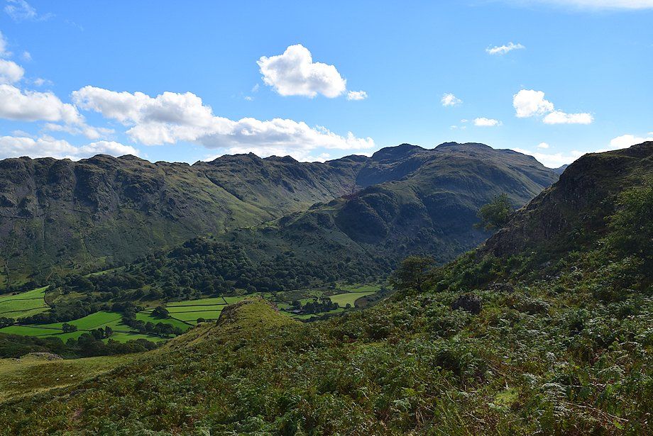
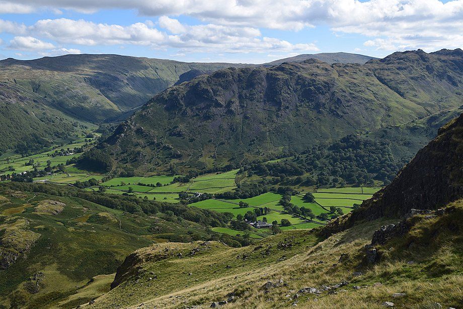
| Looking over towards Glaramara |
 |
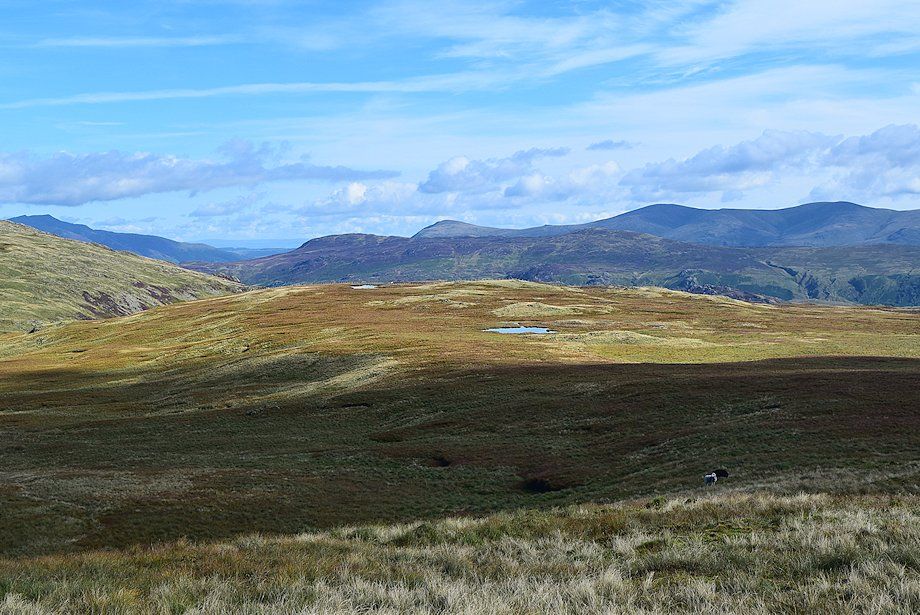
| Higher on the climb alongside Scaleclose Gill, looking back to Ullscarf and High Raise over Rosthwaite Fell |
 |
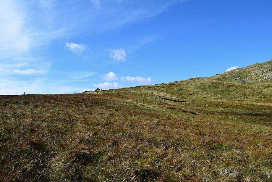
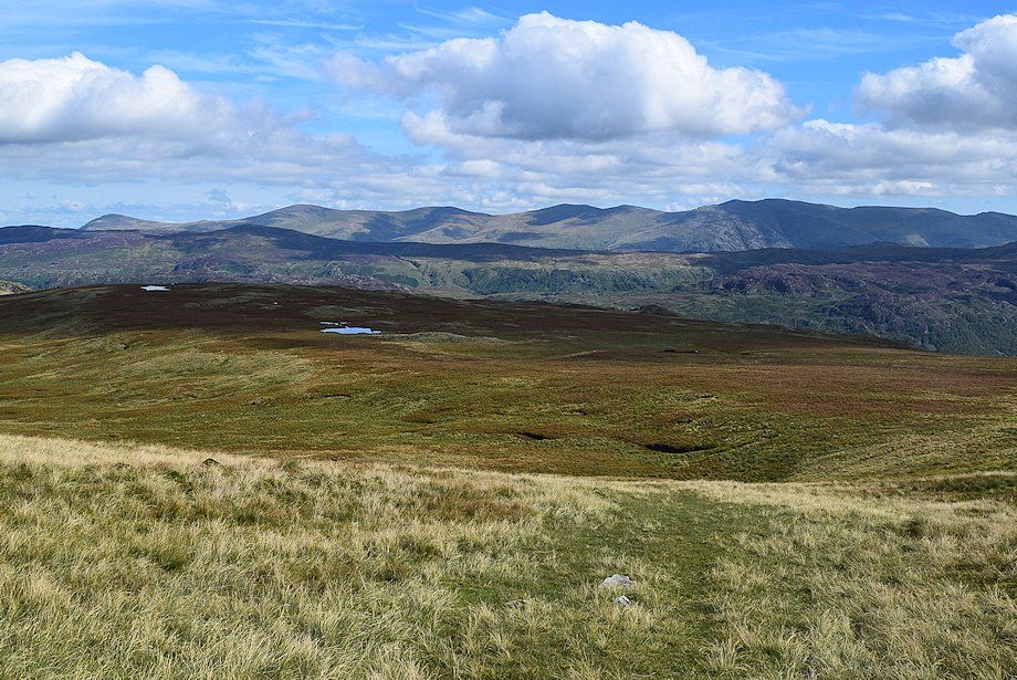
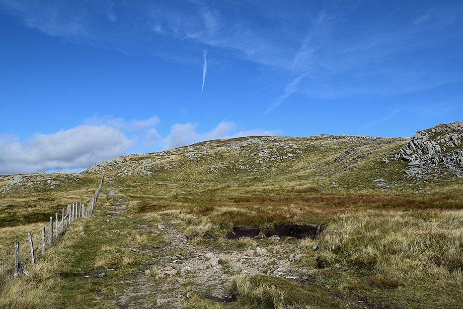
| Approaching the top of the gill which gradually merges into the broad upper south-east slopes of High Scawdel |
 |
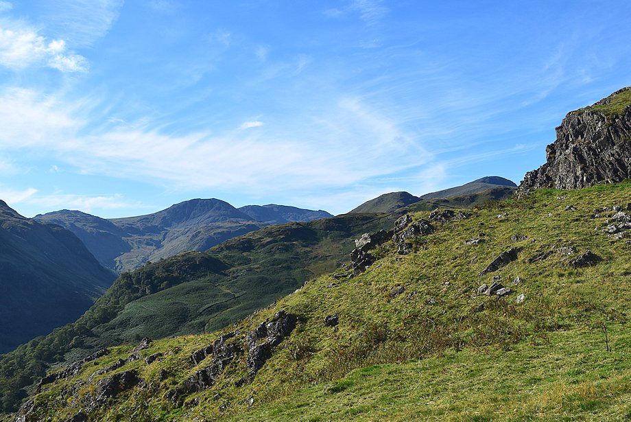
| High Raise, Glaramara and Esk Pike from near the top of Scaleclose Gill |
 |
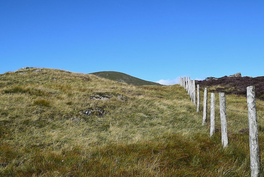
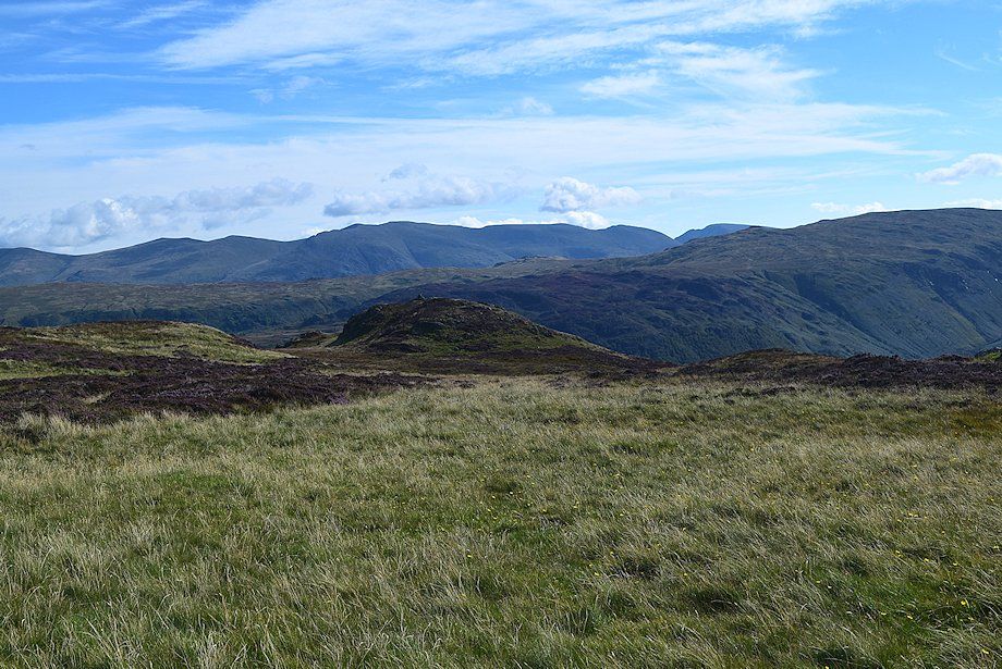
| Great Dodd and Stybarrow Dodd over the High Seat ~ High Tove ridge. AW described this Scaleclose Gill route to Dale Head as unfrequented and that the line of fence posts in poor visibilty are an infallible guide to the summit of Dale Head. But he produced his diagram of this ascent over 50 years ago and the fence posts can now only be followed as far as Launchy Tarn, near the highest point of the plateau. Their continuation to the summit of Dale Head has mostly disappeared |
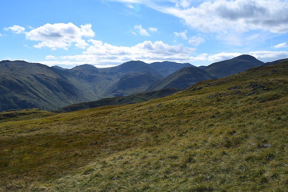 |
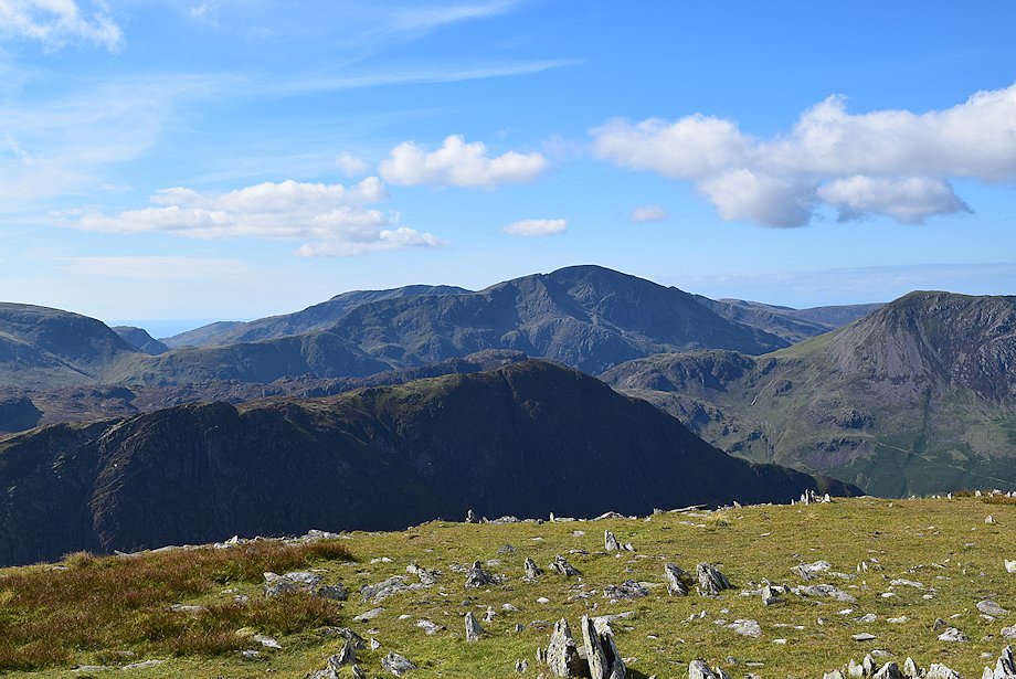
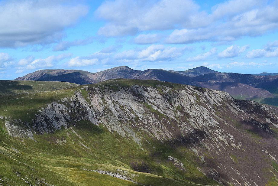
| Glaramara, Bowfell, Great End, Scafell Pike, Scafell and Great Gable from the top of Scaleclose Gill |
 |
| The summit of Dale Head comes into view for the first time |
 |
| Looking back, Nethermost Pike, Dollywaggon Pike and Fairfield on the left horizon with Ullscarf in the centre and High Raise on the right |
 |
| Still following the fence, but looking over it to the Helvellyn range, the cairned top in the centre foreground is a fine viewpoint |
 |
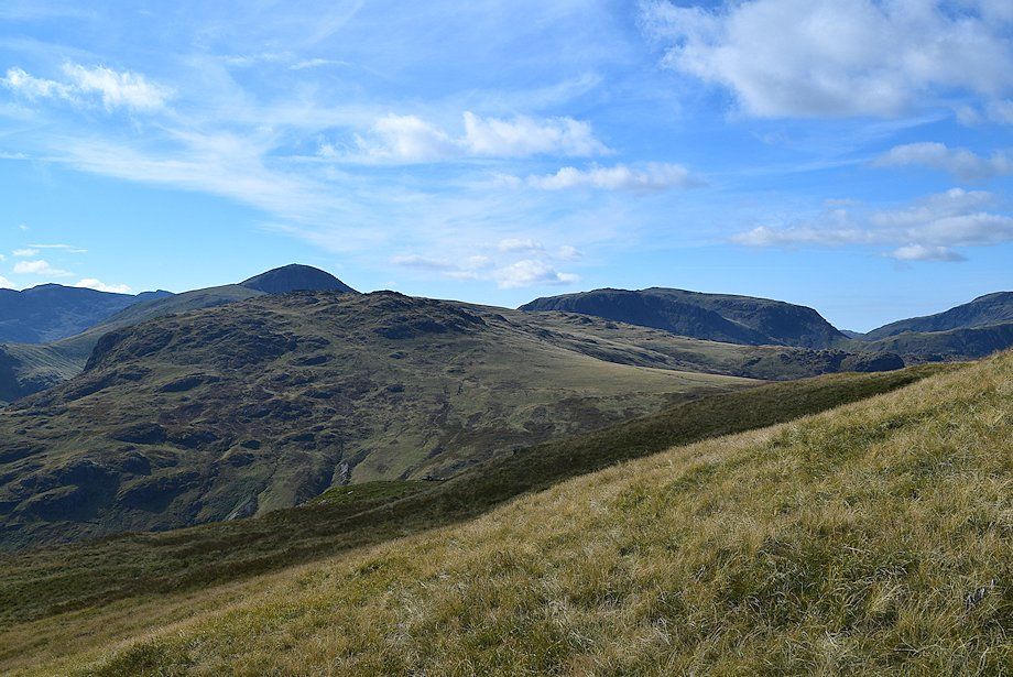
| The summit of Dale Head from the top of High Scawdel |
 |
| Looking over towards Blencathra with Bleaberry Fell on the right |
 |
| Time to leave the company of the fence where it makes an abrupt turn to run alongside Launchy Tarn |
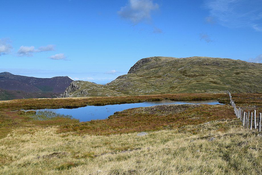 |
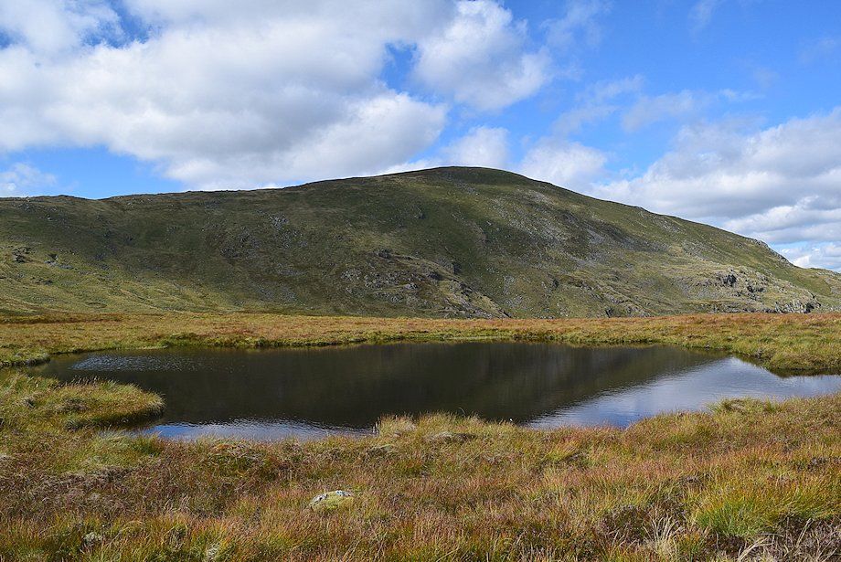
| Launchy Tarn and High Spy from the fence corner |
 |
| AW described the top of High Scawdel as a vast marsh, it's not that bad really! The objective is to reach the prominent rock tor on the centre left skyline, the areas of lighter vegetation are dry 'islands' which can be easily linked together to provide a relatively dry crossing while passing four shallow tarns on the way. Avoid following the line of the old fence which lies well to the right of the 'islands' as some of the old posts still survive rooted in bogs |
 |
| Glaramara, Bowfell, Esk Pike, Great End, the Scafell group and Great Gable from one of the 'islands' |
 |
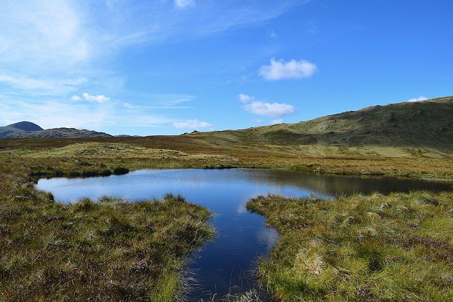
| High Spy across the first tarn |
 |
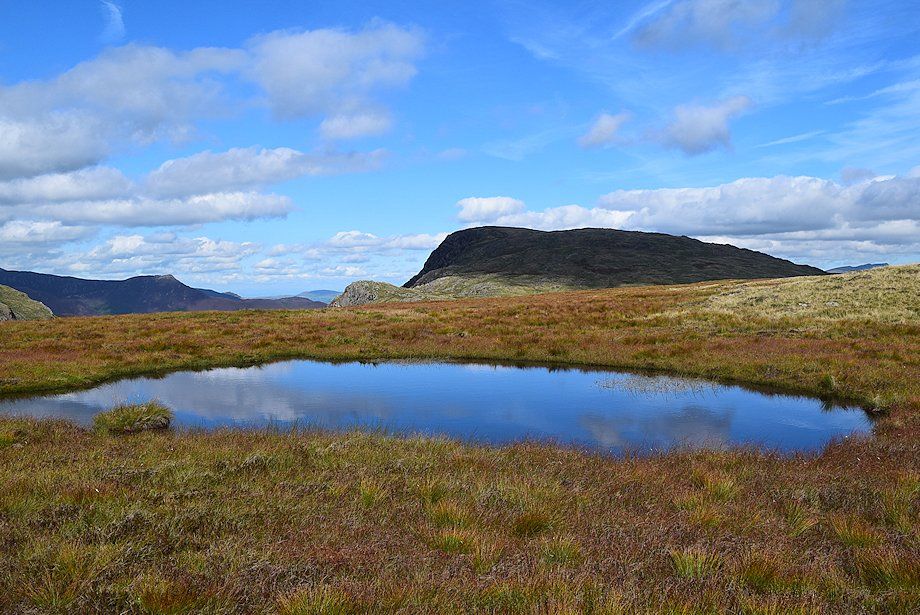
| The largest tarn on High Scawdel |
 |
| Dale Head across the largest tarn |
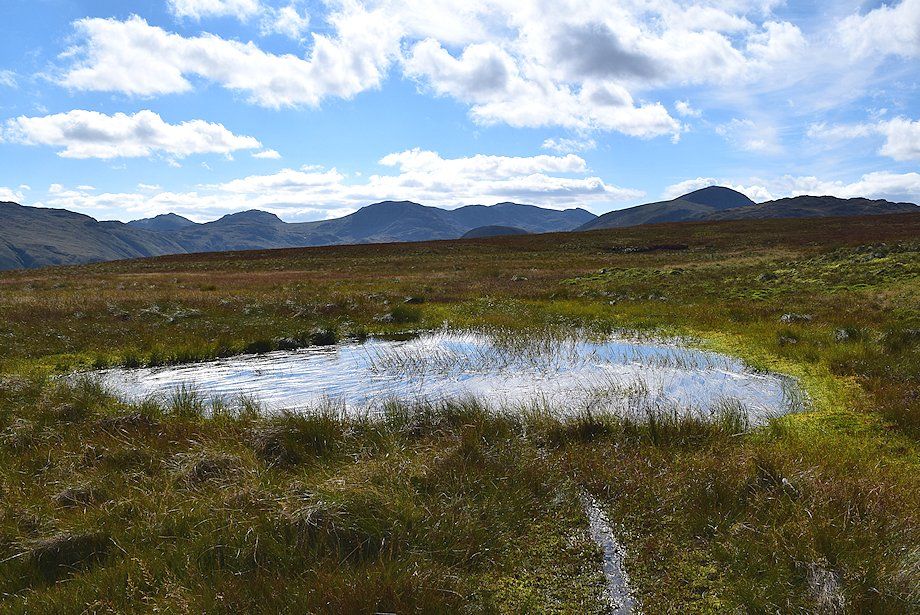 |
| The Scafell group from the fourth and smallest tarn which appears to be main drainage point on the plateau, keep to the right of it for the driest ground |
 |
| The going improves after passing the third tarn where a few of the old posts are still evident, most of them have rotted away |
 |
| A faint path which comes up from Dale Head Tarn can be used on the final approach to the rock tor |
 |
| Looking down on Dale Head Tarn |
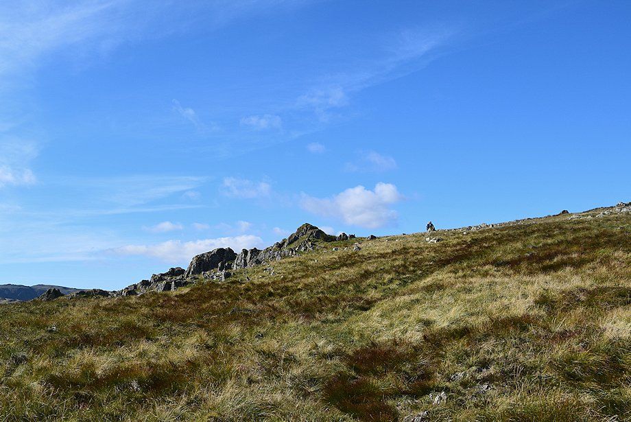 |
| The rock tor, which proves to be not so prominent after all when you reach it |
 |
| Looking back to High Scawdel from the rock tor |
 |
| From the rock tor a fair path leads up towards the south ridge of Dale Head where it eventually joins the major path which rises from Honister Hause |
 |
| Looking back to the rock tor |
 |
| Dale Head Tarn, Skiddaw and High Spy from the climb to the south ridge |
 |
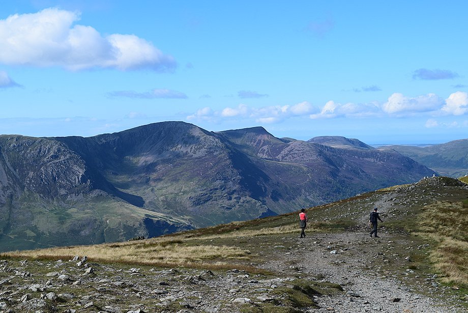
| Bleaberry Fell, Clough Head, Great Dodd and Stybarrow Dodd over High Scawdel from the climb to the south ridge |
 |
| Great Gable over Grey Knotts with Kirk Fell on the right from the climb to the south ridge |
 |
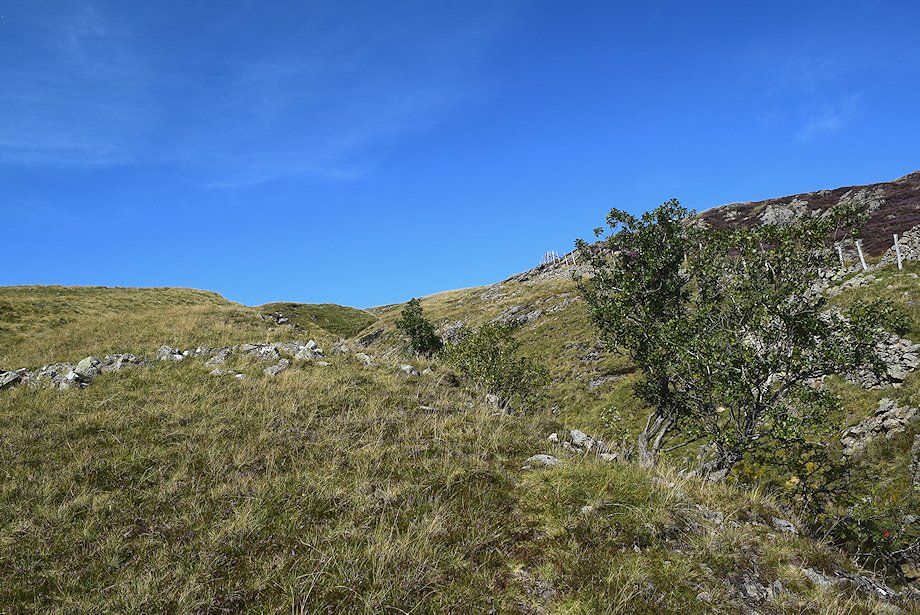
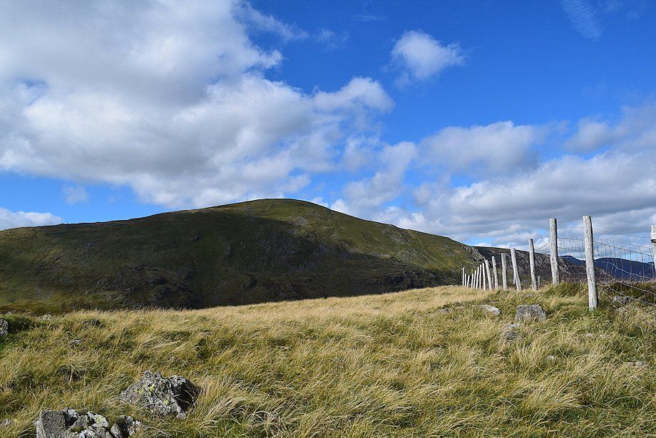
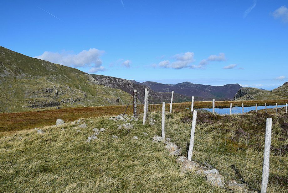
| The fence line on the south ridge soon comes into view. Iron posts, the last remains of the old fence, veer over to the right but it's easier to continue straight on towards the new fence which bounds the disused Yewcrag Quarries |
 |
| Looking back, the entire Helvellyn range over High Scawdel and the Central Ridge |
 |
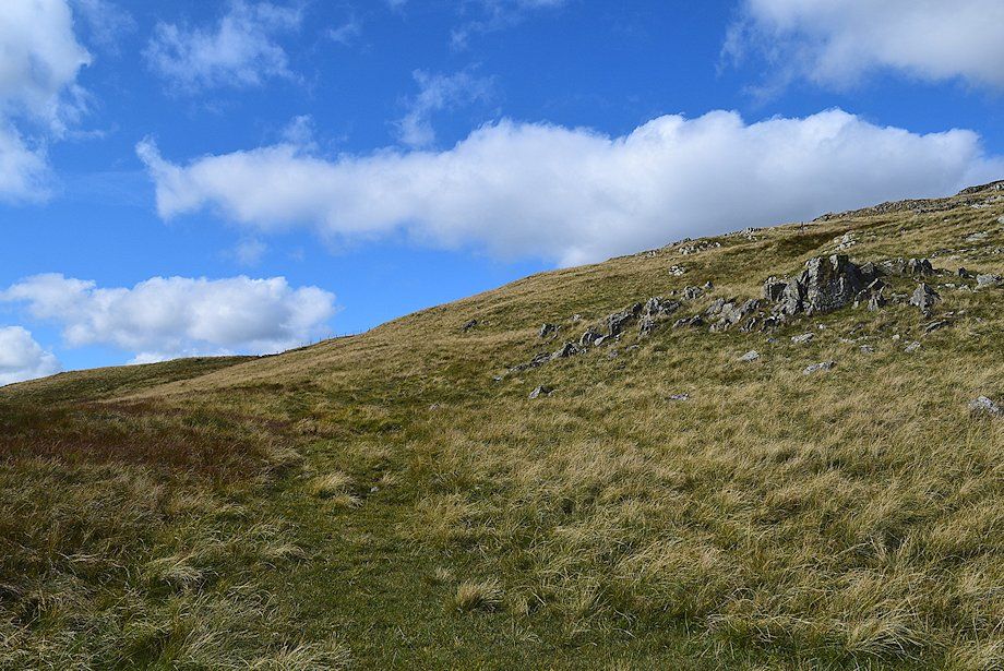
| Approaching the fence on the south ridge |
 |
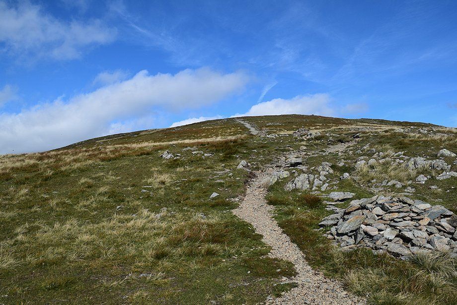
| The well worn path on the south ridge |
 |
| Looking over to Pillar above Honister Crag, with Kirk Fell on the left and High Crag on the right |
 |
| Looking back along the path on the south ridge. The path coming up from High Scawdel can be seen on the left, its start marked by a small cairn |
 |
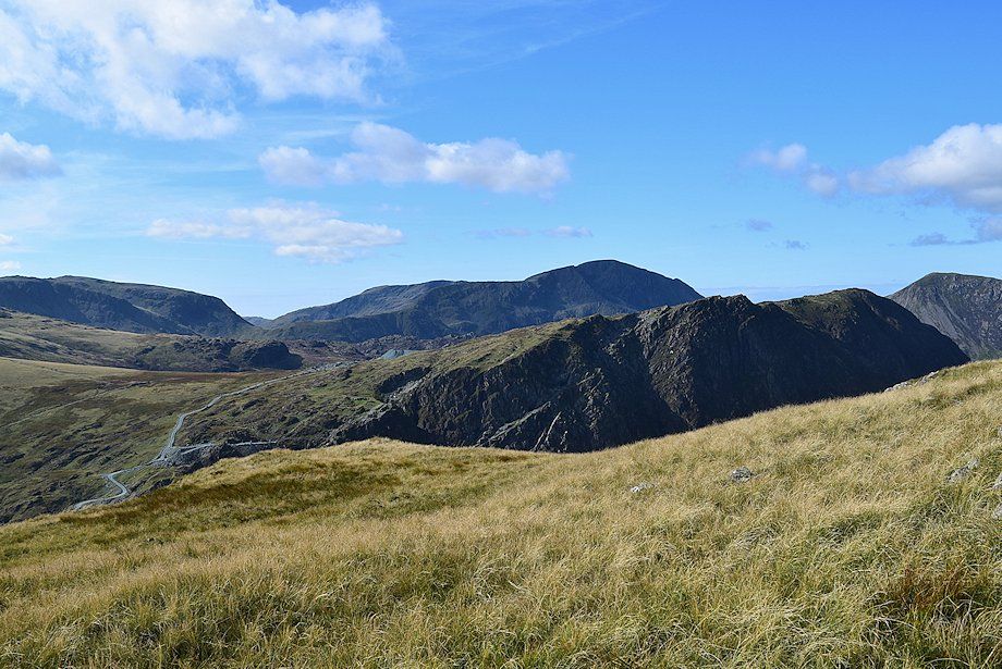
| Looking south-east over the High Scawdel plateau from the south ridge |
 |
| Fleetwith Pike and the High Stile ridge from the south ridge |
 |
| The new fence comes to an abrubt end after passing the last of the dangerous quarry excavations. The old fence used to extend right up to the summit, just a few of the original iron posts survive |
 |
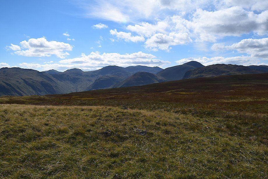
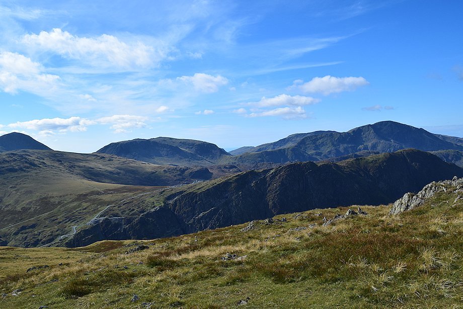
| Looking back, Great Gable over Grey Knotts in the centre with Bowfell, Esk Pike and the Scafells on the left and Kirk Fell to the right |
 |
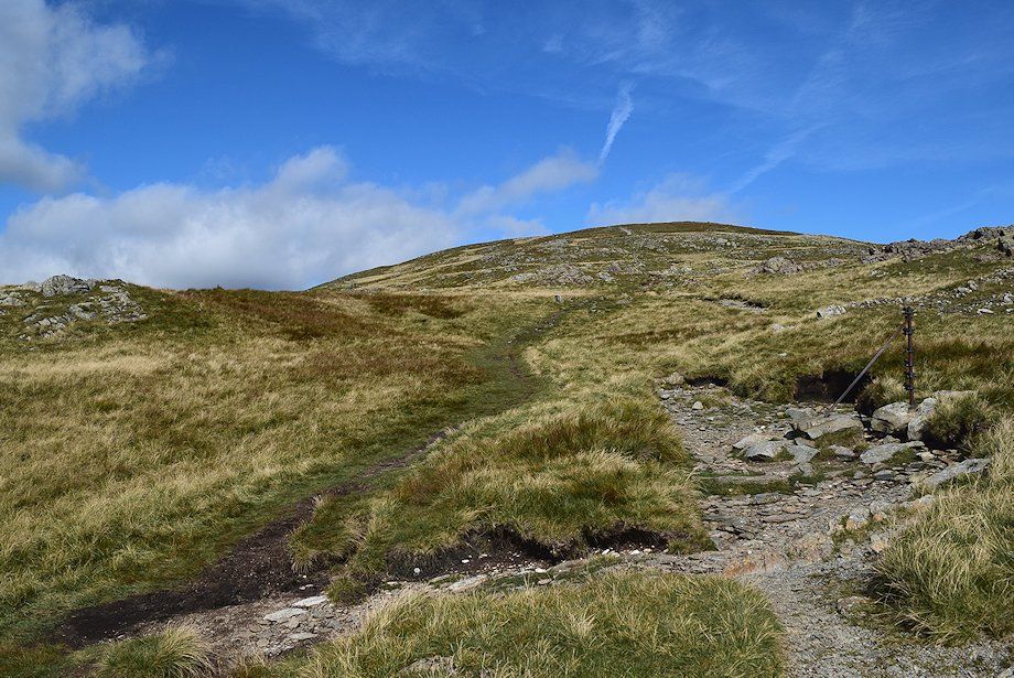
| The final slope leading up to the summit, a line of cairns now serve as a guide in poor visibility |
 |
| Great Gable over Brandreth on the left with Kirk Fell, Middle Fell, Red Pike and Pillar over Honister Crag |
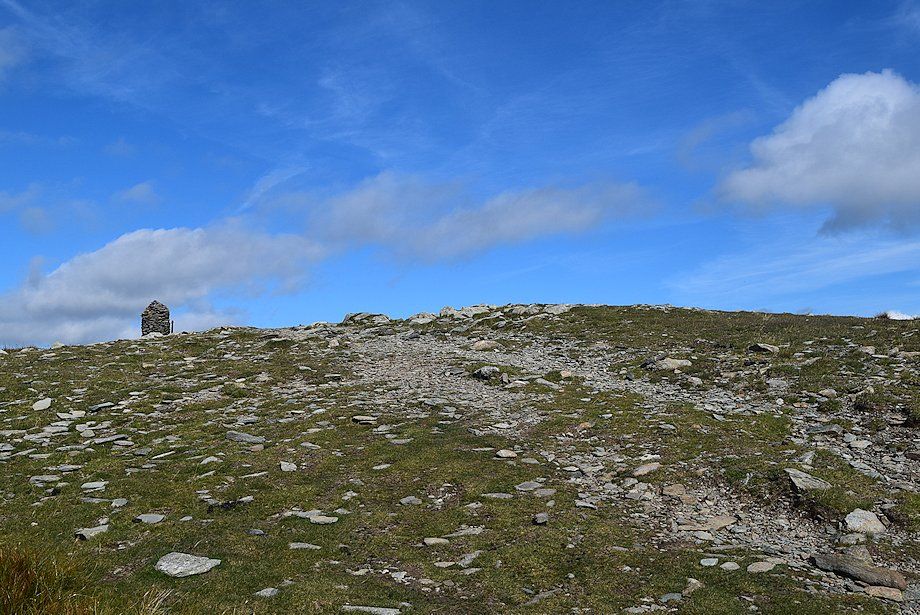 |
| The summit cairn comes into view |
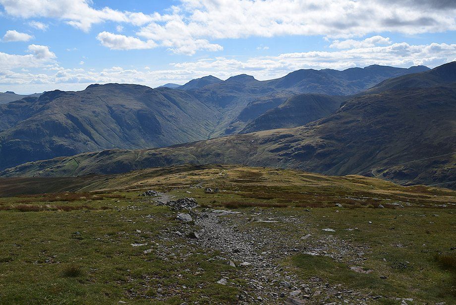 |
| Looking back along the south ridge from just below the summit |
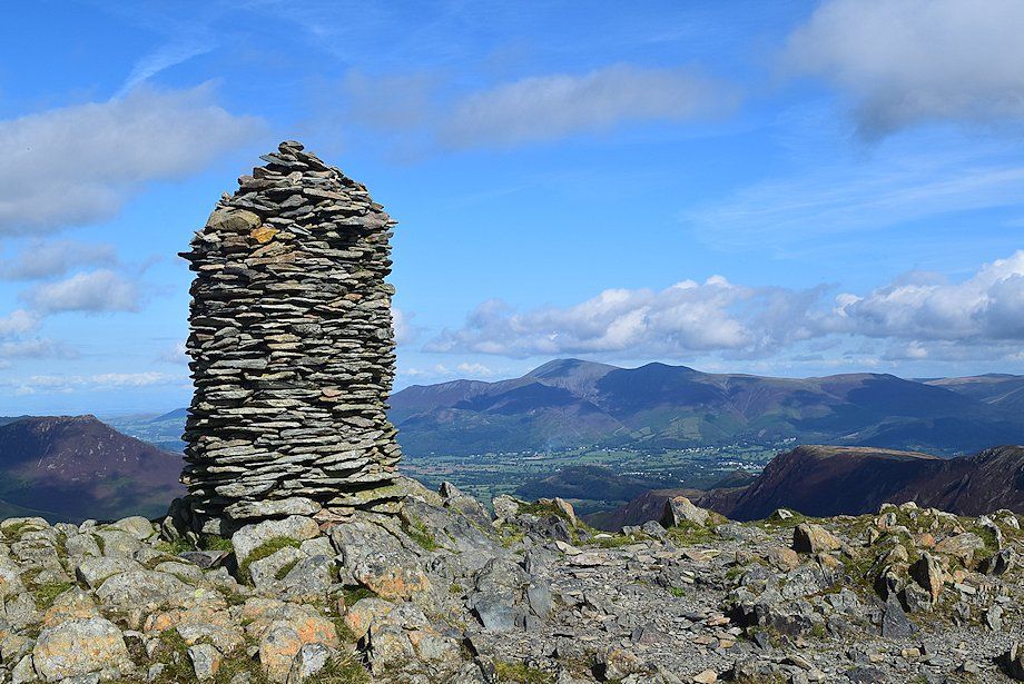 |
| The summit cairn on Dale Head looking towards Skiddaw |
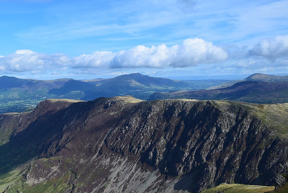 |
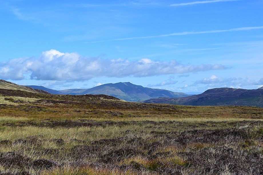
| Blencathra over High Spy with Clough Head over Bleaberry Fell on the right |
 |
| Looking east, Great Dodd, Raise, Stybarrow Dodd, White Side, Helvellyn, Nethermost Pike, Dollywaggon Pike and Fairfield form the skyline |
 |
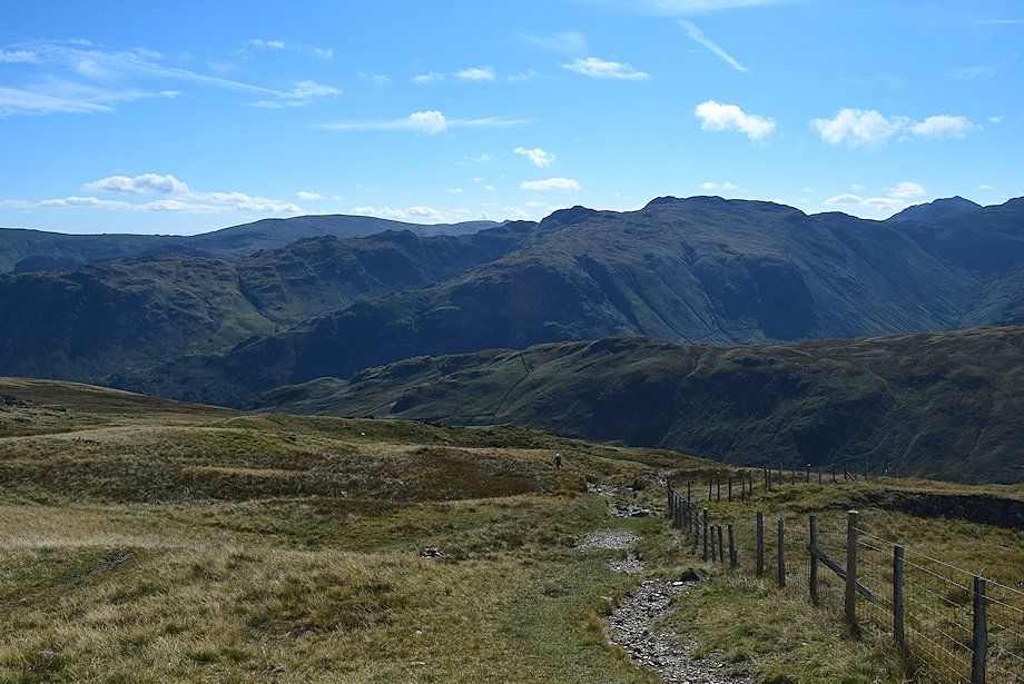
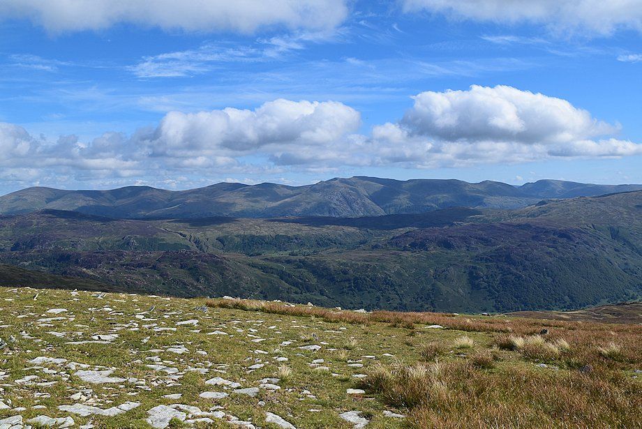
| Greenup Edge in the centre with Ullscarf to its left and High Raise to its right |
 |
| Looking south-east, High Raise, Thunacar Knott, Harrison Stickle, Pike o' Stickle, Glaramara, Swirl How and Bowfell form the horizon |
 |
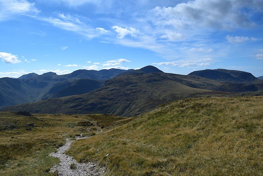
| Looking south towards, Esk Pike, Great End, Scafell Pike, Scafell and Great Gable |
 |
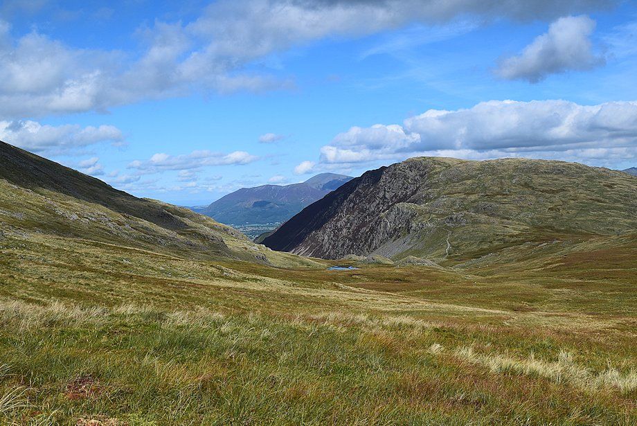
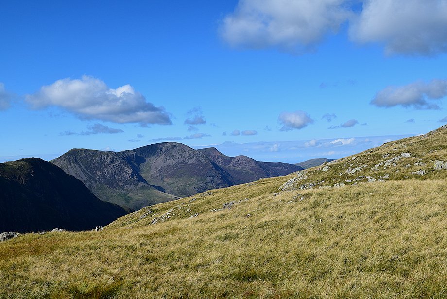
| Kirk Fell over Honister Crag |
 |
| Pillar over Fleetwith Pike |
 |
| High Crag, High Stile, Red Pike, Starling Dodd and Great Borne |
 |
| The connecting ridge to Hindscarth and Robinson |
 |
| Looking north-west over Hindscarth, Grasmoor, Eel Crag, Sail, Grisedale Pike, Scar Crags and Lord's Seat form the horizon |
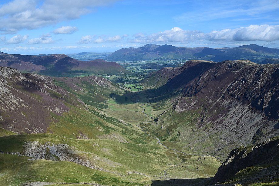 |
| The Newlands Valley from the summit of Dale Head |
|