
| Coniston Old Man - Route Five |
| Start - Torver SD 285 944 | Distance - 3.5 miles | Ascent - 2,420 feet | Time - 2 hours : 35 minutes |
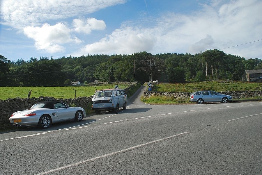 |
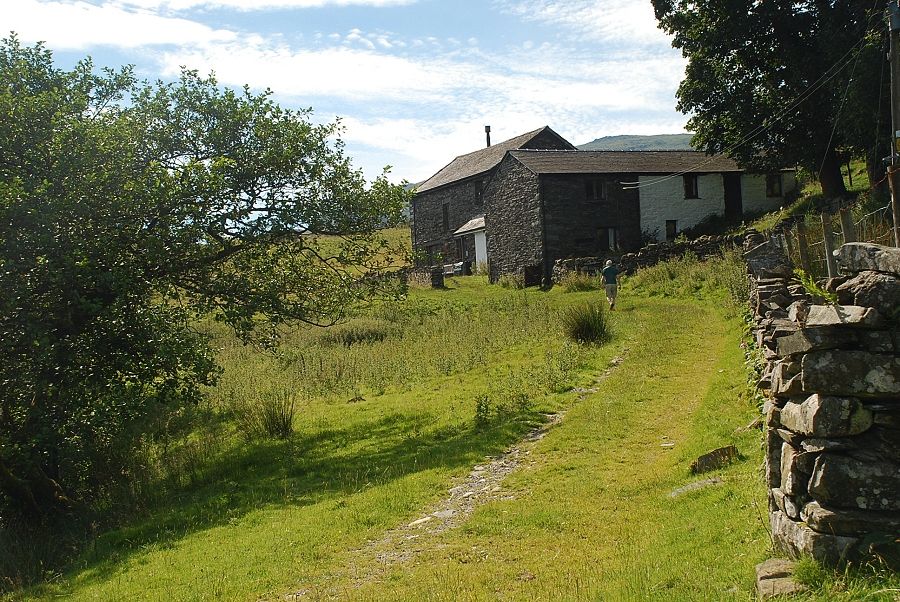
| Scarr Head lane at the start of the walk |
 |
| Scarr Head |
 |
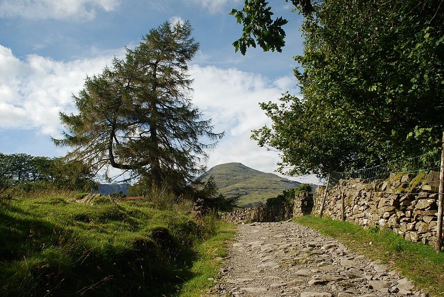
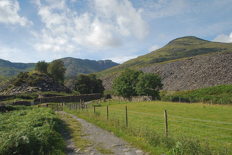
| Past the cottages of Scarr Head the lane continues as a walled bridleway, signposted "To Walna Scar" |
 |
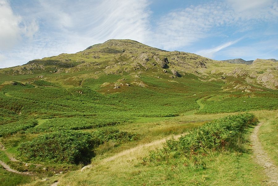
| The summit of Coniston Old Man comes into view as the lane approaches its highest point |
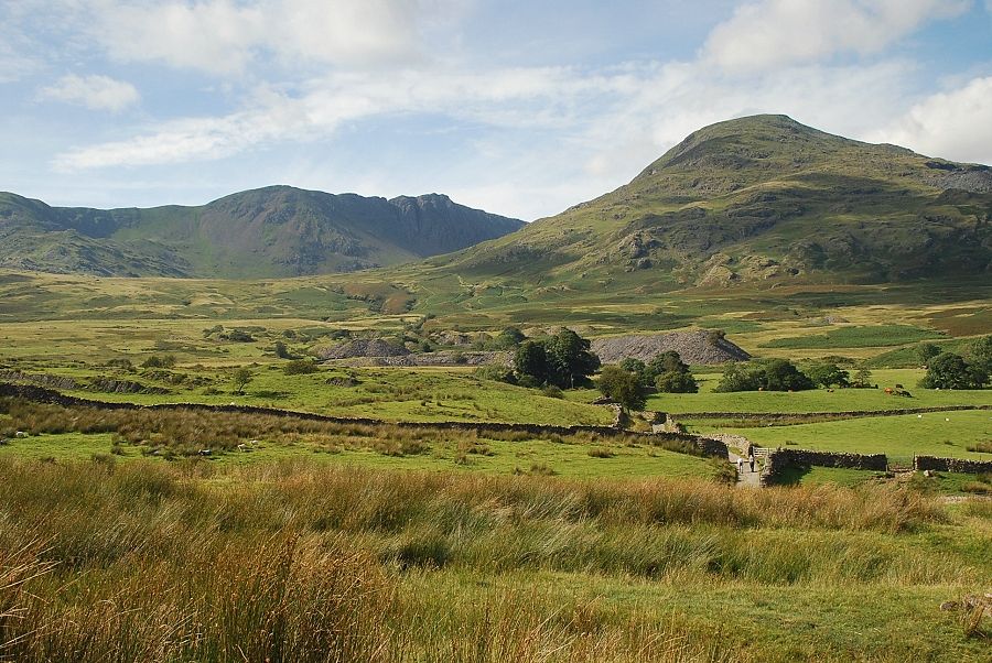 |
| On reaching the highest point of the lane the view opens out over Banishead Moor to Dow Crag and Coniston Old Man |
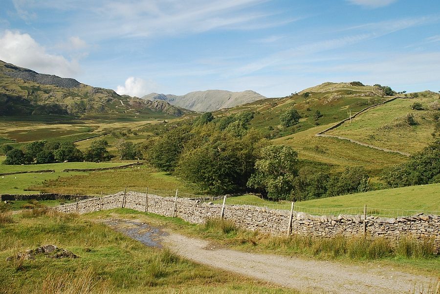 |
| Looking across to Wetherlam |
 |
| Passing Tranearth climbing hut |
 |
| A short distance past Tranearth the lane ends at a sheep handling pen. The path continues through a hand-gate and across a footbridge over Torver Beck to the right of the sheep pen to pass between the spoil heaps of Banishead Quarry |
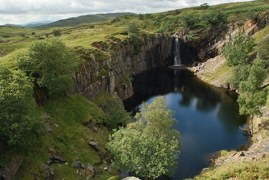 |
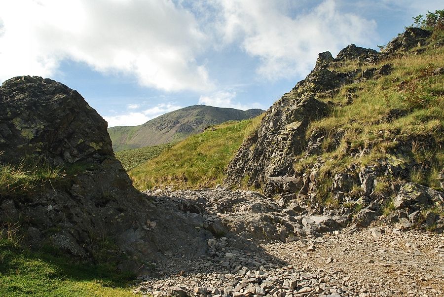
| Banishead Quarry |
 |
| Dow Crag from Banishead Quarry |
 |
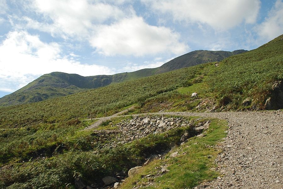
| Brown Pike, Buck Pike and Dow Crag from the path leading up to the Walna Scar Road |
 |
| Coniston Old Man from the path leading up to the Walna Scar Road |
 |
| Buck Pike from the second rock gate on the Walna Scar Road |
 |
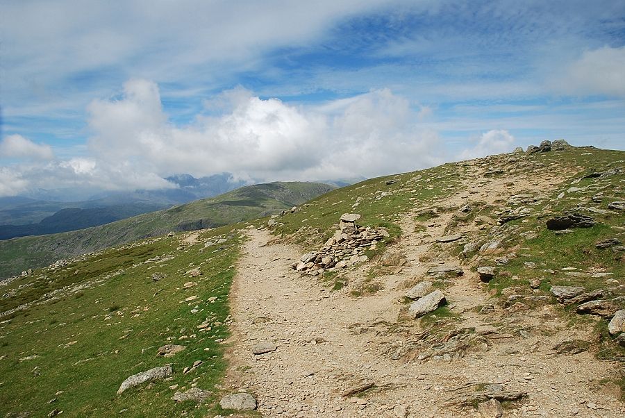
| Looking back along the Walna Scar Road |
 |
| A short distance past the rock gate a way marker post indicates the start of the path to The Cove |
 |
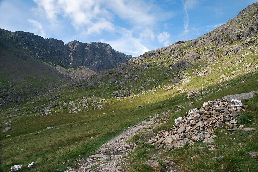
| Dow Crag from the path to The Cove |
 |
| Looking back from the path to The Cove |
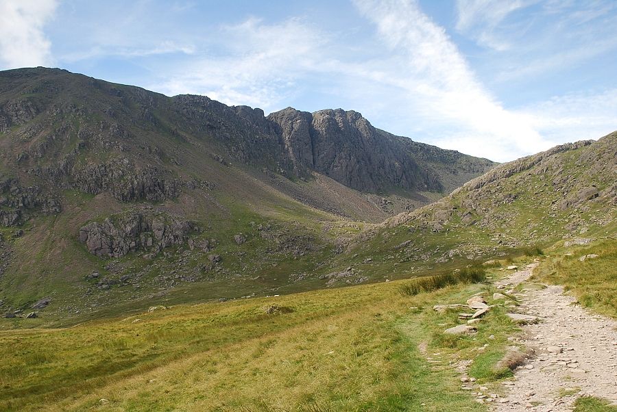 |
| Dow Crag across The Cove |
 |
| Brown Pike and Buck Pike across The Cove |
 |
| Coniston Old Man from The Cove |
 |
| Looking back from The Cove to Coniston Water |
 |
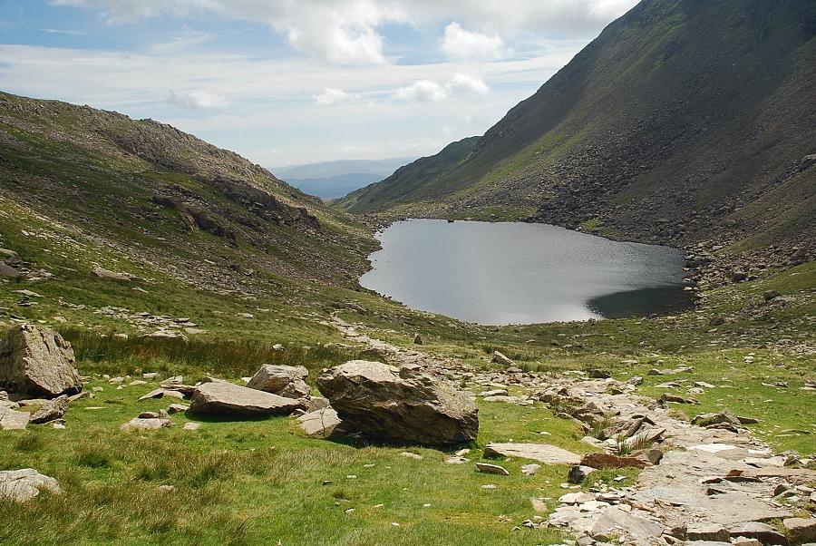
| Dow Crag from the white cairn on the approach to Goat's Water |
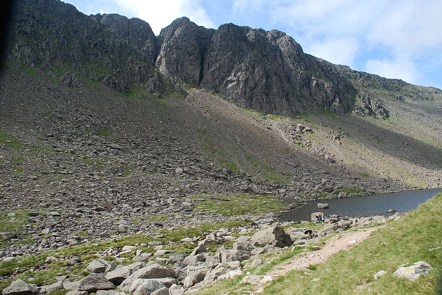 |
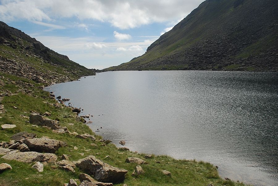
| Dow Crag from Goat's Water |
 |
| Goat's Hawse from Goat's Water |
 |
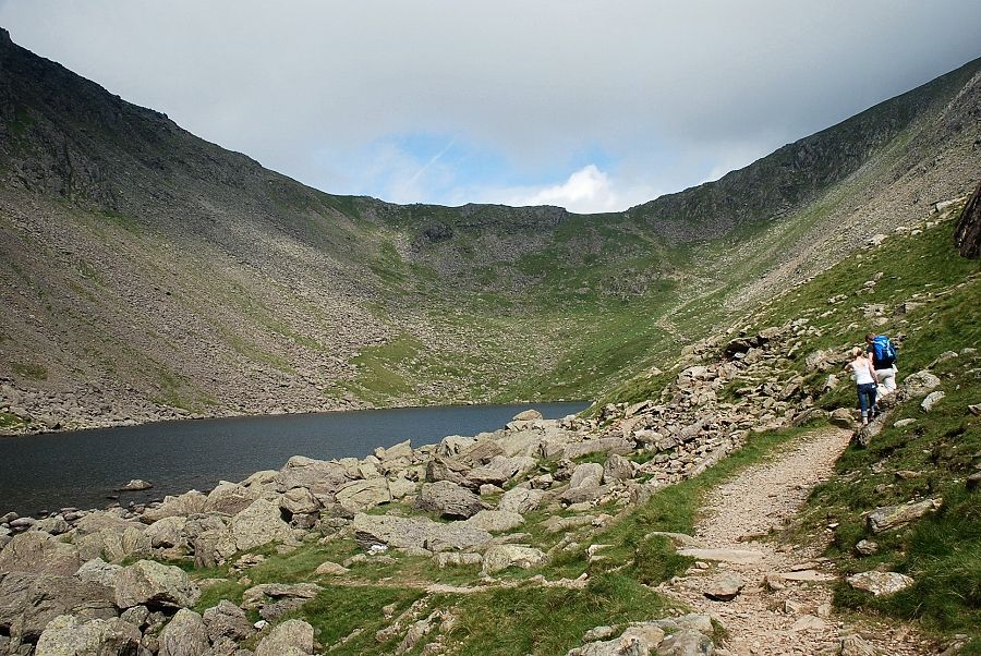
| Looking back along the path beside Goat's Water |
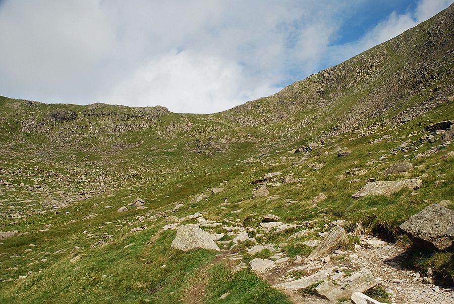 |
| The start of the path up to Goat's Hawse |
 |
| Charmer's Grave which is passed on this walk. It lies close to the path but it's not obvious and is difficult to locate Coniston Old Man - page 6 |
 |
| Looking back to Goat's Water from the path to the hawse |
 |
| The Scafells across the slopes of Grey Friar from Goat's Hawse |
 |
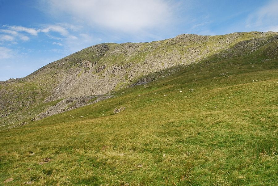
| Dow Crag from Goat's Hawse |
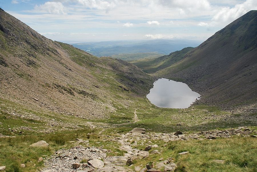 |
| Goat's Water from Goat's Hawse |
 |
| The start of the path up to Coniston Old Man from Goat's Hawse |
 |
| Looking back to Goat's Hawse from the path to Coniston Old Man |
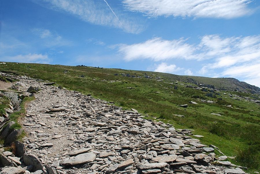 |
| After a steep 200 ft. climb from the hawse the path gradually turns to rise more easily across the north west slopes |
 |
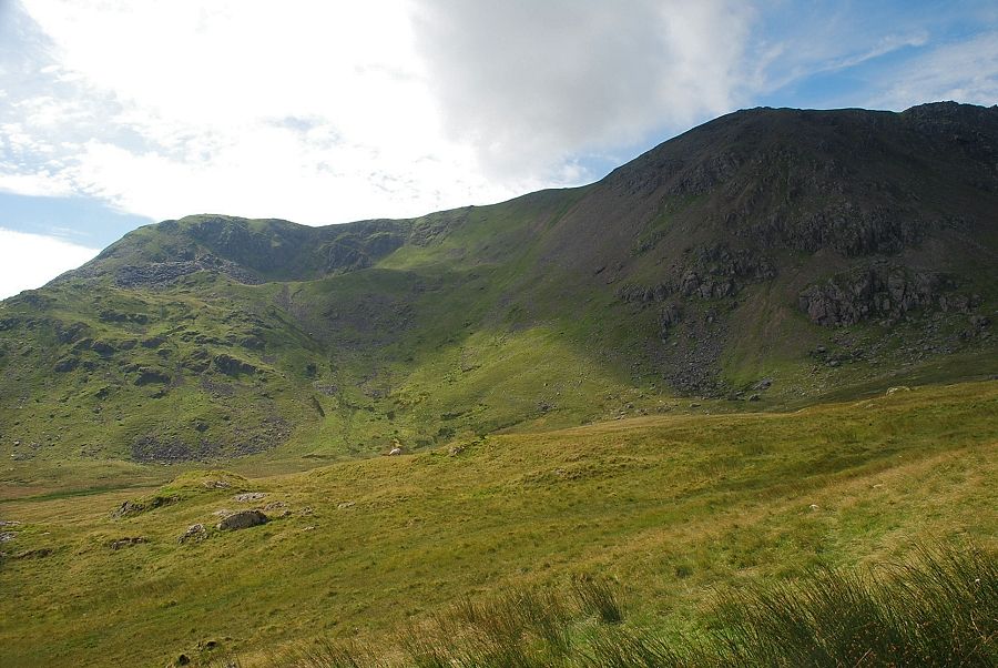
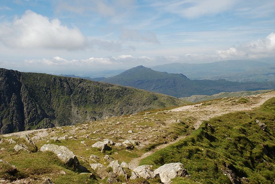
| Looking back towards Harter Fell |
 |
| A last look down to Goat's Water from the north west slope |
 |
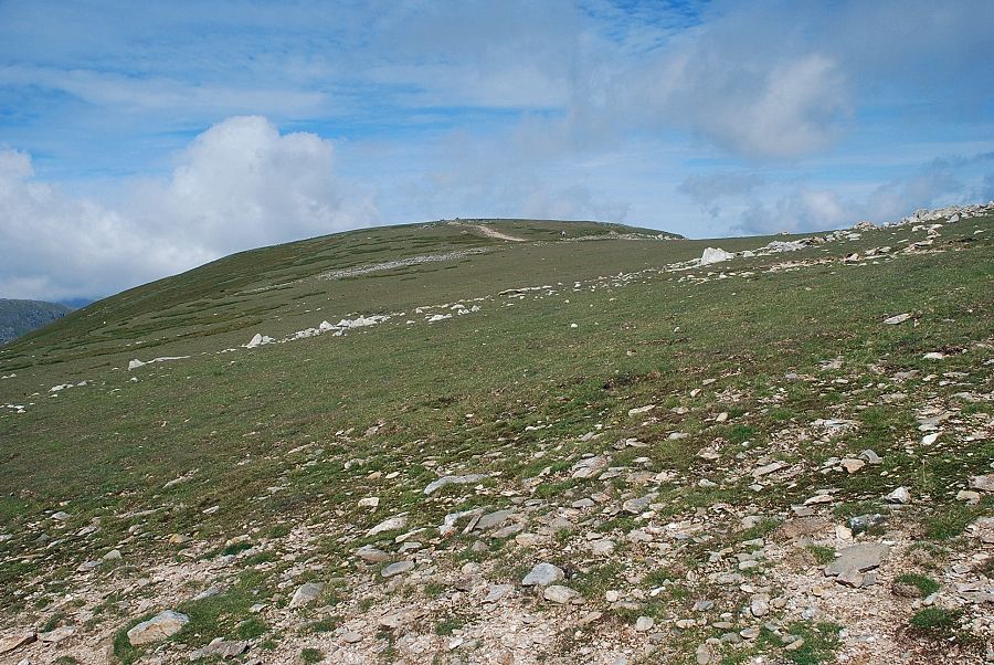
| Approaching the summit ridge |
 |
| Looking over to the summit of Brim Fell |
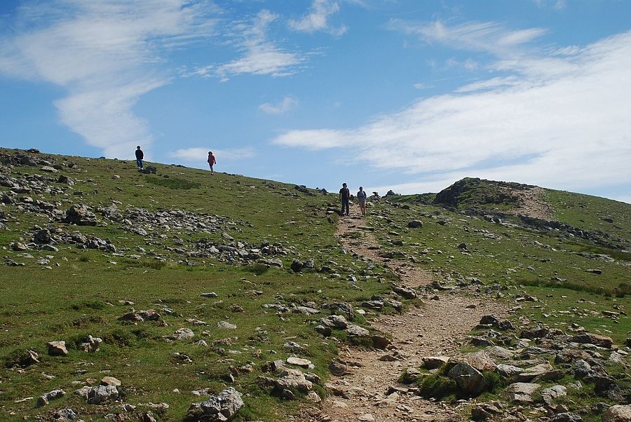 |
| The summit cairn comes into view on the approach to the main ridge |
 |
| Brim Fell over the saddle on the main ridge |
 |
| Looking back to the Scafells over Grey Friar from the main ridge |
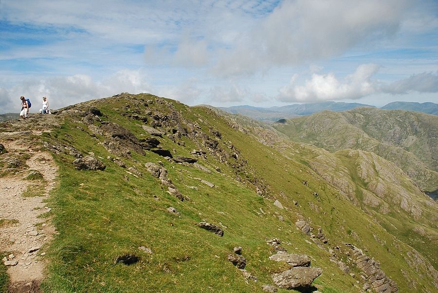 |
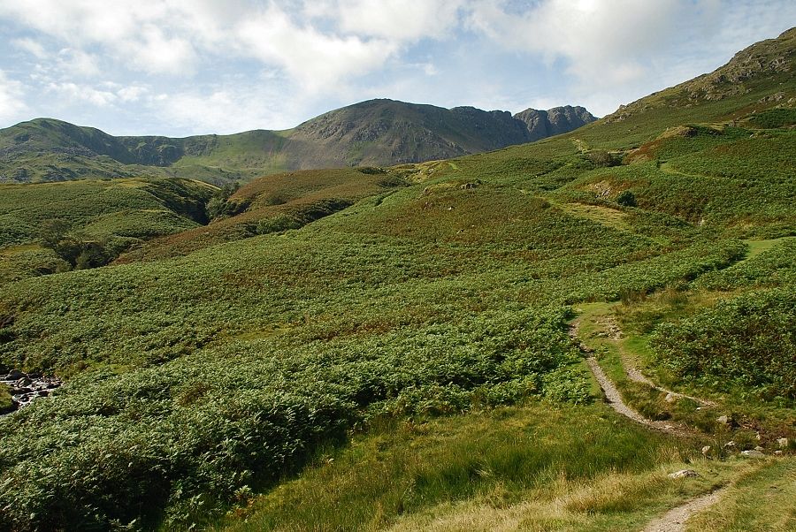
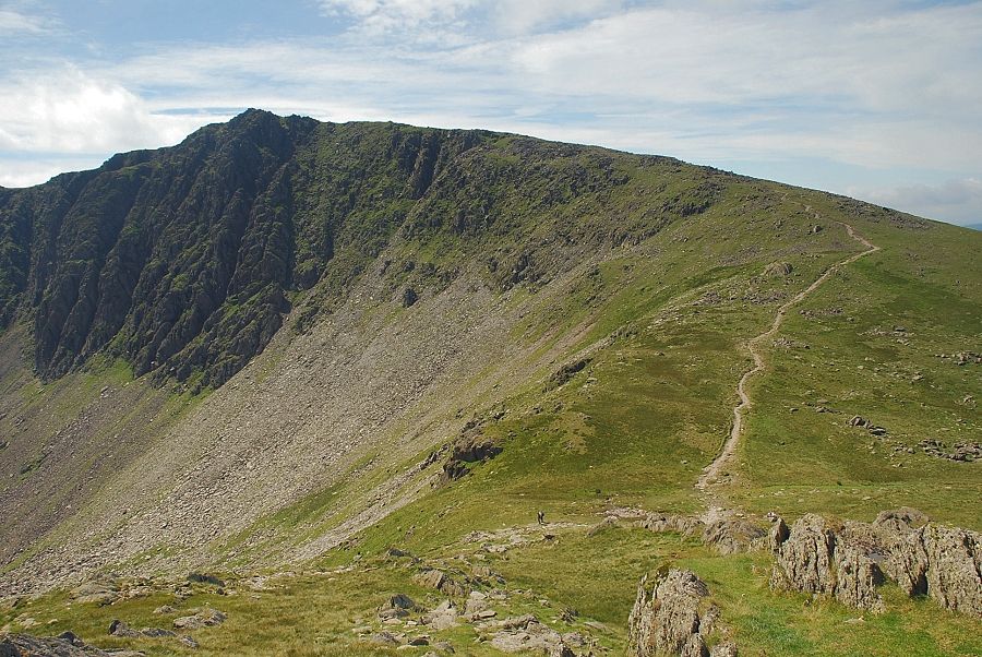
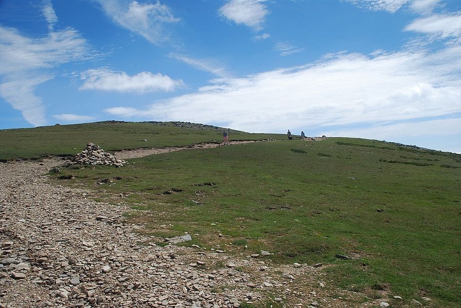
| The main ridge of the Coniston fells above the north-eastern combe |
 |
| Low Water and Wetherlam from the edge of the north-eastern combe |
 |
| The summit of Coniston Old Man across the north-eastern combe |
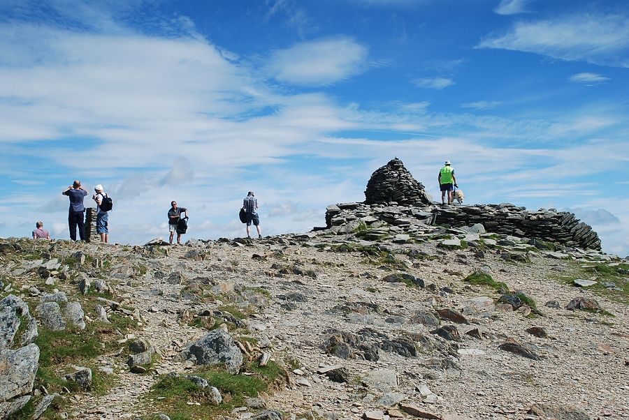 |
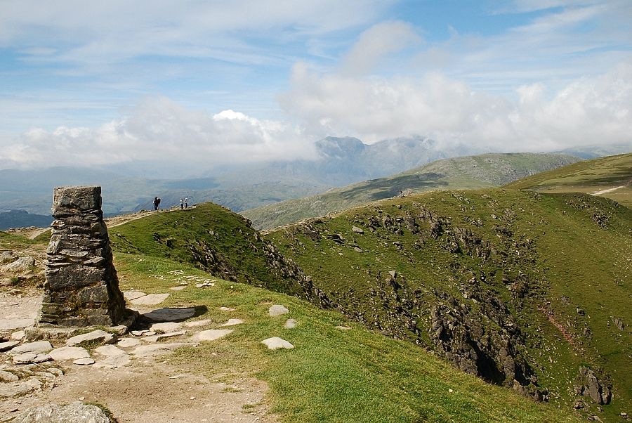
| The summit of Coniston Old Man |
 |
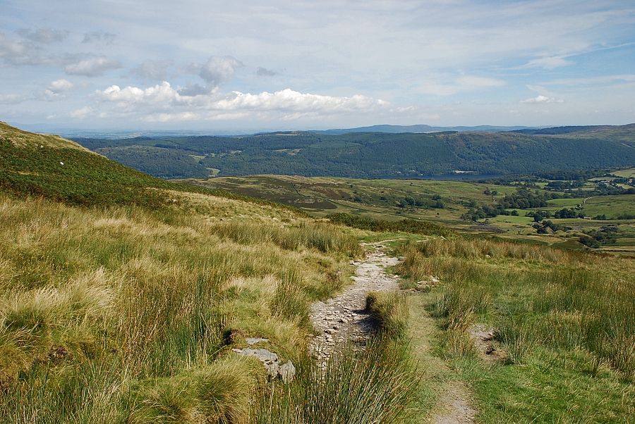
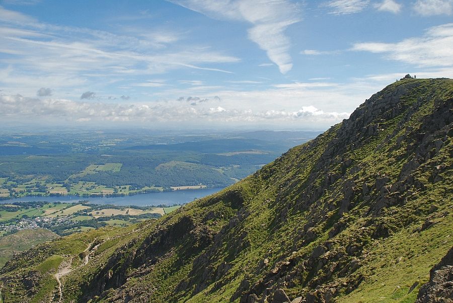
| Looking down on Coniston and the head of Coniston Water |
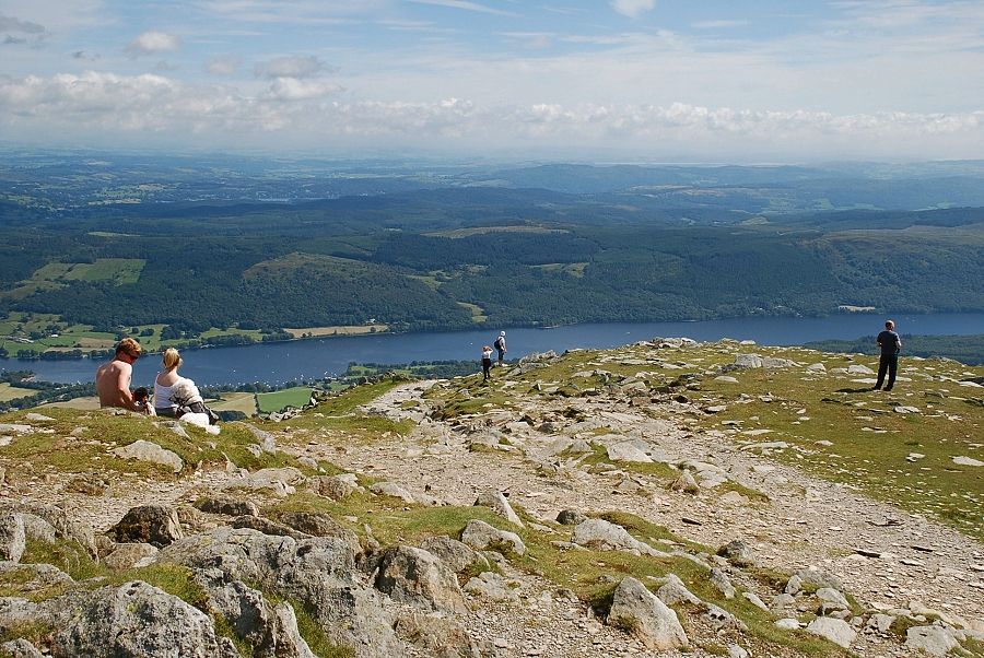 |
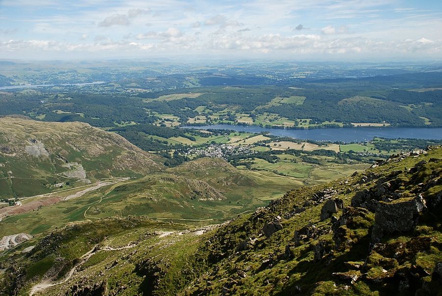
| The middle reaches of Coniston Water |
 |
| The foot of Coniston Water |
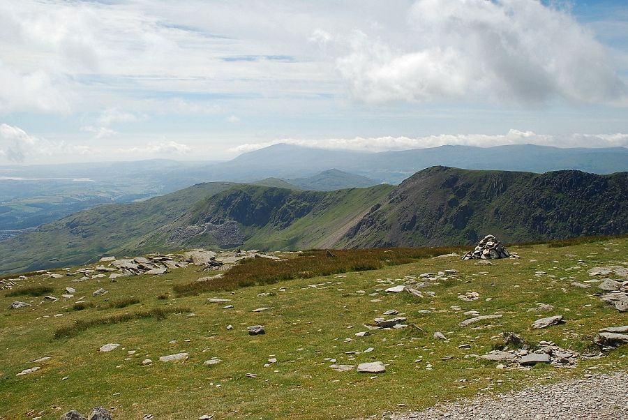 |
| Black Combe, Buck Barrow, Whitfell and Stainton Pike on the horizon with Brown Pike and Buck Pike in the foreground |
 |
| Buck Pike and Dow Crag from the summit of Coniston Old Man |
 |
| Harter Fell from the summit of Coniston Old Man |
 |
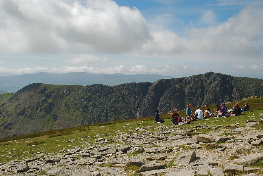
| The Scafells from the summit of Coniston Old Man |
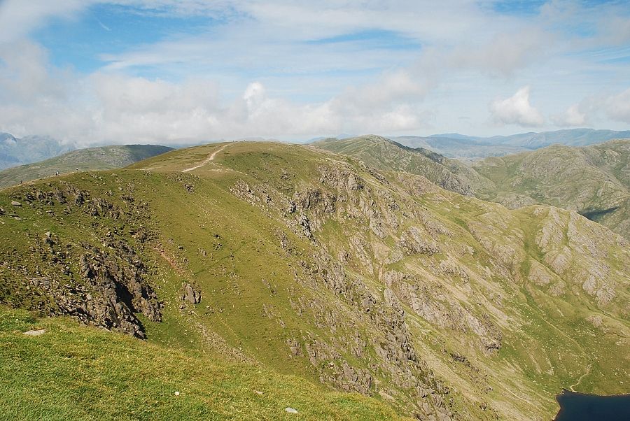 |
| Brim Fell and Swirl How along the main ridge |
|