
| Coniston Old Man - Route Two |
| Start - Coniston (Fell Gate) SD 289 970 | Distance - 2 miles | Ascent - 1,960 feet | Time - 1 hour : 45 minutes |
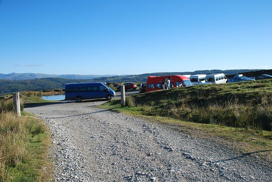 |
| The car park beyond the fell gate leading to the Walna Scar Road is the starting point for this walk |
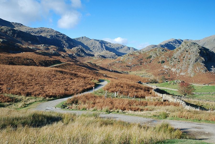 |
| From the car park the quarrymen's track winds its way towards the heart of the Coniston Fells |
 |
| Looking across to the distant Far Eastern Fells from the quarrymen's track |
 |
| Looking up from the track to the summit of Coniston Old Man |
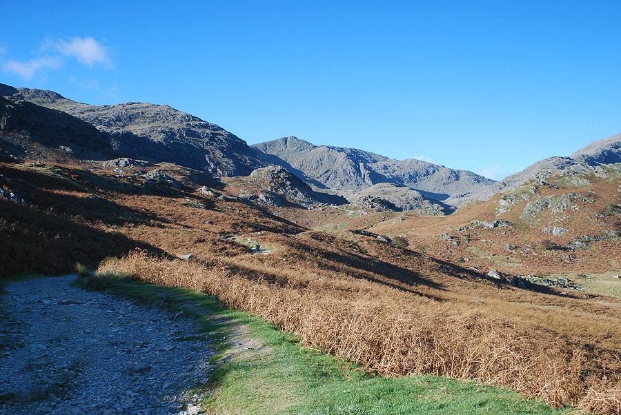 |
| Higher on the track with Swirl How on the horizon and Brim Fell to the left |
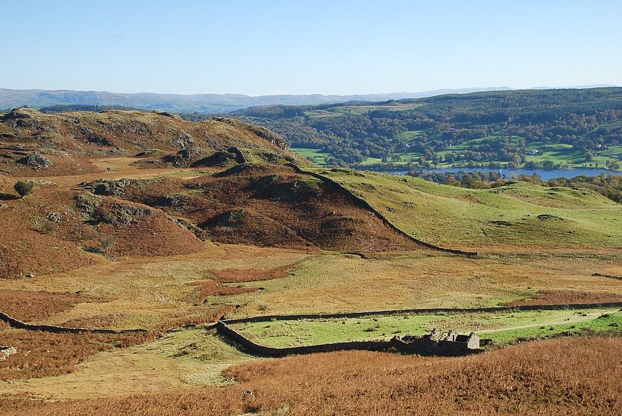 |
| Looking down to the ruins of Bell Cottage |
 |
| Looking back to Coniston Water and the car park |
 |
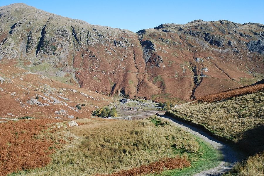
| The Black Sails ridge on Wetherlam ahead as the track approaches a level shoulder that overlooks The Coppermines Valley |
 |
| The Coppermines Valley. Another quarrymen's track rising out of the valley from Miner's Bridge joins this one at this point |
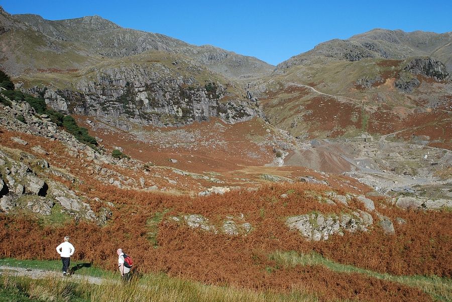 |
| Looking over the upper reaches of the Coppermines Valley. Grey Crag and Kennel Crag above the old spoil heaps and mine workings |
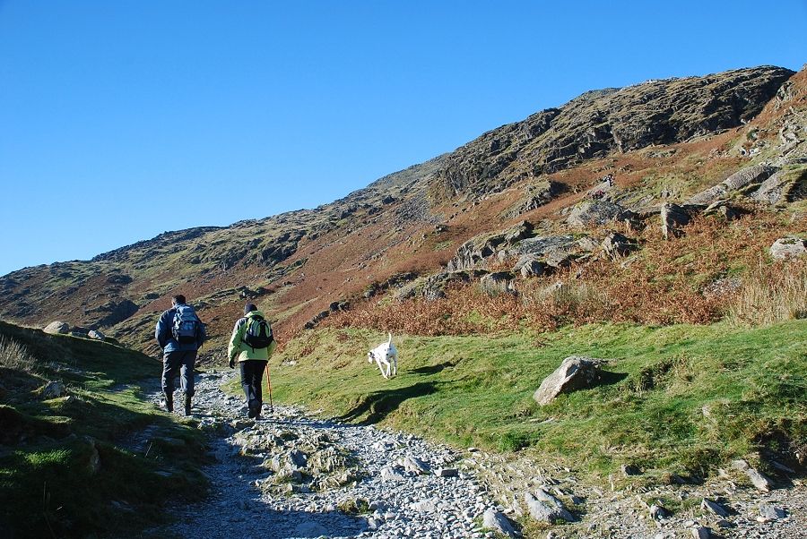 |
| The track continues climbing the craggy slopes of Below Beck Fells towards the old quarries and Low Water |
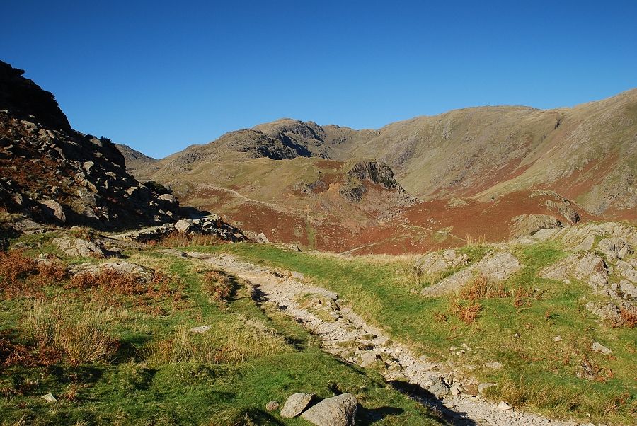 |
| At this point a level terraced path branches off to the right heading for Boulder Valley and Levers Water |
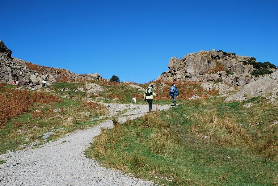 |
| The main track carries on towards Low Water |
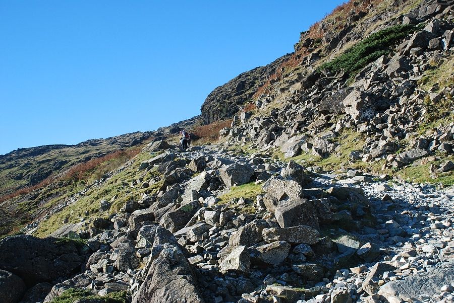 |
| Climbing by a series of zig-zags around the rocky outcrops of Below Beck Fells |
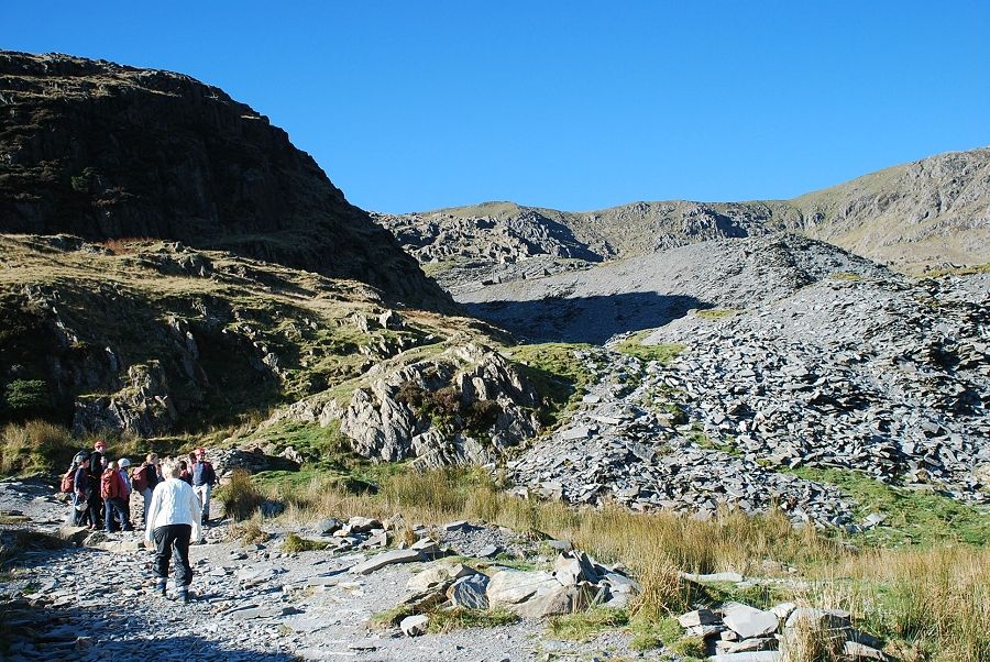 |
| The lower spoil heaps of the disused Saddlestone Quarry come into view |
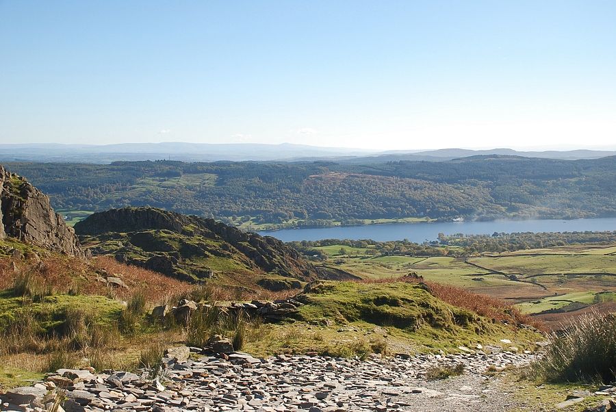 |
| Looking back to Coniston Water from below Saddlestone Main Bank |
 |
| Approaching Saddlestone Main Bank |
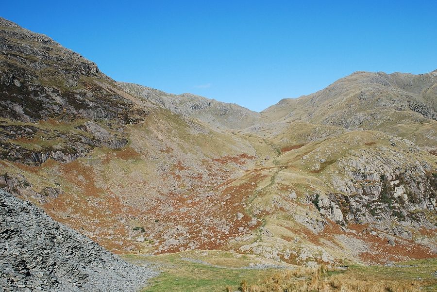 |
| Looking down to Boulder Valley and the path leading to Levers Water and Swirl Hawse |
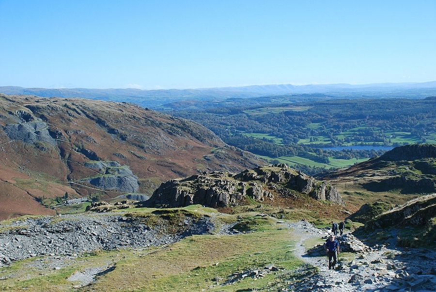 |
| Looking back from Saddlestone Main Bank |
 |
| Saddlestone Main Bank was the main processing facility and offices for the slate mines and quarries on the east face of Coniston Old Man |
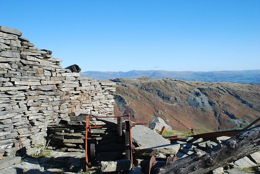 |
| Looking out from the Quarry buildings over the Yewdale Fells to the Far Eastern Fells |
 |
| The Coppermines Valley from Saddlestone Main Bank |
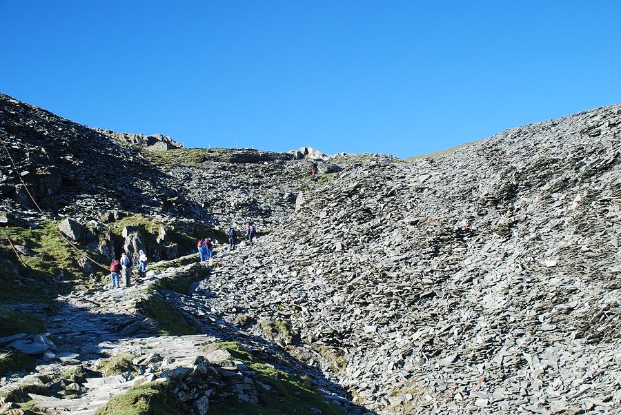 |
| The path continues on around Smithy Bank, another huge spoil heap. The main quarries of Moss Head lie above and are well worth a visit |
 |
| There are a lot of industrial relics of the slate mining era lying about such as this arial flight cable used for transporting the slate clogs down from Moss Head to Saddlestone Main Bank for processing. The winches and brake mechanisms are still in place on the upper banks |
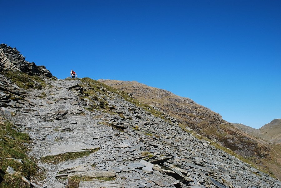 |
| The ascent path skirts the quarries as it continues to climb towards Low Water and the north east combe |
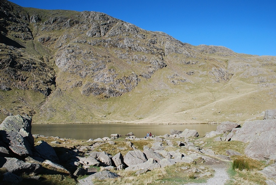 |
| Low Water. The slate miners used the water from the tarn to drive turbines providing electricity and compressed air to power their winches and slate riving / dressing machinery. In those days it was known as High Water |
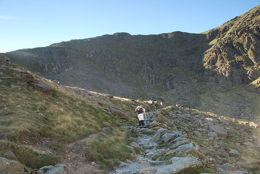 |
| The path continues into the the north east combe making use of an old sledway which rises to the low point on the left skyline |
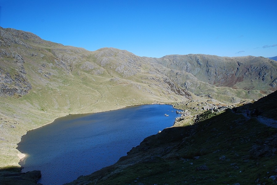 |
| Looking back to Low Water |
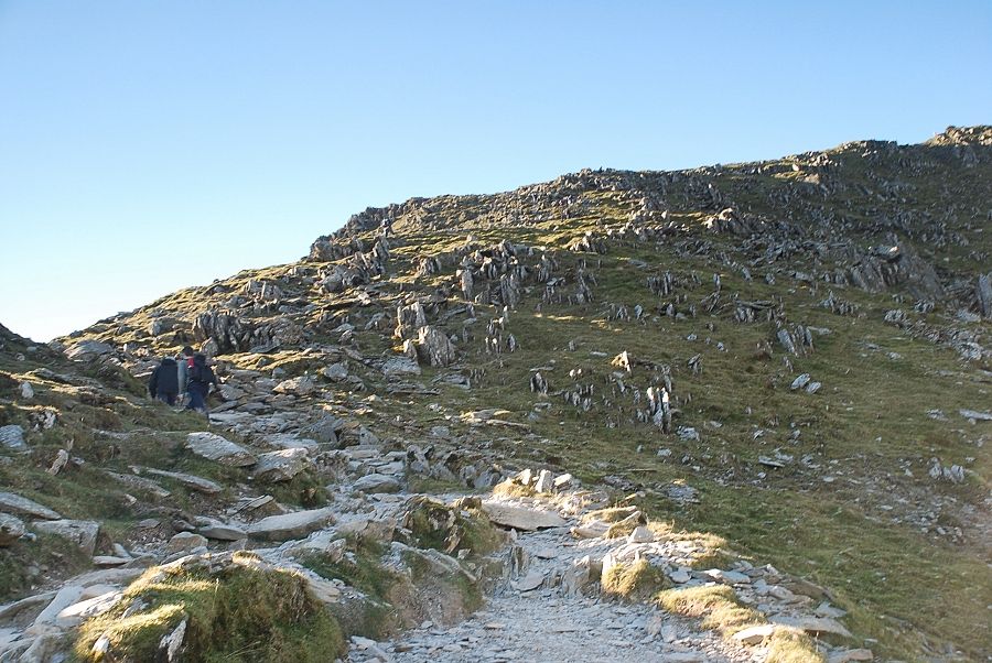 |
| The path emerges onto a shallow col on the east ridge high above the old quarries |
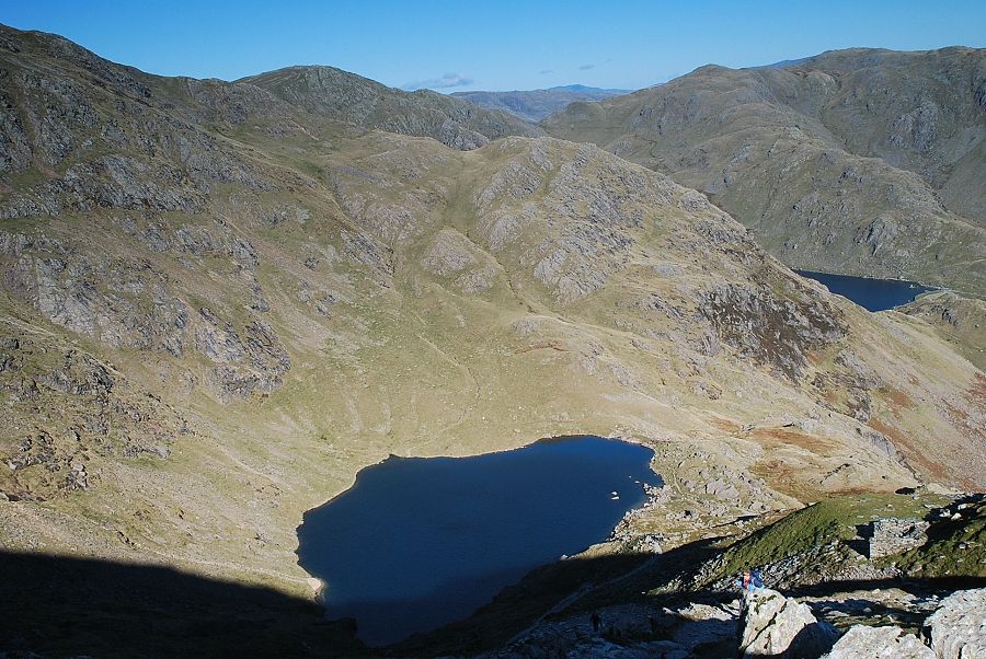 |
| Looking down to Low Water from the col |
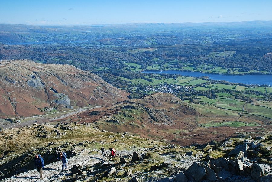 |
| Looking down to Coniston from the east ridge |
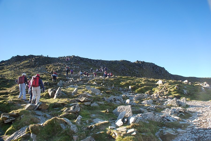 |
| Looking up the east ridge to the summit |
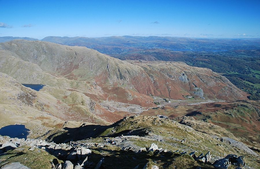 |
| Looking back from higher on the east ridge |
 |
| The summit cairn comes into view |
 |
| Looking across to Brim Fell and Swirl How |
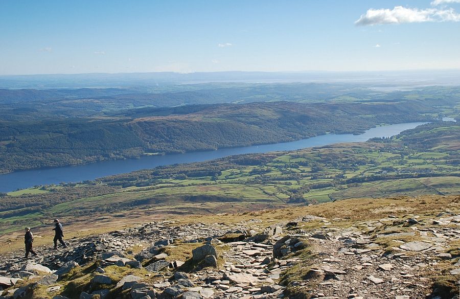 |
| Coniston Water from just below the summit cairn |
 |
| The summit of Coniston Old Man |
 |
| The trig column and cairn from the west |
 |
| Looking south west to Brown Pike and Buck Pike |
 |
| Dow Crag, the Isle of Man just visible on the horizon |
 |
| Looking north-west to Harter Fell with Whin Rigg, Illgill Head, Seatallan, and Haycock on the horizon |
 |
| The Scafells, Esk Pike and Bowfell. Some benefactor has left several cans of Coca-Cola on the trig column with an invitation for walkers to help themselves and to please carry the empty cans back down with them ! |
 |
| Brim Fell and Swirl How |
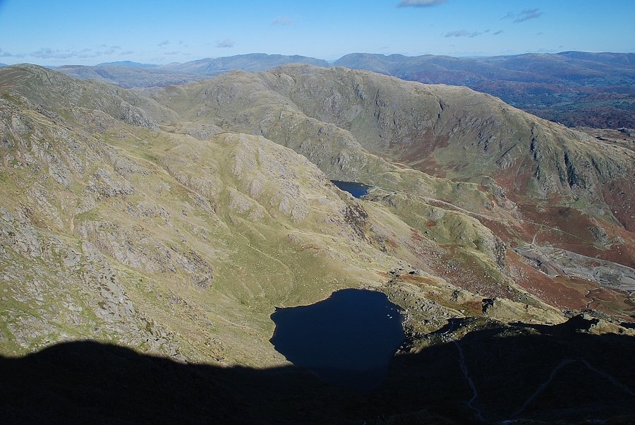 |
| Looking down the north-east combe to Low Water with part of Levers Water visible between Raven Tor and the Black Sails ridge |
 |
| Windermere and the Far Eastern Fells |
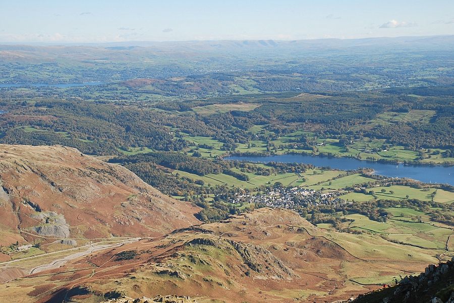 |
| Coniston and the head of Coniston Water |
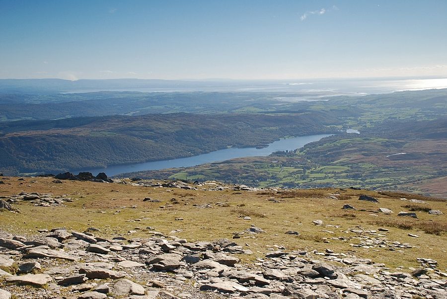 |
| Morecambe Bay over Coniston Water |
|