
|
|
| Start - Kirkstone Pass NY 401 081 | Distance - 2 miles | Ascent - 1,200 feet | Time - 1 hour : 20 minutes |
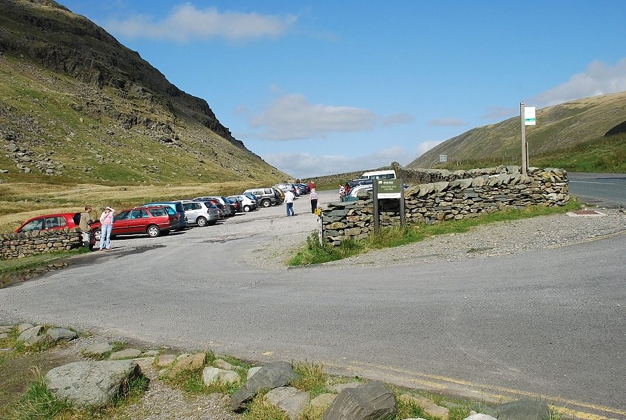 |
| The LDNP car park on the summit of the Kirkstone Pass is the start of this walk |
 |
| The Kirkstone Pass Inn is opposite the car park |
 |
| On the left of the Inn a stile gives access to a field below St. Raven's Edge |
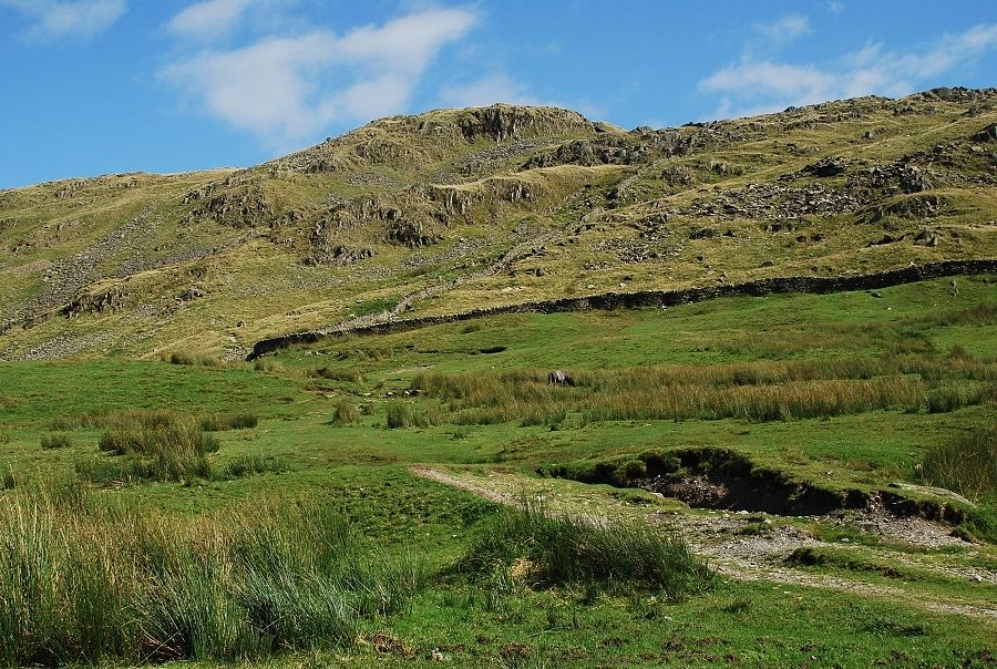 |
| A path runs diagonally across the field to another stile and onto the open fellside |
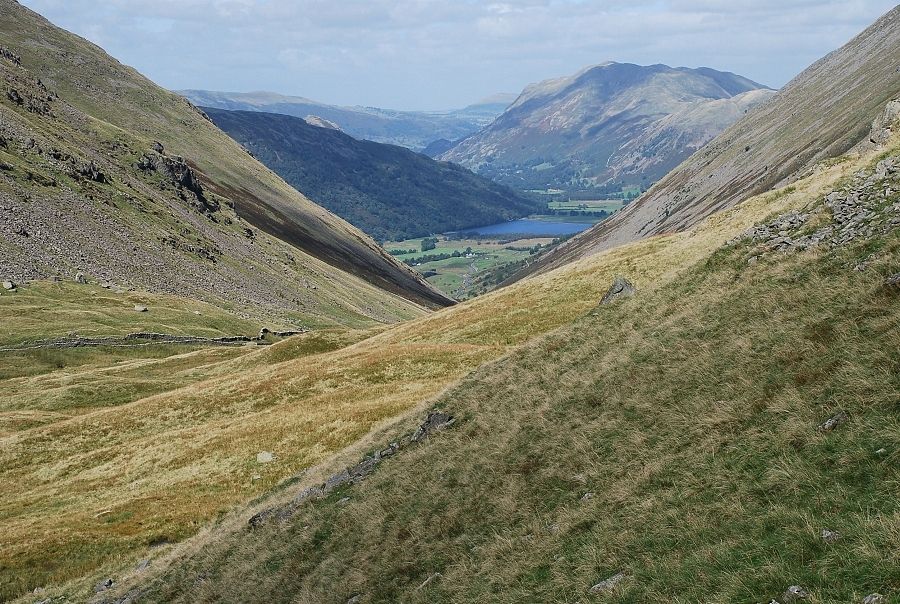 |
| Looking down towards Brothers Water and Place Fell |
 |
| It's about a 450ft climb from the road to the top of St. Raven's Edge. The path is squeezed between the crags and a wall as it nears its summit |
 |
| Red Screes from the summit of St. Raven's Edge |
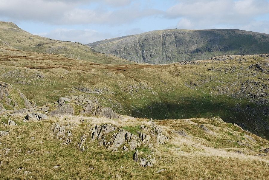 |
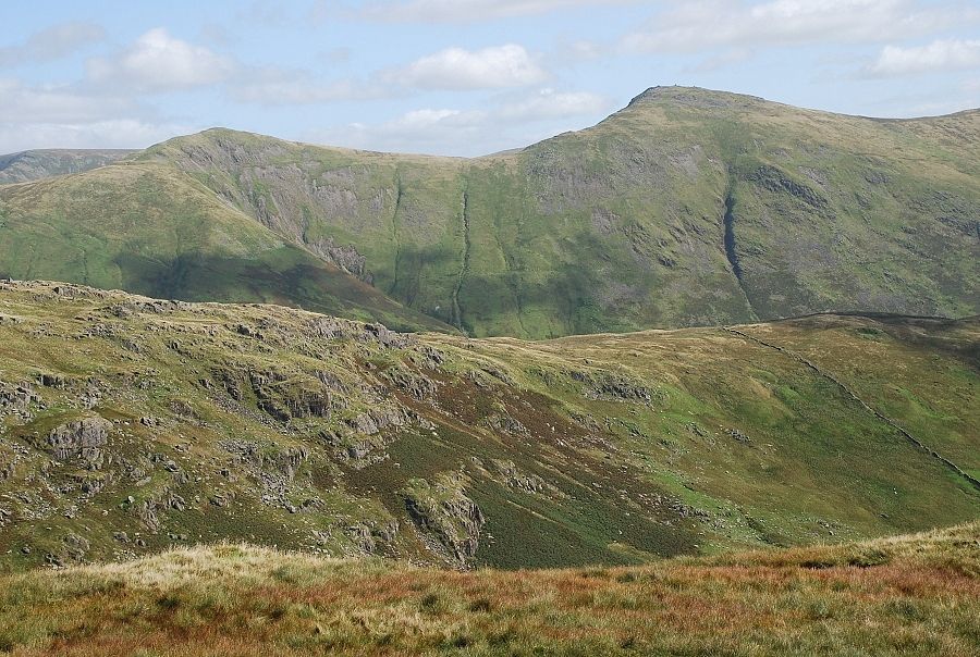
| Looking across the southern ridges of Caudale Moor to Thornthwaite Crag from St. Raven's Edge |
 |
| Froswick and Ill Bell over the south (intermediate) ridge of Caudale Moor from St. Raven's Edge |
 |
| Brothers Water and a glimpse of Ullswater from St. Raven's Edge |
 |
| Looking down to the Kirkstone Pass Inn from St. Raven's Edge |
 |
| The way ahead to Caudale Moor from the top of St. Raven's Edge |
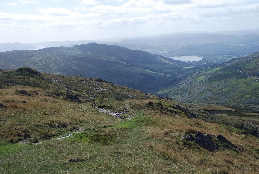 |
| Wansfell and Windermere from St. Raven's Edge |
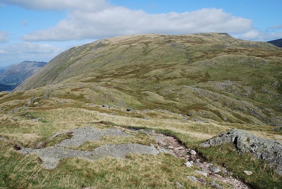 |
| On the path along St. Raven's Edge. The route follows the wall almost all the way to the summit of Caudale Moor |
 |
| Looking back from the same position to the top of St. Raven's Edge |
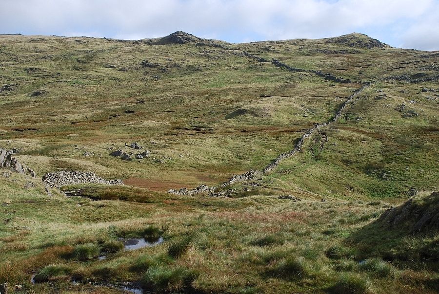 |
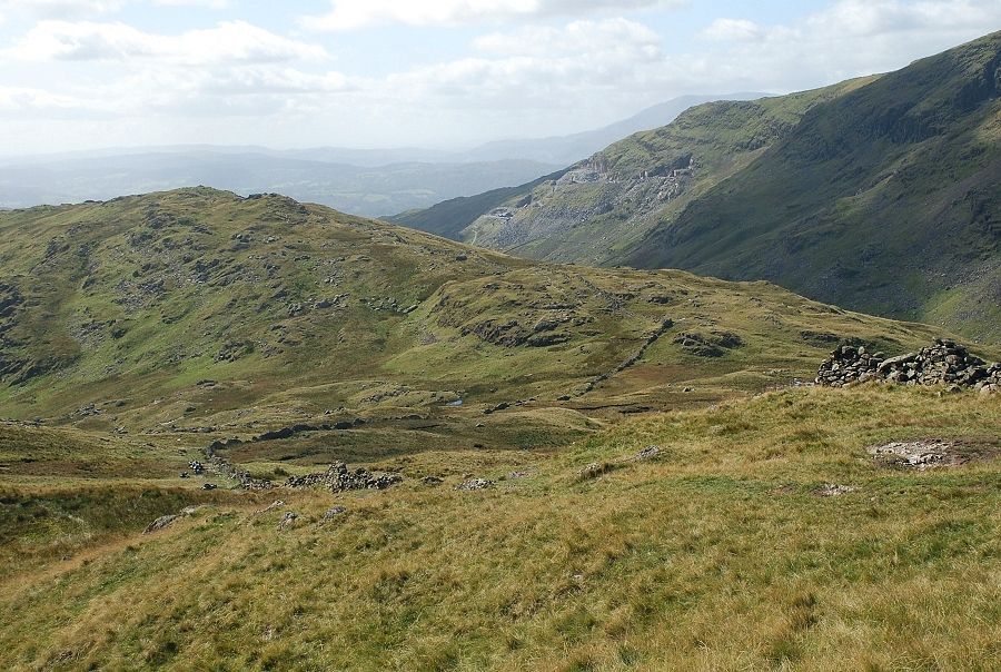
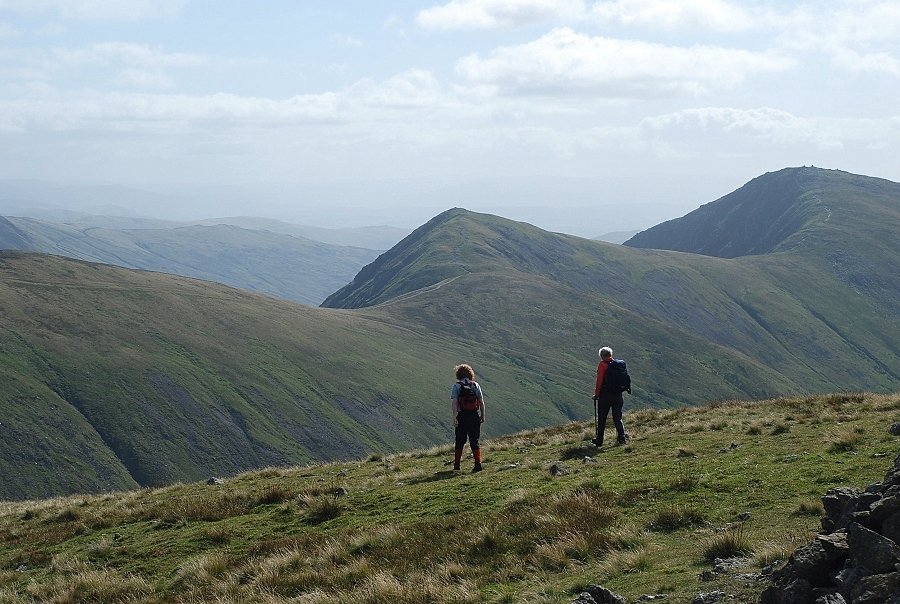
| Descending to the headwaters of Woundale Beck. Pike How, the highest point of the south intermediate ridge on the right skyline |
 |
| Looking back to the headwaters of Woundale Beck and St. Raven's Edge |
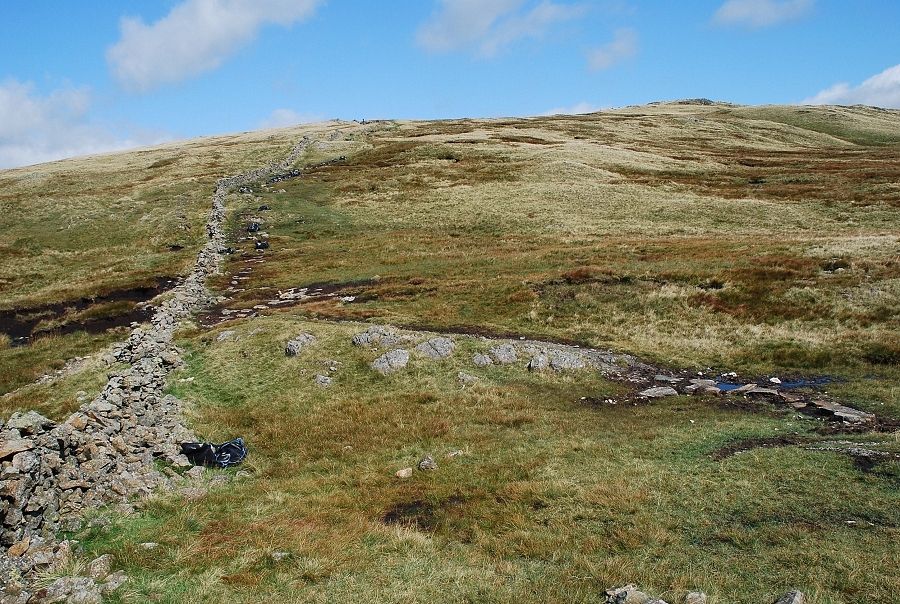 |
| AW described this route as the dullest way to reach the summit, but there can no doubt that it's popular. The path has had to be repaired and realigned by Fix The Fells to prevent erosion of the underlying peat |
 |
| Looking over to Helvellyn above St. Sunday Crag |
 |
| Looking back towards St. Raven's Edge. The extensive path repairs continue for a considerable distance along these lower slopes |
 |
| Looking over to Froswick, Ill Bell and Yoke |
 |
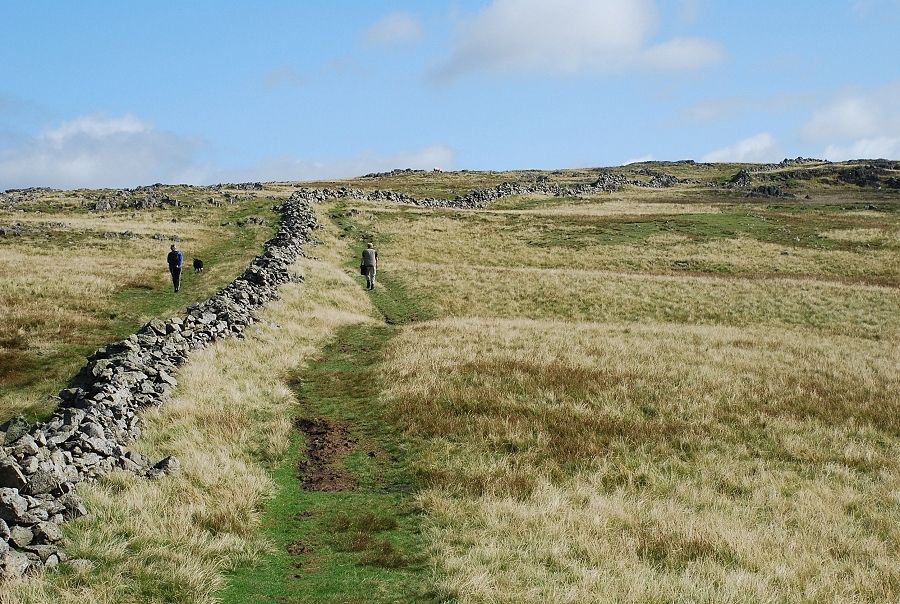
| Approaching the upper slopes of Caudale Moor. Near the point where the wall begins to turn towards the east, an indistinct path leads off towards a large cairn topped by a simple wooden cross, this lies about two hundred yards northwest of the wall |
 |
| Mark Atkinson's Monument. A stone plaque set into the cairn, its lettering now very worn, is inscribed 'Hic jacet Mark Atkinson of Kirkstone Pass Inn, died 14 June 1930 aged 69 years' Next to it is another plaque inscribed 'Also his son William Ion Atkinson, died 2nd April 1987 aged 83 years' It seems odd that they should chose to have their ashes placed in such a remote place as this, until........... |
 |
| ....you turn around to see the Kirkstone Pass Inn far below in the distance. The Atkinson family owned and ran the Inn for many years, having purchased it in 1914, the monument is clearly visible from the Inn on the skyline of Caudale Moor |
 |
| Rejoin the path beside the wall to continue the ascent |
 |
| Looking back to Mark Atkinson's Monument, seen on the left below Fairfield |
 |
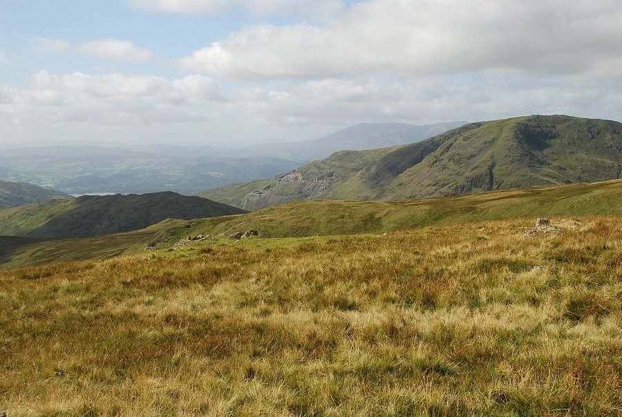
| Near the summit the wall joins with another one that runs in a north~south direction over top of the fell. This is an important feature on this extensive summit plateau and is very useful for determining your position in poor visibility |
 |
| Looking back from the wall intersection. St. Raven's Edge in shadow on the left |
 |
| The summit cairn lies about 100 yards north-east of the wall intersection |
 |
| The summit of Caudale Moor |
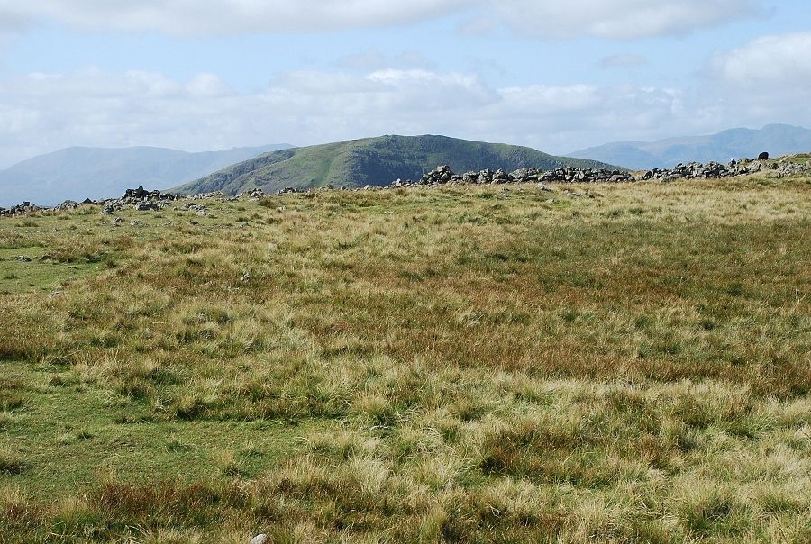 |
| The summit area is very broad which detracts from the view. Looking south west to the Coniston fells on the left, the top of Red Screes in the centre |
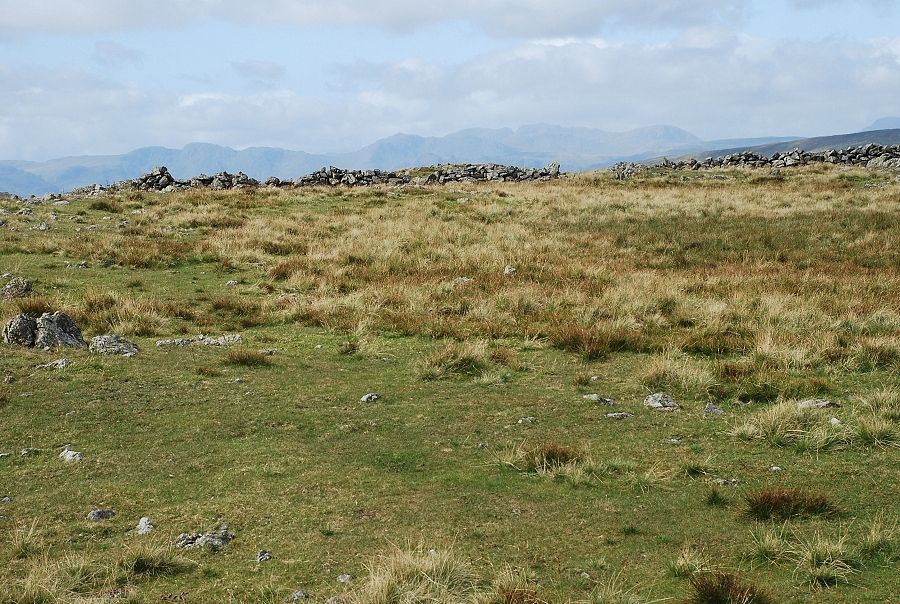 |
| Crinkle Crags, Bowfell and the Scafell range on the distant horizon |
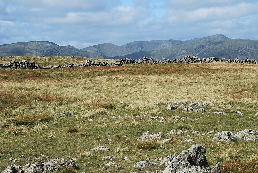 |
| Fairfield, Dollywaggon Pike, Nethermost Pike and Helvellyn on the horizon |
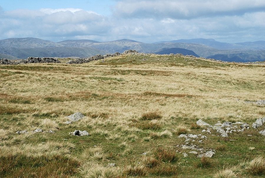 |
| Raise, Stybarrow Dodd and Great Dodd on the left, Blencathra is the highest point on the right |
 |
| Place Fell and Great Mell Fell in the centre, Bowscale Fell and Carrock Fell on the left skyline |
 |
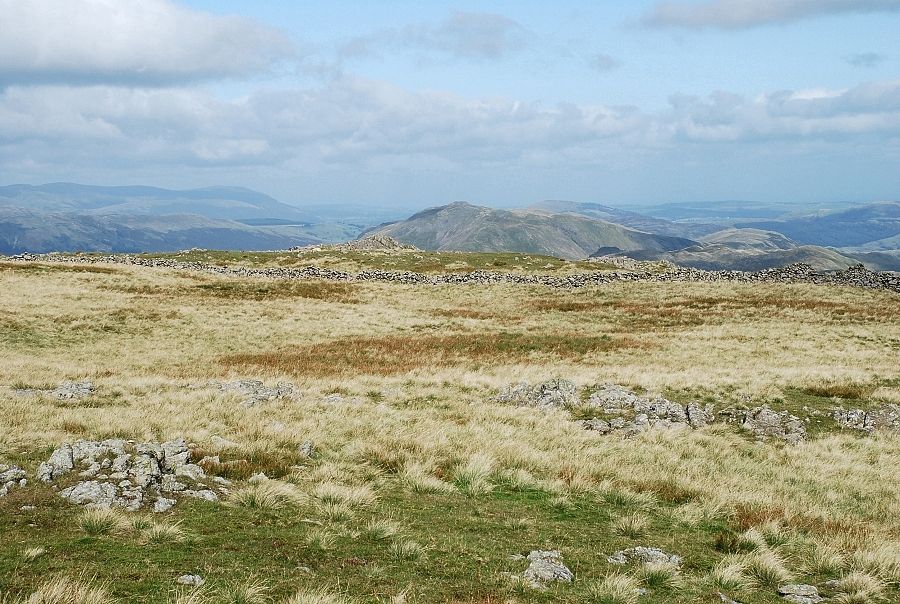
| Gray Crag and Rest Dodd in the centre with Loadpot Hill and Wether Hill on the right skyline |
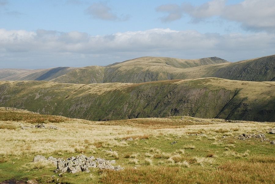 |
| The Knott, Rampsgill Head and Kidsty Pike on the horizon |
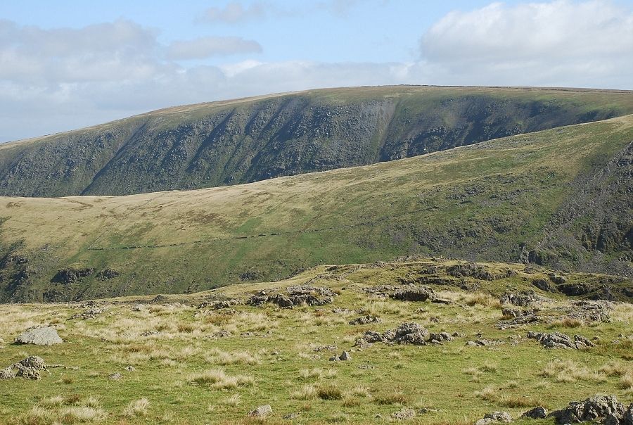 |
| The whaleback ridge of High Street |
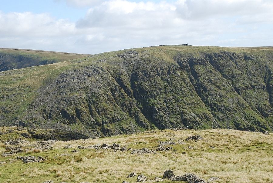 |
| Thornthwaite Crag |
 |
| Froswick and Ill Bell |
|