
| Buckbarrow - Route One |
| Start - Harrow Head NY 127 055 | Distance - 0.9 miles | Ascent - 1,010 feet | Time - 50 minutes |
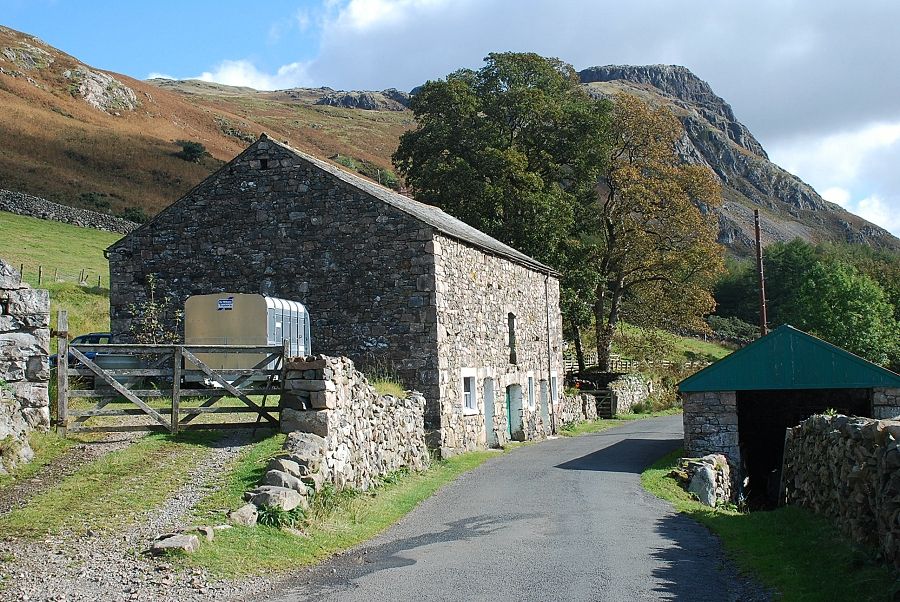 |
| Buckbarrow from Harrow Head Farm. There is room to park a couple of cars 150 yards east of the farm beside the access road to Windsor Farm |
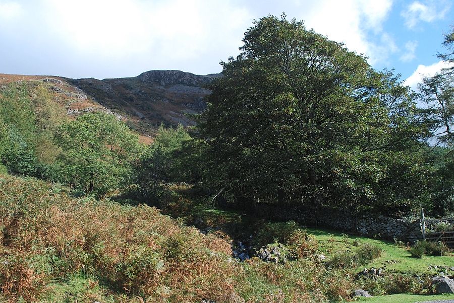 |
| The start of the climb beside Gill Beck located 250 yards east of the parking area |
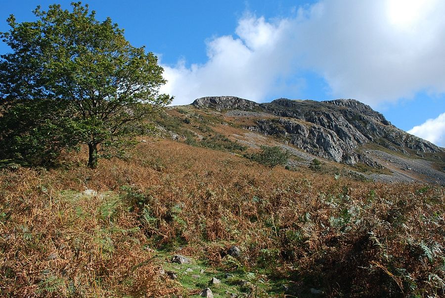 |
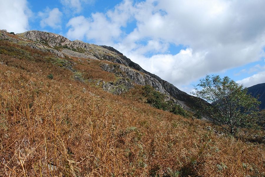
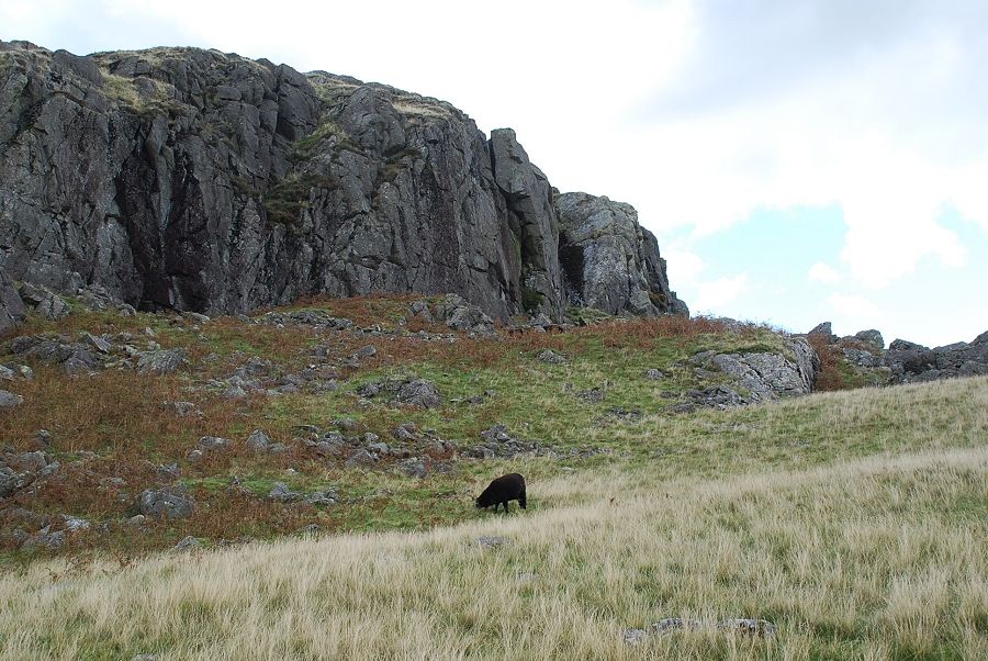
| The crags of Buckbarrow from the start of the climb |
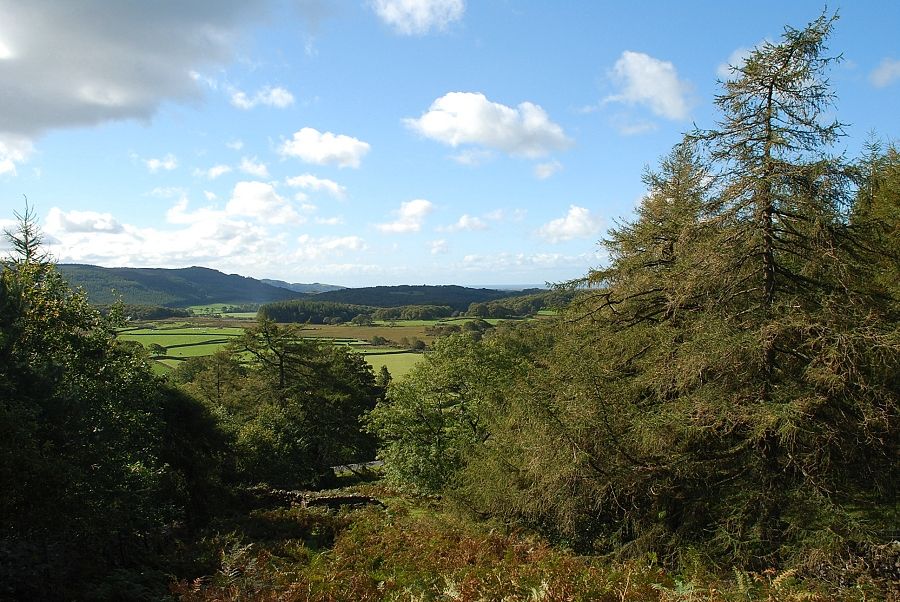 |
| Looking back from the start of the climb |
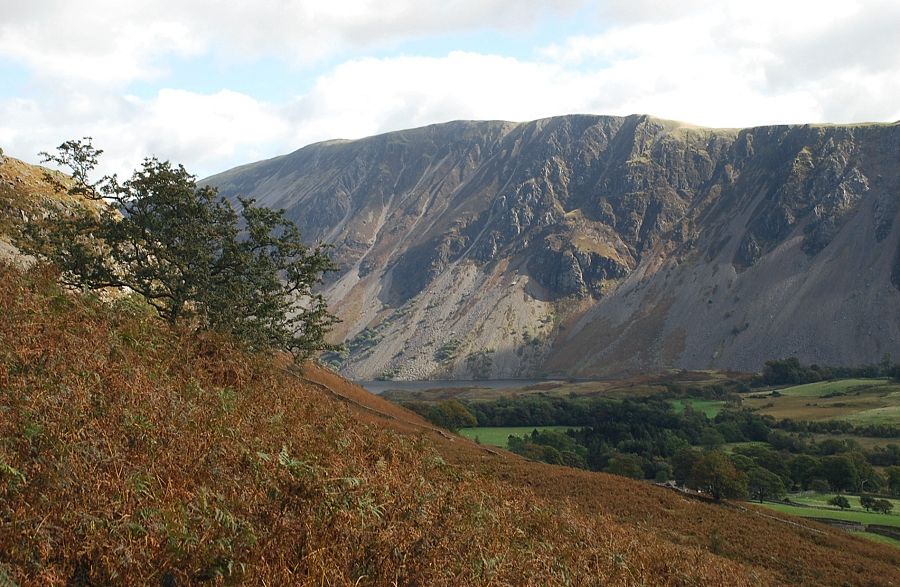 |
| Illgill Head and The Screes |
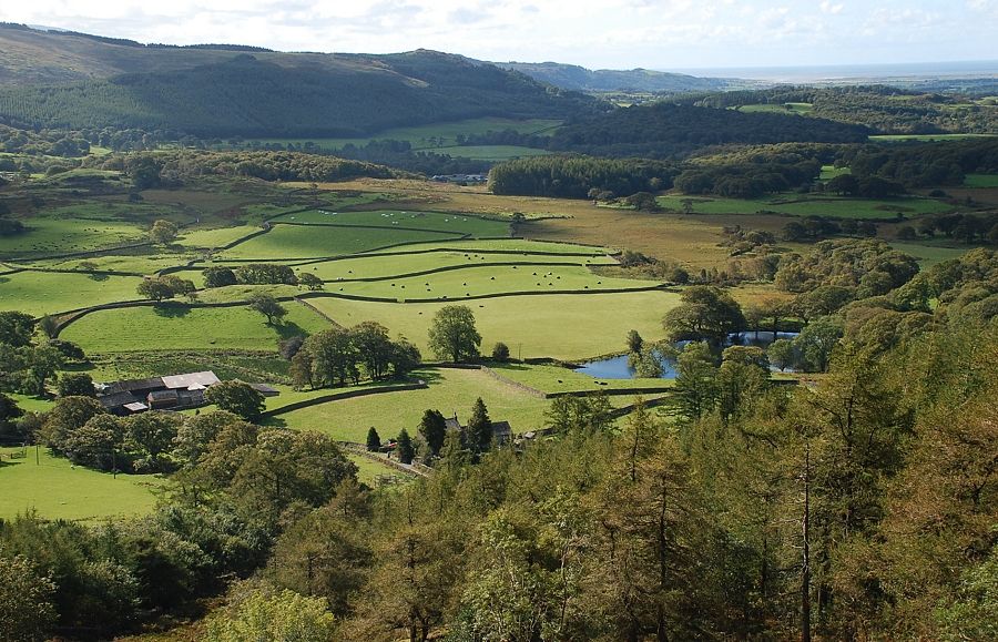 |
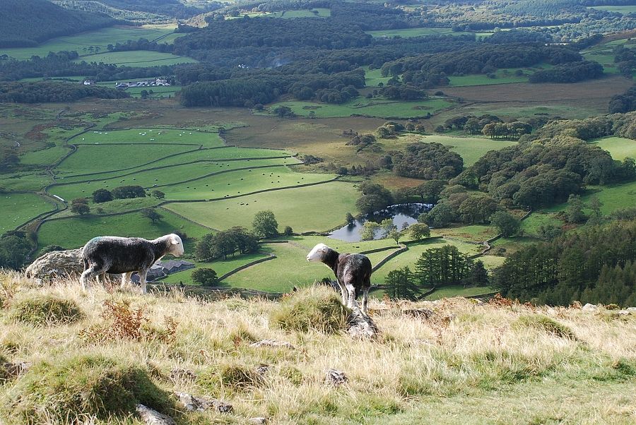
| Looking down to Gill Farm and Tosh Tarn |
 |
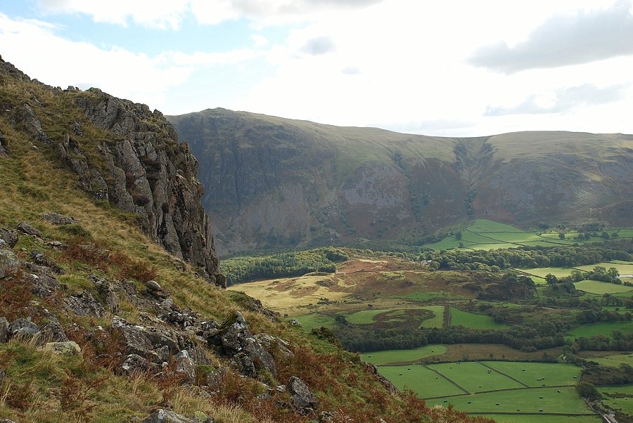
| Long Crag on Buckbarrow from the path alongside Gill Beck |
 |
| Whin Rigg |
 |
| The path follows the course of Gill Beck to below a series of small waterfalls where it leaves it to traverse half right towards Long Crag |
 |
| Gill Farm and Tosh Tarn from below the waterfalls |
 |
| Another beck, this one being nameless, is crossed on the climb below Long Crag |
 |
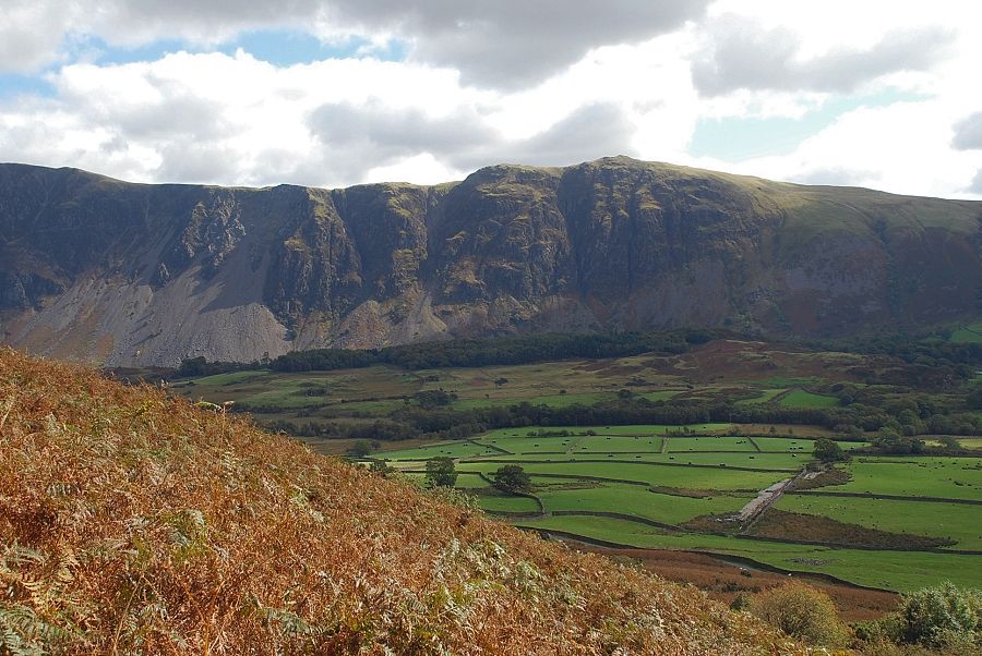
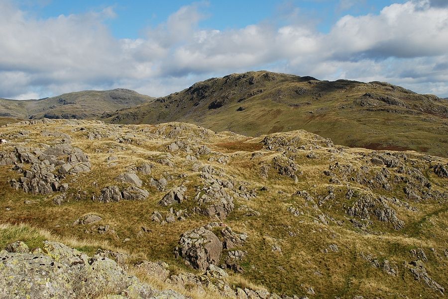
| Whin Rigg and Irton Fell |
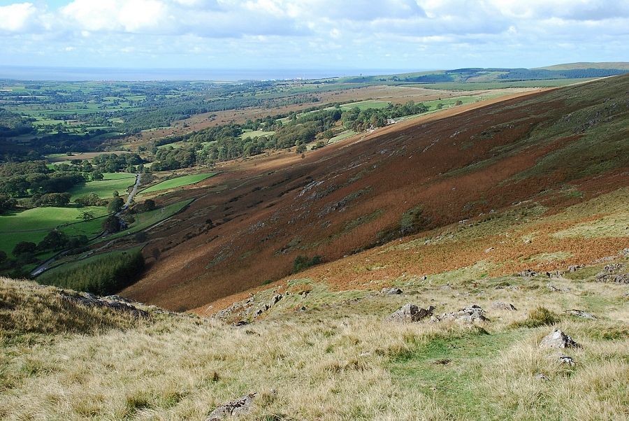 |
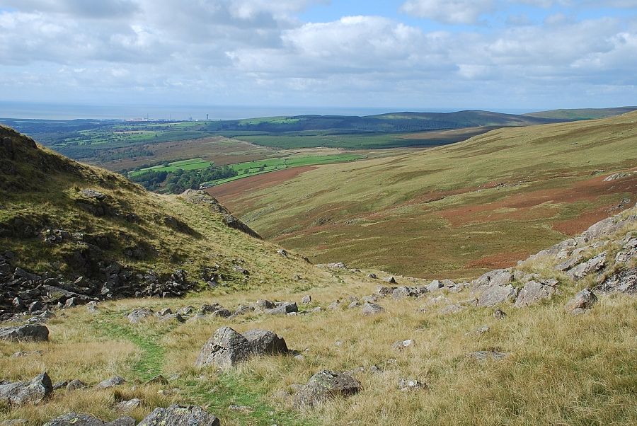
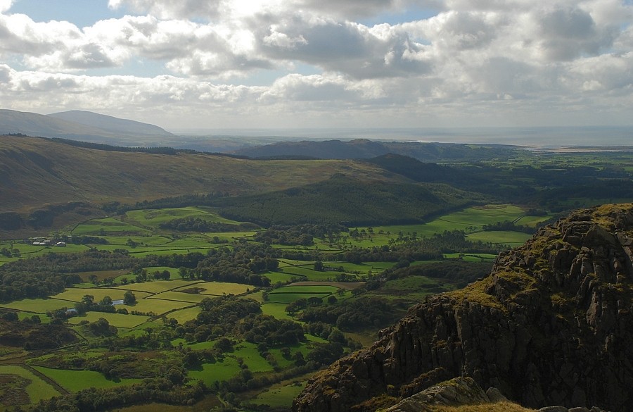
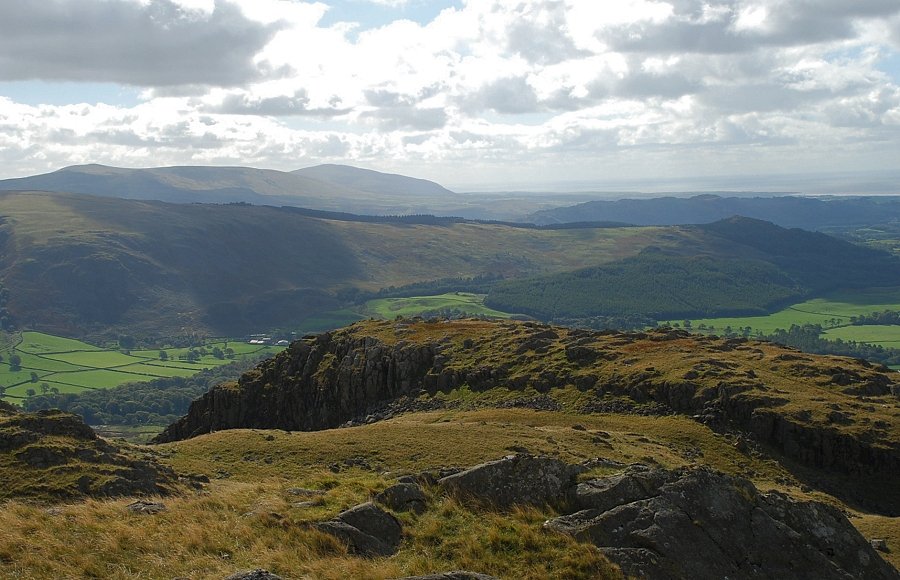
| Looking back to the West Cumbrian coast |
 |
| Looking down to Nether Wasdale and Tosh Tarn |
 |
| The "big sheepfold" which AW noted on his diagram of this ascent |
 |
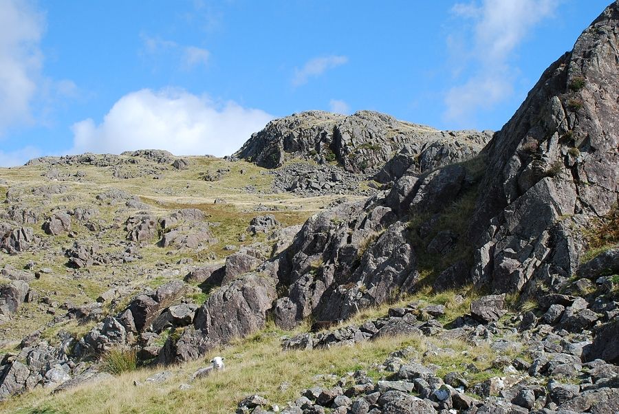
| From the top of Long Crag more open slopes lead towards the rock tors of Pike Crag |
 |
| Looking down to the start of the route from the top of Long Crag |
 |
| Passing the western buttress of Pike Crag |
 |
| The summit of Buckbarrow comes into view |
 |
| The main path climbs towards a shallow col between the summit and the craggy spurs of Pike Crag which overlook Wastwater |
 |
| Looking back along the path |
 |
| To the left of the path is a split boulder which AW noted in his diagram of the ascent |
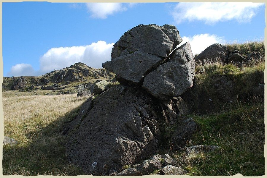 |
| "A perched and split boulder (obviously split after perching, probably by frost or lightning") Buckbarrow - page 3 |
 |
| Looking back to the coast from the split boulder |
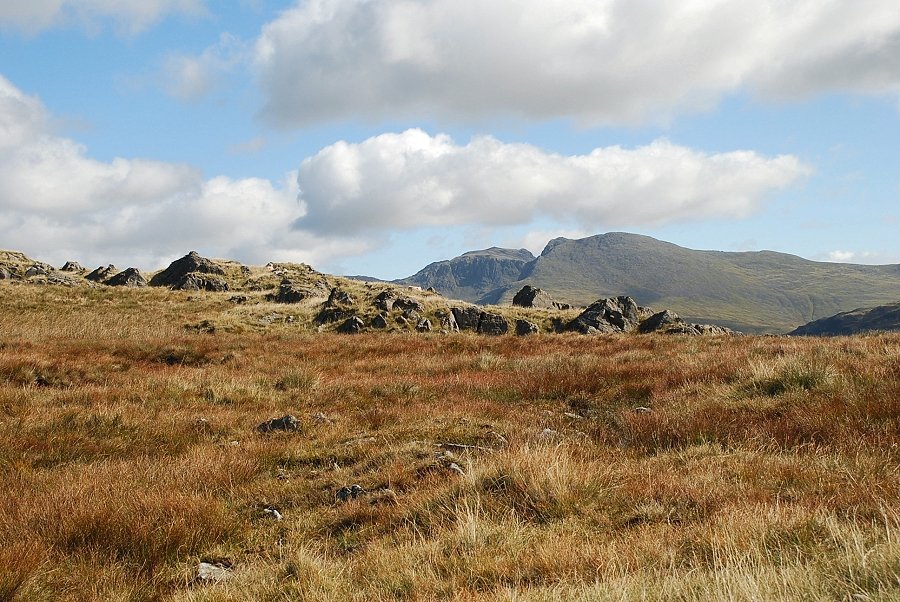 |
| Scafell Pike and Scafell come into view on reaching the col. The best views can be had by visiting the tops of Pike Crag or Bull Crag to the right |
 |
| Red Pike and Middle Fell from the top of Pike Crag |
 |
| The Scafells and Wastwater from Pike Crag, the top of Bull Crag is in the foreground |
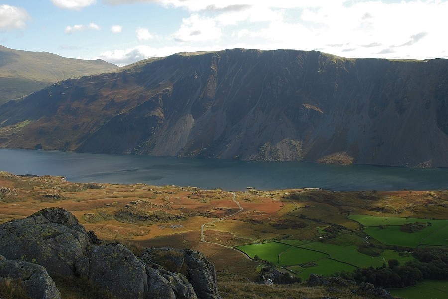 |
| Illgill Head and Wastwater from Pike Crag |
 |
| Whin Rigg from the top of Pike Crag |
 |
| Irton Pike across the fields of Nether Wasdale |
 |
| The summit of Buckbarrow lies a little to the north of Pike Crag |
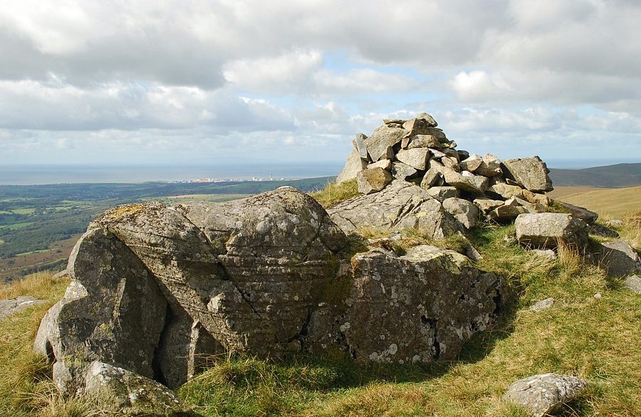 |
| The summit cairn of Buckbarrow |
 |
| Red Pike and Middle Fell from the summit of Buckbarrow |
 |
| The Scafells and Wastwater from the summit of Buckbarrow |
 |
| Illgill Head from the summit of Buckbarrow |
 |
| Whin Rigg from the summit of Buckbarrow |
 |
| Irton Fell and Irton Pike with Black Combe on the horizon |
 |
| Seatallan from the summit of Buckbarrow. The path in the foreground leads to Glade How which is about 30ft higher than the summit |
 |
| Approaching the top of Glade How |
 |
| The cairn on Glade How Buckbarrow - page 3 |
|