|
| The walk starts from the summt of the Corney Fell Road where there is room to park for half a dozen cars on the wide verge |
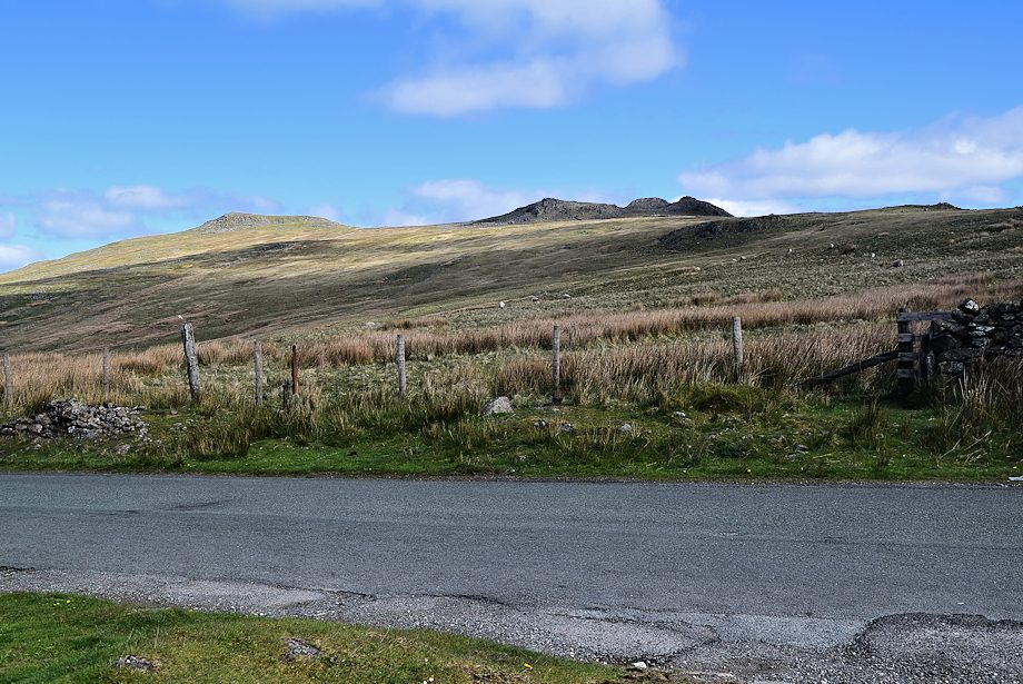 |
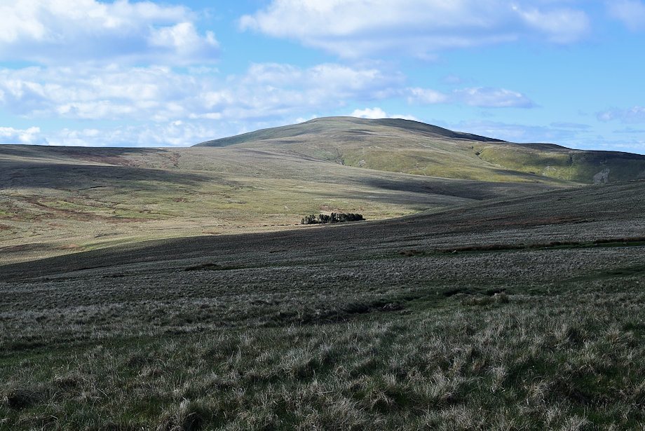
| Kinmont Buck Barrow, Great Paddy Crag and Buck Barrow from the parking area |
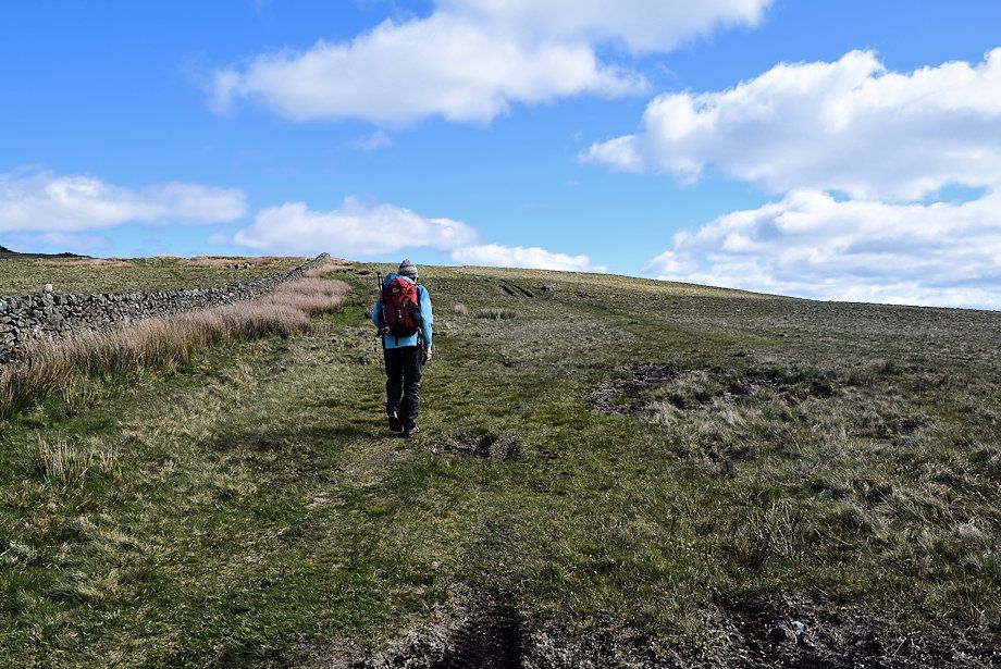 |
| Setting out on the path to the summit which initially follows the course of a drystone wall |
 |
| Looking back towards Black Combe and Stoneside Hill |
 |
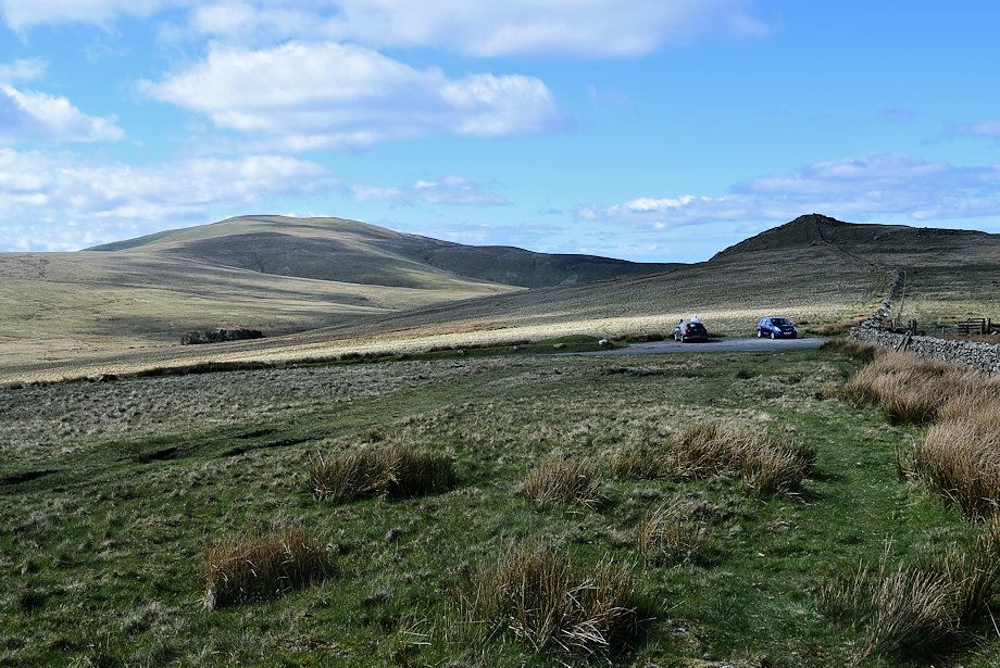
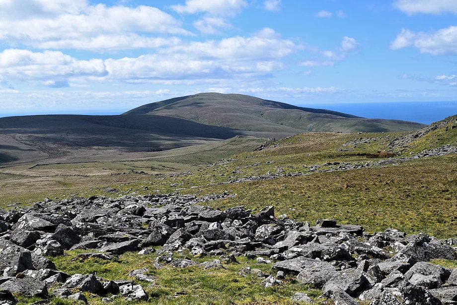
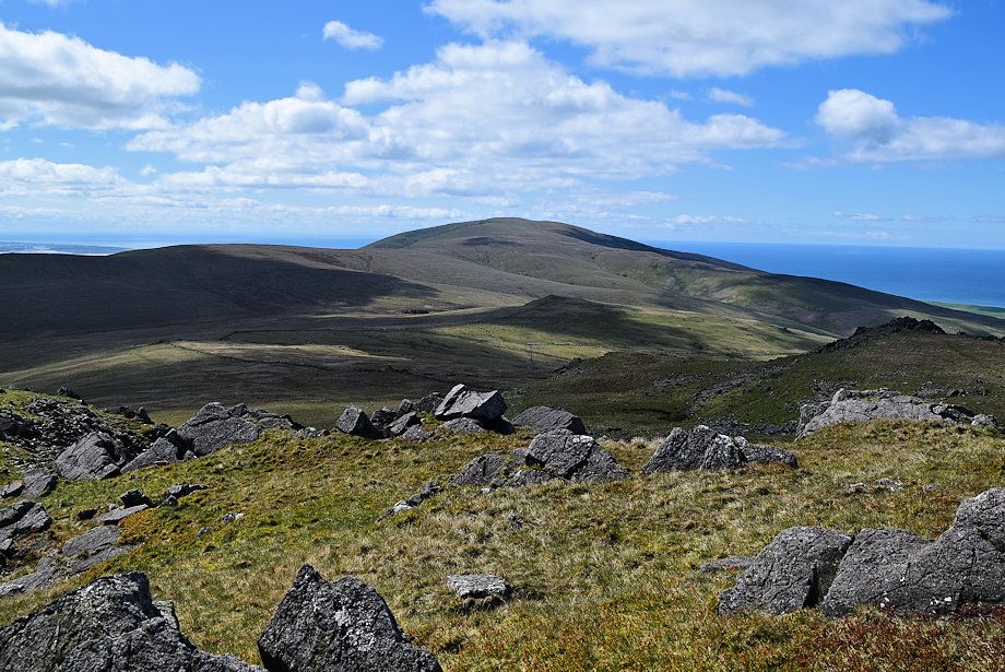
| Kinmont Buck Barrow, Great Paddy Crag and Buck Barrow from the path alongside the wall |
 |
| Black Combe |
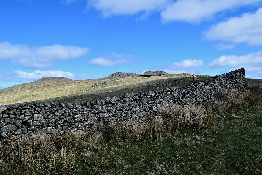 |
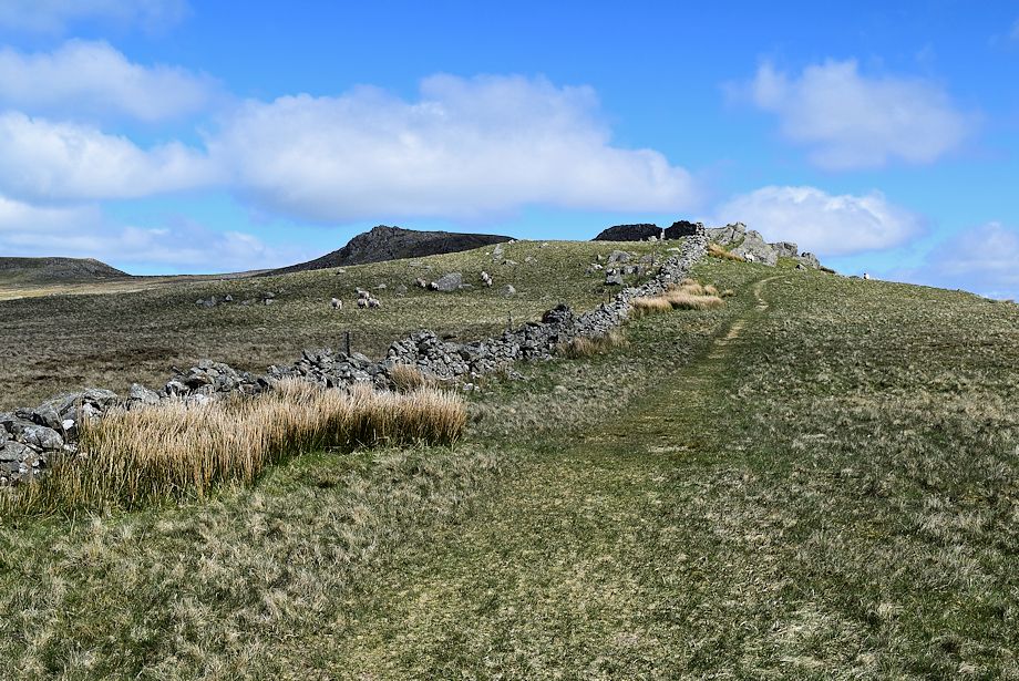
| The wall turns to the north on reaching a sharp corner |
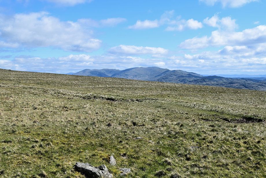 |
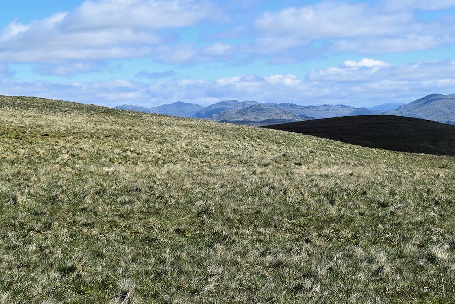
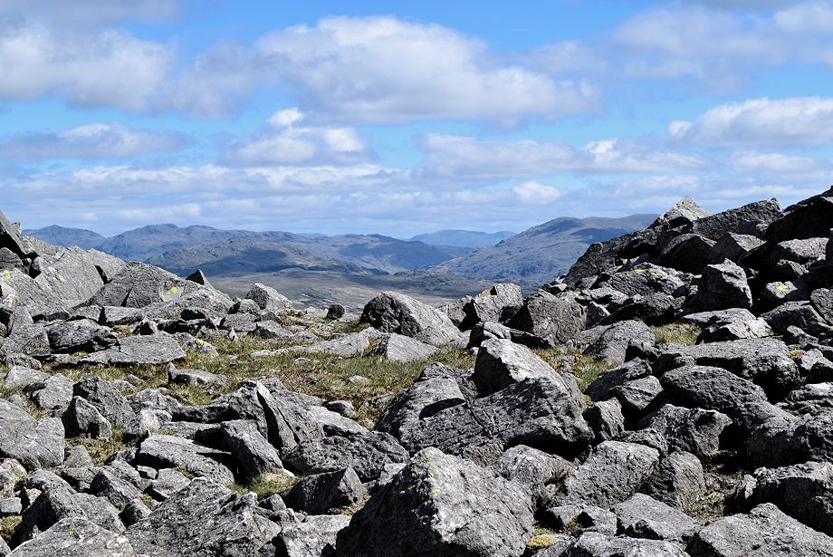
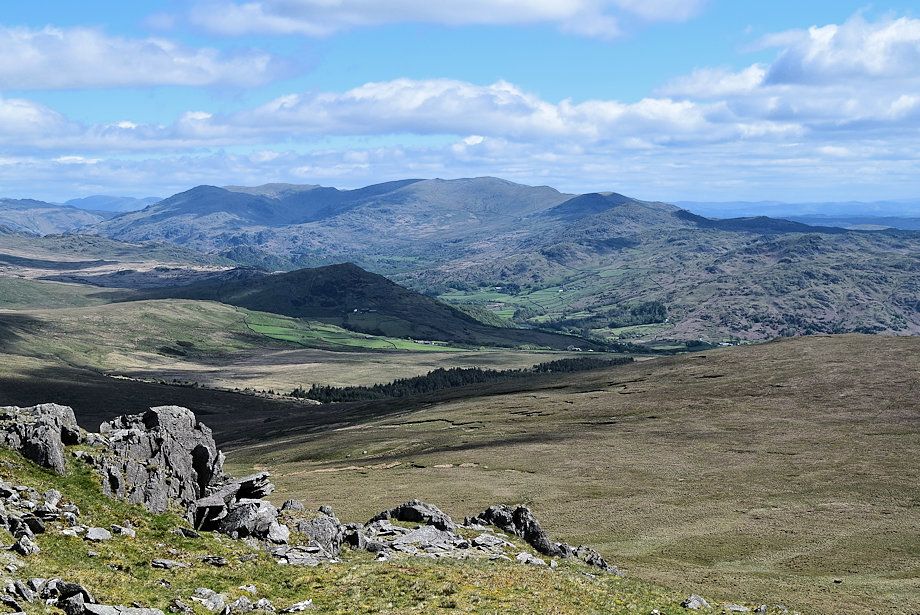
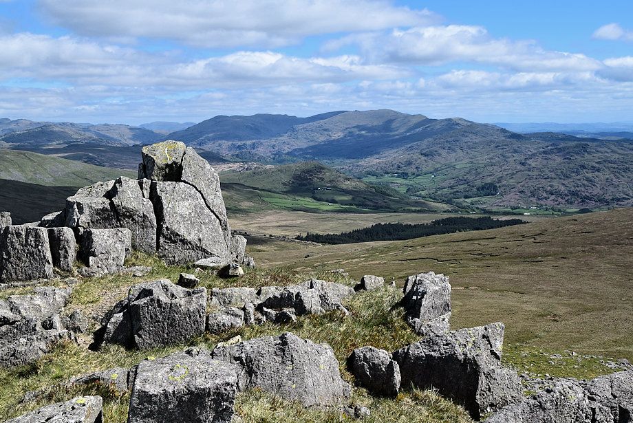
| Looking over to The Coniston Fells |
 |
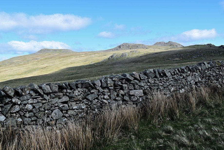
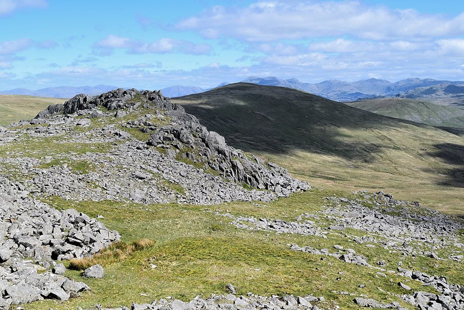
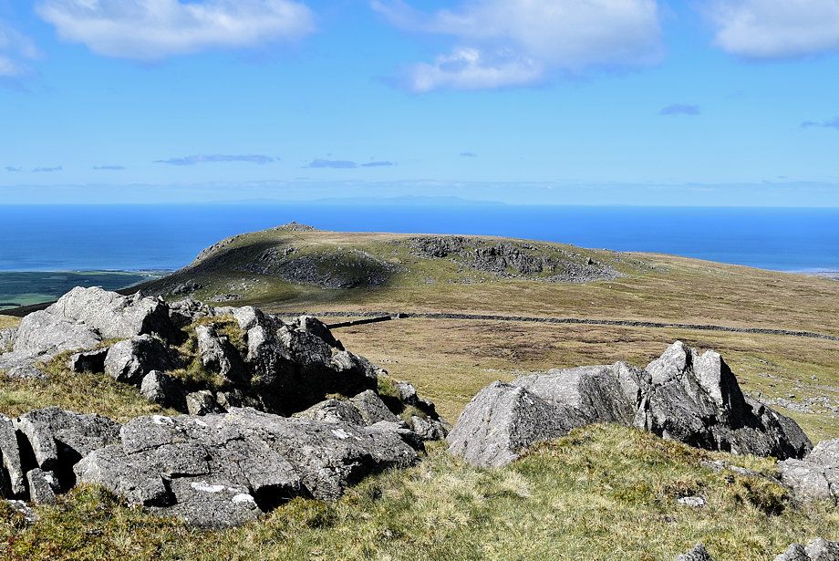
| Great Paddy Crag and Buck Barrow from the wall corner |
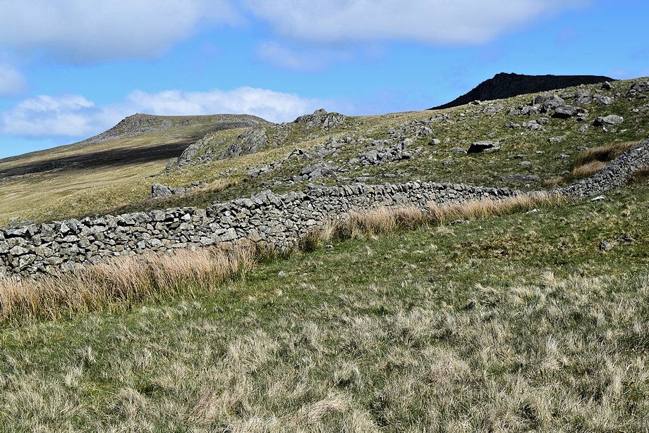 |
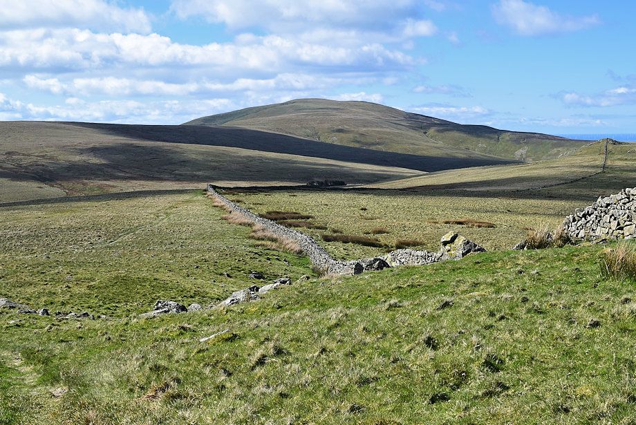
| Passing below Peg Crag |
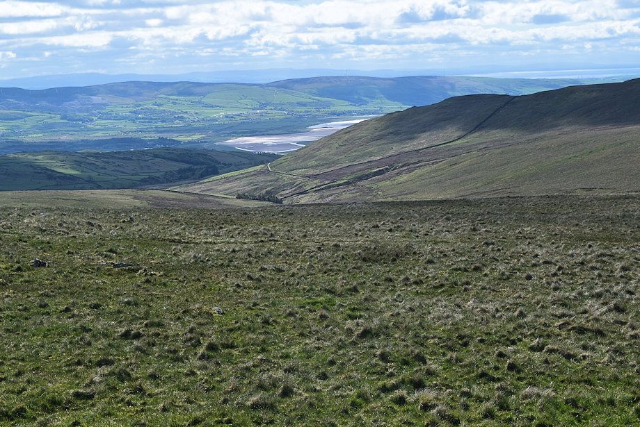 |
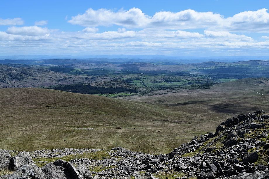
| Looking back over Swinside Fell to the Furness Peninsula |
 |
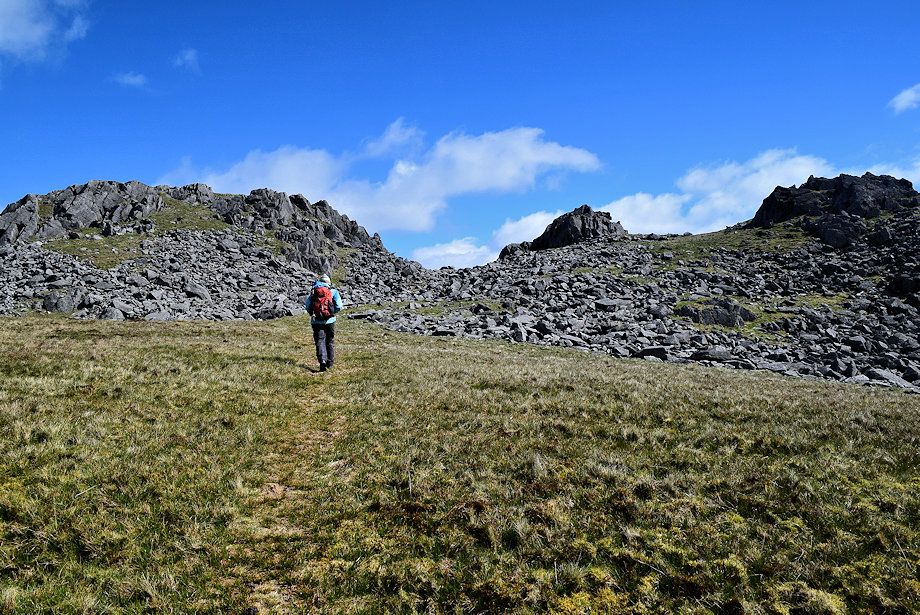
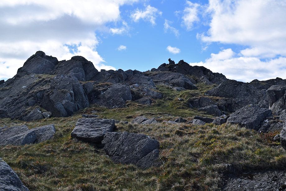
| The steepest part of this otherwise gentle ascent rises towards a rock outcop |
 |
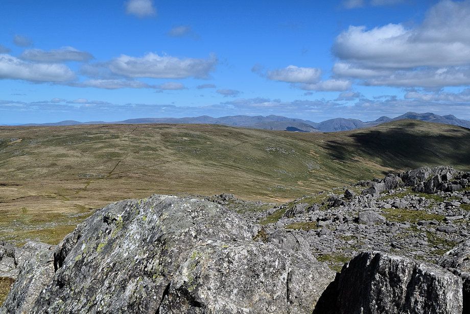
| Esk Pike, Bowfell and Crinkle Crags make an appearance |
 |
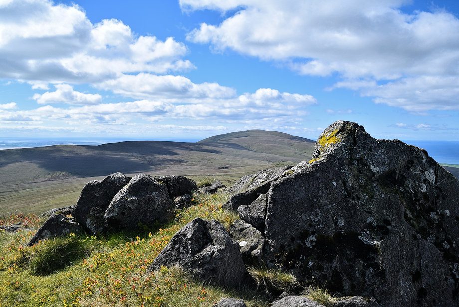
| Black Combe from the rock outcrop |
 |
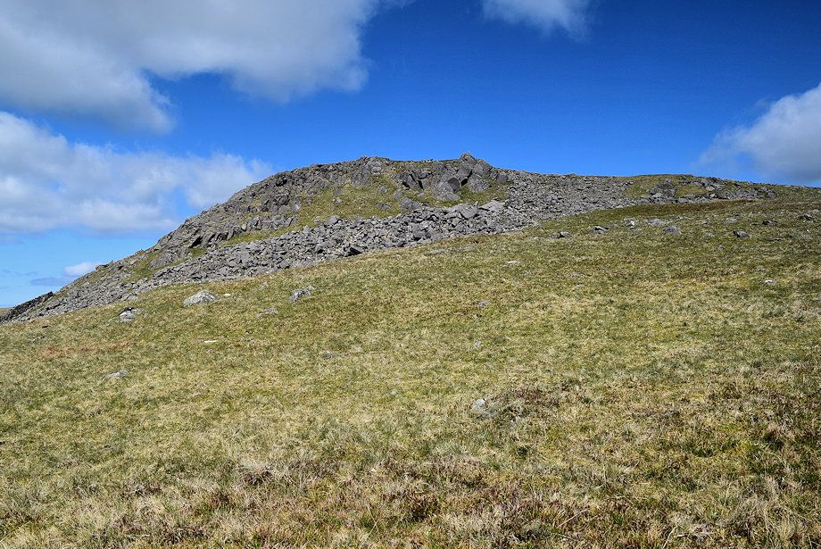
| Beyond the rock outcrop the path turns away from the wall to cross the col between Great Paddy Crag and Buck Barrow |
 |
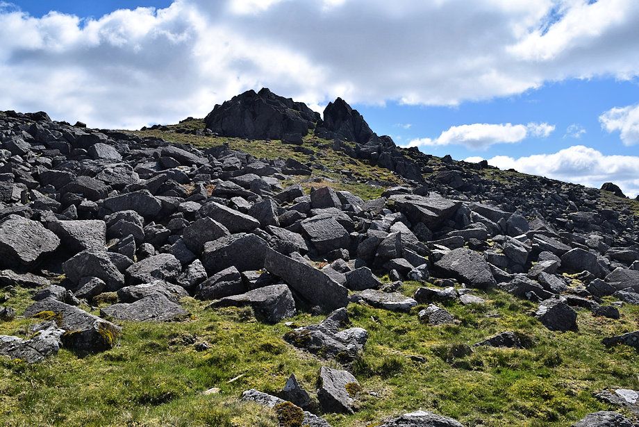
| Great Paddy Crag from the climb to the col |
 |
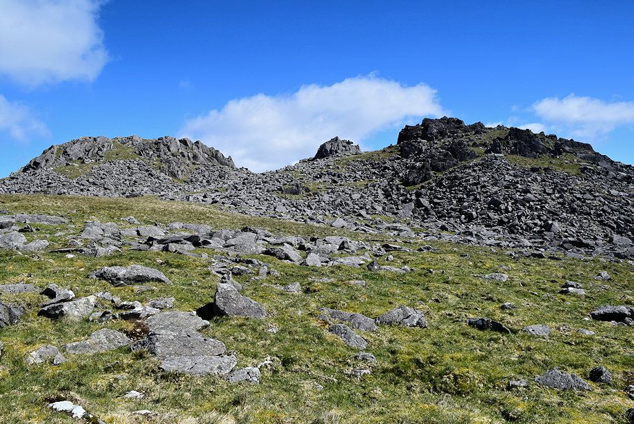
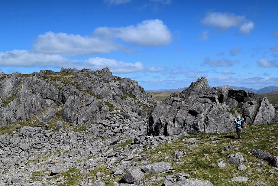
| Heading over to Buck Barrow, the main summit is on the left, the lower south top on the right with the rock turret in the centre, all are defended by an extensive band of rocks and large boulders. The first obective is to reach the low col between the main summit and the rock turret then traverse below the turret to the south top |
 |
| The south top from the climb to the col |
 |
| Black Combe from the climb to the col |
 |
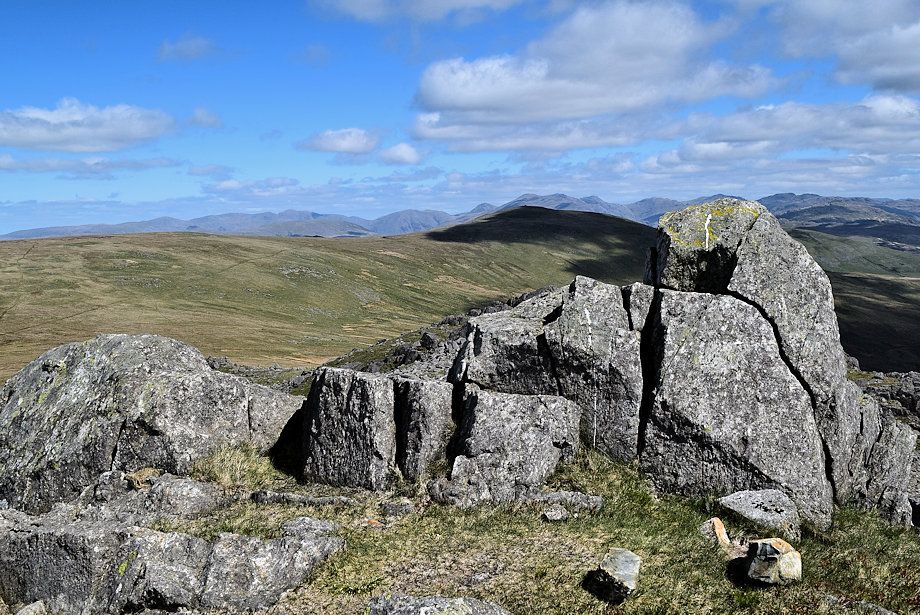
| The distant Fairfield group of fells on the central horizon from the col |
 |
| Climbing up to the south top |
 |
| The main summit and the rock turret from just below the south top |
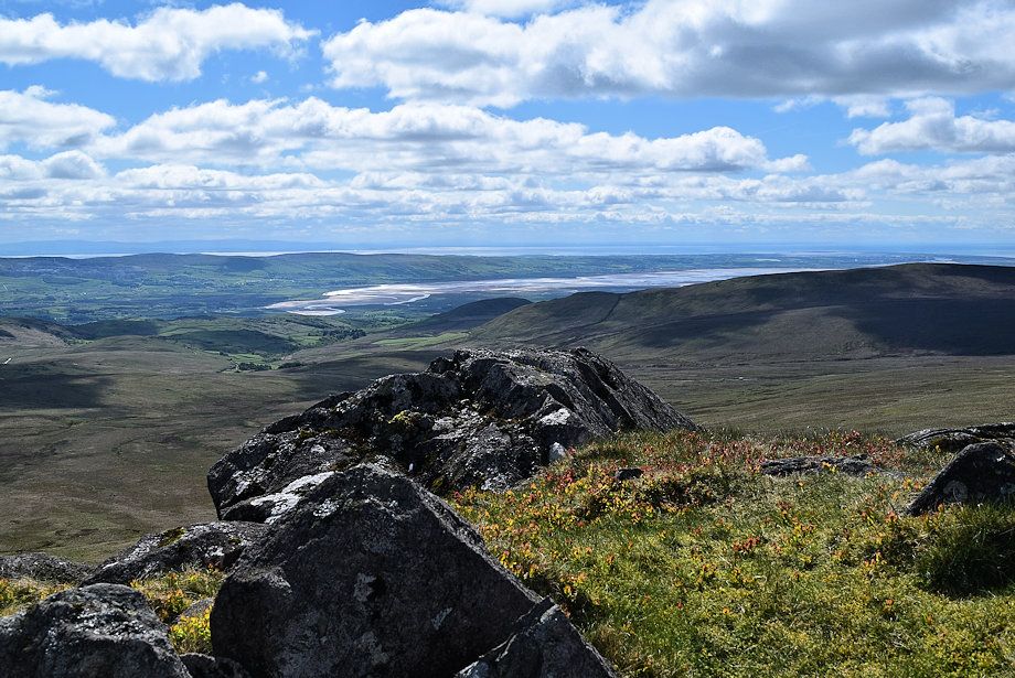 |
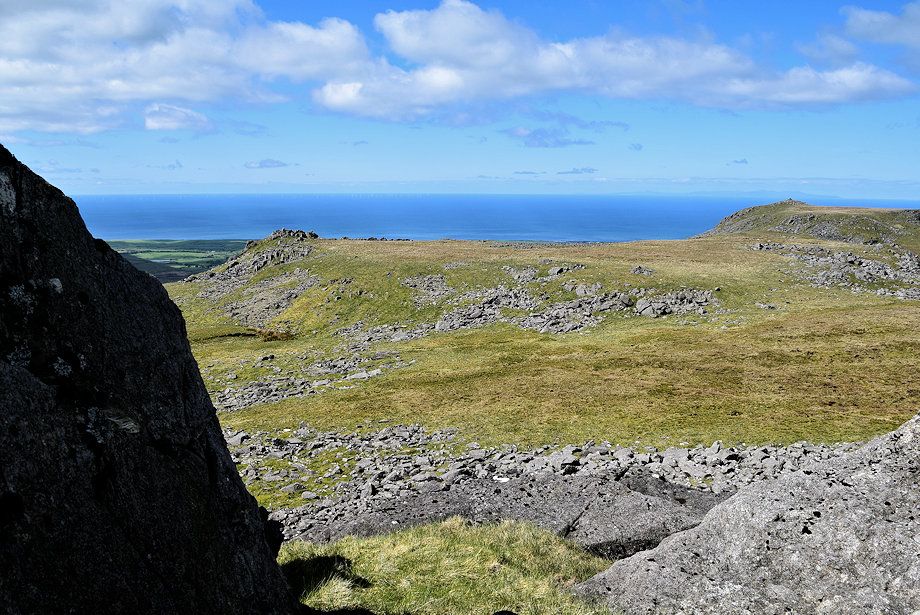
| The Furness Peninsula and the Duddon Estuary from the south top |
 |
| Stoupdale Head and Black Combe from the south top |
 |
| Great Paddy Crag from the south top |
 |
| Kinmont Buck Barrow from the south top |
 |
| Great Gable, Scafell, Scafell Pike, Esk Pike, Bowfell and Crinkle Crags across Whit Fell |
 |
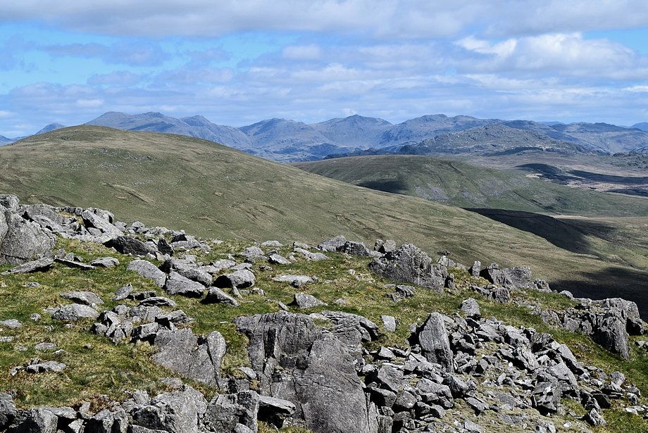
| The Coniston Fells from the south top |
 |
| The main summit from below the rock turret |
 |
| A grassy rake on the eastern side of the main summit provides an easier start up to the top |
 |
| Buckbarrow Crag (Guide Crag) and Whit Fell from the grassy rake |
 |
| Approaching the summit of Buck Barrow |
 |
| Looking back from the climb to the summit |
 |
| The Pennines on the horizon from the summit of Buck Barrow |
 |
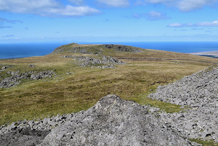
| The Dudddon Estuary over the rock turret and the south top from the summit of Buck Barrow |
 |
| Black Combe from the summit of Buck Barrow |
 |
| Kinmont Buck Barrow from the summit of Buck Barrow |
 |
| Burn Moor from the summit of Buck Barrow |
 |
| Whit Fell from the summit of Buck Barrow |
 |
| The Coniston Fells from the summit of Buck Barrow |