 |
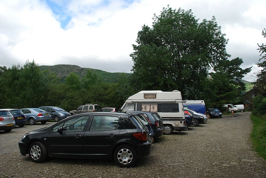
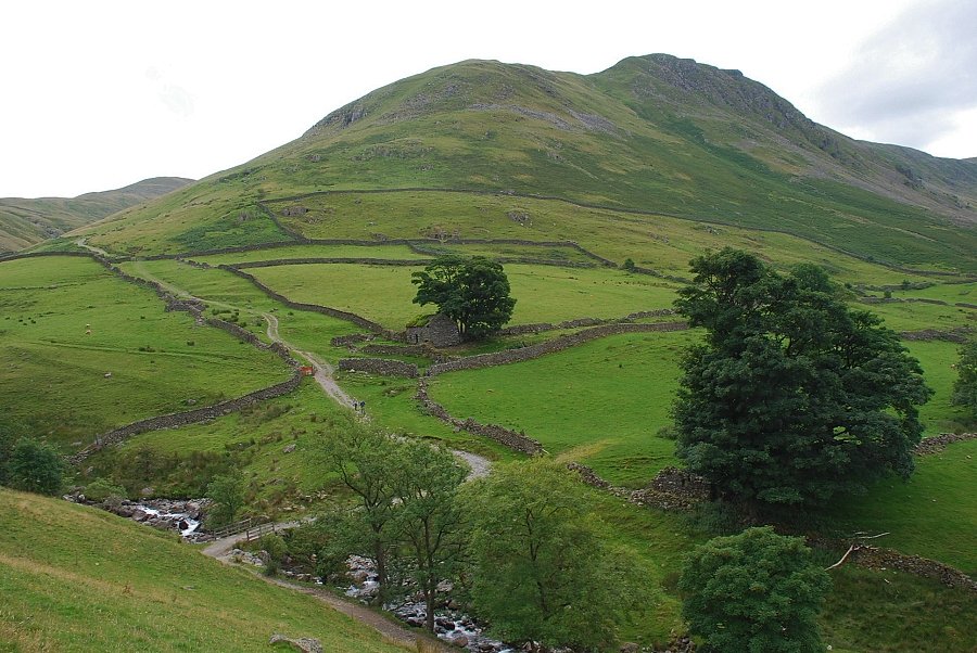
| Hartsop Village car park is the starting point for this walk |
 |
| A gate at the end of the car park gives access to a rough track which leads on towards Hayeswater Gill. Gray Crag dominates the view ahead |
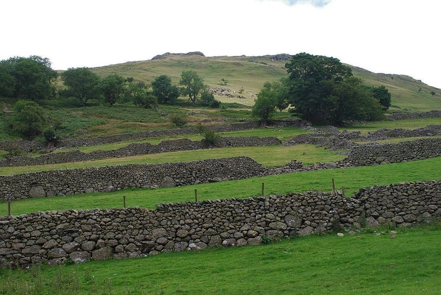 |
| Looking up to Brock Crags from the track. Walled enclosures prevent a direct ascent from the car park |
 |
| Looking back to the car park from the Hayeswater filter house access road |
 |
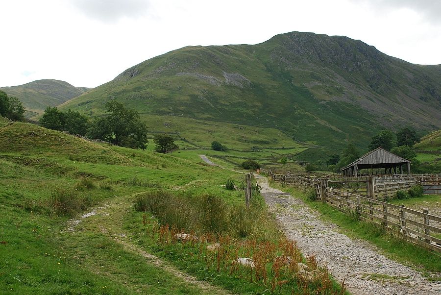
| Beyond a gate a track turns off to the right and descends to Hayeswater Gill bound for the reservoir. The road to the filter house continues straight ahead |
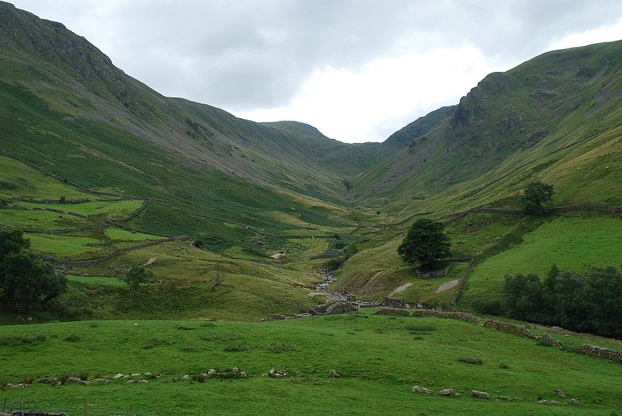 |
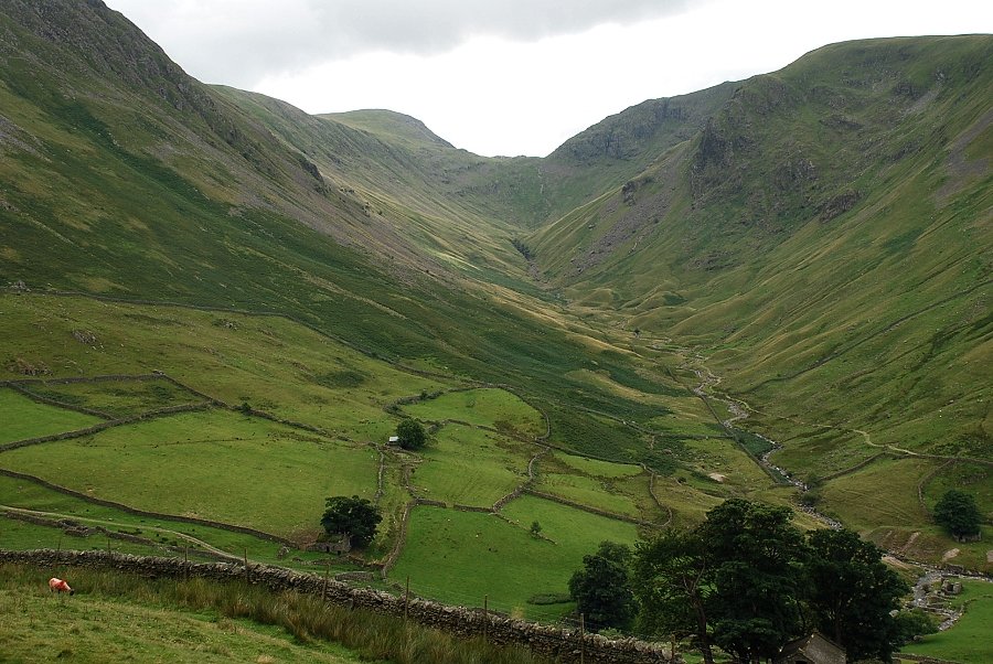
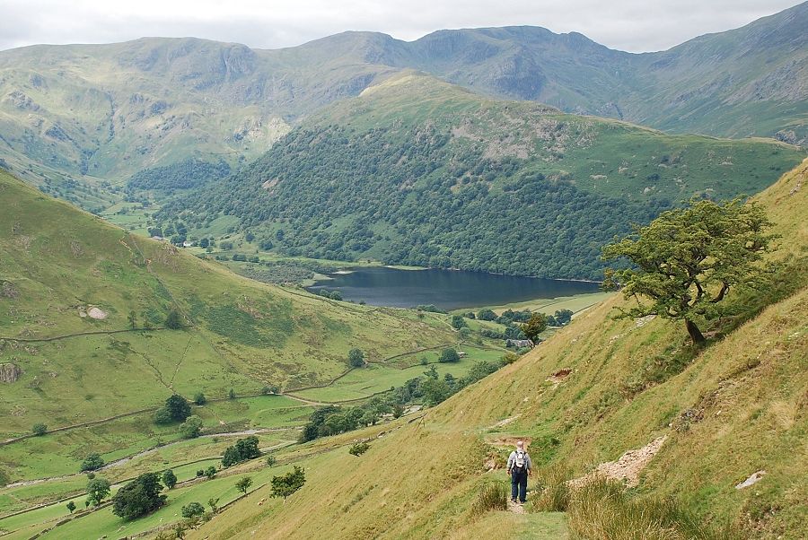
| Pasture Beck from the filter house road. Threshthwaite Mouth is at the head of the valley which is deeply enclosed by the slopes of Gray Crag on the left and Caudale Moor on the right. The ruins in the centre foreground are part of the old Myers Head lead mine which was abandoned in 1879 |
 |
| Looking over Hayeswater Gill to Gray Crag and the track leading to Hayeswater |
 |
| Colourful sheep on the road to the filter house! A patch of sunlight illuminates Prison Crag on the left with The Knott above the head of the gill |
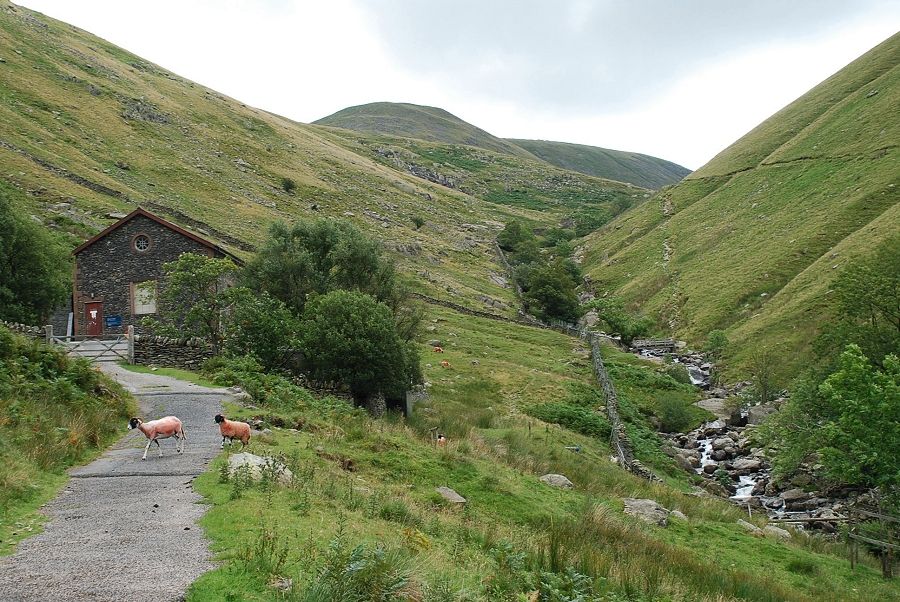 |
| The Hayeswater filter house with The Knott above the head of Hayeswater Gill |
 |
| From the filter house a fairly level path cuts back across the southern slopes of Brock Crags above the access road. This is the course of the 'cut and covered' Hayeswater viaduct which crosses the fellside above the walled enclosures |
 |
| Looking back from the viaduct path to the filter house and Hayeswater Gill |
 |
| St Sunday Crag from the viaduct path with Hart Crag and Fairfield on the left skyline |
 |
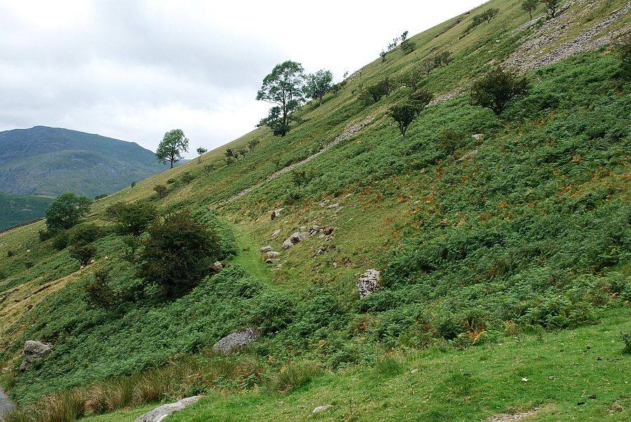
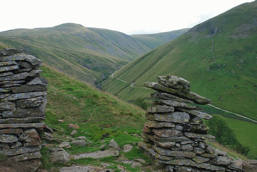
| Higher on the viaduct path approaching the topmost walled enclosure. A hundred yards beyond the far wall a path doubles back and climbs more steeply across the southern slopes of Brock Crags towards Calfgate Gill |
 |
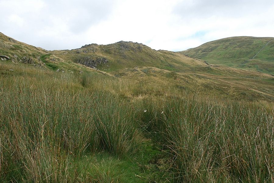
| The path starts as a rutted groove which rises towards a ruined wall |
 |
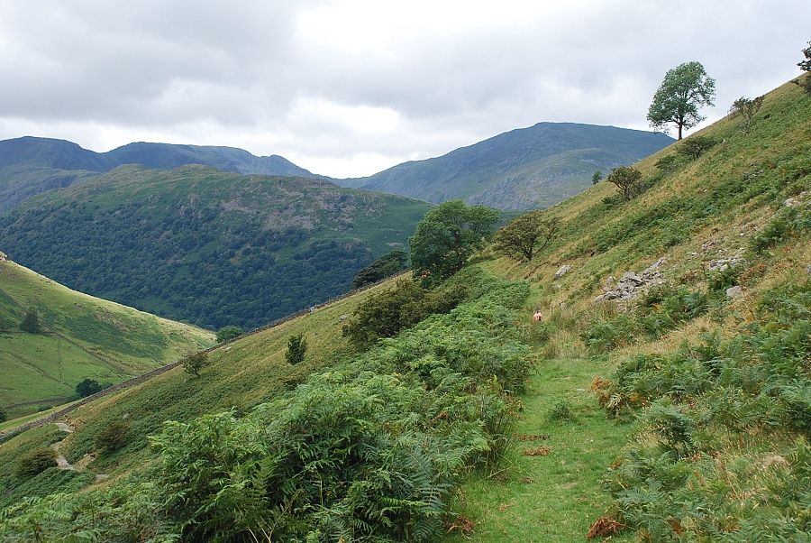
| The valley of Pasture Beck from the start of the path |
 |
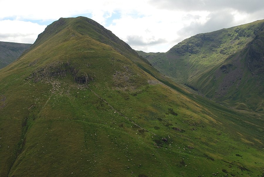
| The Knott from the ruined wall. The course of the wall can be followed from this point to make a very steep direct ascent to the summit. A much easier option is to continue with the path across the southern slopes |
 |
| Brothers Water from the ruined wall |
 |
| Higher on the path approaching Calfgate Gill |
 |
| Hayeswater comes into view |
 |
| Looking back to Brothers Water from the upper part of the path. Dove Crag, Hart Crag and Fairfield are the fells on the horizon |
 |
| Satura Crag and Rest Dodd come into view as the path crosses the top of Calfgate Gill |
 |
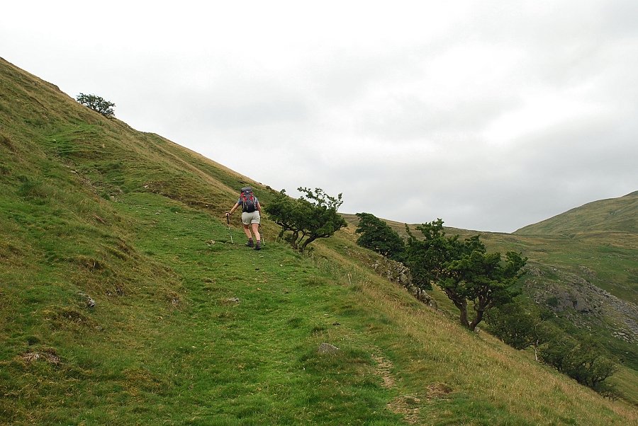
| The path passes a line of old fence posts then turns up the eastern slopes of Brock Crags |
 |
| Hayeswater and High Street from the eastern slopes of Brock Crags |
 |
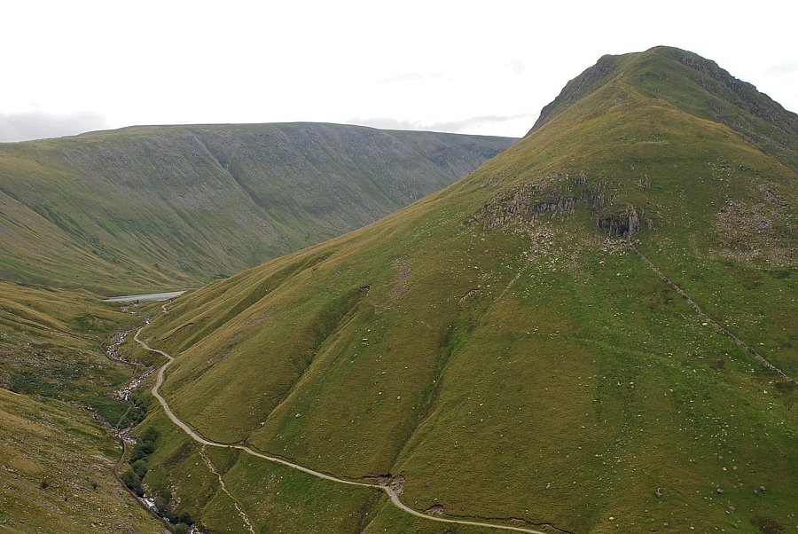
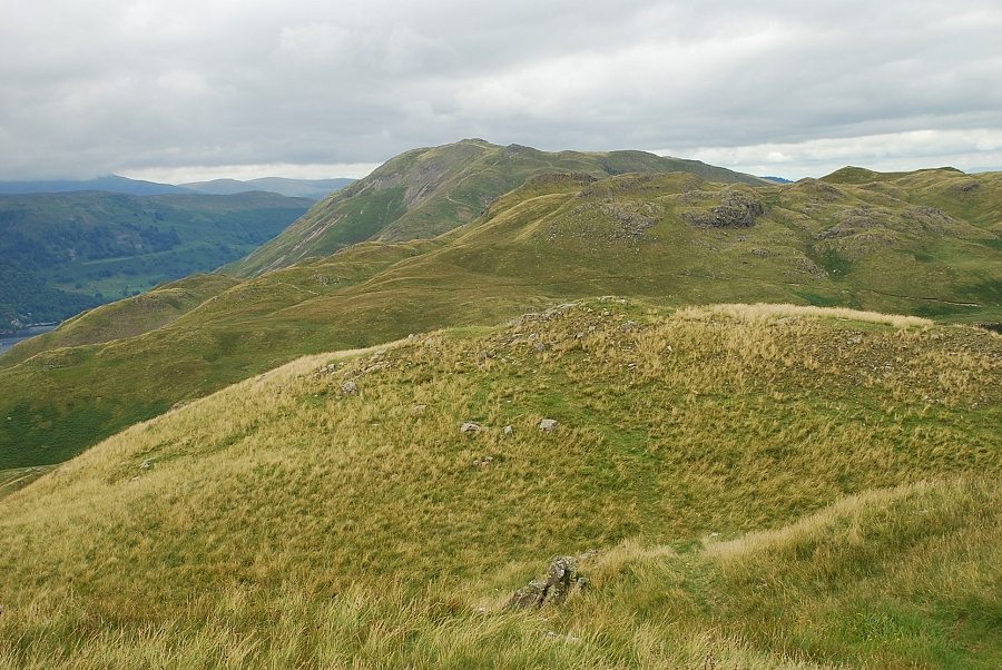
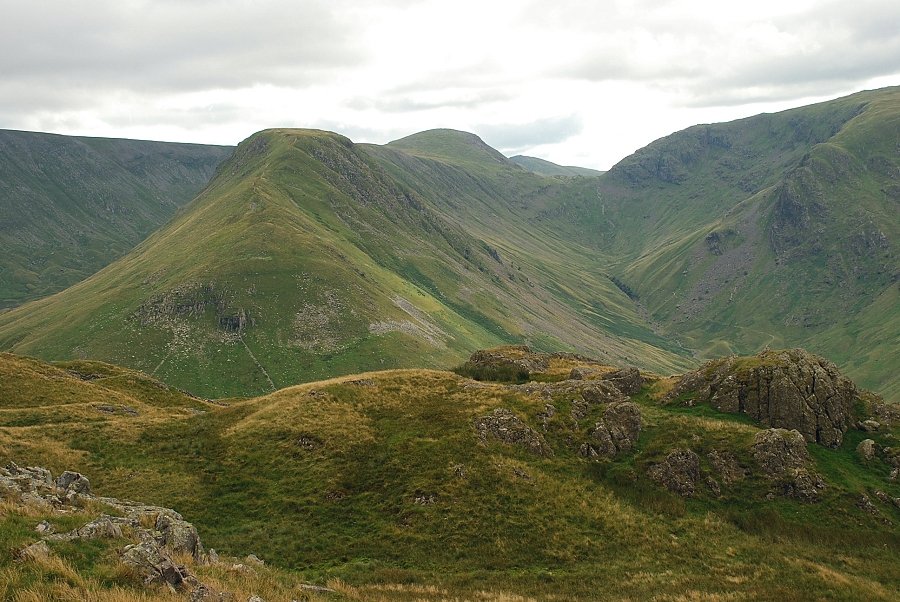
| Gray Crag and Threshthwaite Mouth from the eastern slopes of Brock Crags |
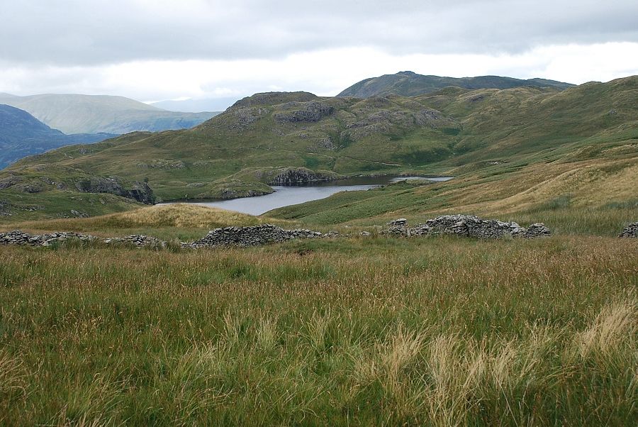 |
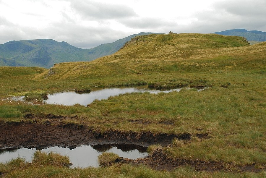
| Angle Tarn from the eastern slopes of Brock Crags |
 |
| The summit comes into view |
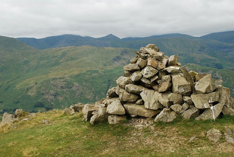 |
| The summit cairn of Brock Crags |
 |
| Cloud covers Helvellyn, White Side and Raise with Catstycam standing clear |
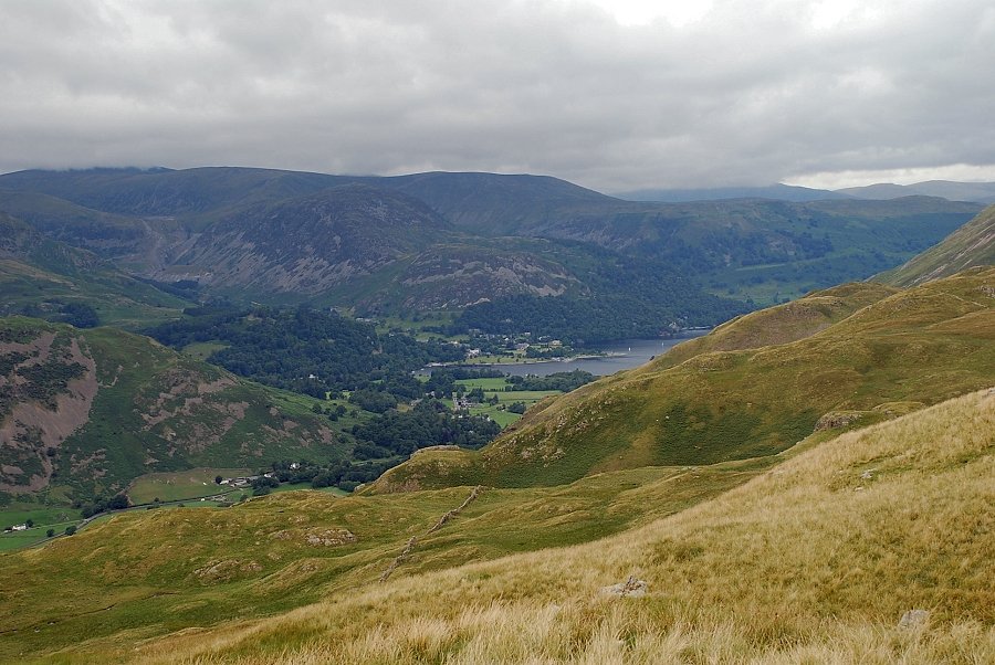 |
| Glenridding and part of Ullswater |
 |
| Place Fell over Angletarn Pikes |
 |
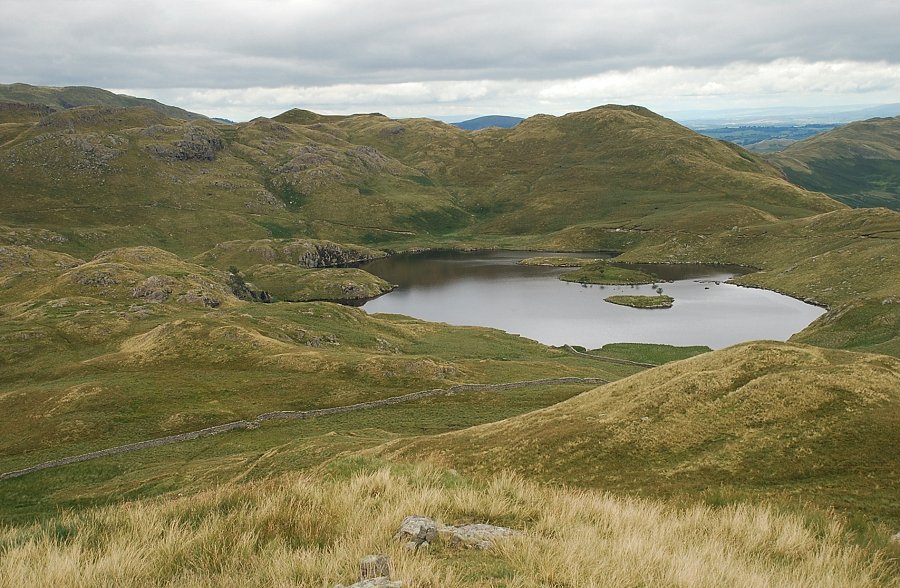
| Angle Tarn from the summit of Brock Crags |
 |
| Bonscale Pike, Loadpot Hill and Wether Hill |
 |
| Rest Dodd, High Raise and Rampsgill Head |
 |
| High Street and Hayeswater from the summit of Brock Crags |
 |
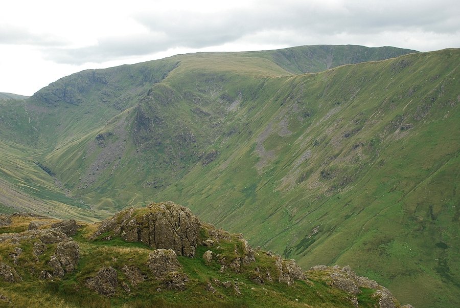
| Gray Crag and Thornthwaite Crag with Ill Bell appearing over Threshthwaite Mouth |
 |
| Caudale Moor |
 |
| Hartsop Dodd, Red Screes and Little Hart Crag |
 |
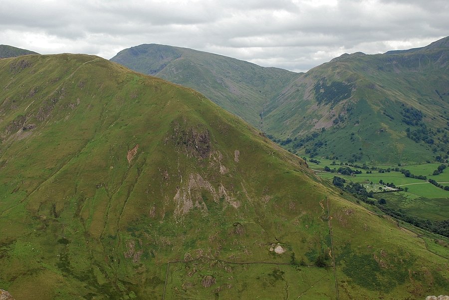
| Brothers Water from the summit of Brock Crags |
 |
| The grassy knoll a short distance to the north of the summit provides a much better view of Angle Tarn |
