 |
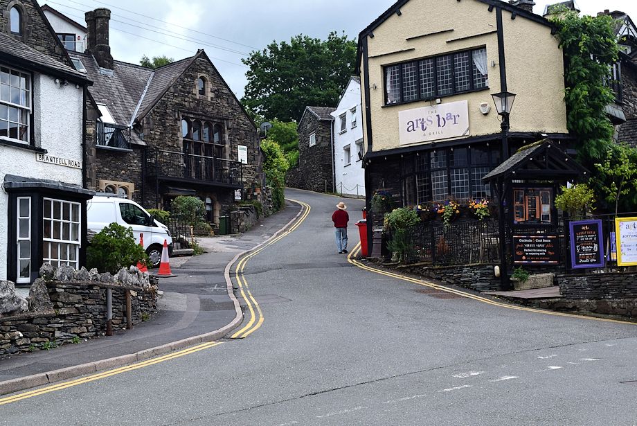
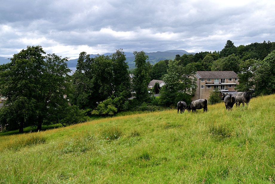
| The walk starts in the cente of Bowness-on-Windermere at the foot of Brant Road |
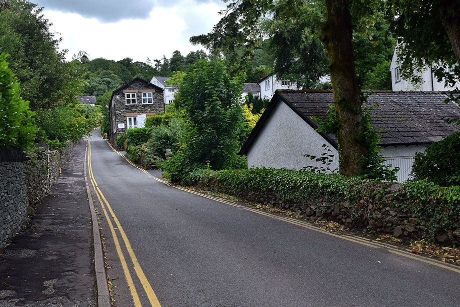 |
| In Old Norse 'Brant' means steep so the road ia aptly named |
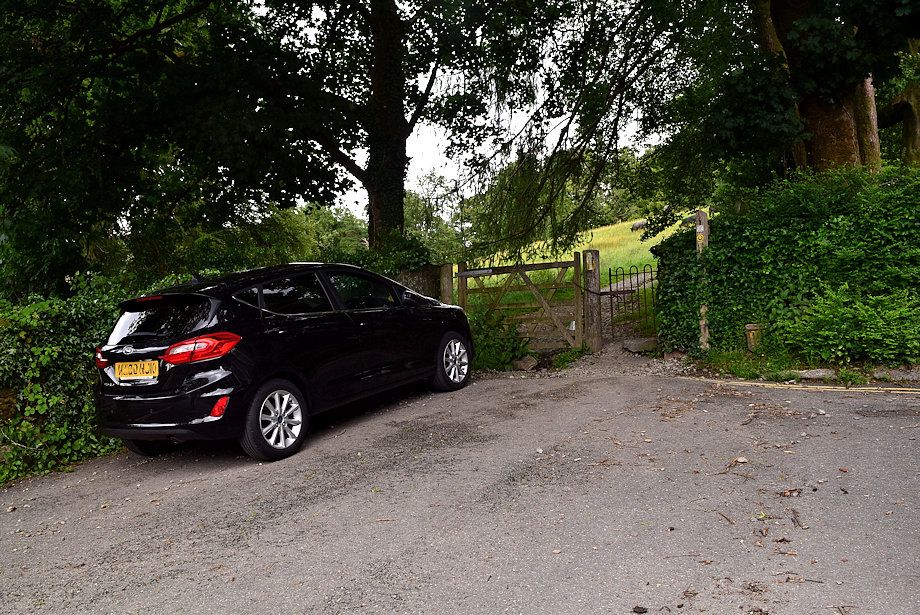 |
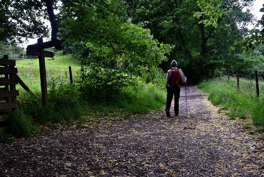
| The road ends at a gate giving access to a public footpath |
 |
| Looking back along Brant Road from the gate |
 |
| The footpath is part of the Dalesway, a Long Distance Path between Bowness-on-Windermere and Ilkley in Yorkshire |
 |
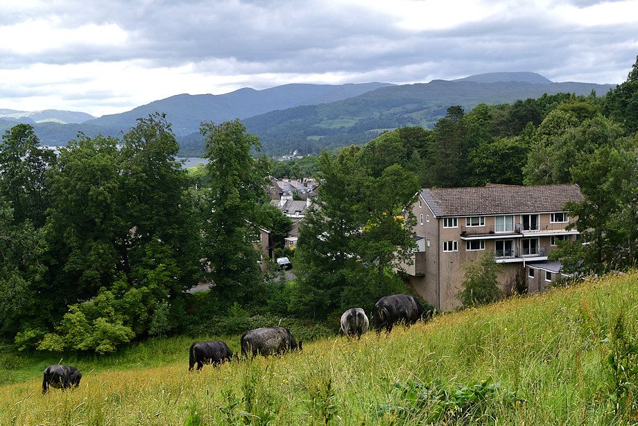
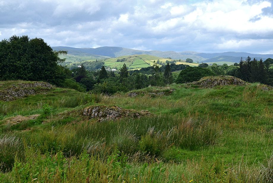
| Looking over to the Eastern Fells from the field |
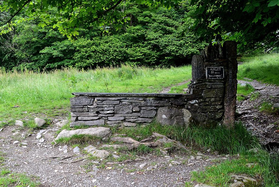 |
| A Stone bench near the top of the field shows the miles to Ilkley |
 |
| The Langdale Pikes from the bench |
 |
| Looking over the bench towards Heron Pike, Great Rigg, Fairfield, Hart Crag and Dove Crag with Red Screes over Wansfell Pike on the right |
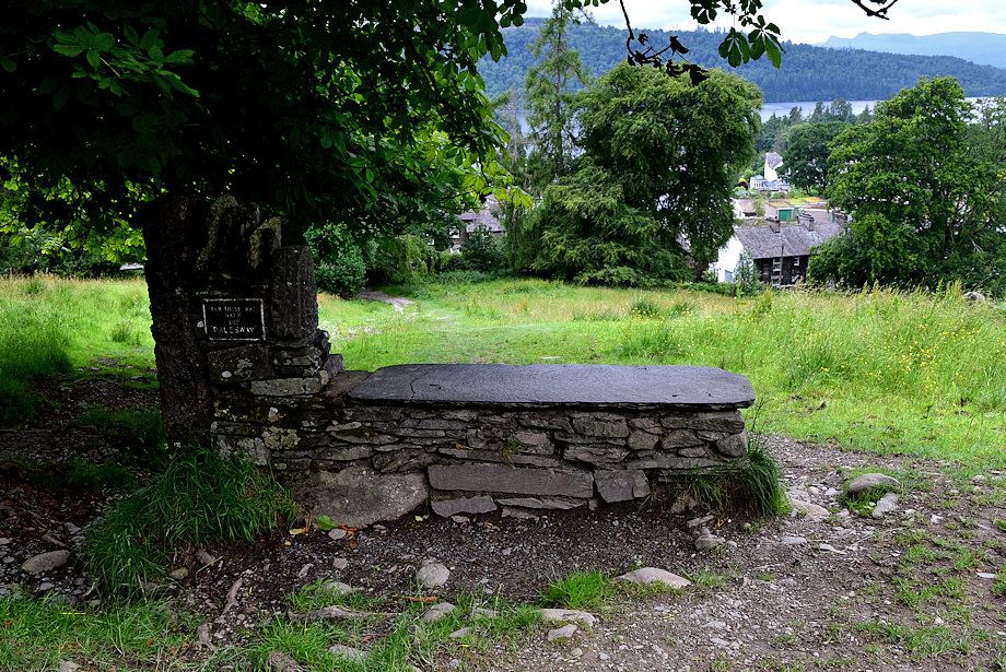 |
| The plaque on the other side of bench reads 'For those who walk the Dalesway' |
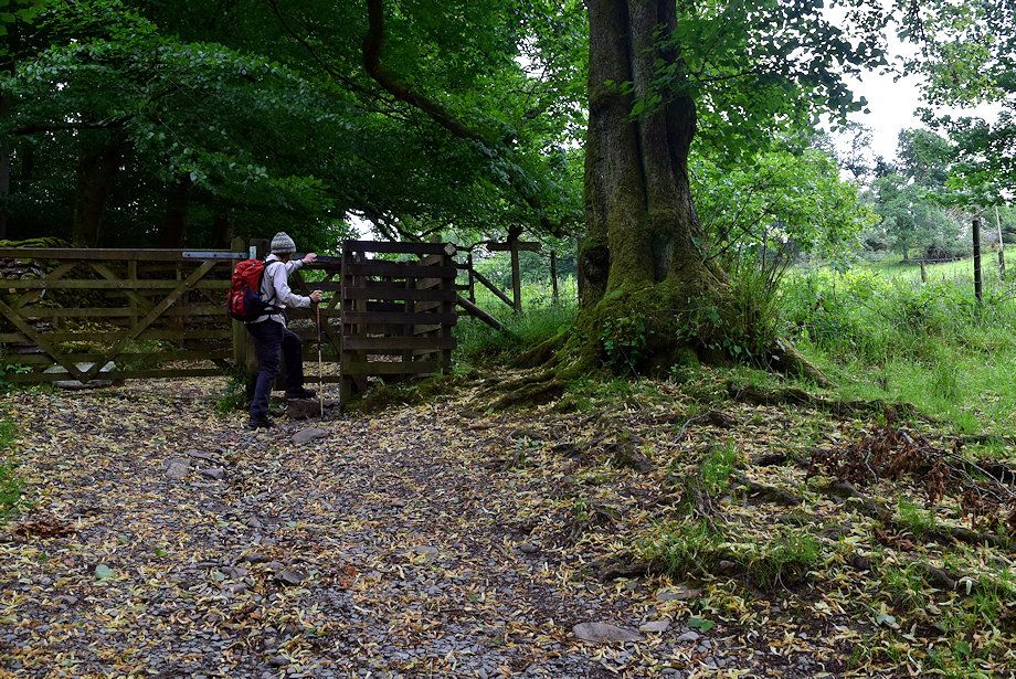 |
| A handgate at the top of the field gives access to a wide track |
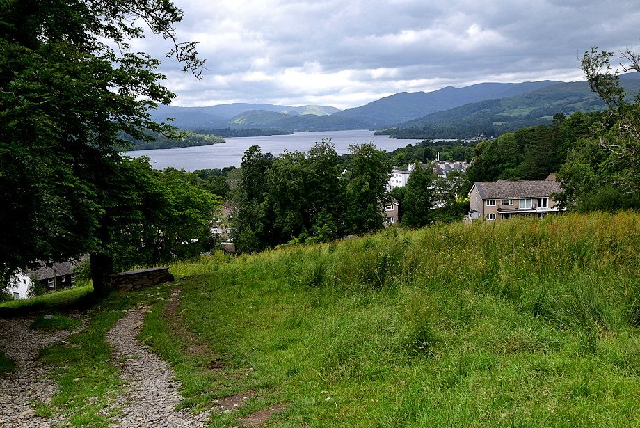 |
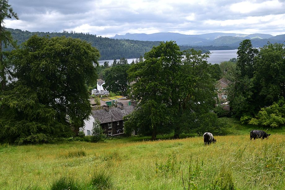
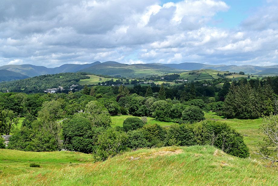
| Looking back to Windermere from the handgate |
 |
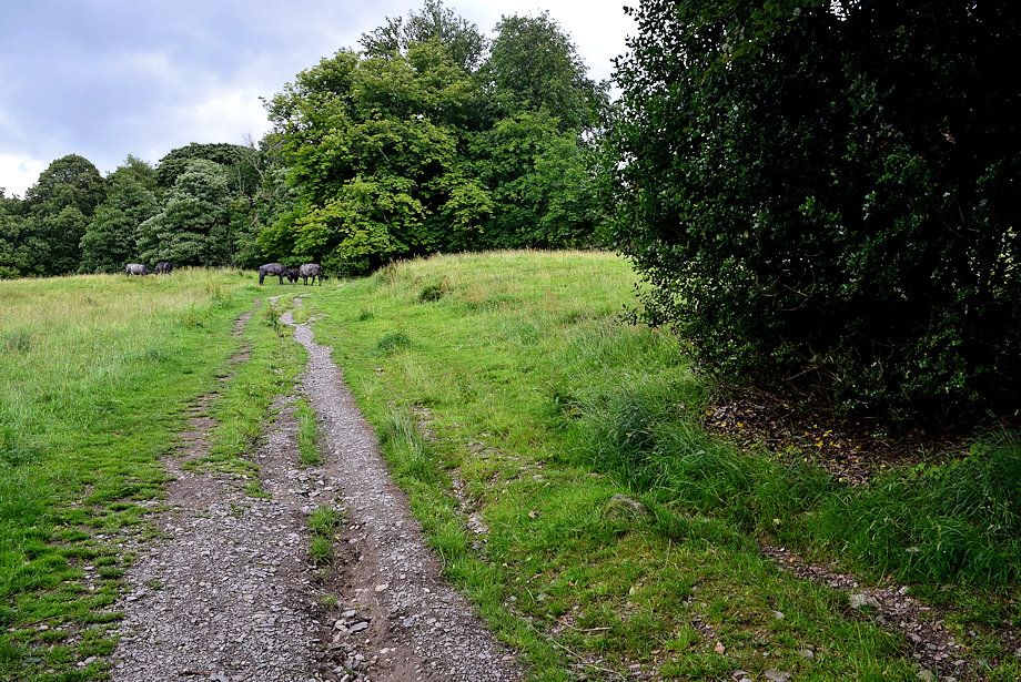
| We leave the Dalesway path which passes through another gate on the left on continue along the trck |
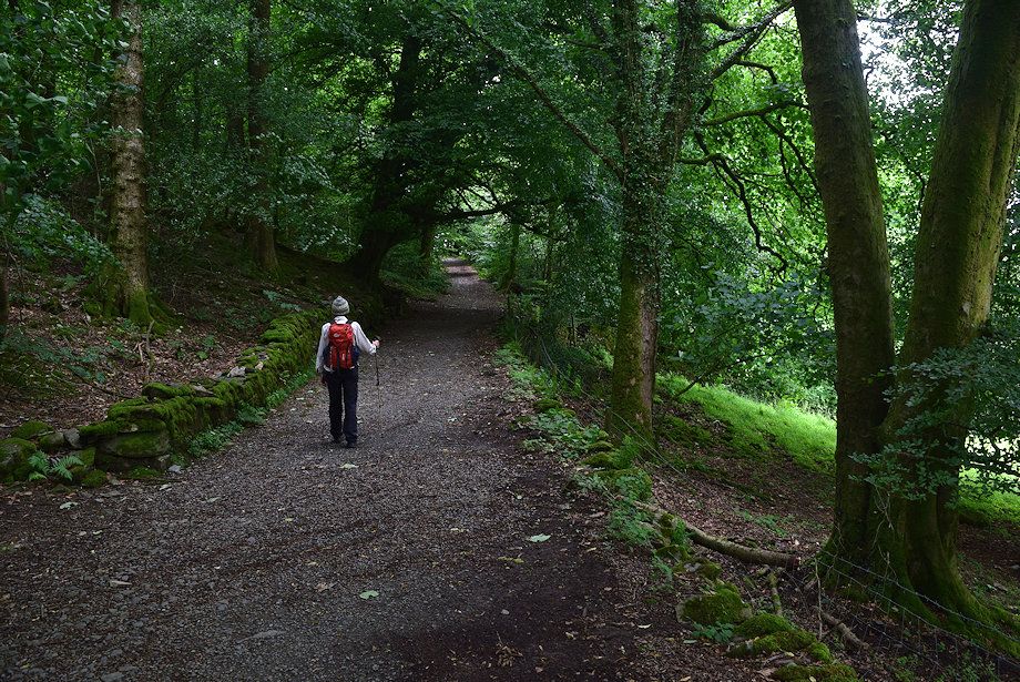 |
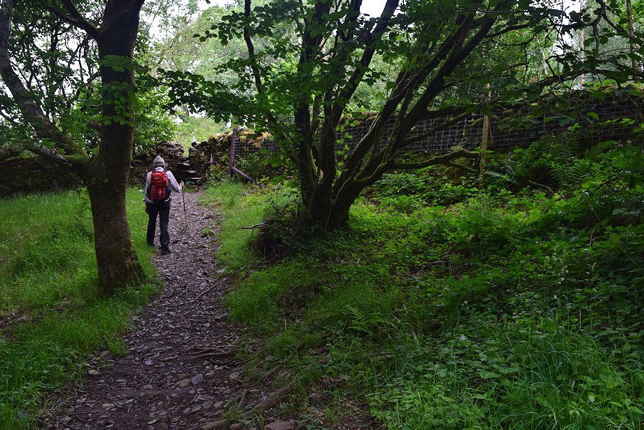
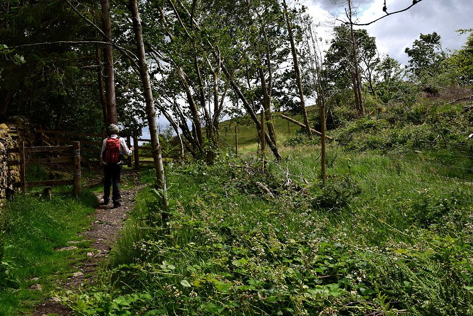
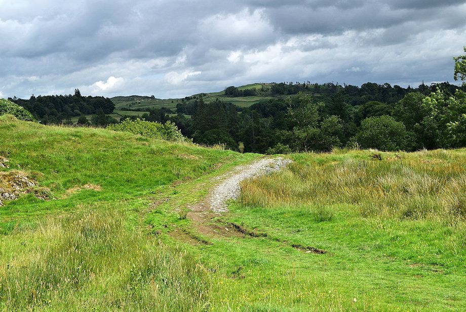
| The track rises 300 yards through woodland |
 |
| Near the end of the track we pass though a gate to visit a viewpoint which is beyond the junction of the path up ahead |
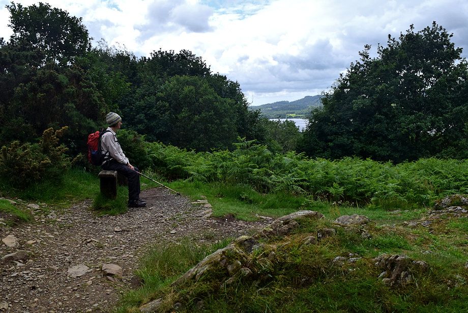 |
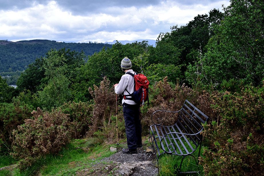
| The path turns right on reaching a simple wooden seat |
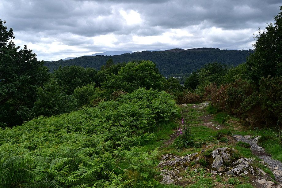 |
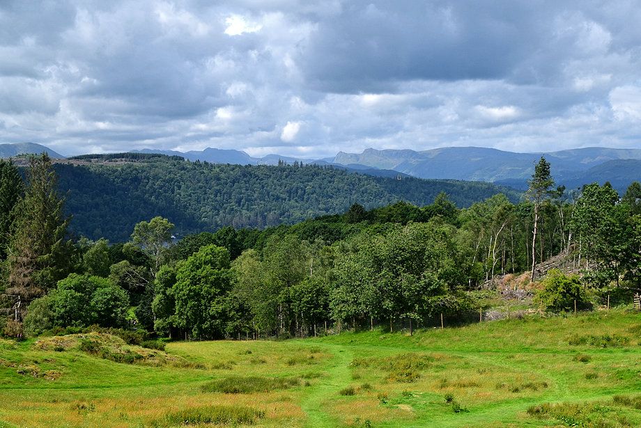
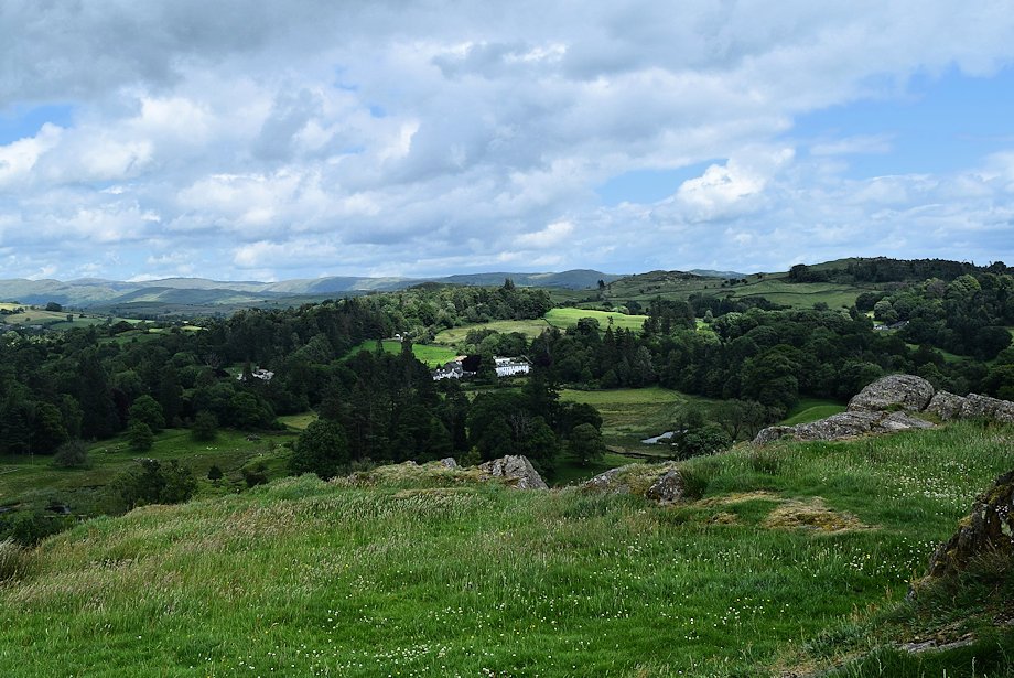
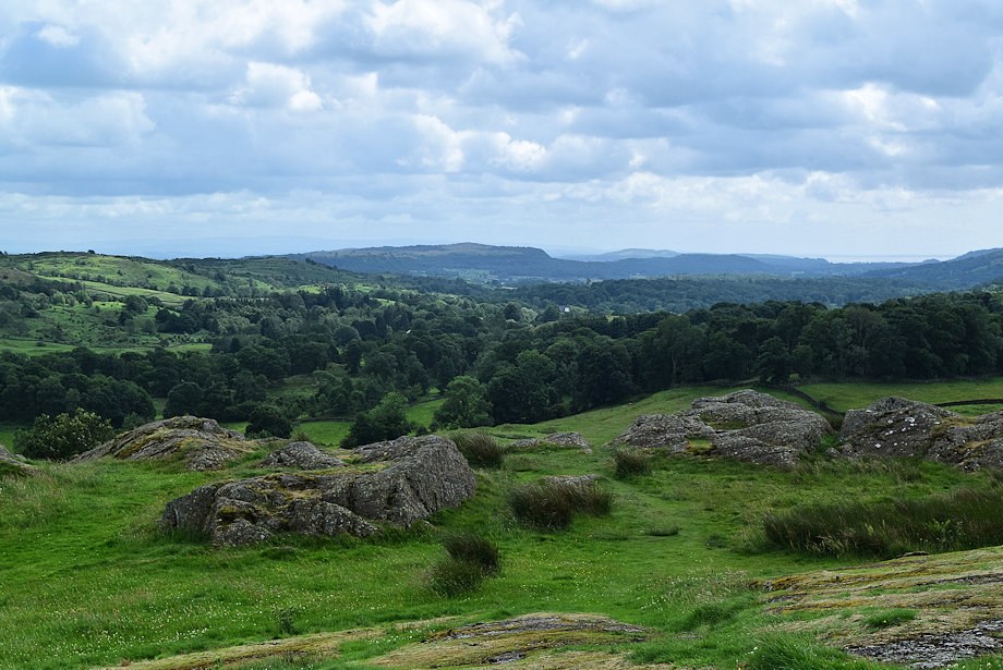
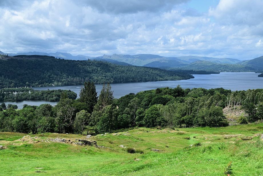
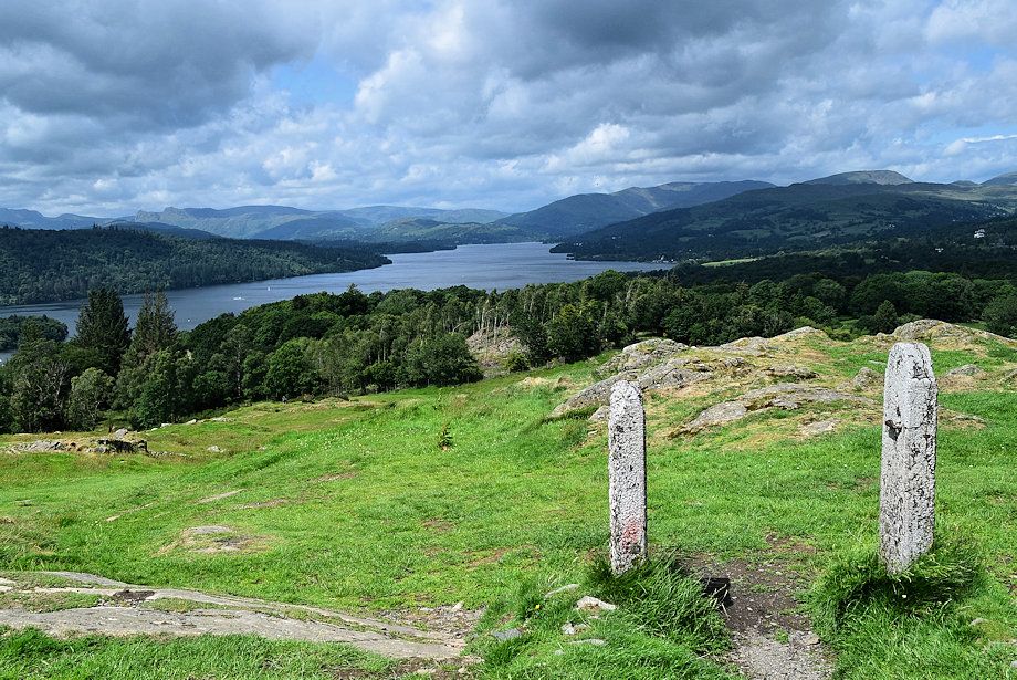
| The Coniston Fells over Claife Heights from the path to the viewpiont |
 |
| The Langdale Pikes on the far horizon from the viewpoint |
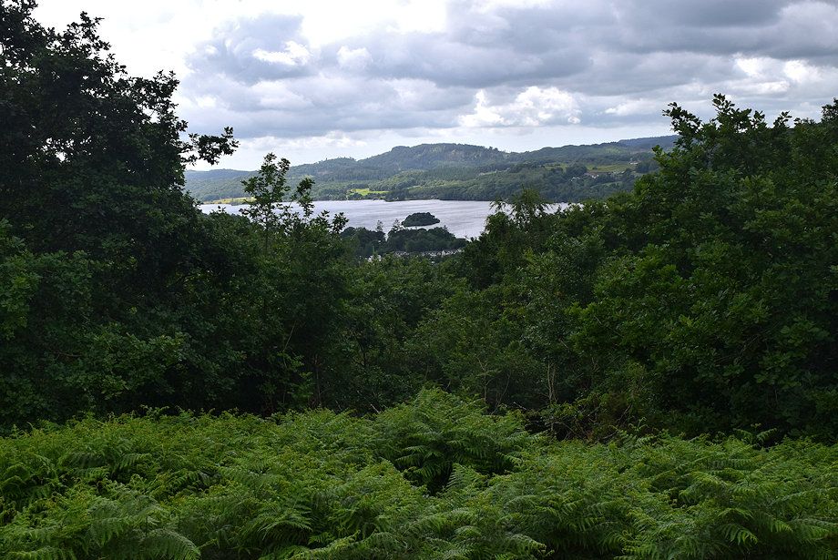 |
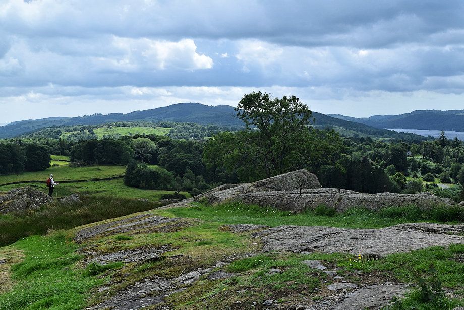
| Ramp Holme and Black Brows from the viewpoint |
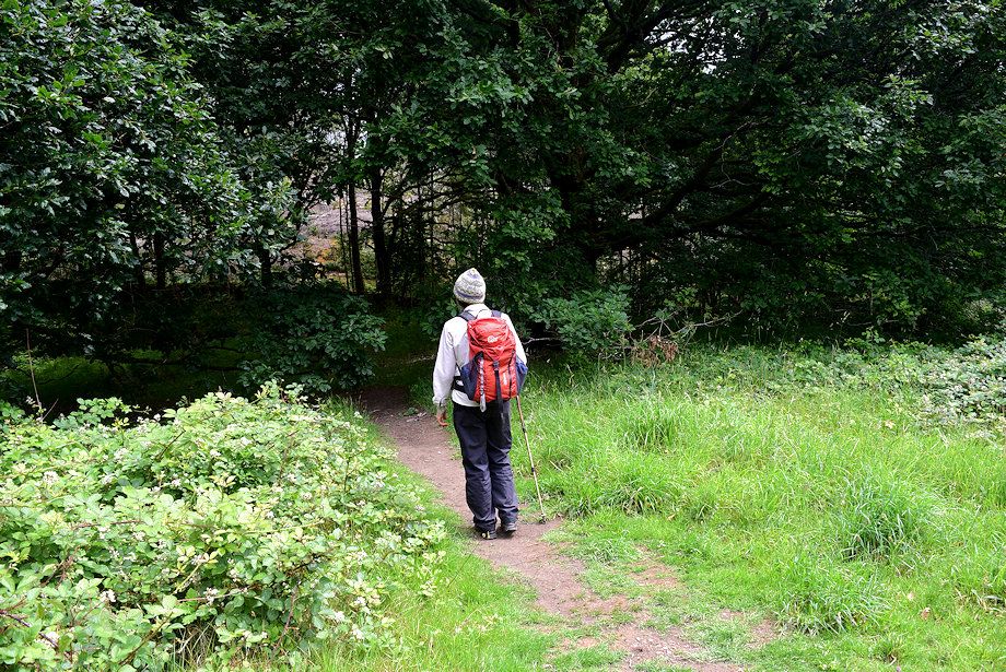 |
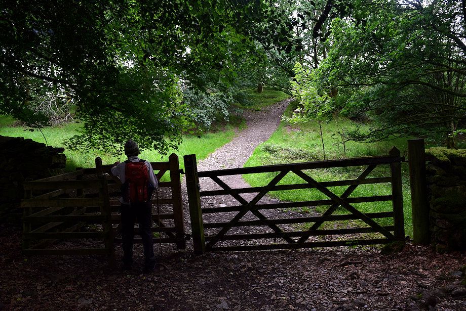
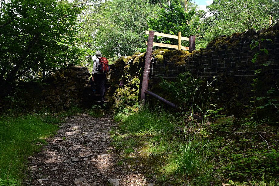
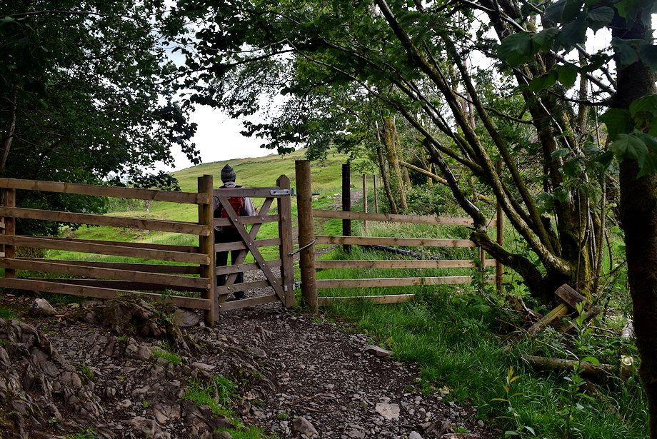
| We return to the path juntion and head through the Postknott Plantation ..... |
 |
| ..... to a stile in its enclosure wall |
 |
| A new fence beside the stile is intriguing |
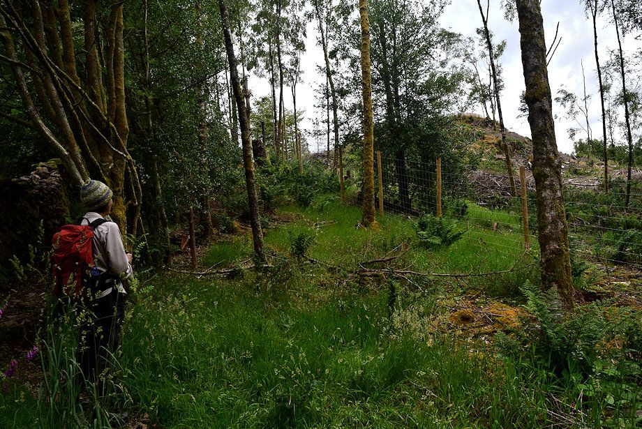 |
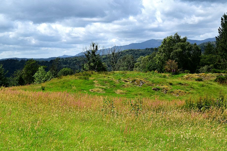
| The knoll of Post Knott, which has long been a popular viewpoint and marked as such on the OS map has been fenced off |
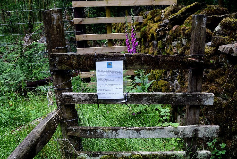 |
| A notice on the fence explains why, the pathogen Phytophthora Ramorum has infected the larch trees on Post Knott so it is no longer possible to access the viewpont |
 |
| We continue alongside the fence ..... |
 |
| ..... to a new handgate which gives access to the open fellside |
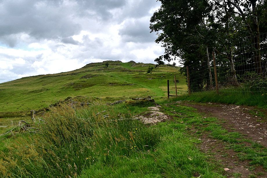 |
| Brant Fell comes into view for the first time |
 |
| The track on the right encircles the fell |
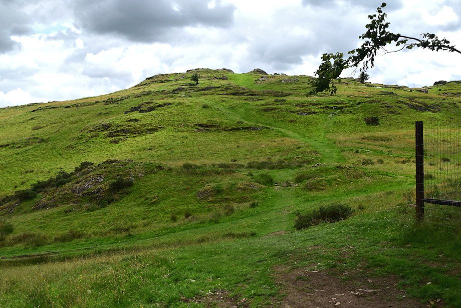 |
| The summit of Brant Fell from the edge of the Post Knott fence |
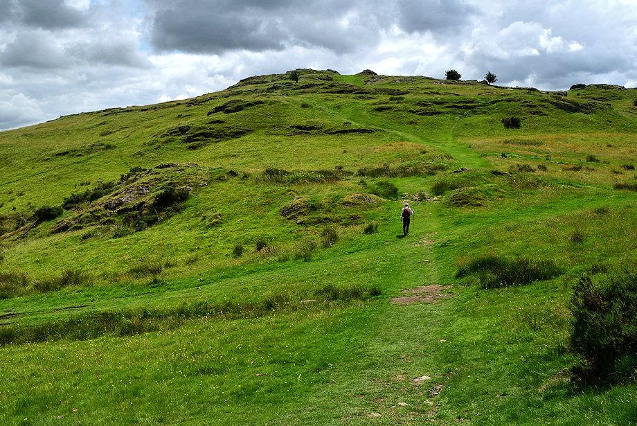 |
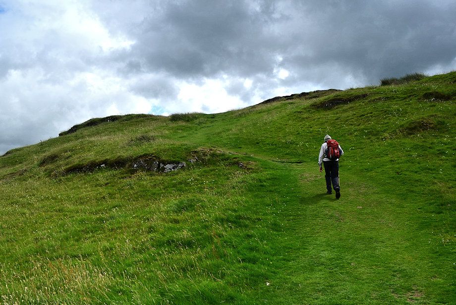
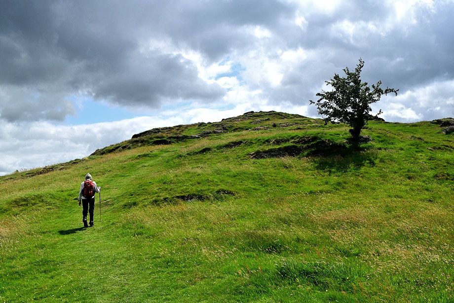
| Starting the climb to the summit |
 |
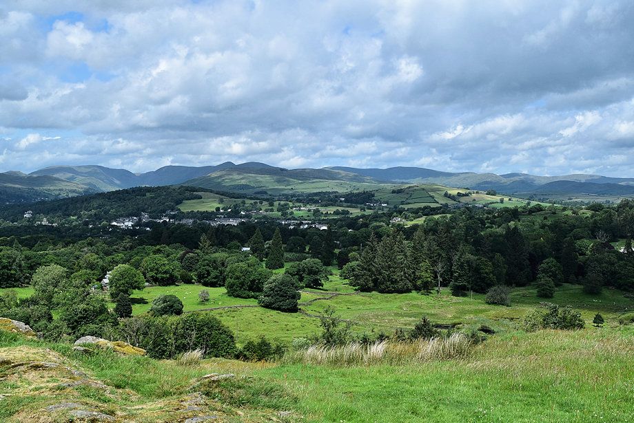
| Looking over towards Kentmere Pike |
 |
| Grandsire and Cleabarrow Hill |
 |
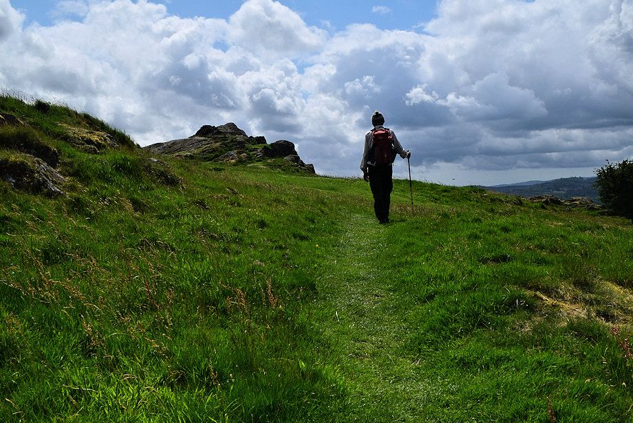
| Halfway on the green path to the summit |
 |
| The Coniston Fells on the horizon |
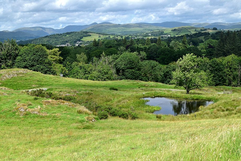 |
| Passing above a small reservoir on the northern side of the fell |
 |
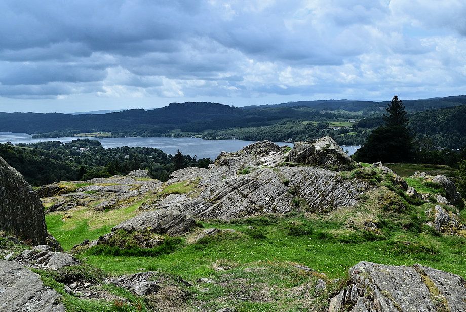
| The Coniston Fells over Claife Heights |
 |
| Bowfell and the Langdale Pikes on the horizon |
 |
| The final approach the summit ridge |
 |
| Caudale Moor, Thornthwaite Crag, High Street, Ill Bell, Yoke, Sallows, Harter Fell, Kentmere Pike, Shipman Knotts, Tarn Crag and Grey Crag on the horizon from just below the summit |
 |
| Approaching the summit of Brant Fell |
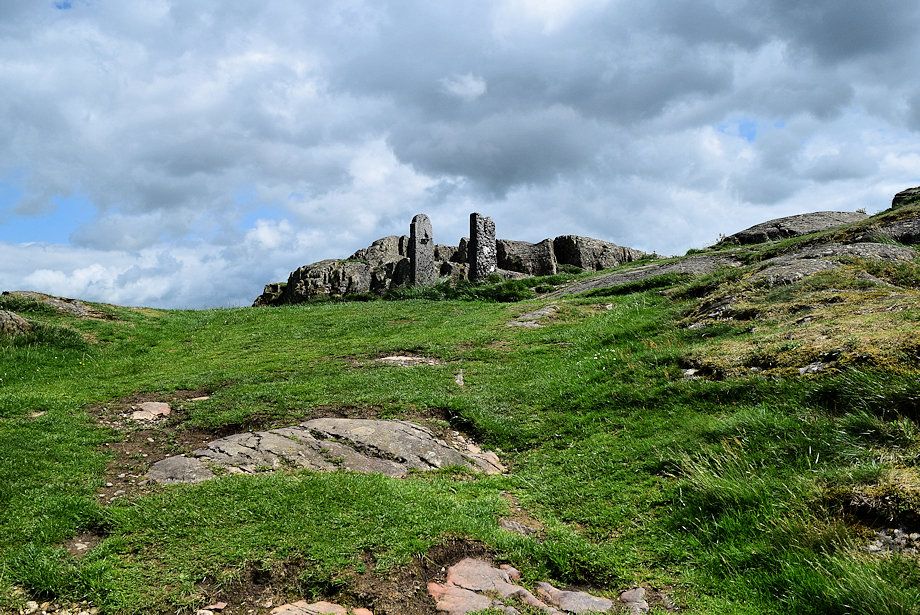 |
| The old gateposts on the summit of Brant Fell |
 |
| High Raise Ullscarf, Steel Fell, Nab Scar, Heron Pike, Great Rigg, Fairfield, Hart Crag, Dove Crag, Wansfell Pike, Red Screes, St. Raven's Edge and Caudale Moor on the horizon from the summit of Brant Fell |
 |
| Caudale Moor, Thornthwaite Crag, High Street, Ill Bell, Yoke, Sallows, Harter Fell, Kentmere Pike, Shipman Knotts, Tarn Crag and Grey Crag from the summit of Brant Fell |
 |
| Grandsire and Cleabarrow Hill on the right from the summit of Brant Fell |
 |
| Whitbarrow and Arnside Knott from the summit of Brant Fell |
 |
| Birch Fell and Gummer's How from the summit of Brant Fell |
 |
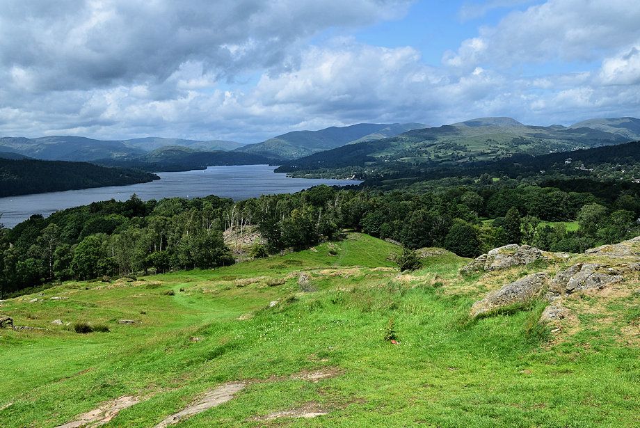
| Black Brows across Windermere from the summit of Brant Fell |
 |
| The Coniston Fell over Claife Heights from the summit of Brant Fell |
 |
| Crinkle Crags, Scafell Pike, Bowfell, Esk Pike, Great Gable, the Langdale Pikes, High Raise, Ullscarf and Steel Fell on the horizon from the summit of Brant Fell |
 |
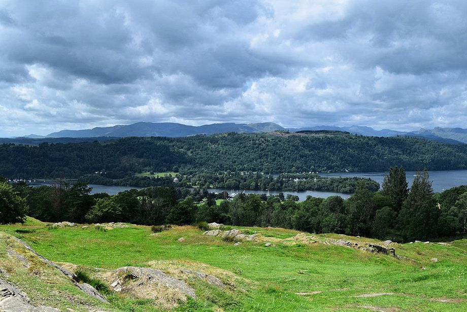
| The head of Windermere from the summit of Brant Fell |