 |
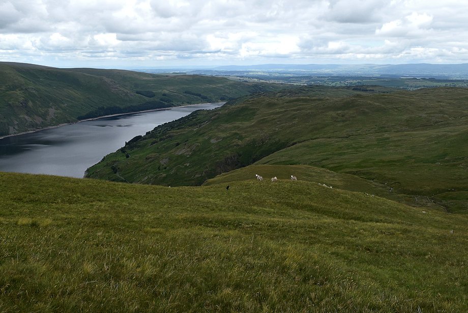
| The long lay-by below Mardale Banks is the starting point for this walk |
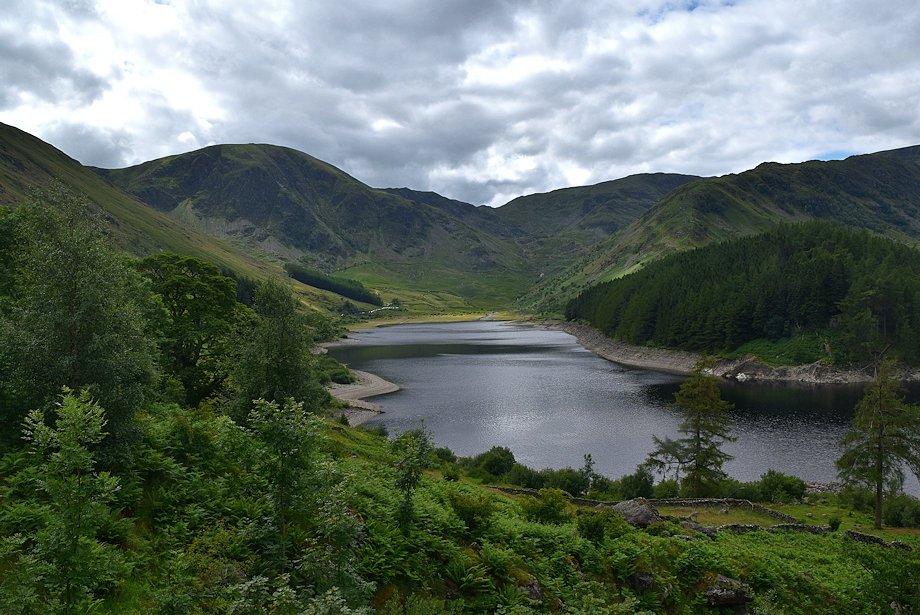 |
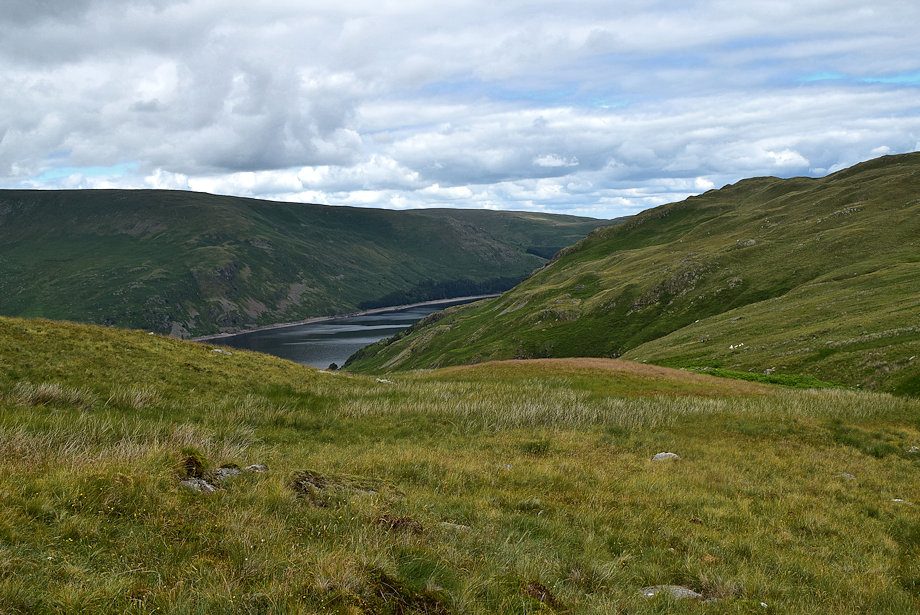
| Mardale Head from the lay-by |
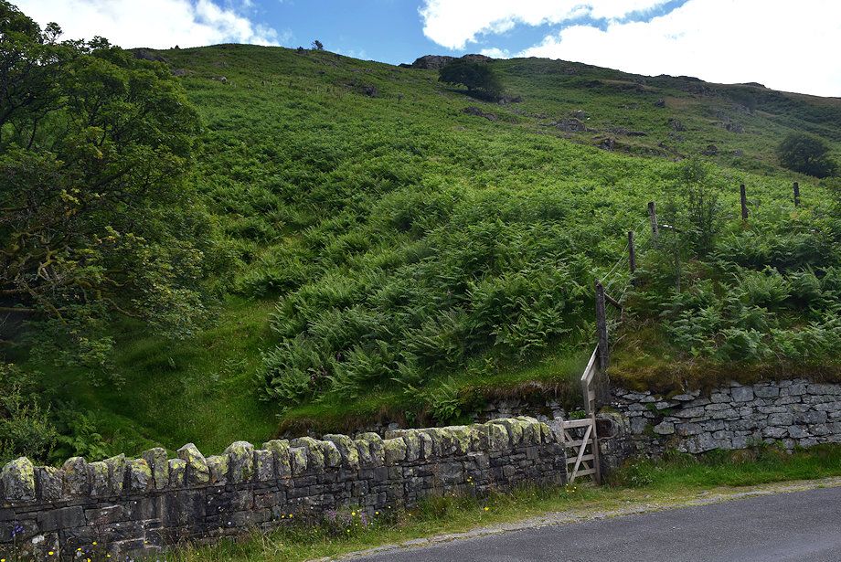 |
| Cross the road bridge over Rowantreethwaite Beck to where a hand-gate gives access to the open fellside |
 |
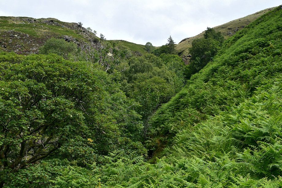
| Rowantreethwaite Beck and its tributary Hopgill Beck provide a more adventurous way to climb Branstree but they require some quite difficult scrambling through their ravines to gain the north ridge |
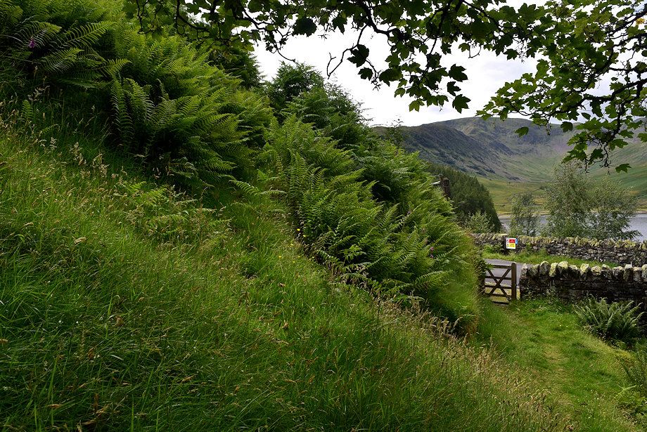 |
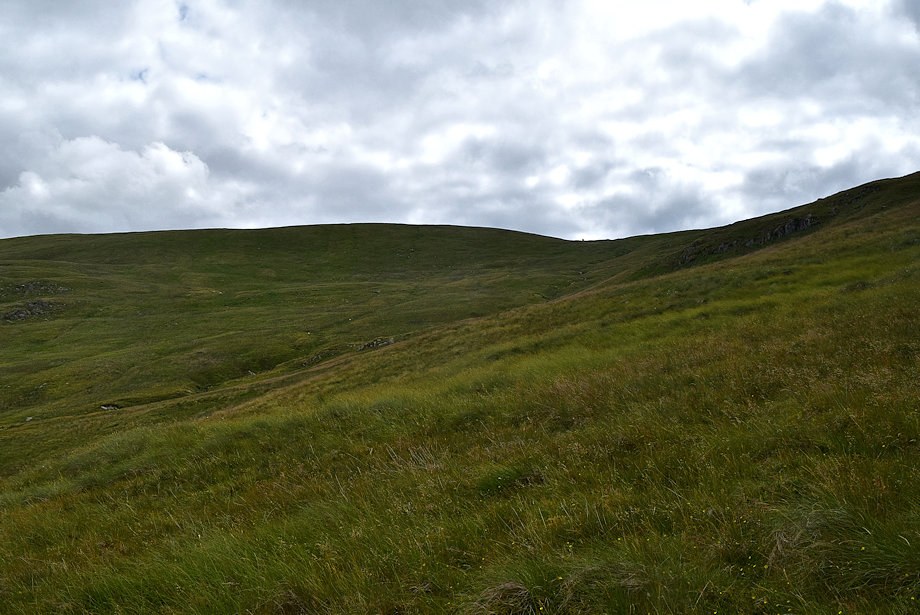
| The easier alternative is to turn right through the gate and follow an old drove path |
 |
| The tree shrouded Rowantreethwaite ravine from the drove path |
 |
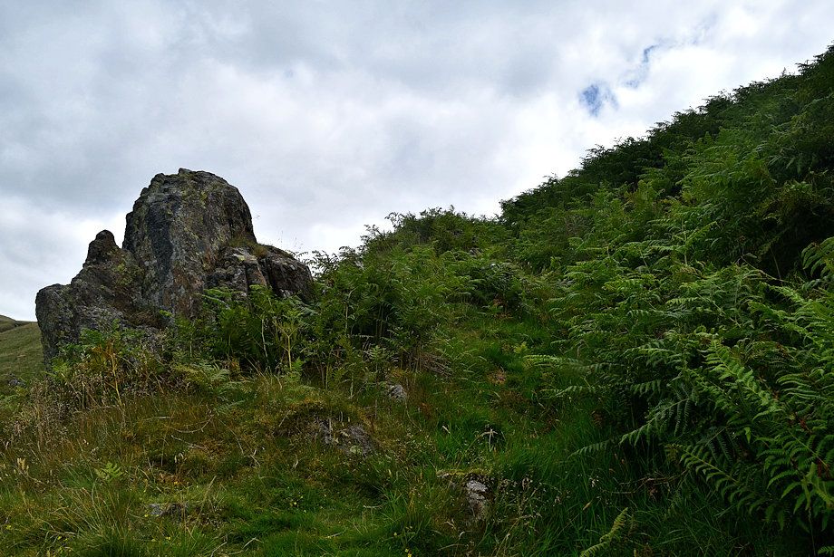
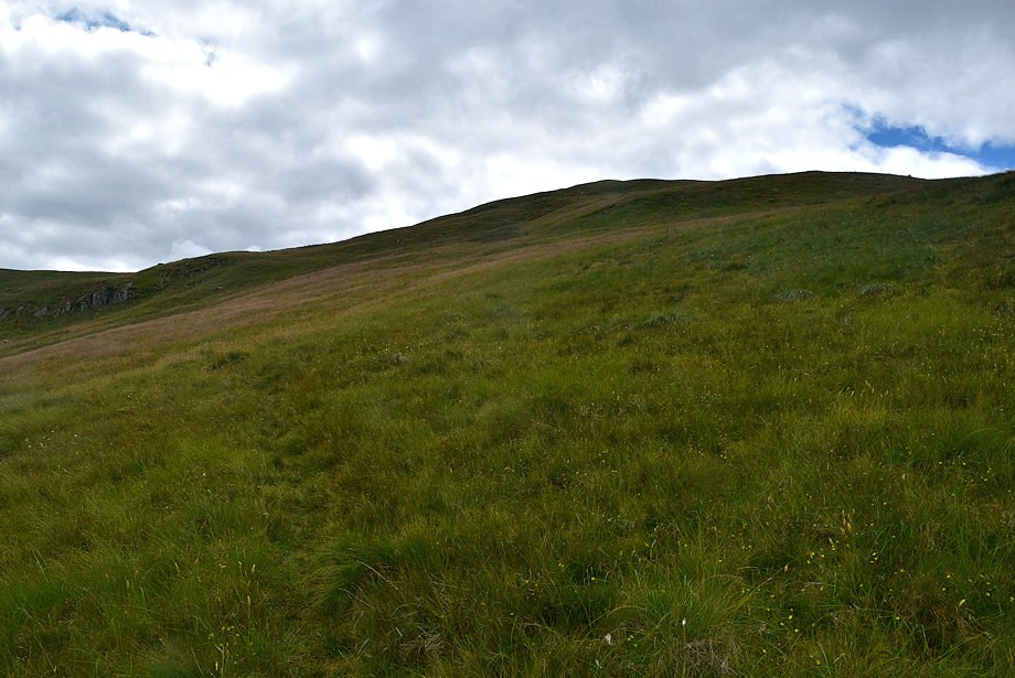
| The drove path zig-zags up the very steep slope towards a huge boulder which is named Hollow Stone on the map |
 |
| High summer is perhaps not the best time to climb this slope although the grooved path is easily to follow despite the tall bracken |
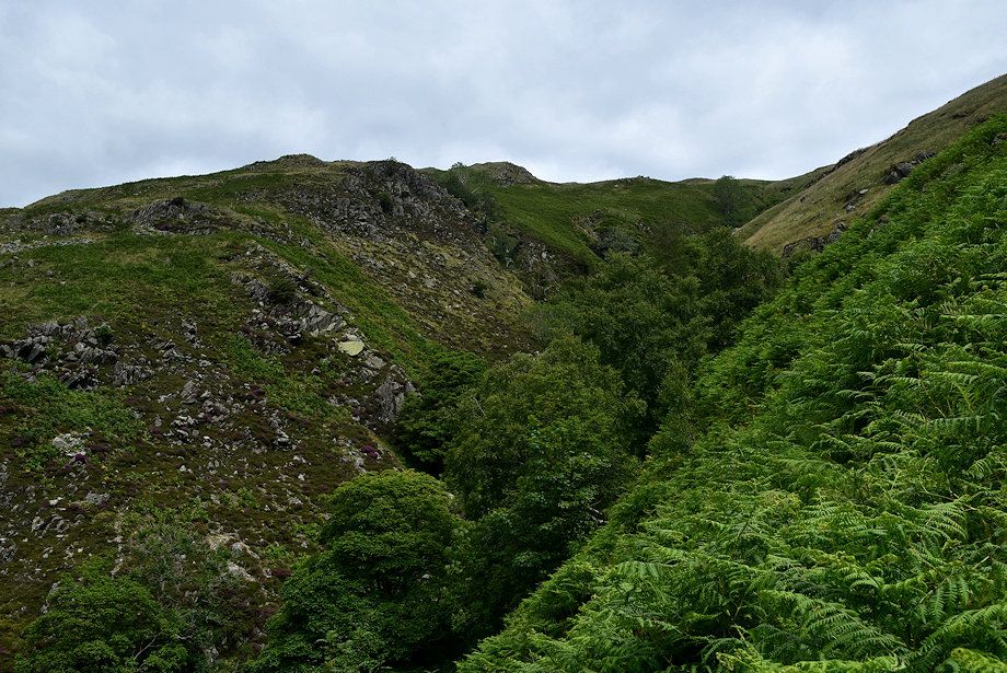 |
| The upper part of Rowantreethwaite Beck ravine with the Hopgill Beck ravine joining it on the right, there are several impressive waterfalls and cascades in the ravines |
 |
| Hollow Stone |
 |
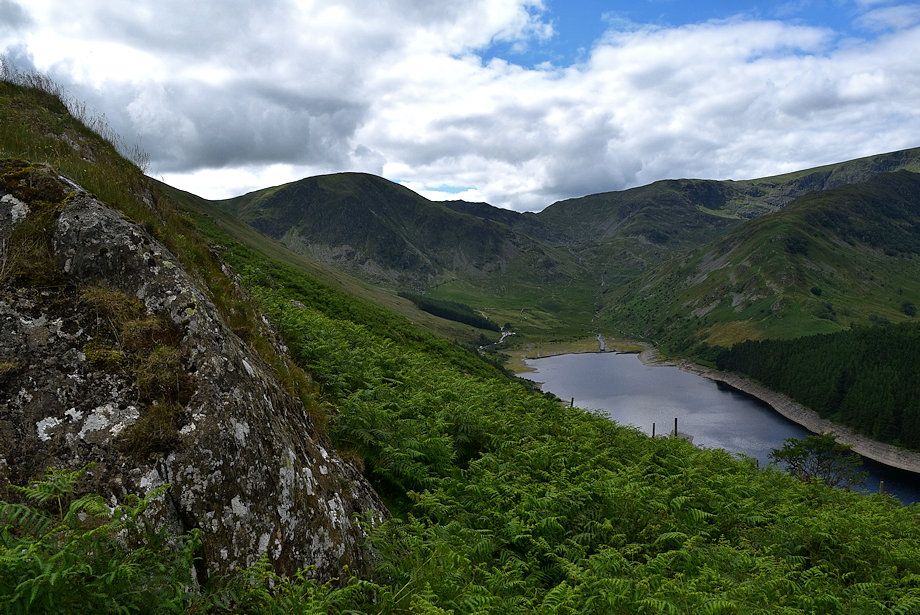
| Mardale Head from Hollow Stone |
 |
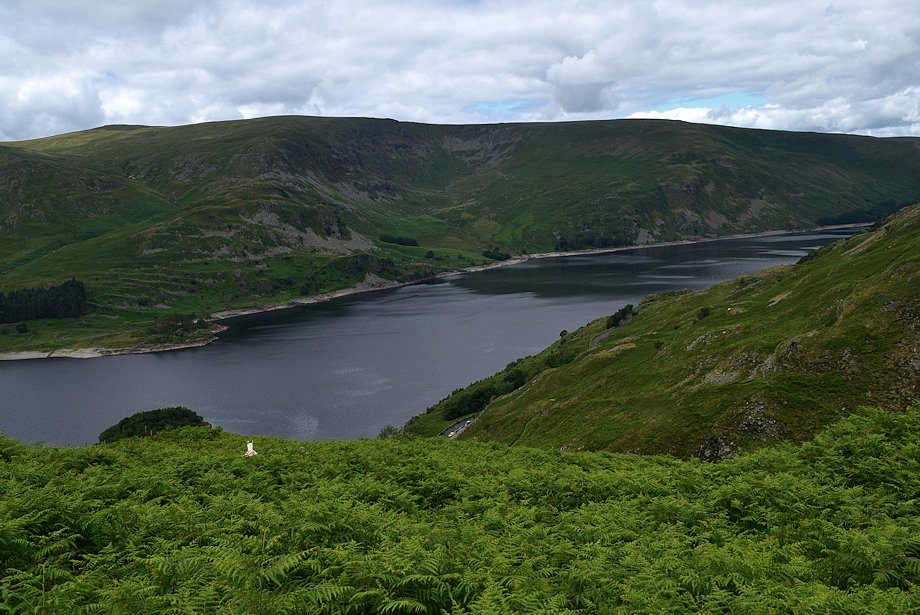
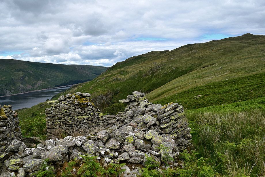
| Riggindale across Haweswater from Hollow Stone |
 |
| Moving on from Hollow Stone the path climbs high alongside the Hopgill Beck ravine where the roar of the main waterfall can be heard |
 |
| The Rigg and Wood Howe island from the path alongside Hopgill Beck ravine |
 |
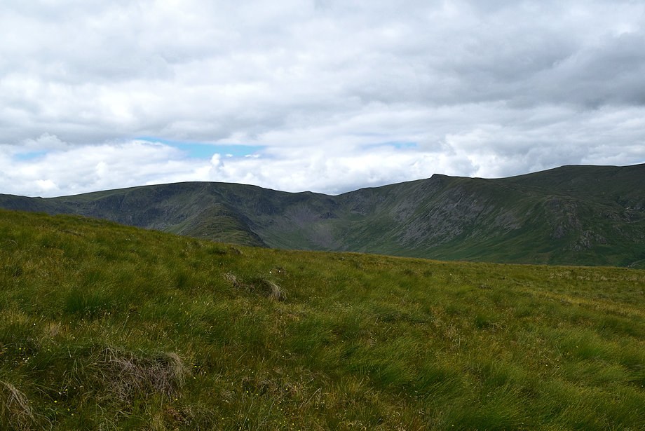
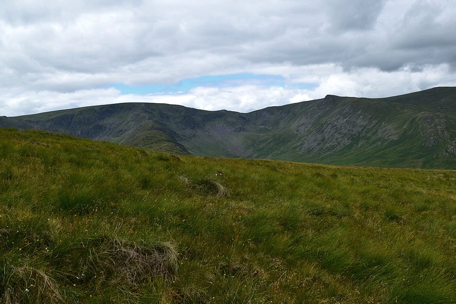
| Looking over towards Harter Fell, Nan Bield Pass and Mardale Ill Bell |
 |
| Rampsgill Head, High Raise and Low Raise across Haweswater |
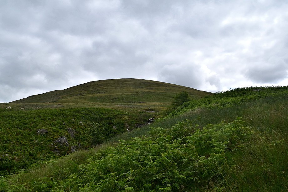 |
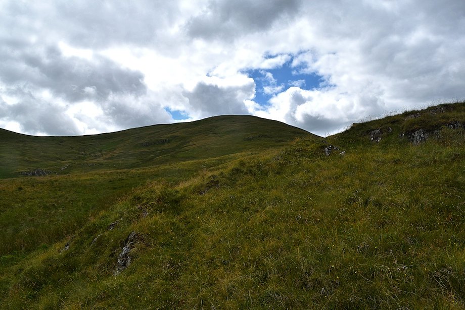
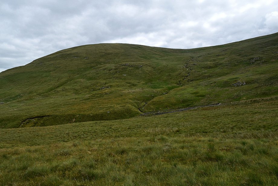
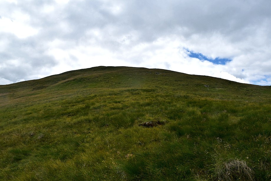
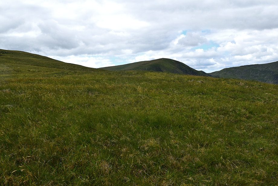
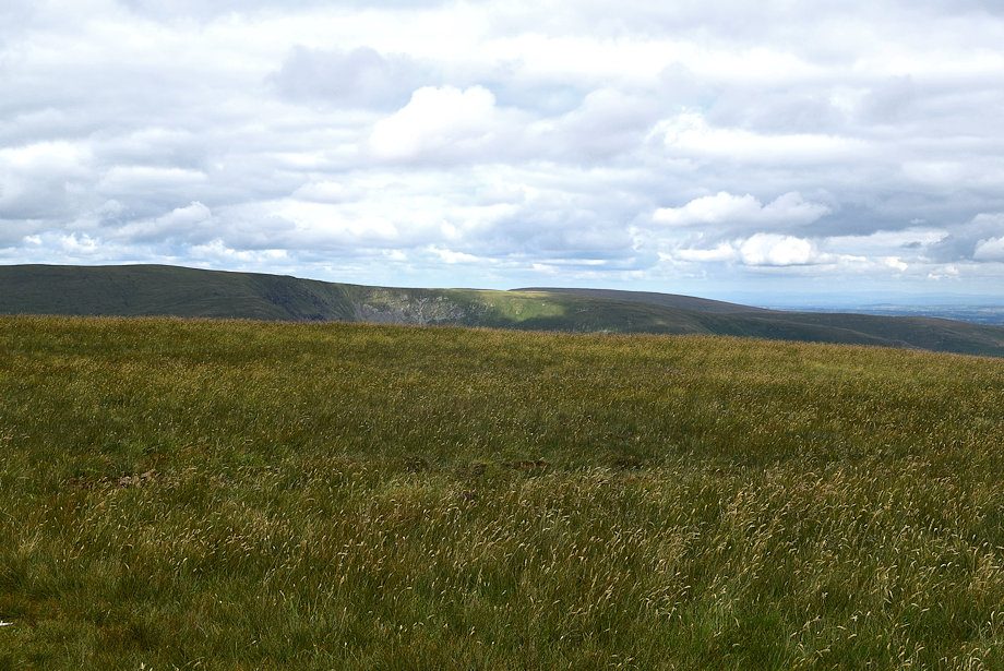
| The summit of Selside Pike comes into view as the angle of the slope eases |
 |
| Over to the right are the ruins of some peat store huts |
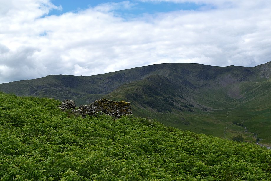 |
| Mardale Ill Bell, Rough Crag and High Street from the ruined huts |
 |
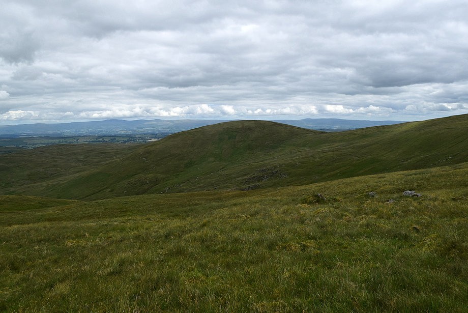
| Brown Howe on Mardale Banks from the ruins |
 |
| Riggindale flanked by High Street and Kidsty Pike with Rampsgill Head and High Raise to the right |
 |
| Continuing on from the ruins the summit of Branstree soon comes into view |
 |
| Looking back to Brown Howe from the the path alongside Hopgill Beck |
 |
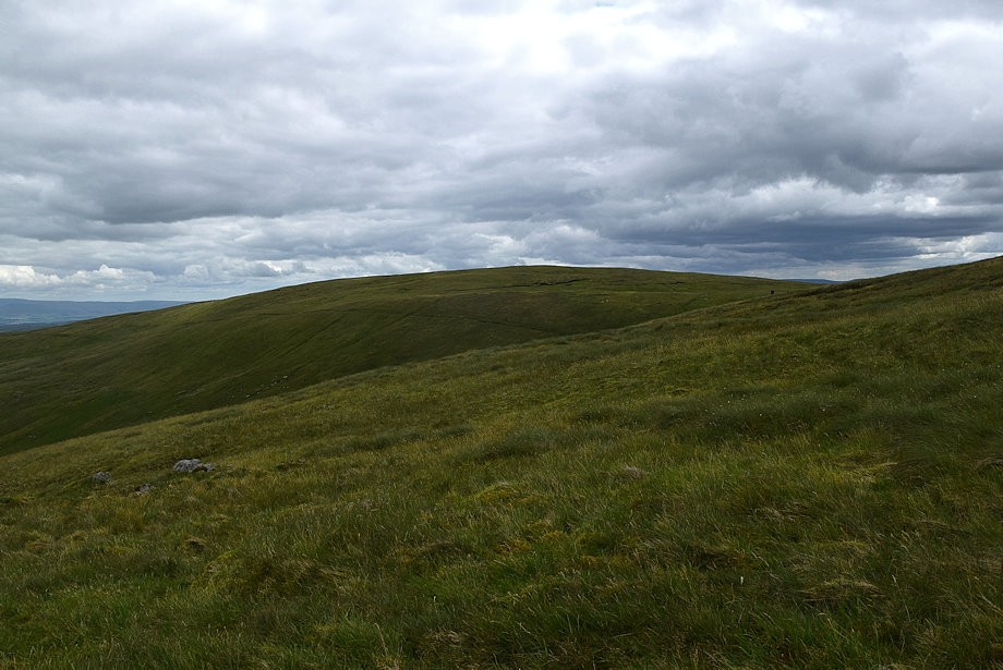
| Selside Pike across Hopgill Beck |
 |
| The path gradually turns to the right and moves away from the course of Hopgill Beck |
 |
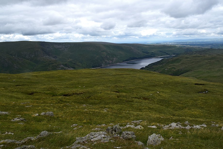
| Looking back to Haweswater |
 |
| Passing the large sheepfold beside Hopgill Beck which AW noted on his diagram of this ascent |
 |
| There is no continuous path along the north ridge, it's just a matter of linking up the occasional sheep trods on the way |
 |
| Looking over towards High Street and Kidsty Pike |
 |
| The old Haweswater aquaduct survey tower above the col between High Howes and Branstree comes into view |
 |
| A useful sheeptrod leads up to a rim of low crags |
 |
| Looking over towards the Straits of Riggindale flanked by High Street and Kidsty Pike |
 |
| The sheeptrod passes to the left of the crags .......... |
 |
| .......... then turns away towards the head of the valley of Hopgill Beck and no longer is useful for the ascent. Leave it and continue straight ahead along the pathless slopes of the north ridge |
 |
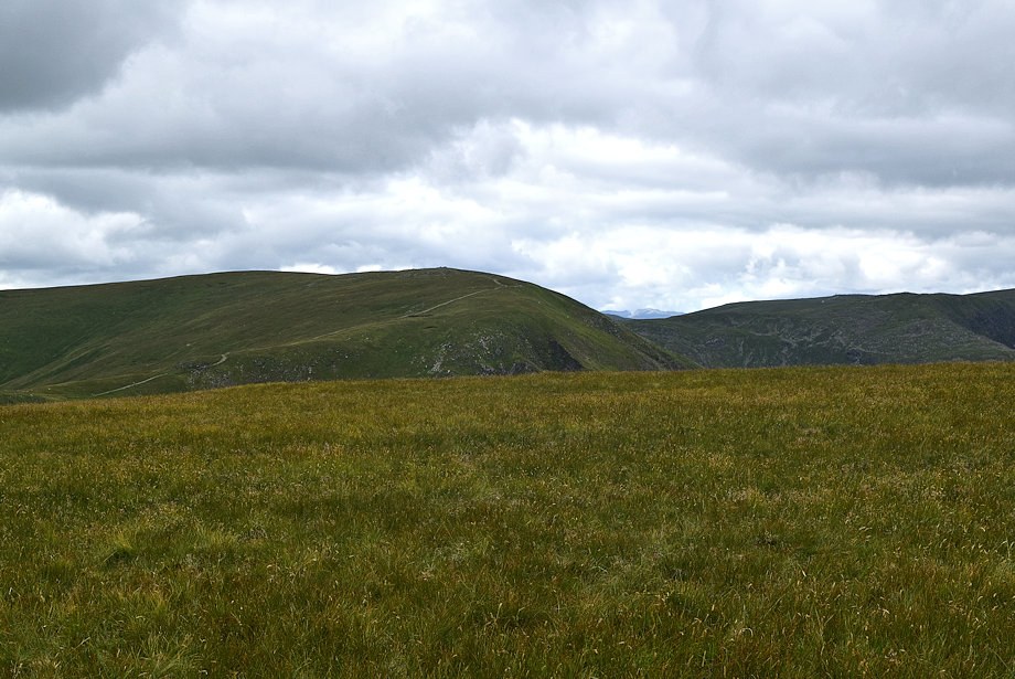
| Selside Pike across the Hopgill Beck valley |
 |
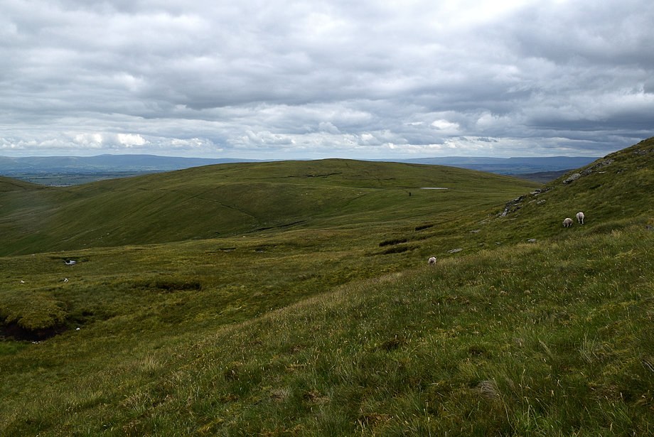
| The objective is to reach Artlecrag Pike seen here on the skyline left of centre which is a subsidiary top of Branstree |
 |
| Looking back to Haweswater from the north ridge, the lay-by parking can be seen beyond the Rowantreethwaite Beck ravine |
 |
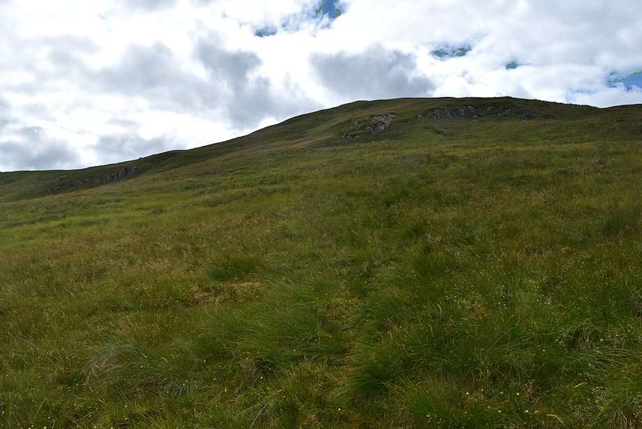
| Selside Pike from an unexpected rash of stones on the otherwise dreary grass slopes on the north ridge .......... |
 |
| .......... the ascent of which provides plenty of excuses to stop and appreciate the views |
 |
| The summit of Harter Fell |
 |
| High Street, Kidsty Pike and High Raise |
 |
| Another look back to Haweswater |
 |
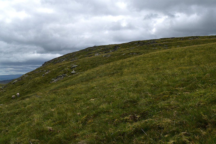
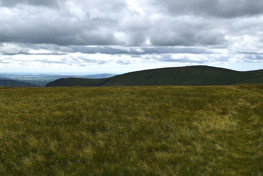
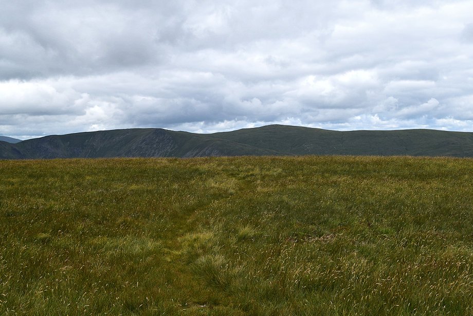
| Looking over towards High Howes which surprisingly is not named on OS maps .......... |
 |
| .......... although it's substantially higher than Selside Pike which is named on the maps |
 |
| Parallel sheeptrods which look promising lead up towards Artlecrag Pike .......... |
 |
| ........... but they are only short in length and come to an end below some peat hags |
 |
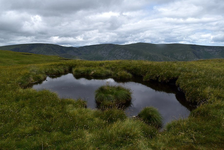
| High Howes from the peat hags. The old survey tower can be seen near one of the tarns on its summit ridge |
 |
| The approach from the peat hags to the summit of Artlecrag Pike |
 |
| Looking back, the parallel sheeptrods can be seen in the centre of the photo |
 |
| High Raise from near the top of Artlecrag Pike |
 |
| High Street from near the top of Artlecrag Pike |
 |
| The final slope leading up to the summit of Artlecrag Pike |
 |
| The upper cairn on Artlecrag Pike comes into view |
 |
| A last look back to Haweswater, only a small section of it will be visible from the top of Artlecrag Pike |
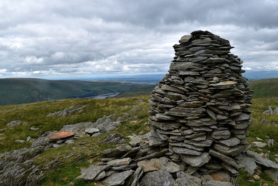 |
| The upper cairn on Artlecrag Pike |
 |
| The summit of Branstree lies just over 300 yards to the south-west |
 |
| Two walkers on their way to visit the lower cairn on Artlecrag Pike |
 |
| High Howes from the lower cairn |
 |
| Continuing on the path from the upper cairn towards the summit of Branstree |
 |
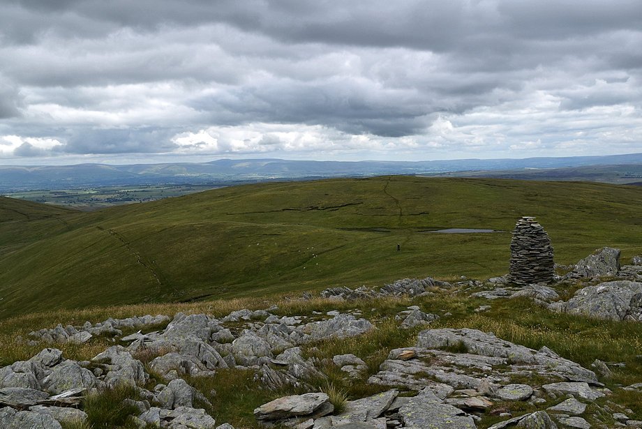
| Looking back to the upper cairn on Artlecrag Pike |
 |
| High Street, Kidsty Pike and High Raise from the path to the summit of Branstree |
 |
| Approaching the summit of Branstree |
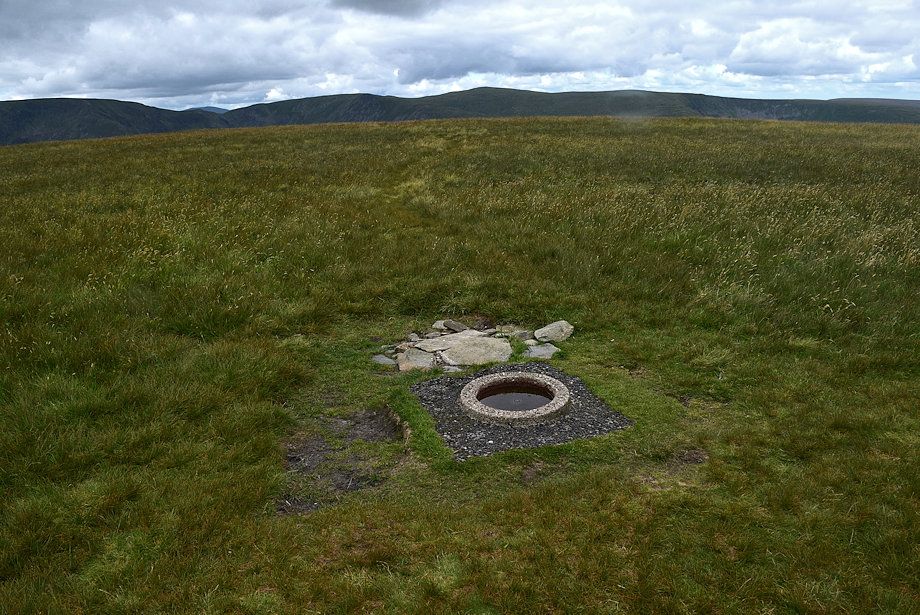 |
| The summit is marked by an Ordnance Survey trig detector ring |
 |
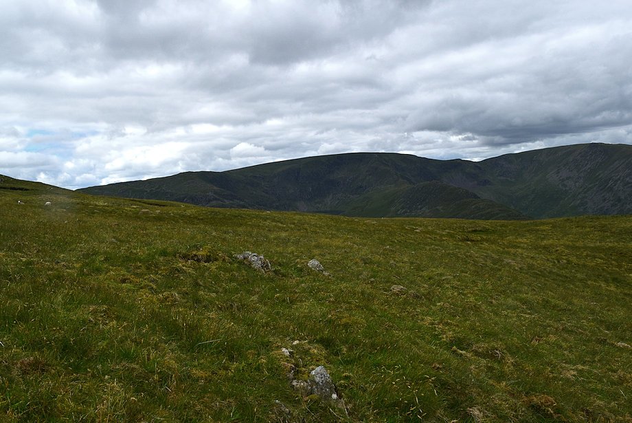
| Low Raise, Loadpot Hill and Low Kop from the summit of Branstree |
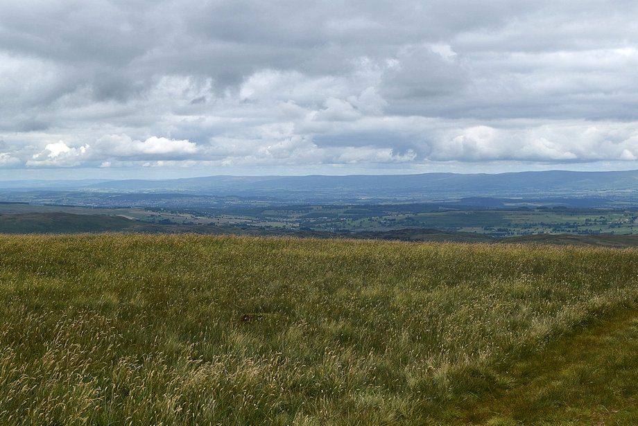 |
| The Northern Pennines from the summit of Branstree |
 |
| Selside Pike from the summit of Branstree with Cross Fell, Little Dun Fell and Great Dun Fell on the centre horizon |
 |
| High Howes with Mickle Fell on the horizon from the summit of Branstree |
 |
| Wasdale Pike and Great Yarlside in the middle distance from the summit of Branstree |
 |
| The Howgills in the distance over the ridge between Great Yarlside and Harrop Pike |
 |
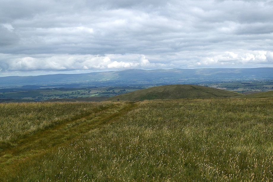
| Looking south-east, two paths leave the summit of Branstree, one crosses the stile and follows the wall which descends Selside Brow to the head of Mosedale, the other follows the fence down to Gatescarth Pass |
 |
| Looking south to the summits of Goat Scar and Kentmere Pike |
 |
| Harter Fell and Mardale Ill Bell with Scafell and Scafell Pike appearing over Nan Bield Pass |
 |
| High Street with Stybarrow Dodd appearing over the Straits of Riggindale |
 |
| Rampsgill Head, Kidsty Pike, High Raise and Low Raise from the summit of Branstree |
