 |
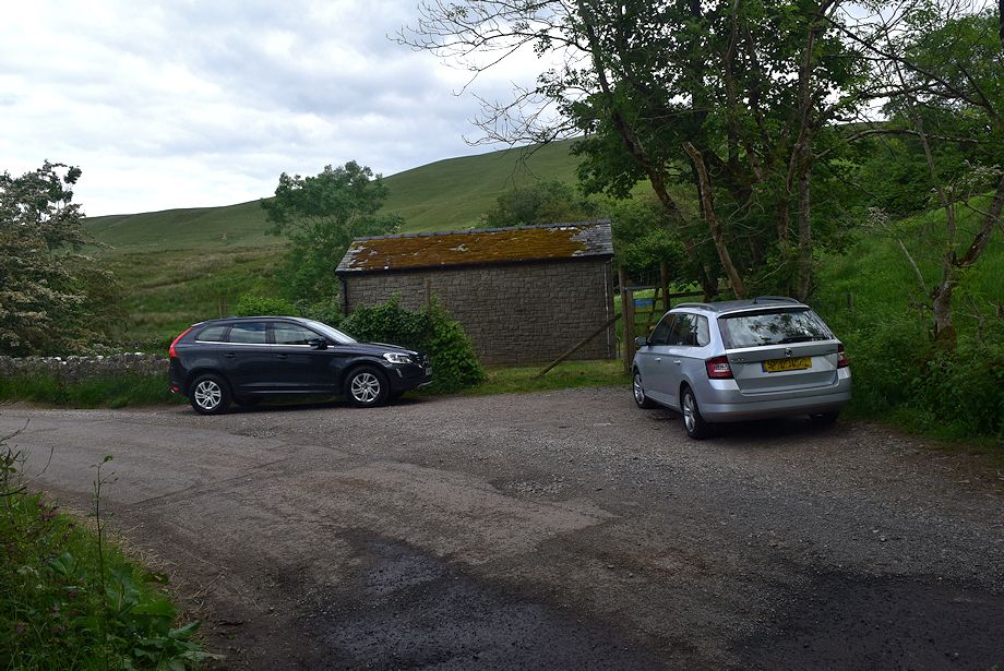
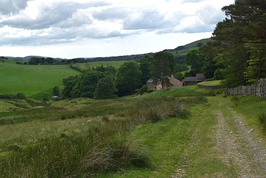
| The United Utilities building in the the hamlet of Longlands at the start of the walk |
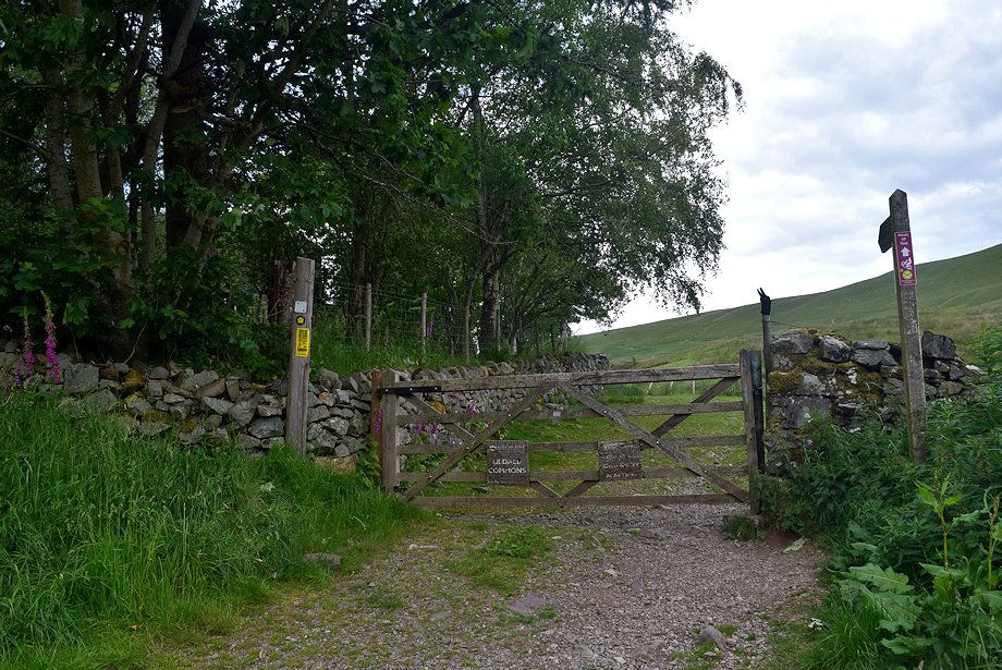 |
| A few yards to the north of the bridge over Longlands Beck a gate gives access to Uldale Commons |
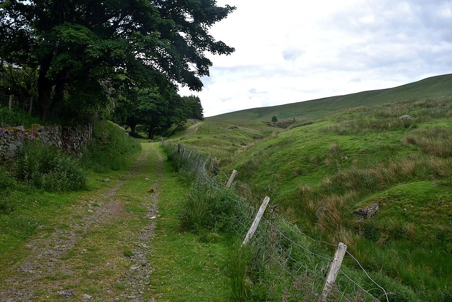 |
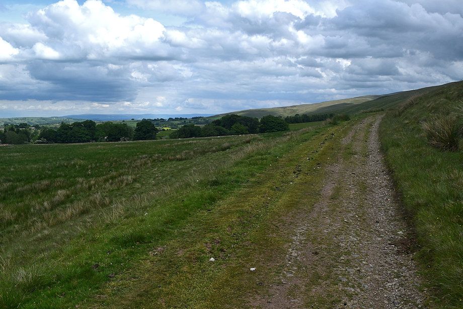
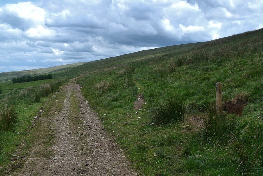
| A wide track leads on from the gate which runs between Longlands and Green Head |
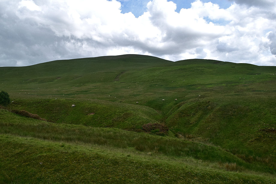 |
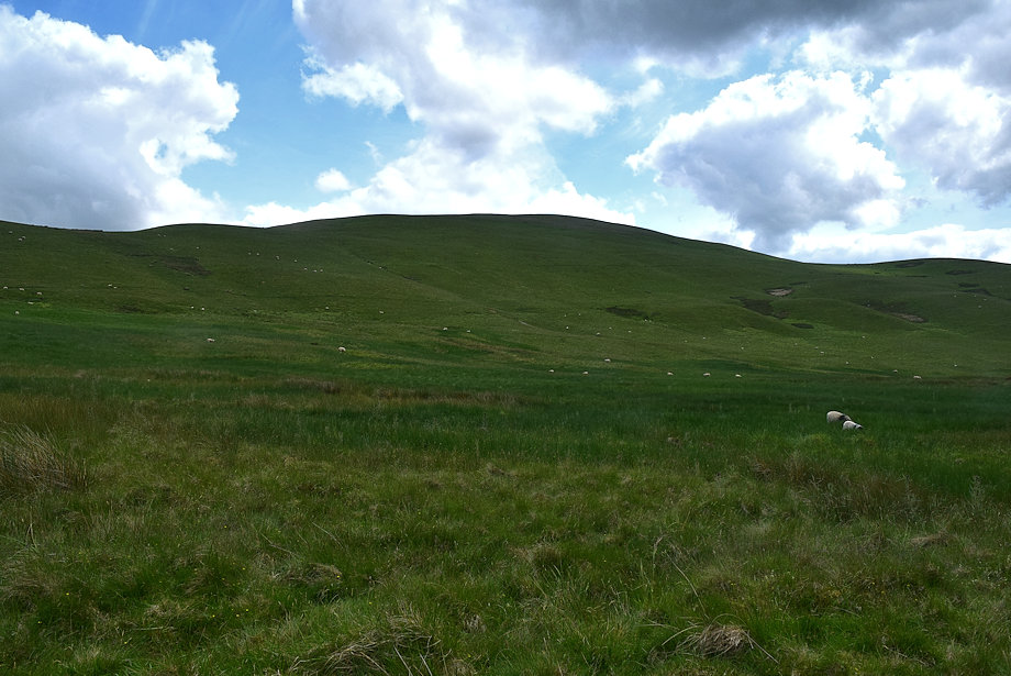
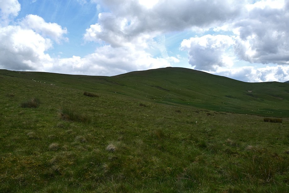
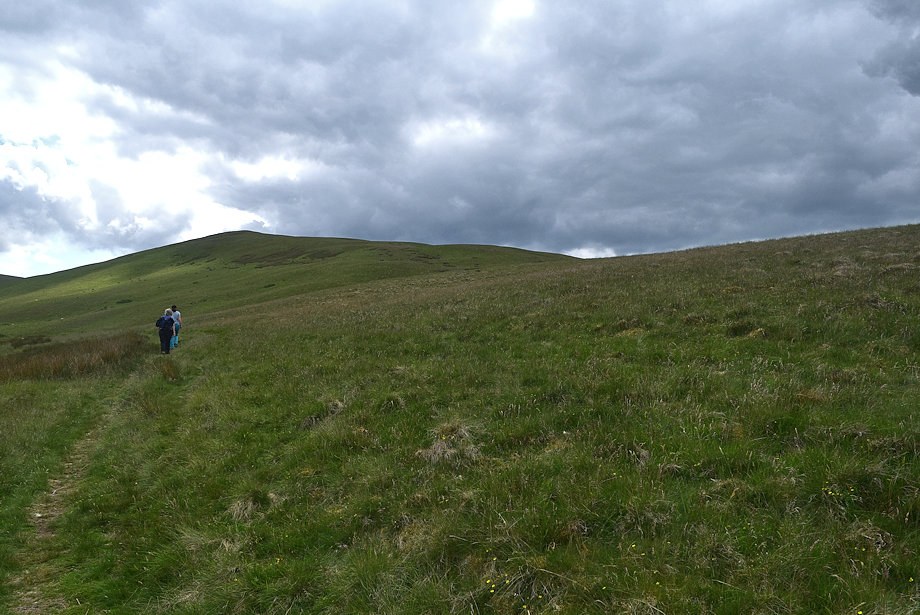
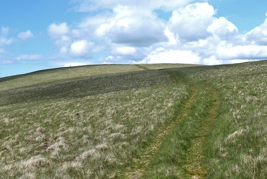
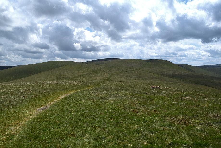
| Longlands Fell and Lowthwaite Fell from the track |
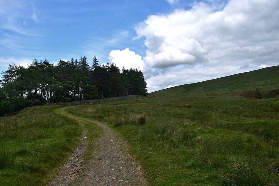 |
| The track,which forms part of the Cumbria Way, passes by the edge of a small plantation |
 |
| Looking over to Skiddaw from the Cumbria Way track |
 |
| Looking back to Longlands |
 |
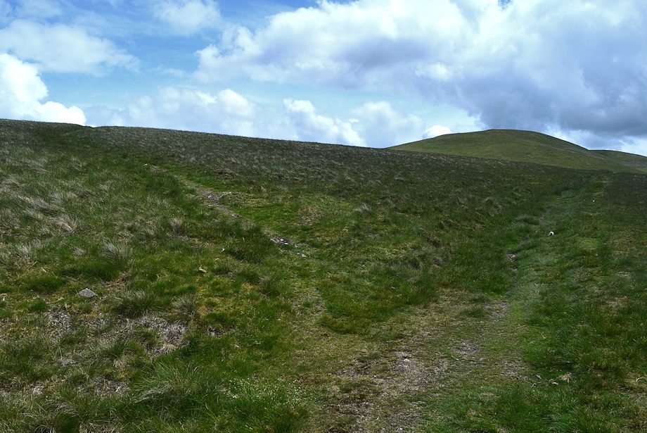
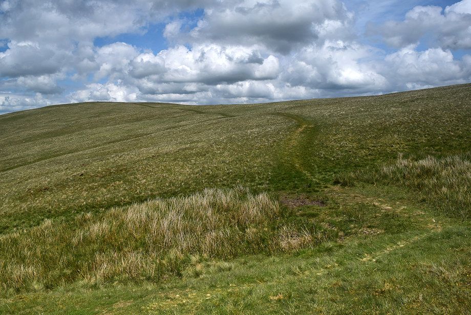
| The track gradually rises to pass over the north ridge of Longlands Fell |
 |
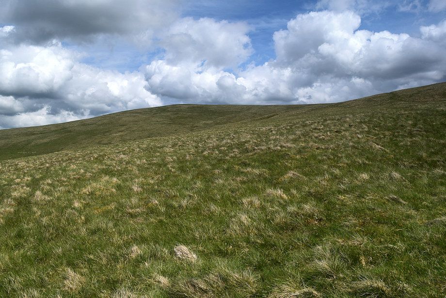
| The western slopes of Longlands Fell |
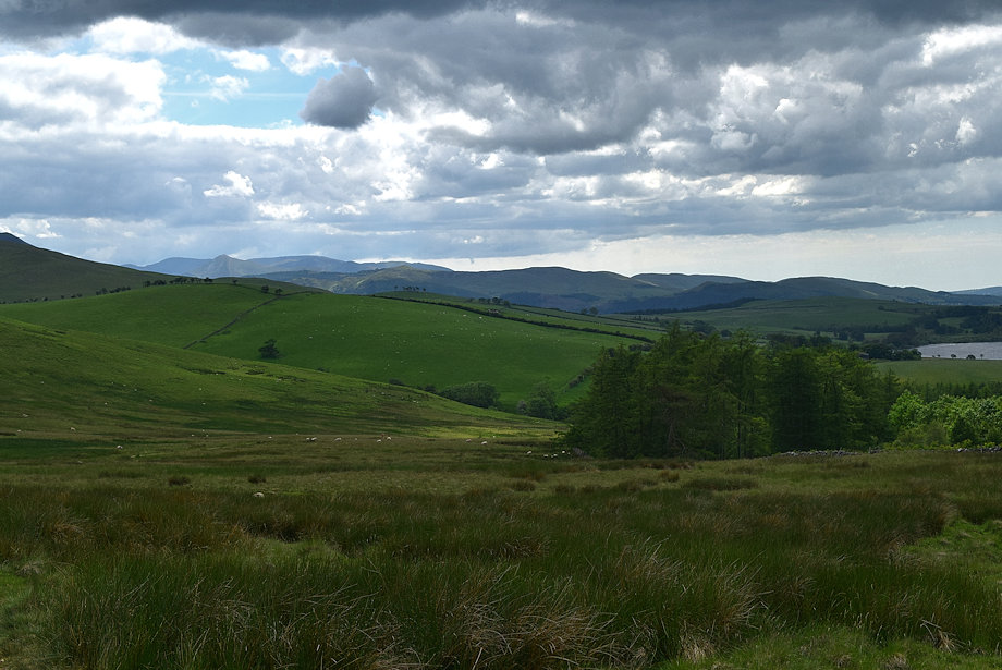 |
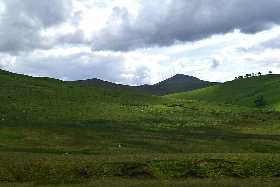
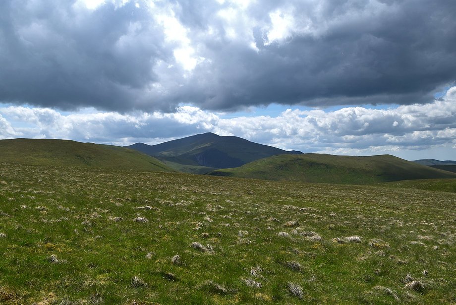
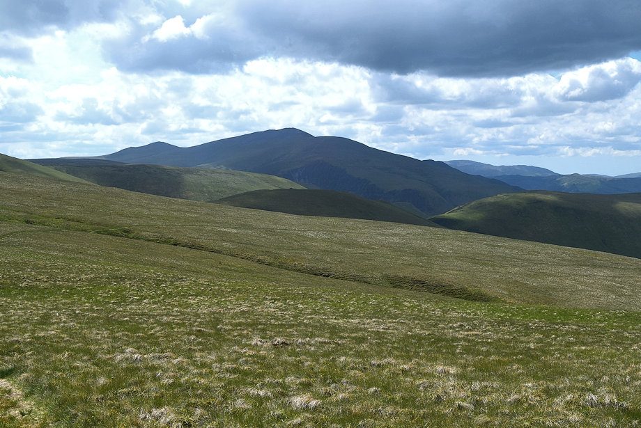
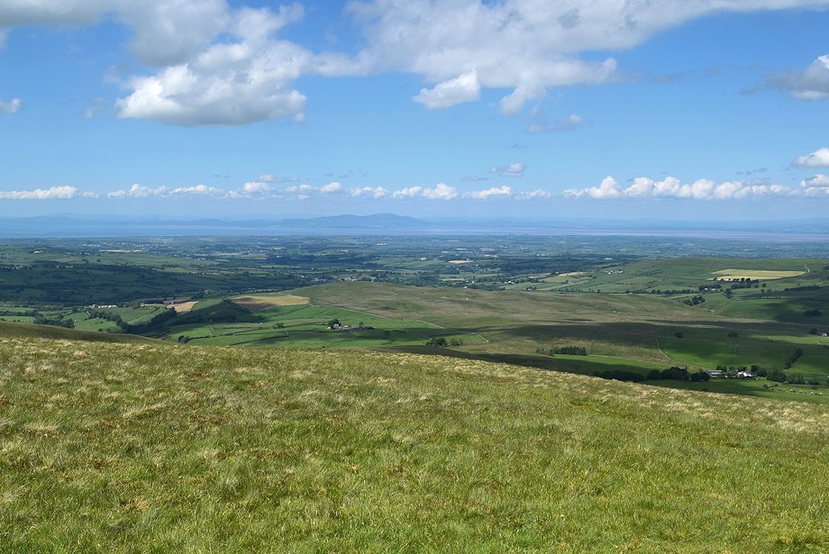
| Looking back, the North Western Fells form the horizon |
 |
| Binsey, the most northerly of the Northern Fells |
 |
| Skiddaw with Long Side and Ullock Pike |
 |
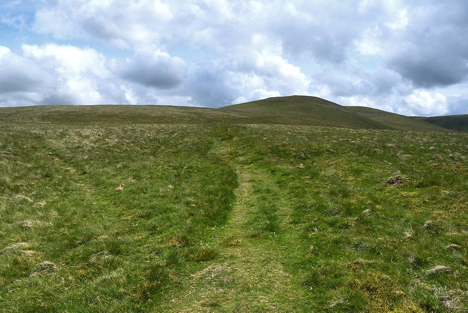
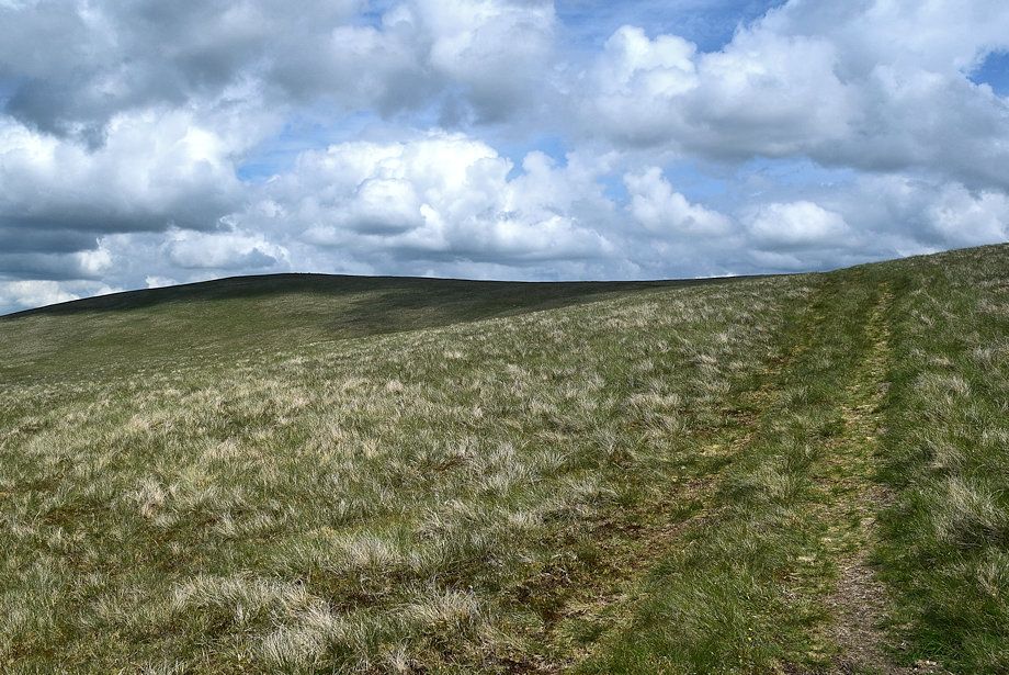
| Longlands Fell is usually climbed from the Cumbria Way track. In a little under half a mile from Longlands an indistinct path turns off it and climbs up to to join its north ridge .......... |
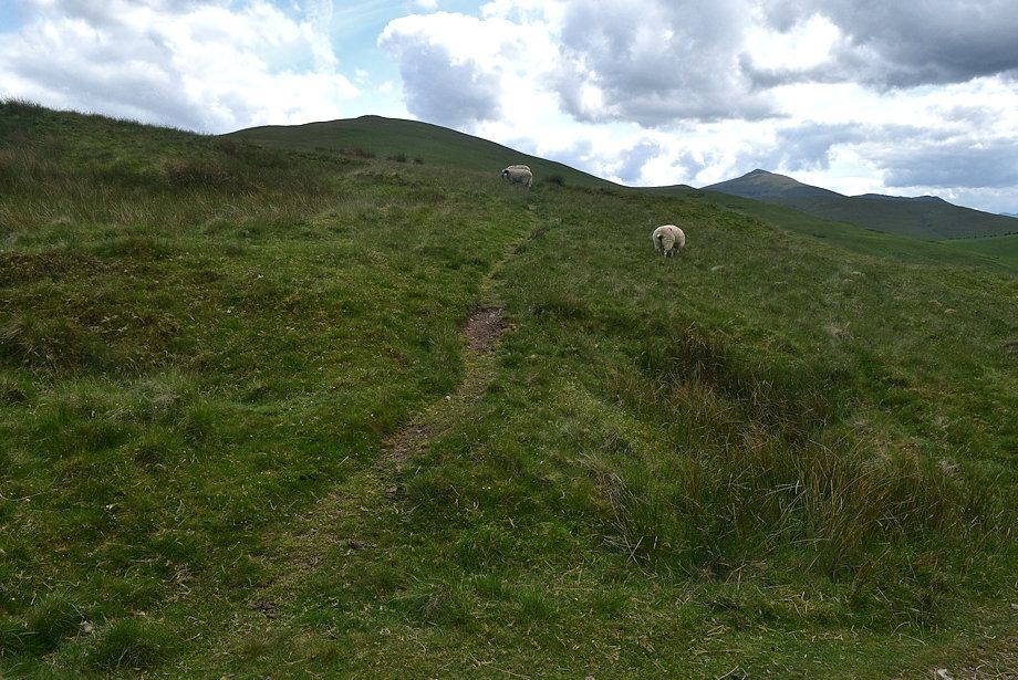 |
| .......... although it's easier to continue on for a further 260 yards to a point where the track begins to cross over the north ridge where a clearer path rises directly to the summit |
 |
| Looking back to Over Water |
 |
| Continue on the Cumbria Way track as it crosses the foot of Longlands Fell's north ridge |
 |
| Turn off half right from the Cumbria Way track where a low guide post indicates the start of a bridleway |
 |
| The summit of Brae Fell soon comes into view as the bridleway crosses the lower slopes of Lodness before descending into the valley of Charleton Gill |
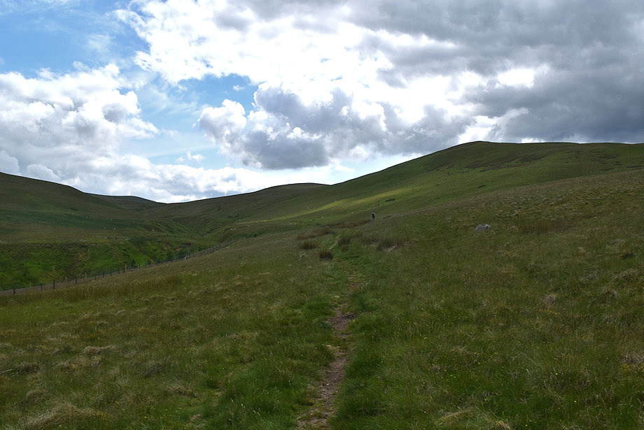 |
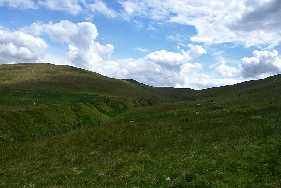
| The bridleway is an ancient drove way which leads along the Charleton Gill valley into the heart of the Uldale Fells |
 |
| The lower part of the gill has been fenced off to protect a new plantation of native trees |
 |
| Stiles over the fence have been provided for walkers who wish to visit the Saddleback ridge in the bed of the gill |
 |
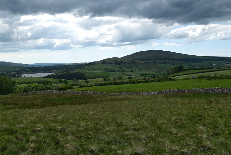
| Longlands Fell from the bridleway |
 |
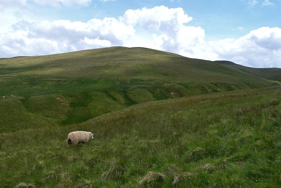
| Little Sca Fell appears to the right of Brae Fell |
 |
| On passing the fenced area it's possible to climb the broad western slopes of Brae Fell by crossing the deep ravine of the gill .......... |
 |
| .......... but it's much easier to continue on the bridleway to the head of the valley |
 |
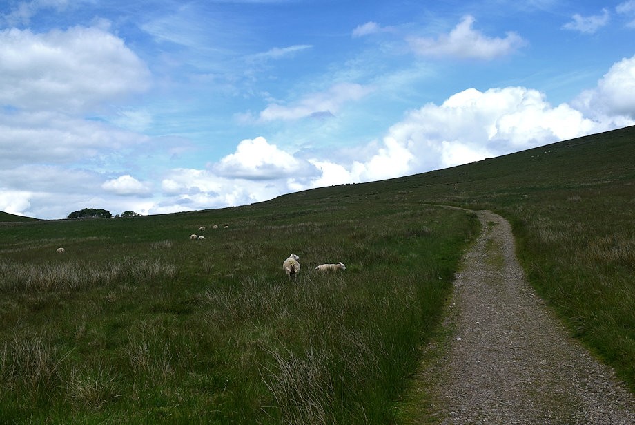
| The bridleway crosses over a very short section of boggy ground as it passes below the col between Longlands Fell and Lowthwaite Fell |
 |
| Little Sca Fell from the bridleway |
 |
| Looking back to the summit of Longlands Fell |
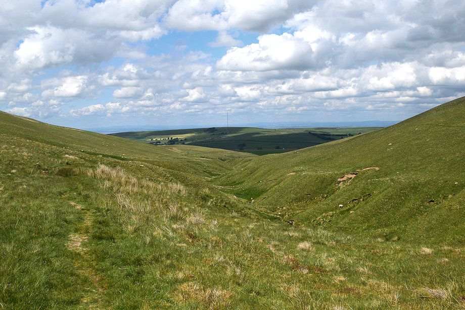 |
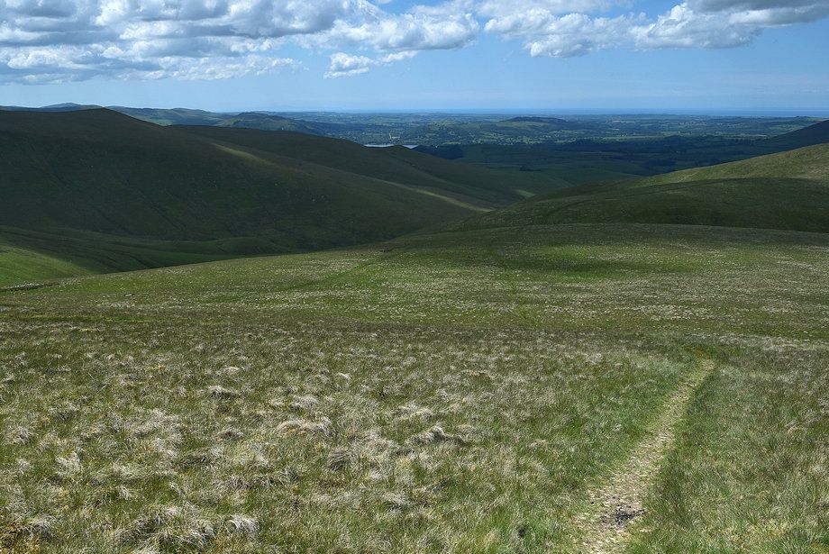
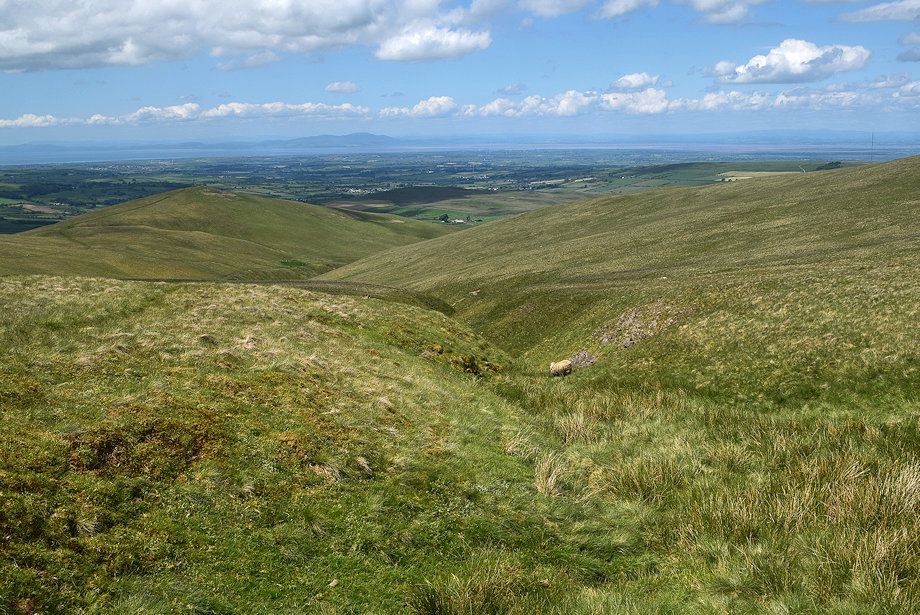
| Looking back along the lower part of Charleton Gill |
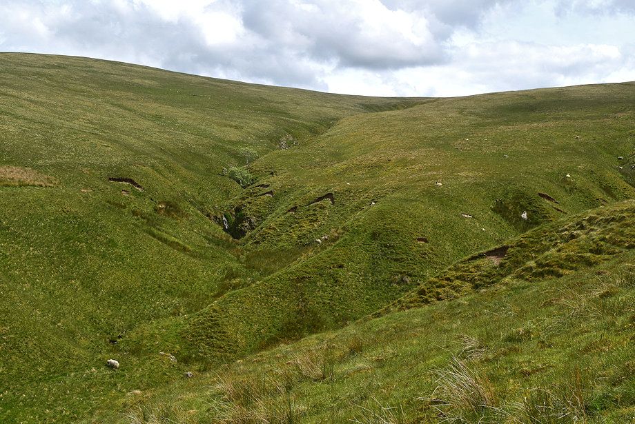 |
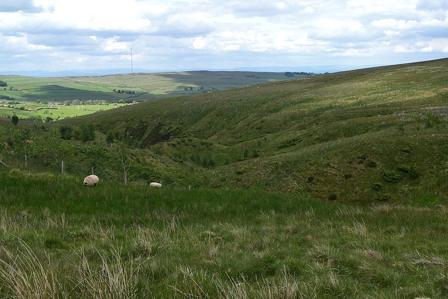
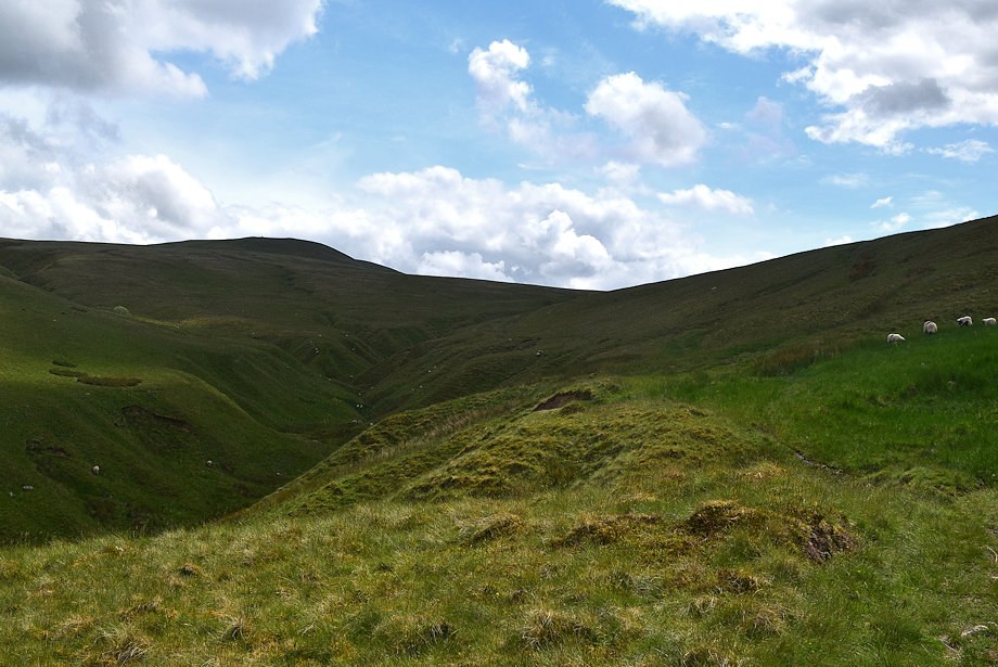
| Two thirds of the way along the valley the main tributary of Charleton Gill falls over the south-western slopes of Brae Fell |
 |
| The bridleway continues to follow the course of the grassy ravine which it crosses near the head of the valley |
 |
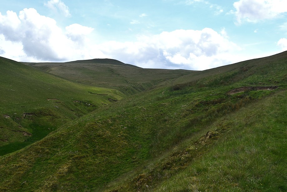
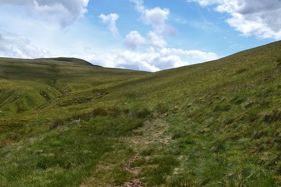
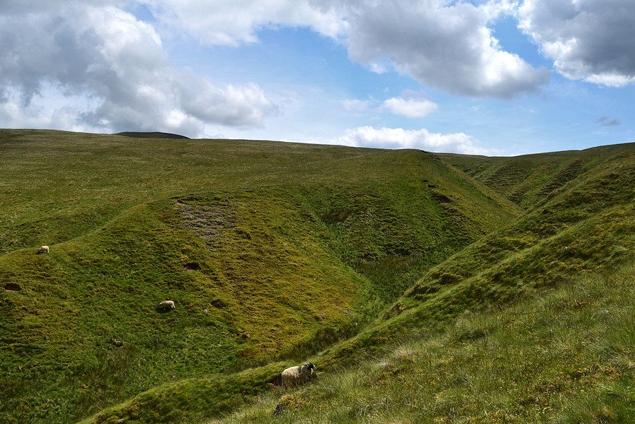
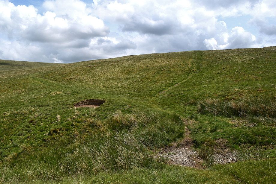
| Approaching the crossing point of the ravine which is much shallower here as it begins to merge into the slope below Broad Moss |
 |
| Looking back to Longlands Fell |
 |
| The crossing point over the ravine, the bridleway continues left, the path ahead is just a 'short cut' |
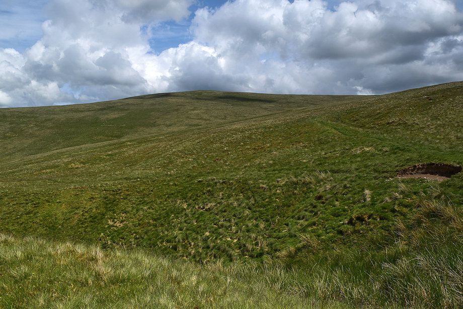 |
| The summit of Brae Fell from the crossing point over the ravine |
 |
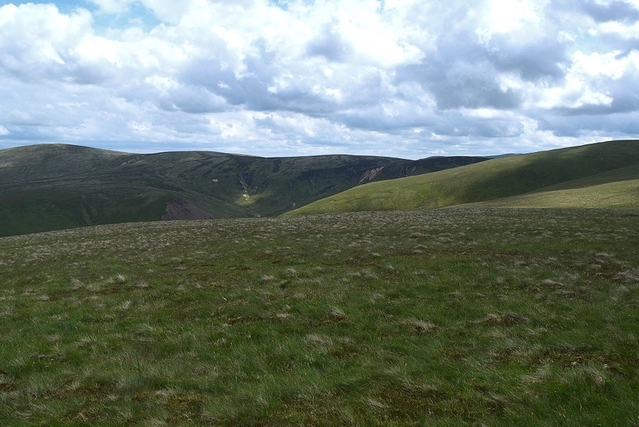
| Looking back along the ravine |
 |
| Looking back to Lowthwaite Fell and Longlands Fell from the bridleway which now climbs up to the col between Brae Fell and Little Sca Fell |
 |
| Skiddaw framed between Meal Fell and Great Cockup |
 |
| Little Sca Fell from the bridleway |
 |
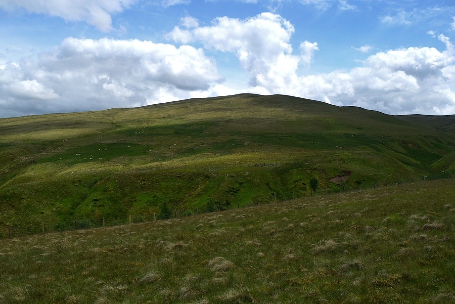
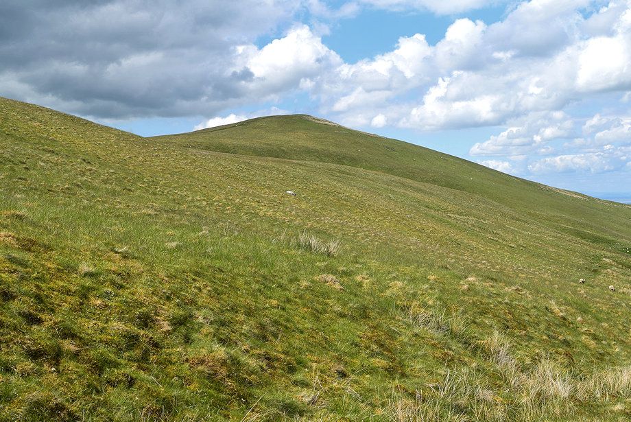
| The summit of Brae Fell from the bridleway |
 |
| Binsey, Lowthwaite Fell and Longlands Fell |
 |
| In a little over a quarter of a mile from the crossing point over the ravine a clear path turns off the bridleway to climb easily across Brae Fell's broad south western slopes |
 |
| Skiddaw across Meal Fell |
 |
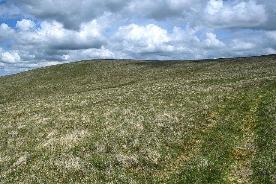
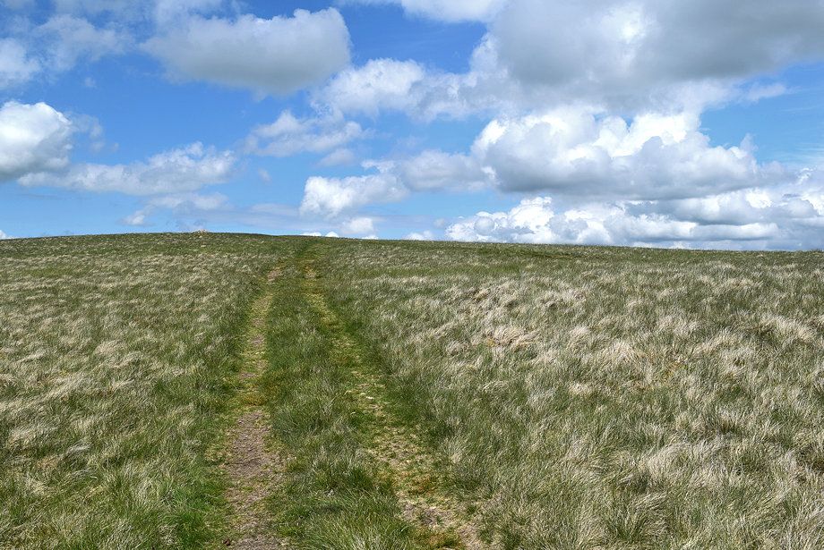
| The path becomes clearer as height is gained |
 |
| Looking back along the path rising from the bridleway |
 |
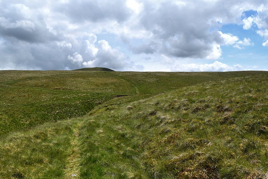
| The path begins to gradually turn to the north as it approaches the head of Charleton Gill |
 |
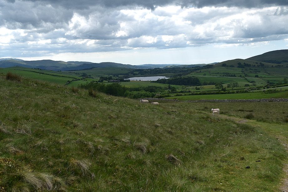
| Looking back, a small section of Bassenthwaite Lake is visible |
 |
| Crossing the head of Charleton Gill |
 |
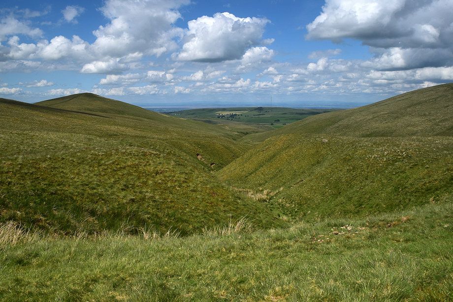
| Looking down Charleton Gill |
 |
| Little Sca Fell from the head of Charleton Gill |
 |
| Looking over towards Binsey, Lowthwaite Fell and Longlands Fell |
 |
| Approaching the ridge line |
 |
| Looking back from just below the ridge line, the path can be seen crossing the head of Charleton Gill centre left |
 |
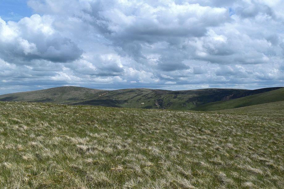
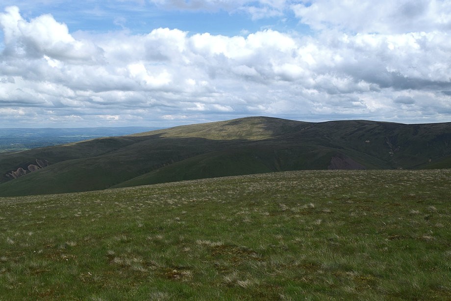
| Great Sca Fell and Little Sca Fell |
 |
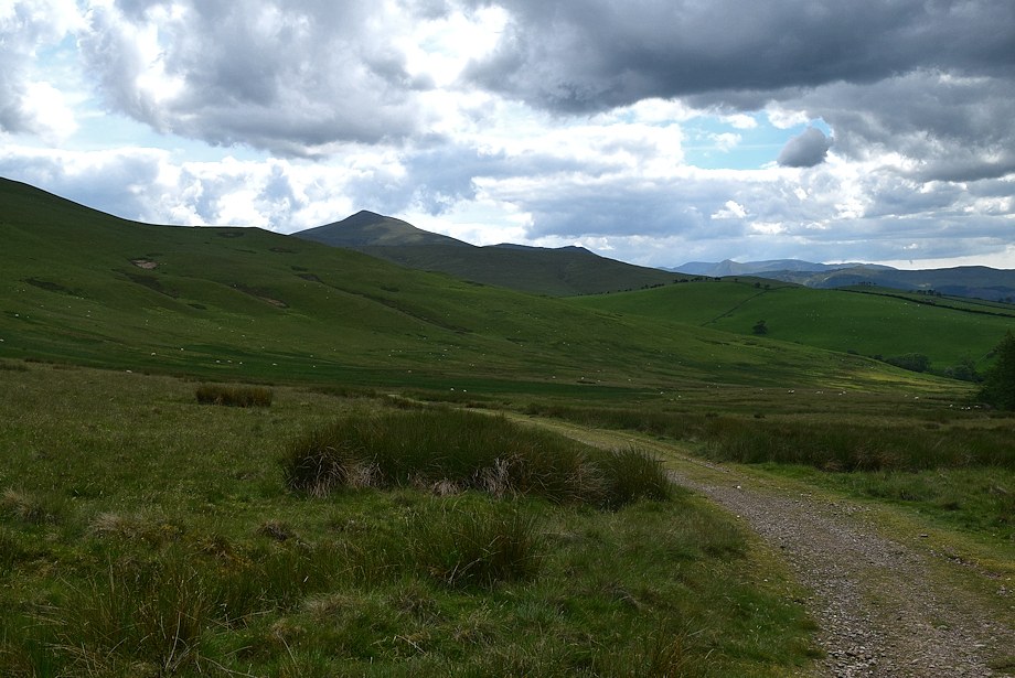
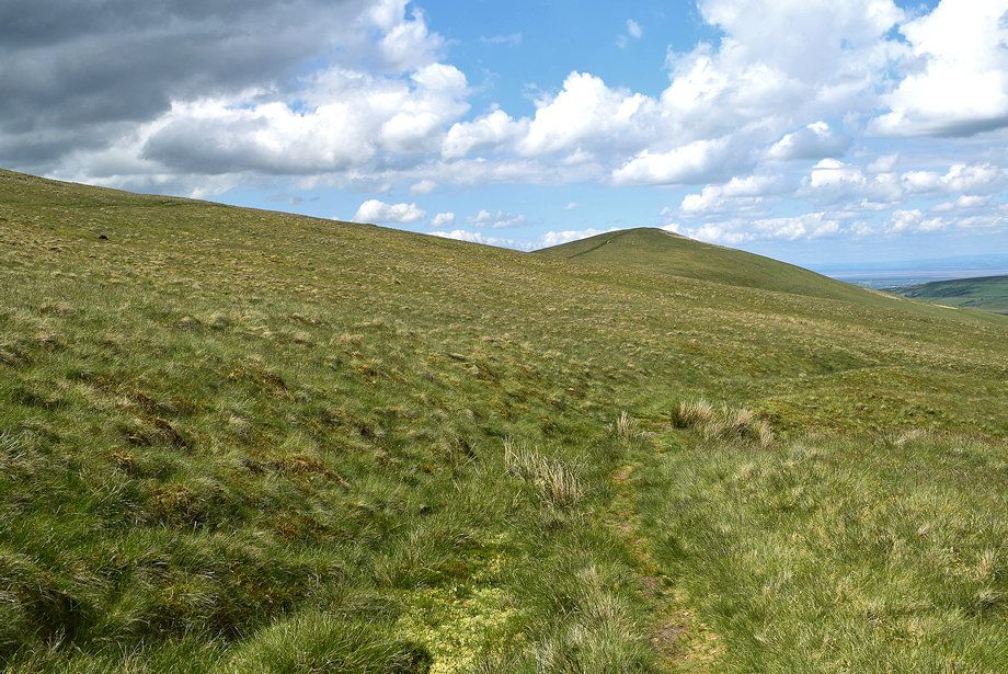
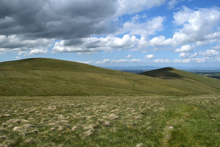
| On reaching the ridge line High Pike comes into view |
 |
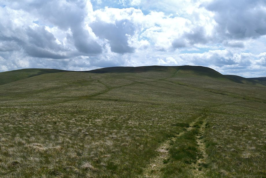
| The summit cairn comes into view |
 |
| Looking back towards Yard Steel, Knott, Great Sca Fell and Little Sca Fell |
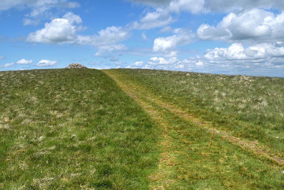 |
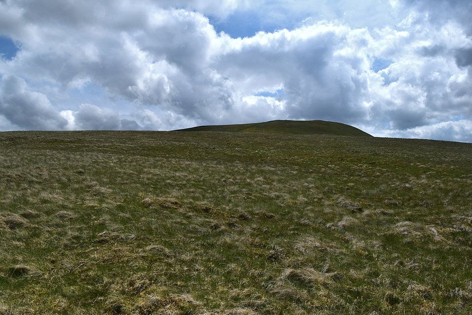
| Approaching the summit of Brae Fell |
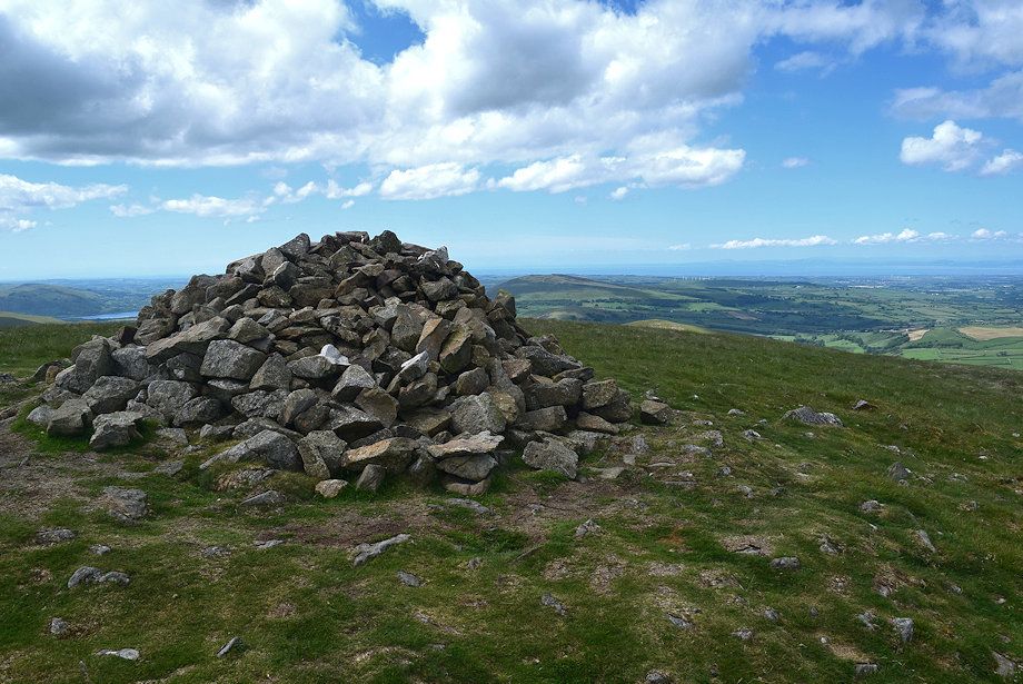 |
| The summit cairn on Brae Fell |
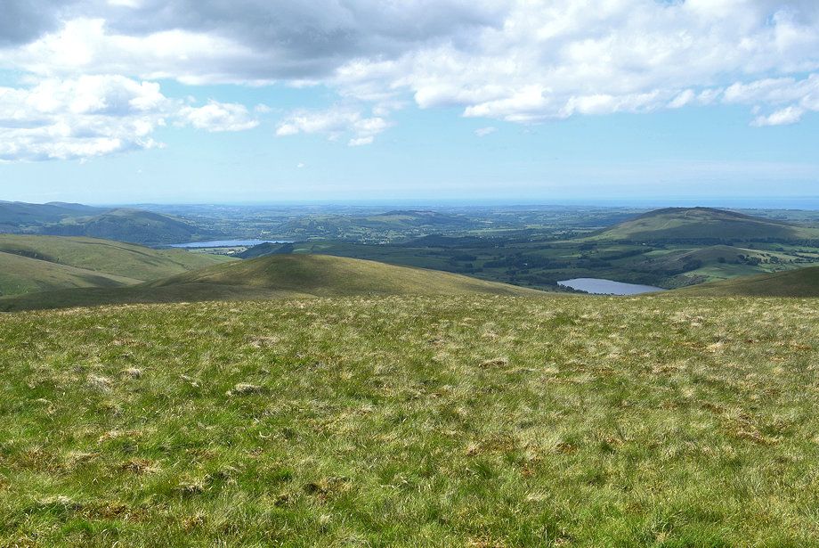 |
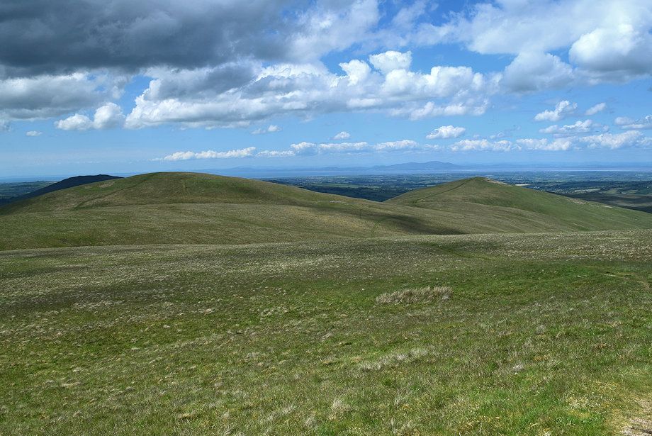
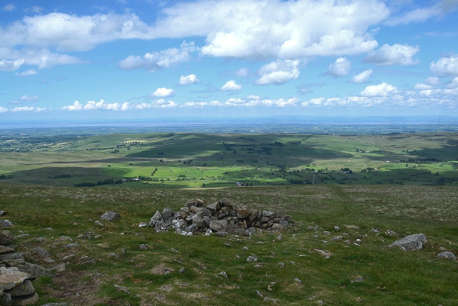
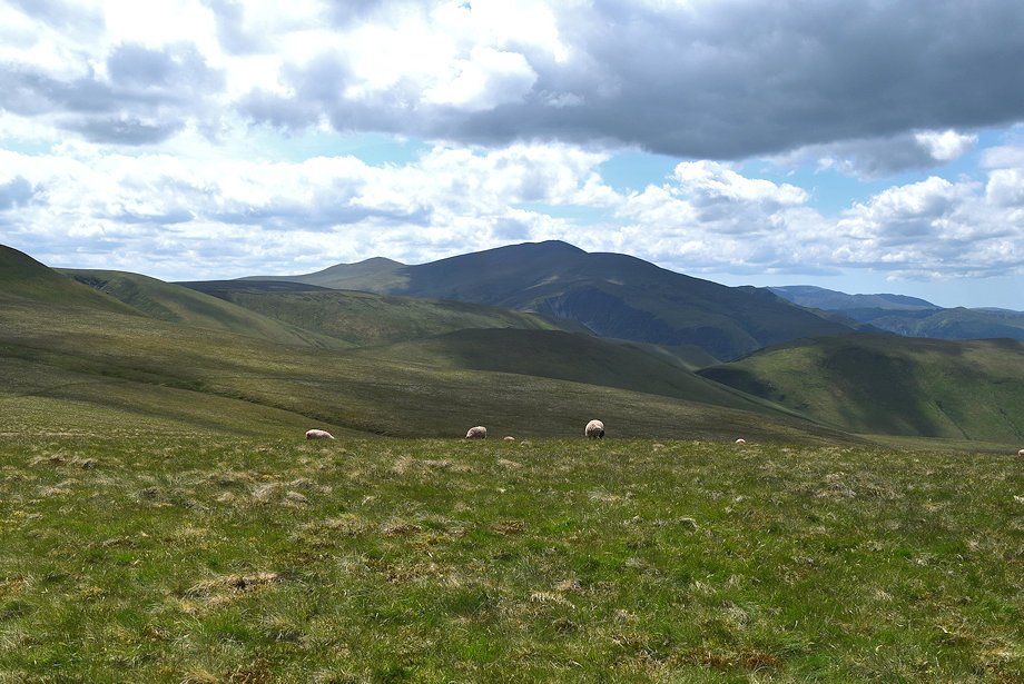
| Bassenthwaite Lake and Over Water from the summit of Brae Fell |
 |
| Criffel from the summit of Brae Fell |
 |
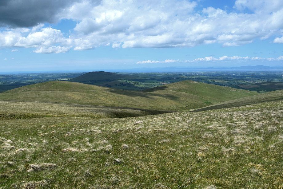
| Looking north from the summit of Brae Fell |
 |
| High Pike from the summit of Brae Fell |
 |
| High Pike, Hare Stones, Great Lingy Hill, Iron Crag and Yard Steel from the summit of Brae Fell |
 |
| Yard Steel, Knott, Great Sca Fell, Little Sca Fell, Frozen Fell and Burn Tod from the summit of Brae Fell |
 |
| Skiddaw from the summit of Brae Fell |
