
| Bowfell - Route One |
| Start - ODG Hotel NY 285 060 | Distance - 3.3 miles | Ascent - 2,670 feet | Time - 2 hours : 40 minutes |
 |
| The National Trust car park beside the Old Dungeon Ghyll Hotel |
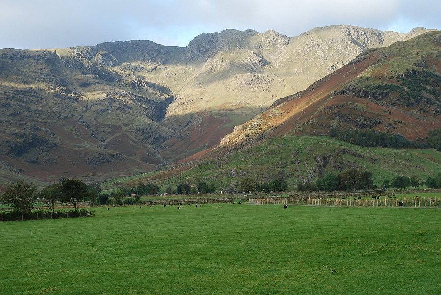 |
| Crinkle Crags above Oxendale from the approach road to Stool End Farm at the foot of The Band |
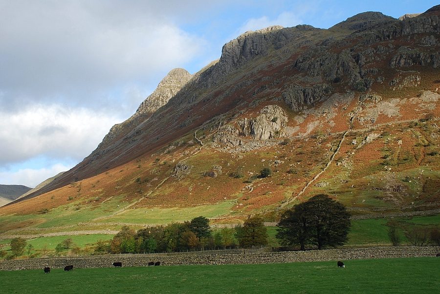 |
| Looking right from the Stool End road to Pike o' Stickle and Gimmer Crag |
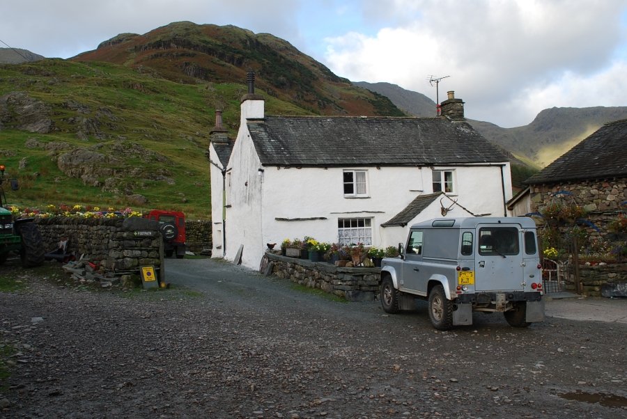 |
| Stool End Farm, the path passes to the left of the farmhouse |
 |
| The popular route to Bowfell via The Band leaves the track at the top of a short rise. The track continues on into Oxendale |
 |
| Martcrag Moor and Pike o' Stickle across Mickleden |
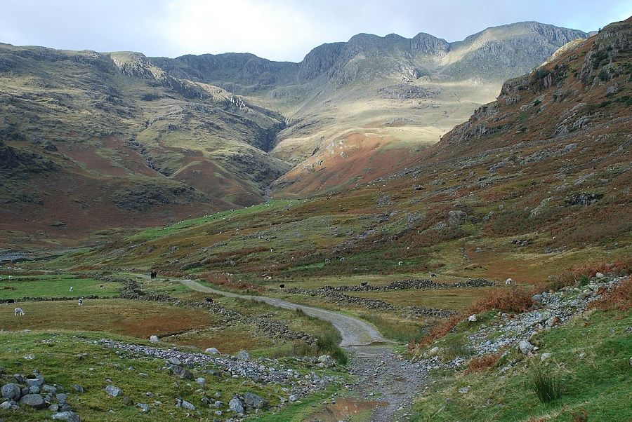 |
| Crinkle Crags above the head of Oxendale |
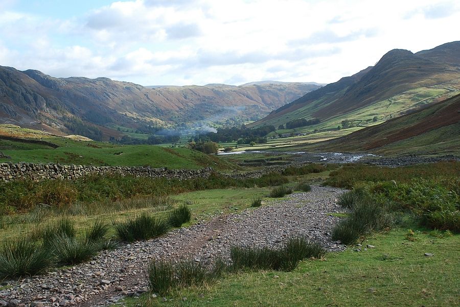 |
| Looking back to Great Langdale |
 |
| Looking up to Shelter Crags from the path alongside Oxendale Beck |
 |
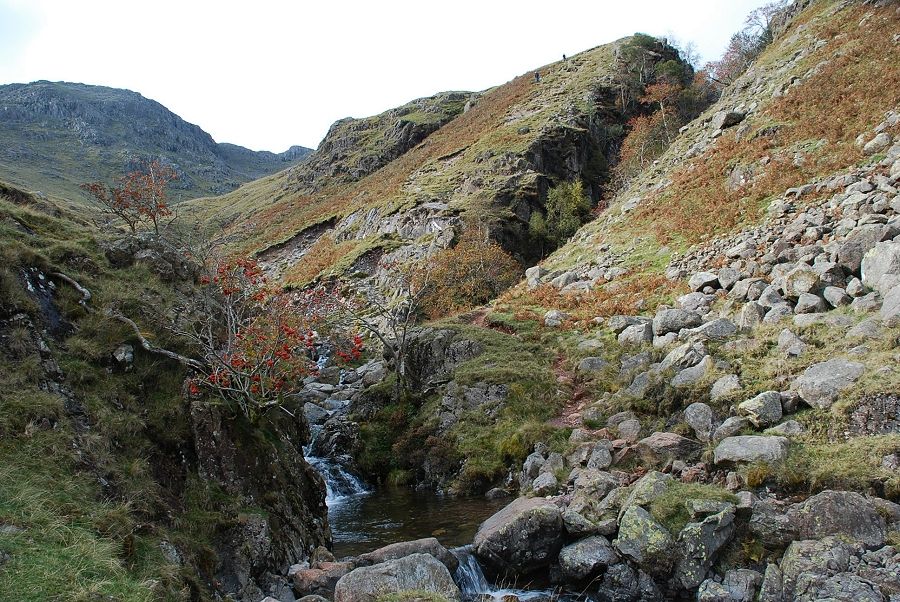
| Crinkle Gill |
 |
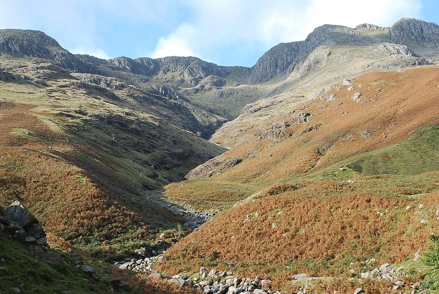
| Whorneyside Force and the summit of Bowfell come into view |
 |
| A short distance past Crinkle Gill there is a substantial footbridge crossing Buscoe Sike |
 |
| Looking back from the footbridge over Buscoe Sike to Great Langdale |
 |
|
The path passes above the impressive cascade of Whorneyside Force |
 |
| Above Whorneyside Force the path re-crosses Buscoe Sike and climbs beside the deep cleft of Hell Gill |
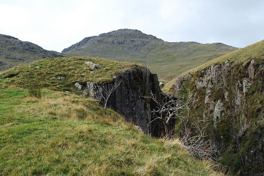 |
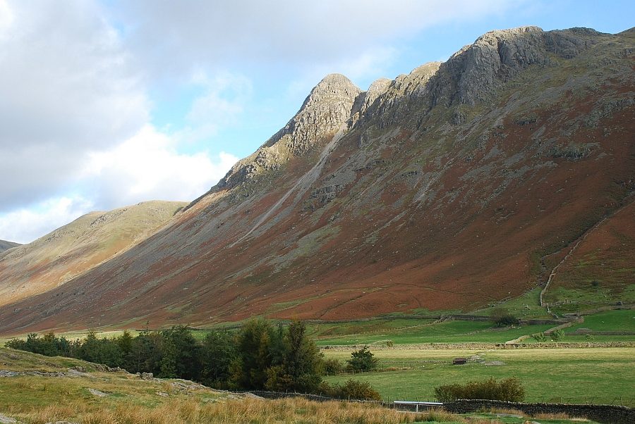
| Bowfell from Hell Gill |
 |
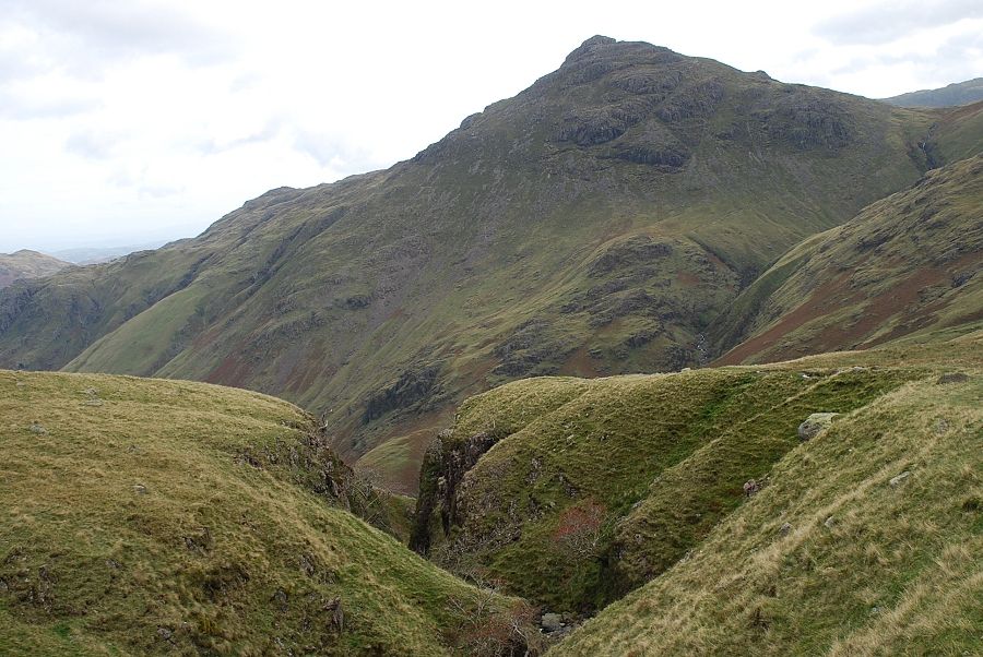
| Bowfell above the upper reaches of Buscoe Sike. The route continues on towards the col of Three Tarns |
 |
| Pike o' Blisco from the top of Hell Gill |
 |
| The path is indistinct in parts but improves as it nears the col |
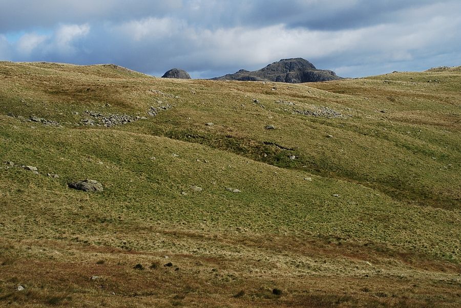 |
| The summits of Pike o' Stickle and Harrison Stickle appear over The Band |
 |
| Approaching the col where this route joins the path from The Band |
 |
| Looking back to the Langdale Pikes from The Band path |
 |
| Looking back from the col along the route |
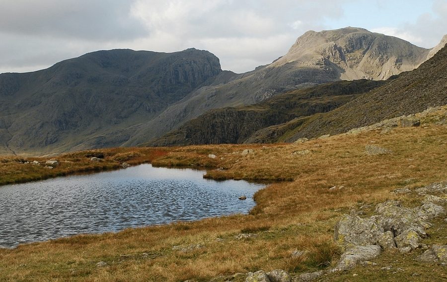 |
| Scafell and Scafell Pike from Three Tarns |
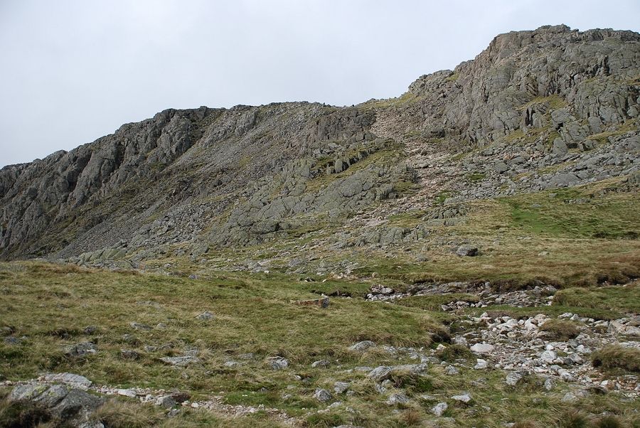 |
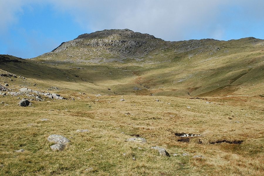
| From Three Tarns a very rough and stony path leads up the southern flank of Bowfell |
 |
| Scafell from the path above Three Tarns |
 |
| Looking up the higher part of the path above Three Tarns |
 |
| From the same point looking down to Three Tarns |
 |
| The view to Eskdale from the path |
 |
| Slight Side and Scafell |
 |
| The path emerges onto the summit ridge near the top of Flat Crags where the view opens out to the north |
 |
| Passing the Great Slab of Flat Crags |
 |
| The summit of Bowfell from the Great Slab |
 |
| Scafell and Scafell Pike from the ridge path below the summit |
 |
| Approaching the summit of Bowfell |
 |
| Esk Pike from the summit of Bowfell |
 |
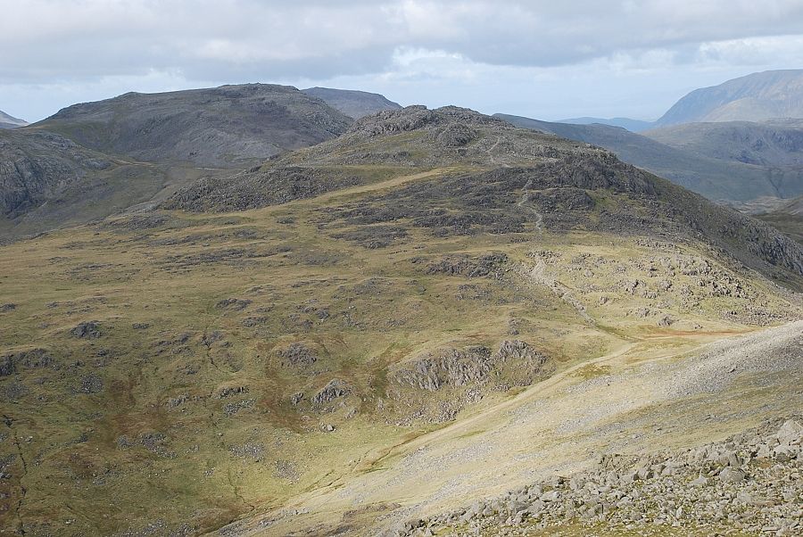
| The North Western fells from the summit of Bowfell |
 |
| Looking north to Skiddaw |
 |
| Langstrath with Blencathra on the horizon |
 |
| The Great Slab and the Langdale Pikes |
 |
| Pike o' Blisco and Wetherlam |
 |
| Hard Knott and Harter Fell |
 |
| Slight Side and Cam Spout Crag above Great Moss |
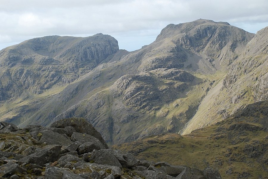 |
| Scafell and Scafell Pike from the summit of Bowfell |
|