 |
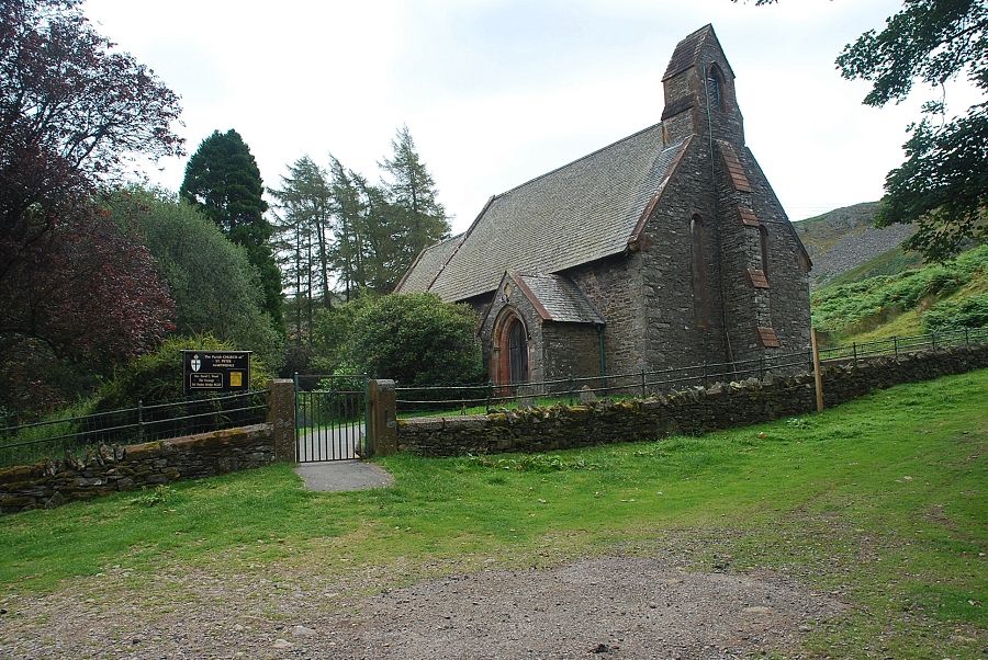
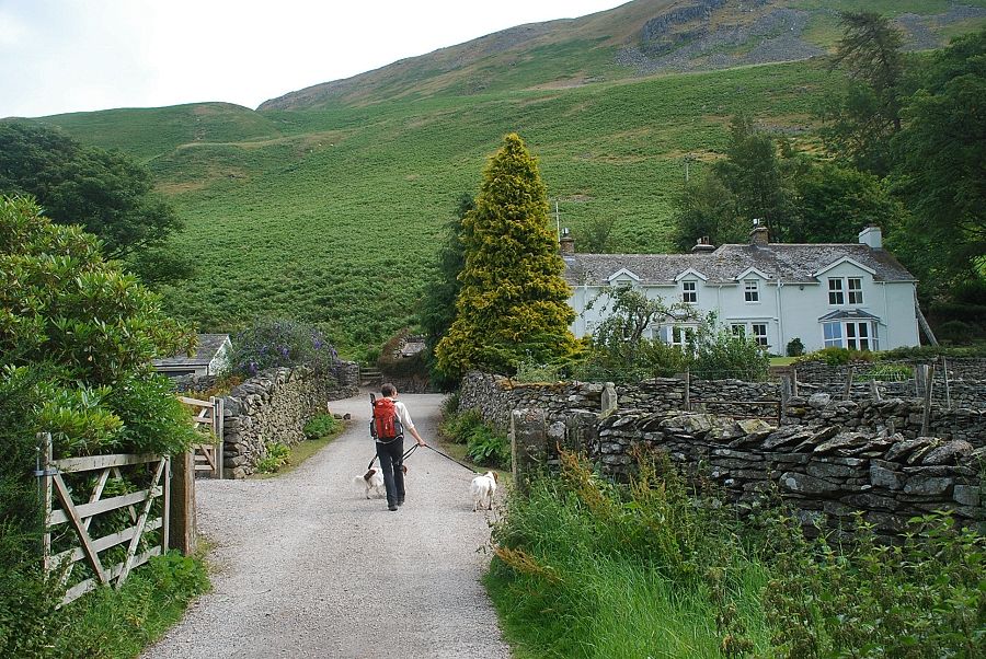
| St. Peter's Church on Martindale Hause is the starting point for this walk. There is ample parking available opposite and beside the church where a sign indicates the start of a bridleway to Howtown |
 |
| Bonscale Pike from the bridleway behind the church |
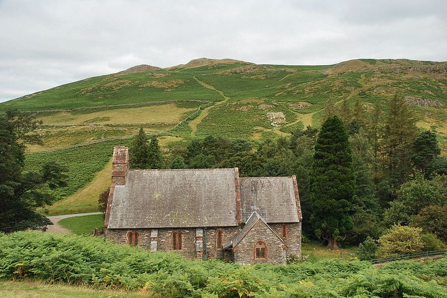 |
| Lookng back to St. Peter's Church and Hallin Fell |
 |
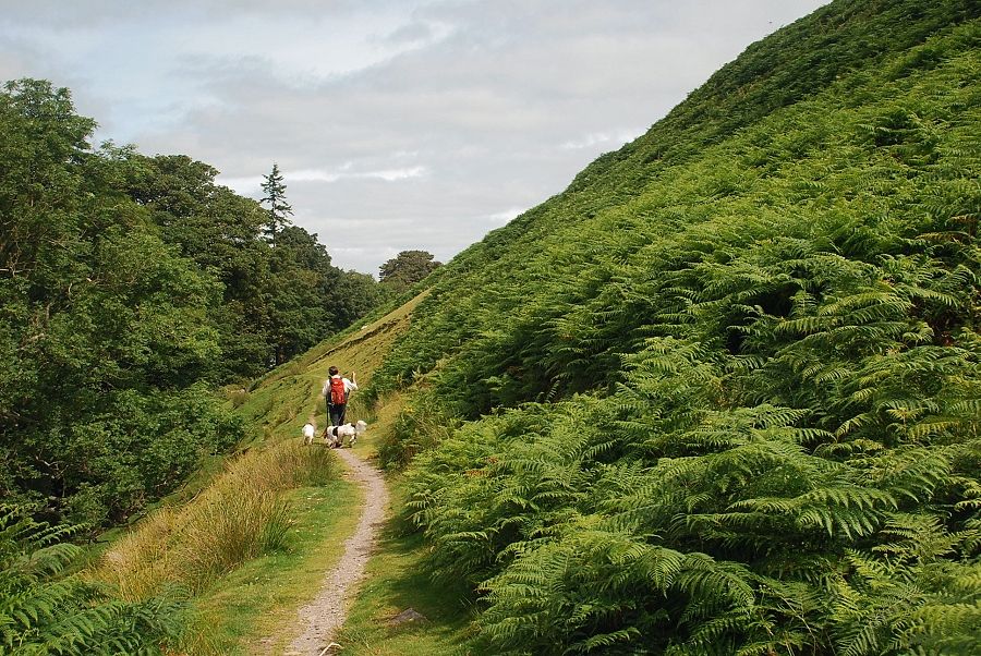
| Heading down the bridleway to Howtown which descends between The Coombs and Steel End |
 |
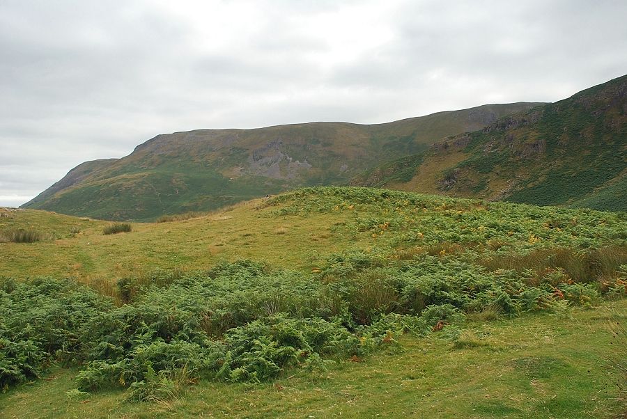
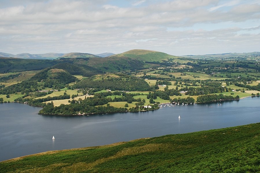
| Looking over The Coombs, the low ridge in the foreground, to Ullswater |
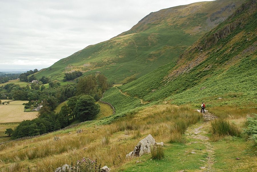 |
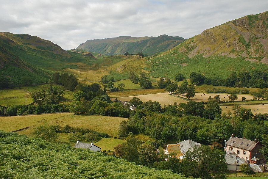
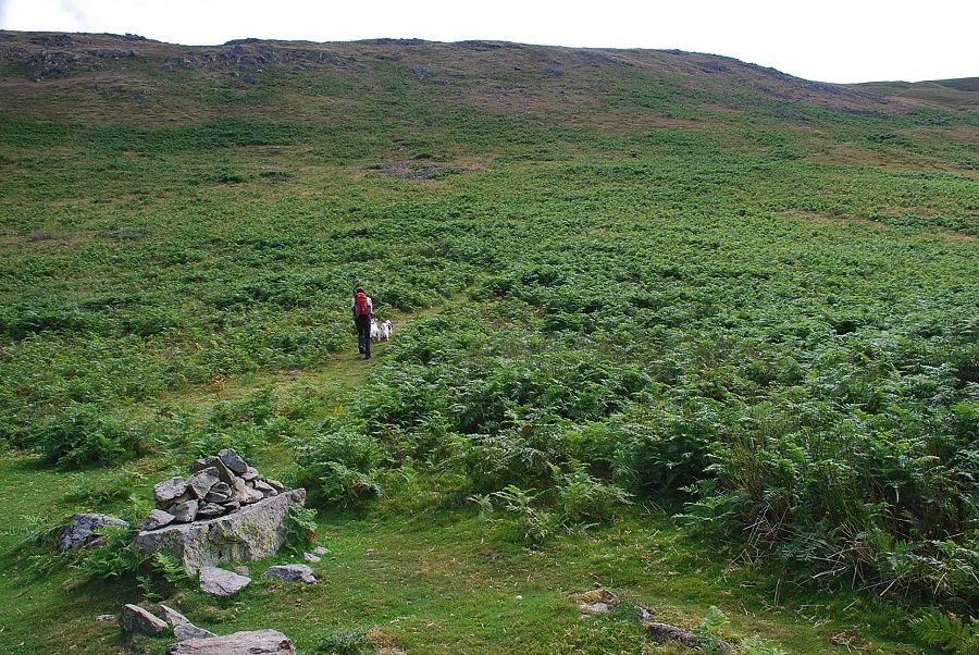
| Nearing the foot of Steel End with the buildings of Howtown just visible amongst the trees on the left. Our ascent path can be seen in the centre of the photo rising steeply through the bracken on the western flank of Bonscale Pike |
 |
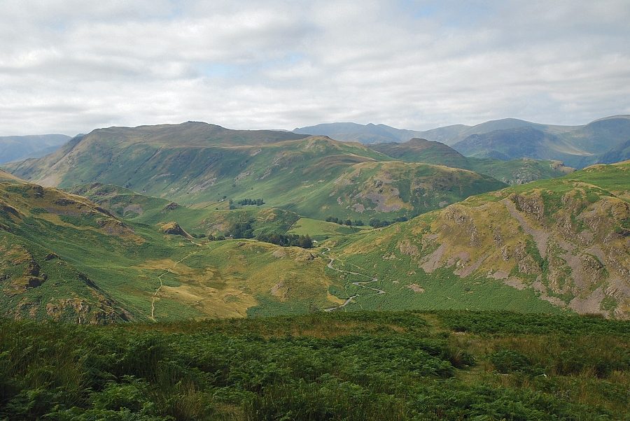
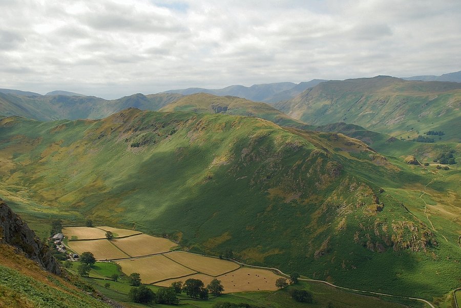
| Looking back to The Coombs and Martindale Hause with Place Fell and High Dodd on the centre skyline |
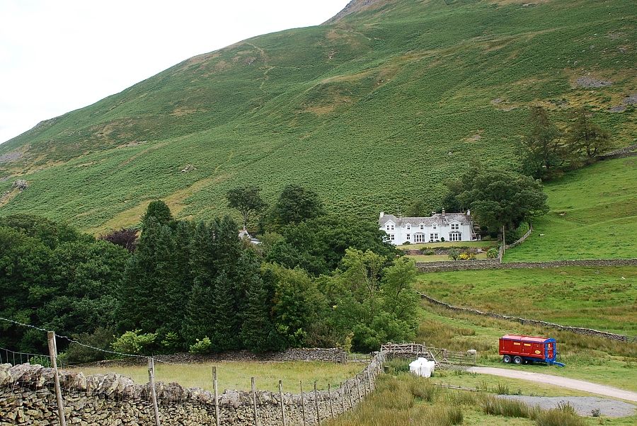 |
| The bridleway meets a farm road where a left turn leads to Mellguards driveway |
 |
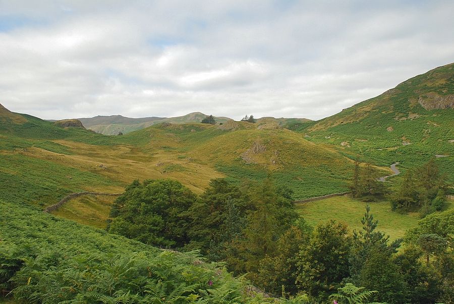
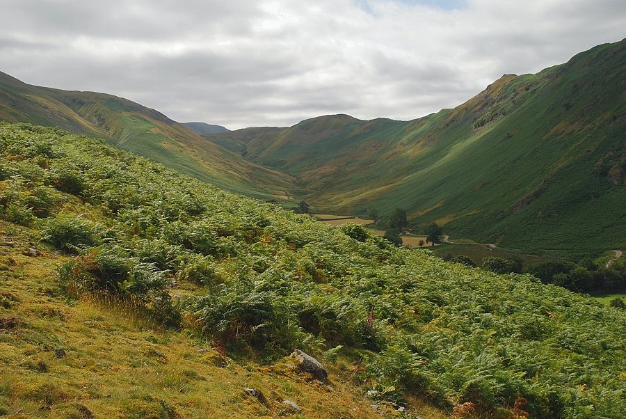
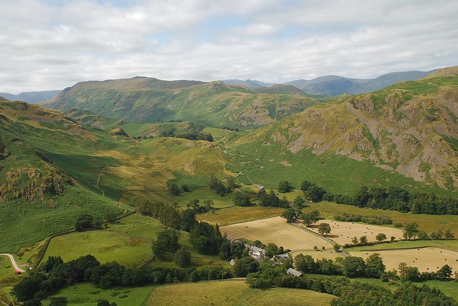
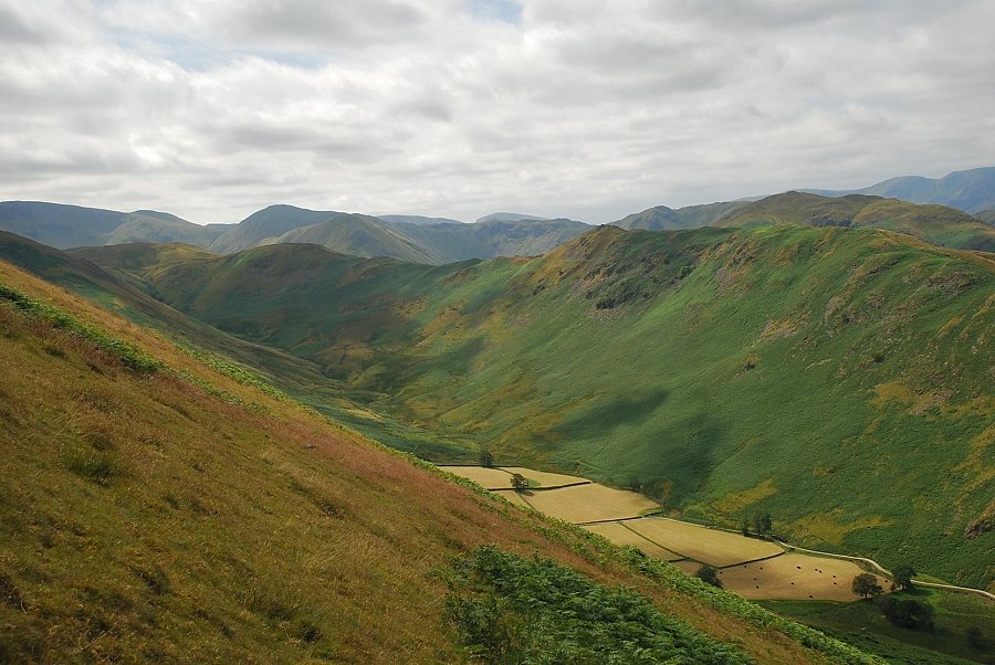
| The secluded valley of Fusedale |
 |
| Heading up the private drive to Mellguards, a gate to the left of the house gives access to the open fellside |
 |
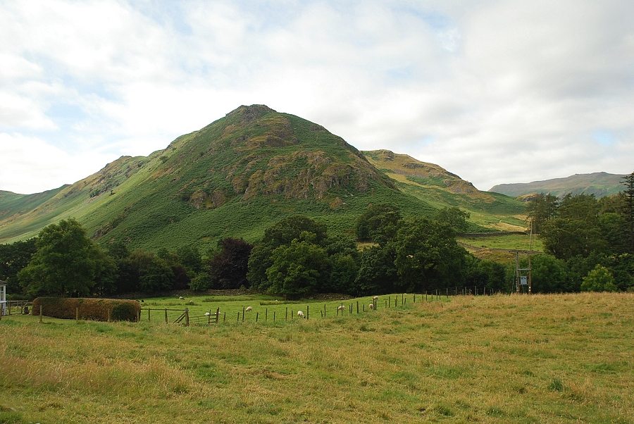
| Looking back to Steel Knotts from the fell gate |
 |
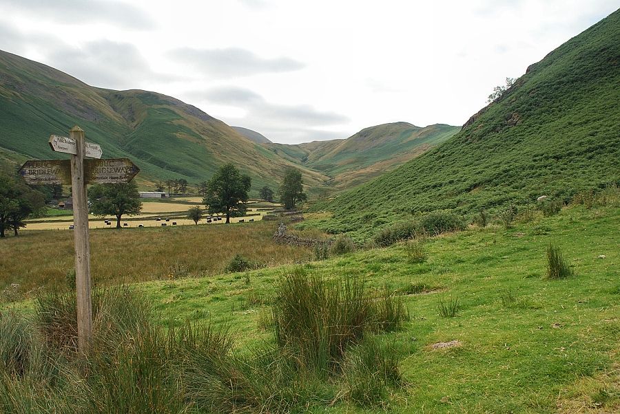
| Continuing on the bridleway, which eventually leads to Pooley Bridge at the far end of Ullswater. The bridleway is only followed for a short distance from the gate before embarking on the Bonscale Pike ascent path, its start can be difficult to locate in the tall bracken |
 |
| Looking back to Martindale Hause backed by Place Fell |
 |
| Looking back towards Steel Knotts from the bridleway |
 |
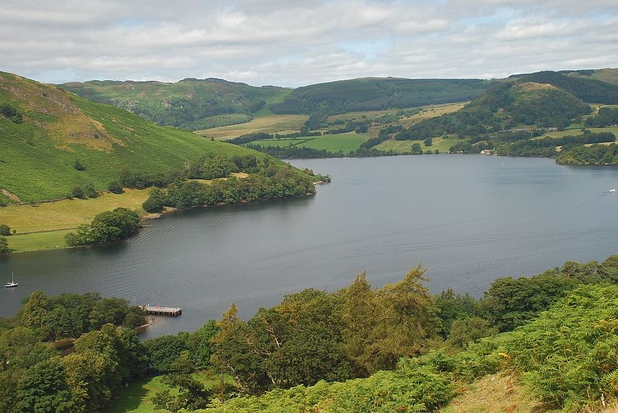
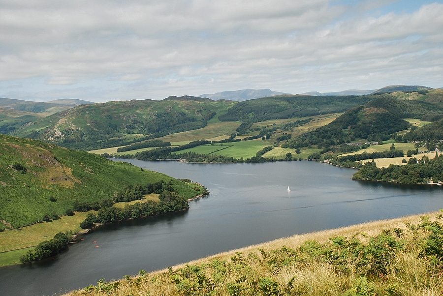
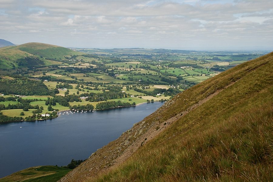
| Howtown Wyke and the ferry landing pier |
 |
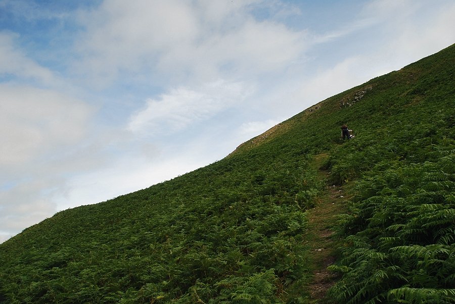
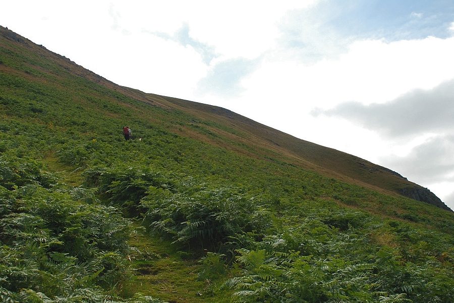
| Starting the climb up the west flank of Bonscale Pike |
 |
| Place Fell above Martindale Hause |
 |
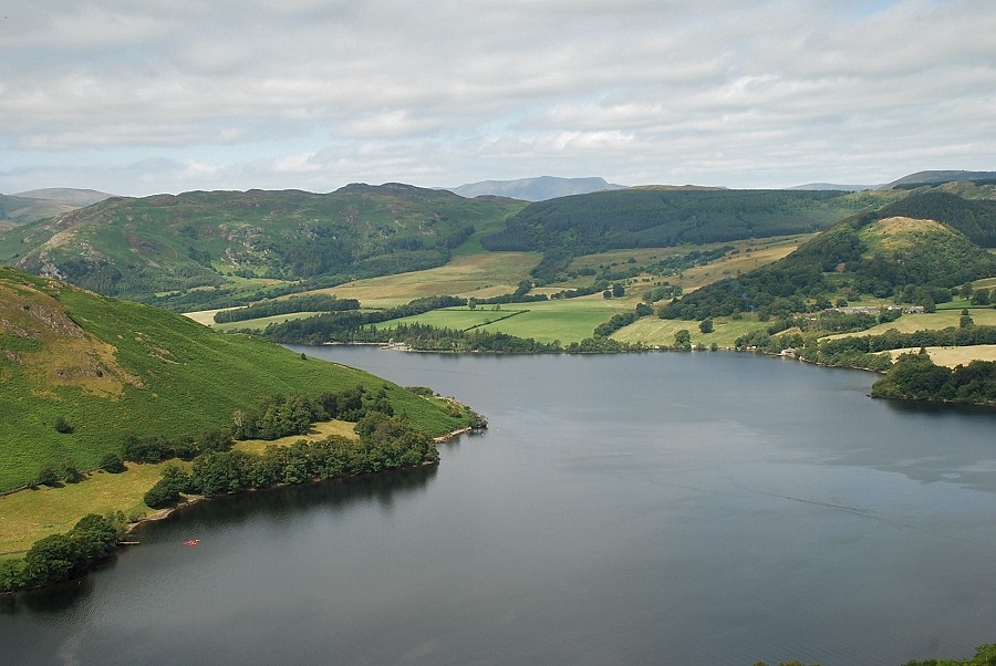
| Swinburn's Park and Little Mell Fell across Ullswater |
 |
| Gowk Hill at the head of Fusedale |
 |
| Looking across Hallin Fell's north-east ridge to Gowbarrow Fell |
 |
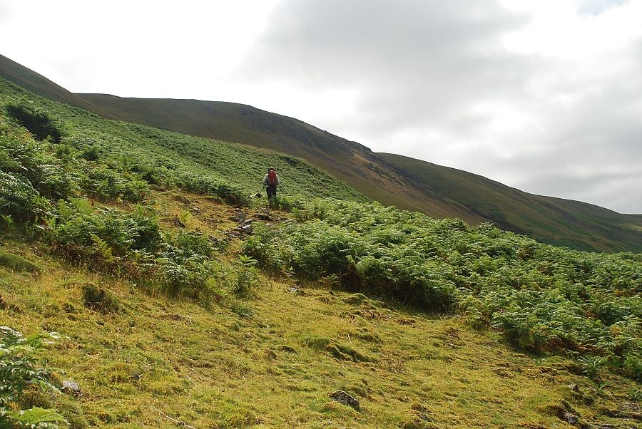
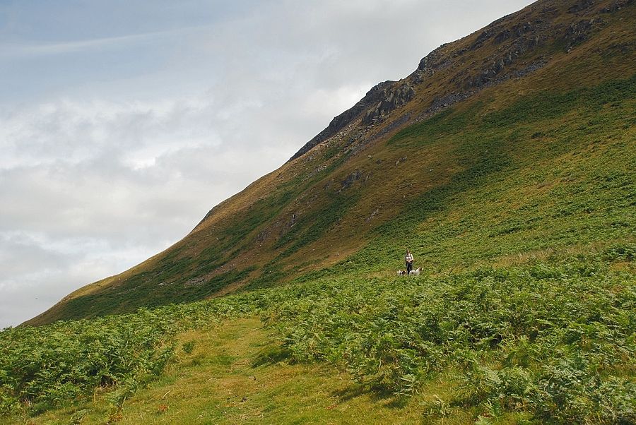
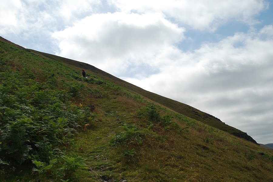
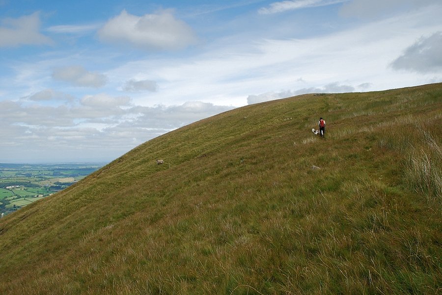
| This lower part of the ascent is the steepest section |
 |
| Height is gained quickly and the views open out, here Helvellyn and Catstycam appear over High Dodd and Sleet Fell in the centre of the photo |
 |
| High Street and Thornthwaite Crag above Gowk Hill |
 |
| Blencathra appears on the skyline above Swinburn's Park |
 |
| The steepest part of the ascent ends at a level shoulder below an escarpment of broken crags and scree |
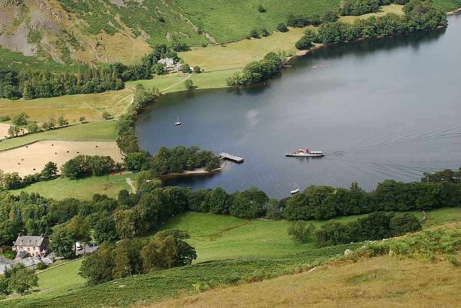 |
| One of the Ullswater steamers approaching the Howtown pier. |
 |
| AW notes this cairn on a boulder on his diagram of this ascent. A clear path leads up from it, traversing the slope towards the low point on the right. It improves as height is gained and becomes a well defined groove which eventually turns back left to reach the summit ridge |
 |
| Martindale Hause and Place Fell from the level shoulder |
 |
| Ullswater and Gowbarrow Fell from the level shoulder |
 |
| Starting up the traversing path from the cairn |
 |
| Looking back to Hallin Fell from the cairn |
 |
| Great Mell Fell and Little Mell Fell |
 |
| The grooved path on the upper slopes |
 |
| Gowk Hill and Pikeawassa, the summit of Steel Knotts, above Fusedale |
 |
| The grooved path turns back left to reach the summit ridge |
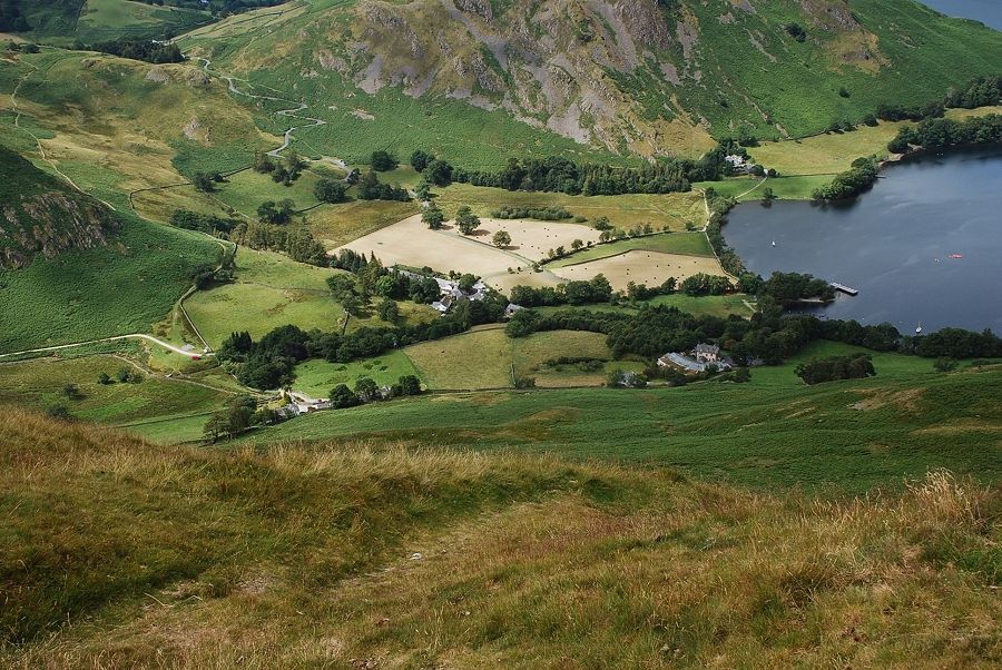 |
| Looking down to Howtown from the grooved path |
 |
| Looking across the the steep upper slopes of Bonscale Pike. The traversing path has neatly avoided all the rocks and scree |
 |
| Lower Fusedale and Steel Knotts from the grooved path |
 |
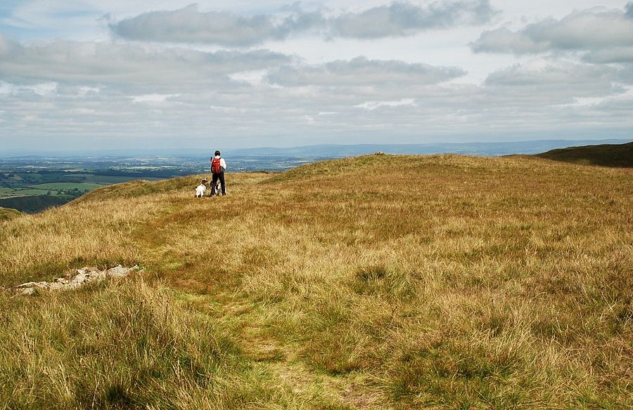
| Higher up the path seems to fade as it nears the summit ridge which proves to be just a succession of grassy mounds |
 |
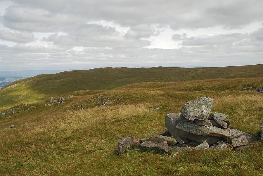
| Approaching the summit of Bonscale Pike |
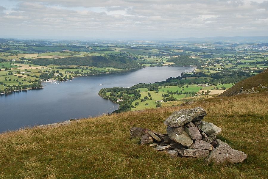 |
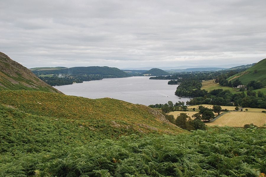
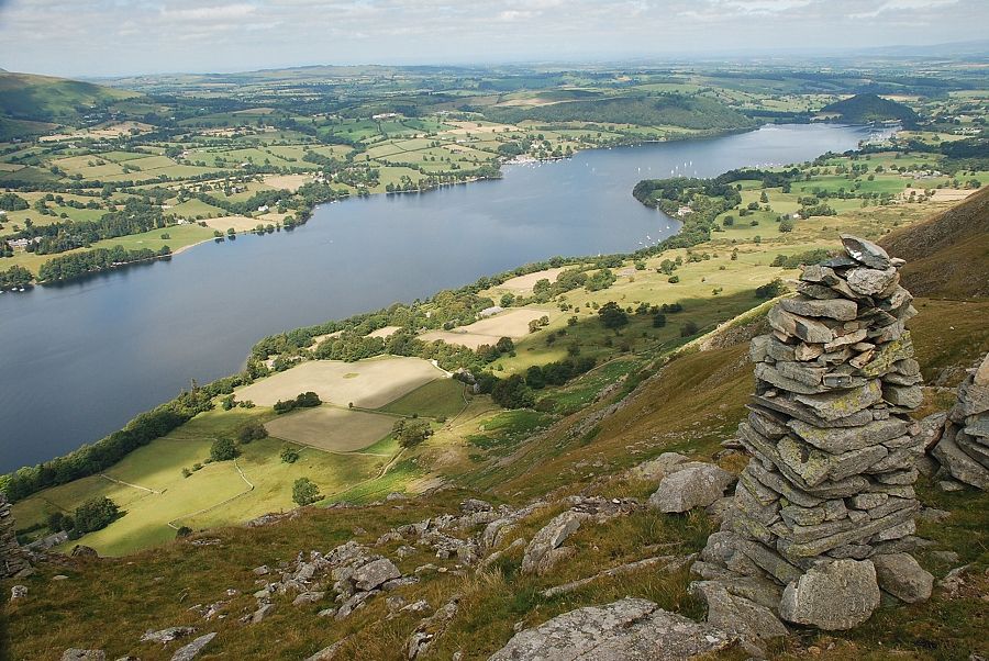
| Ullswater from the summit of Bonscale Pike |
 |
| Arthur's Pike from the summit of Bonscale Pike |
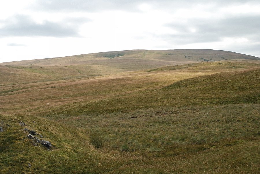 |
| Loadpot Hill from the summit of Bonscale Pike |
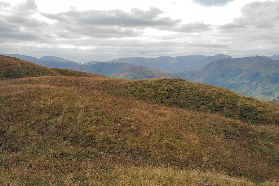 |
| The view to the south-west. Caudale Moor, Red Screes, Little Hart Crag, Dove Crag, Hart Crag, Fairfield, St. Sunday Crag and Dollywaggon Pike form the horizon from left to right in the photograph |
 |
| The Eastern Fells of Helvellyn, White Side, Raise, Stybarrow Dodd, Hart Side and Great Dodd on the horizon |
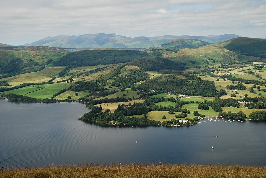 |
| The Northern Fells on the horizon ranging from Skiddaw on the left to Carrock Fell on the right |
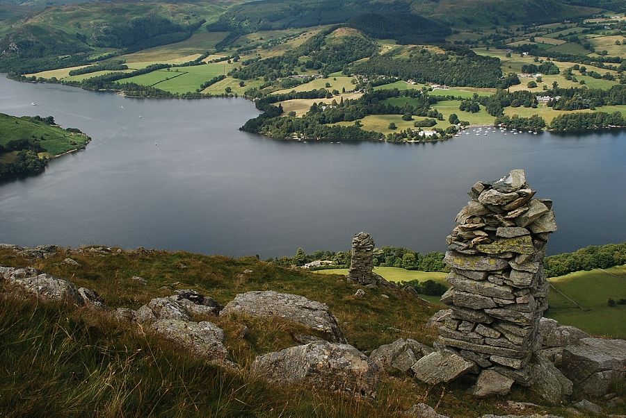 |
| About 100 yards north of the summit are two stone pillars which appear very prominent on the skyline when seen from the valley below. The lower one is known as the Bonscale Tower |
 |
| Ullswater from the upper stone pillar |
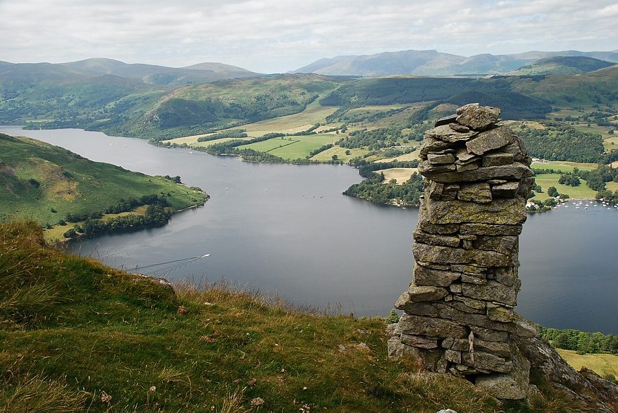 |
| Ullswater from Bonscale Tower |
