
| Blake Fell - Route Two |
| Start - Felldike NY 084 177 | Distance - 2.7 miles | Ascent - 1,460 feet | Time - 1 hour : 40 minutes |
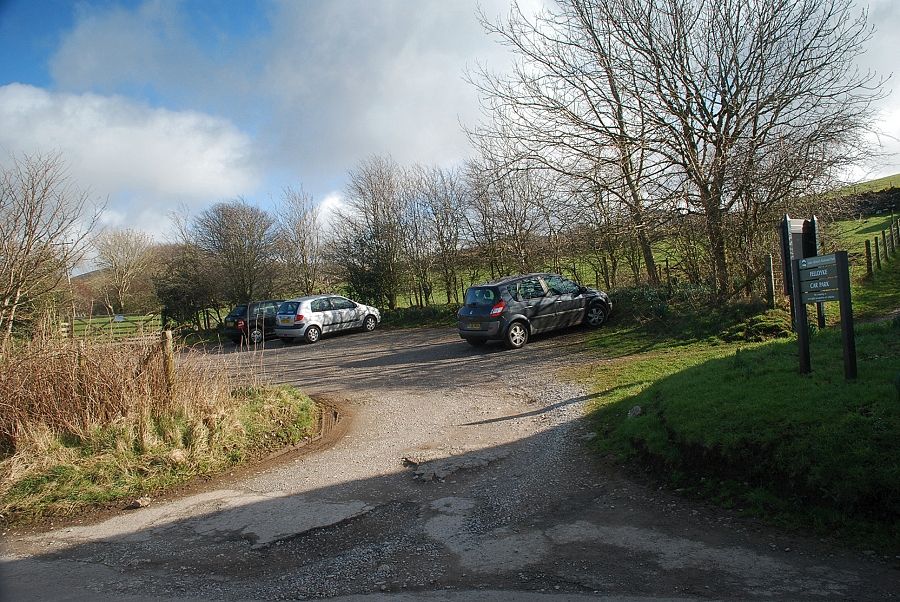 |
| The small Forestry Commission car park at Felldyke is the starting point for this walk |
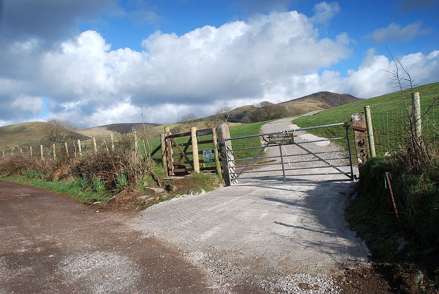 |
| Above the car park a gate gives access to a track which leads to Cogra Moss |
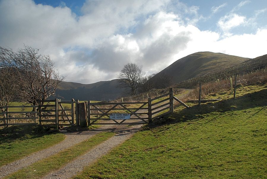 |
| After crossing an open field the track enters the forestry enclosure. An information board near the gate gives details about the conservation work and replanting which is currently underway |
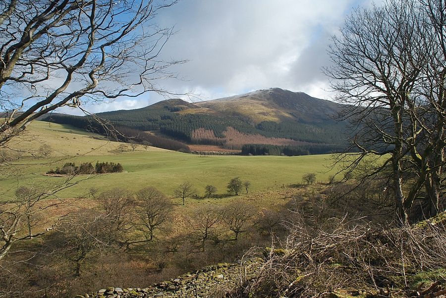 |
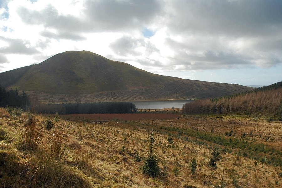
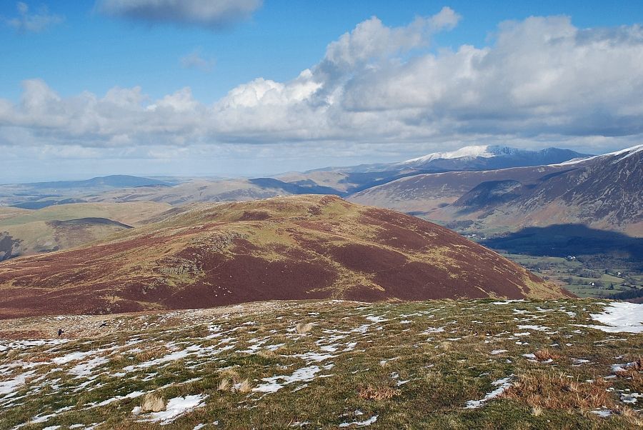
| Sharp Knott and Blake Fell from the forestry track |
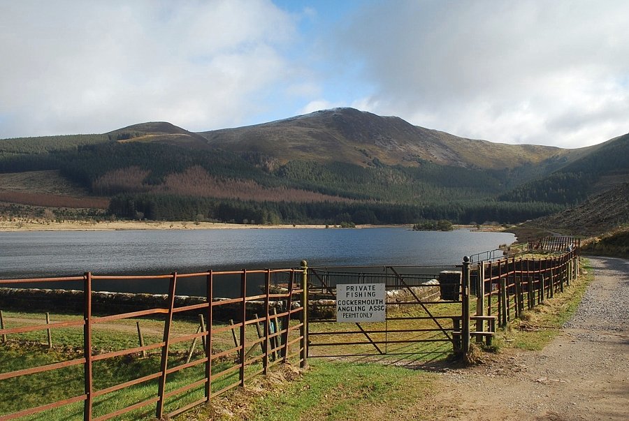 |
| Cogra Moss reservoir. The path crosses the top of the dam and continues alongside the western side of the reservoir |
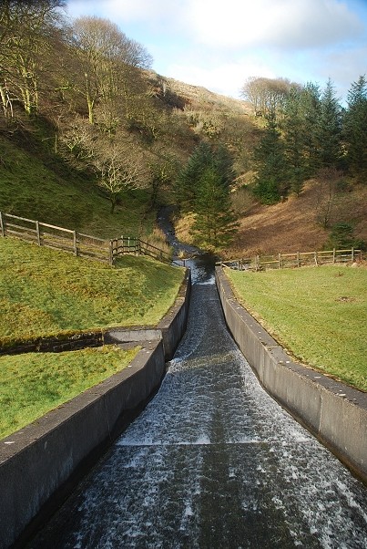 |
| Looking down the overflow spillway from the top of the dam |
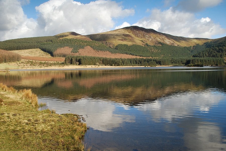 |
| Sharp Knott and Blake Fell from the western side of the reservoir |
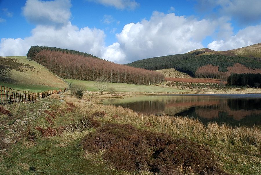 |
| The path along the western side of the resevoir with High Haws straight ahead and Sharp Knott on the right |
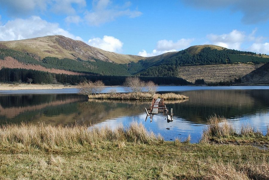 |
| The reservoir was created in 1880 by the damming of Rakegill Beck, although it ceased to be a drinking water supply in 1975. Nowadays its peaceful setting is a very popular with anglers and walkers |
 |
| The path continues alongside the northern side of the reservoir and is quite boggy in places. The worst sections have wooden walkways across them |
 |
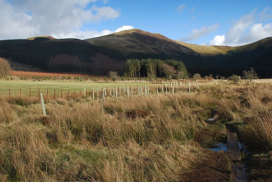
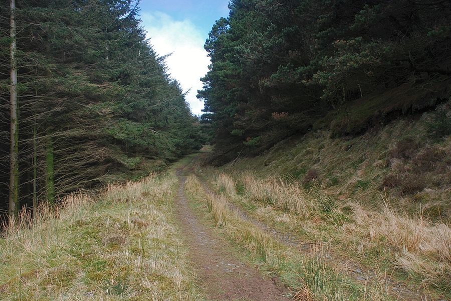
| Eventually the path joins and old forestry track which runs alongside the wooded slopes of High Haws towards the valley of Wisenholme Beck |
 |
| Looking back along the track, with Low Pen on the left and Knock Murton on the right |
 |
| Burnbank Fell from the foresty track |
 |
| The forestry track makes a sharp turn to the right and begins to climb the lower slopes of Sharp Knott |
 |
| Looking over to Knock Murton and Cogra Moss |
 |
| Looking back to the steep slopes of Owsen Fell above the Wisenholme Beck valley |
 |
| After ascending for a quarter of a mile the track turns again to climb more gently around the northern slopes of Sharp Knott |
 |
| The forestry track on the northern slopes of Sharp Knott |
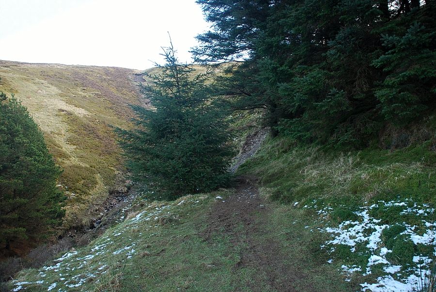 |
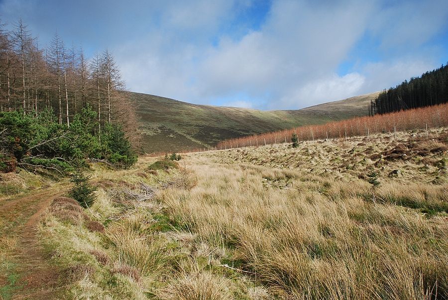
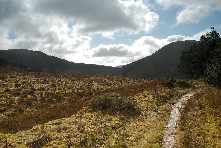
| The forestry track comes to an abrupt end when it meets the head of Wisenholme Beck. A steep, and initially very rough path, continues on alongside the edge of the plantation climbing up to the col between Sharp Knott and Blake Fell |
 |
| Looking back, Criffel appears over the col between Owsen Fell and Burnbank Fell |
 |
| The summit of Burnbank Fell from the climb to the col |
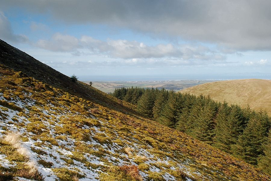 |
| Looking over to the Solway coast from the climb to the col |
 |
| Just below the col a path branches off towards the summit of Sharp Knott |
 |
| The summit cairn on Sharp Knott |
 |
| The Solway coast over Owsen Fell from the summit of Sharp Knott |
 |
| Burnbank Fell with a distant view of Binsey on the right |
 |
| Blake Fell from the summit of Sharp Knott |
 |
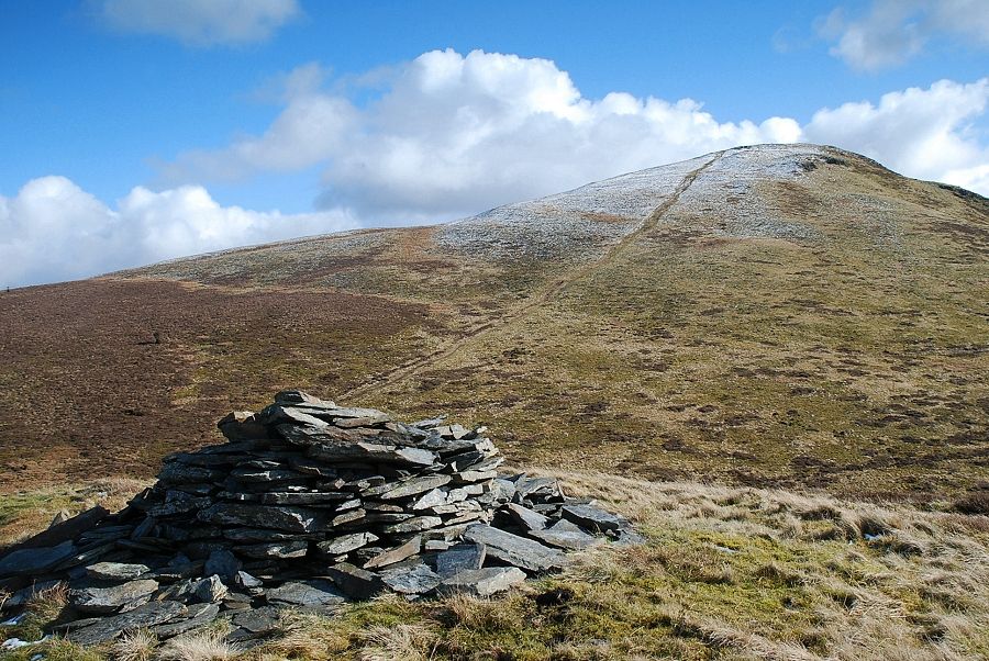
| Looking back to the summit of Sharp Knott from the col |
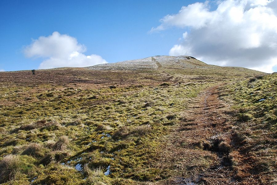 |
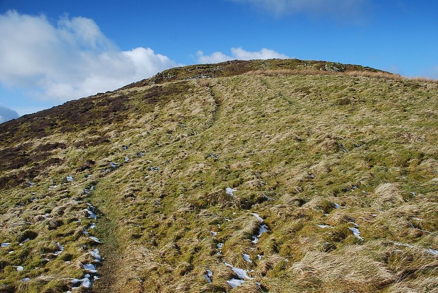
| The path up to Blake Fell from the col |
 |
| Looking over to Knock Murton and Cogra Moss from the climb to the summit of Blake Fell |
 |
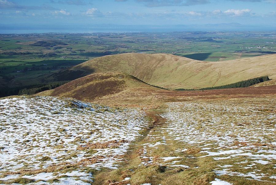
| Looking back to the col and Sharp Knott |
 |
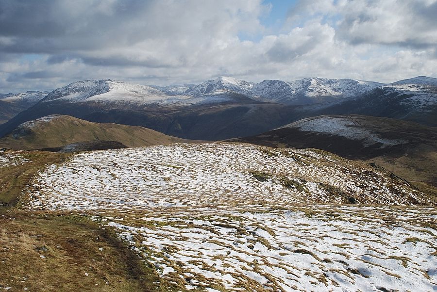
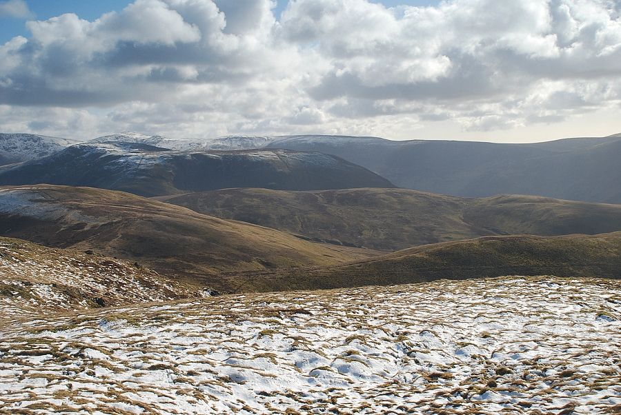
| Looking over to Skiddaw with Carling Knott, a subsidiary ridge of Blake Fell, in the middle foreground |
 |
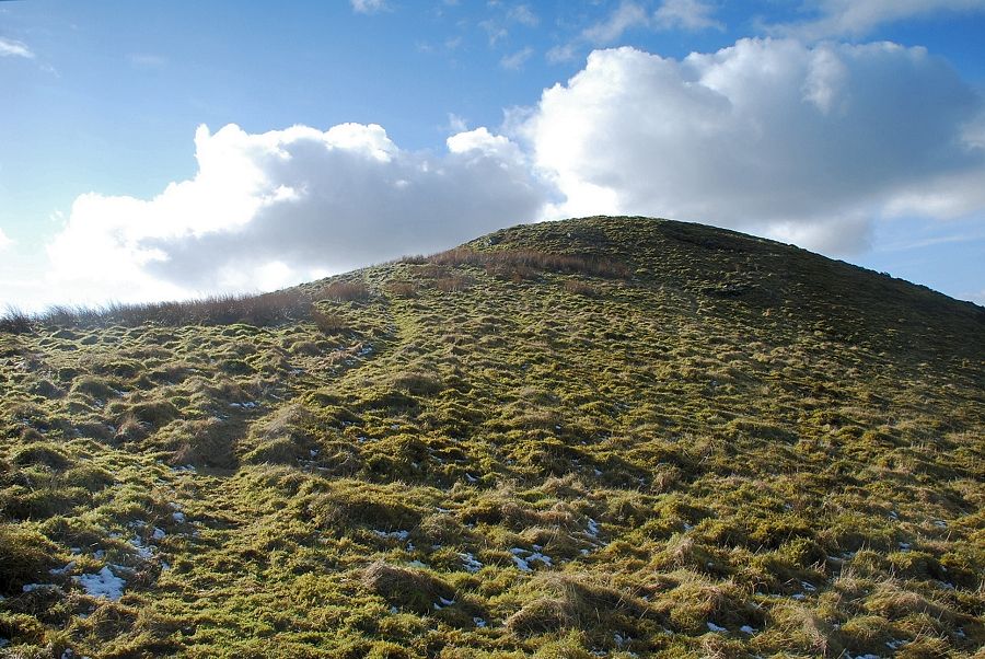
| The summit of Blake Fell comes into view |
 |
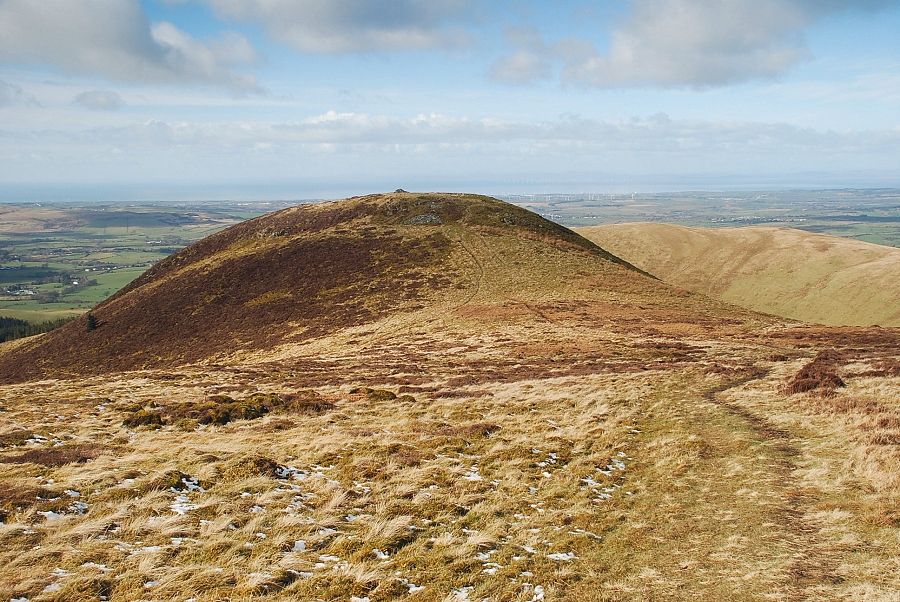
| Looking back to Sharp Knott |
 |
| The summit shelter on Blake Fell |
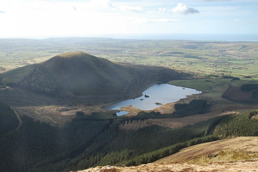 |
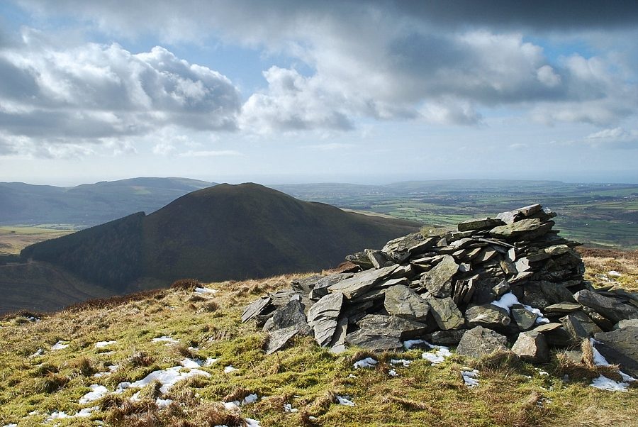
| Knock Murton and Cogra Moss from the summit of Blake Fell |
 |
| The connecting ridge to Burnbank Fell |
 |
| Carling Knott with Skiddaw on the right horizon |
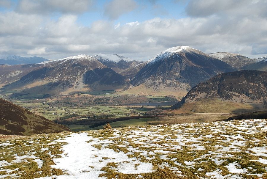 |
| The North-Western Fells of Whiteside, Hopegill Head, Grasmoor and Wandope with the north top of Mellbreak in the right middle distance |
 |
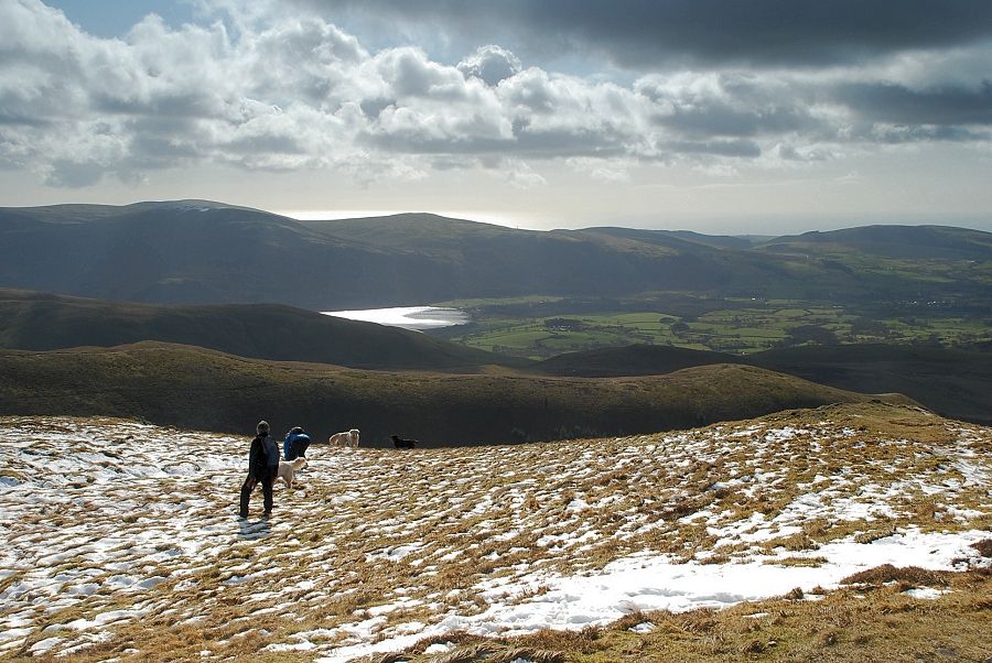
| Buttermere from the summit of Blake Fell |
 |
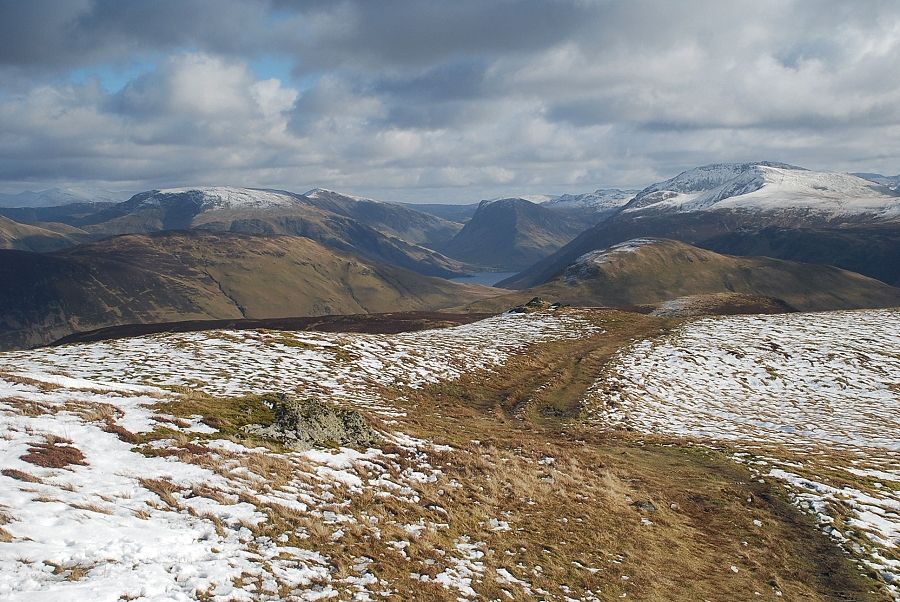
| Looking south-east High Stile, Pillar, Scoat Fell and Haycock form the horizon |
 |
| Haycock on the left over the summit of Great Borne |
 |
| Looking south, Crag Fell and Grike above the foot of Ennerdale Water |
|