 |
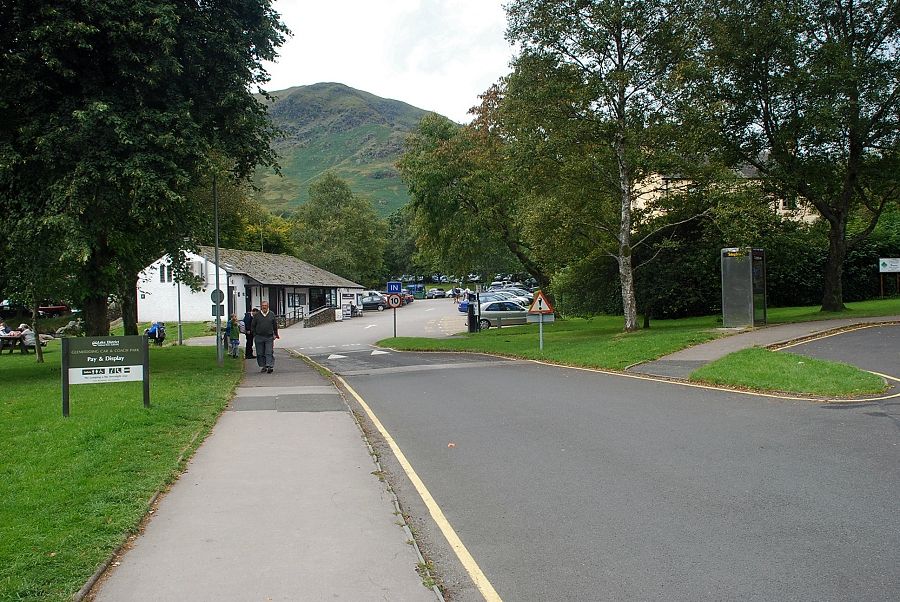
| Birkhouse Moor from the LDNP car park in Glenridding |
 |
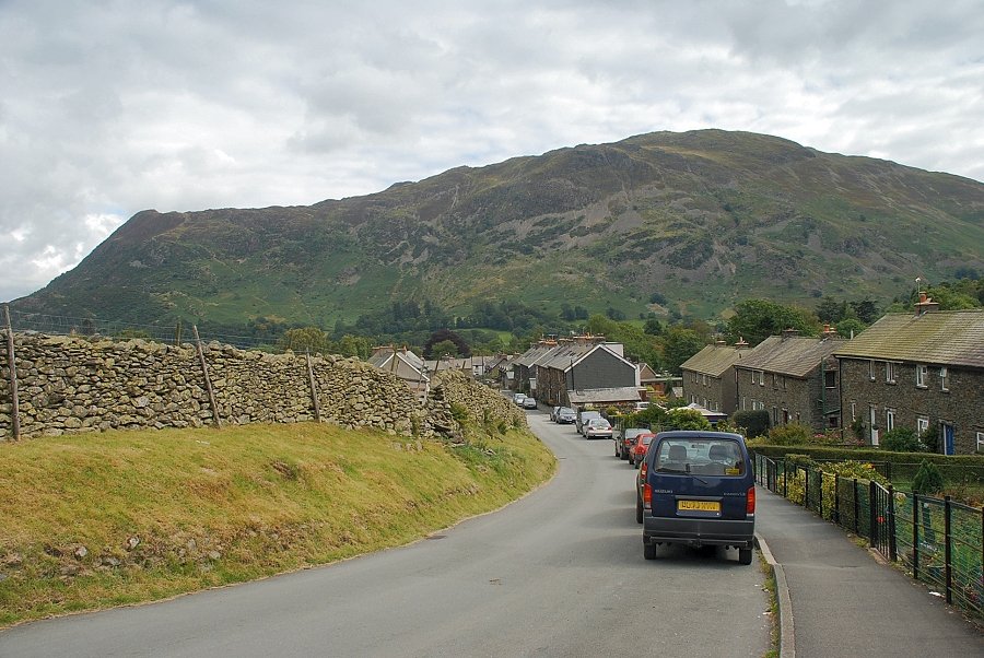
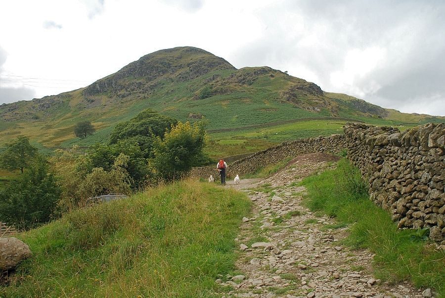
| Birkhouse Moor from Greenside Road |
 |
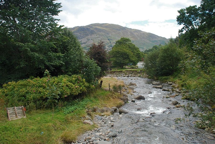
| Looking back to Place Fell from Greenside Road |
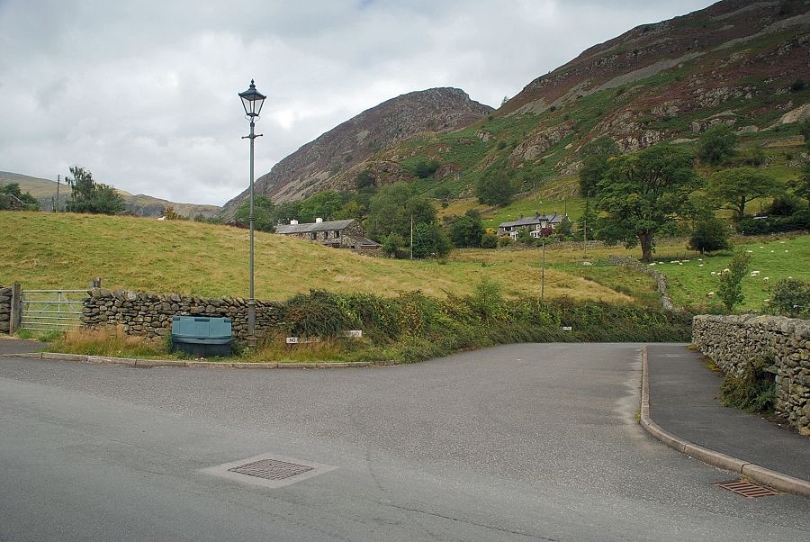 |
| Greenside Road continues on past Rake Cottages but we leave it at this point and turn down the lane to Rattlebeck Bridge |
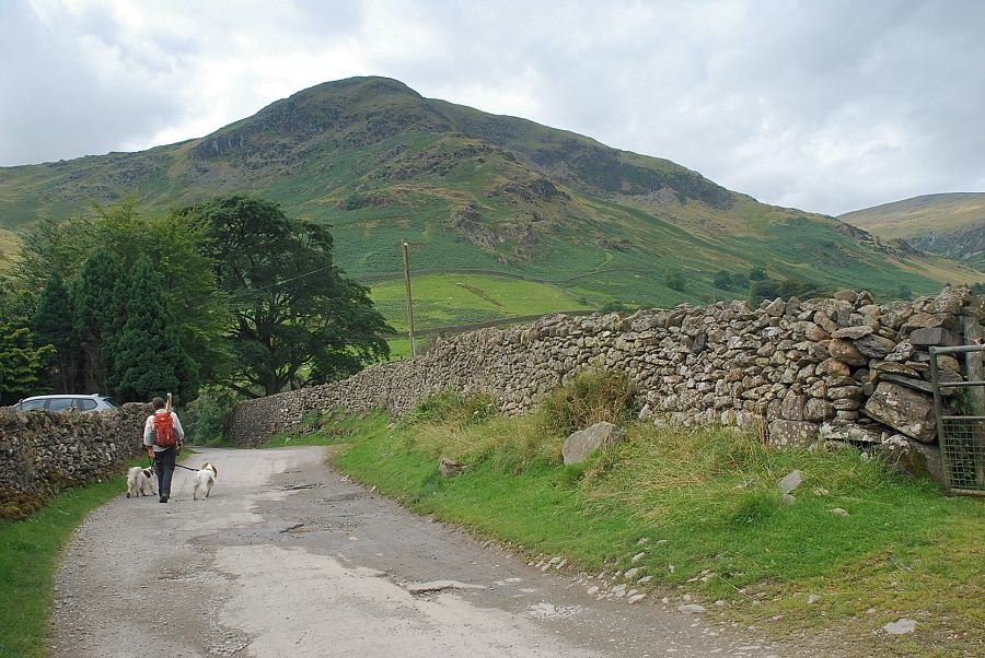 |
| Birkhouse Moor from the Rattlebeck Bridge lane |
 |
| Approaching Rattlebeck Bridge |
 |
| Place Fell from Rattlebeck Bridge |
 |
| The north-east ridge of Birkhouse Moor |
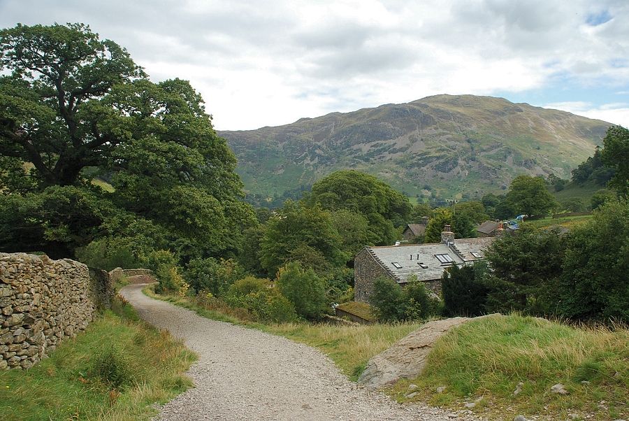 |
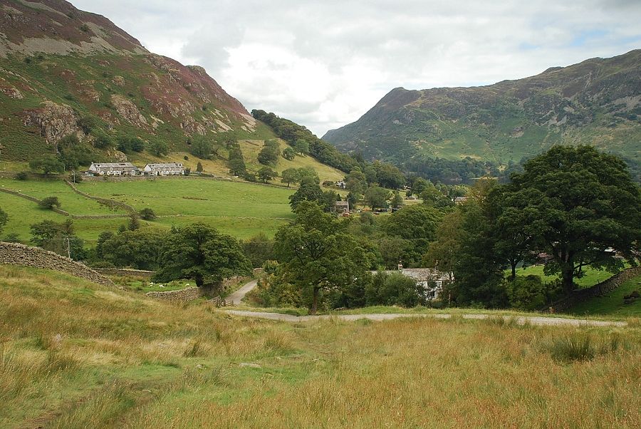
| Looking back to Place Fell from Gillside |
 |
| Looking over to Sheffield Pike from Gillside |
 |
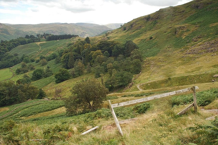
| Looking back from the path to Mires Beck |
 |
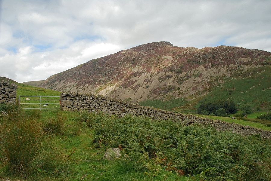
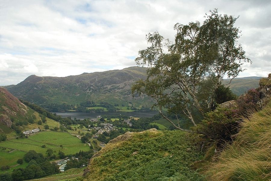
| Place Fell from the Mires Beck path |
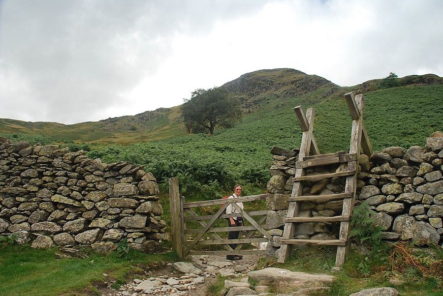 |
| A gate and stile give access to the open fellside. The direct route to the north-east ridge starts to the right of the wall, but its use has been discouraged by the erection of wooden barriers to control erosion of the path although these have now fallen into disrepair |
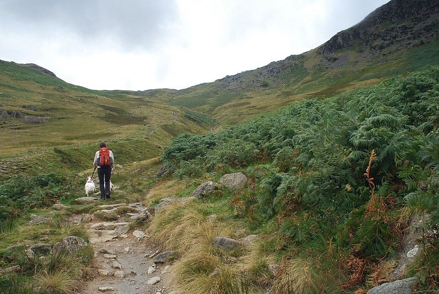 |
| We turn left from the gate and follow the Mires Beck path for a short distance |
 |
| We leave the path before it fords Mires Beck and turn back onto a sheep trod which leads up to the upper barrier on the north-east ridge |
 |
| Looking back to Mires Beck from the upper barrier on the north-east ridge |
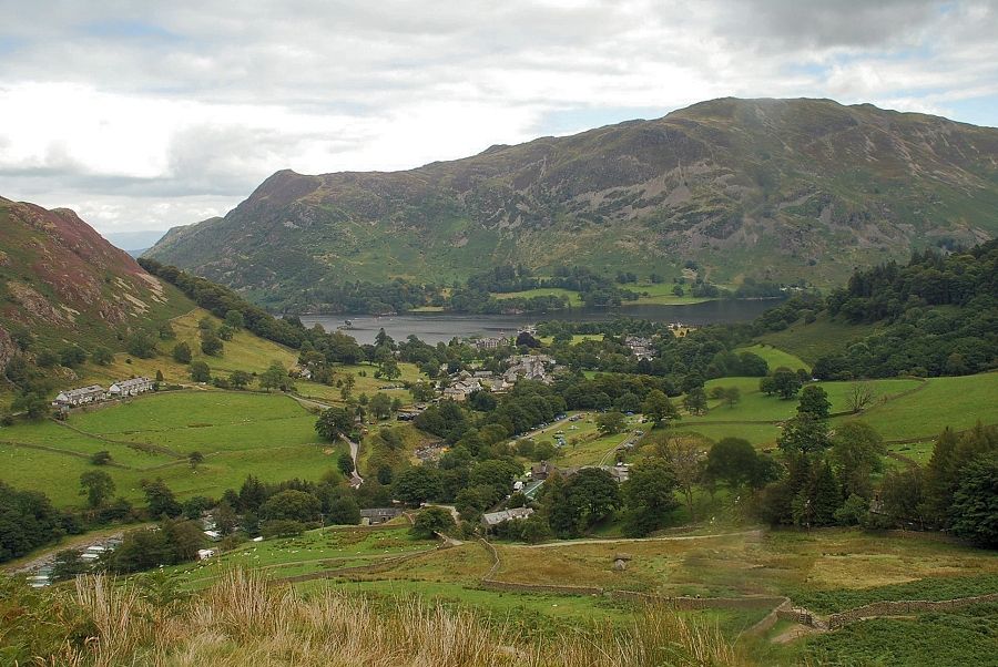 |
| Glenridding and Place Fell from the upper barrier on the north-east ridge |
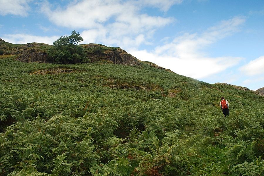 |
| A path, almost lost in the bracken, traverses across the ridge from the barrier towards the lowest rocks on the north-east ridge |
 |
| Sheffield Pike from the traverse path |
 |
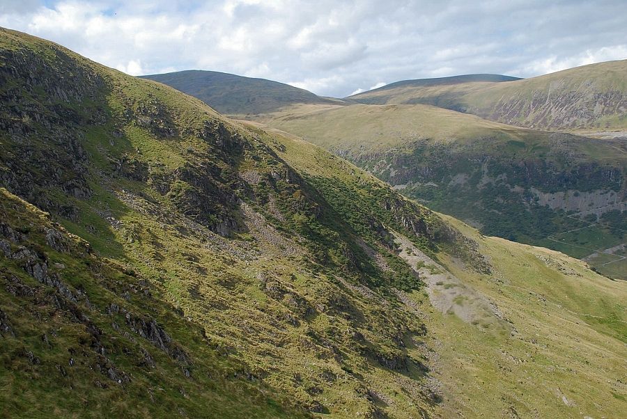
| The traverse path passes below a steep outcrop before turning sharply uphill |
 |
| The steeper ascent of the north-east ridge starts beside a solitary rowan |
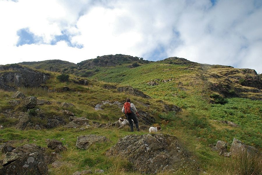 |
| Looking up to the lower part of the north-east ridge. The path, which is quite indistinct in places, threads its way between the rocky outcrops |
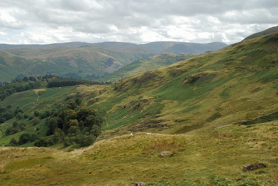 |
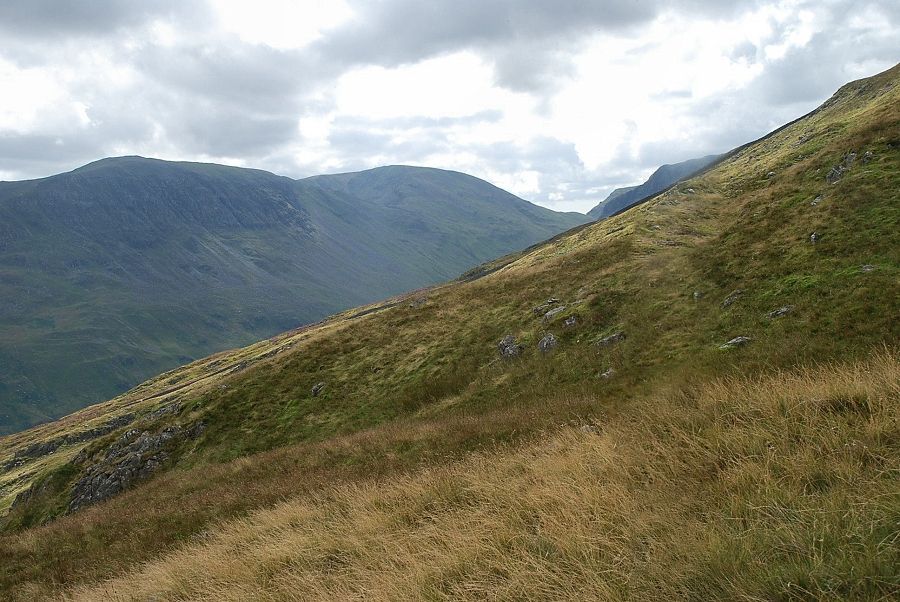
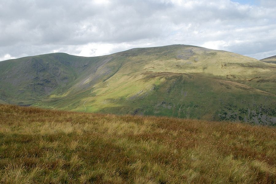
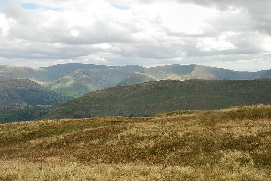
| Looking over to the Far Eastern Fells |
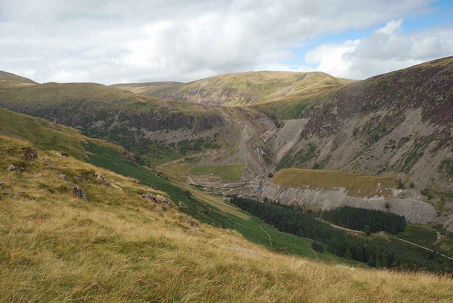 |
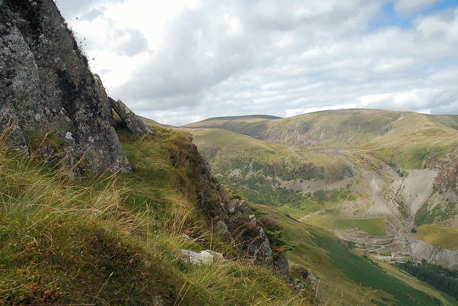
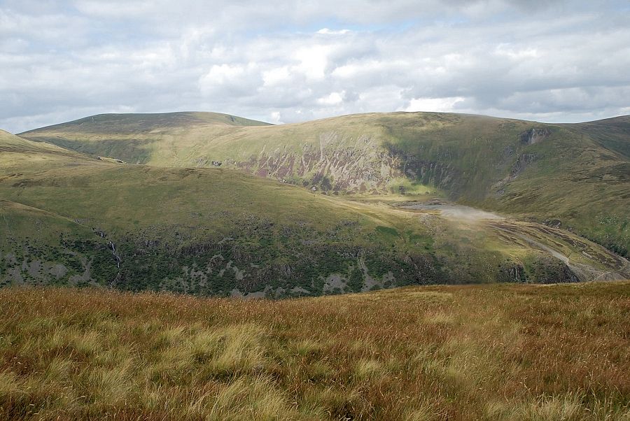
| Looking over to the remains of the old Greenside Lead Mine |
 |
| Approaching the mid point on the north-east ridge |
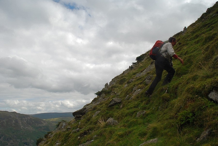 |
| Steep walking on the north-east ridge! |
 |
| Half way up the ridge a grass platform provides a brief respite on this steep climb |
 |
| Looking across to the Far Eastern Fells |
 |
| The ascent continues, by exploiting grassy rakes between the crags |
 |
| Looking over to Stybarrow Dodd and Greenside |
 |
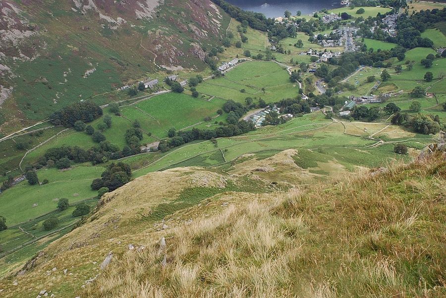
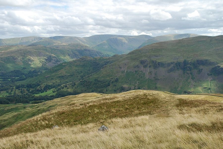
| Looking down to Glenridding and Ullswater |
 |
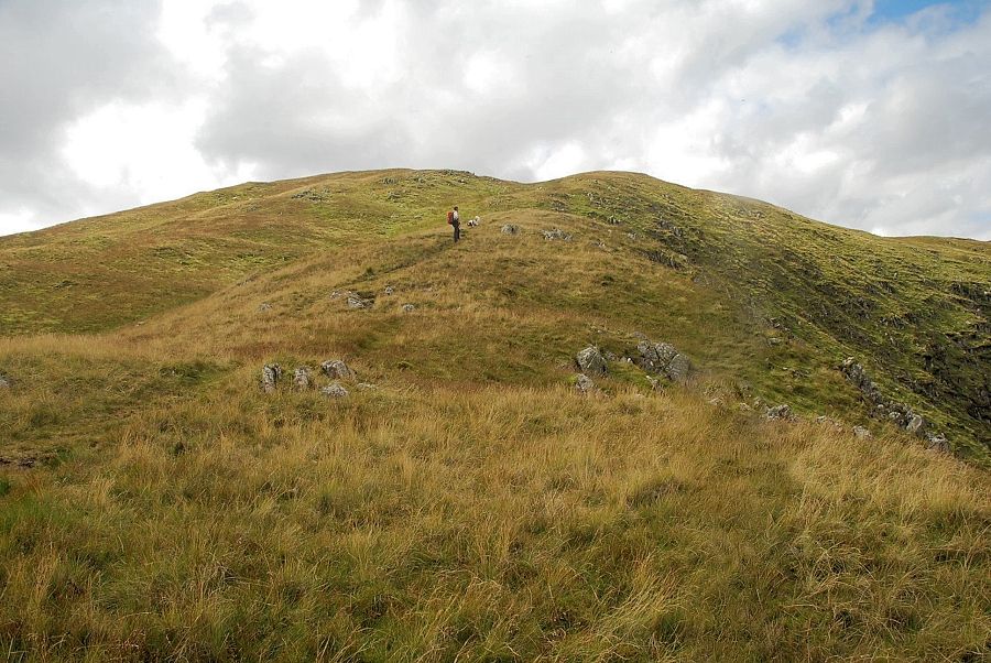
| The upper grassy slopes of the north-east ridge come into view on reaching the top of the last outcrop |
 |
| Looking down the north-east ridge |
 |
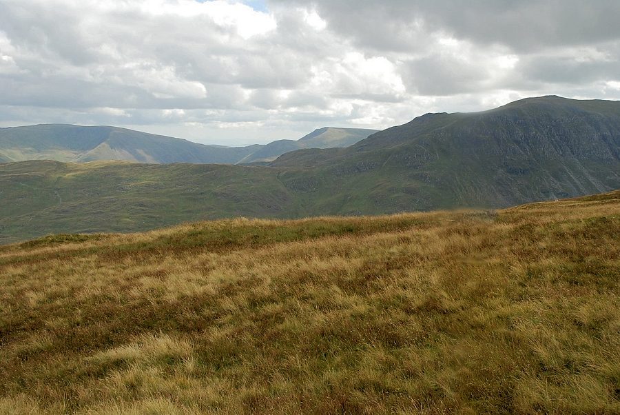
| Looking across Blea Cove to Raise and Stybarrow Dodd |
 |
| St. Sunday Crag and Fairfield |
 |
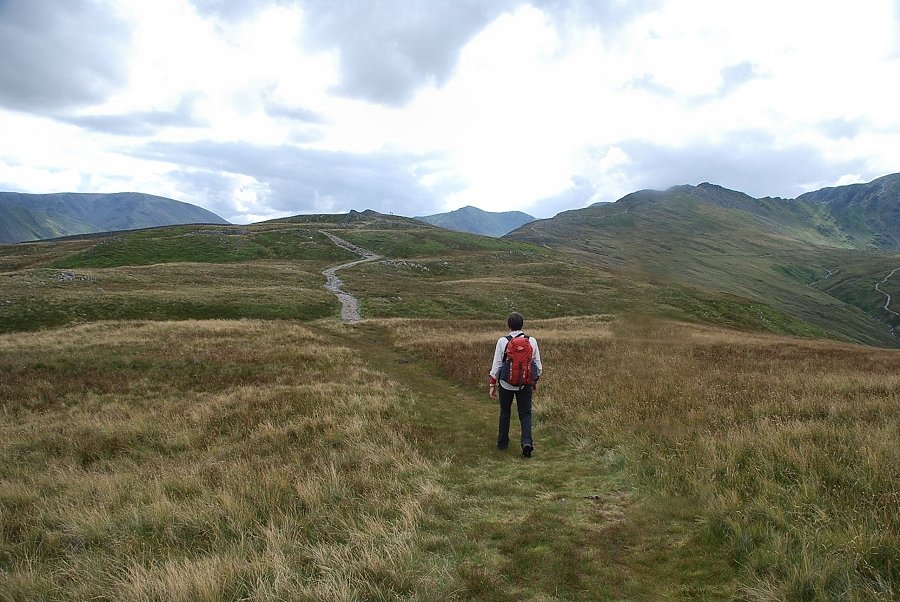
| Looking over to Far Eastern Fells on the horizon as we make our way up to the top of the north-east ridge |
 |
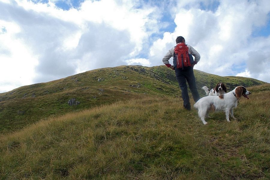
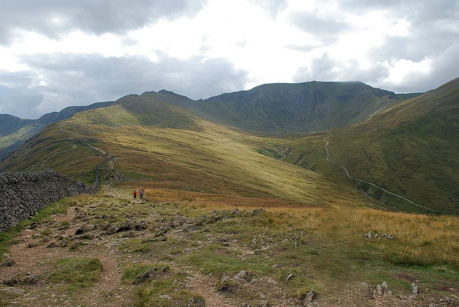
| Walkers making a descent of the north-east ridge |
 |
| Nearing the top of the north-east ridge |
 |
| On the highest grass shelf is an unusually shaped pool |
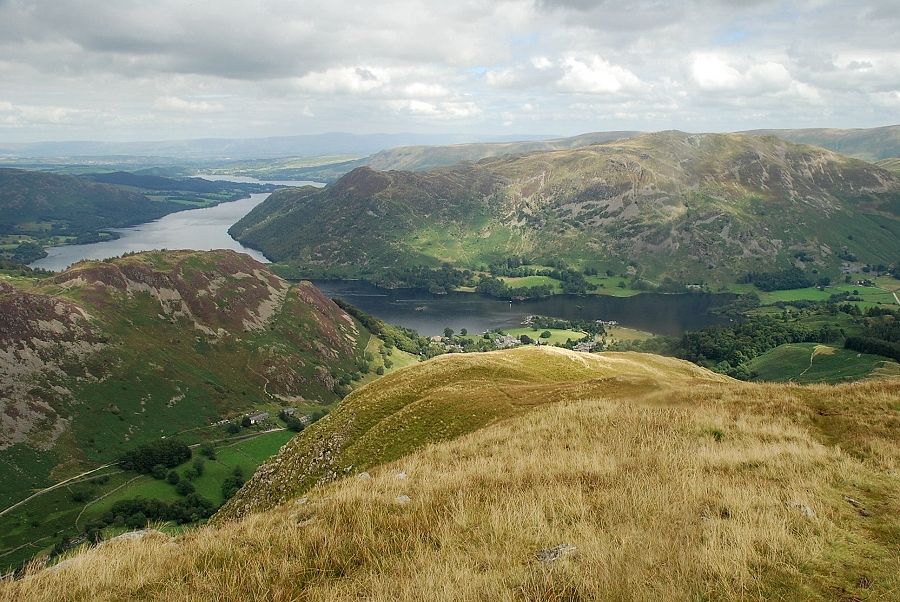 |
| The best view of Ullswater can be had from just below the cairn on the north top of Birkhouse Moor |
 |
| St. Sunday Crag and Fairfield from the north top of Birkhouse Moor |
 |
| Helvellyn and Catstycam from the north top |
 |
| White Side and Raise |
 |
| Stybarrow Dodd and Greenside |
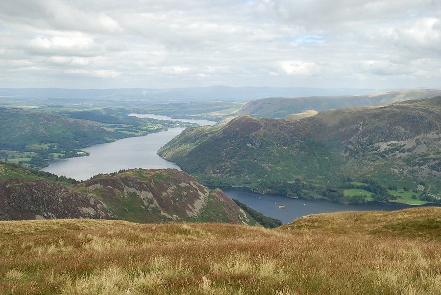 |
| Ullswater from the north top of Birkhouse Moor |
 |
| Place Fell |
 |
|
Looking south-east, High Street, Thornthwaite Crag, and Caudale Moor
|
 |
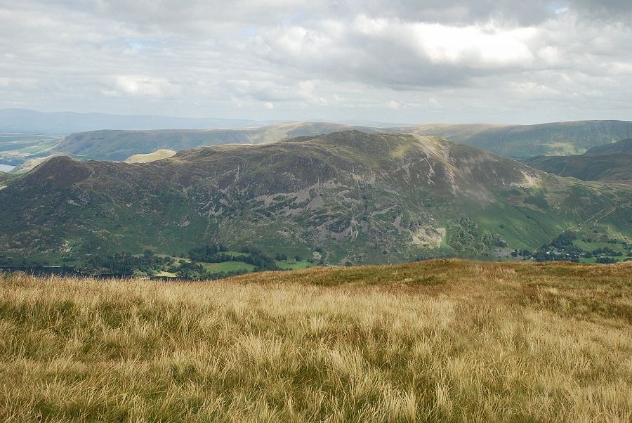
| Caudale Moor, Red Screes and St. Sunday Crag |
 |
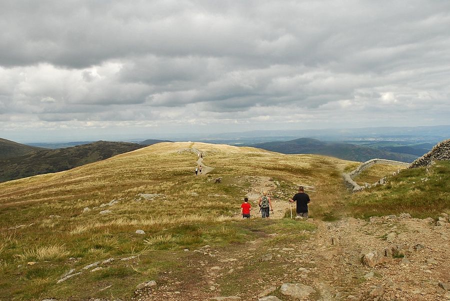
| The highest point of Birkhouse Moor lies a quarter of a mile to the south |
 |
| Looking back to the north top from the summit of Birkhouse Moor |
 |
| Fairfield and Dollywaggon Pike from the summit of Birkhouse Moor |
 |
| Striding Edge and Helvellyn from the summit of Birkhouse Moor |
 |
| Catstycam and Keppel Cove from the summit of Birkhouse Moor |
