 |
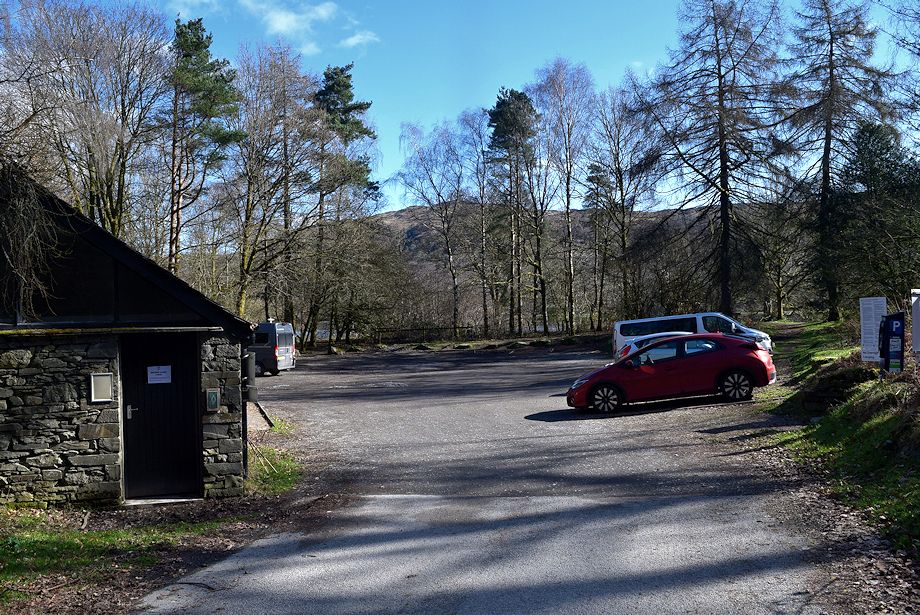
| The LDNP car park at Brown Howe by the shore of Coniston Water on the A5084 is the starting point for this walk |
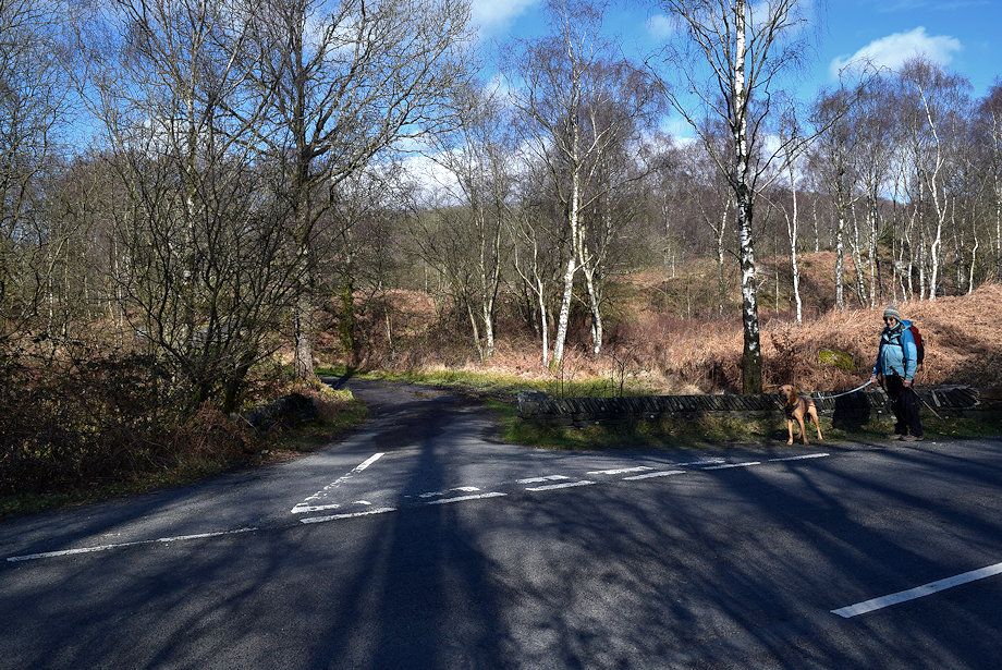 |
| We turn onto a narrow lane which is a little under a hundred yards to the south of the car park. There is room to park a few cars a short distance further along the A5084 |
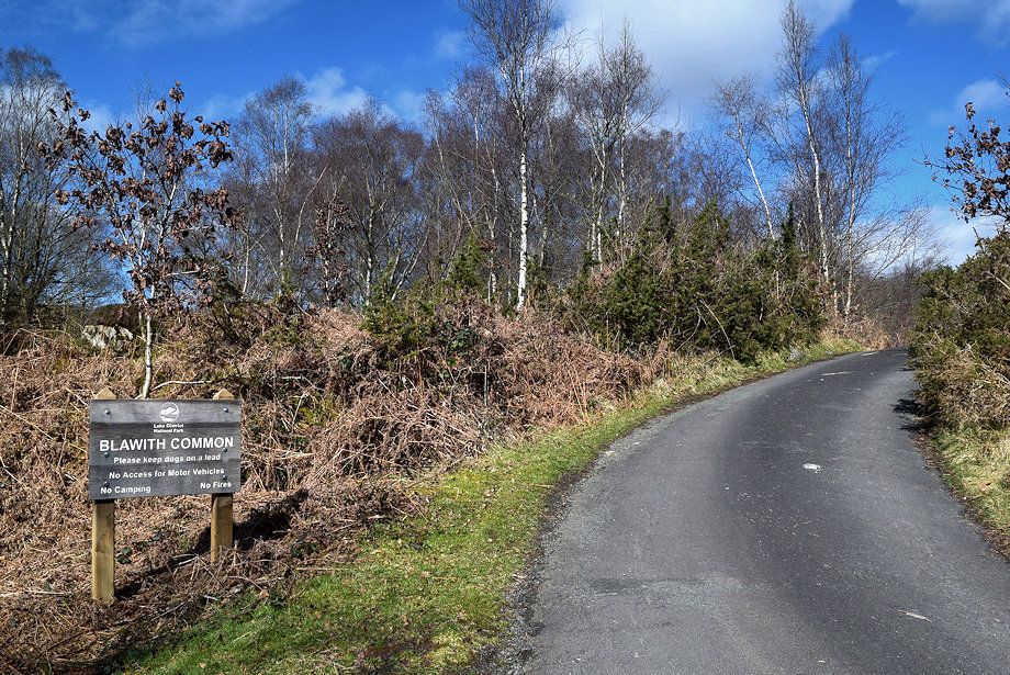 |
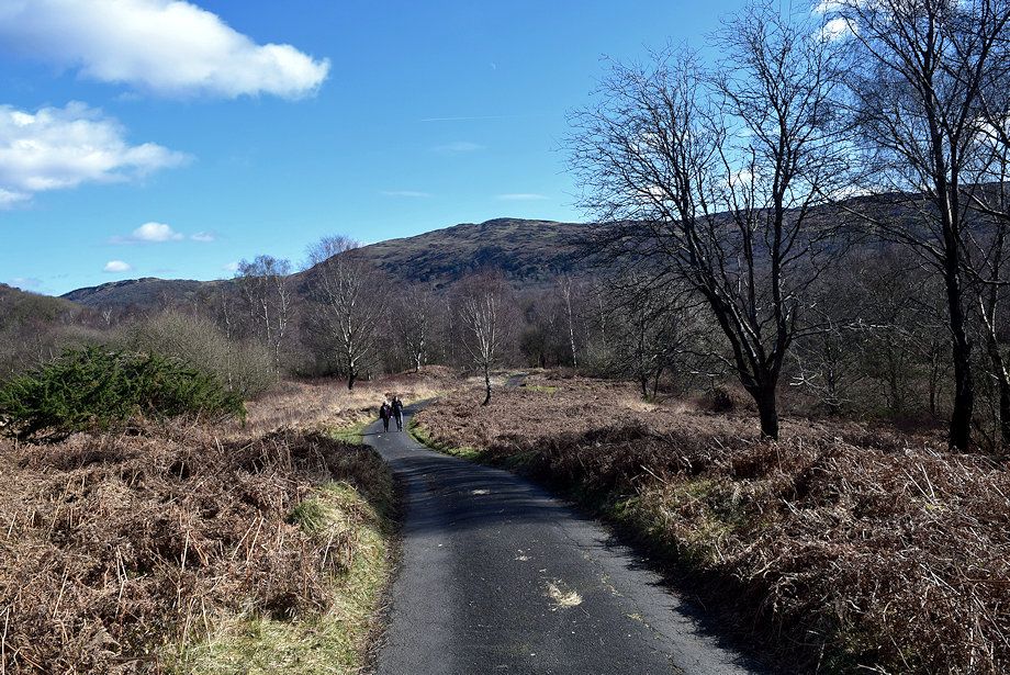
| The lane provides one of the many access points to Blawith Common a Special Area of Conservation |
 |
| Beacon Fell soon comes into view |
 |
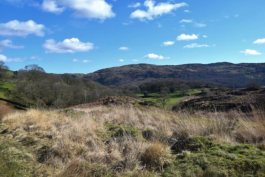
| Looking back to Top o' Selside |
 |
| The lane leads to the isolated Stable Harvey Farm |
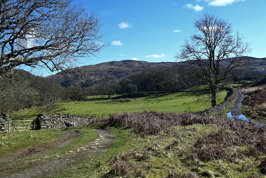 |
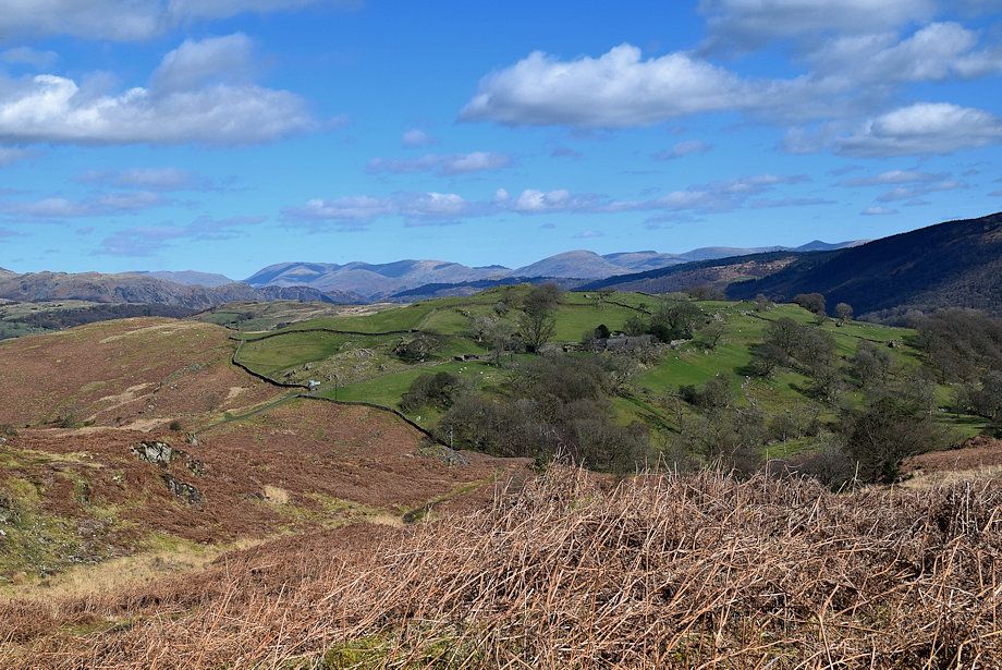
| Top o' Selside and Arnsbarrow Hill across the Stable Harvey Farm's pasture fields |
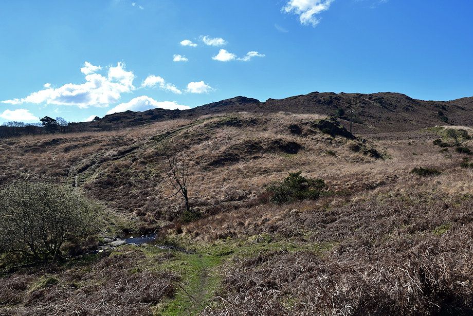 |
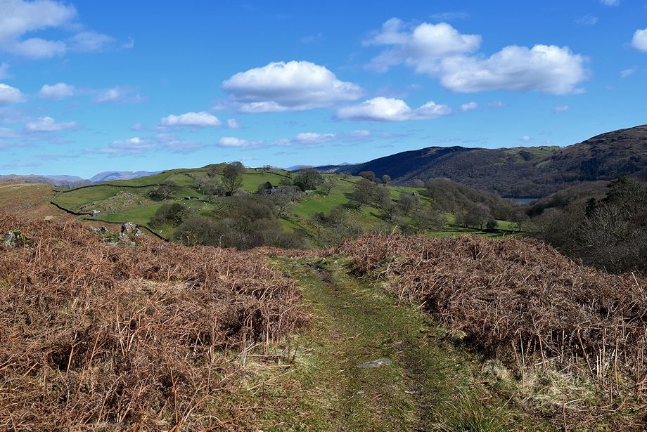
| After walking along the lane for about three quarters of a mile we leave it for a path which drops down to cross Black Beck |
 |
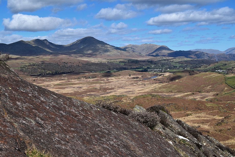
| Dow Crag and Coniston Old Man from the path above Black Beck |
 |
| Caw across Stable Harvey Moss from the path above Black Beck |
 |
| Top o' Selside and Arnsbarrow Hill from the path above Black Beck |
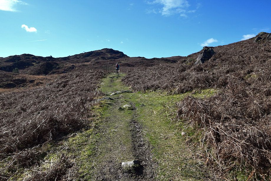 |
| The path leads directly to the summit of Beacon Fell |
 |
| Looking back to Stable Harvey Farm on the slopes of Coats Hill |
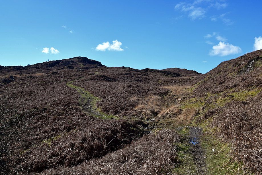 |
| The path crosses a couple of minor streams on its way to the summit |
 |
| Looking back a long line of fells come into view incuding Helvellyn, Fairfield, Dove Crag, Red Screes, High Street and Ill Bell |
 |
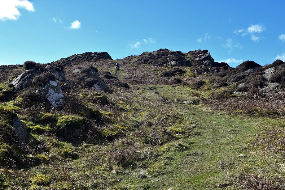
| Approaching the craggy outcrops below the summit |
 |
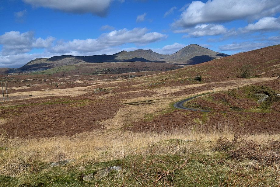
| Looking across to the Dunnerdale Fells |
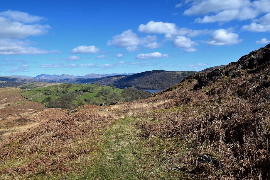 |
| Looking back from higher on the path to Spy Hill across Coniston Water |
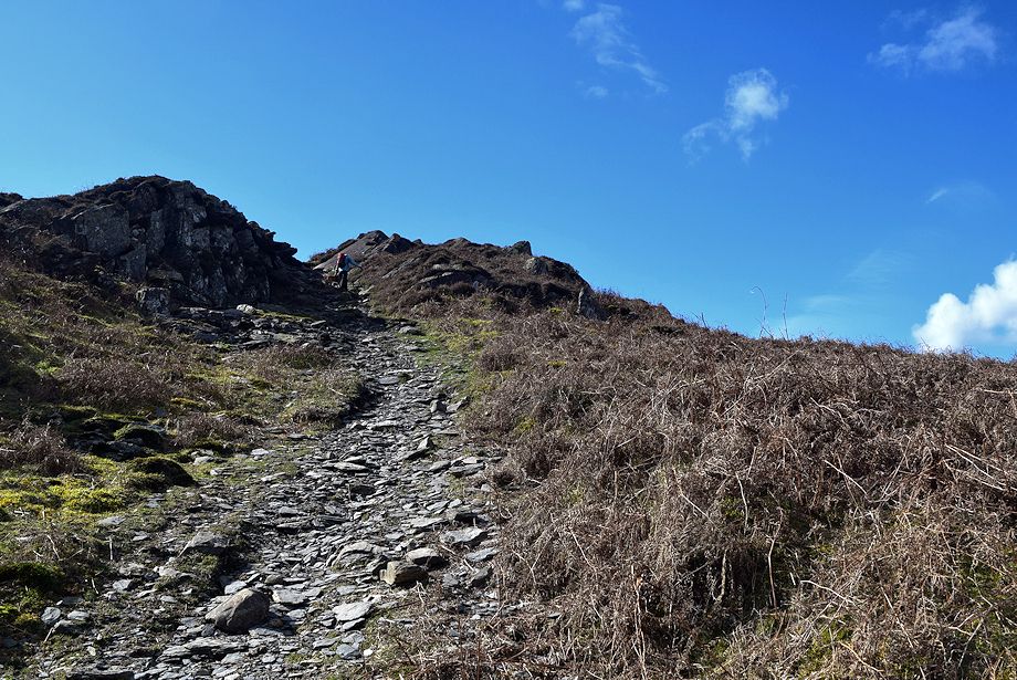 |
| The path passes through a stony gully to the right of first outcrop |
 |
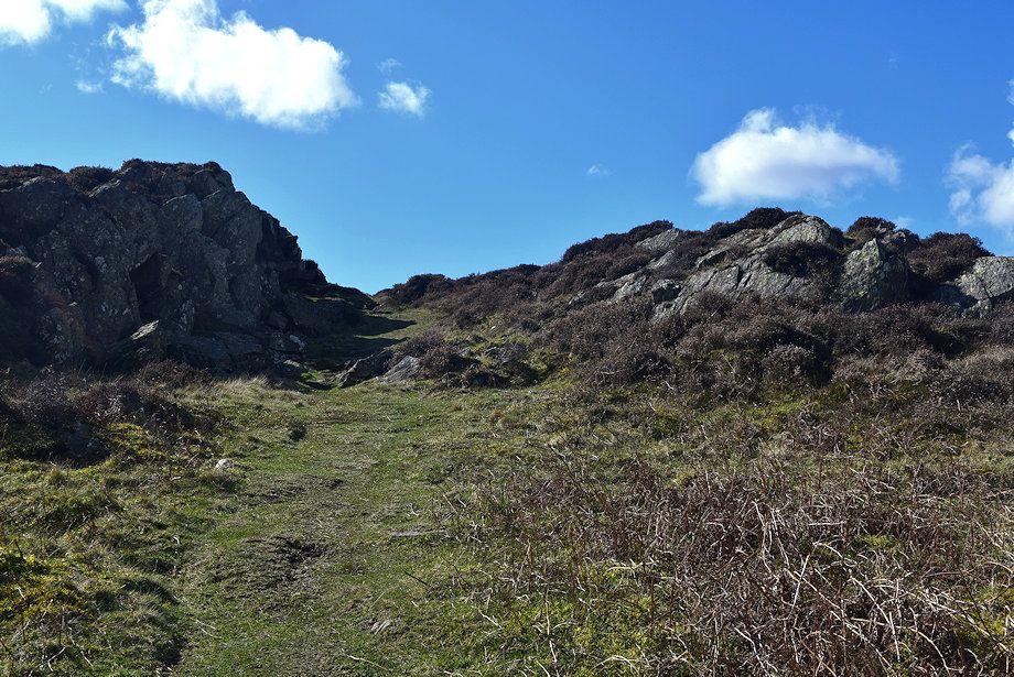
| Looking back down the gully |
 |
| The Coniston Fells from the gully |
 |
| The summit comes into view on reaching the top of the gully |
 |
| Approaching the summit of Beacon Fell |
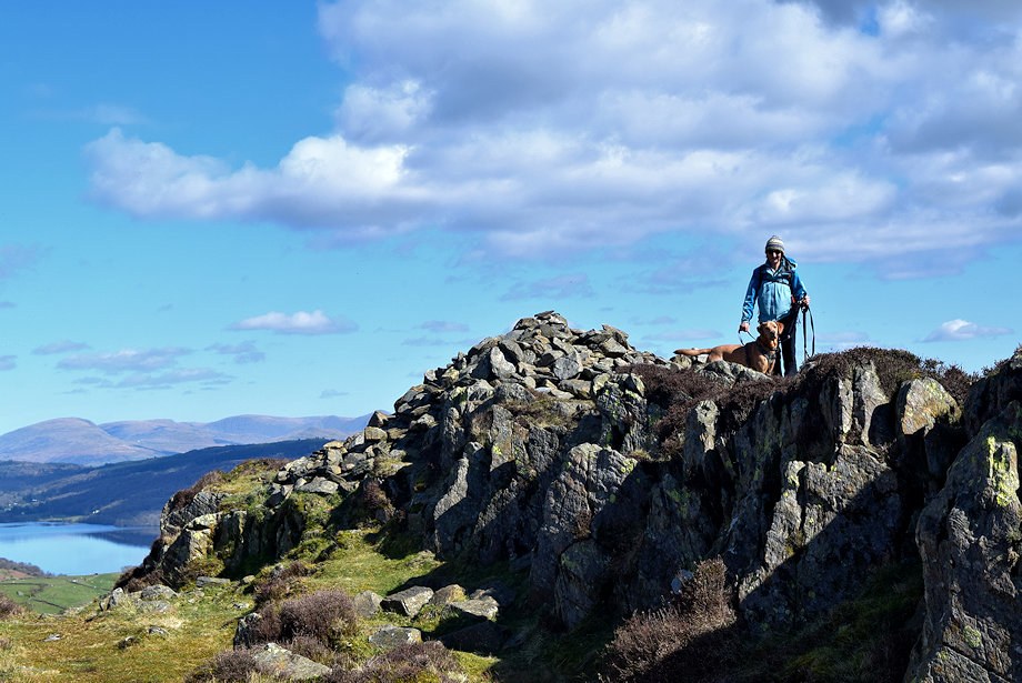 |
| The summit of Beacon Fell |
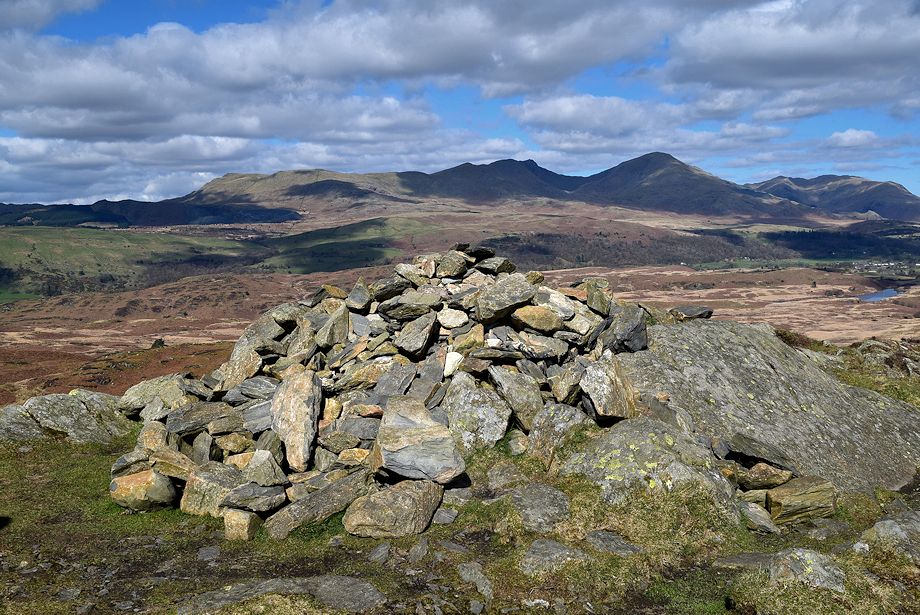 |
| The summit cairn on Beacon Fell |
 |
| Black Combe from the summit of Beacon Fell |
 |
| Buck Barrow, Burn Moor and Whit Fell across Yew Bank from the summit of Beacon Fell |
 |
| Caw from the summit of Beacon Fell |
 |
| The Coniston Fells from the summit of Beacon Fell |
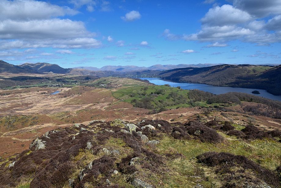 |
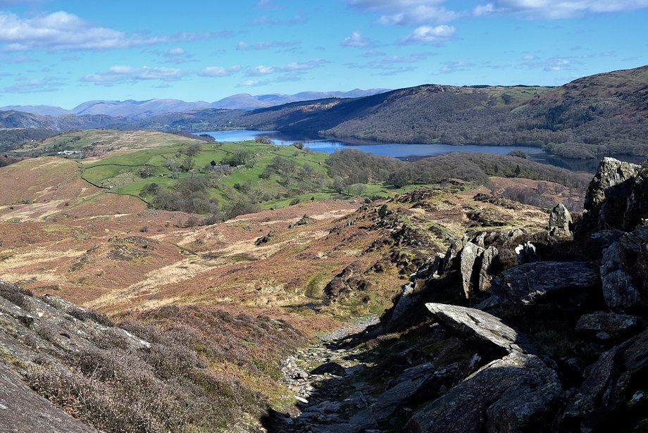
| The head of Coniston Water from the summit of Beacon Fell |
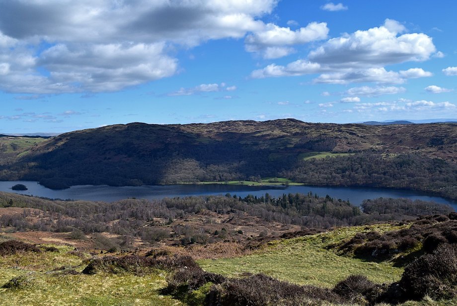 |
| Top o' Selside and Arnsbarrow Hill across the middle reaches of Coniston Water from the summit of Beacon Fell |
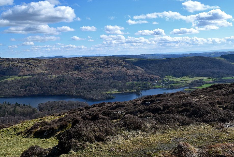 |
| The foot of Coniston Water from the summit of Beacon Fell |
 |
| The Crake Valley and Morecambe Bay from the summit of Beacon Fell |
 |
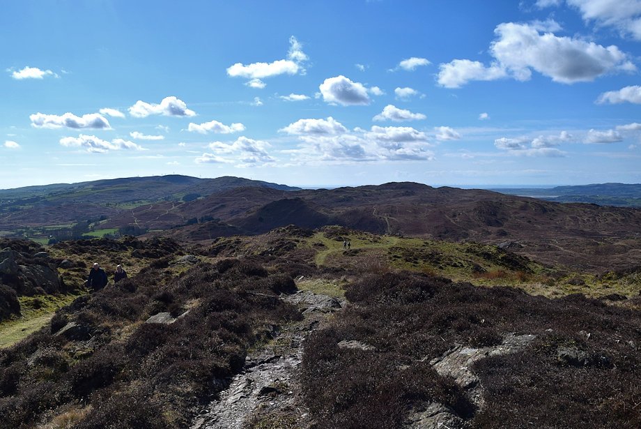
| Looking south to Kirkby Moor and Blawith Knott from the summit of Beacon Fell |
 |
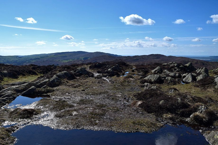
| Beacon Tarn is not visible from the summit but can be brought into view by walking 150 yards in the direction of Blawith Knott |
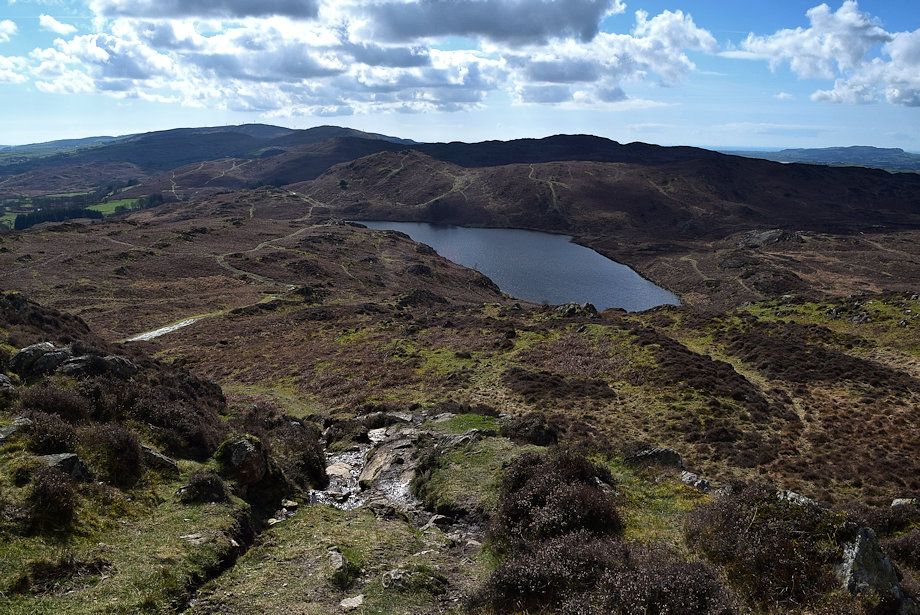 |
| Beacon Tarn |
