 |
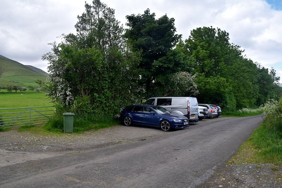
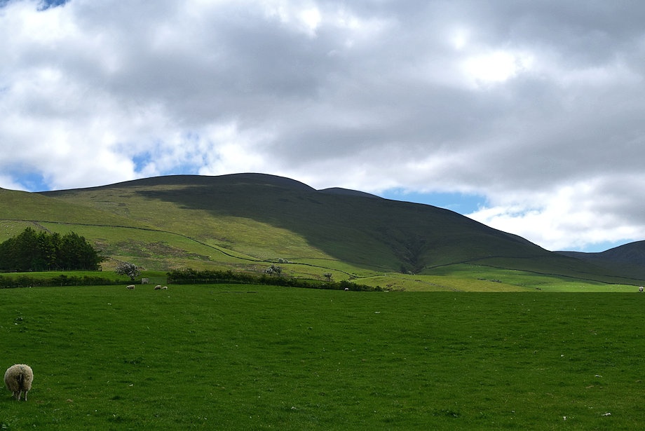
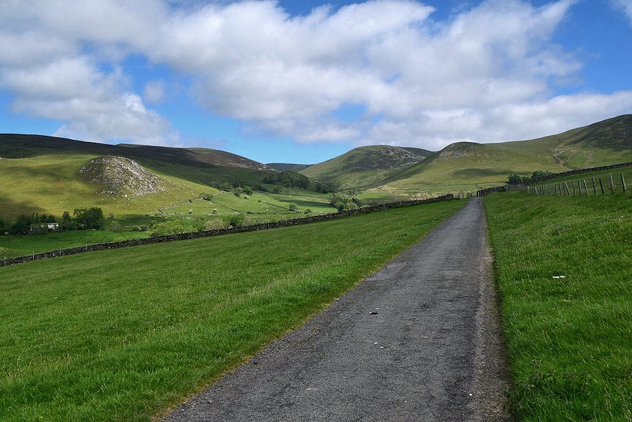
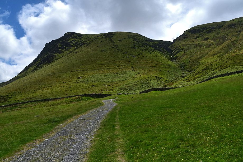
| The small lay-by opposite Peter House Farm is the starting point for this walk |
 |
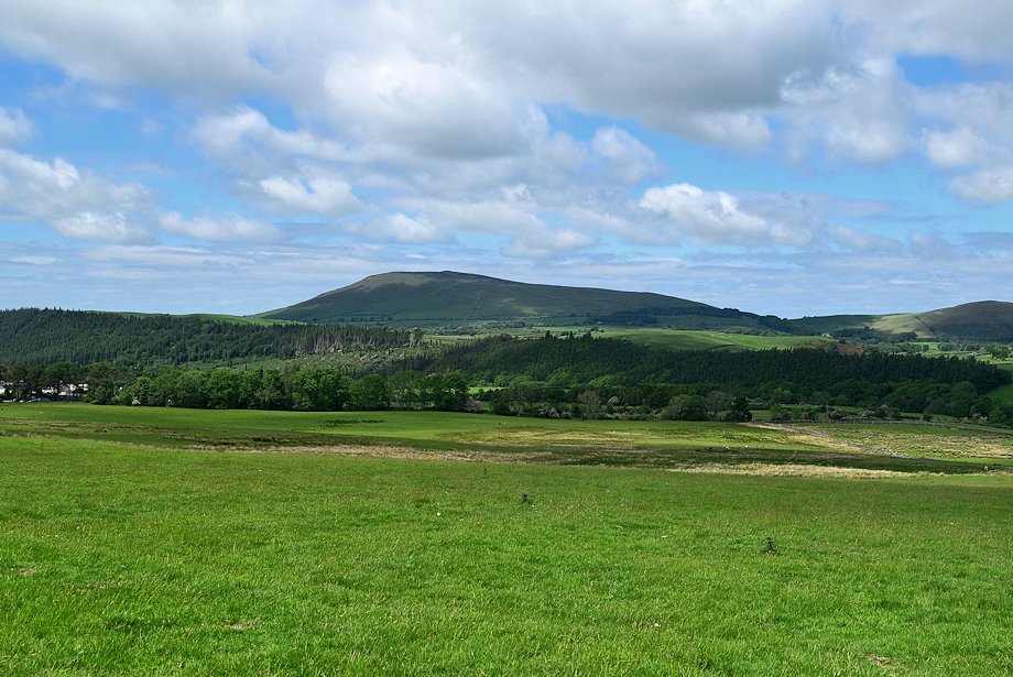
| Binsey from Peter House Farm |
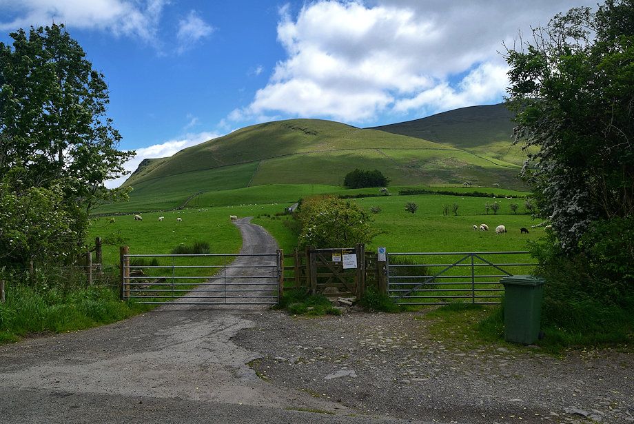 |
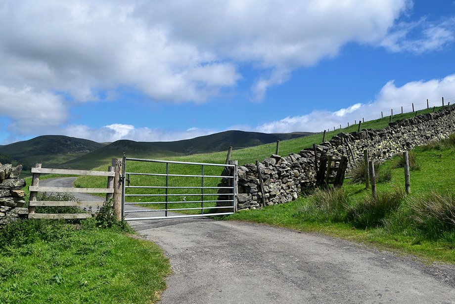
| A hand-gate to the left of the lay-by leads onto a gated road |
 |
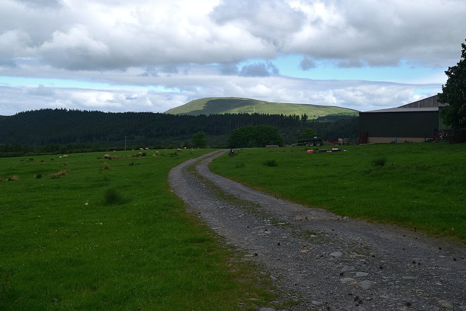
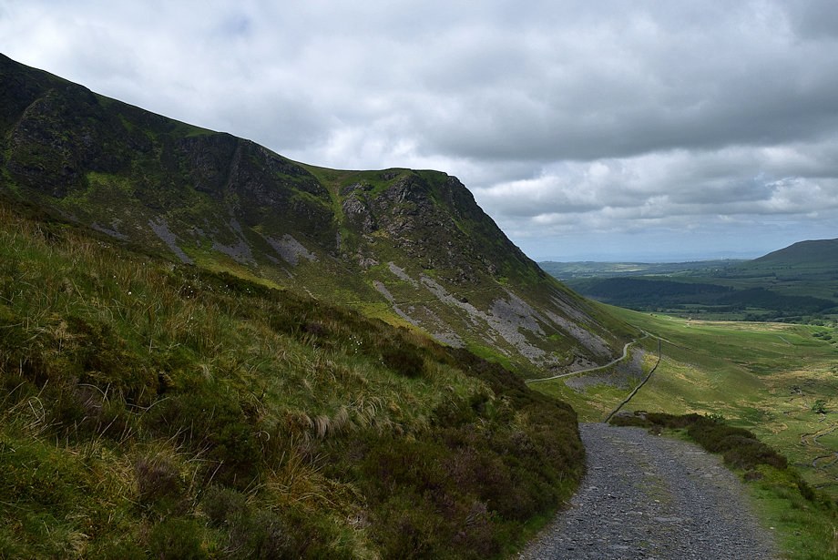
| The gated road provides access to Dash Farm and Skiddaw House |
 |
| Skiddaw from the gated road |
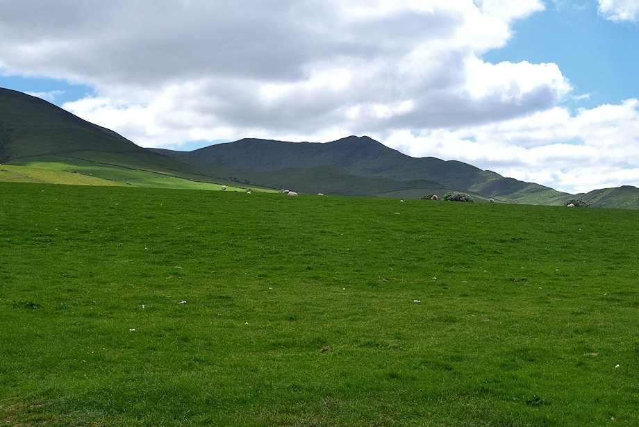 |
| Long Side and Ullock Pike from the road |
 |
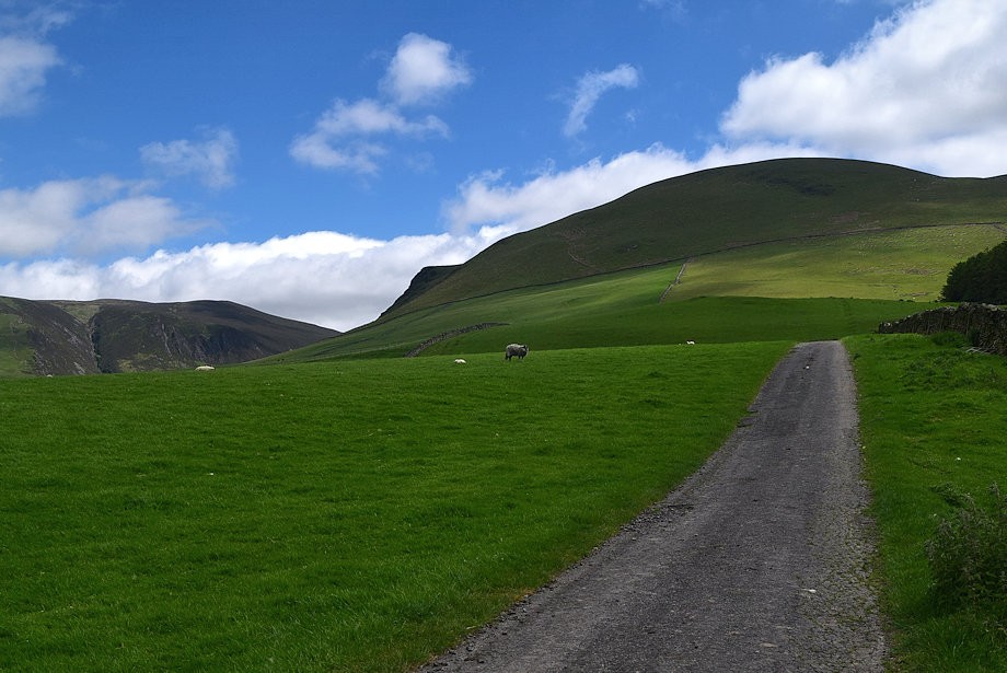
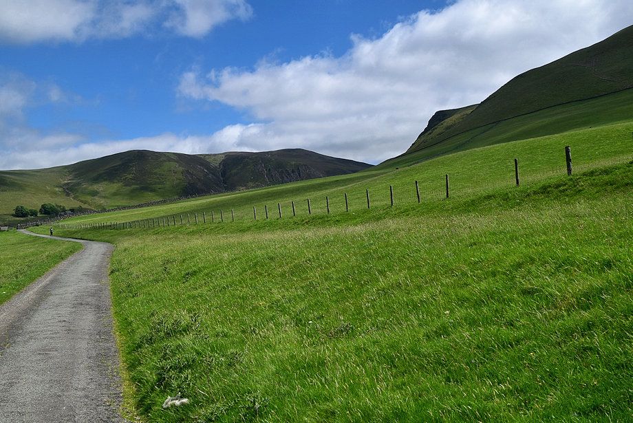
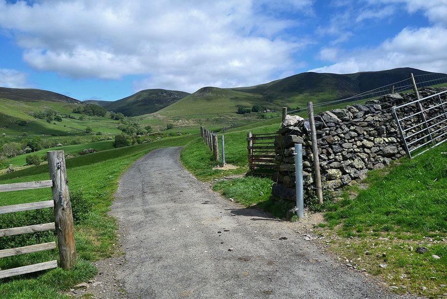
| The road rises gently though a succession of gateways |
 |
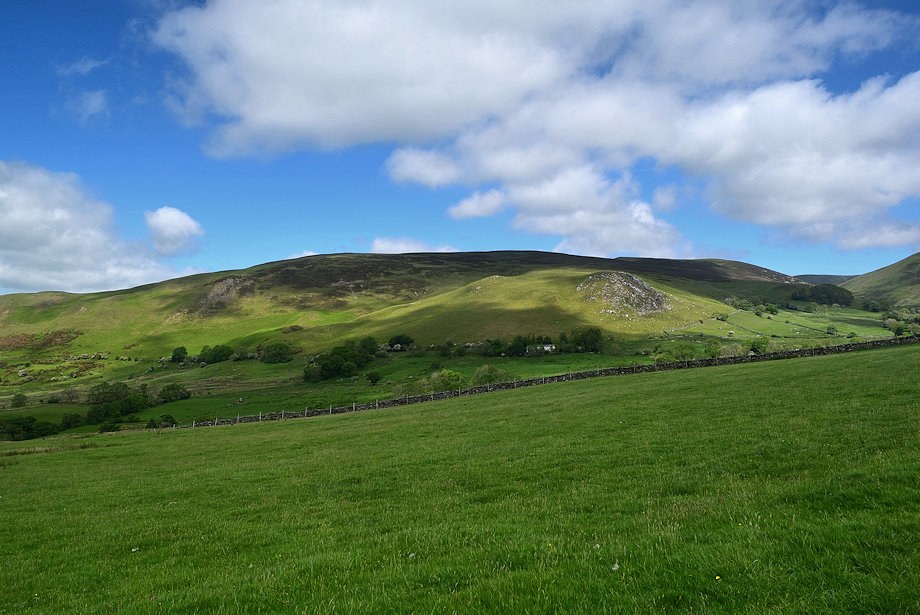
| Little Nettle Hause and Black Nettle Hause from the road |
 |
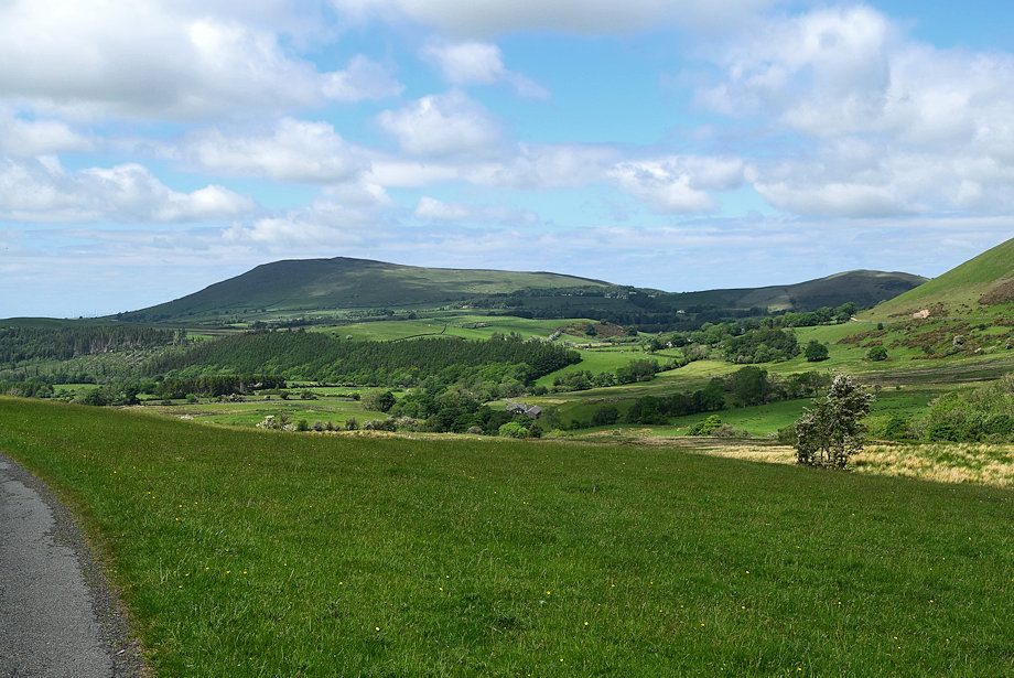
| Looking back towards Binsey |
 |
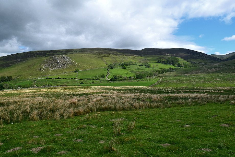
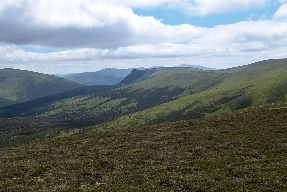
| Looking over towards Little Cockup and Great Cockup with sunlight highlighting Brockle Crag |
 |
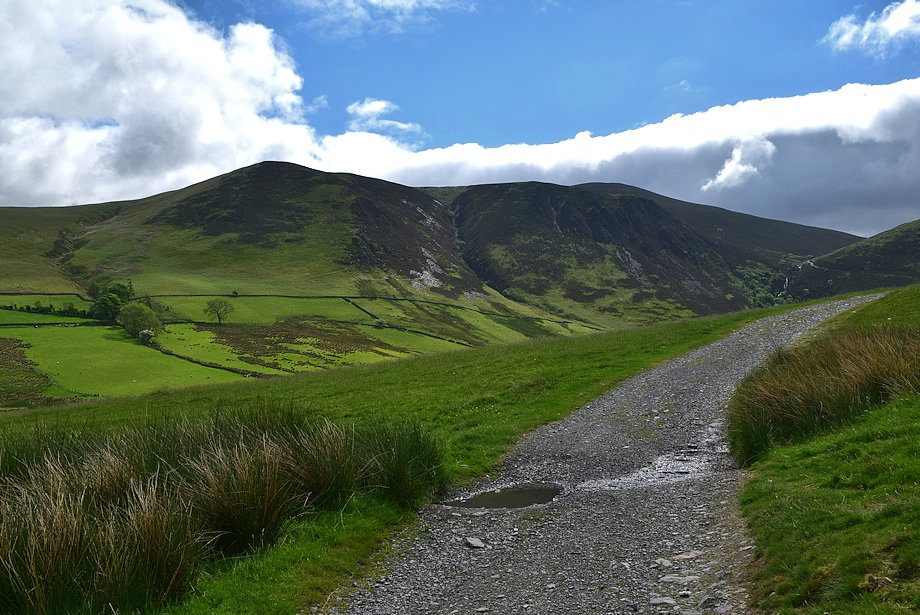
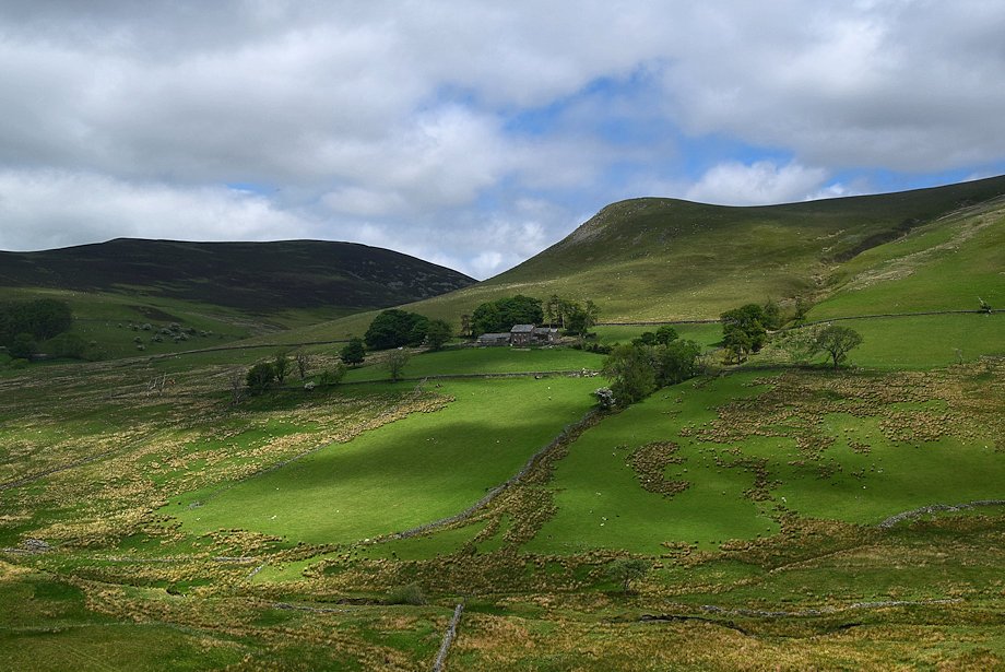
| Dash Farm comes into view |
 |
| Binsey and Latrigg |
 |
| Great Cockup, Burn Todd and White Hause |
 |
| Approaching the last gateway on the Dash Farm road |
 |
| Little Cockup and Great Cockup |
 |
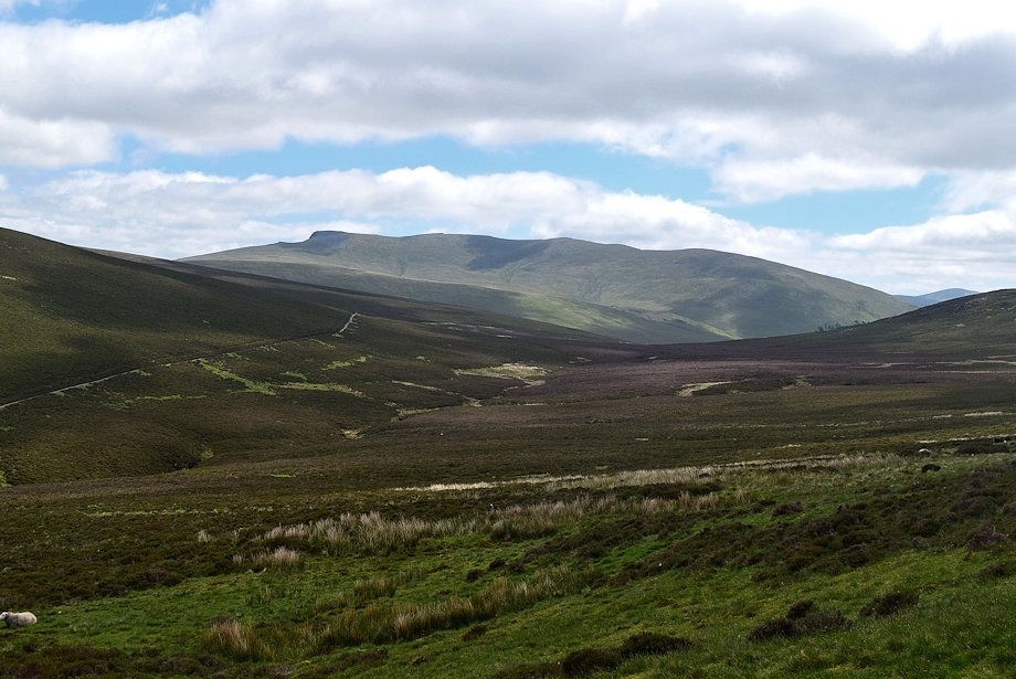
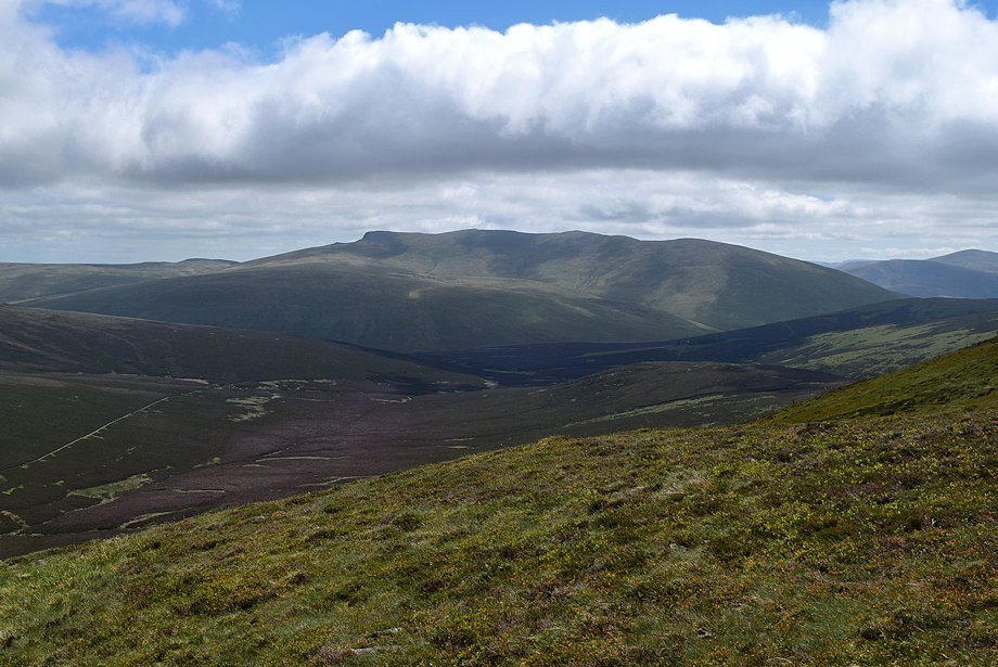
| Little Calva and the terminal cliff of Dead Crags on Bakestall |
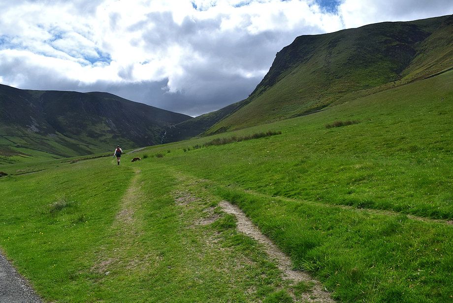 |
| A walker makes use of shortcut path just before the metalled road turns towards Dash Farm |
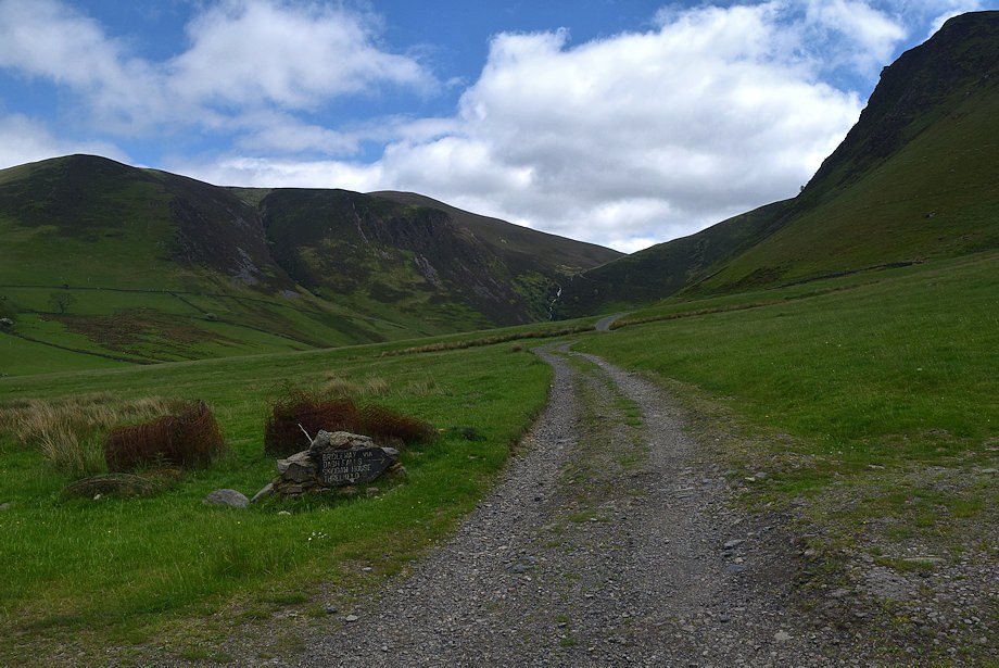 |
| As the road turns towards Dash Farm a guide stone directs walkers onto the bridleway track to Threlkeld via Dash Falls and Skiddaw House |
 |
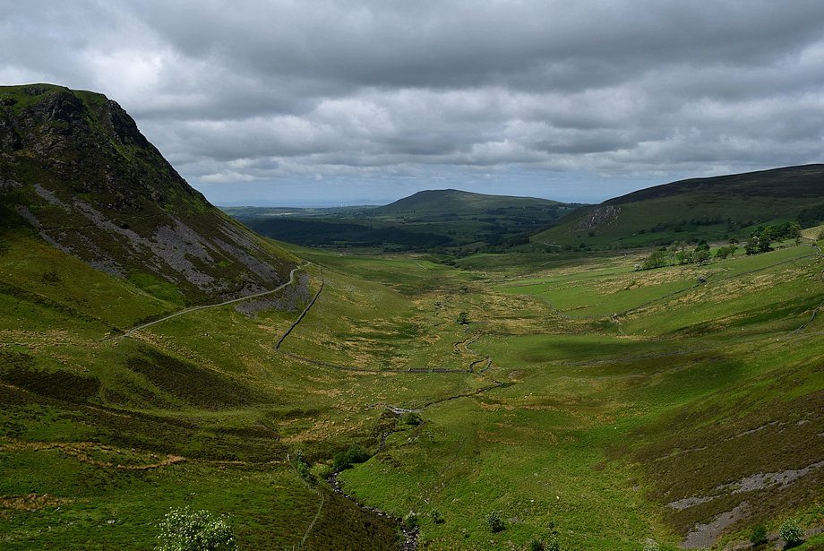
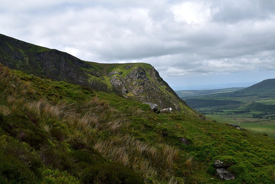
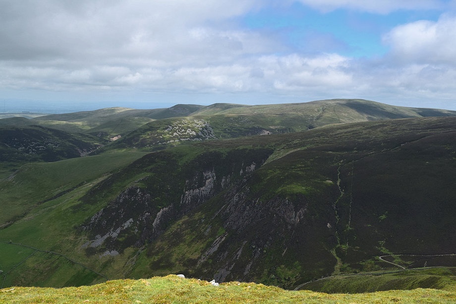
| The teminal cliff of Dead Crags and the ravine of Dead Beck from the bridleway track |
 |
| Little Nettle Hause and Black Nettle Hause divided by Foul Gill |
 |
| The bridleway rises towards a bridge over Dead Beck |
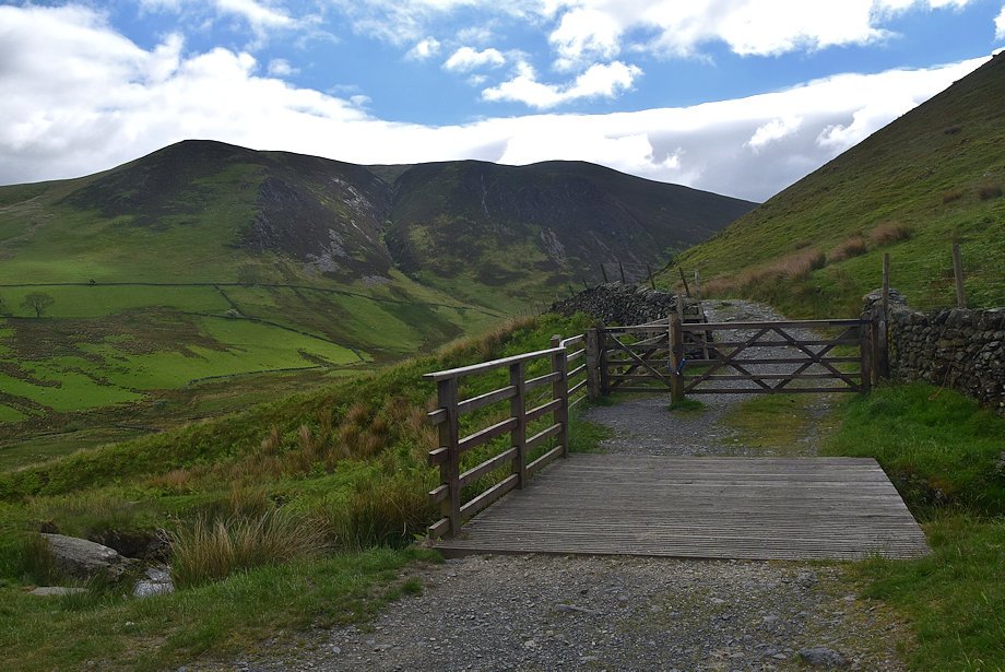 |
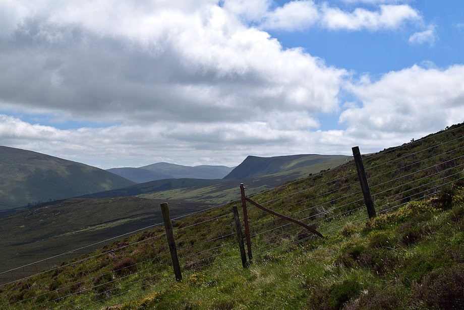
| The bridge over Dead Beck, the wide gate beyond it is normally locked to prevent un-authorised vehicles using the Skiddaw House access track |
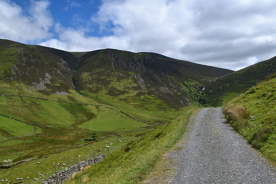 |
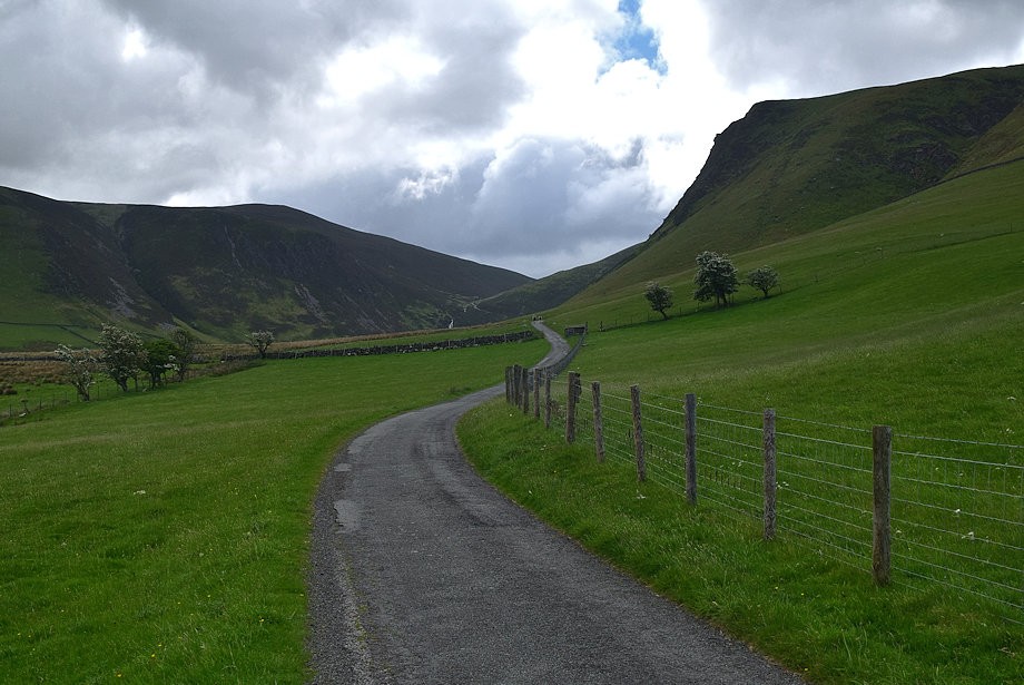
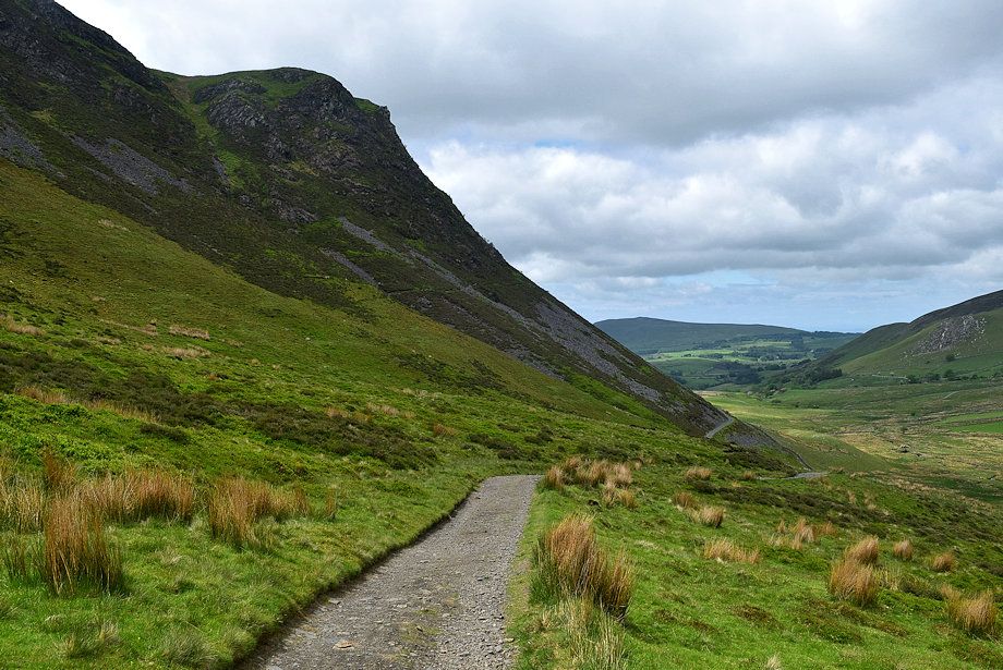
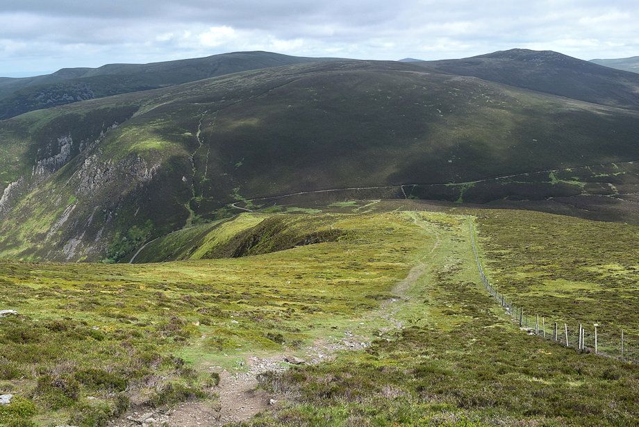
| The bridleway track continues on towards the col above Dash Falls |
 |
| Looking over to Dash Farm |
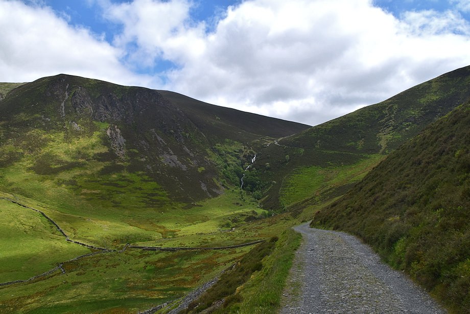 |
| The bridleway track descends slightly to pass beneath the amphitheatre of Dead Crags |
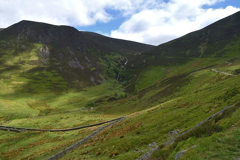 |
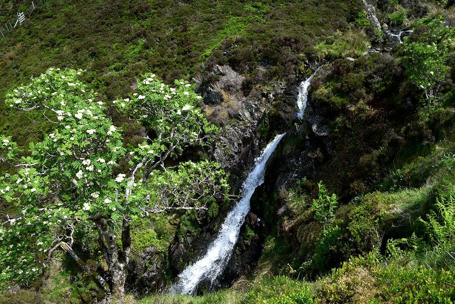
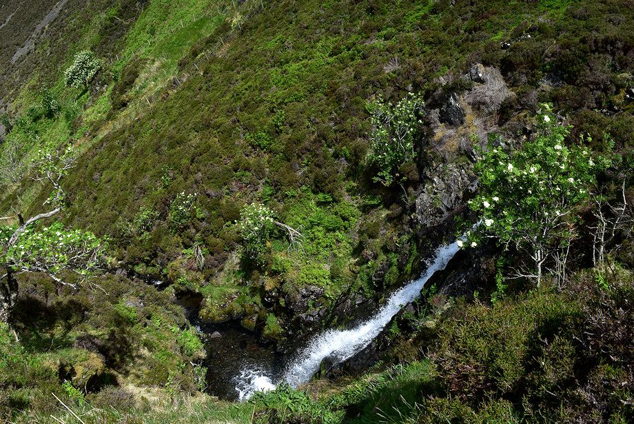
| Dash Falls, or more properly named Whitewater Dash from the bridleway track. Its ravine is enclosed by a sheep-proof fence which has enabled the natural regeneration of native trees |
 |
| Birkett Edge and Dead Crags from the bridleway track |
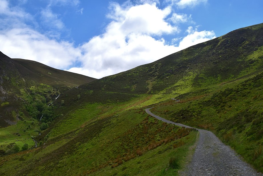 |
| The bridleway track begins to climb to the col above Dash Falls |
 |
| Looking back to the terminal cliff of Dead Crags from the climb to the col |
 |
| Black Nettle Hause above the tree shrouded ravine of Dash Falls |
 |
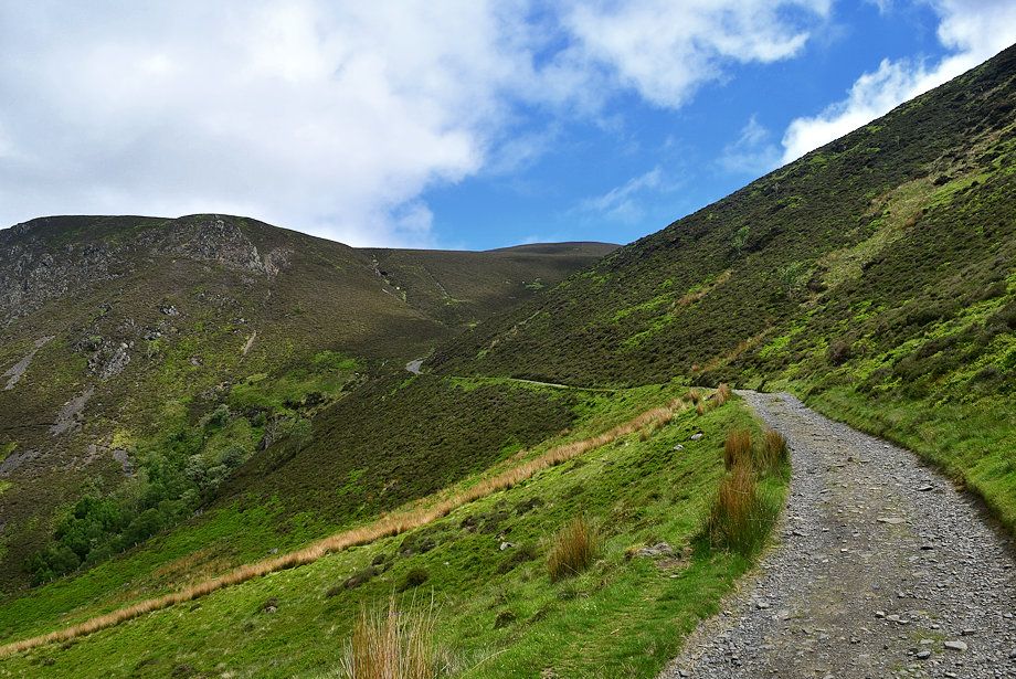
| The bridleway track rising across the slopes of Birkett Edge |
 |
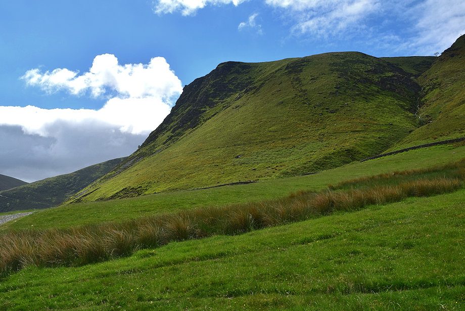
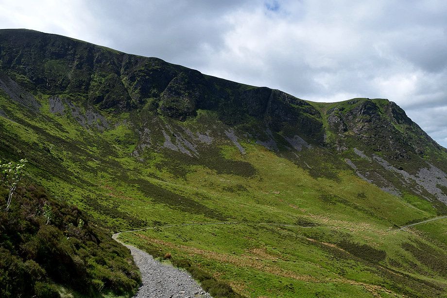
| The craggy profile of Black Nettle Hause, an unusual name, the Hause part means neck of land at the head of the valley |
 |
| The Dash Valley from below Black Nettle Hause |
 |
| Looking back to Dead Crags |
 |
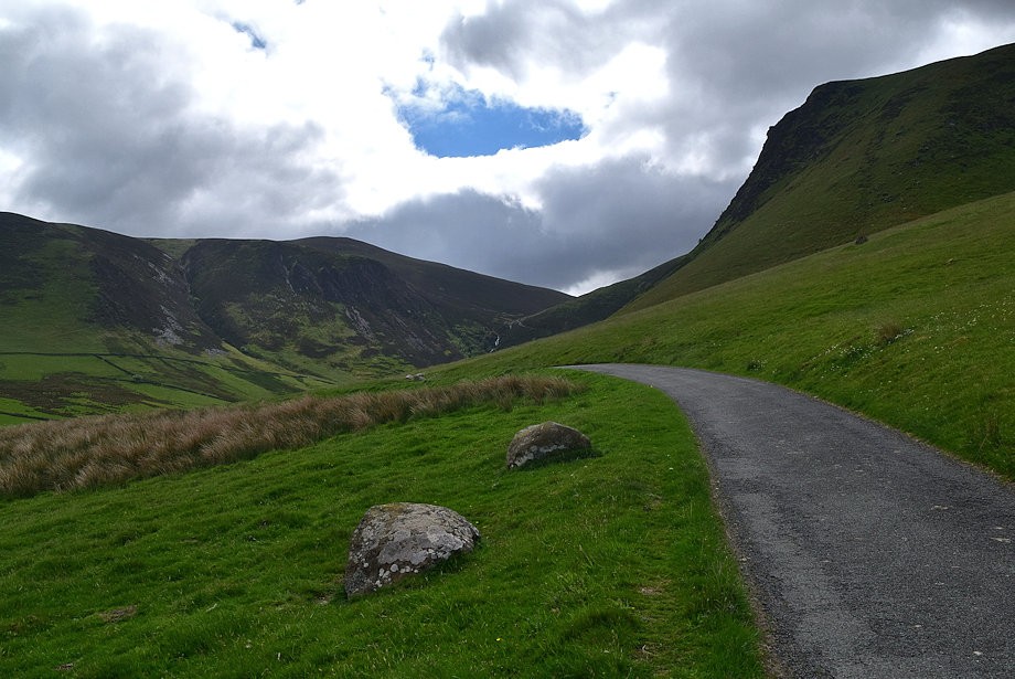
| Approaching the col above Dash Falls |
 |
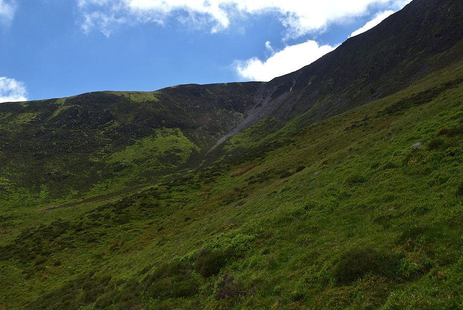
| The upper waterfall of Dash Falls from just below the col |
 |
| The upper part of Dash Falls is the only section that can be easily seeen from the bridleway track |
 |
| Looking back from just below the col |
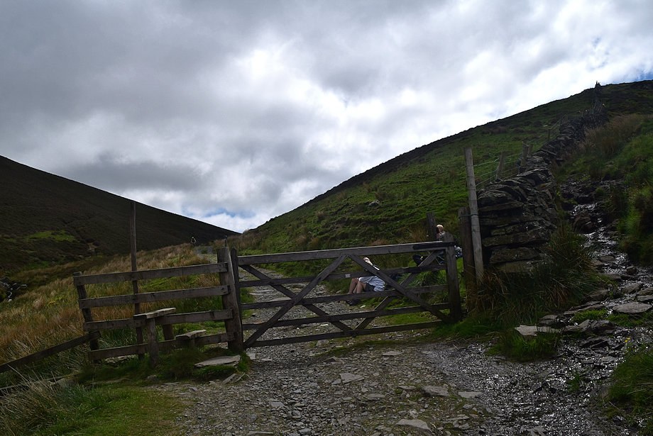 |
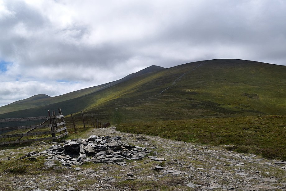
| The track continues on beyond a gate bound for Skiddaw House, it's time to leave it to begin the climb to the summit of Bakestall via Birkett Edge |
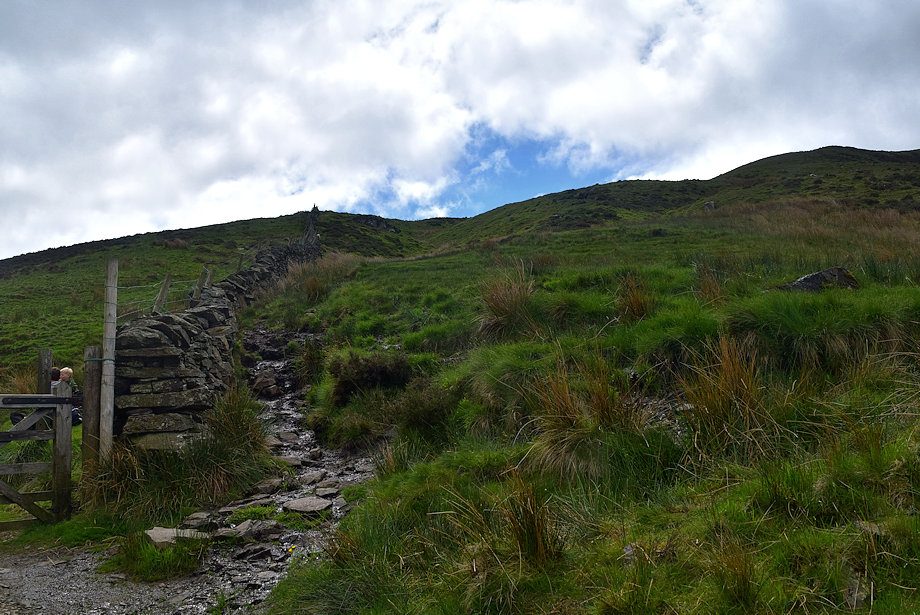 |
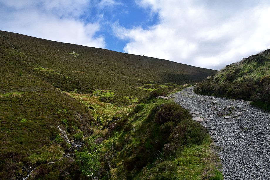
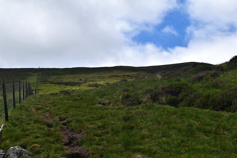
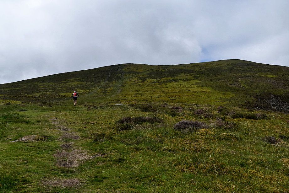
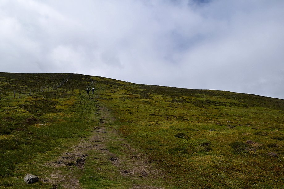
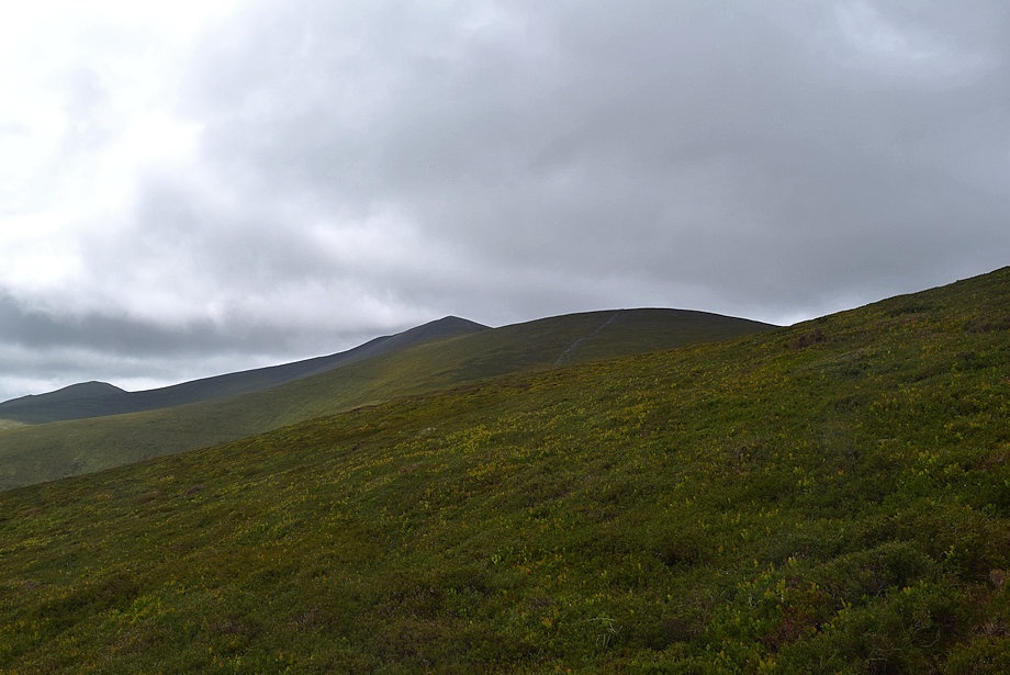
| The path to the summit follows the wall, the first section can be quite boggy in places |
 |
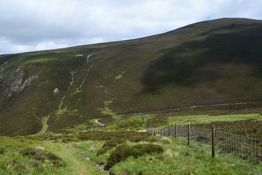
| The sunlit terminal cliff from the start of the path along Birkett Edge |
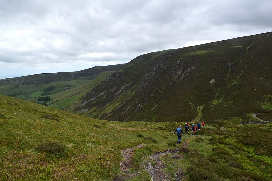 |
| Walkers descending the path back to the col |
 |
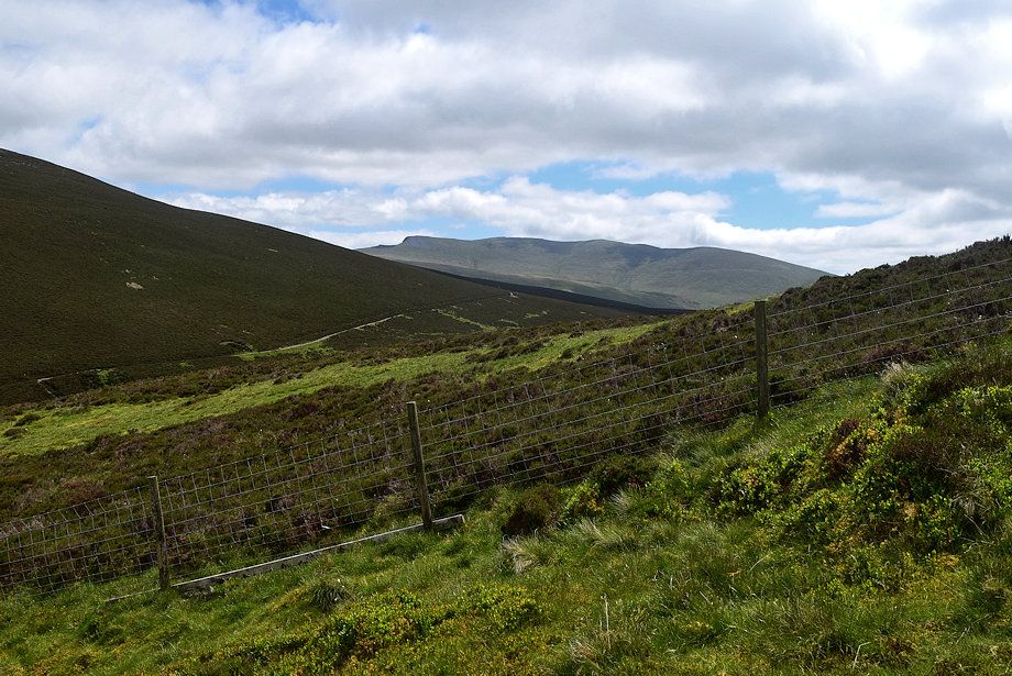
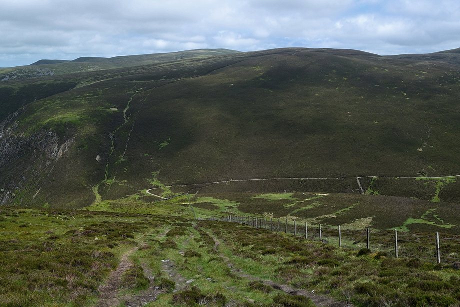
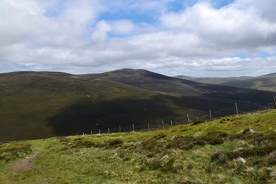
| The wall on the lower slope is quite short and soon gives way to post and wire fence |
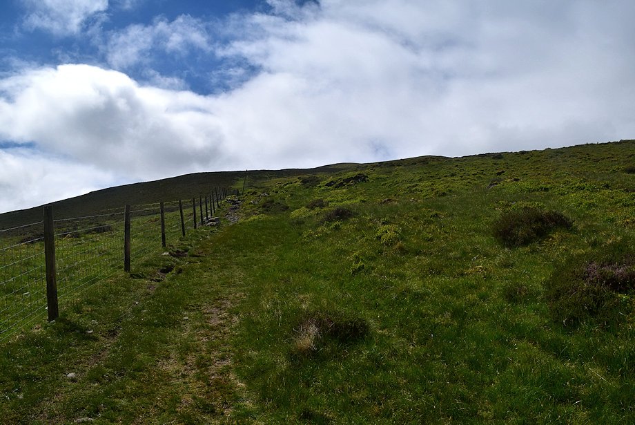 |
| The fence is followed all the way to Bakestall's highest point |
 |
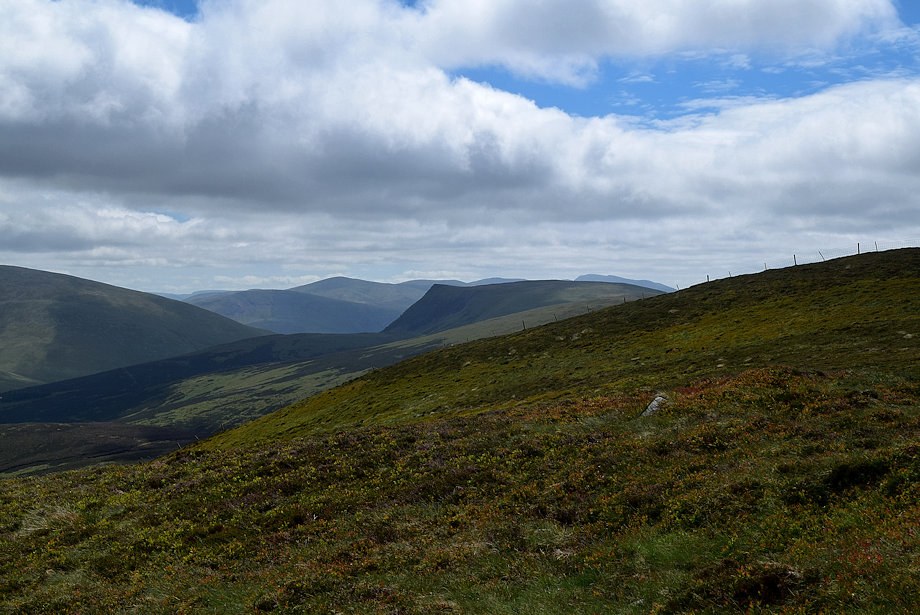
| Looking over towards Blencathra |
 |
| Little Calva from the lower slopes of Birkett Edge |
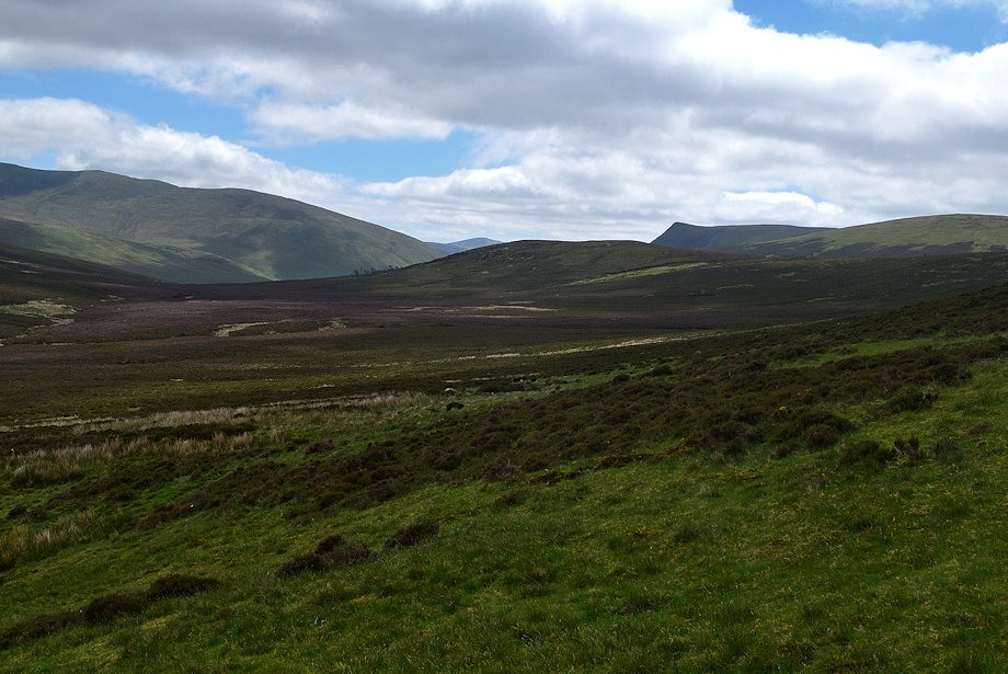 |
| The bleak moor of Skiddaw Forest, Skiddaw House is located amongst the trees centre left beyond Hare Crag |
 |
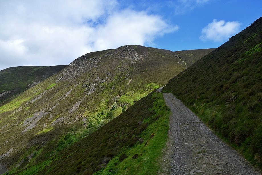
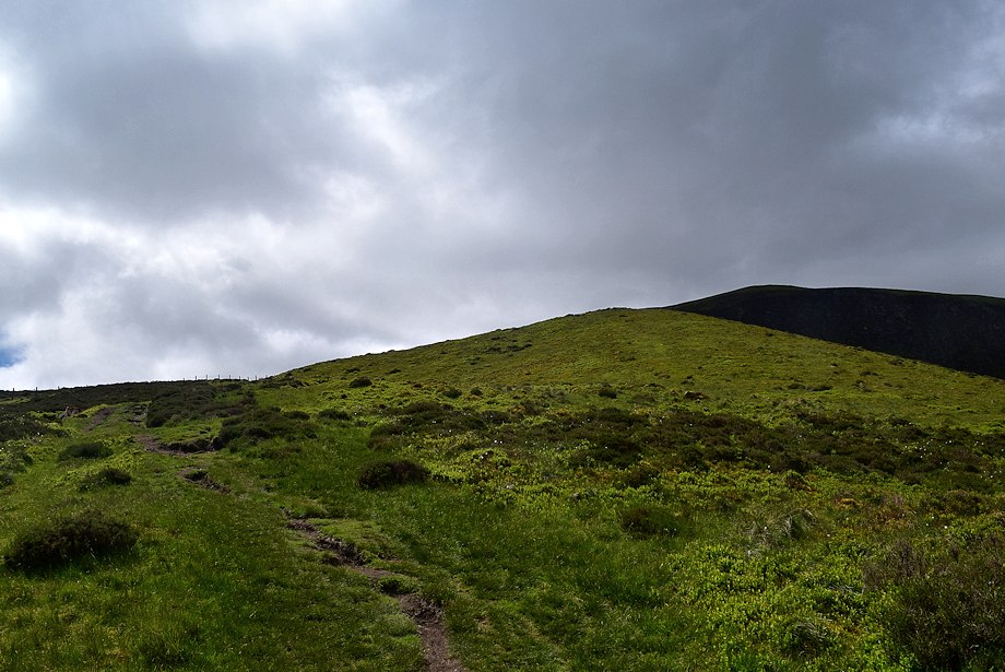
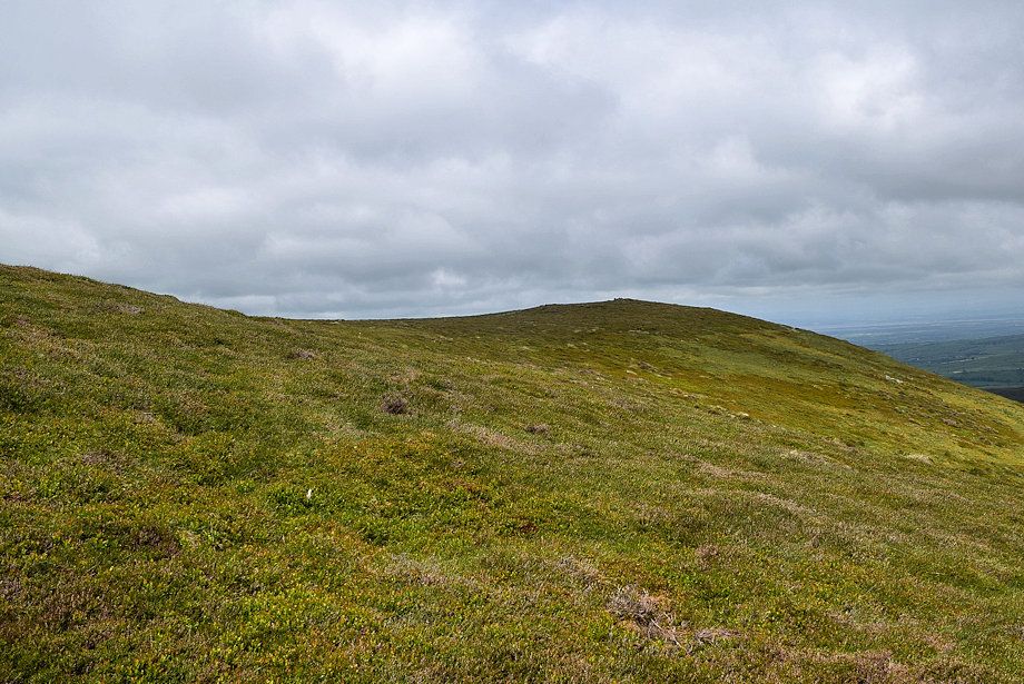
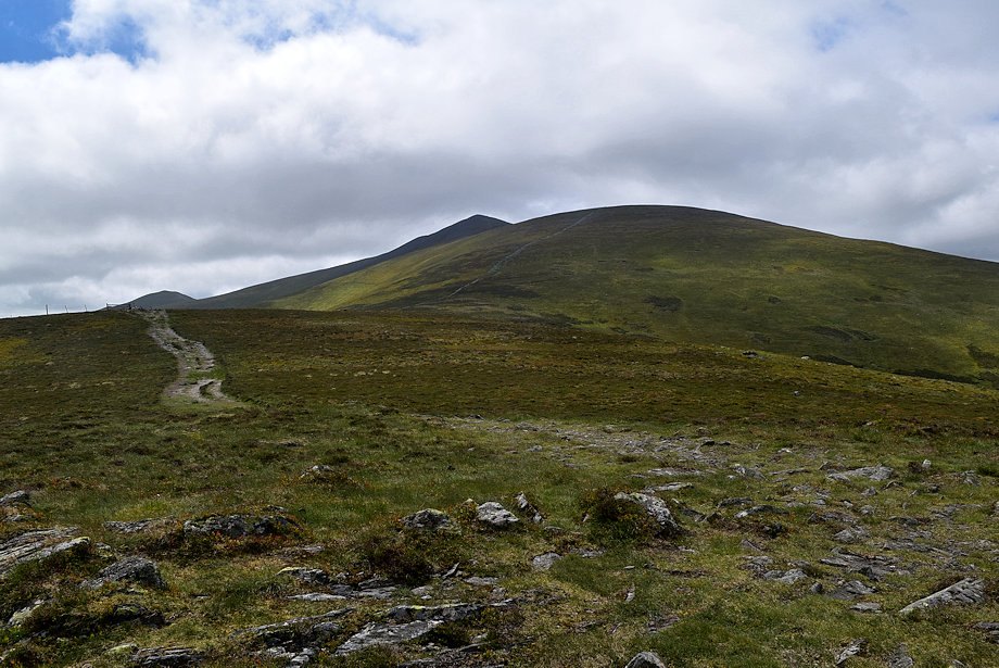
| The summit of Bakestall comes into view |
 |
| Blencathra across Skiddaw Forest |
 |
| Clough Head, Great Dodd and Stybarrow Dodd appear between the slopes of Blease Fell and Lonscale Fell |
 |
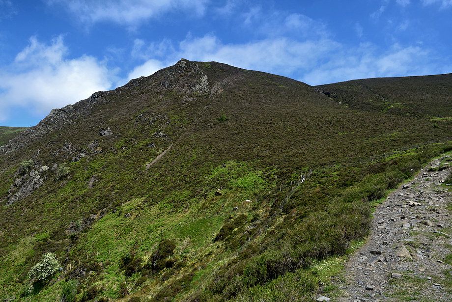
| Although the fence rises to the highest point on the summit ridge the more defined top on the right has long been regarded as the summit of the fell |
 |
| Looking back down to the col |
 |
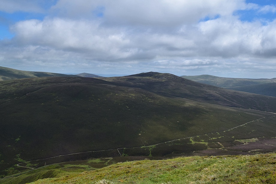
| Little Calva and Great Calva |
 |
| The final slope leading up to the highest point, a minor path breaks away to the right to traverse more directly to the traditional summit |
 |
| Looking over to the summit of Bakestall |
 |
| Looking back along the path on Birkett Edge |
 |
| Looking over towards Skiddaw Little Man, Skiddaw and Broad End |
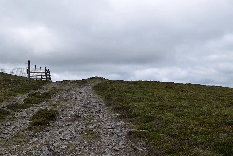 |
| Approaching the highest point where the fence turns sharply to the south |
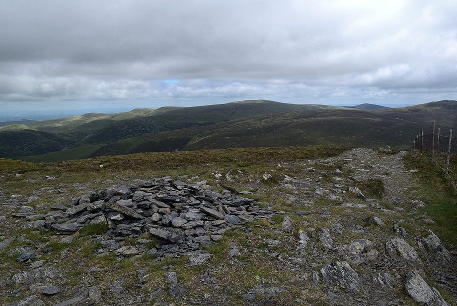 |
| The cairn on the highest point |
 |
| Blencathra from the highest point |
 |
| Helvellyn appears over the summit of Lonscale Fell |
 |
| Skiddaw Little Man, Skiddaw and Broad End from the highest point |
 |
| The traditional summit lies a hundred yards to the north across a shallow depression |
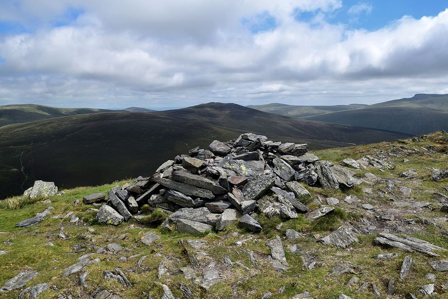 |
| The cairn on Bakestall's summit |
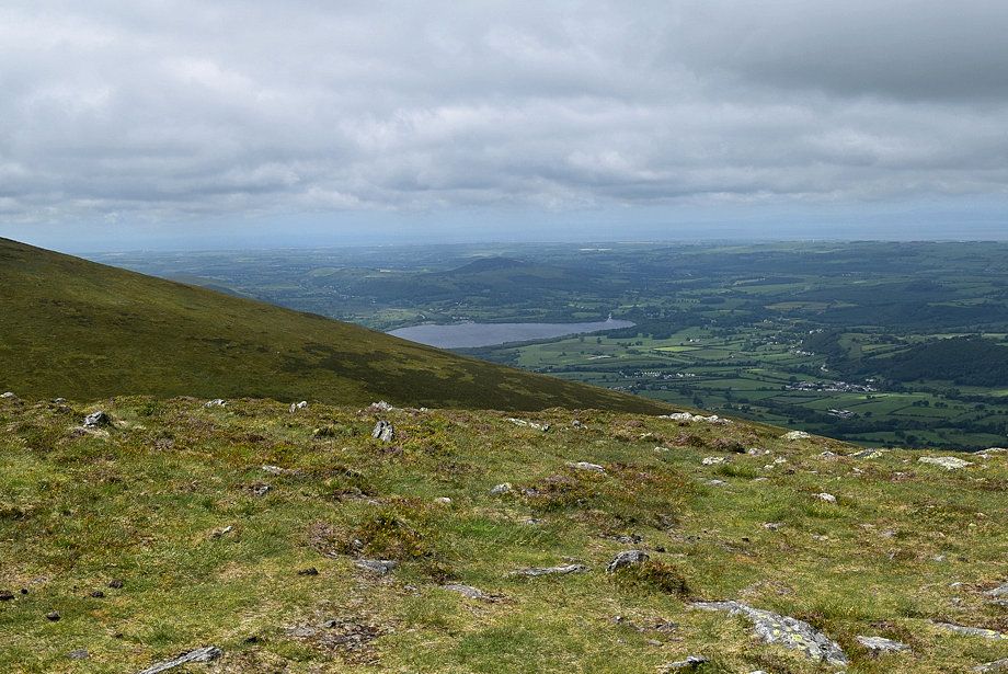 |
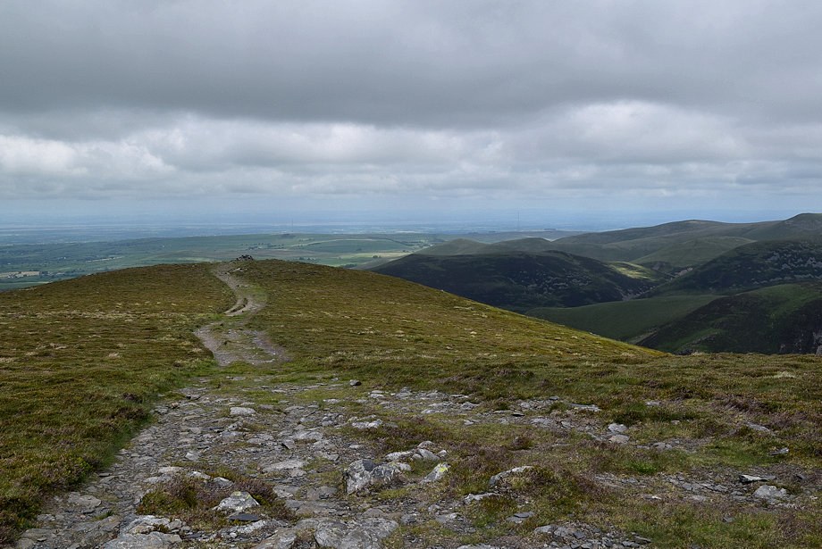
| The foot of Bassenthwaite Lake from the summit of Bakestall |
 |
| Binsey and Over Water from the summit of Bakestall |
 |
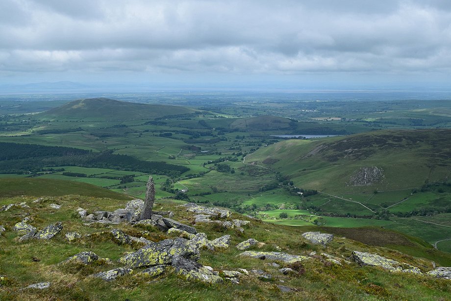
| Brae Fell, Little Sca Fell, Great Sca Fell and Knott from the summit of Bakestall |
 |
| Little Calva, High Pike, Great Calva and Bowscale Fell from the summit of Bakestall |
 |
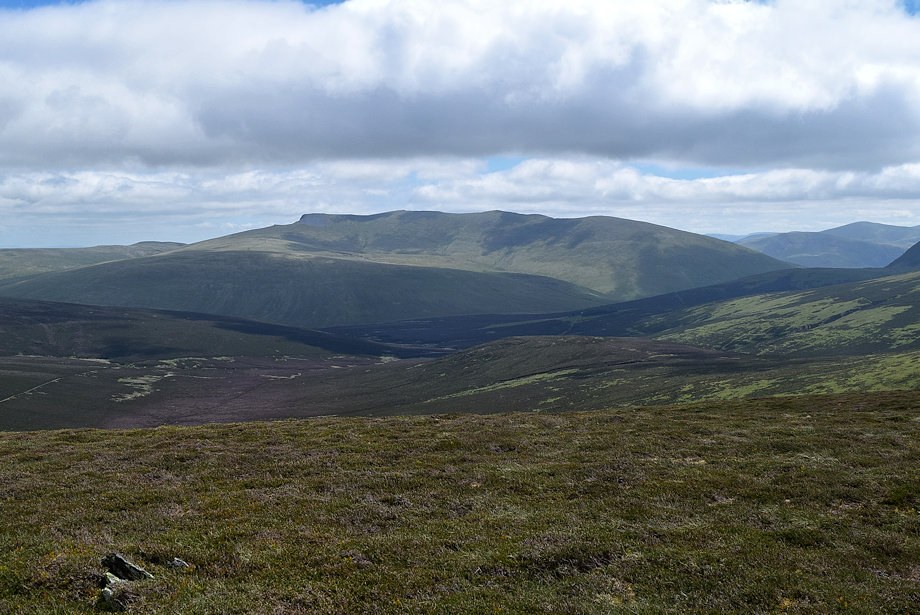
| Blencathra from the summit of Bakestall |
 |
| Clough Head, Great Dodd, Stybarrow Dodd, Raise and Helvellyn from the summit of Bakestall |
 |
| Walkers passing over the highest point after traversing the Skiddaw tops from Gale Road End car park they will return there via Skiddaw House |
 |
| Skiddaw Little Man, Skiddaw and Broad End from the summit of Bakestall |