 |
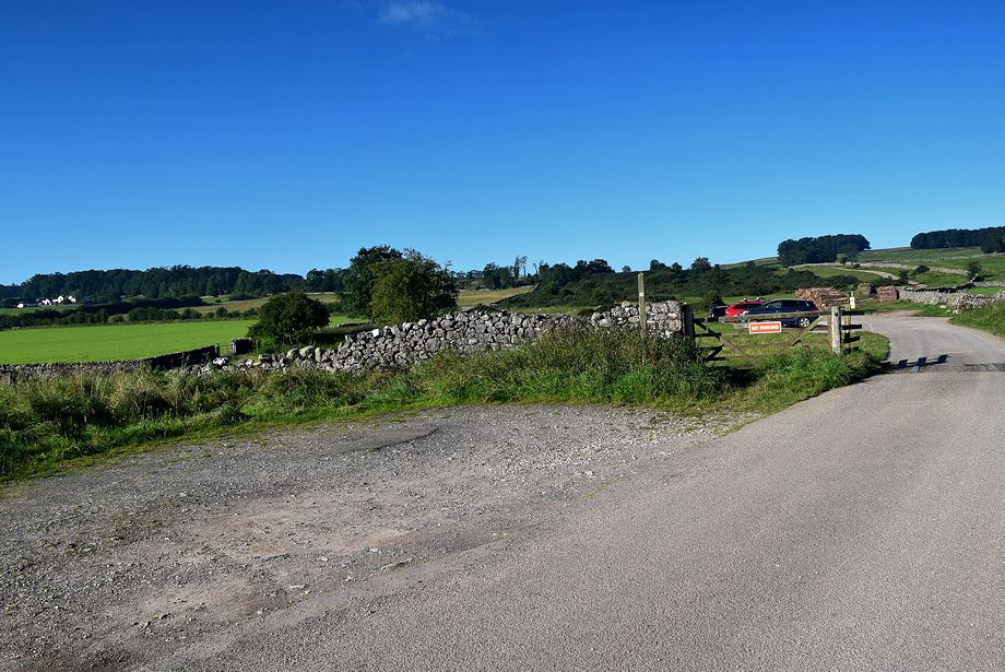
| The walk starts from the end of the public road, a third of mile west from the centre of Askham village, where there is a small parking area |
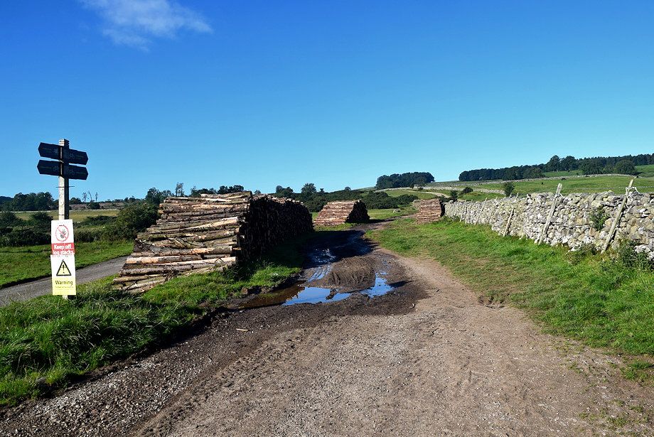 |
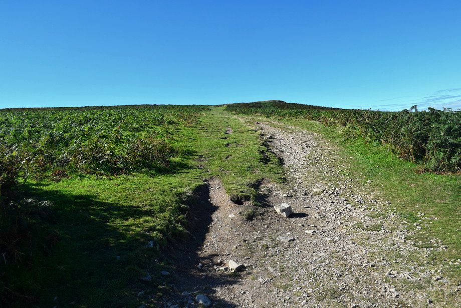
| Beyond the cattle grid a rough bridleway track continues along Don Bottom |
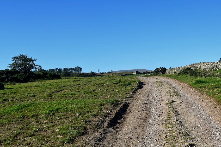 |
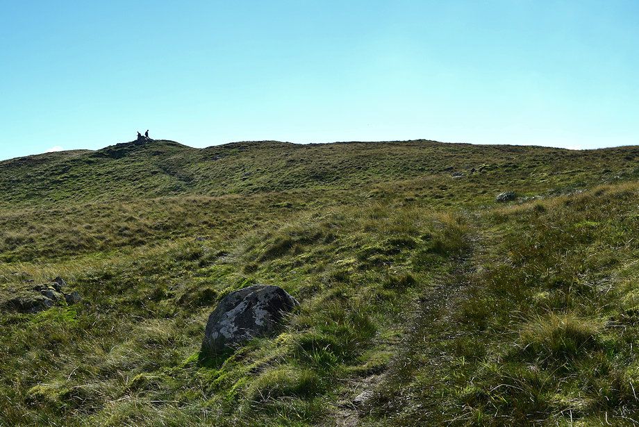
| The bridleway track begins to rise gently over Haber Hill towards a hipped roof barn |
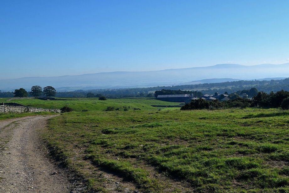 |
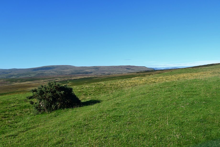
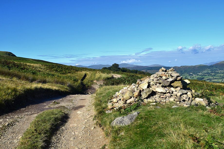
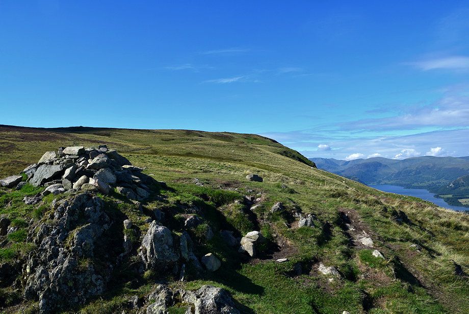
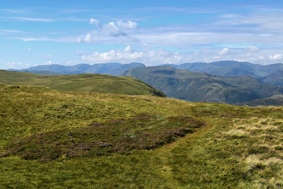
| Looking back towards Askham from Haber Hill |
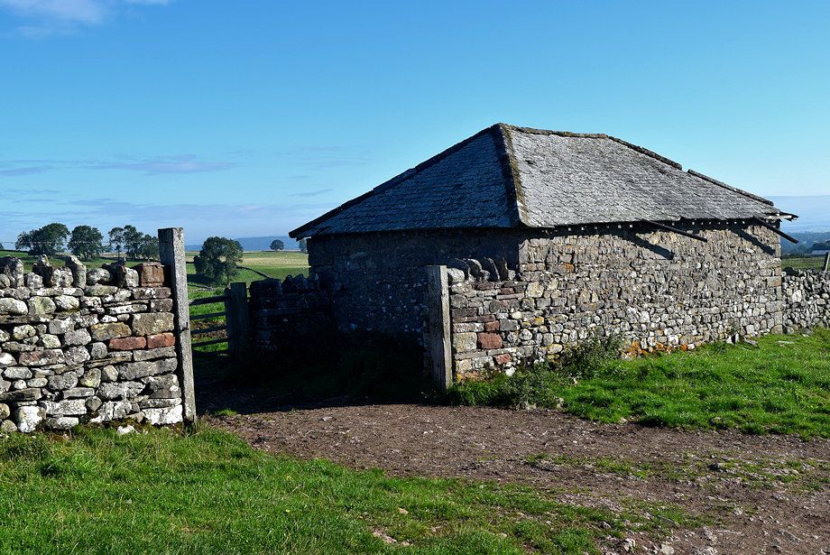 |
| Passing the hipped roof barn |
 |
| Beyond the barn a broad green path leads up to a gate in the field wall beside Coachclose Plantation which gives access to the open fellside |
 |
| Looking back from the field gate |
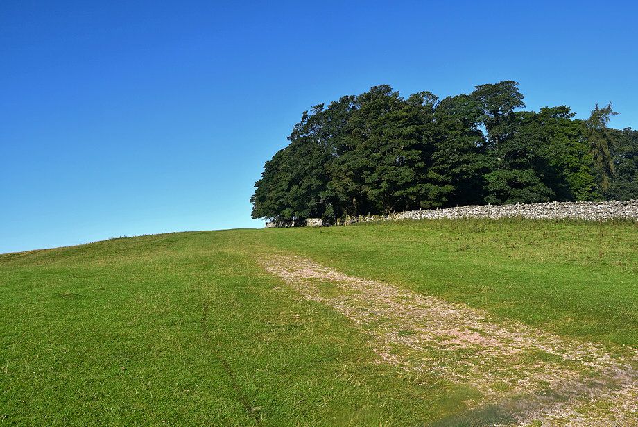 |
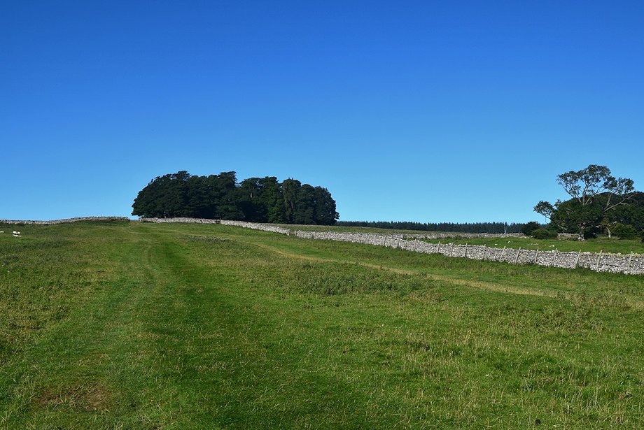
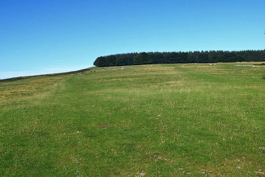
| The path rises alongside Coachclose Plantation |
 |
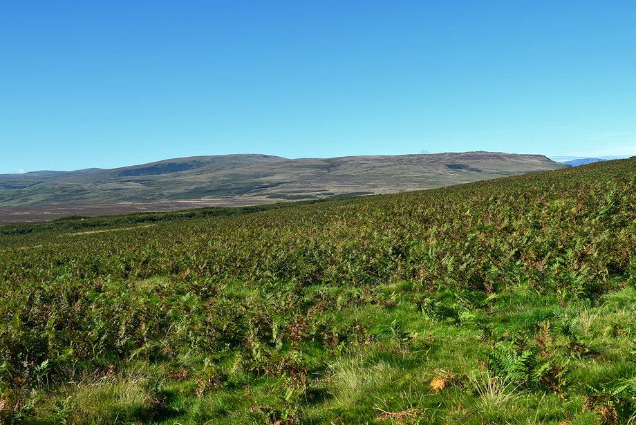
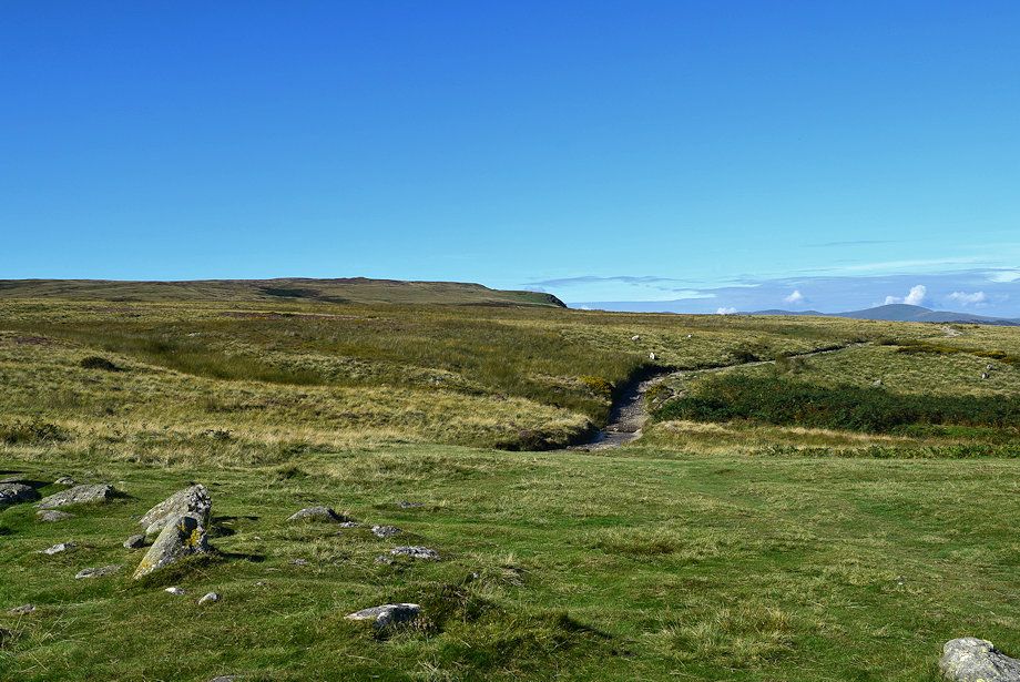
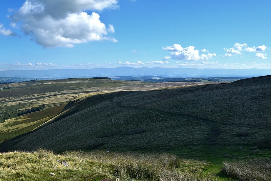
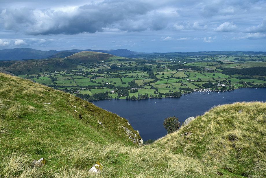
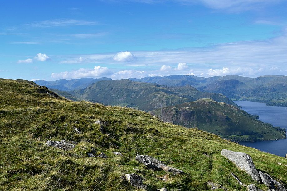
| Looking over to Loadpot Hill and Arthur's Pike |
 |
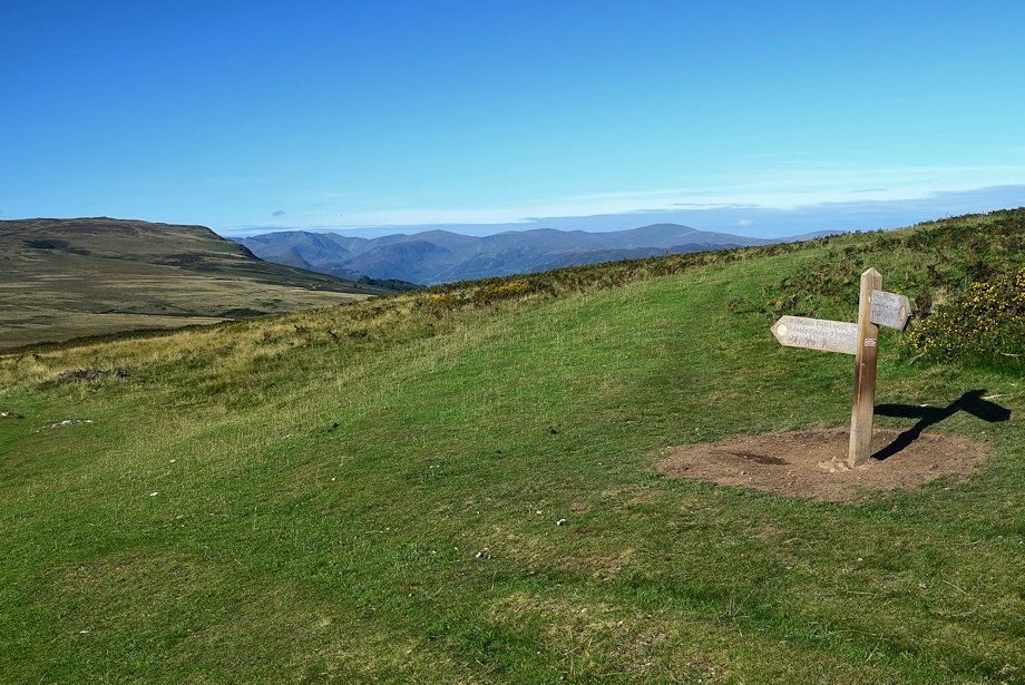
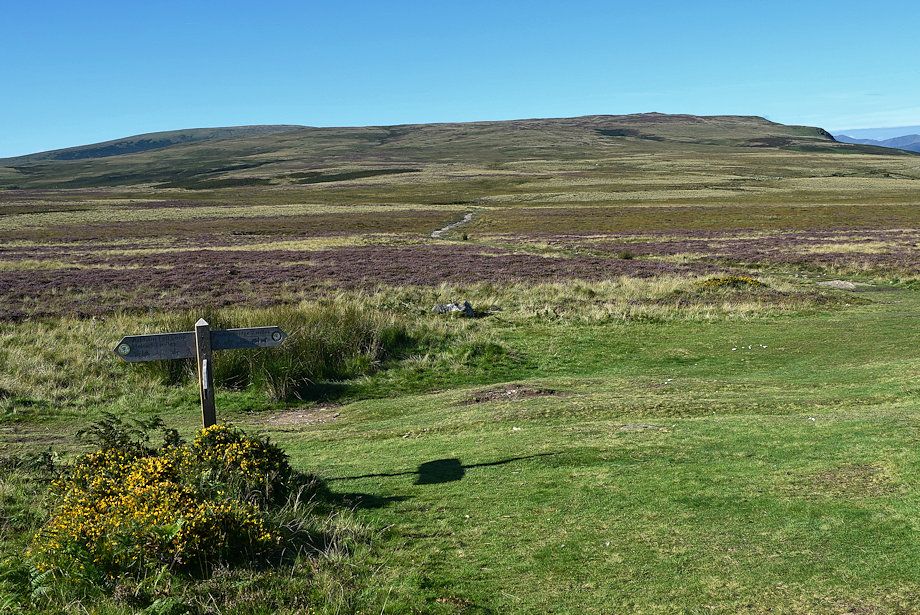
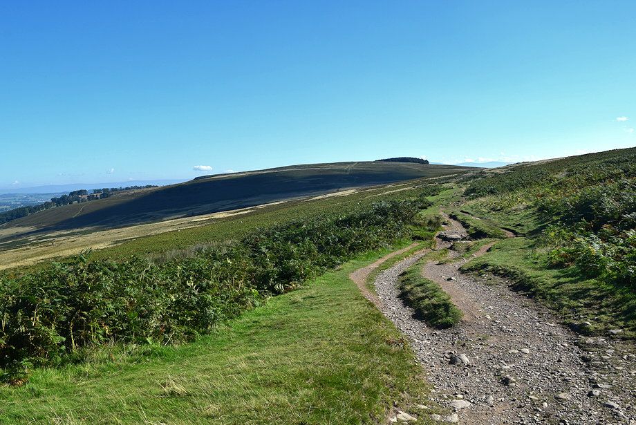
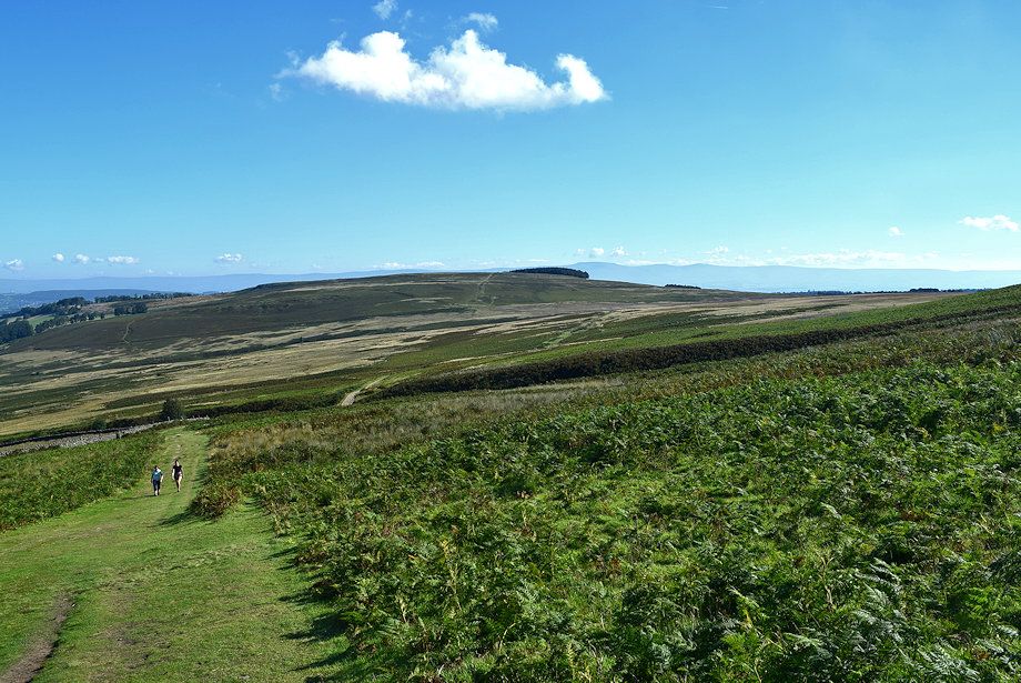
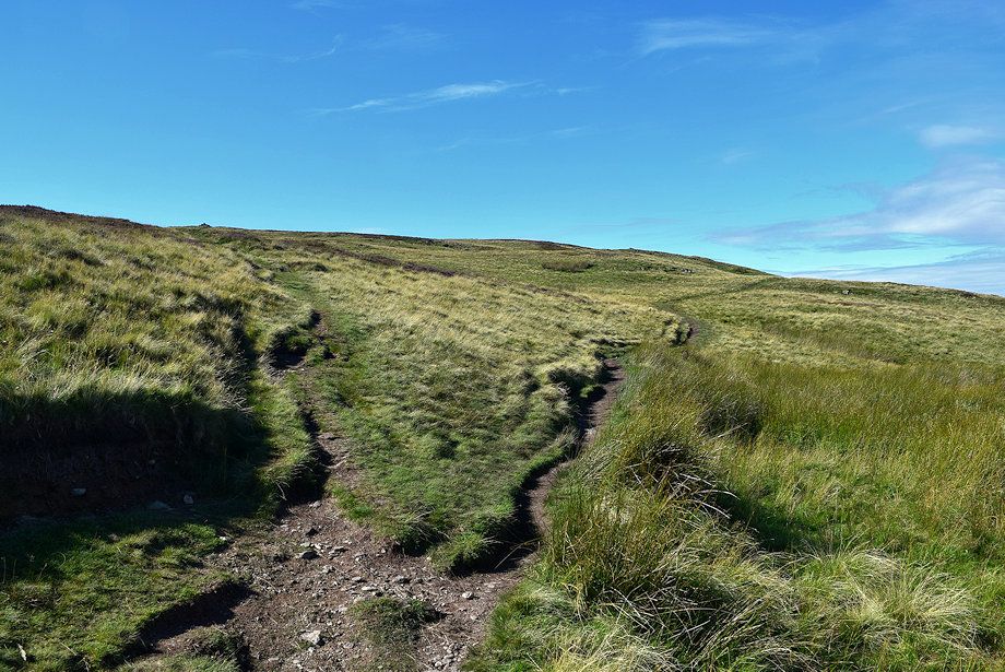
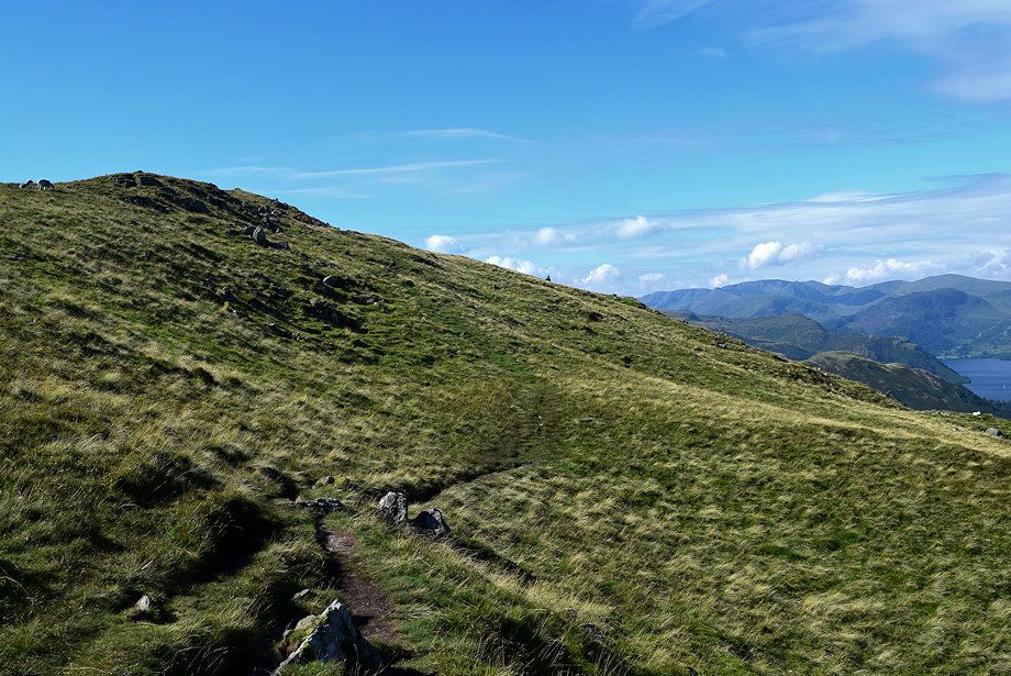
| Continue along the green path which climbs towards the edge of Winder Plantation and Heughscar Hill. This path to Winder Plantation is only followed for a couple of hundred yards before diverting left towards a signpost on Riggingleys Top |
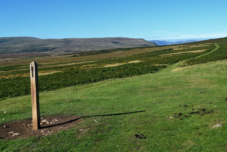 |
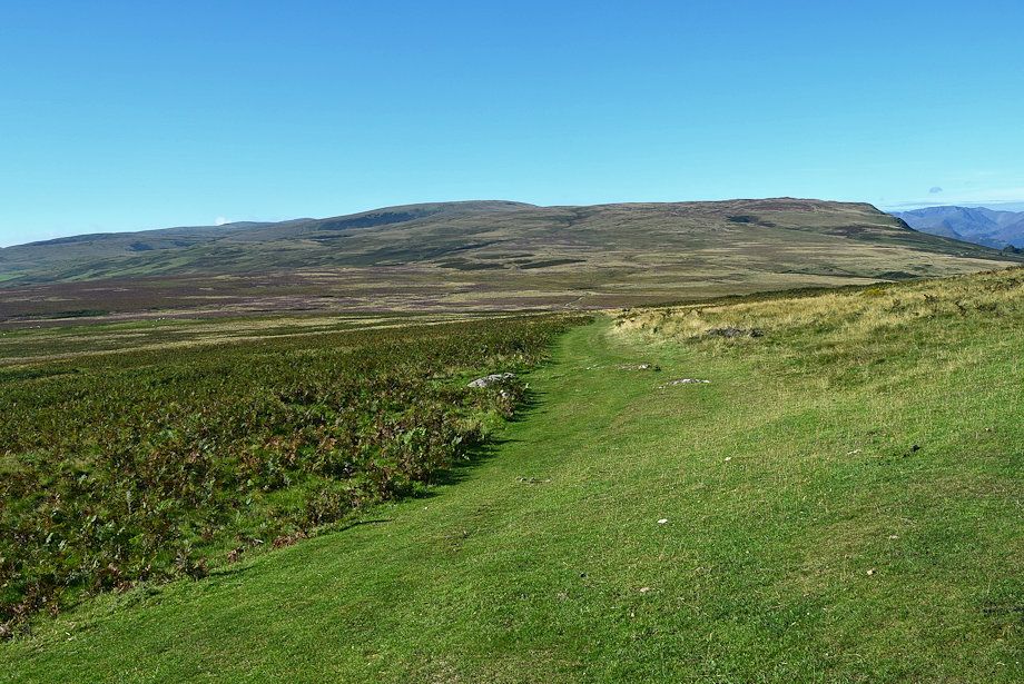
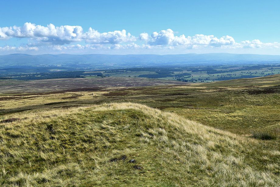
| The bridleway signpost on Riggingleys Top had lost its 'fingers' at the time of this walk. No doubt they will be replaced at sometime to once again point the way to Askham and Pooley Bridge. The bridleway continues straight ahead through the bracken across Askham Fell towards another signpost which overlooks Moor Divock |
 |
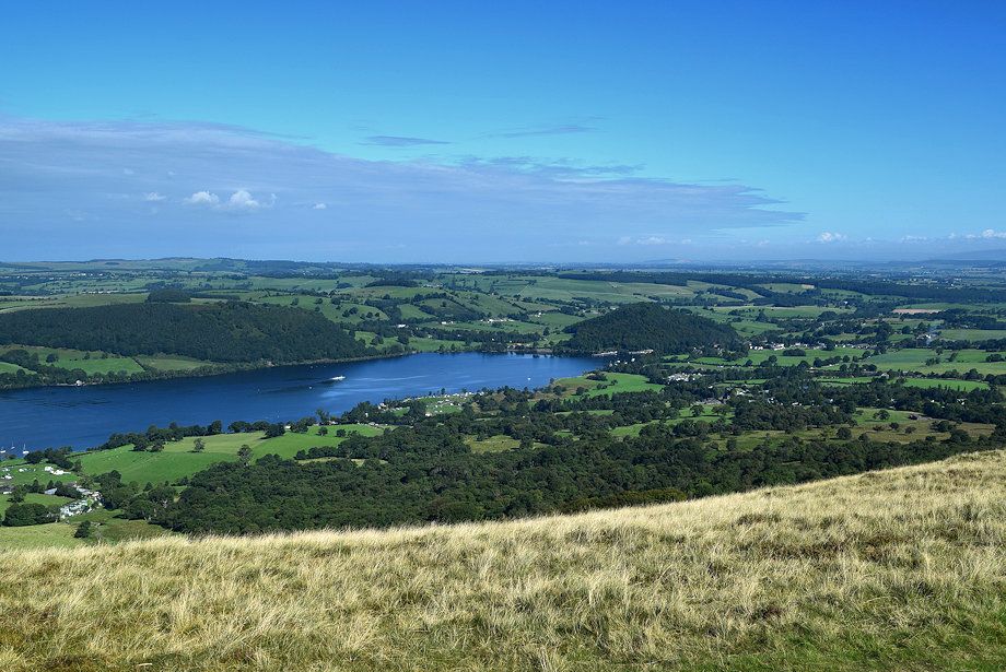
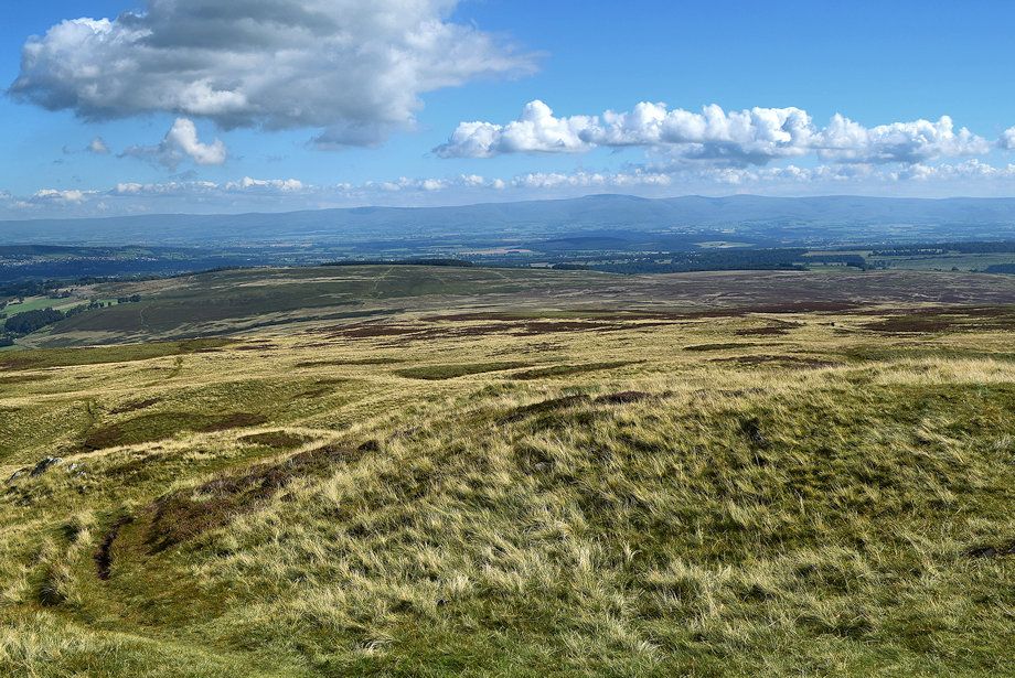
| Loadpot Hill and Arthur's Pike from Askham Fell |
 |
| Arthur's Pike from the second signpost |
 |
| Continue straight ahead descending towards Moor Divock and yet another signpost at Ketley Gate |
 |
| The Helvellyn range from the descent to Ketley Gate |
 |
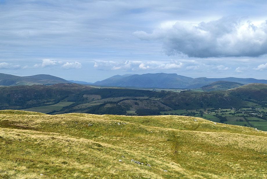
| Looking across to Blencathra on the horizon beyond Little Mell Fell and Great Mell Fell |
 |
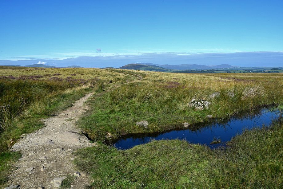
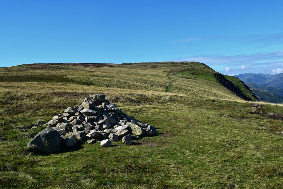
| The sugnpost at Ketley Gate. The way ahead leads straight ahead over Moor Divock to The Cockpit Stone Circle, crossing over an extensive area of bog on the way |
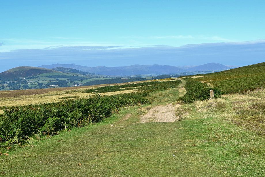 |
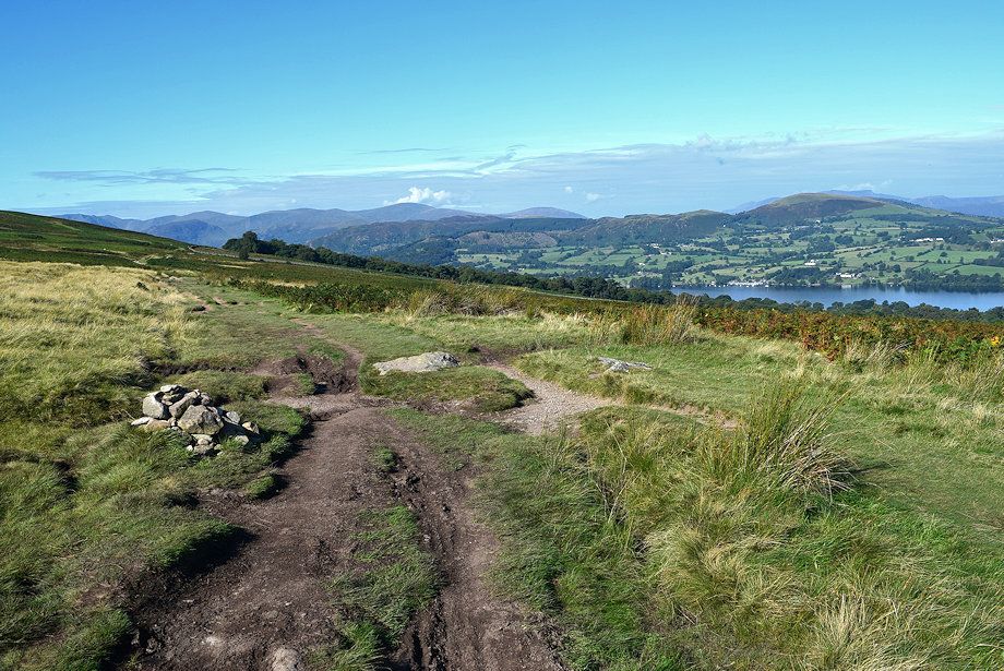
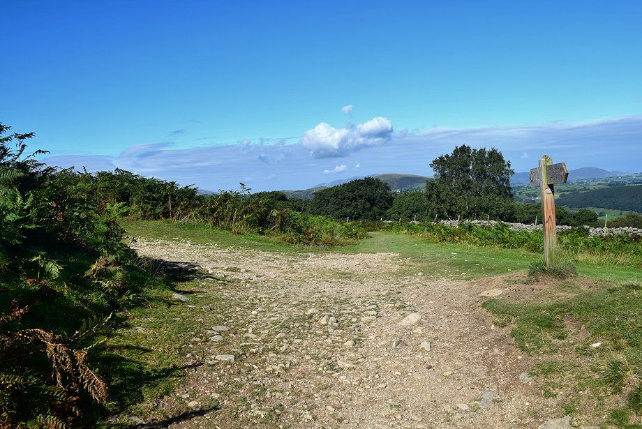
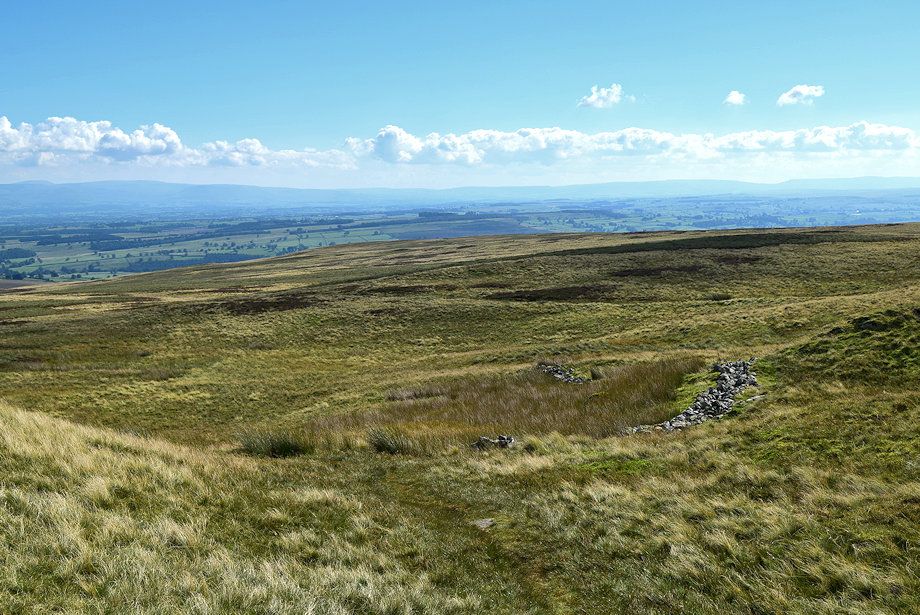
| Ketley Gate is at a crossroads of paths the one to the right leads to Pooley Bridge |
 |
| In AW's original guide he described the bog as positively the worst on any regular Lakeland path and to avoid it. Nowadays there is a very good path which enables the walker to cross it with ease |
 |
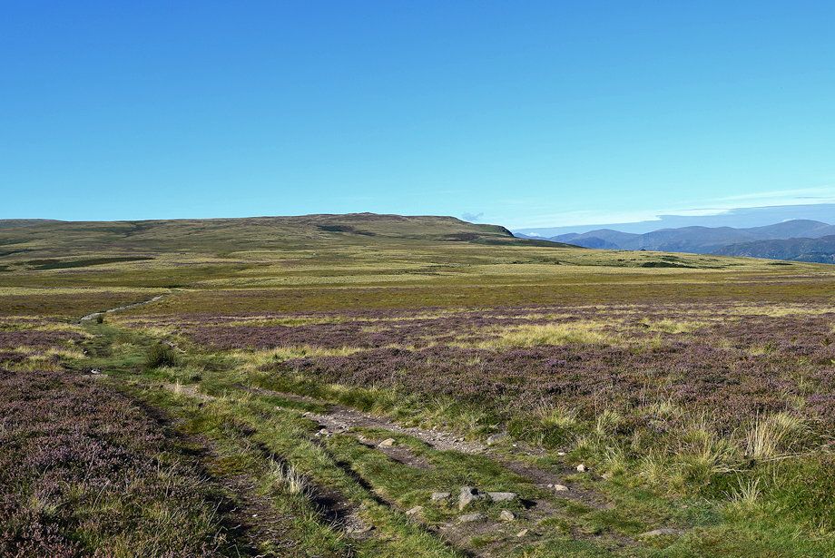
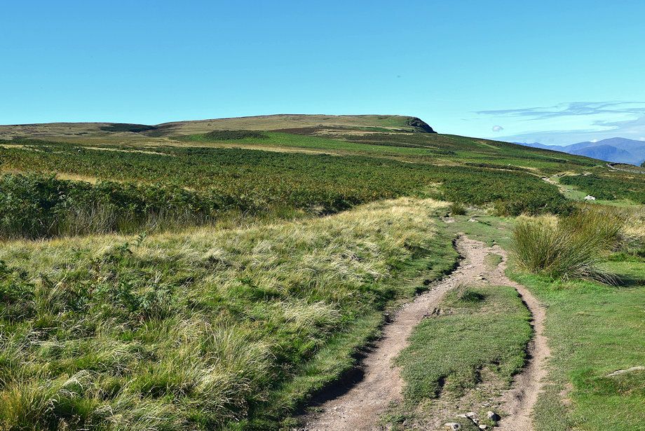
| Looking back to Heughscar Hill and Winder Plantation |
 |
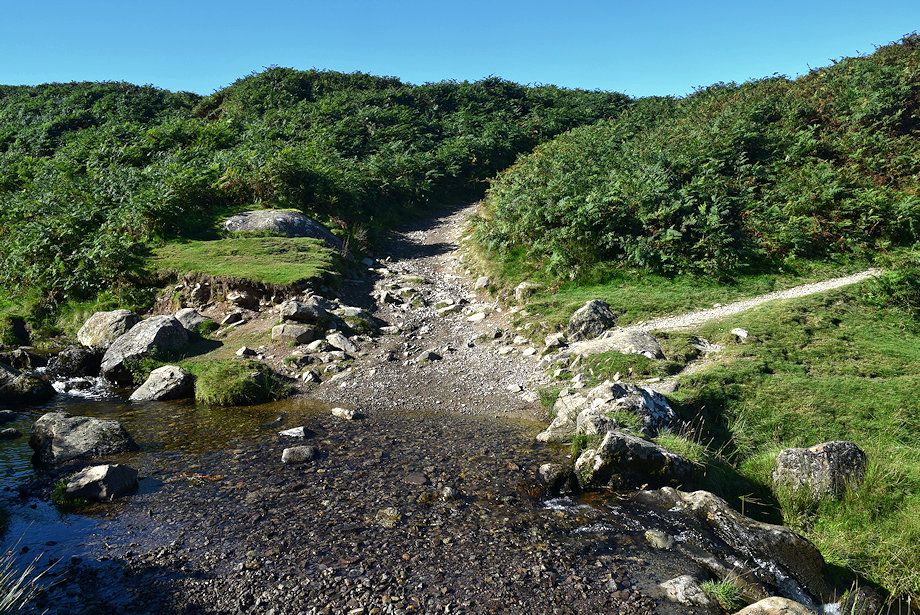
| The path exits the bog via a simple clapper bridge over one of Elder Beck's tributaries and turns up a dry bank to join the High Street Roman Road and the Ullswater Way path at The Cockpit stone circle |
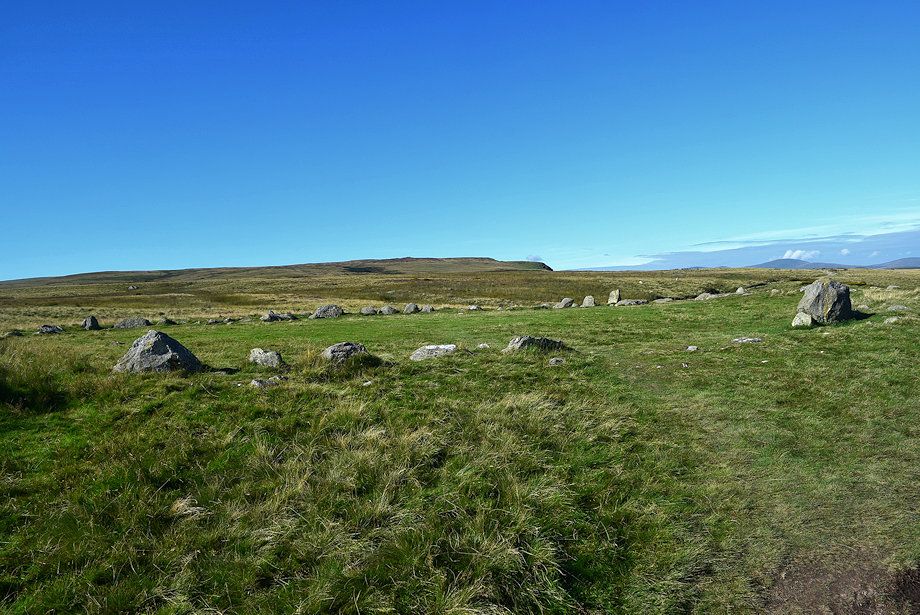 |
| The Cockpit stone circle, which is almost ninety feet in diameter, is a Scheduled Ancient Monument estimated to be between 5,000 - 3,500 years old |
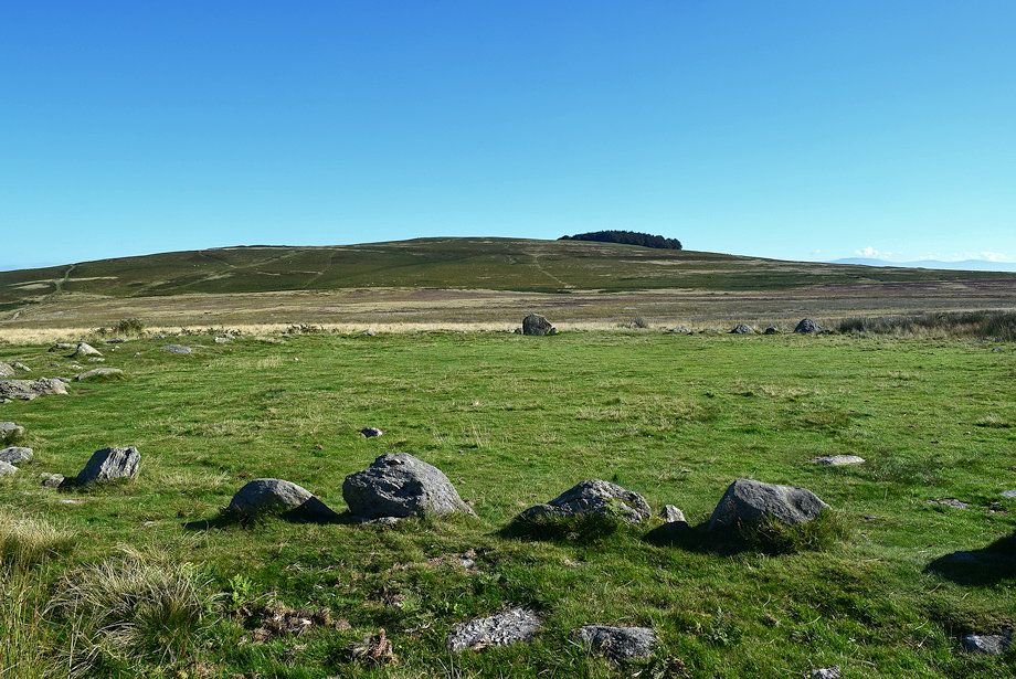 |
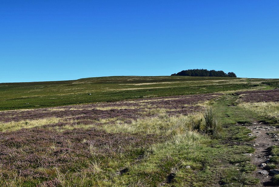
| Heughscar Hill from The Cockpit stone circle |
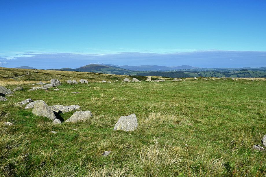 |
| Looking north-west from The Cockpit stone circle |
 |
| The way ahead from The Cockpit stone circle follows The Roman Road/Ullswater Way path which crosses the natural ford over Elder Beck |
 |
| Two hundred yards beyond the ford the Roman Road turns off to the left to ascend Brown Rigg. Keep with the Ullswater Way path which is much clearer as it continues straight ahead |
 |
| Arthur's Pike from the Ullswater Way path |
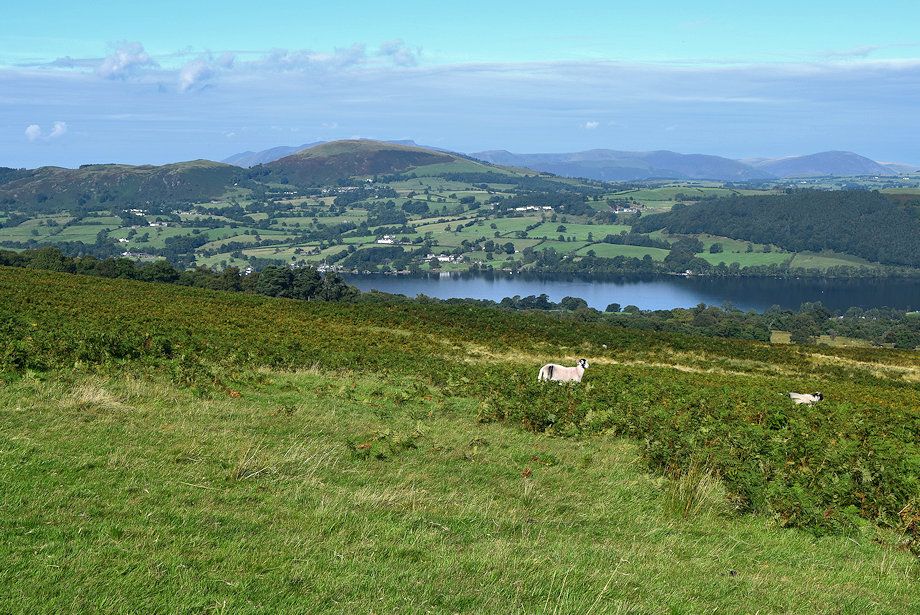 |
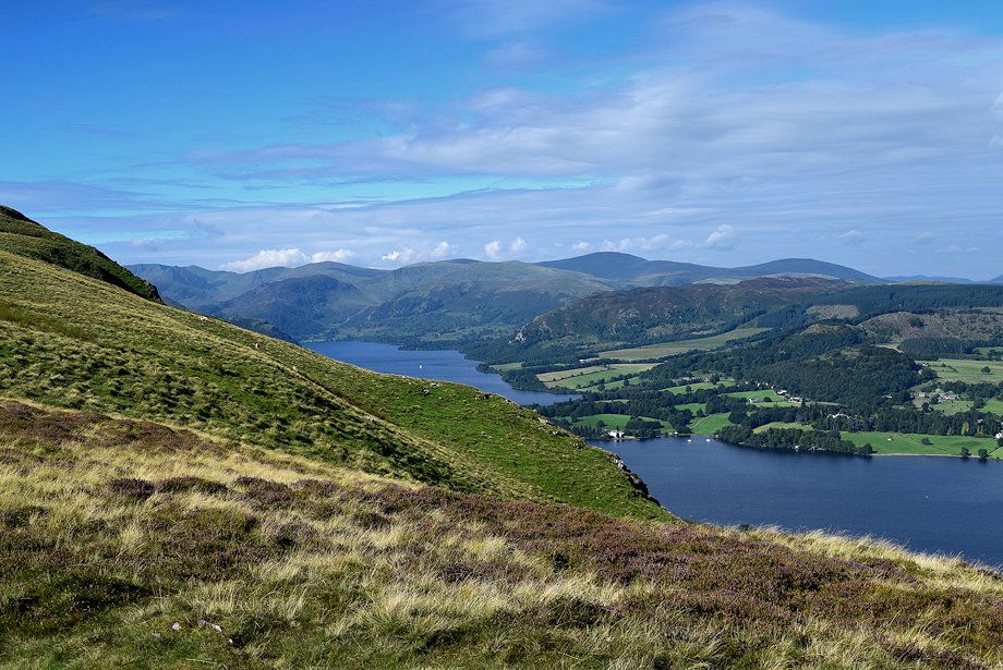
| Little Mell Fell across Ullswater |
 |
| On The Ullswater Way path which crosses the upper part of the Aik Beck ravine which is located just before the trees in the centre of the photo |
 |
| Looking back from the Ullswater Way path |
 |
| Crossing the upper part of the Aik Beck ravine |
 |
| On crossing the ravine a signpost indicates that the Ullwater Way path starts its long descent towards Howton on the shores of Ullswater |
 |
| The path to Arthur's Pike veers left from the signpost |
 |
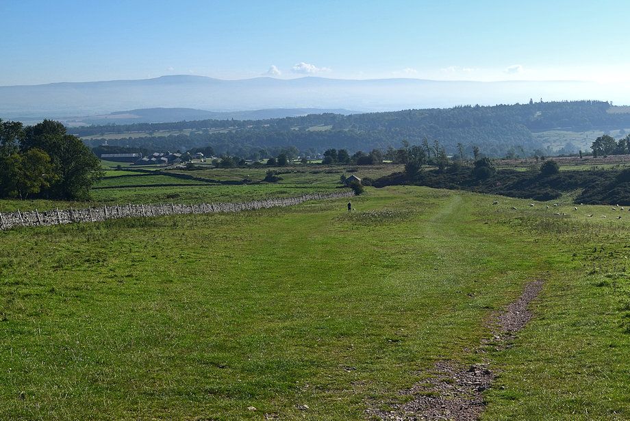
| Looking back to Heughscar Hill |
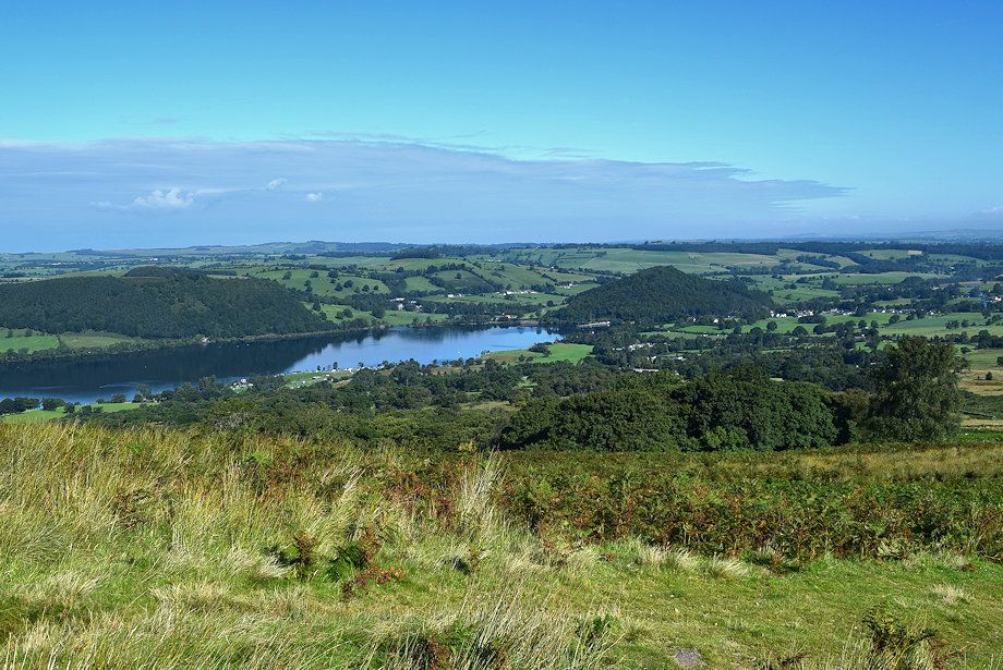 |
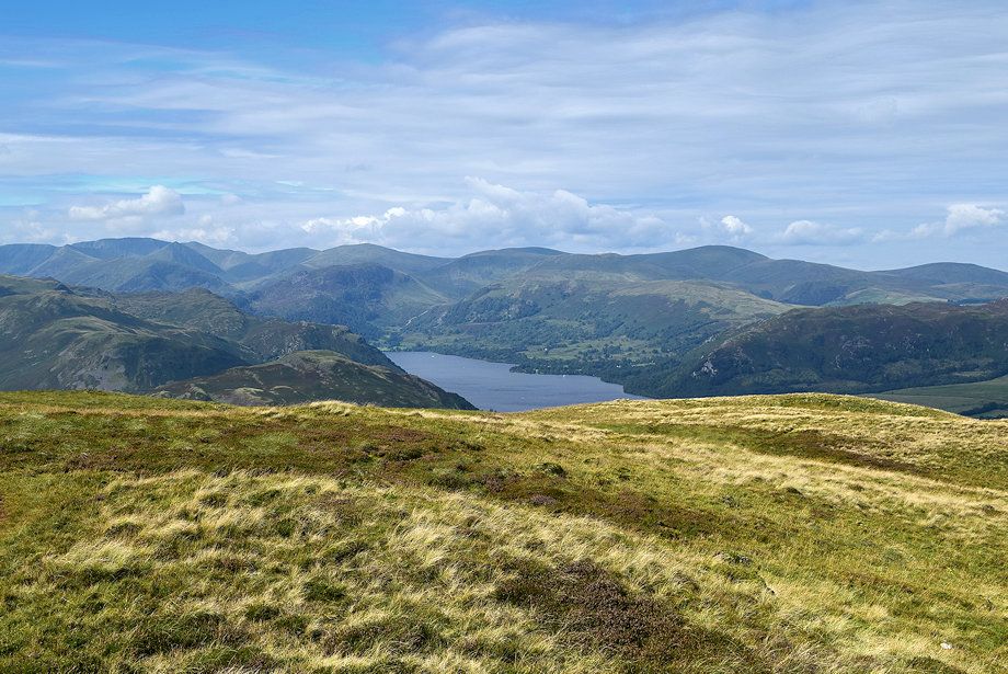
| The foot of Ullswater |
 |
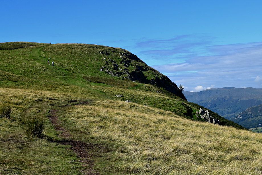
| After a climb of three hundred yards from the signpost the path splits. Take the right branch which passes over White Knott and continues along the escarpment to Arthur's Pike |
 |
| Looking over towards Little Mell Fell |
 |
| Approaching White Knott which is a fine viewpoint |
 |
| Looking back to Moor Divock from the climb to White Knott |
 |
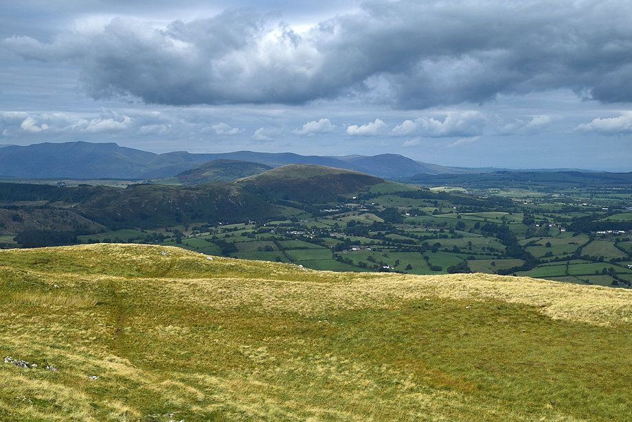
| looking over towards Blencathra and Little Mell Fell |
 |
| Great Dodd and Clough Head over Gowbarrow Fell from the climb to White Knott |
 |
| Moor Divock from the cairn on White Knott |
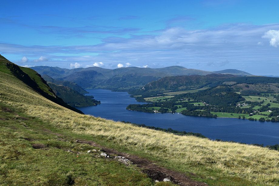 |
| The head of Ullswater from White Knott |
 |
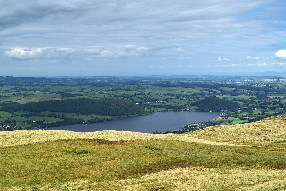
| The middle reaches of Ullswater from White Knott |
 |
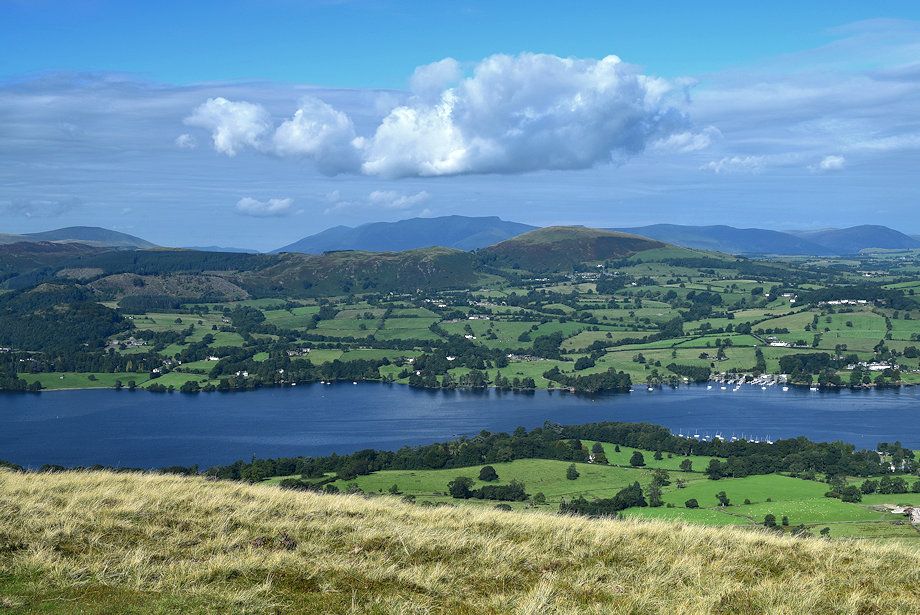
| The foot of Ullswater from White Knott |
 |
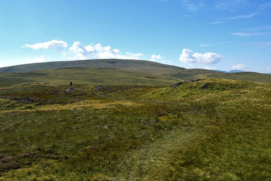
| From White Knott the path continues on above the Long Crag escarpment towards Loup Knott |
 |
| Climbing up to Loup Knott which provides another good viewpoint over Ullswater |
 |
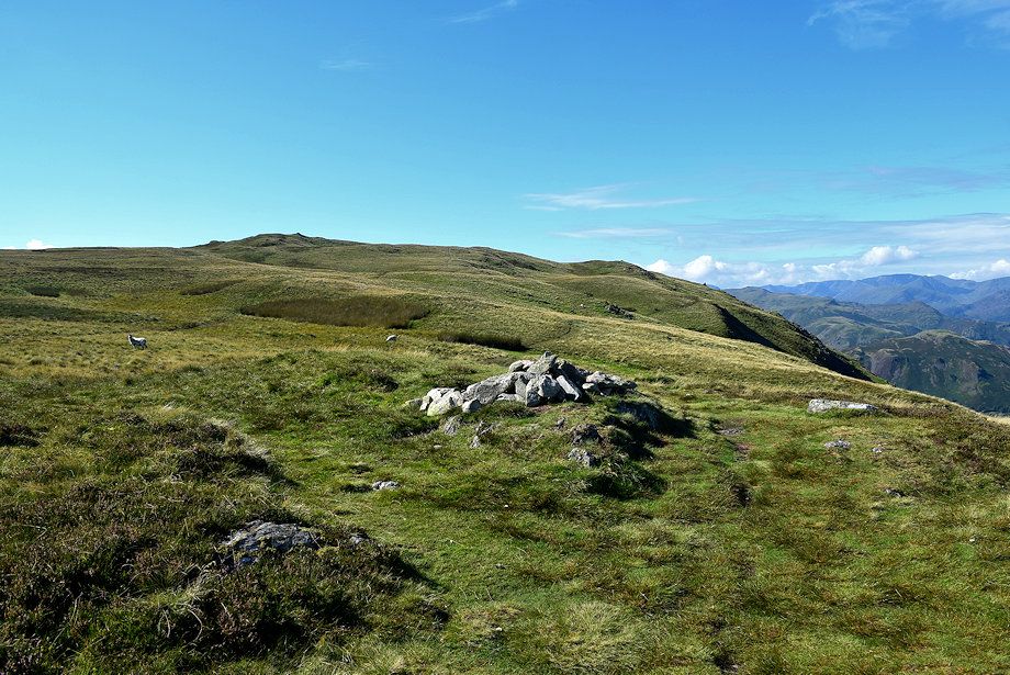
| Approaching the cairn on Loup Knott |
 |
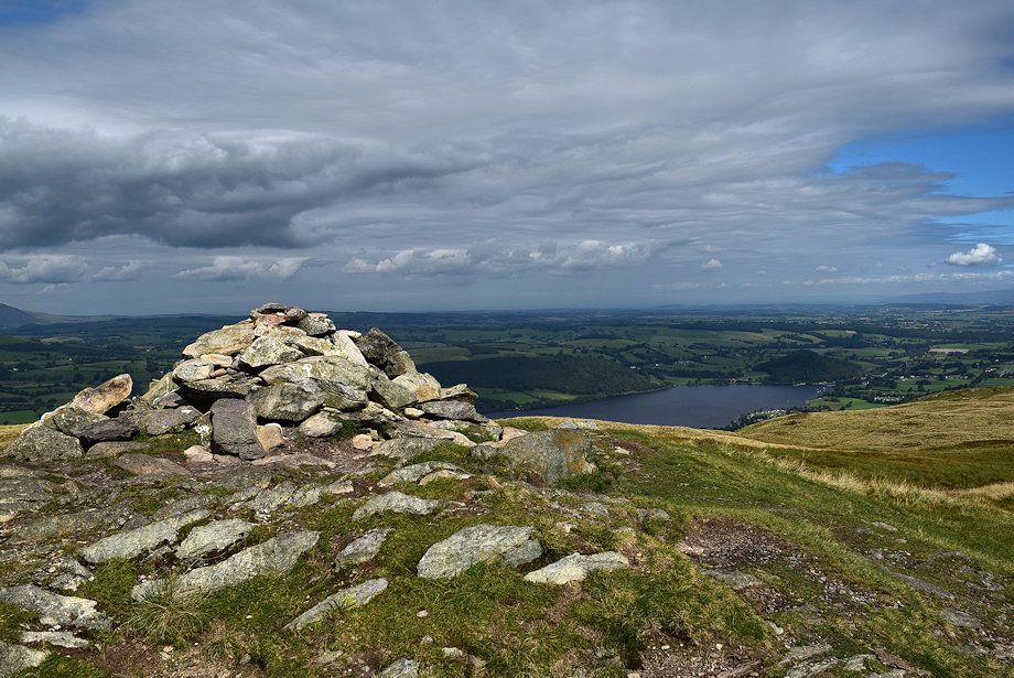
| The summit of Arthur's Pike from Loup Knott |
 |
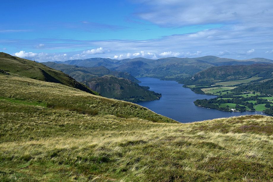
| The head of Ullswater from Loup Knott |
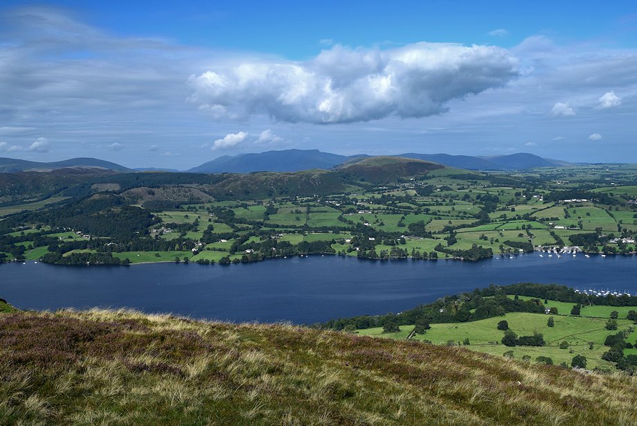 |
| The middle reaches of Ullswater from Loup Knott |
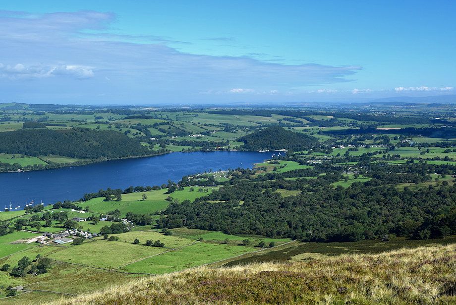 |
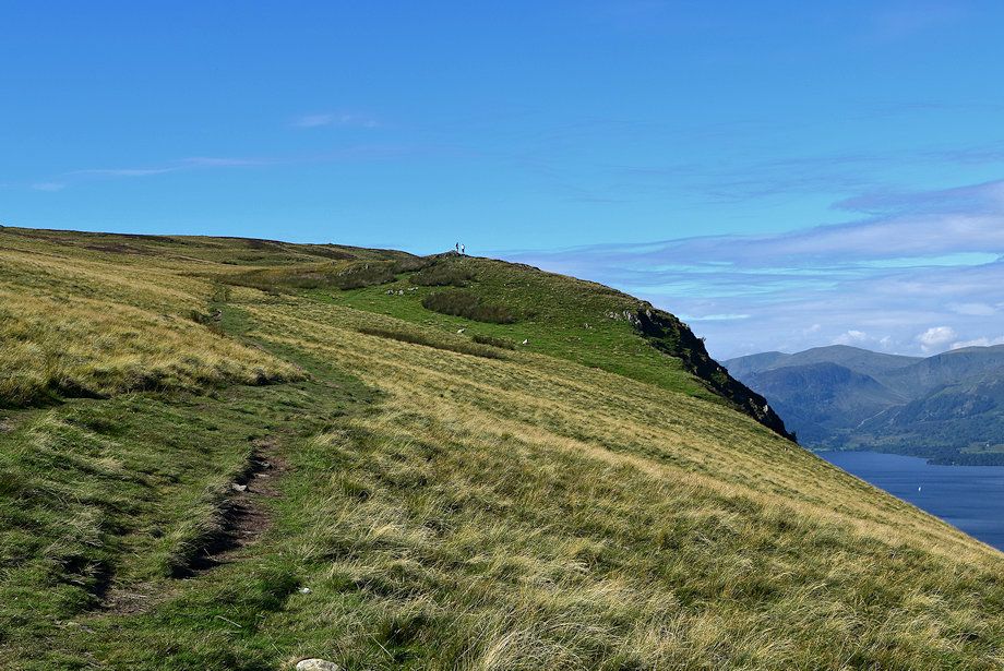
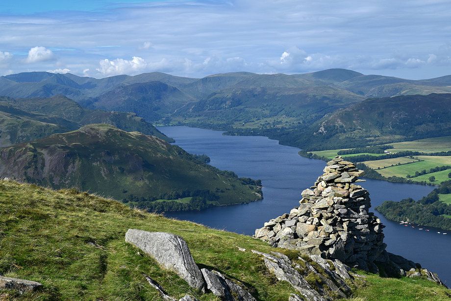
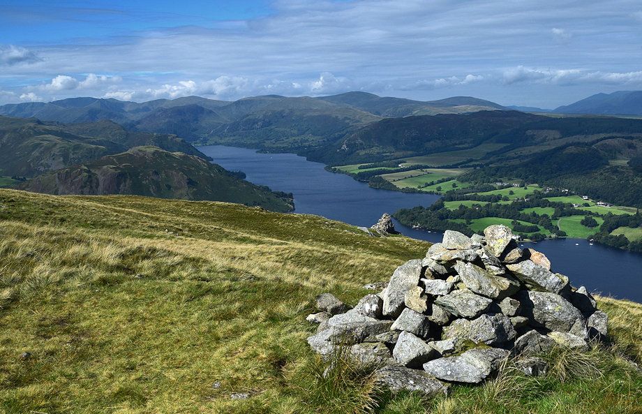
| Loup Knott is the finest viewpoint for the foot of Ullswater |
 |
| Looking back to White Knott from Loup Knott |
 |
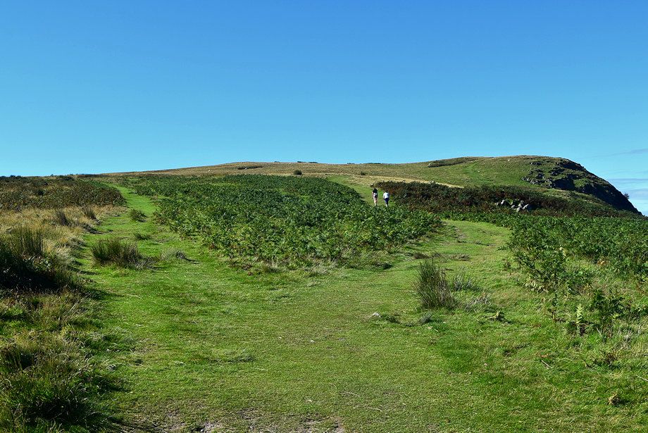
| Continuing on from Loup Knott ignore a path which veers off to the left and heads directly for the summit of Arthur's Pike |
 |
| The objective is to reach the beacon cairn above Whinny Crag which can be seen in the distance on the right |
 |
| The head of Ullswater from the path to the beacon cairn |
 |
| Passing the Greengeer Gutter notch in the crags above Ullswater |
 |
| Approaching the beacon cairn which can be seen in the centre of the photo |
 |
| The head of Ullswater from the beacon cairn |
 |
| From the beacon cairn a clear path leads up to another viewpoint cairn |
 |
| Place Fell and Hallin Fell from the climb to the viewpoint cairn |
 |
| Looking back to the beacon cairn |
 |
| Looking back along the escarpment path |
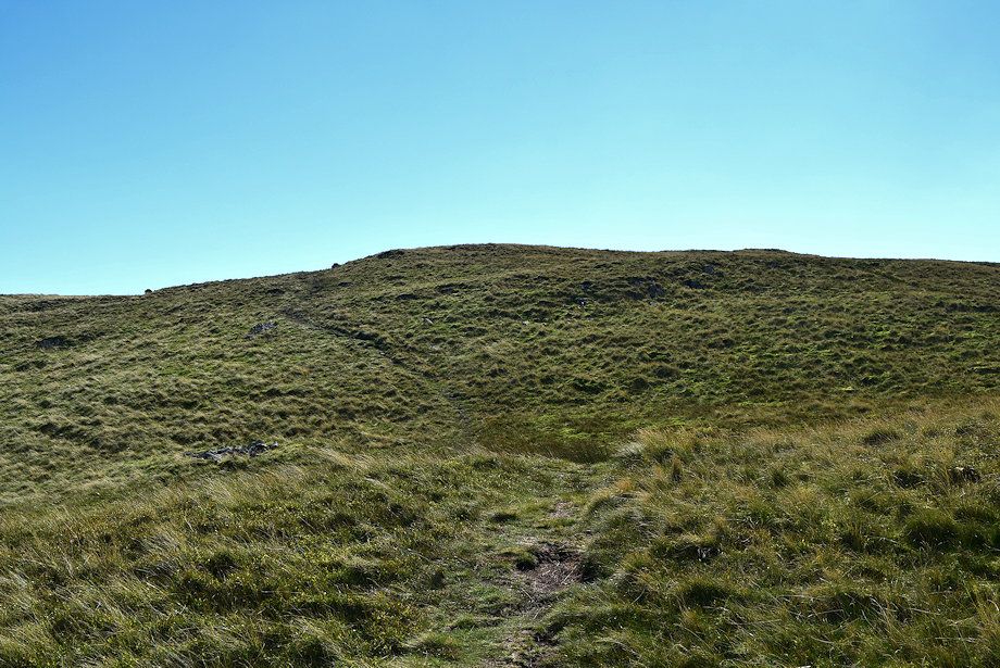 |
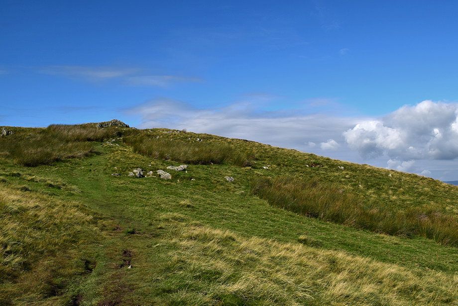
| Continue on south-east over grassy knolls to reach the summit of Arthur's Pike |
 |
| The summit of Arthur's Pike soon comes into view |
 |
| The summit cairn on Arthur's Pike |
 |
| Blencathra, Bannerdale Crags, Bowscale Fell, High Pike and Carrock Fell form the horizon, with Great Mell Fell and Little Mell Fell n the middle distance from the summit of Arthur's Pike |
 |
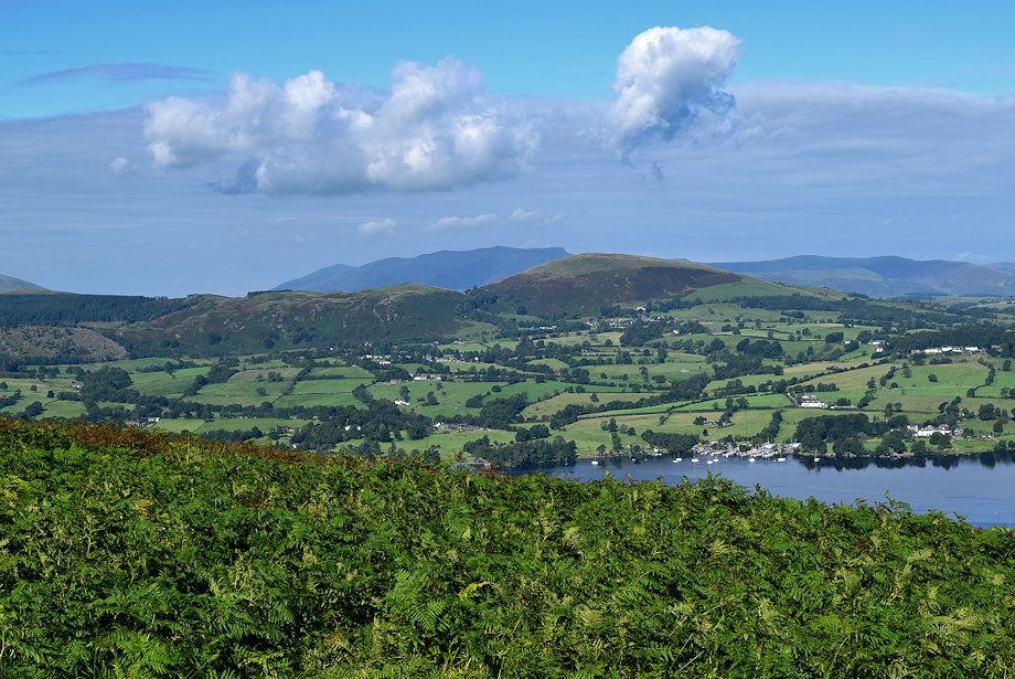
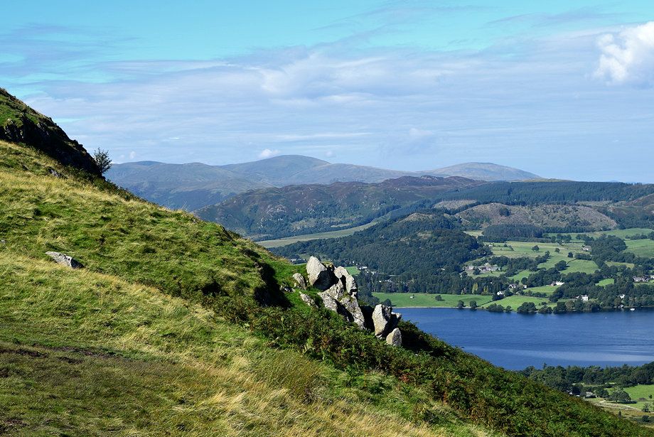
| The foot of Ullswater from the summit of Arthur's Pike |
 |
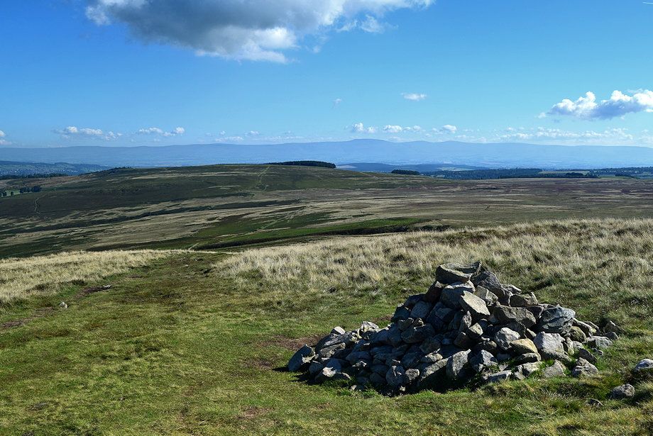
| Heughscar Hill and Moor Divock from the summit of Arthur's Pike |
 |
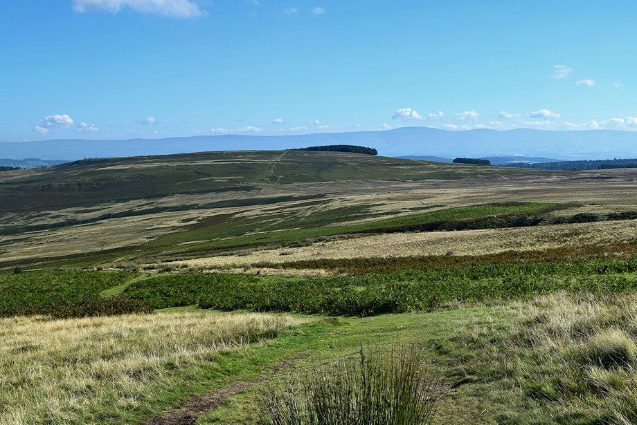
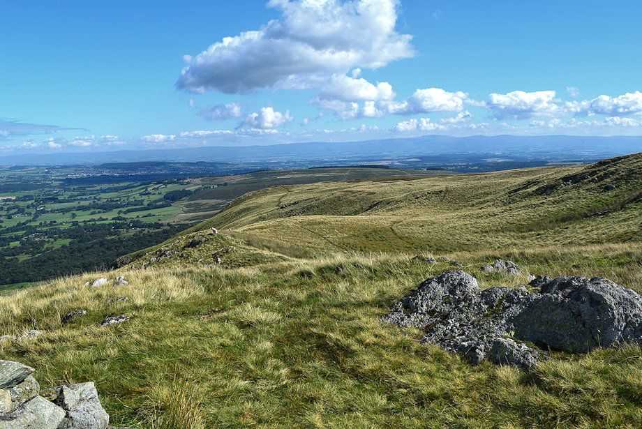
| The Pennines from the summit of Arthur's Pike |
 |
| The course of the High Street Roman Road can be seen beyond the ruined sheepfold |
 |
| A walker sets out from Arthur's Pike to join the Roman Road heading for Loadpot Hill |
 |
| Little Hart Crag, Dove Crag, Hart Crag, Fairfield St. Sunday Crag, Dollywagon Pike, Nethermost Pike, Helvellyn, Catstycam, and White Side form the skyline. Bonscale Pike is in the near distance on the left with Place Fell in the middle distance in the centre |
 |
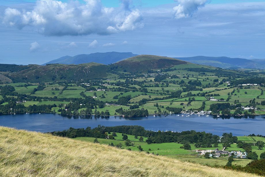
| The head of Ullswater from the summit of Arthur's Pike |
 |
| Skiddaw and Blencathra from the summit of Arthur's Pike |