 |
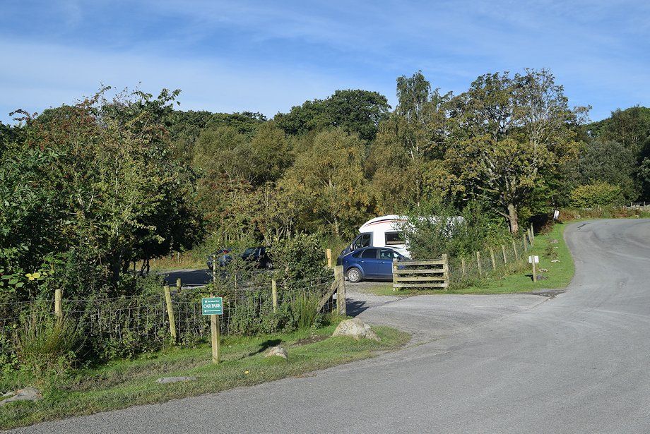
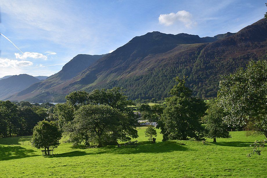
| The National Trust car park on the outskirts of Buttermere is the starting point for this walk |
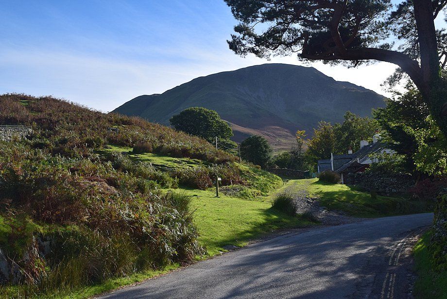 |
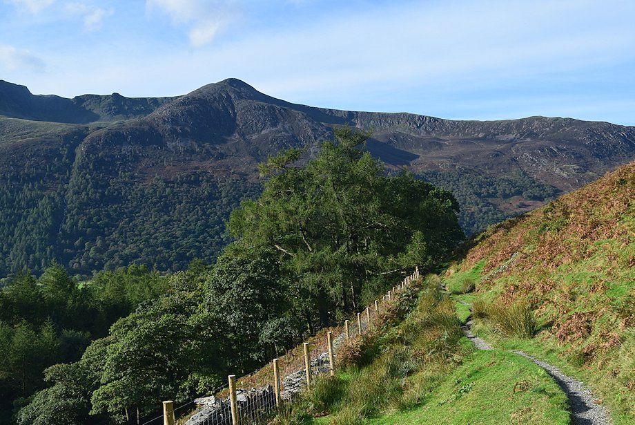
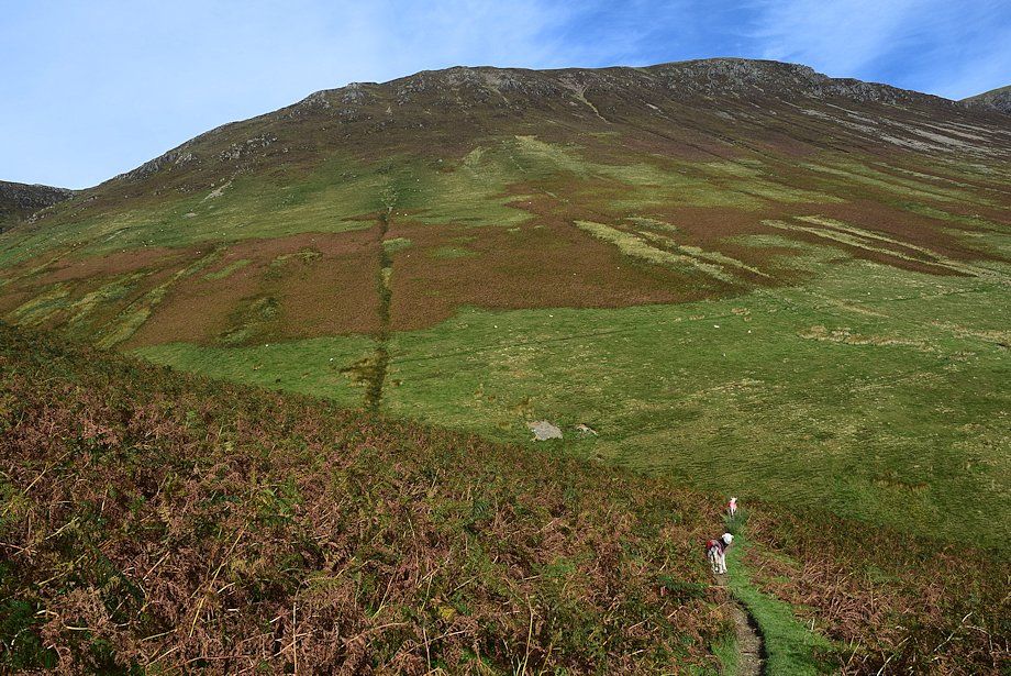
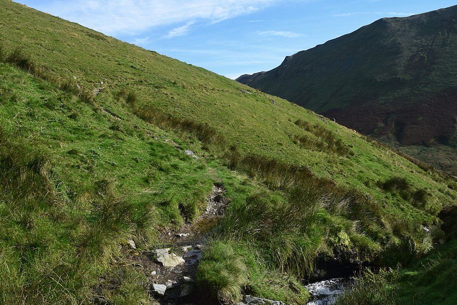
| Almost opposite the car park a signpost indicates the start of a path which passes behind the cottages of Crag Houses to enter the valley of Sail Beck |
 |
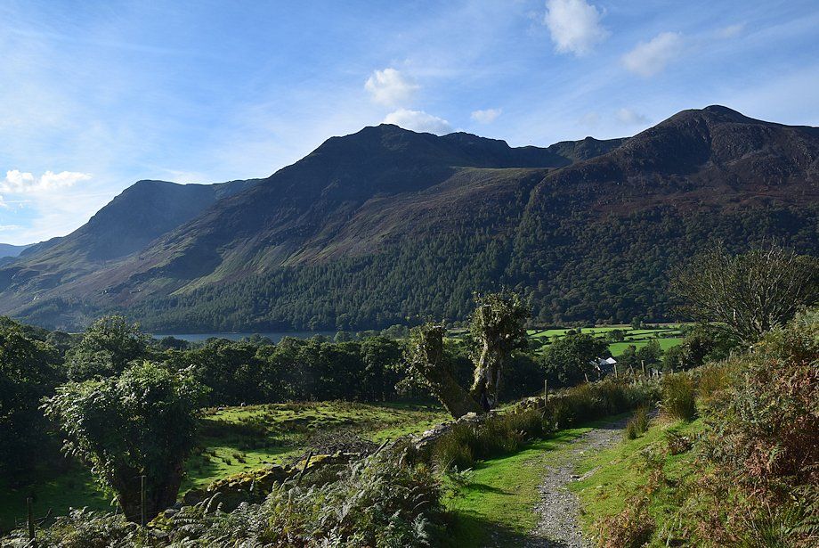
| Looking back to Crag Houses from the path |
 |
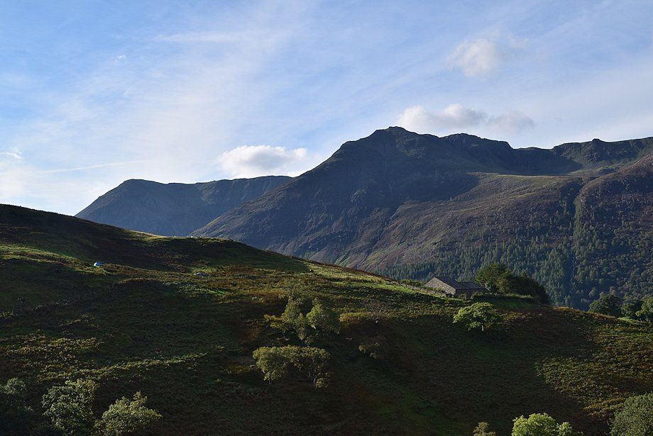
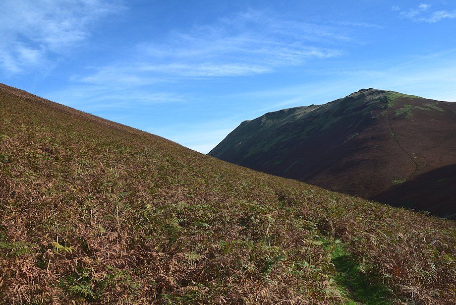
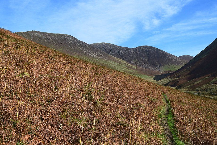
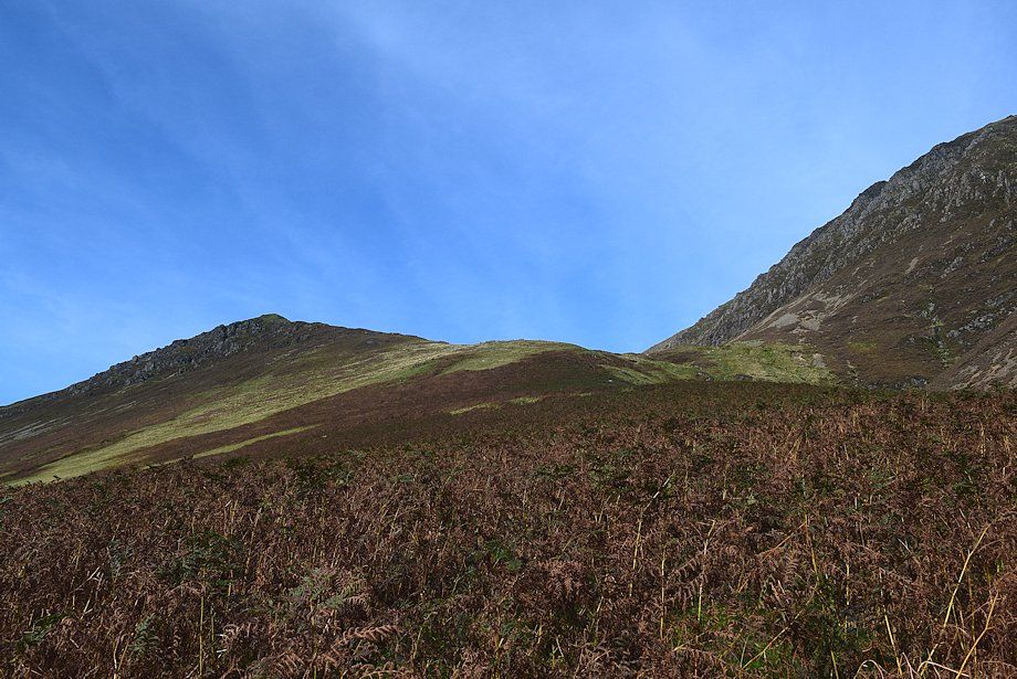
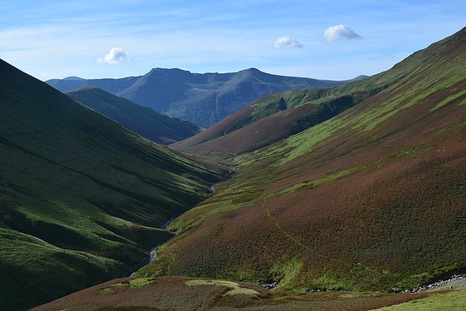
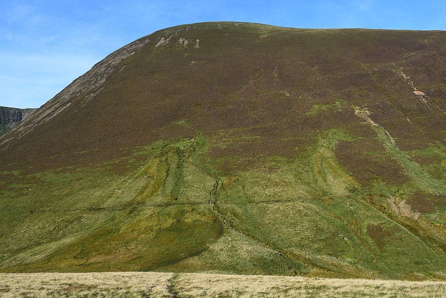
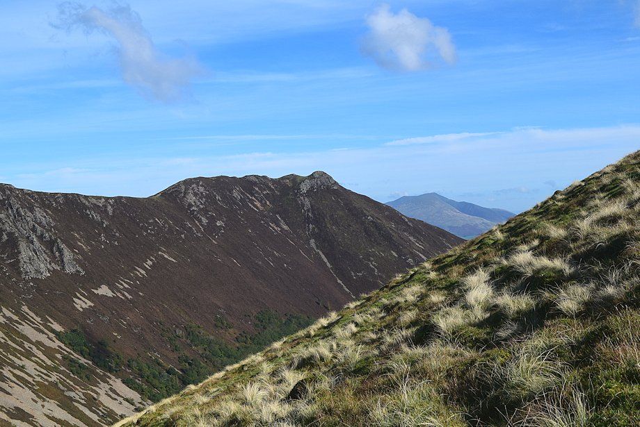
| Looking across to High Stile and Red Pike |
 |
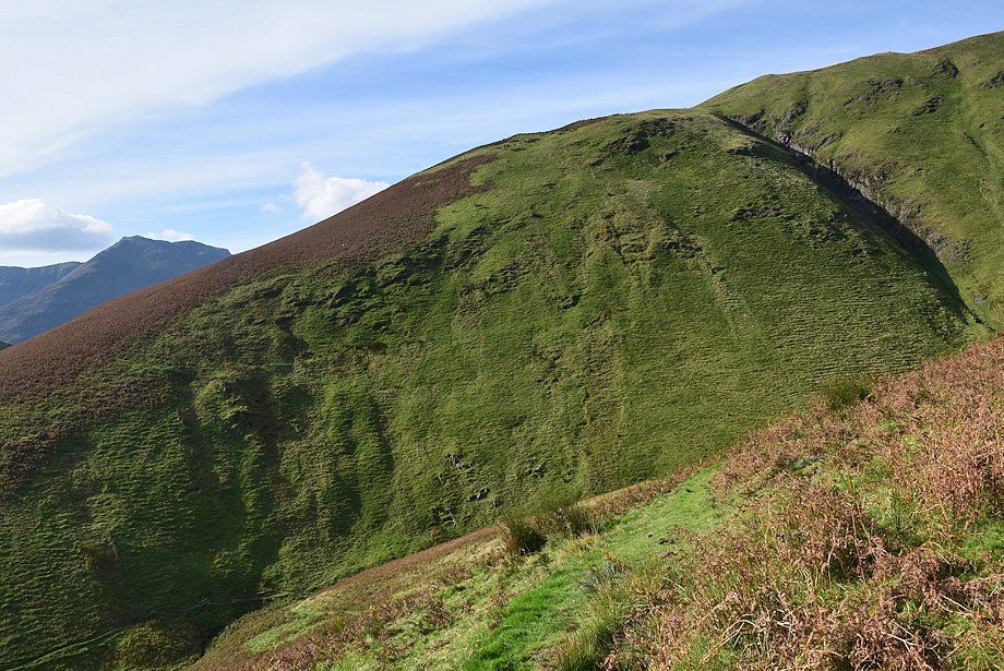
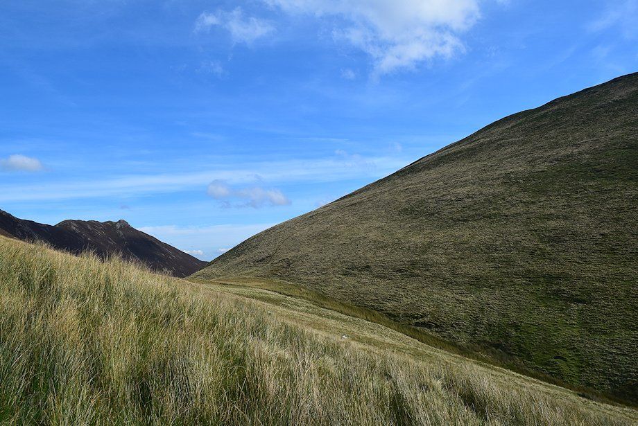
| Whiteless Breast and Knott Rigg |
 |
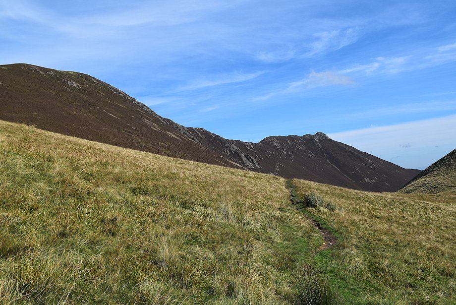
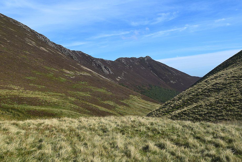
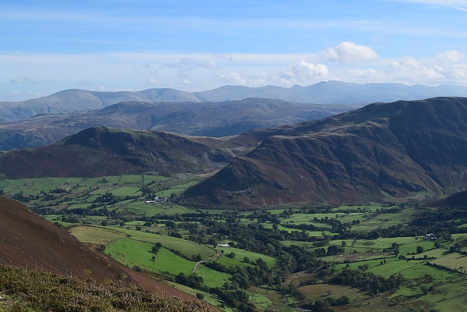
| Looking over to High Crag and High Stile with Haystacks on the left |
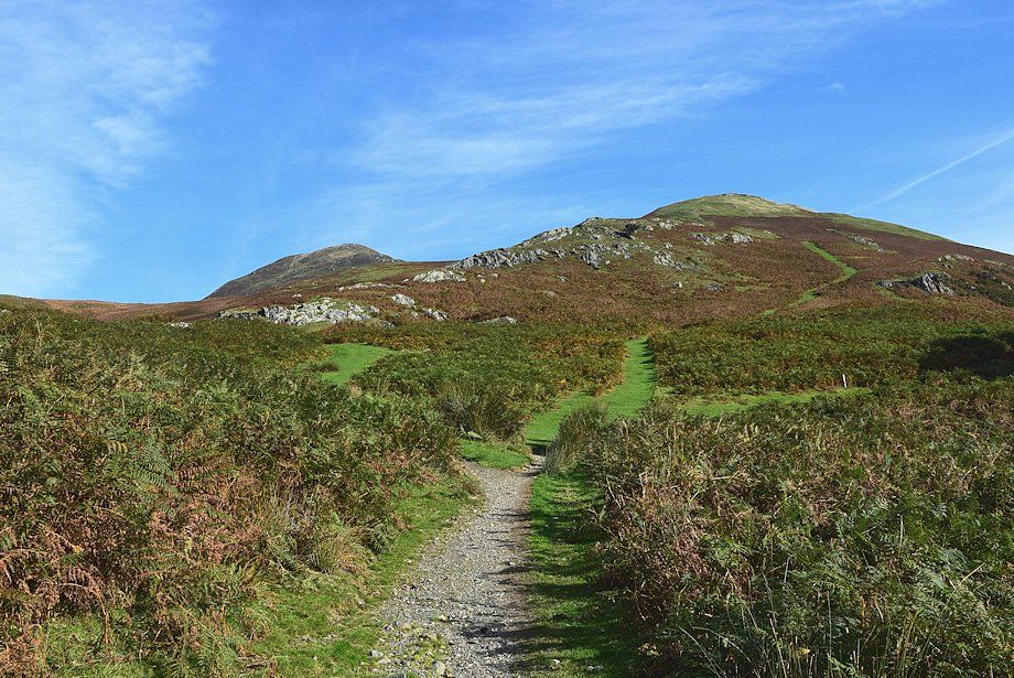 |
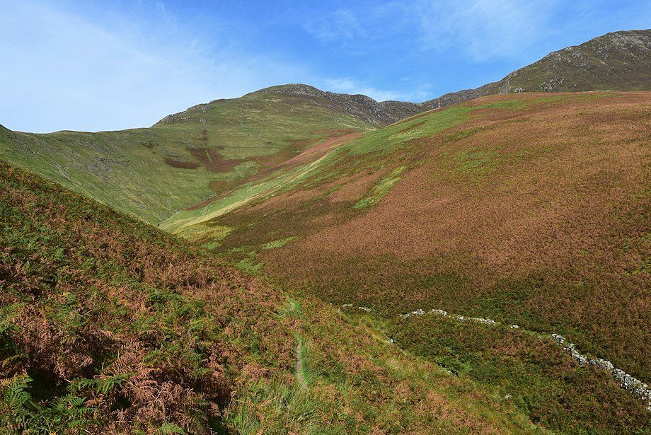
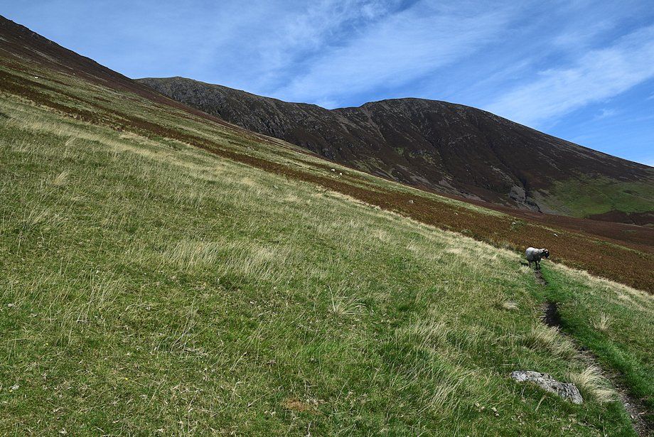
| A quarter of a mile from Crag Houses the path splits. The one on the right continues on into the valley, the other two climb over Whiteless Breast towards the summit of Whiteless Pike |
 |
| Looking back to High Crag, High Stile and Red Pike from the point where the path splits |
 |
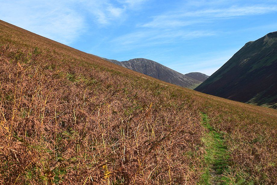
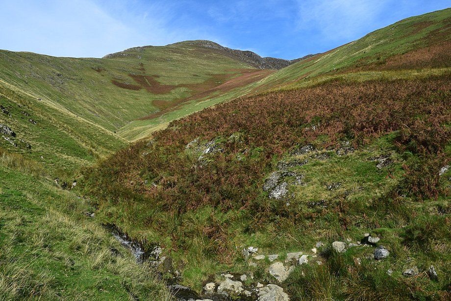
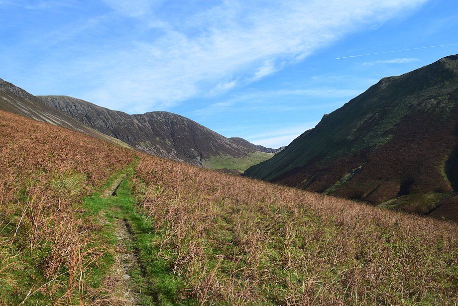
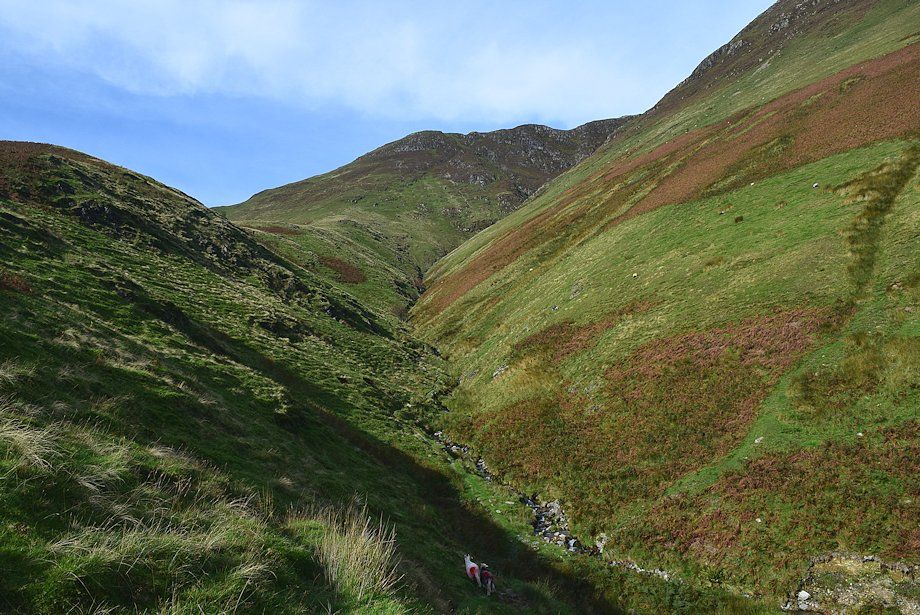
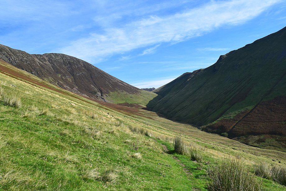
| Continuing into the valley of Sail Beck with Knott Rigg straight ahead |
 |
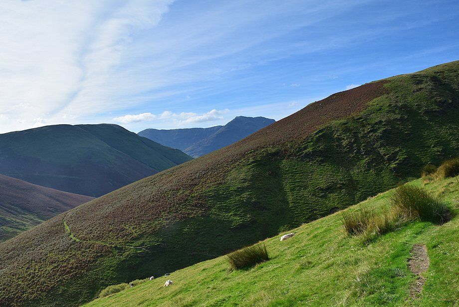
| Looking back to Red Pike and Lingcomb Edge |
 |
| Looking over to High Crag and High Stile |
 |
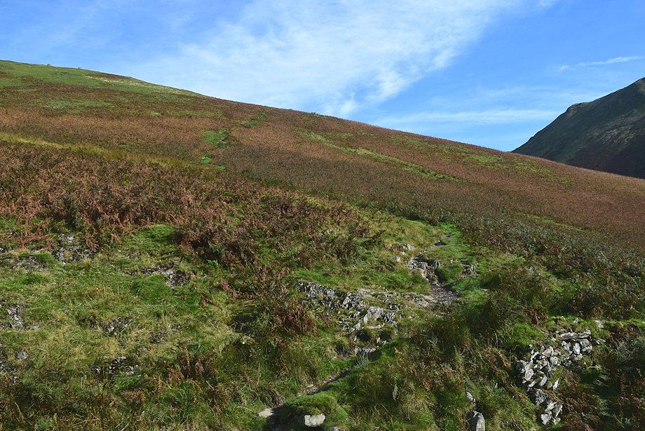
| One mile from Crag Houses the path divides again. The right fork descends to Sail Beck and onwards to a sheepfold beyond which it fades and almost disappears. Follow the left one which offers finer views as it climbs across the eastern slopes of Whiteless Breast |
 |
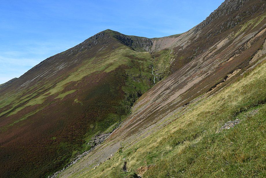
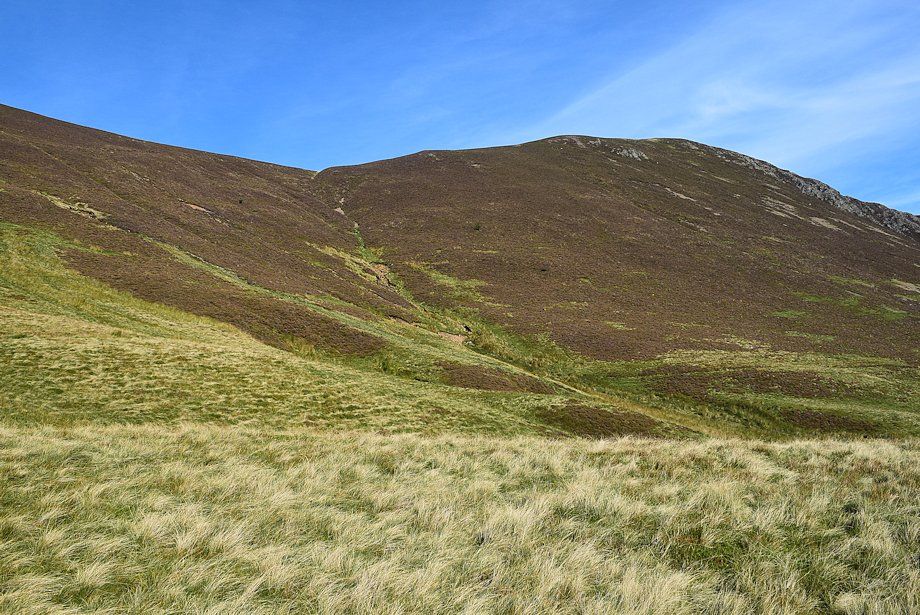
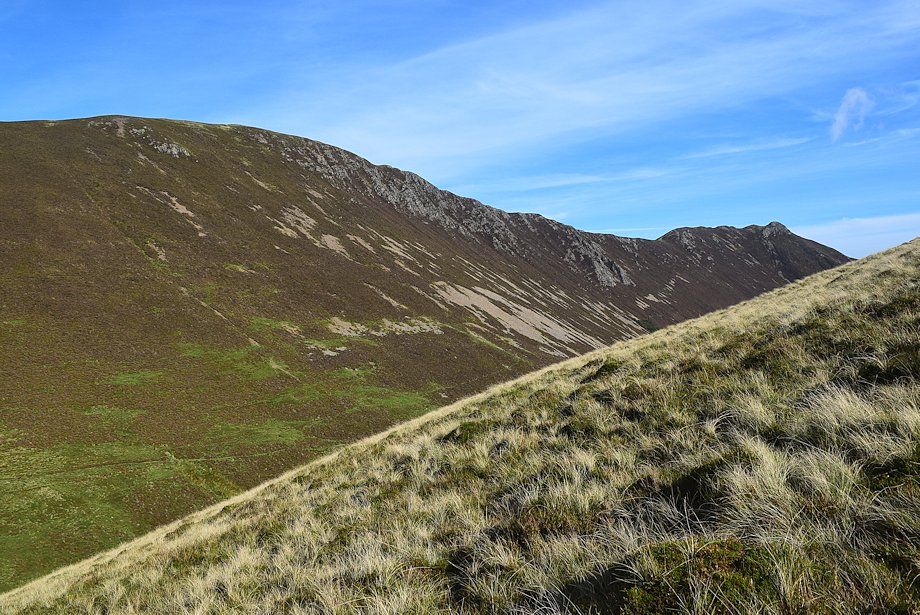
| Looking back to High Stile and Red Pike from the upper path on Whiteless Breast, the lower path can be seen following the wall |
 |
| Knott Rigg from the upper path on Whiteless Breast |
 |
| Looking over to Newlands Hause |
 |
| Sail and Scar Crags come into view |
 |
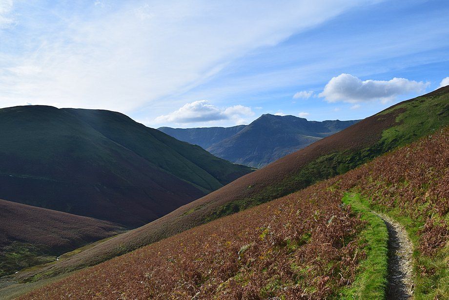
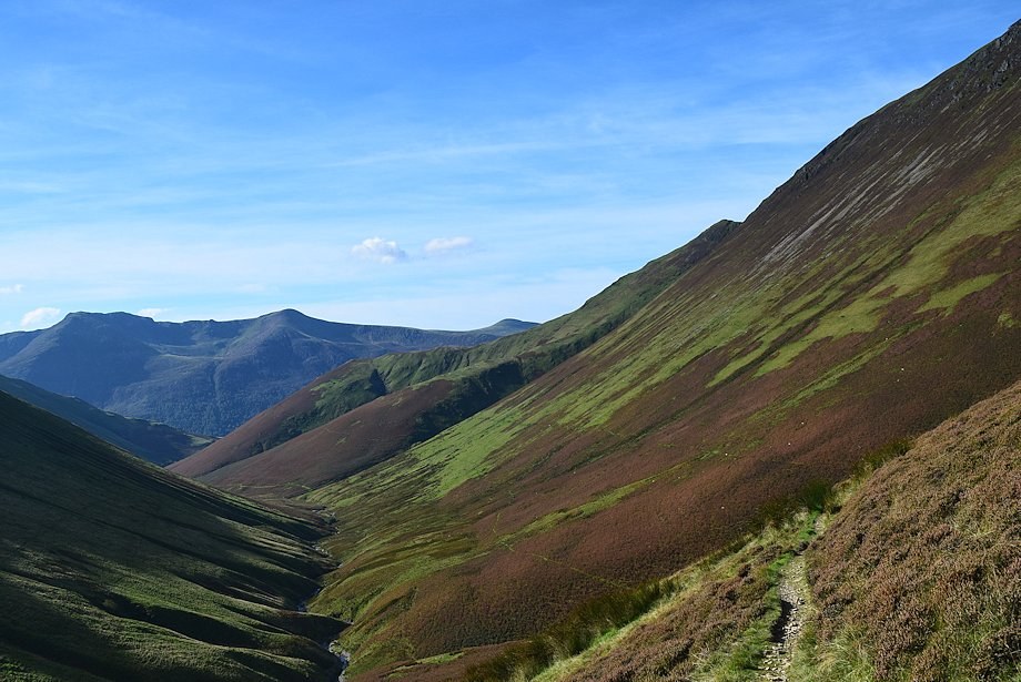
| Looking back to High Stile and Red Pike from the eastern slopes of Whiteless Breast |
 |
| A little further along the track, Wandope and Eel Crag come into view |
 |
| The path turns into a nameless re-entrant gill |
 |
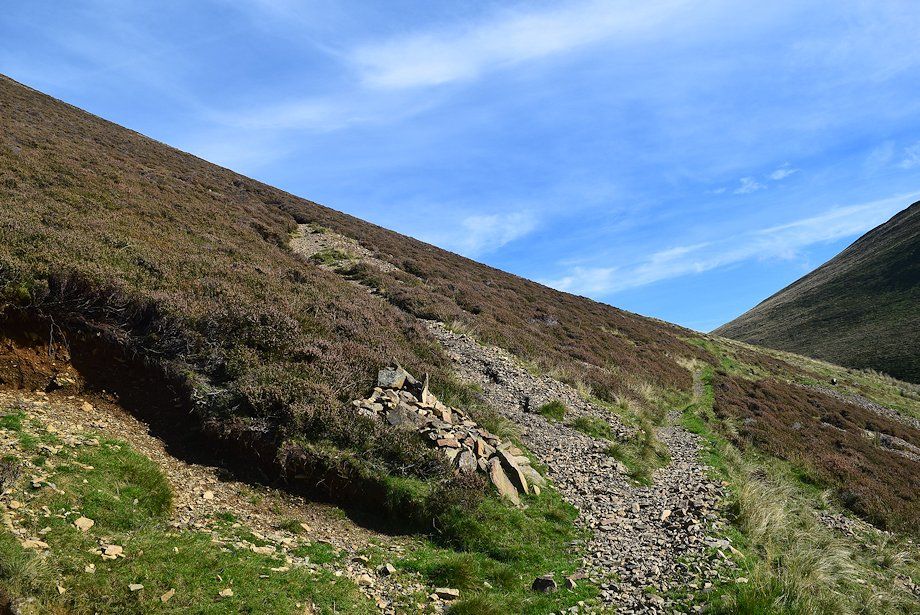
| The gill is only followed for about 200 yards to a point where the path crosses the stream and switches back to climb out of the gill via the steep southern slopes of Bleak Rigg |
 |
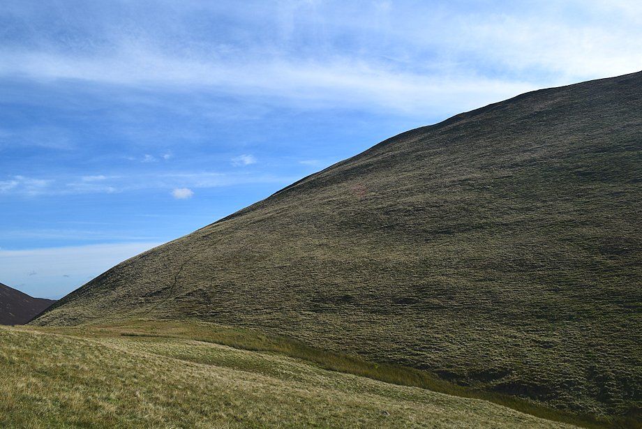
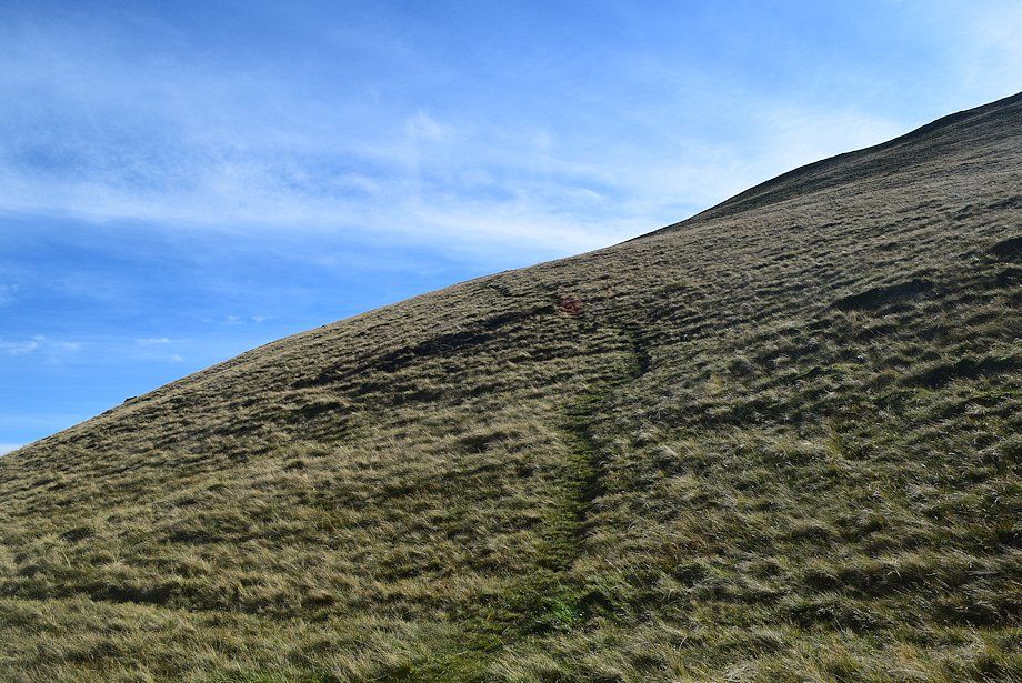
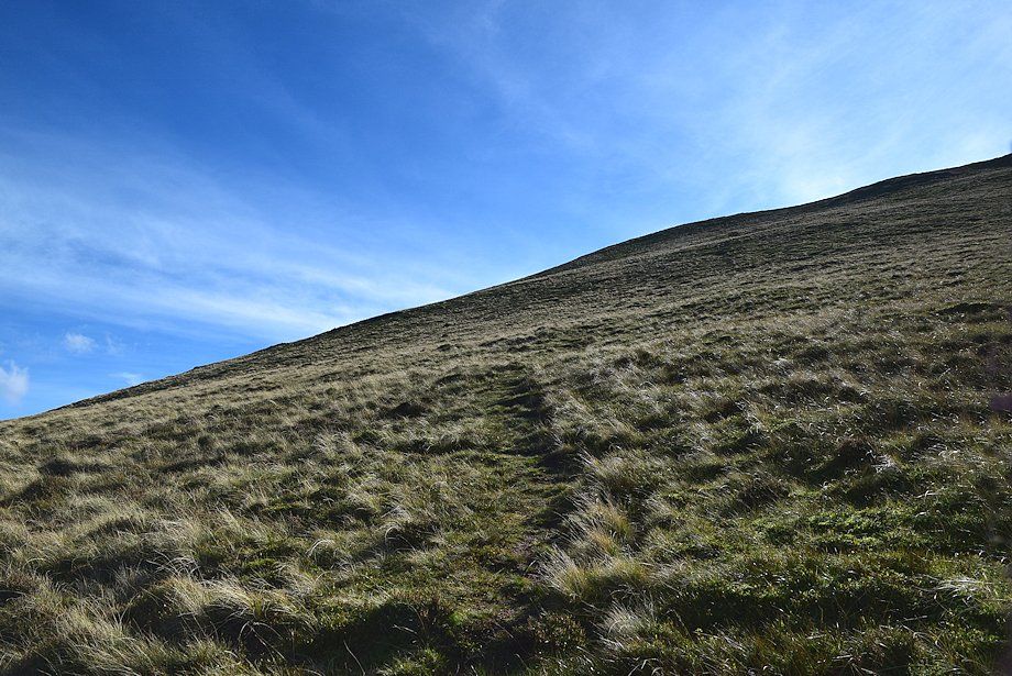
| The path leading up to the east slopes of Bleak Rigg |
 |
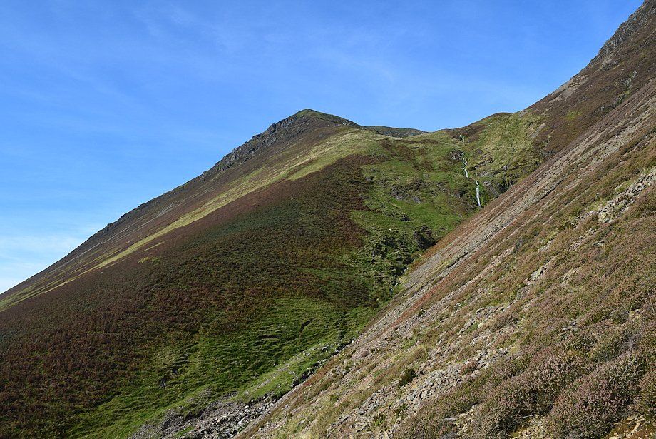
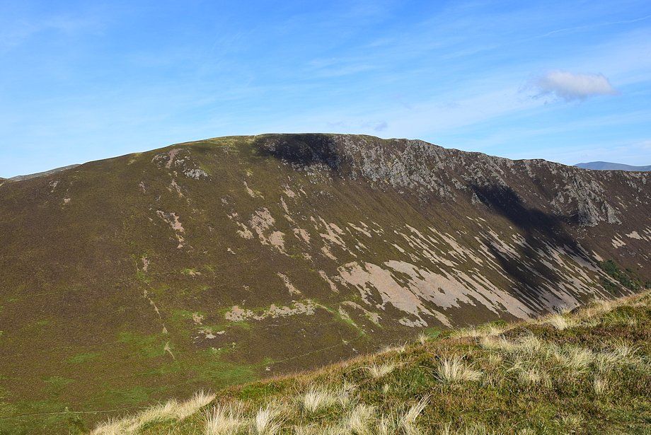
| High Stile across the east ridge of Whiteless Breast |
 |
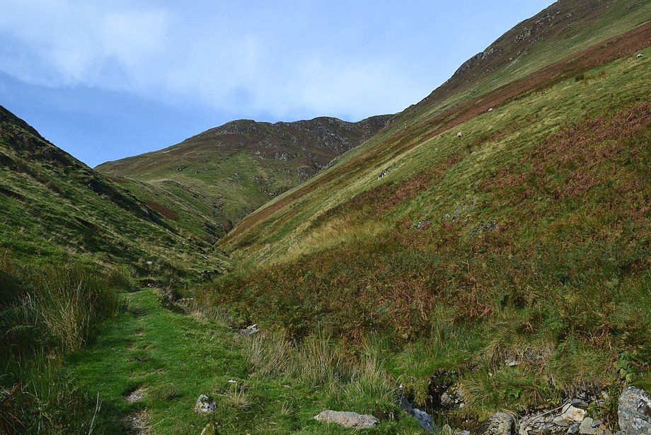
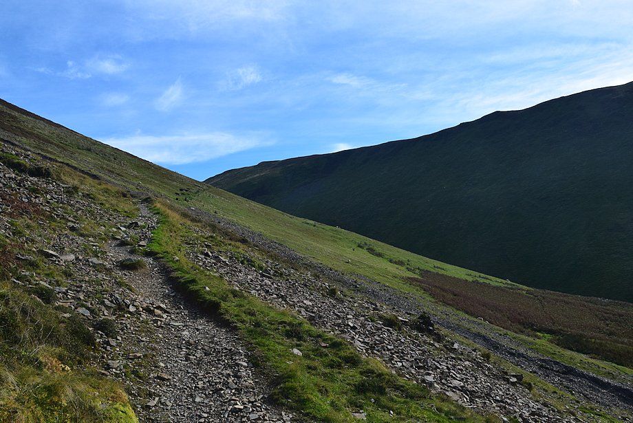
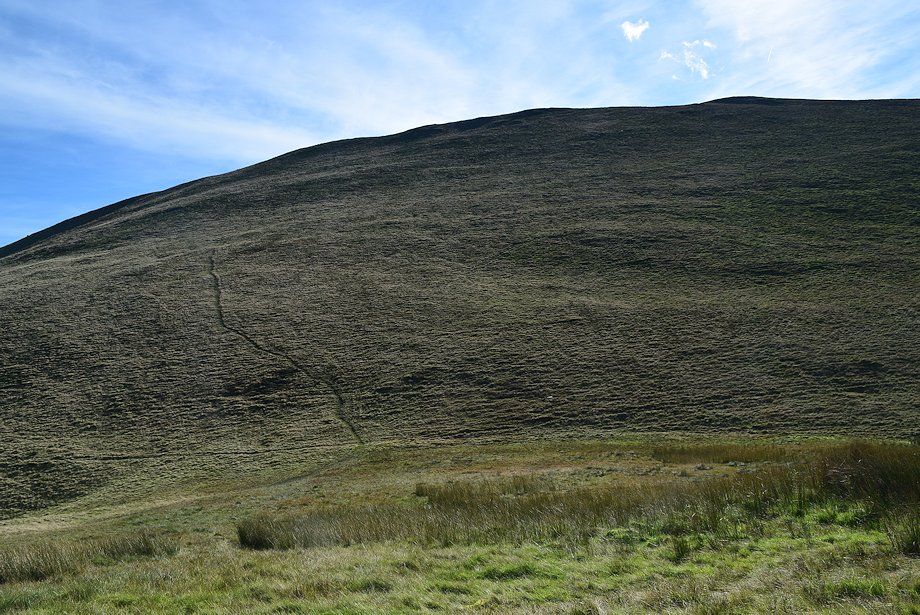
| The path across the eastern slope of Bleak Rigg |
 |
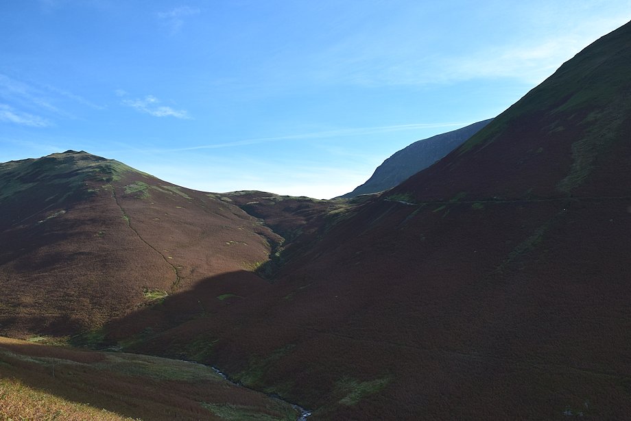
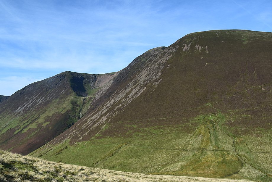
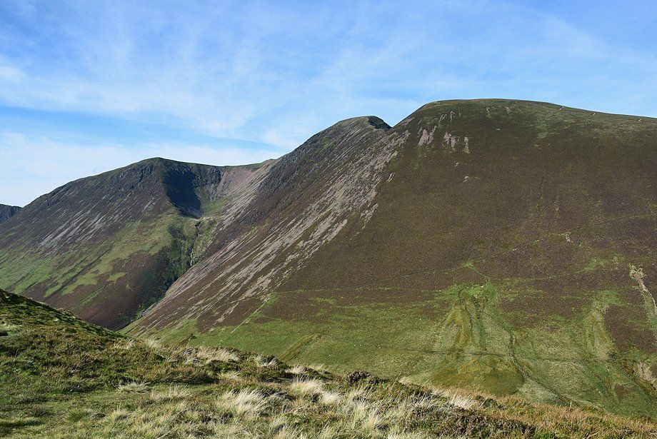
| Looking back from Bleak Rigg to High Snockrigg, High Crag and High Stile |
 |
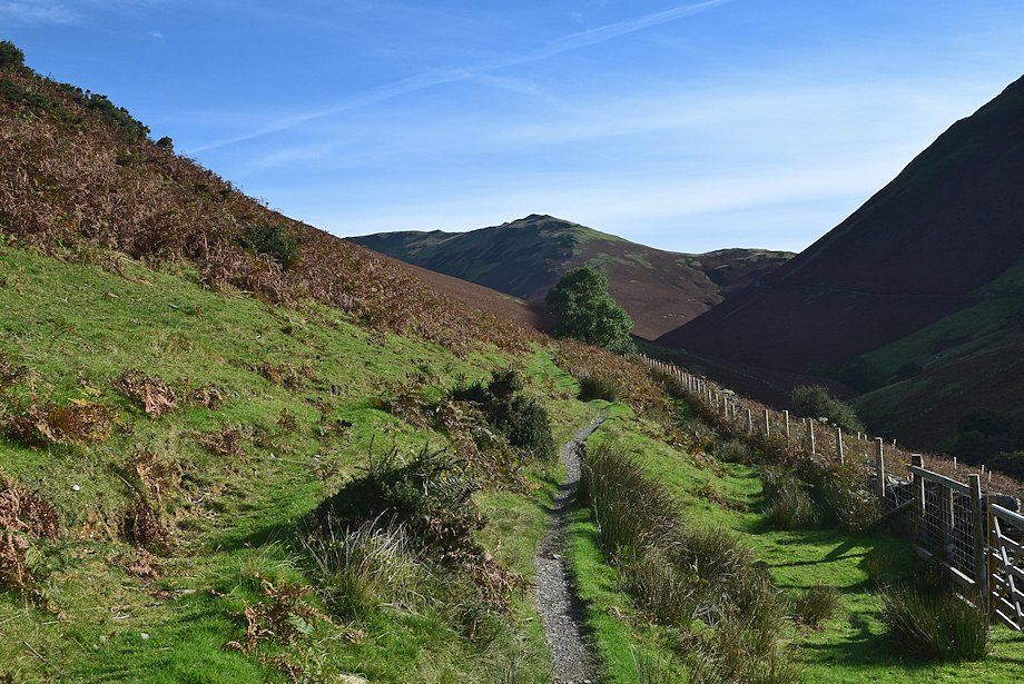
| The path gradually descends as it nears the re-entrant valley of Third Gill |
 |
| The path descending into Third Gill. Its continuation can be seen in the centre of the photo rising out of the gill to cross the south-eastern slope of Wandope |
 |
| Third Gill |
 |
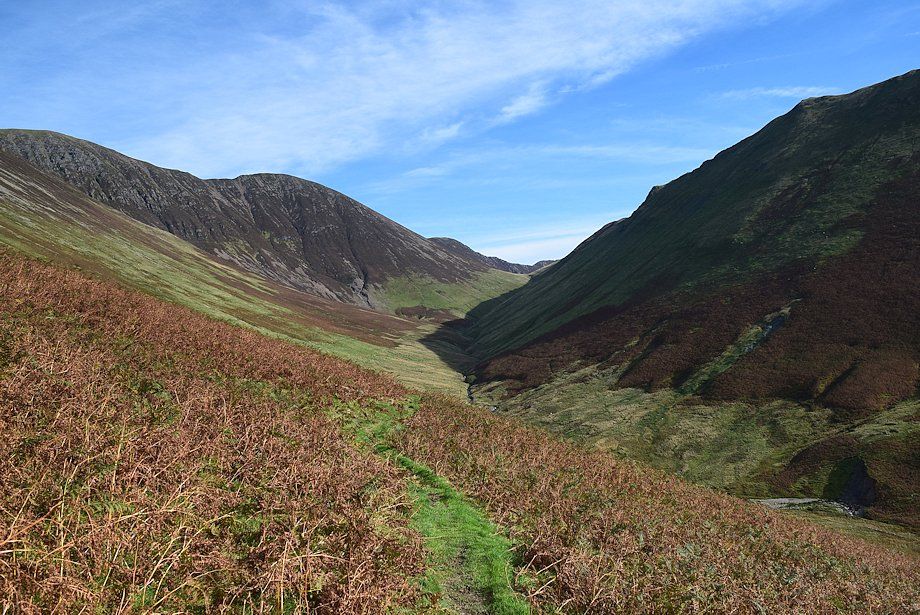
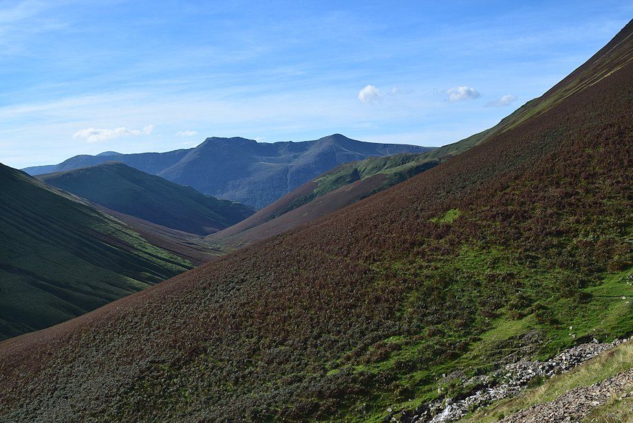
| The head of the Sail Beck valley from Third Gill |
 |
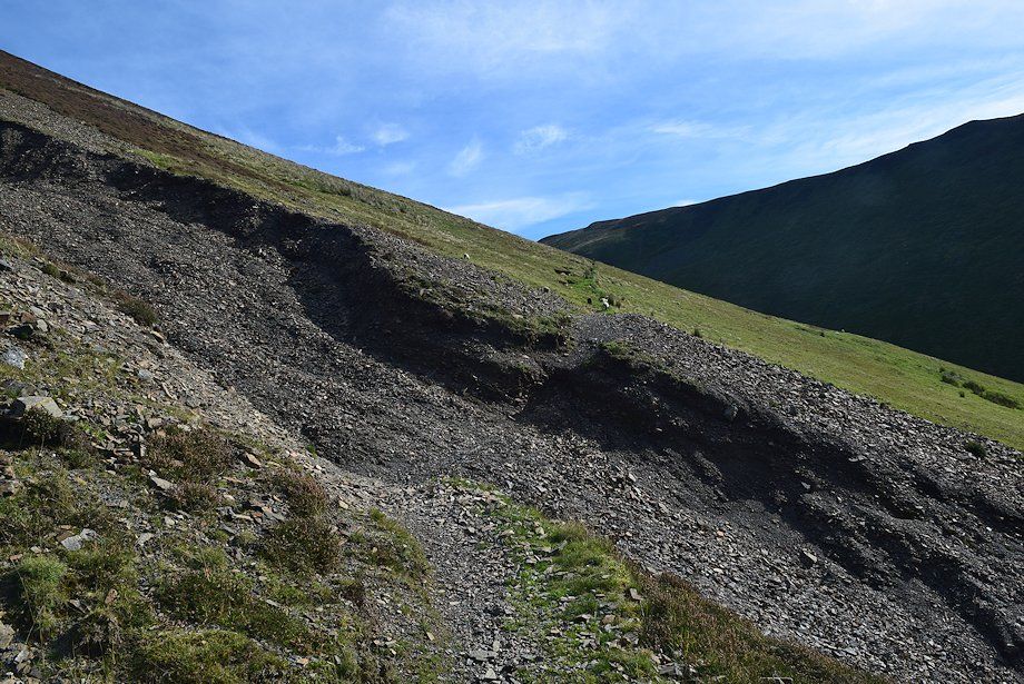
| The bed of Third Gill is only followed for about 180 yards before the path switches back and climbs out of the gill |
 |
| The path leading out of Third Gill |
 |
| Looking back across Third Gill from the south-eastern slopes of Wandope. The path entering the gill can be seen on the left |
 |
| The distinctive summit ridge of Causey Pike appears over the col between Sail and Ard Crags |
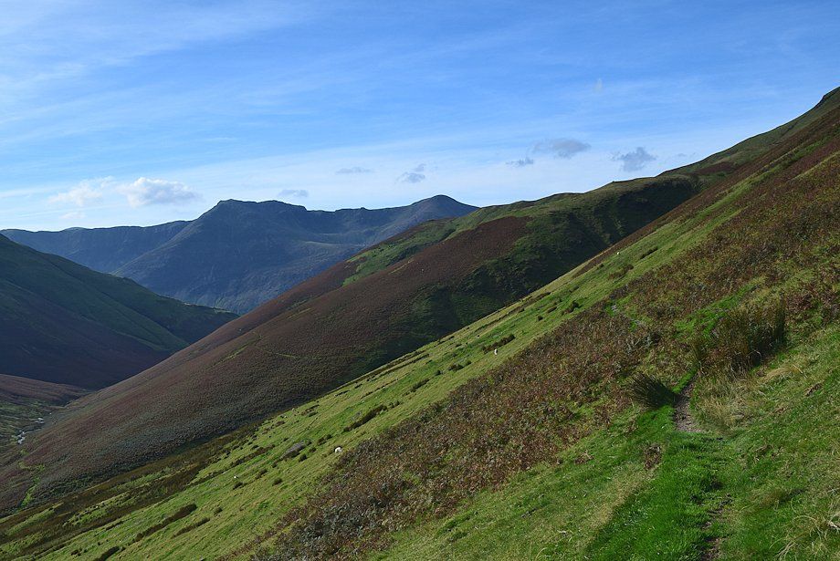 |
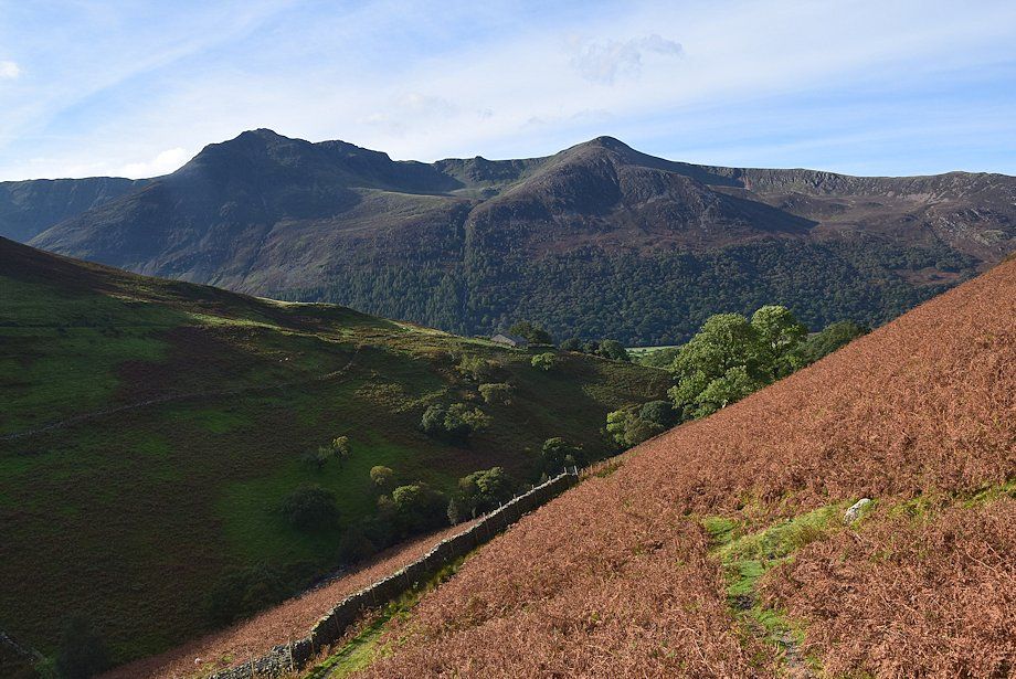
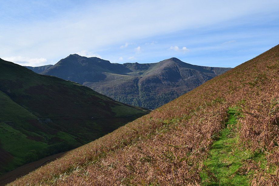
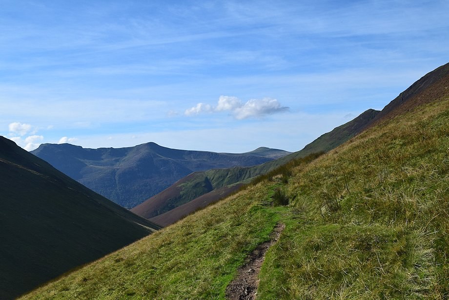
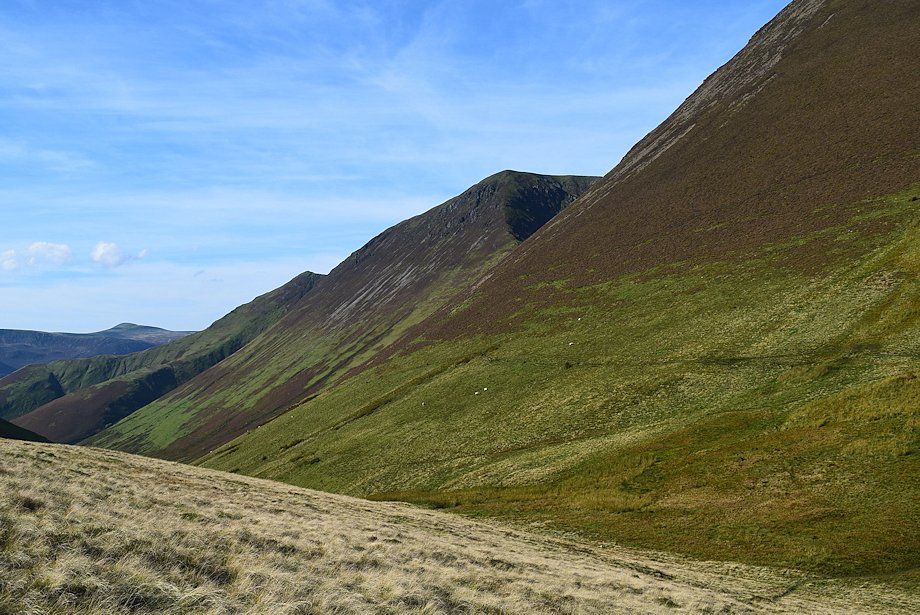
| Looking back to High Crag and Red Pike |
 |
| Eel Crag and Sail as the path approaches Addacomb Beck |
 |
| Looking up to the east ridge of Wandope on the left and Scar Crag on the right flanking the lip of Addacomb Hole |
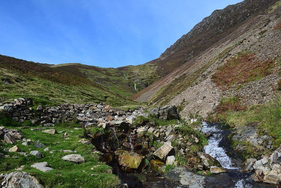 |
| Addacomb Beck which is easily forded below an old sheepfold |
 |
| Continuing on past Addacomb Beck the path traverses across a scree slope |
 |
| Looking back to the east ridge of Wandope from the scree slope above Addacomb Beck |
 |
| The summit of Pillar appears on the left skyline over the ridge between High Crag and High Stile |
 |
| The path crosses a deep erosion gully on the scree slope then continues more easily on the other side of the gully over grass and heather to the col between Sail and Ard Crags at the head of the valley |
 |
| Looking back to Addacomb Hole and the east ridge of Wandope |
 |
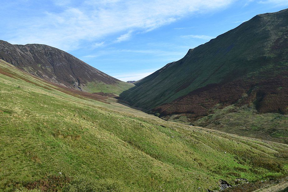
| Looking back along the valley of Sail Beck |
 |
| A marker cairn indicates the start of the path to Sail Pass, the path to the col continues straight ahead |
 |
| Looking back from the Sail Pass marker cairn |
 |
| Approaching the col at the head of the valley |
 |
| Scar Crags and Causey Pike over the col. The path continues on to descend into the valley of Rigg Beck |
 |
| Ard Crags from the col |
 |
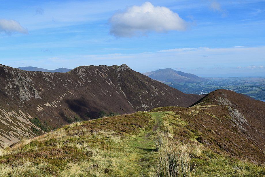
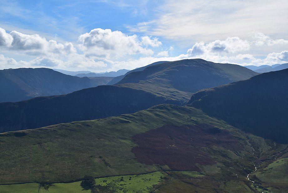
| Looking back from the col to High Stile, Red Pike, Starling Dodd and Whiteless Pike |
 |
| The path leading up to the summit ridge of Ard Crags from the col |
 |
| Causey Pike from the col |
 |
| Sail Pass and Scar Crags from the col |
 |
| Starting the climb of the north-western flank of Ard Crags |
 |
| Looking across to Starling Dodd, Whiteless Pike and Wandope |
 |
| Looking down onto the col, the path to Sail Pass can be seen rising diagonally across the east flank of Sail |
 |
| Scar Crags and Causey Pike from the north-western flank of Ard Crags |
 |
| Higher on the north-western flank the path veers to the right to climb directly to the summit |
 |
| Wandope, Eel Crag and Sail from the climb to the summit |
 |
| Causey Pike and Blencathra from the climb to the summit |
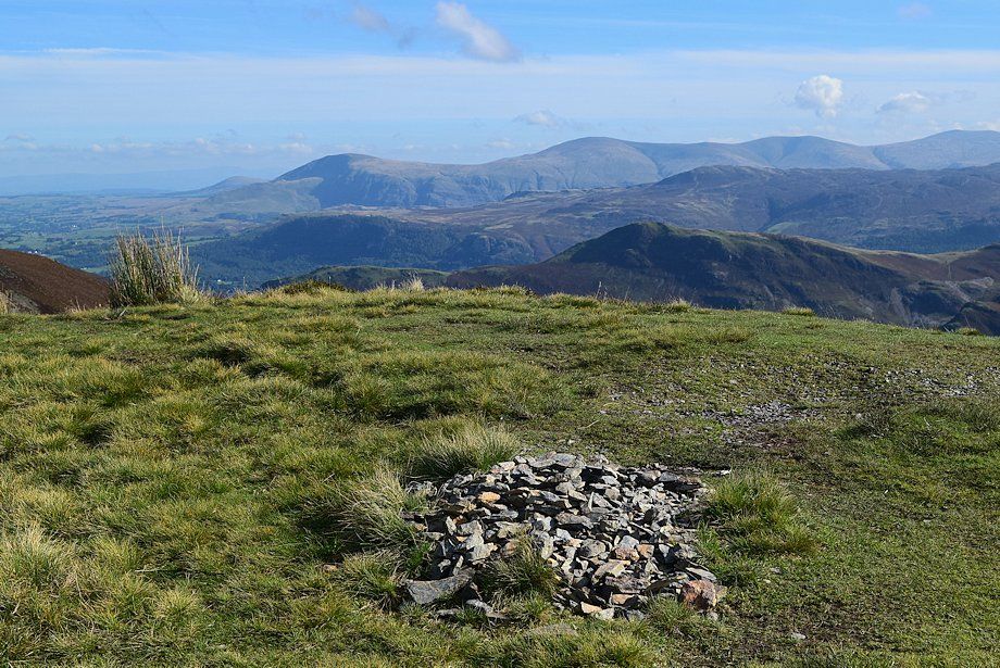 |
| The summit cairn on Ard Crags |
 |
| Scar Crags from the summit of Ard Crags |
 |
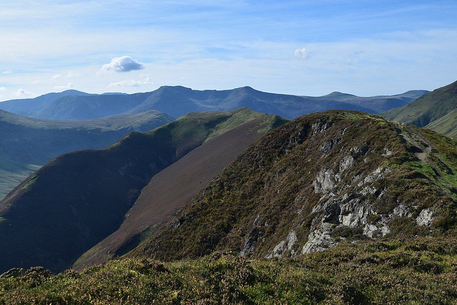
| Looking to Causey Pike and Blencathra. Skiddaw and Skiddaw Little Man can be seen on the left over the Scar Crags ~ Causey Pike ridge |
 |
| The Newlands Valley from the summit of Ard Crags |
 |
| Looking south over High Snab Bank to Hindscarth |
 |
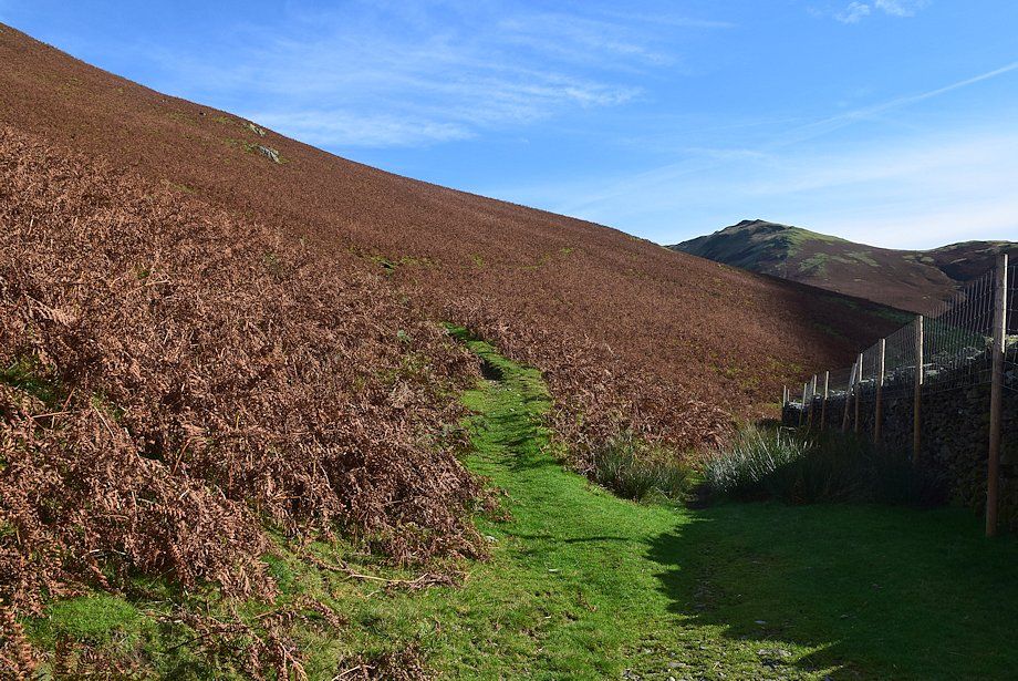
| The connecting ridge to Knott Rigg |
 |
| Wandope, Eel Crag and Sail from the summit of Ard Crags |


