 |
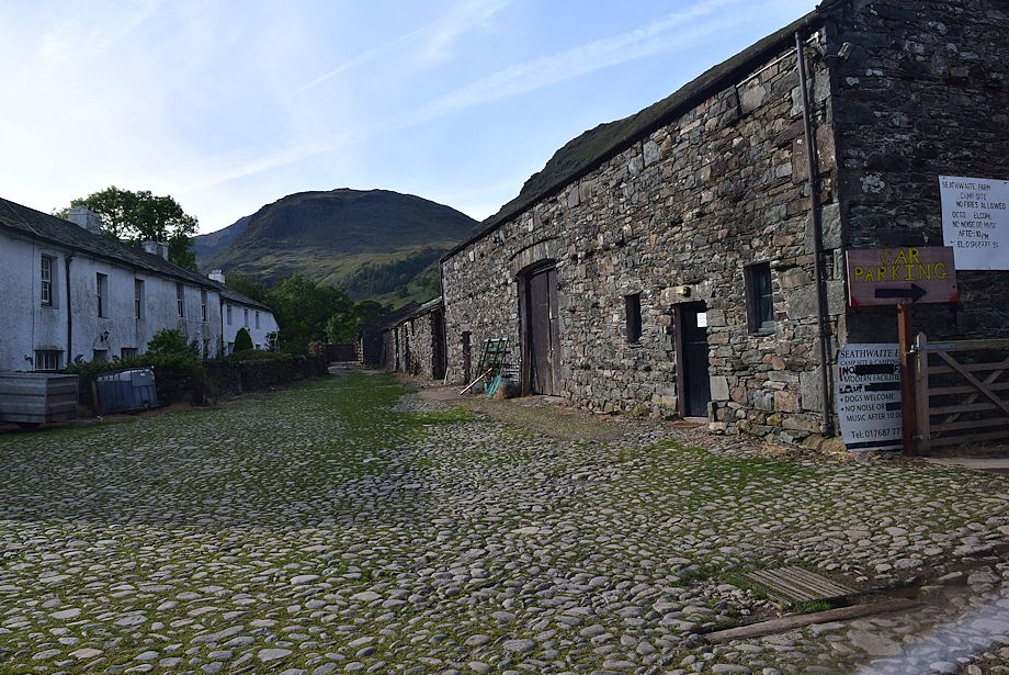
| Seathwaite Farm is the starting point for this walk |
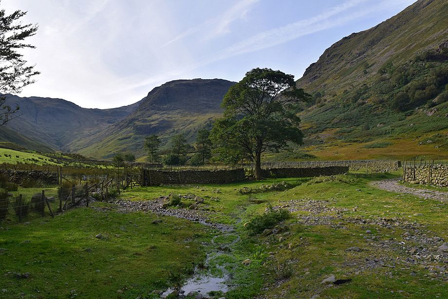 |
| Pass straight through the farmyard onto the bridleway track leading which leads to Stockley Bridge |
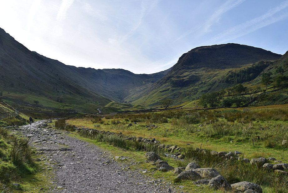 |
| Allen Crags at the head of the Grains valley, with Seathwaite Fell on the right |
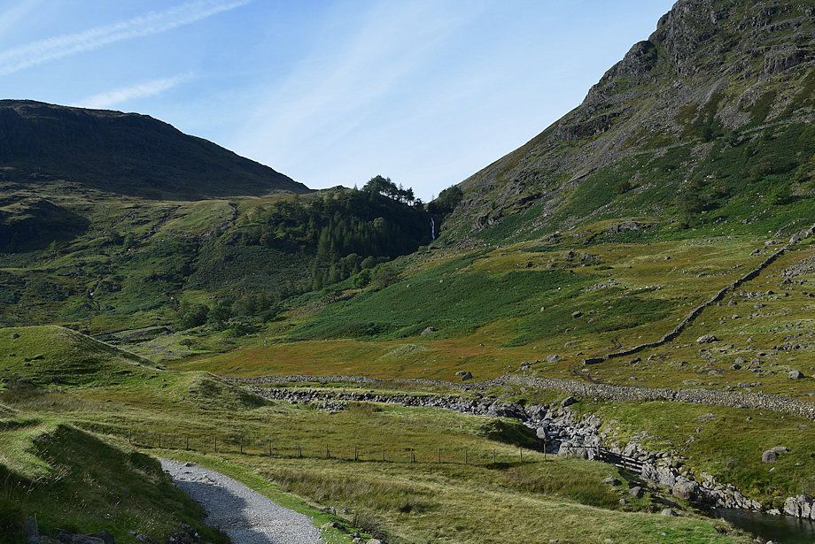 |
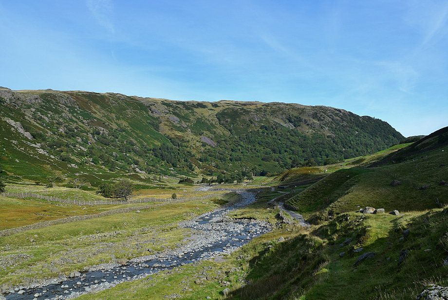
| Taylorgill Force from the bridleway track |
 |
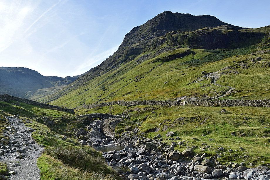
| Looking back along the bridleway track |
 |
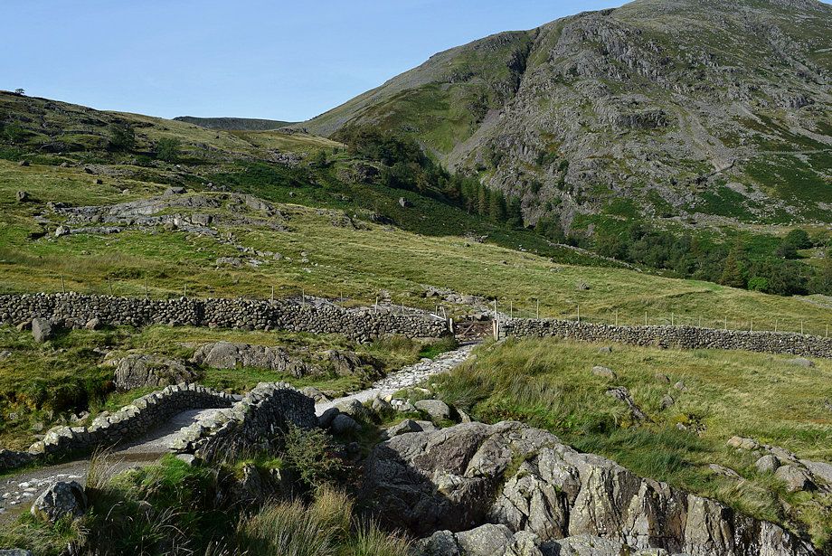
| Approaching Stockley Bridge |
 |
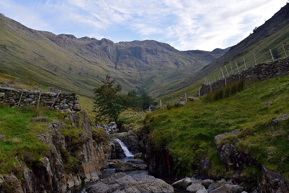
| The bridleway crosses Stockley Bridge and continues on from the gate towards Sty Head Pass |
 |
| Allen Crags from Stockley Bridge |
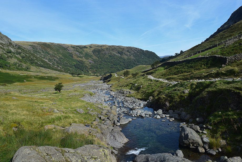 |
| Looking back along the River Derwent from Stockley Bridge |
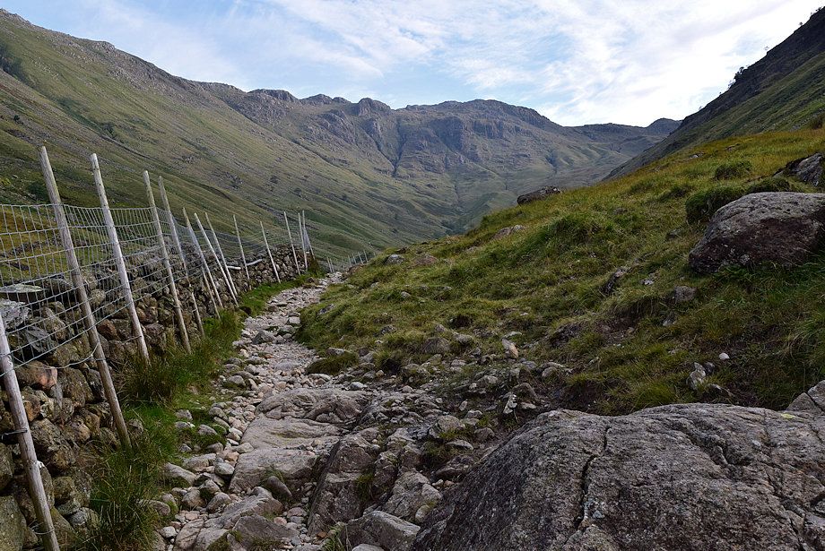 |
| The path to the Grains valley turns left from the gate |
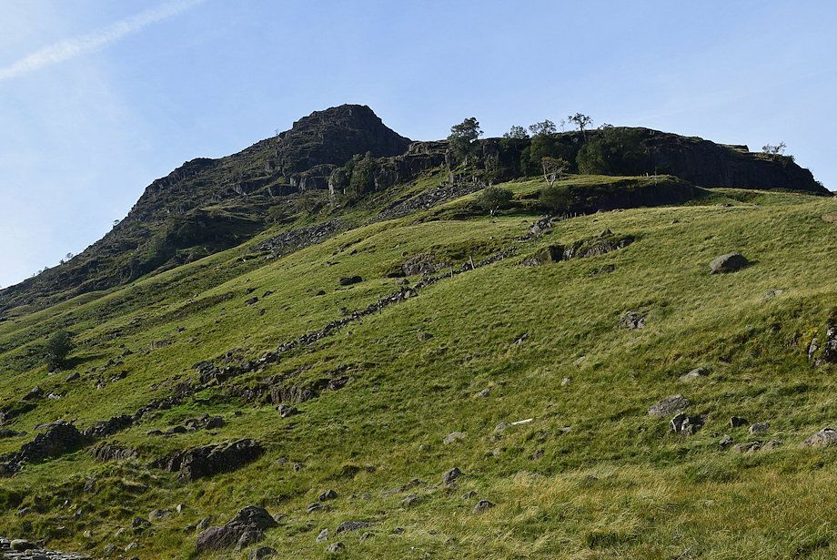 |
| Aaron Crags and Black Waugh on Seathwaite Fell from the Grains path |
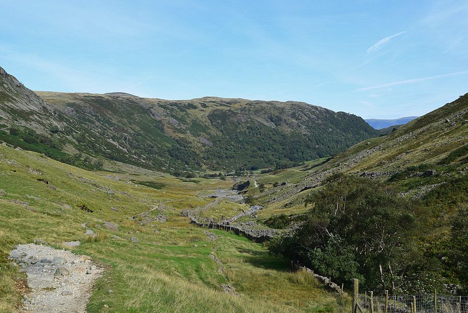 |
| Looking back from the Grains path |
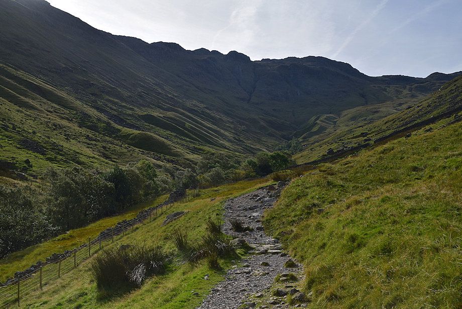 |
| The path climbs steadily to a gate in the intake wall |
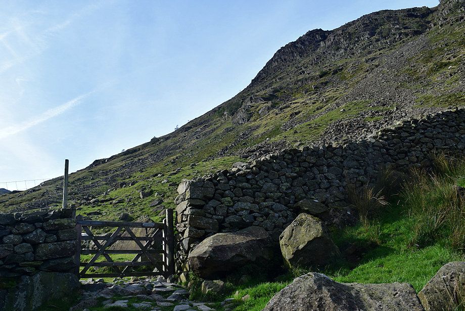 |
| The gate in the intake wall |
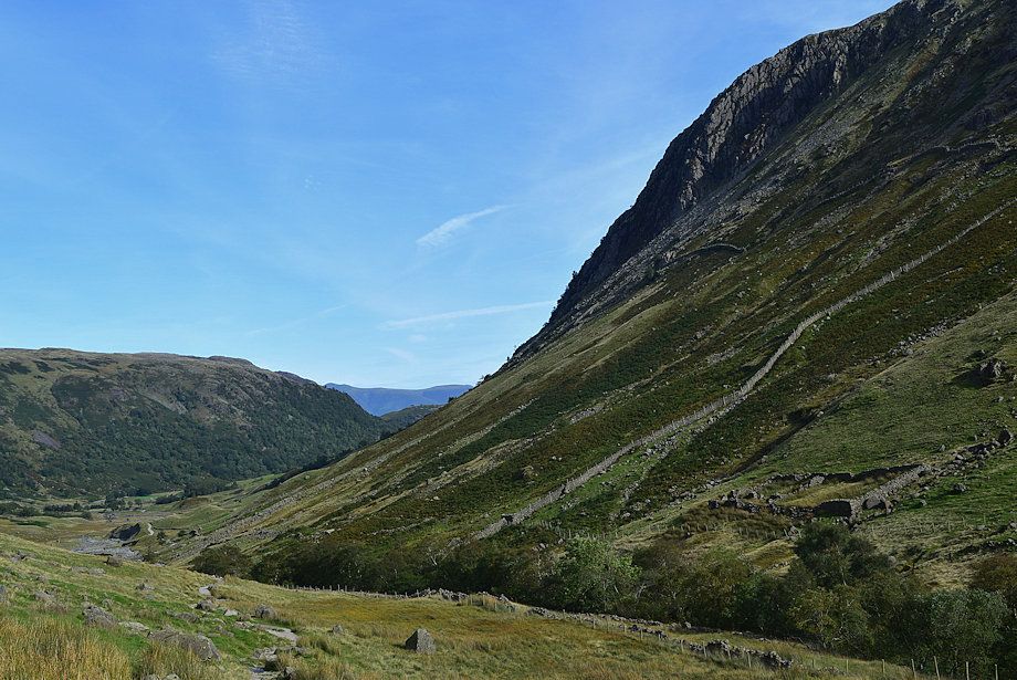 |
| Looking up to Hind Crag on Glaramara from the gate |
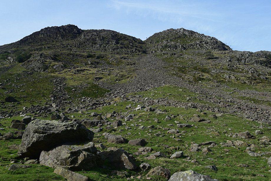 |
| Looking up to Aaron Crags on Seathwaite Fell from the gate |
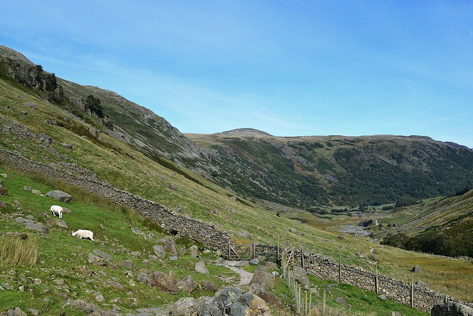 |
| Looking back from the gate, the summit of Dale Head appears over Seatoller Fell |
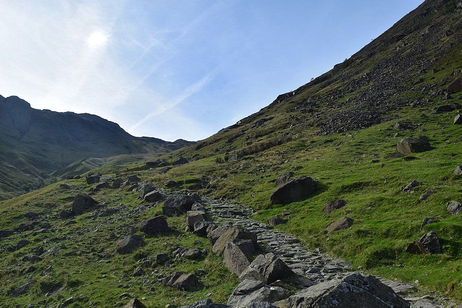 |
| The main path is only followed for about 150 yards from the gate. It continues on via Ruddy Gill to eventually join the Sty Head ~ Great Langdale bridleway. Leave it at about this point to cross Grains Gill by a footbridge. A post and wire fence to the left of the path leads down to the footbridge and helps to locate it |
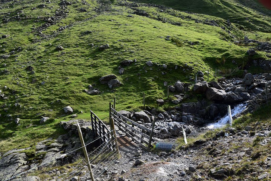 |
| The footbridge over Grains Gill. The bridge is not marked on the map as it's only meant to be a crossing point for sheep and is often passed unnoticed from the main path |
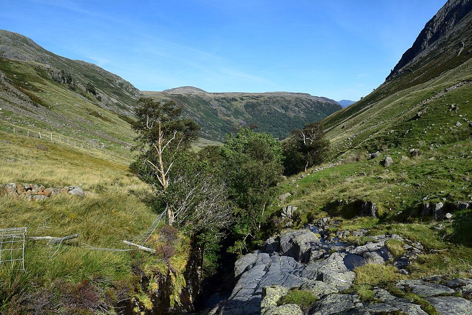 |
| Looking north from the bridge over Grains Gill |
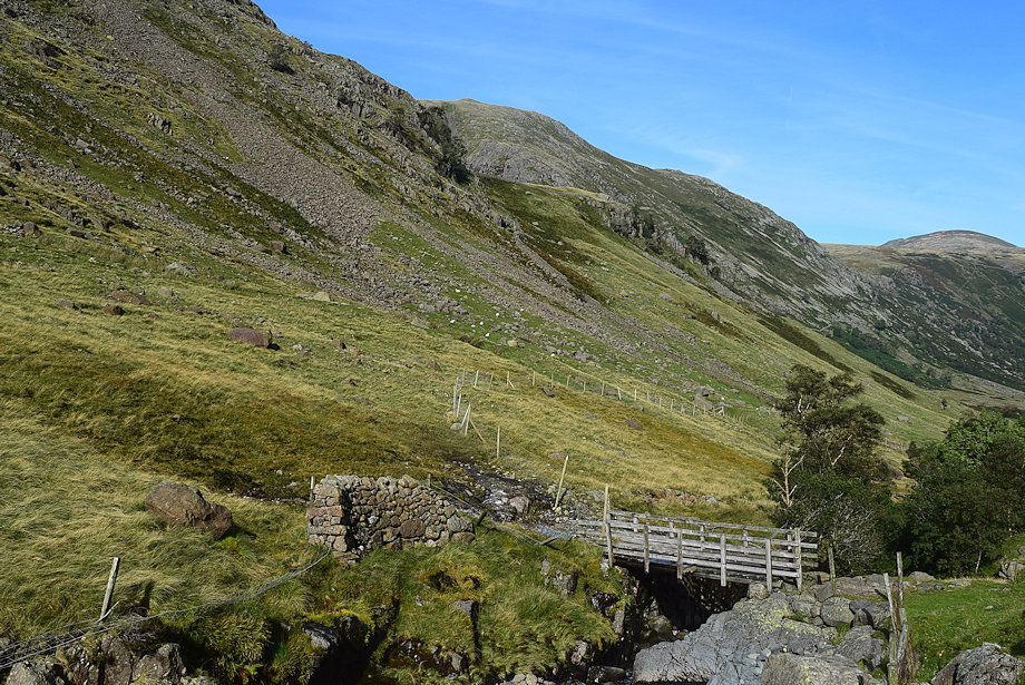 |
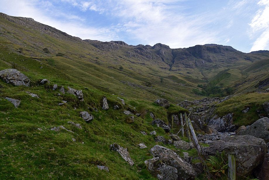
| Looking back to the bridge and the post and wire fence leading down to it |
 |
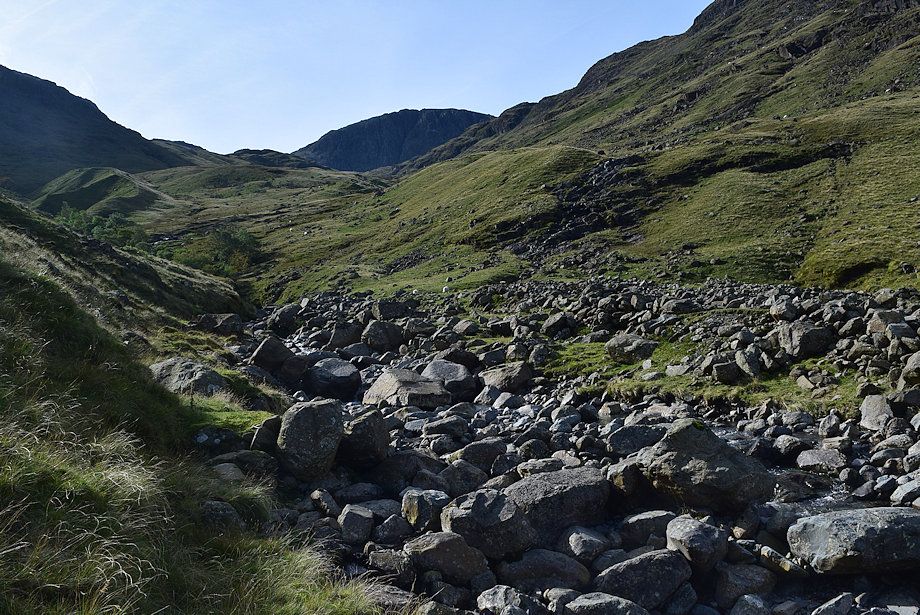
| Grains means the valley of the tributaries - and there are lots of them flowing into the main gill from the slopes of Glaramara. The first objective is to reach the foot of, and then climb, the small lateral moraine to the left of the tree lined gorge, centre right in the photo |
 |
| There is no path to follow alongside Grains Gill. Climb away from the gill before reaching the entrance to the tree lined gorge |
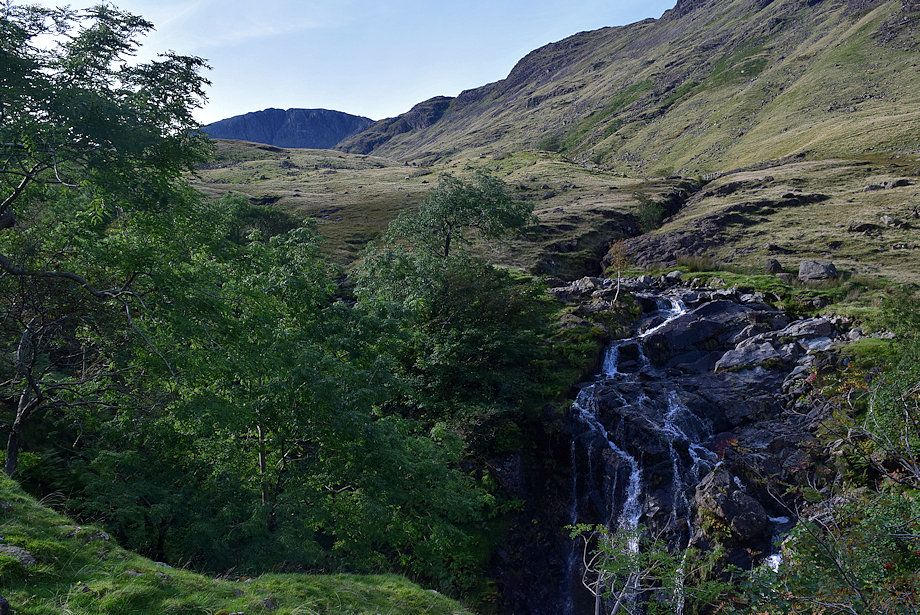 |
| Passing the waterfall where Ruddy Gill plunges into the Grains Gill gorge |
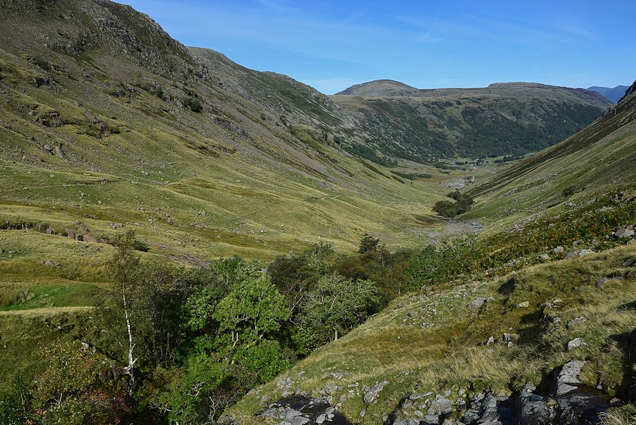 |
| Looking back along the Grains valley from above the gorge |
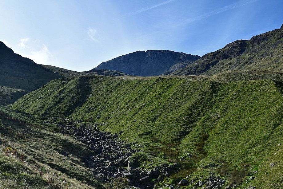 |
| Great End from the lateral moraine |
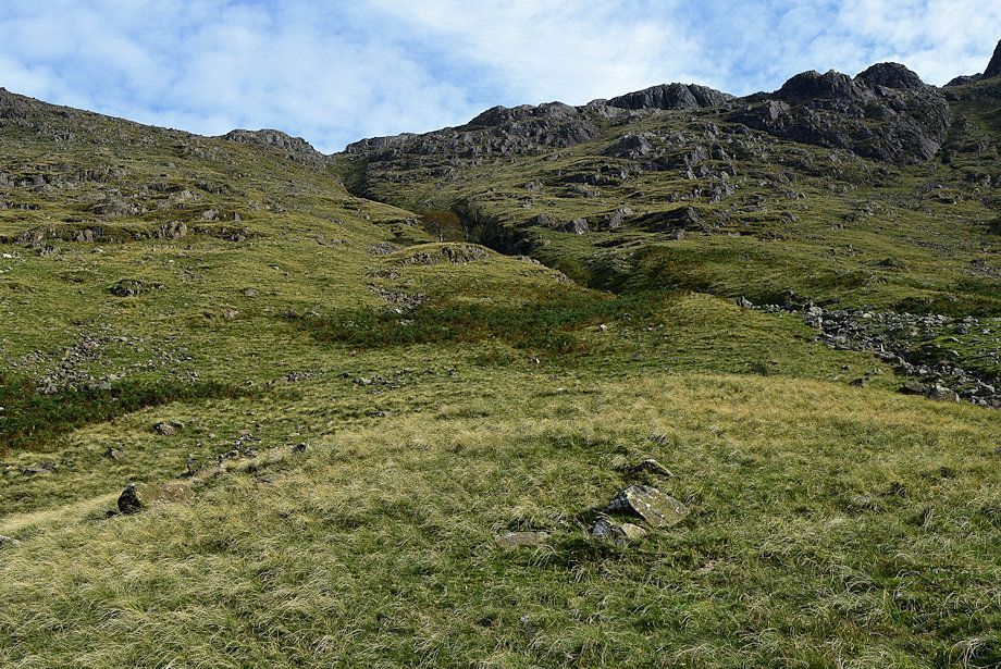 |
| Allen Gill from the top of the lateral moraine. The bed of the gill is too rough to negotiate. Make an easy crossing of the stream and climb the right bank of the gill by threading a way through the crags, keeping to grass throughout its length. There is no path and it becomes very steep near the top |
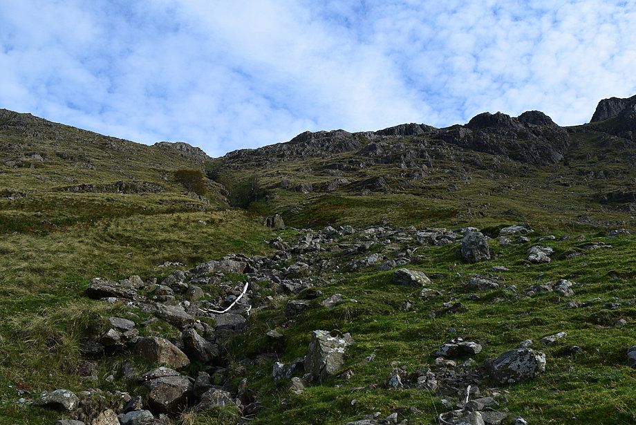 |
| Starting he climb up the right bank of Allen Gill |
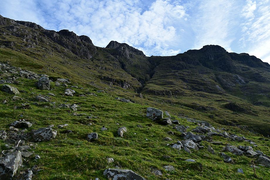 |
| Looking over to the north western face of Allen Crags |
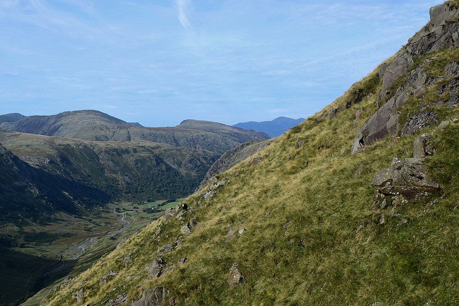 |
| Skiddaw appears across Allen Gill |
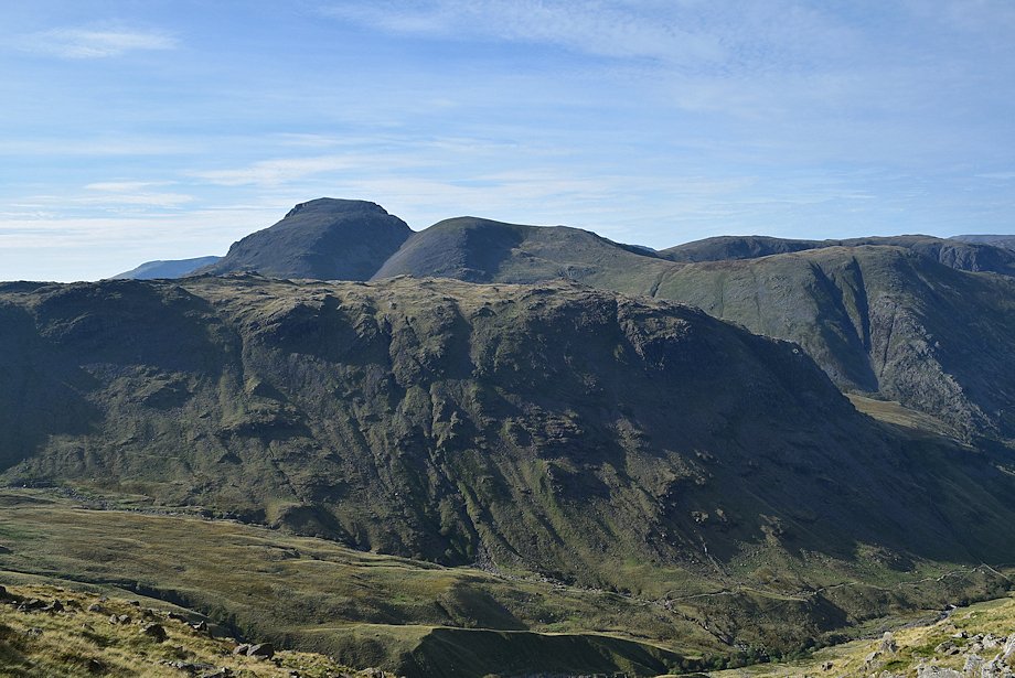 |
| Looking back towards Great Gable and Green Gable over Seathwaite Fell |
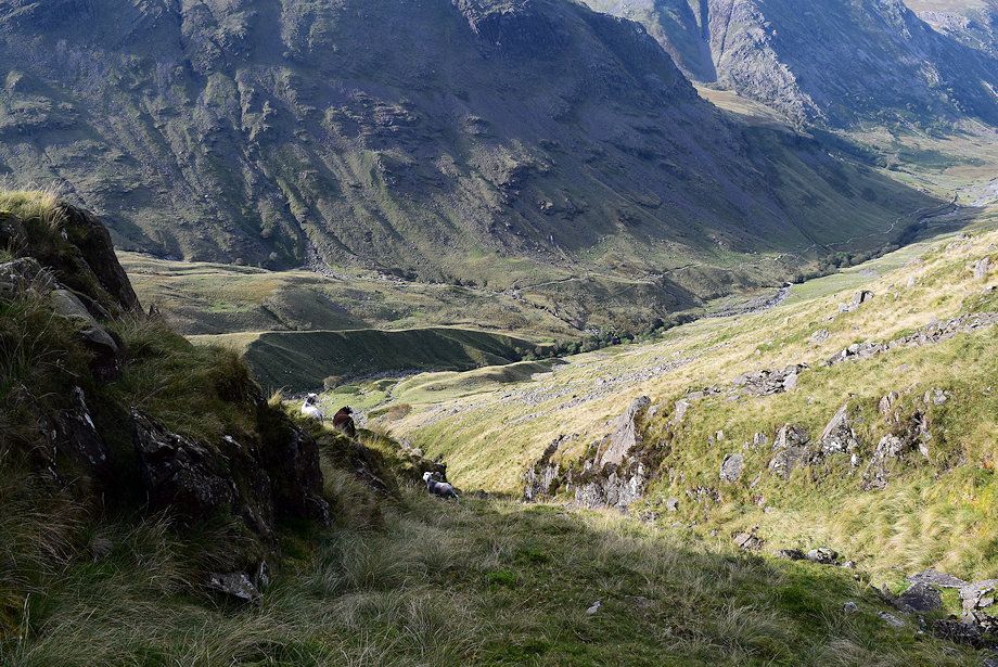 |
| Looking back from the halfway point on the climb alongside Allen Gill |
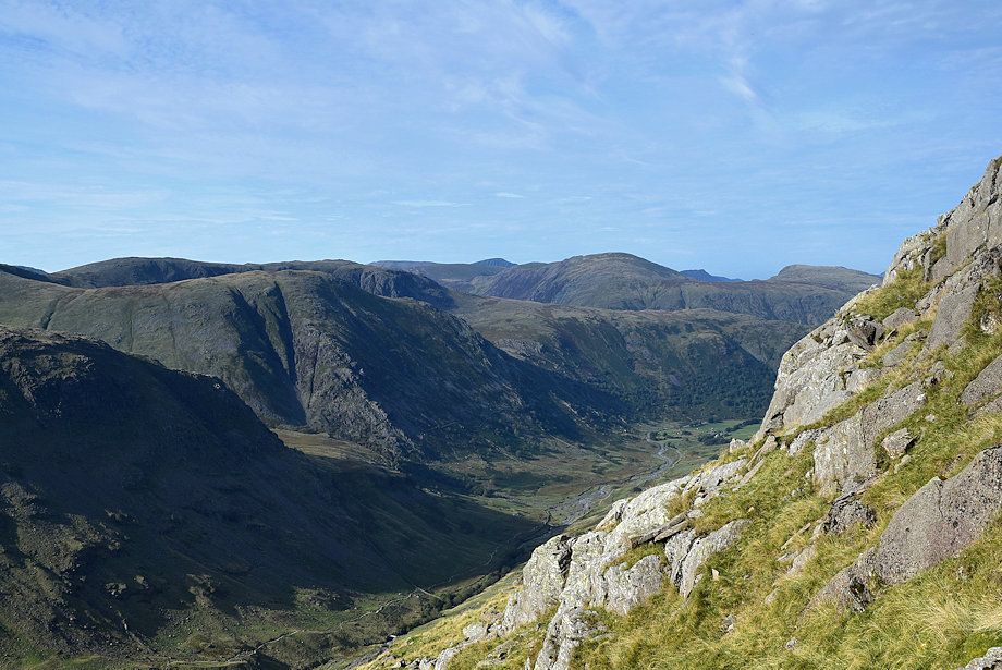 |
| Looking across the gill - Seathwaite Fell, Base Brown, Brandreth and Grey Knotts on the left with Dale Head, Causey Pike and High Spy on the right |
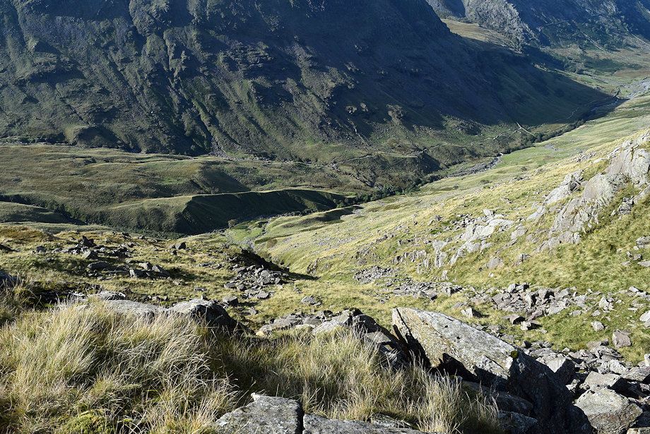 |
| Looking down from near the top of Allen Gill |
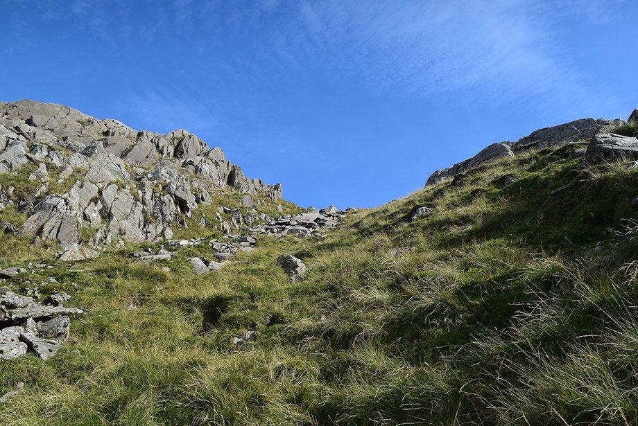 |
| Near the top of the gill |
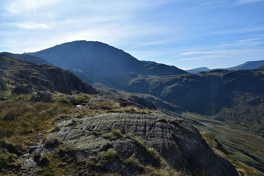 |
| Looking over to Great End |
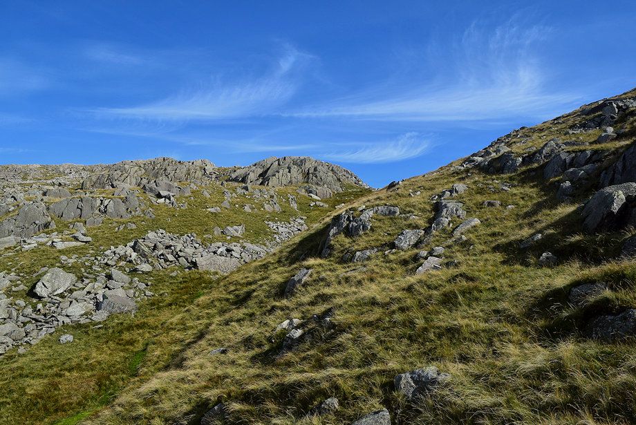 |
| Approaching the top of Allen Gill where the Glaramara ~ Allen Crags ridge path will be met at Lincomb Tarns |
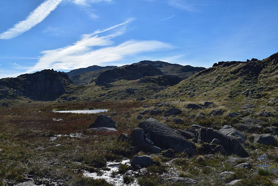 |
| The summit of Allen Crags from the ridge path at the head of Allen Gill |
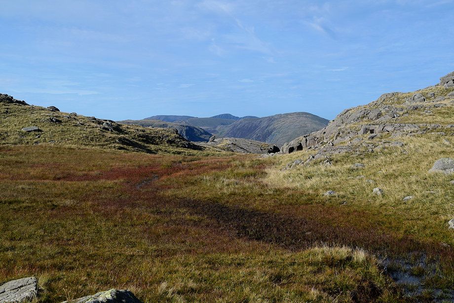 |
| Grasmoor, Robinson, Eel Crag, Sail and Dale Head from the head of Allen Gill |
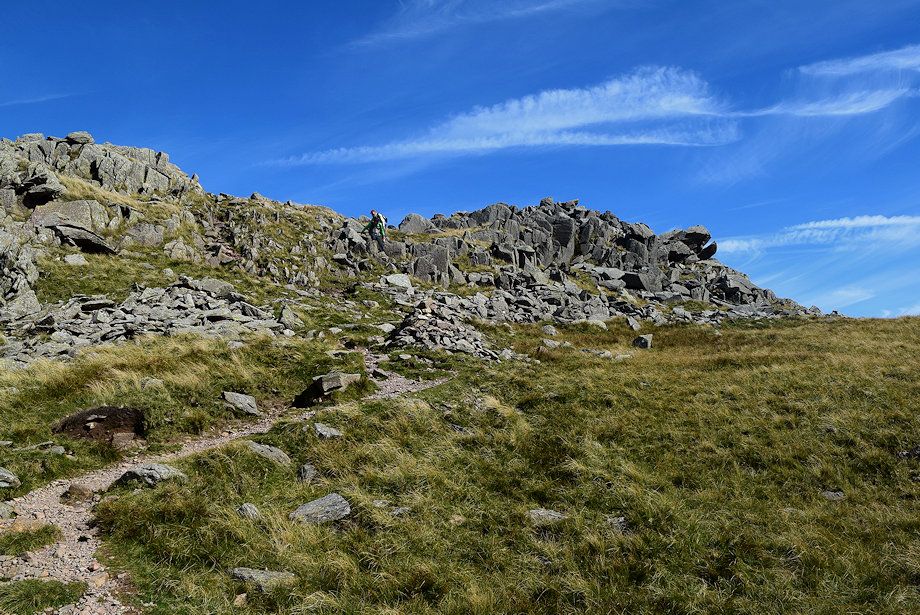 |
| Walkers on the ridge path to Glaramara |
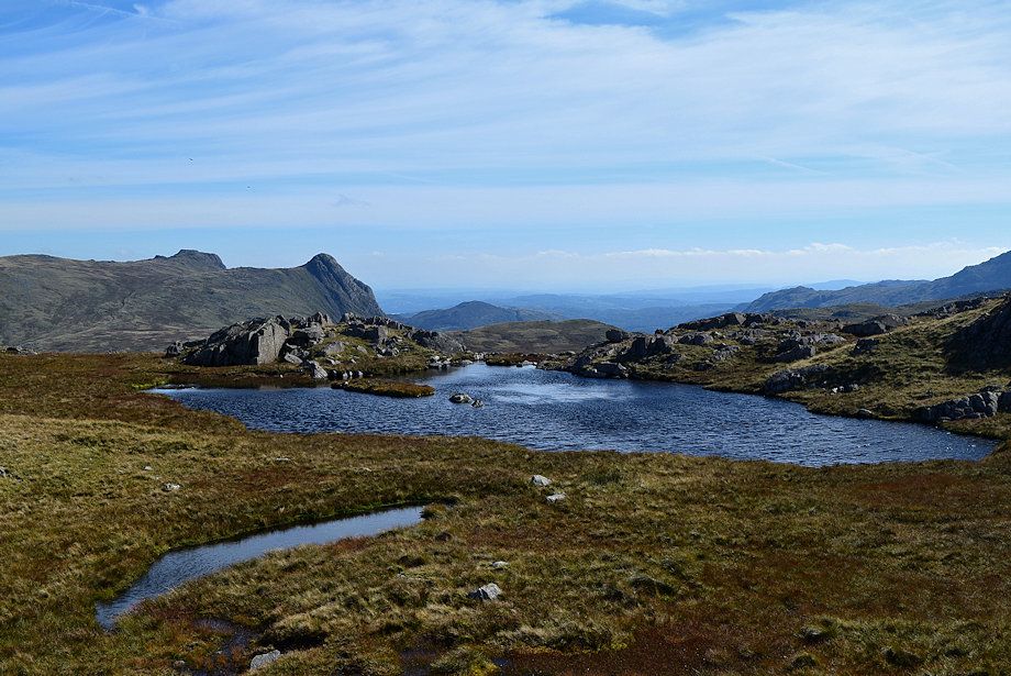 |
| High House Tarn, the only one of the Lincomb Tarns which is named |
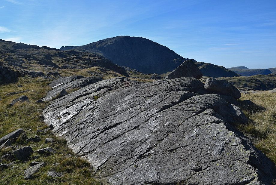 |
| Great End from Lincomb Tarns |
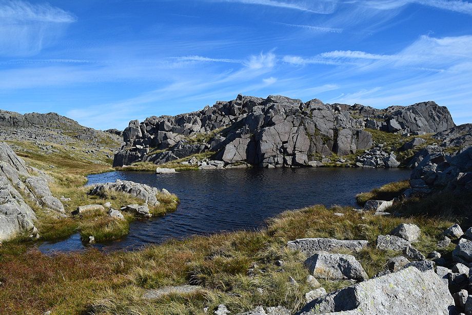 |
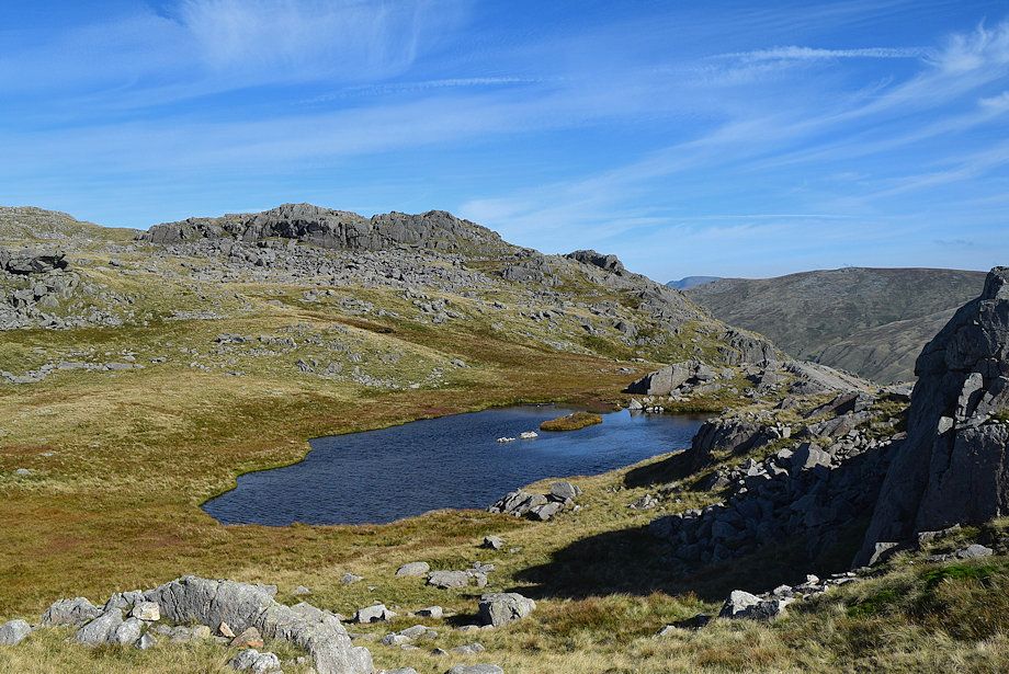
Above High House Tarn is another one which AW described as "A perfect mountain tarn - a splendid subject for an artist's canvas"
Allen Crags - page 7 |
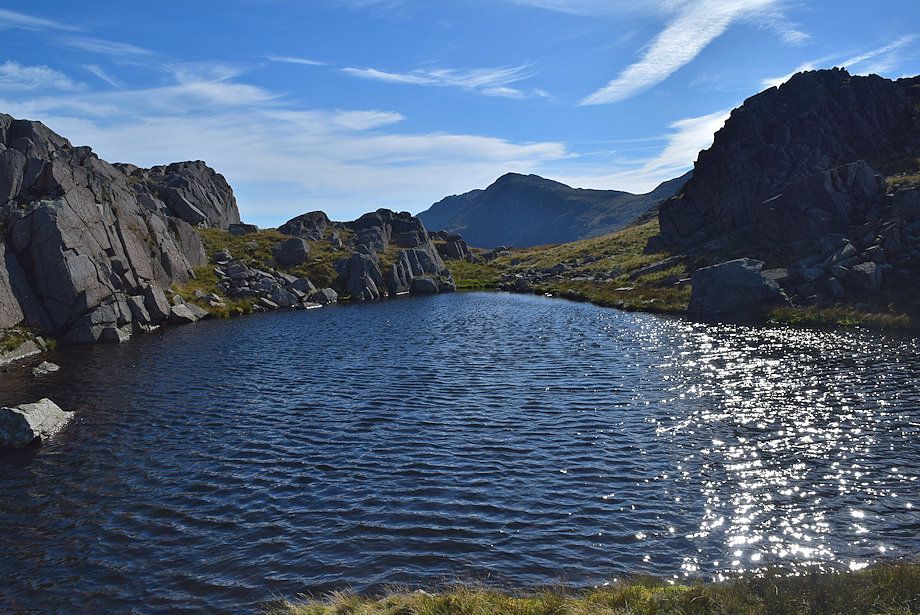 |
| Bowfell across AW's perfect mountain tarn |
 |
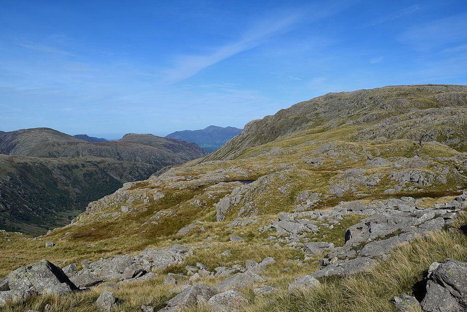
| Looking back to High House Tarn |
 |
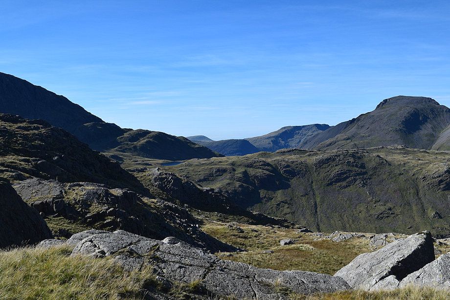
| Looking back, Skiddaw appears between the slopes of High Spy and Glaramara |
 |
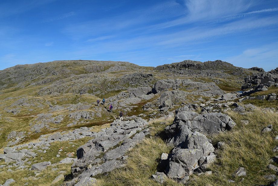
| Looking over to Seatallan, Yewbarrow, Red Pike and Great Gable above Seathwaite Fell |
 |
| Walkers on the ridge path to Glaramara |
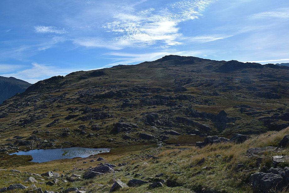 |
| The path descends to pass another unnamed tarn before making a final climb towards the summit of Allen Crags |
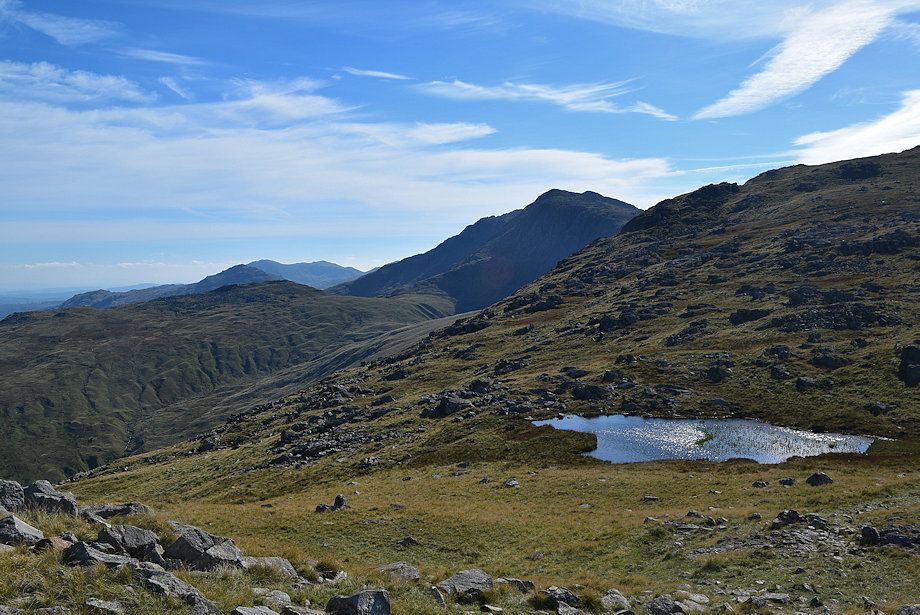 |
| Bowfell from the descent to the unanamed tarn with Pike o' Blisco and Wetherlam over Rossett Pike to the left |
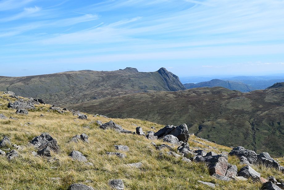 |
| Looking over to the Langdale Pikes |
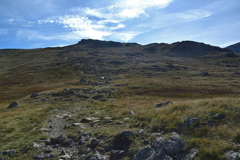 |
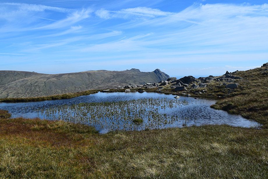
| The summit of Allen Crags from the unnamed tarn |
 |
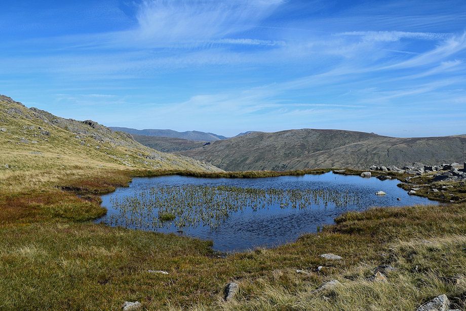
| The Langdale Pikes across the unnamed tarn |
 |
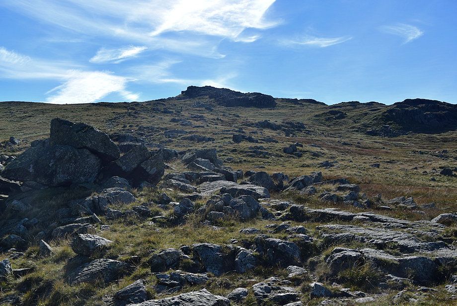
| High Raise across the unnamed tarn |
 |
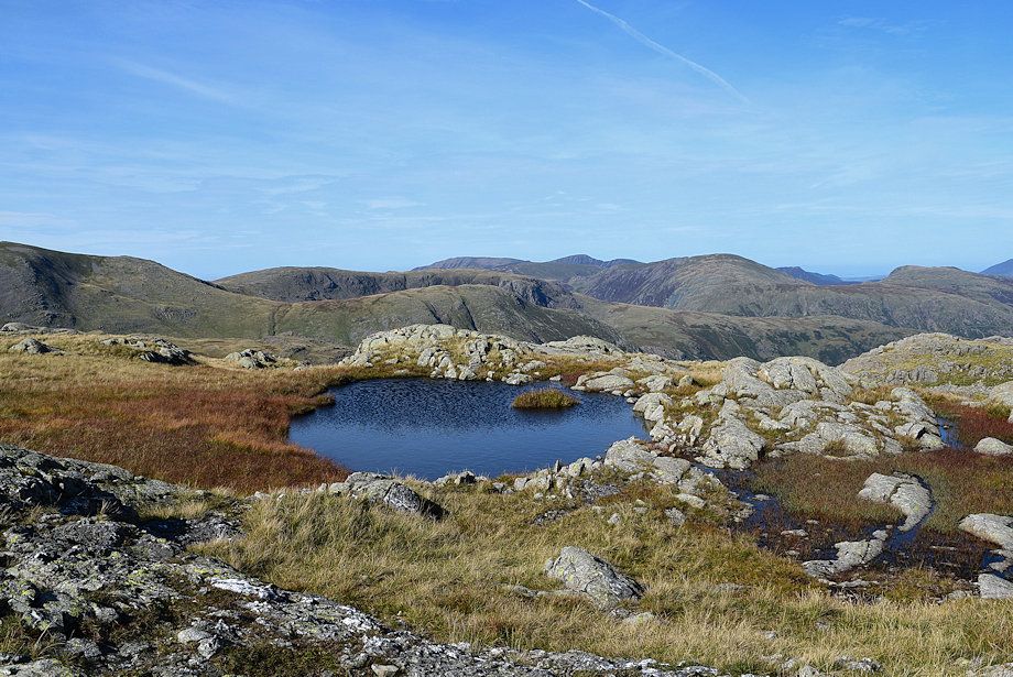
| Starting the final climb to the summit of Allan Crags |
 |
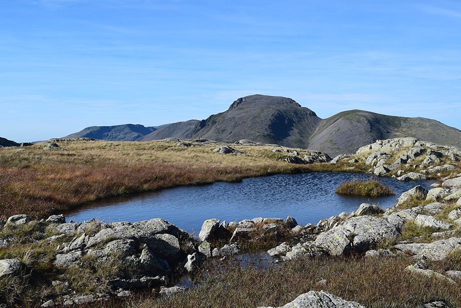
| Brandreth, Base Brown and Grey Knotts in the middle distance above the small tarn, with Grasmoor, Eel Crag, Sail, Dale Head, Causey Pike, Barf and High Spy forming the skyline centre to right |
 |
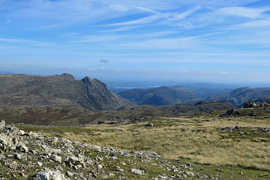
| Looking to Red Pike, Kirk Fell, Scoat Fell, Great Gable, and Green Gable |
 |
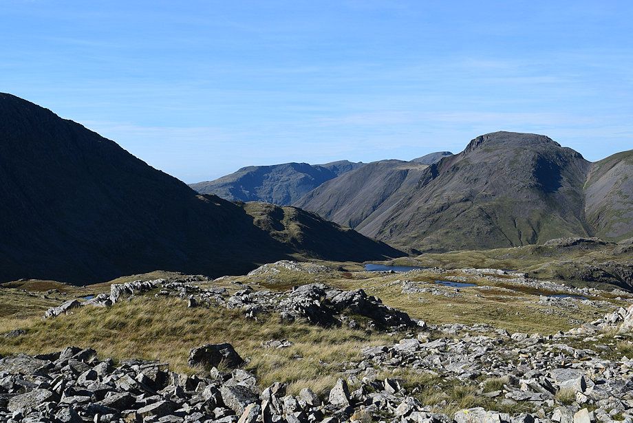
| Windermere comes into view above Lingmoor Fell |
 |
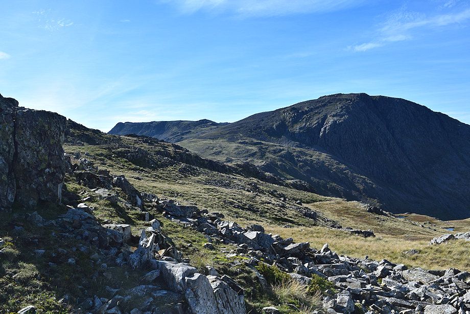
| The summit of Pillar makes an appearance to the left of Great Gable and part of Sprinkling Tarn comes into view in the centre of the photo |
 |
| Ill Crag and Great End |
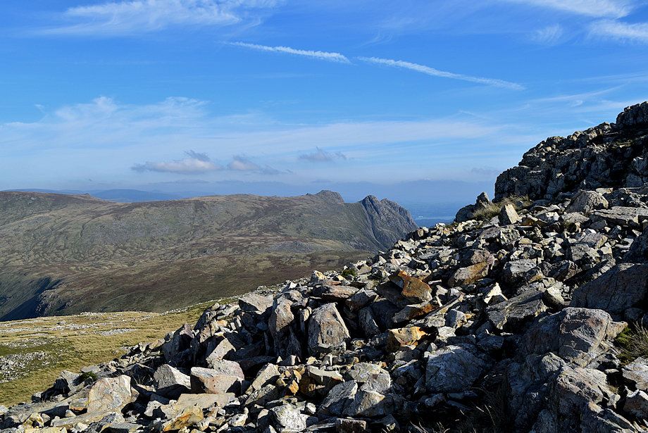 |
| Thunacar Knott, Harrison Stickle, and Loft Crag |
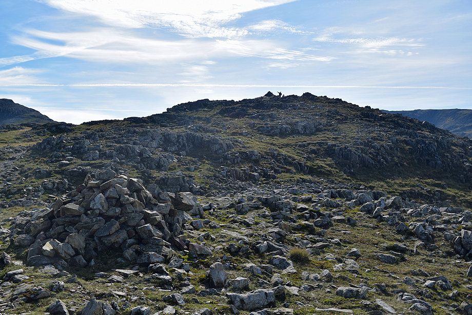 |
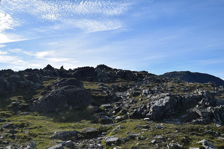
| The summit cairns come into view on reaching a prominent marker cairn |
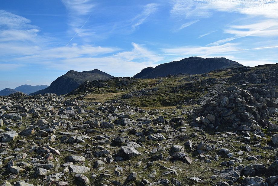 |
| Bowfell and Esk Pike from the marker cairn |
 |
| Approaching the summit of Allen Crags |
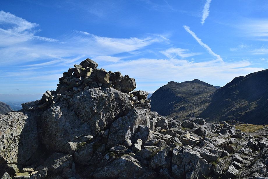 |
| The summit cairn on Allen Crags |
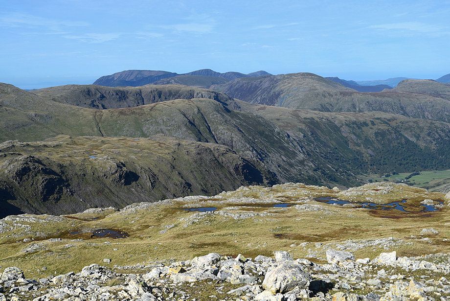 |
| Seathwaite Fell, Base Brown, Brandreth, and Grey Knotts in the middle distance. Grasmoor, Eel Crag, Sail, Grisedale Pike, Dale Head, Causey Pike, Barf, Binsey, and High Spy form the horizon |
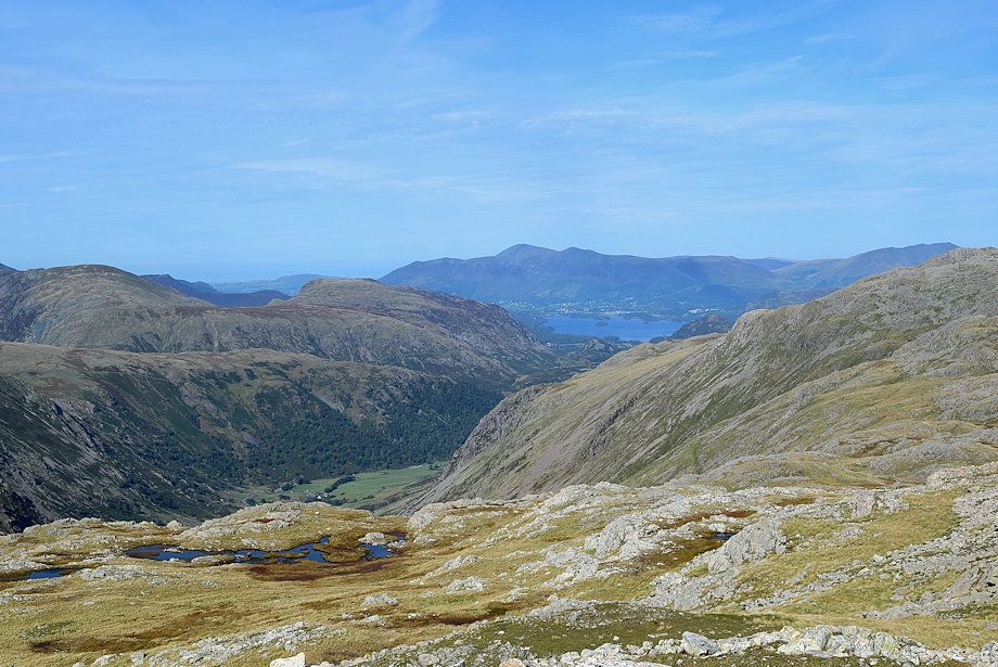 |
| Skiddaw and Derwent Water from the summit of Allen Crags |
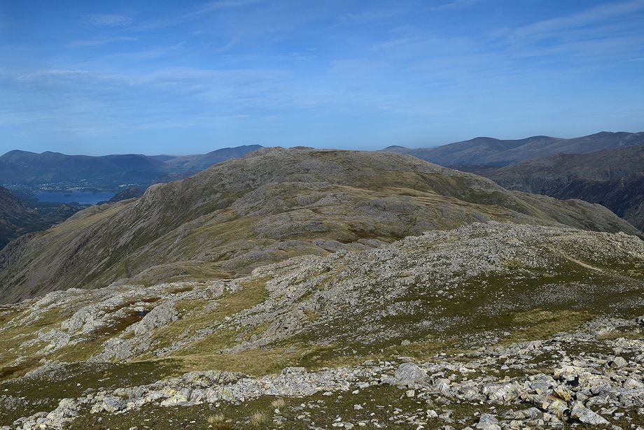 |
| The connecting ridge to Glaramara |
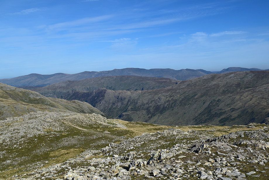 |
| Clough Head, Great Dodd, Stybarrow Dodd, Raise, Helvellyn, Nethermost Pike, Dollywaggon Pike, St. Sunday Crag, Fairfield, and Hart Crag form the horizon. Ullscarf, Eagle Crag, Sergeant's Crag and High Raise are the fells in the middle distance |
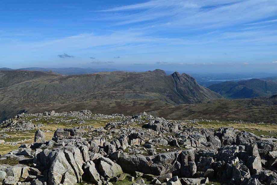 |
| The Langdale Pikes and Windermere from the summit of Allen Crags |
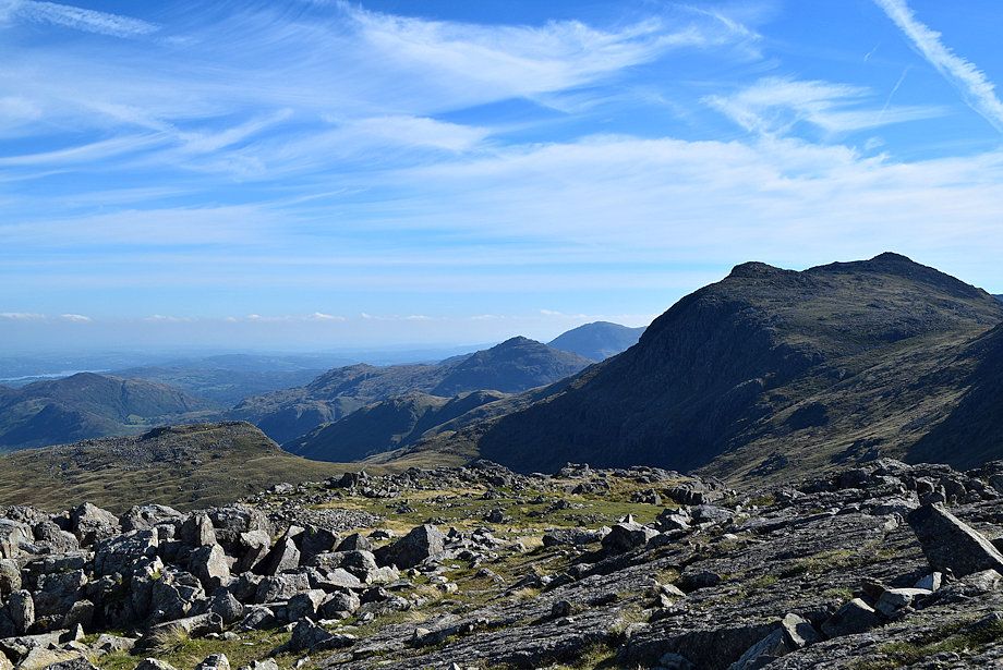 |
| Pike o' Blisco, Wetherlam, and Bowfell from the summit of Allen Crags |
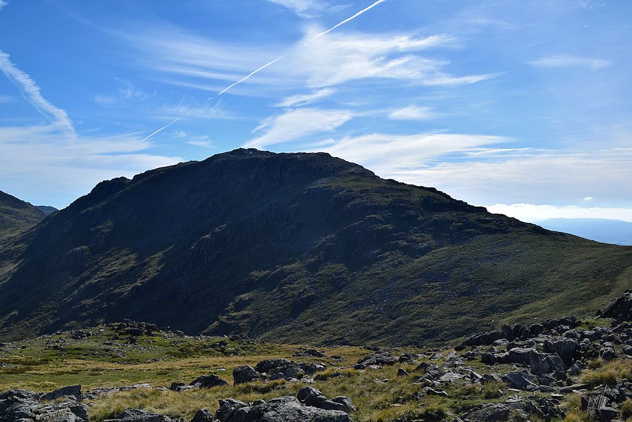 |
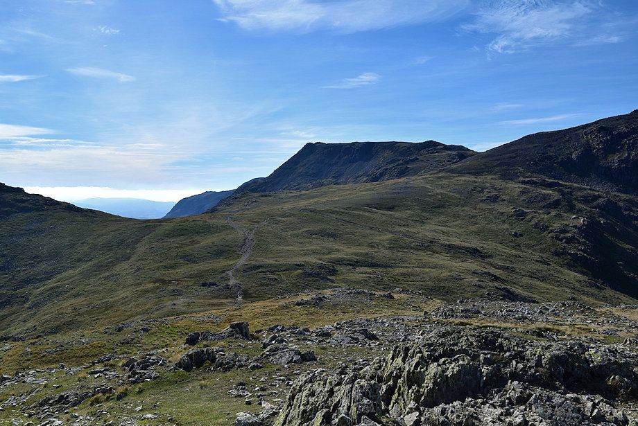
| Esk Pike from the summit of Allen Crags |
 |
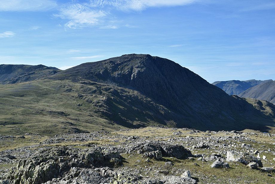
| Slight Side and Ill Crag from the summit of Allen Crags |
 |
| Great End from the summit of Allen Crags |
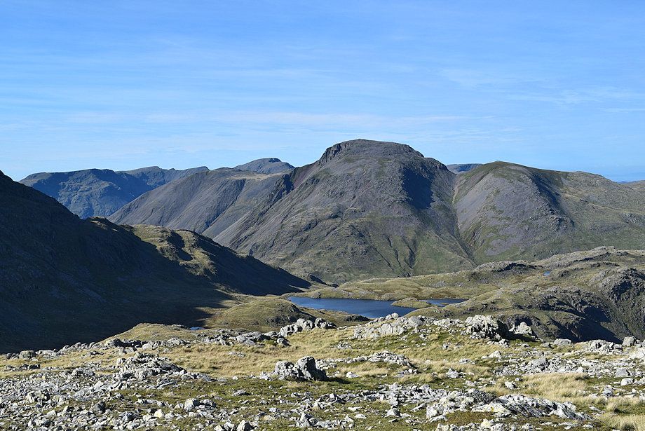 |
| Sprinkling Tarn backed by Great Gable from the summit of Allen Crags |


