
| Lingmell - Route One |
|
|
|
Part One
|
| Start - Wasdale Head NY 186 084 | Distance - 3.6 miles | Ascent - 2,650 feet | Time - 2 hours : 45 minutes |
| After twenty five years of fell walking in the Lake District, Kate decided it was time to make a determined effort to complete the Wainwright Fells. Over the last few weeks she has ticked off the few remaining ones she had missed over the years and now there was only one left to do - Lingmell |
 |
| Wasdale Head car park and ready for the off |
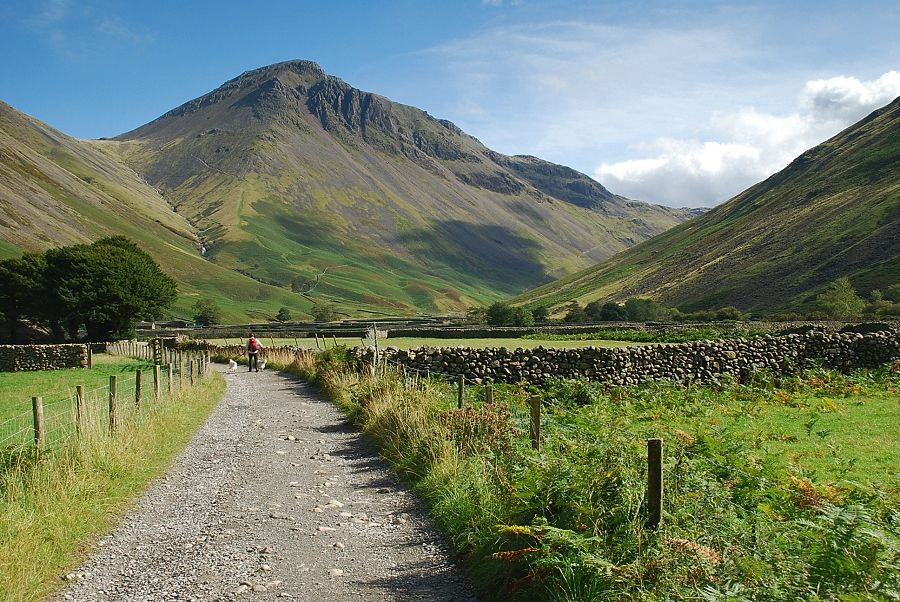 |
| Following the farm lane to Burnthwaite, passing St.Olaf's Church on the left |
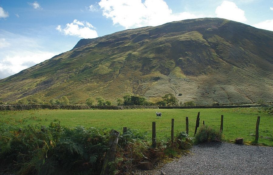 |
| Lingmell from the farm lane |
 |
| Looking over to Pillar at the head of Mosedale |
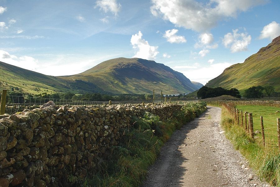 |
| Looking back to Illgill Head |
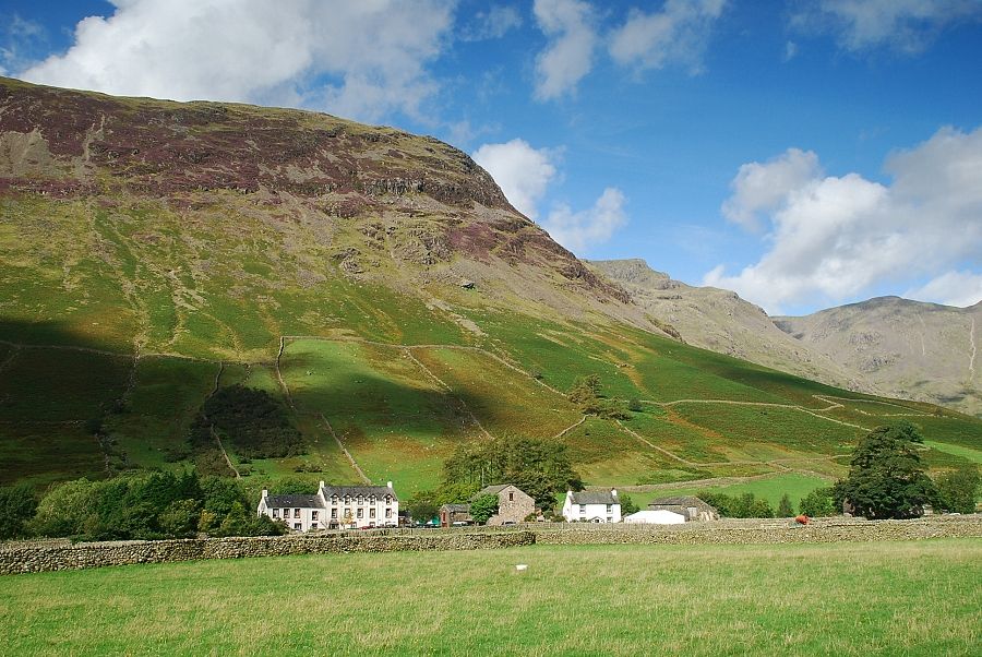 |
| Wasdale Head and Yewbarrow |
 |
| Burnthwaite Farm, waymark signs guide you around the farm buildings and through a gate to join the Moses Trod footpath |
 |
| Past the farm the path continues on alongside Fogmire Beck. |
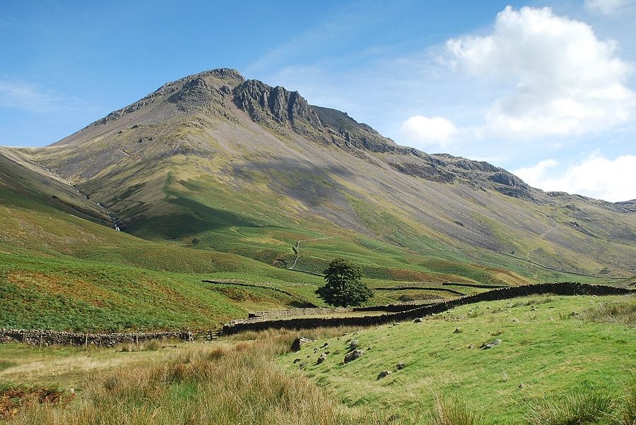 |
| Great Gable |
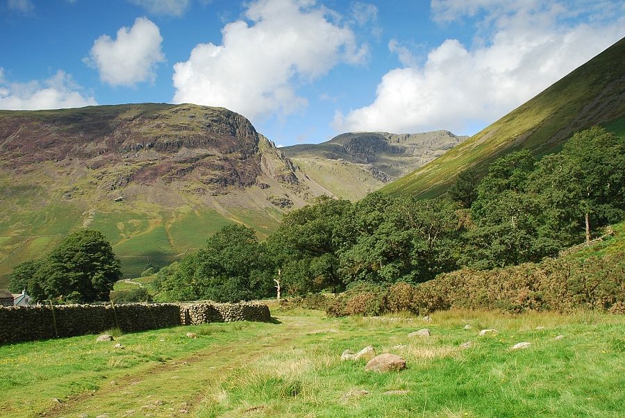 |
| Looking back to Yewbarrow and Red Pike |
 |
| Great Gable and Sty Head from Moses Trod |
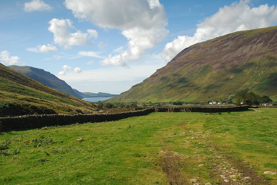 |
| Looking back to Wast Water |
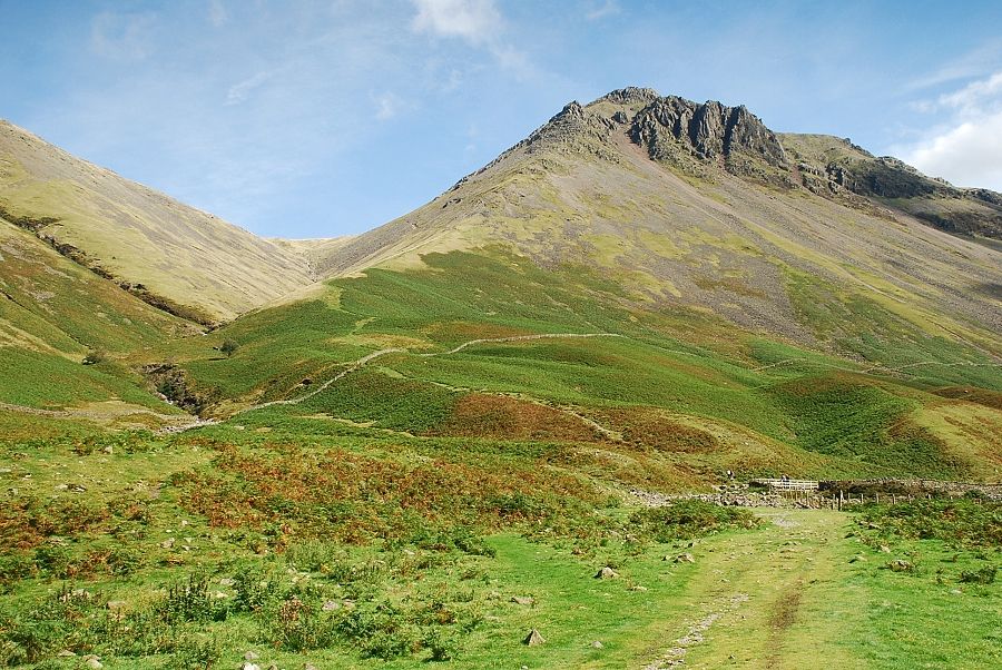 |
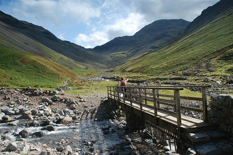
| Approaching the footbridge over Gable Beck |
 |
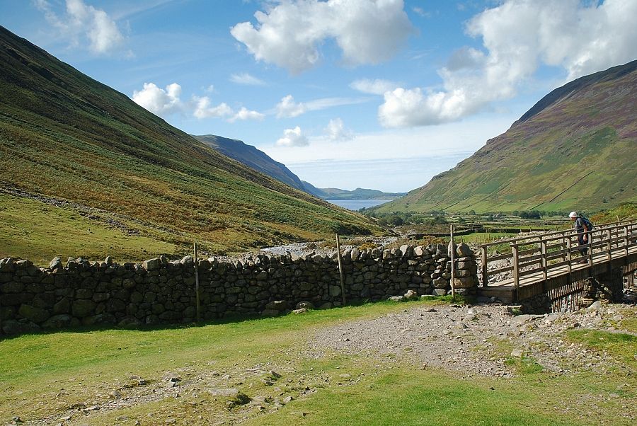
| Sty Head and Great End from the footbridge over Gable Beck |
 |
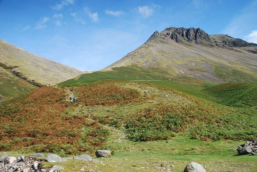
| Looking back to Wast Water |
 |
| Moses Trod turns off to the left climbing towards Beck Head, the col between Kirk Fell and Great Gable |
 |
| We continue on the main path towards Sty Head |
 |
| The Sty Head path is only followed for a couple of hundred yards before we leave it for the Valley Route, the old packhorse route to Sty Head |
 |
| Great End from the gate in the top intake wall |
 |
| Lingmell from the intake gate |
 |
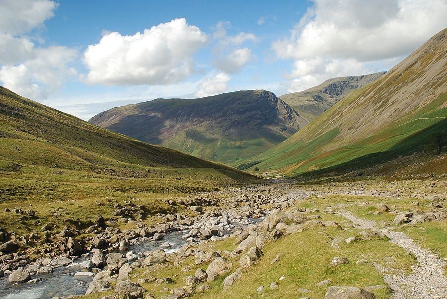
| The Valley Route continues on alongside Lingmell Beck |
 |
| Looking back to Yewbarrow and Red Pike from the Valley Route |
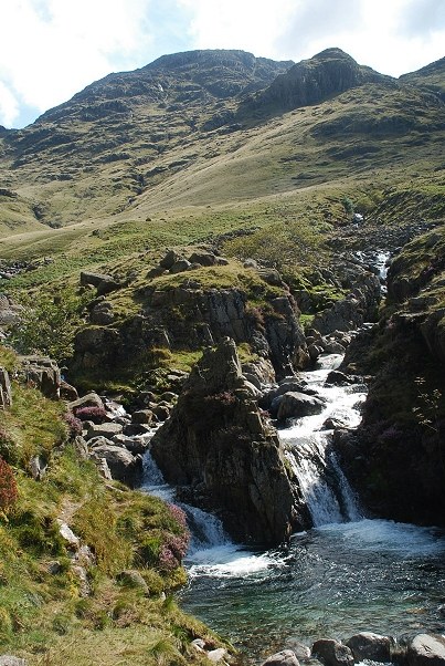 |
| Great End and Stand Crag from the confluence of Lingmell Beck and Spouthead Gill - as AW described in his diagram of the ascent "a beautiful watersmeet" We follow Spouthead Gill for a short distance to find a suitable crossing point |
 |
| Lingmell Crag from the crossing point of Spouthead Gill |
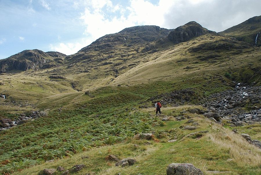 |
| The old Valley Route continues on in a series of zig-zags towards Sty Head |
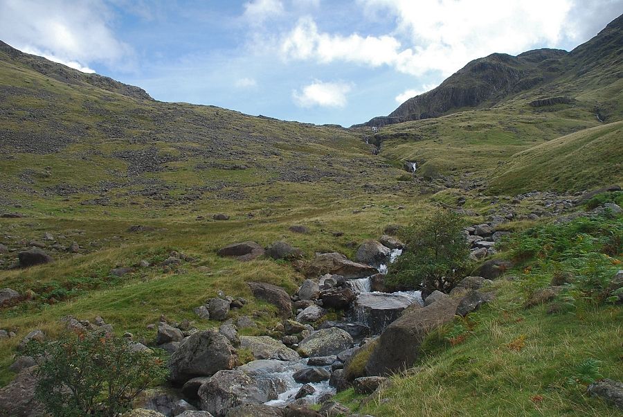 |
| Looking along the course of Spouthead Gill leading up to Sty Head |
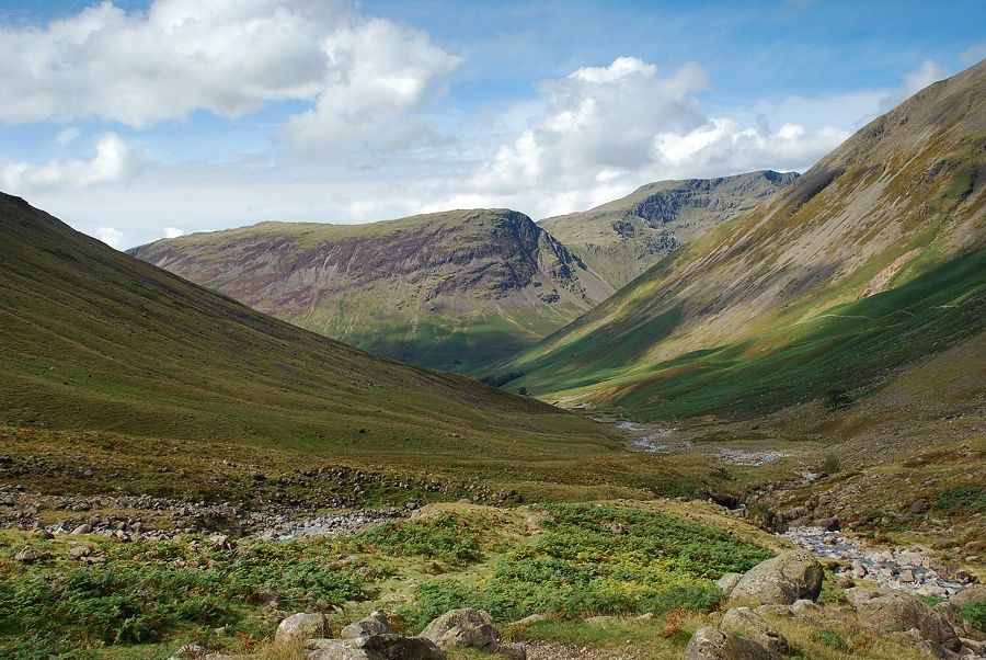 |
| Looking back to Yewbarrow and Red Pike |
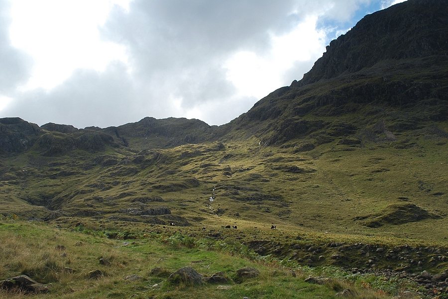 |
| The north face of Lingmell dominates the climb to the low point in the centre of the photo |
 |
| After following the Valley Route for a couple of hundred yards we leave it and begin to climb alongside Lingmell Beck towards Greta Gill |
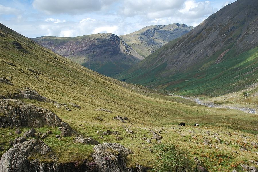 |
| Looking back across the slopes of Lingmell to Yewbarrow and Red Pike |
 |
| Kirk Fell and Great Gable from the path alongside Lingmell Beck |
 |
| Stand Crag and the Greta Gill ravines |
 |
| Crossing Greta Gill |
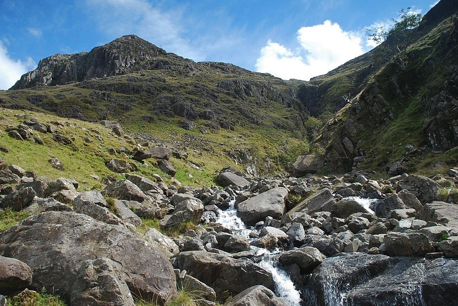 |
| Looking up to the Greta Gill ravines with Stand Crag on the left |
 |
| The path climbs the opposite bank of Greta Gill and continues alongside Piers Gill towards Criscliffe Knotts |
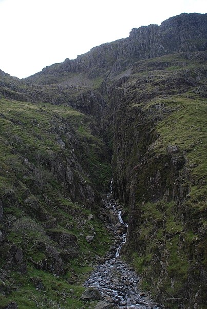 |
| The lower reaches of Piers Gill come into view |
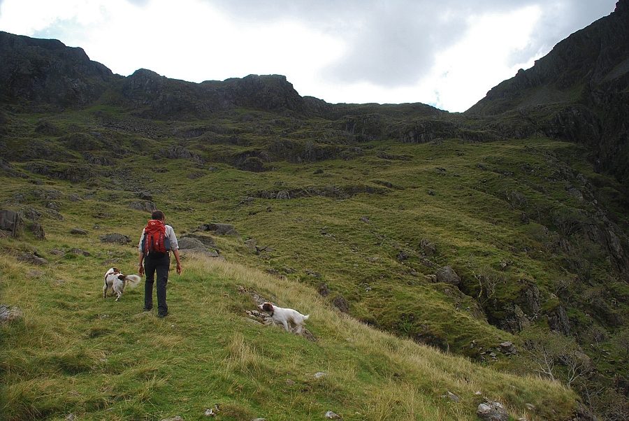 |
| Climbing up towards Criscliffe Knotts |
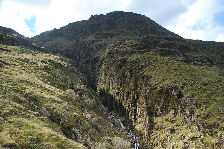 |
| Piers Gill and the north face of Lingmell |
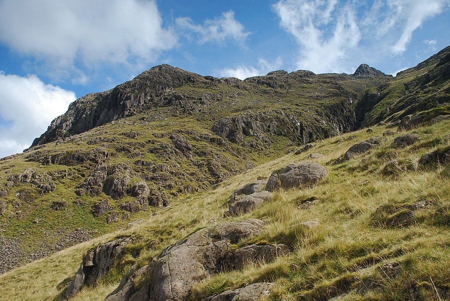 |
| Looking over to Stand Crag across Greta Gill |
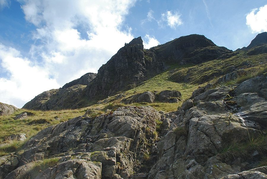 |
| Looking up to the crags of Criscliffe Knotts |
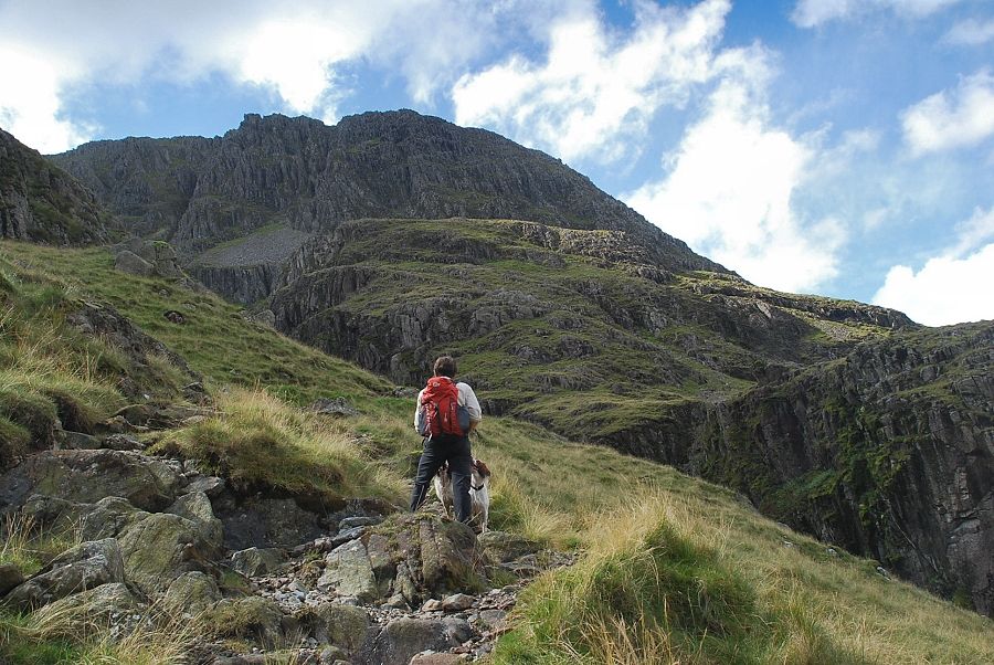 |
| The north face of Lingmell from the path below Criscliffe Knotts |
 |
| Kirk Fell across the deep chasm of Piers Gill |
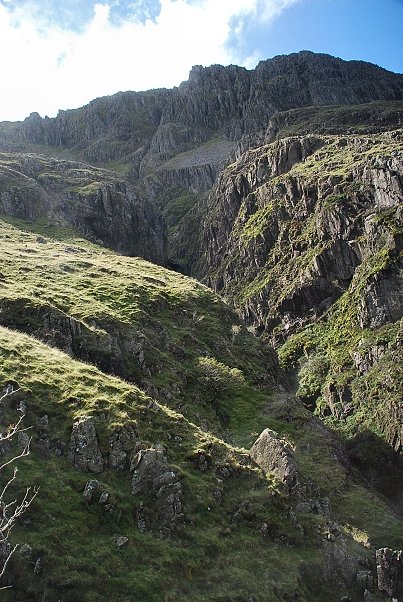 |
| The middle reaches of Piers Gill |
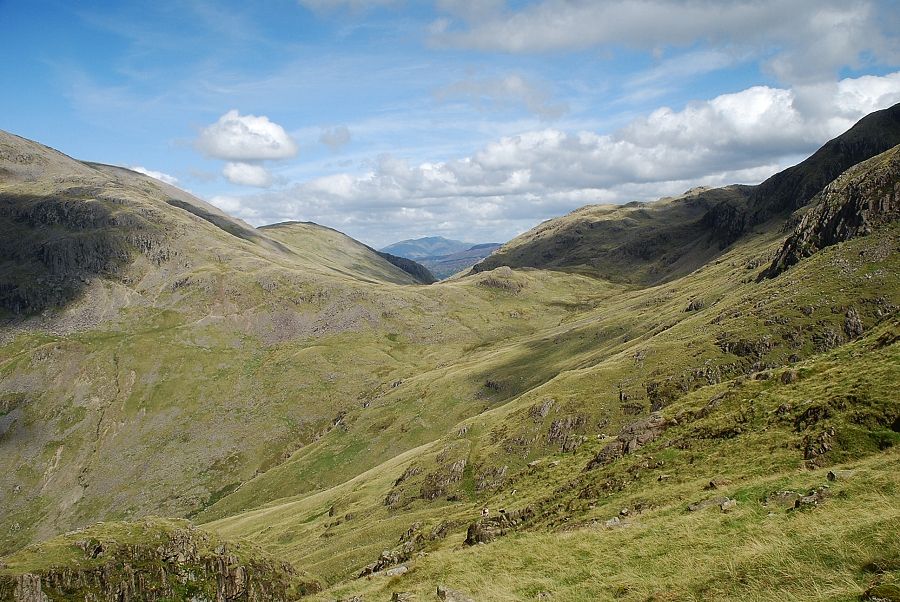 |
| Blencathra appears over Sty Head |
| Click HERE for part two |
This Web Page Created with PageBreeze Free HTML Editor