 |
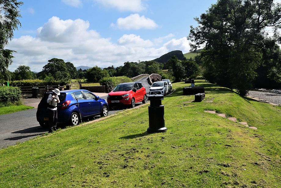
| A lay-by beside the River Ehen at Wath Bridge is the starting point of this walk |
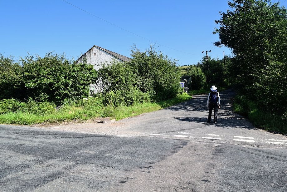 |
| A short distance to the west of Wath Bridge is the start of Nannycatch Road which is sometimes used by Coast to Coast walkers as an alternative route which avoids the ascent of Dent |
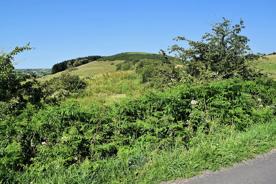 |
| Looking over towards Kinniside Cop |
 |
| Nannycatch Road |
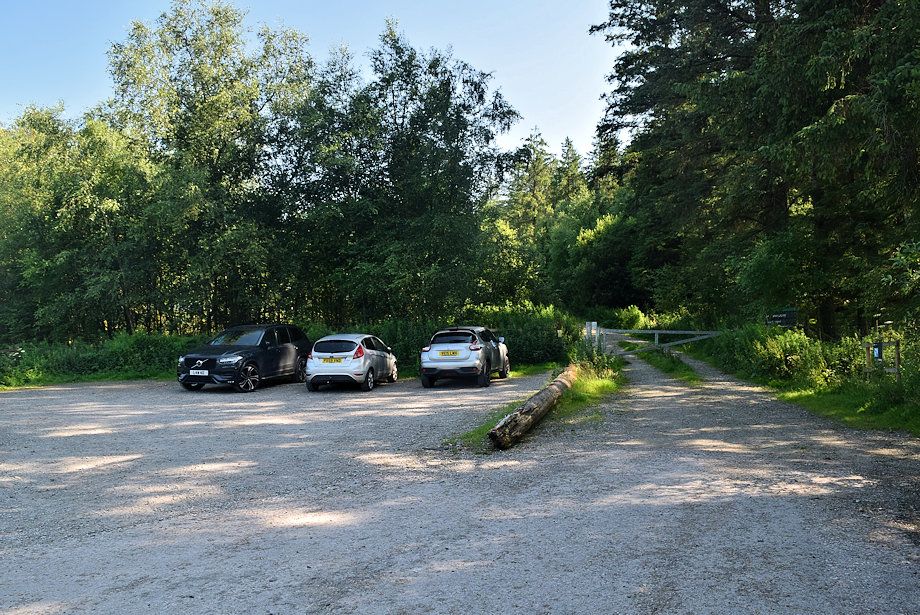 |
| The road ends at a small car park below the Dent Forest |
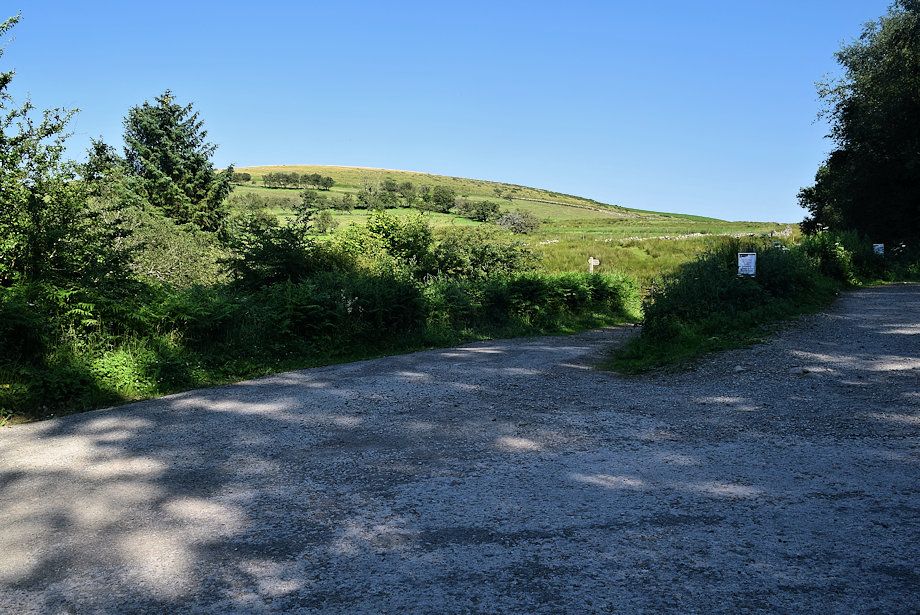 |
| The way ahead continues on the Coast to Coast Way through a handgate to the left of the car park |
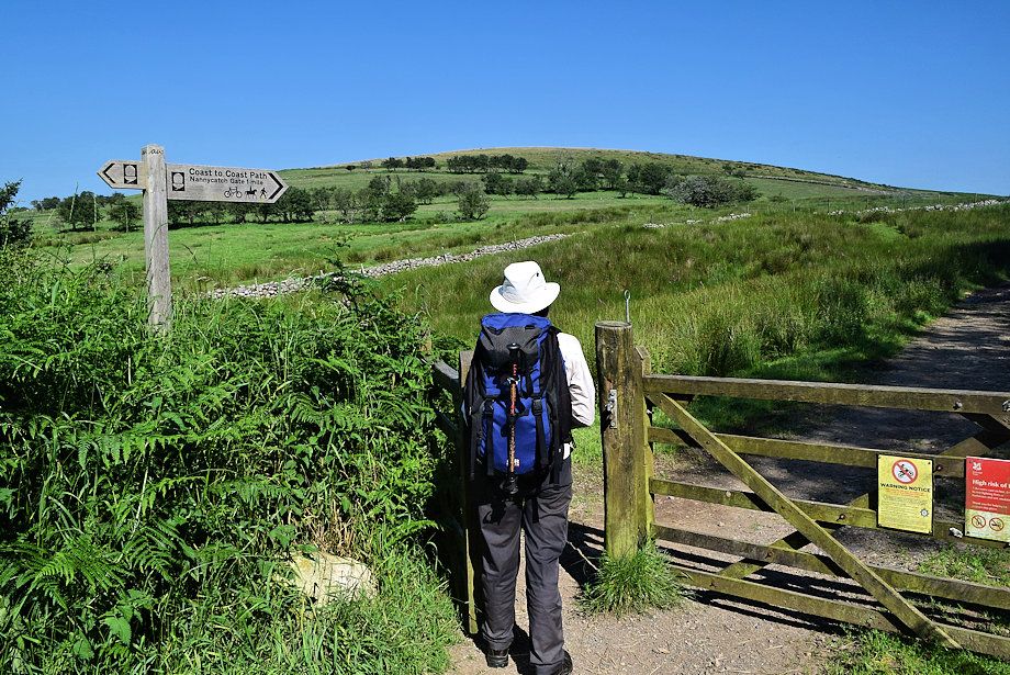 |
| Flat Fell from the handgate |
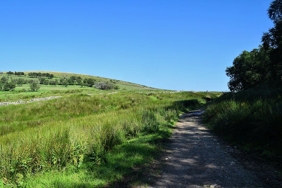 |
| The Coast to Coast Way continues on a rough track towards the valley of Nannycatch Beck to join the regular path at Nannycatch Gate |
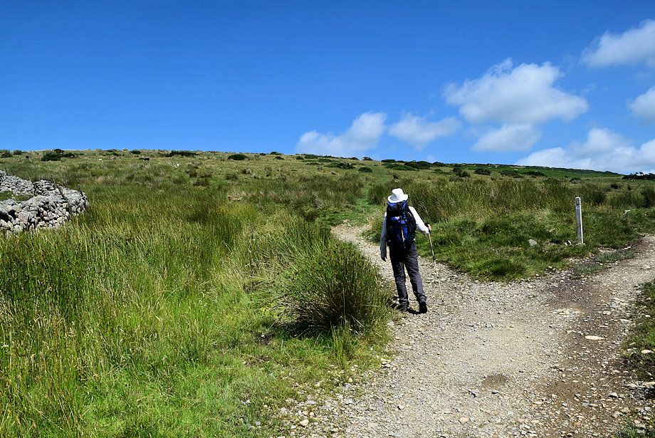 |
| We soon turn off left to begin the climb onto Flat Fell |
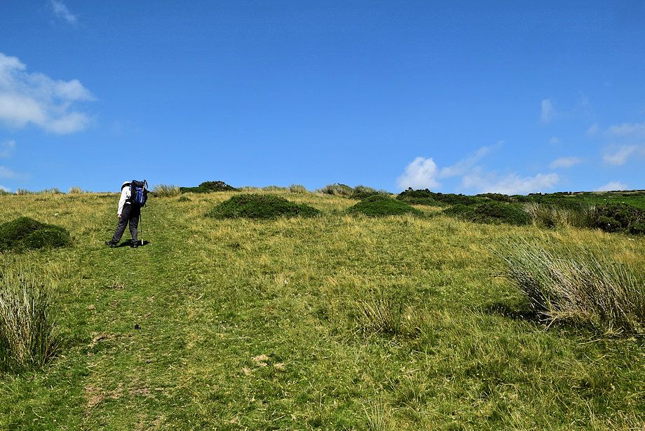 |
| A green path leads all the way up to the summit |
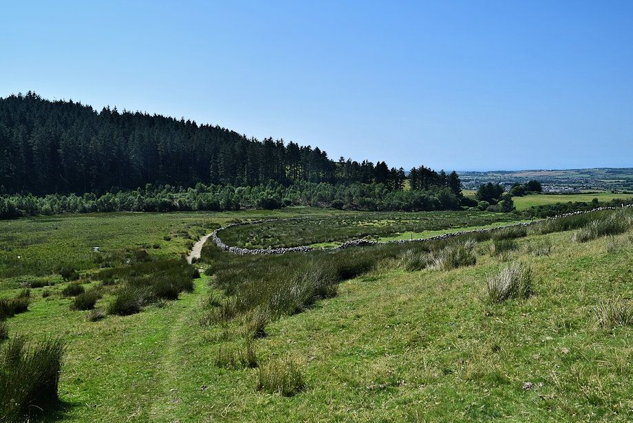 |
| Looking back from the start of the climb |
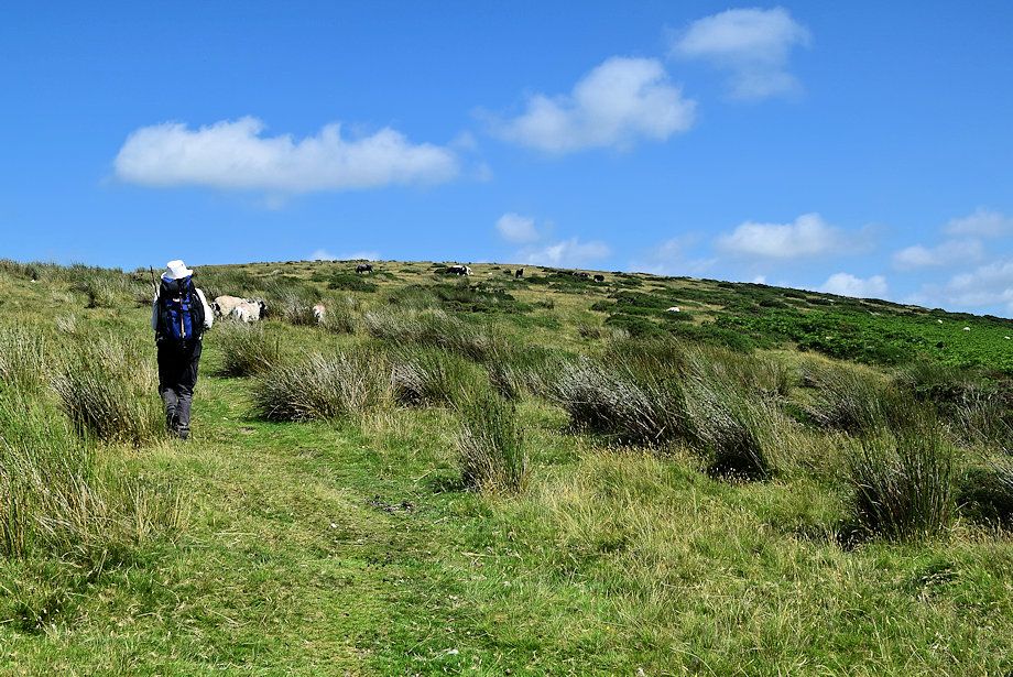 |
| A dozen or more ponies grazing among the sheep on the upper slopes |
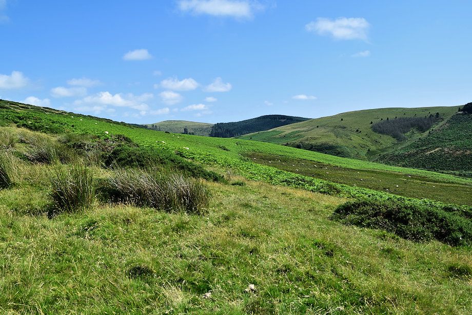 |
| Looking over towards Swarth Fell and Lowther Park |
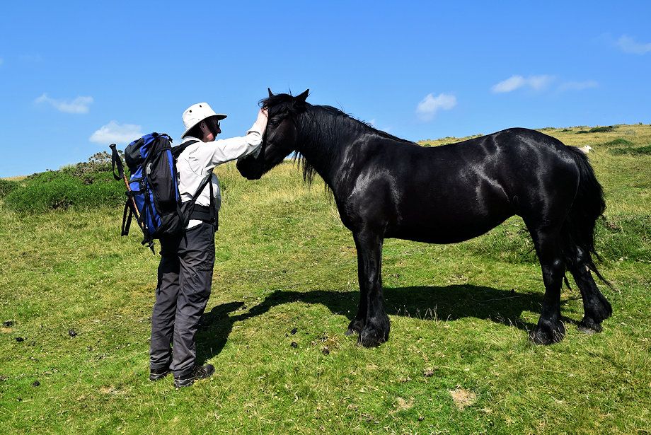 |
| The ponies are owned by a trekking centre/farm on the other side of the hill |
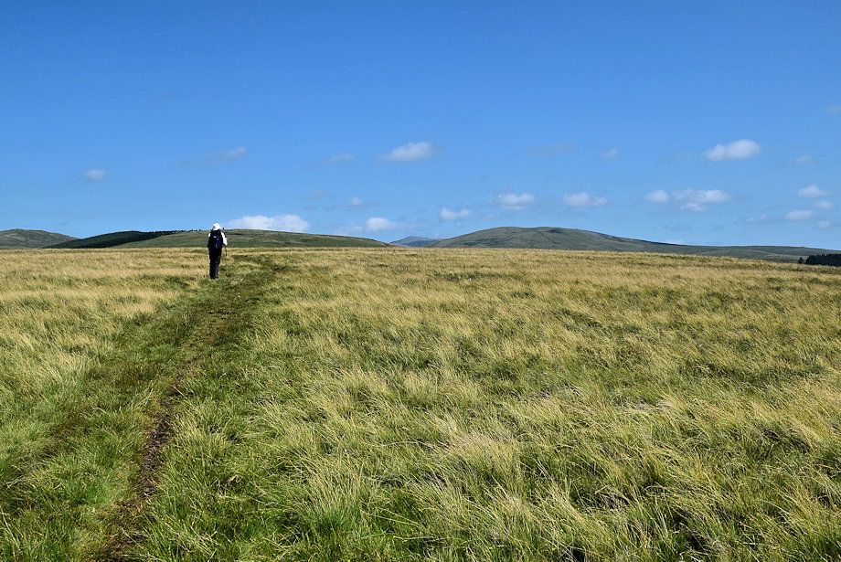 |
| On emerging onto the extensive summit plateau, the tops of Blakeley Raise, Haycock and Lank Rigg come into view |
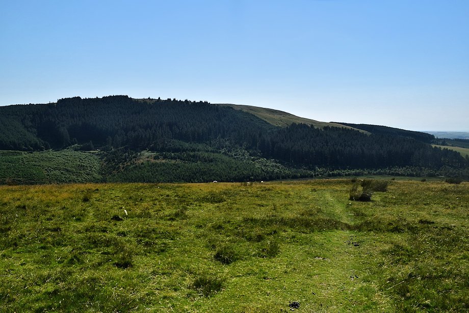 |
| Looking back towards Dent |
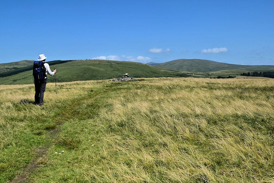 |
| Approaching the summit of Flat Fell |
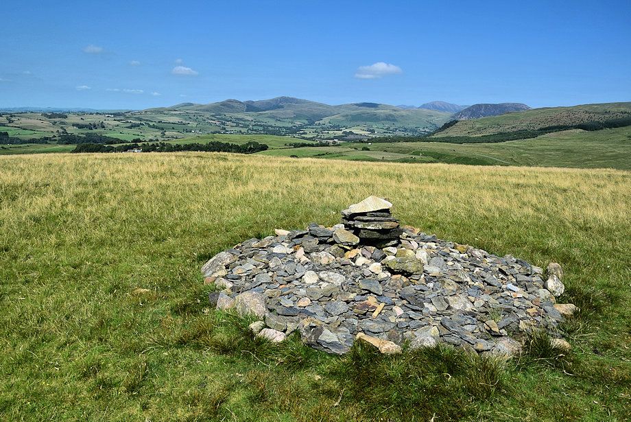 |
| The summit cairn on Flat Fell |
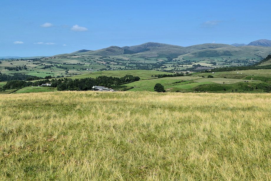 |
| Blake Fell from the summit of Flat Fell |
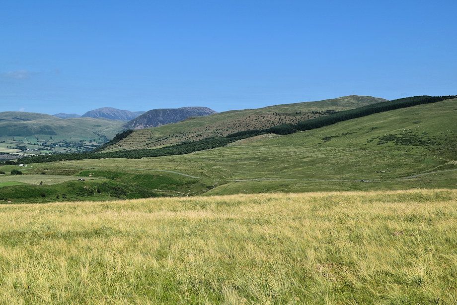 |
| Grasmoor, Great Borne and Grike from the summit of Flat Fell |
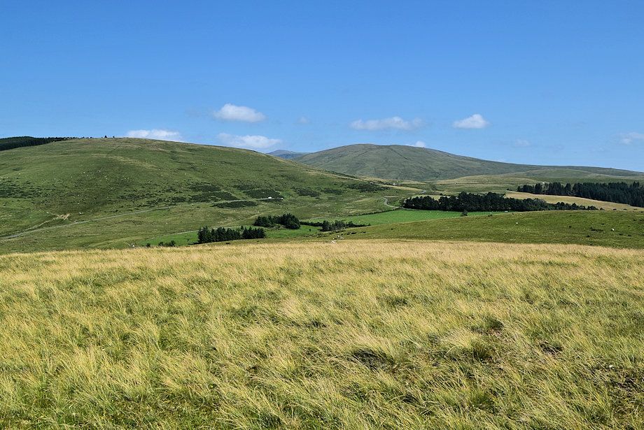 |
| Blakeley Raise, Haycock and Lank Rigg from the summit of Flat Fell |
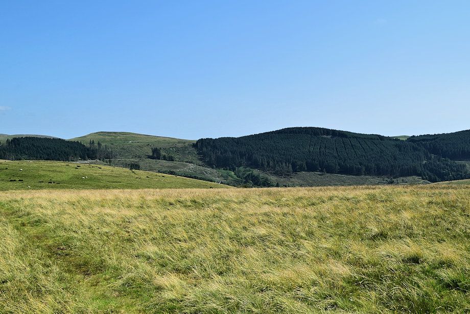 |
| Swarth Fell and Lowther Park from the summit of Flat Fell |
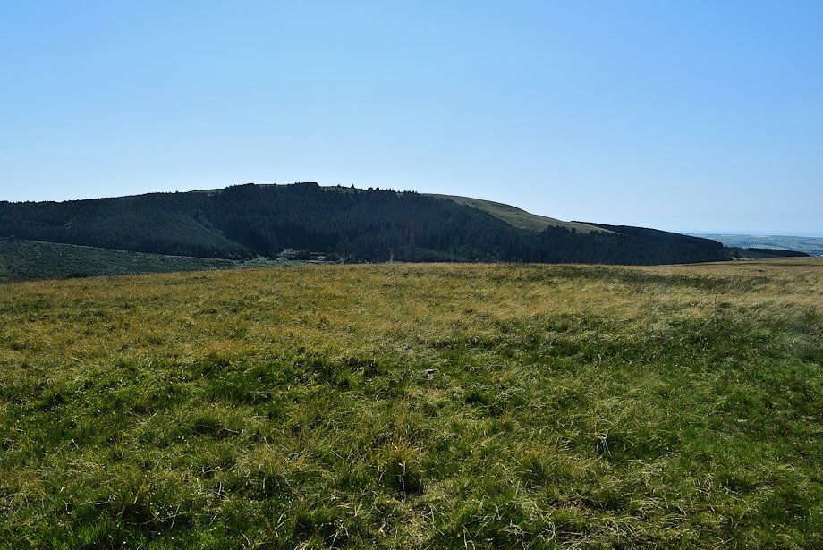 |
| Dent from the summit of Flat Fell |